The best walks and hikes around Lake Pend Oreille
5.0
(3)
88
hikers
22
hikes
If you've ever tried planning hiking around Lake Pend Oreille, you know how quickly the options can become overwhelming. With so many trails winding through forests and along the shoreline, it's tough to know which ones are genuinely worth your time and effort, and which are just filler. We get it – you want the highlights, not the guesswork.
That's where we come in. Our komoot community has explored, mapped, and reviewed countless routes around this stunning lake, so we've done the legwork to bring you a curated shortlist of the very best. This guide cuts through the noise, offering you a direct path to the trails that deliver on views, challenge, or pure lakeside serenity. You'll find everything from easy, flat paths perfect for a leisurely stroll to more demanding climbs into the surrounding Selkirk and Cabinet mountains, all offering those iconic views of Idaho's largest lake.
If you only do one hike, we'd start with the Mineral Point Trail, an easy 3.6 miles (5.8 km) that follows the shoreline with fantastic lake views – it's a local favorite for a reason. For a slightly longer, more varied experience, the Lost Lake and Mineral Point Loop offers a moderate 4.8 miles (7.7 km) combining lakeside sections with routes through the surrounding forest. With more than 70 hikers already exploring Lake Pend Oreille with komoot, you're in good company. Let's hit the trails!
Last updated: May 10, 2026
5.0
(1)
2
hikers
10.8km
02:50
100m
90m
The Lynx Trail in Farragut State Park offers a delightful journey through well-kept forest, primarily on hard-packed dirt and some gravel sections. It's a pleasant, rolling path that connects various other trails on the southern side of the park, winding past campgrounds and even a disc golf course. This easy 6.7-mile (10.8 km) hike with 326 feet (99 metres) of elevation gain is perfect for a relaxed day out, taking about 2 hours and 50 minutes.
To access the Lynx Trail, you'll need to enter Farragut State Park, where ample parking is available at various points within the park's internal trail system. It's a great option for a casual stroll any time of year, though spring and fall offer particularly comfortable temperatures. This trail is known for its accessibility and is a popular route for families.
What makes the Lynx Trail stand out is its role as a connector within the park, allowing you to easily link up with other routes and explore more of Farragut State Park. You can even visit the "Museum At The Brig," a former Navy Brig from WWII, which adds a unique historical element to your visit. It's a fantastic choice for those seeking a family-friendly, dog-friendly trail with minimal hiking difficulty and elevation.
3.66km
00:59
40m
40m
The Shoreline Trail offers a delightful, easy escape for anyone craving a quick walk by the water. This 2.3-mile (3.7 km) route is designed for relaxation, featuring a minimal 134 feet (41 metres) of elevation gain, ensuring a comfortable experience for all skill levels. You can anticipate a refreshing atmosphere and scenic views, making it an ideal spot for a leisurely outing that takes just under an hour, around 58 minutes.
Planning your visit to this easy Shoreline Trail is straightforward; it's a great option for a spontaneous walk without needing extensive preparation. The trail's accessibility makes it suitable for most times of day, though a morning or late afternoon visit might offer the best light and temperatures. You'll find it's a perfect choice for families or those new to hiking, providing a pleasant experience without any significant challenges.
While many trails share the "Shoreline Trail" name across the United States, this particular route in Idaho's Kootenai County provides a simple, enjoyable connection to nature. Its gentle profile and short distance make it a fantastic option for a quick dose of fresh air, perhaps as a warm-up for longer adventures or a peaceful interlude in your day. It's a testament to how even a short, easy trail can offer a valuable outdoor experience.

Sign up for free
4.63km
01:11
10m
10m
The Long Bridge - Sagle Trail, also known as the Serenity Lee Trail, offers an accessible and scenic experience, primarily across the impressive 2-mile pedestrian bridge spanning the Pend Oreille River. You'll enjoy expansive views of Lake Pend Oreille and the surrounding mountains, making it a fantastic choice for a relaxing outing. The paved surface is mostly flat, though some sections beyond the bridge have gentle ups and downs, providing a varied but always easy journey.
This multi-use trail is popular with walkers, runners, and cyclists, connecting Sandpoint to Sagle. You can begin your adventure from either end, with the Sagle start immediately placing you on the bridge for instant views. Parking is generally available at both access points, but arriving earlier in the day is always a good idea, especially during warmer months, to secure a spot and enjoy cooler temperatures.
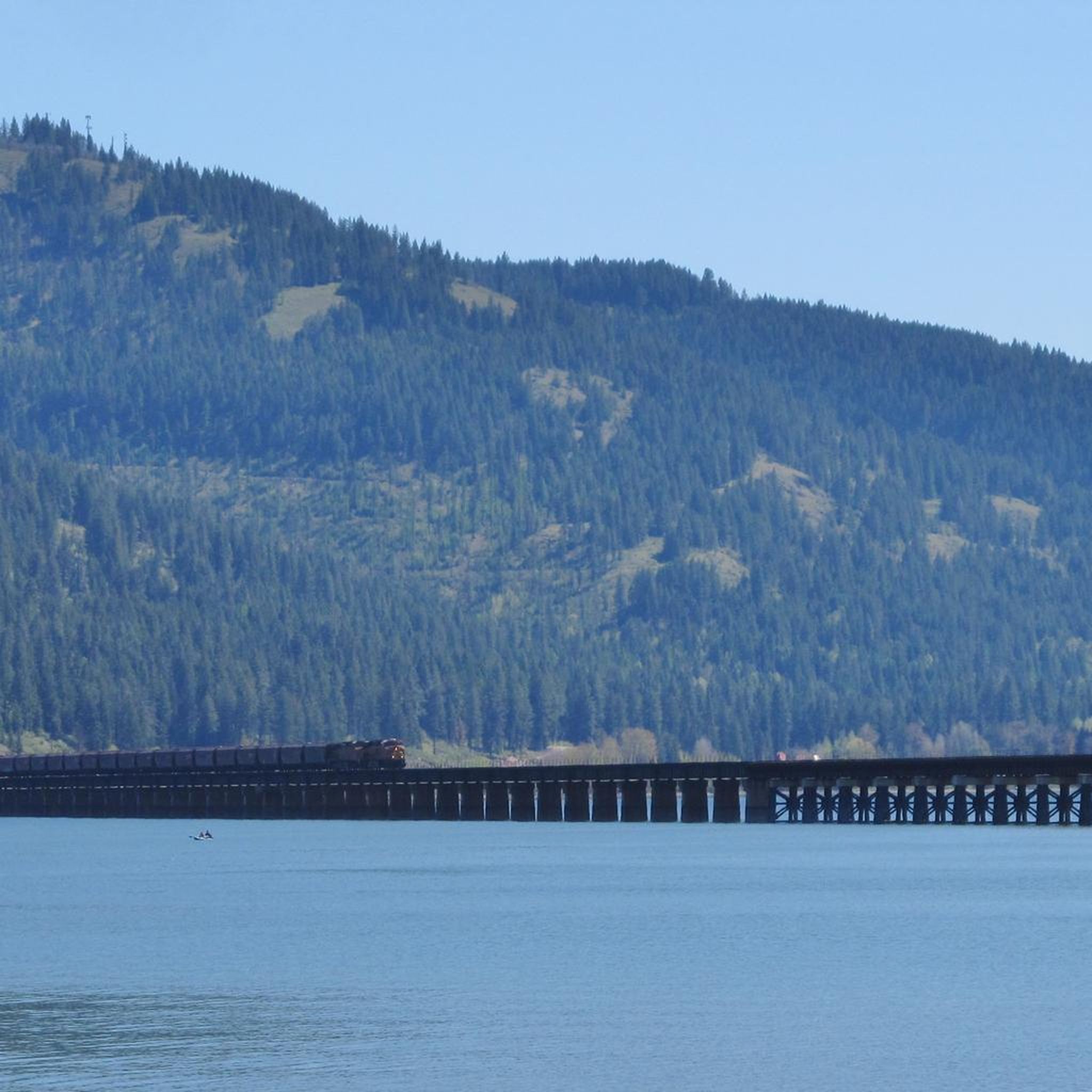
What truly sets this route apart is the unique experience of walking over the historic Long Bridge, offering continuous panoramic vistas that are hard to beat. It's an ideal family-friendly hike near Sagle, Idaho, perfect for beginners or anyone seeking a low-impact activity with high scenic rewards. Keep an eye out for passing trains on the parallel railroad bridge, adding another interesting element to the landscape.
7
hikers
5.84km
01:42
160m
160m
The Mineral Point Trail offers a genuinely rewarding hiking experience, guiding you through lush temperate rainforests and along high, rocky shores. You'll encounter diverse terrain, from gentle grades to some intensely climbing sections, all while being treated to motivating vistas of Lake Pend Oreille and the distant snow-capped mountains. The highlight is undoubtedly the main viewpoint at Mineral Point, where you can soak in the expansive scenery.
Planning your visit is straightforward, with access points at Green Bay Campground and Forest Road 532. Amenities like toilets are available at both locations. While the trail is generally accessible year-round, it's wise to check for seasonal considerations; winter conditions can make access roads impassable until late spring, impacting the best time to hike Mineral Point Trail.
This trail is a local favorite, popular with hikers, mountain bikers, and horseback riders alike, so expect to share the path. It's a fantastic family friendly hike, offering a taste of the Kaniksu National Forest's beauty and opportunities for wildlife spotting, particularly waterfowl and migratory songbirds around smaller bodies of water like Lost Lake.
2
hikers
7.66km
02:08
140m
150m
The Lost Lake and Mineral Point Loop offers a delightful hiking experience, winding through deep forests with impressive groves of Western Red Cedar and opening up to spectacular views of Lake Pend Oreille from Mineral Point. You'll traverse a mix of singletrack and old logging roads, encountering small lakes like Lost Lake and Mud Lake, where you might spot a beaver lodge. The trail is particularly known for its abundant and diverse wildflowers, which blanket the forest floor from late spring through mid-summer, adding vibrant color to your journey.
This moderate 4.8-mile (7.7 km) loop involves an elevation gain of 473 feet (144 metres) and typically takes around 2 hours and 8 minutes to complete. The trailhead is easily accessible, and the route is well-maintained with bridges and picnic areas. While open year-round, be aware that winter conditions can make access roads impassable due to snow or mud, so check conditions before you go. The trail is popular and shared with mountain bikers and horseback riders, so be mindful of others.
Beyond the scenic beauty, the Lost Lake and Mineral Point Loop connects to the Green Bay Campground and beach, offering opportunities for swimming and lakeside relaxation after your hike. The Mineral Point trail itself is dedicated to Brent "Jake" Jacobson, a Forest Service law enforcement officer, adding a touch of local history to your adventure. It's a fantastic option for a family-friendly hike or anyone looking to explore the natural beauty of Bonner County.
Get access to more routes and recommendations from other explorers.
Sign up for free
Already have an account?
Our route recommendations are based on thousands of hikes, rides, and runs completed by other people on komoot.
Start today with a free account
Your next adventure awaits.
Login or Signup

Tips from the Community

Mud Lake Trail is a flat section of trail that makes covering the distance a breeze. You wind in and out of the trees with sporadic openings above.
0
0

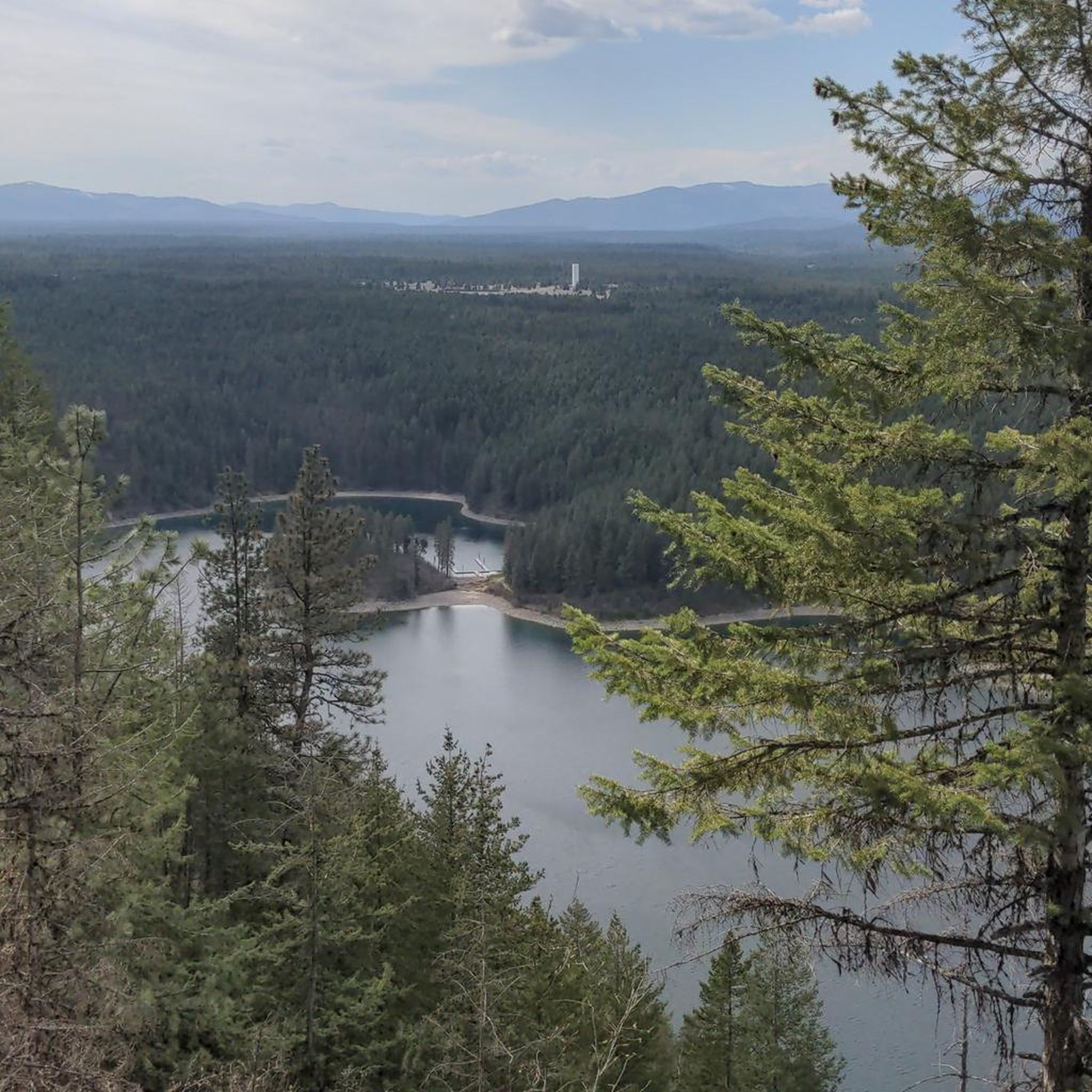
The Mineral Point Trail boasts magnificent lake views and a leisurely path through old- and new-growth forest. The stunning Monarch Mountains can be viewed from the trail, which ends (or begins) at the Green Bay campground, which features a beach, picnic tables, and fire rings.
0
0
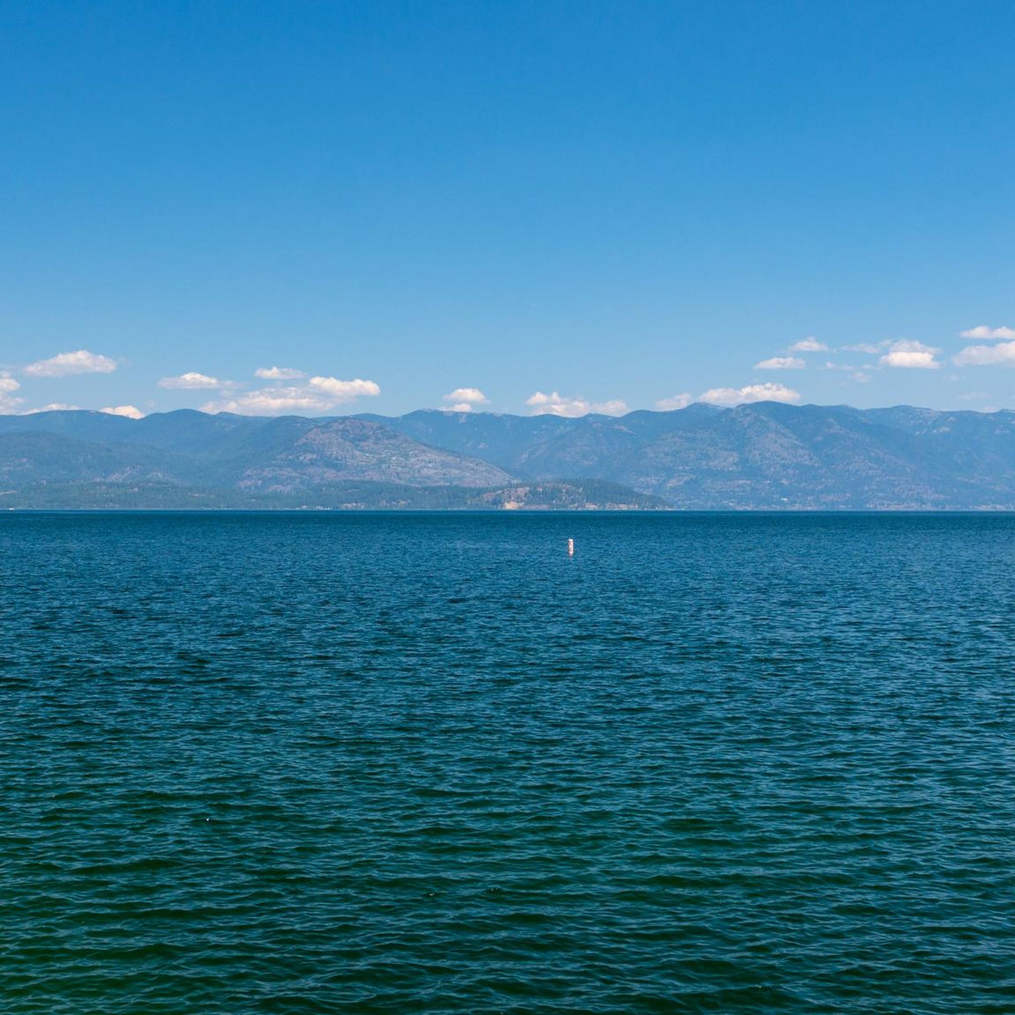
At an impressive depth of 1,150 ft (351 m), Lake Pend Oreille is home to fish species such as trout, kokanee, bass, and bullhead.
0
0
Frequently Asked Questions
Are there many dog-friendly hiking trails around Lake Pend Oreille?
Yes, many trails in the Lake Pend Oreille area are welcoming to dogs. A particularly good option is the Sandpoint City Beach Park – Downtown Sandpoint loop, which is an easy walk. Another popular choice among dog owners is the Pend d'Oreille Bay Trail, known for its beautiful lake views and off-leash friendly policy for well-behaved dogs. As always, it's best to keep your dog under control and carry water for them, especially on warmer days.
What are some good, easy hikes for families near Lake Pend Oreille?
The area offers several excellent choices for family outings. The City Beach Park loop — Sandpoint is a very short and flat walk perfect for all ages. For a slightly longer but still easy adventure through the woods, consider the Gamlin Lake Trail. Farragut State Park, at the southern end of the lake, also has over nine miles of mostly flat trails that are ideal for families.
When is the best time of year to hike around Lake Pend Oreille?
The prime hiking season is from late spring through fall, typically May to October. Summer offers warm weather perfect for combining a hike with a swim in the lake. Spring is beautiful with blooming wildflowers, while autumn provides stunning fall colors and cooler temperatures. Higher elevation trails may hold snow until late spring or early summer, so always check conditions before you go.
Are there any challenging or difficult hikes for experienced hikers?
Absolutely. For a strenuous climb with rewarding views, the Mickinnick Trail is a local favorite. It's a tough 3.5-mile ascent gaining over 2,000 feet, but the panoramic views of Sandpoint, the lake, and the Cabinet Mountains are well worth the effort. Another challenging option is the Gold Hill Trail, which involves a significant climb to a scenic overlook.
Where can I find the best viewpoints of Lake Pend Oreille?
Many trails offer spectacular vistas. For an accessible option with great shoreline views, the Mineral Point Trail is a top choice. For more elevated, panoramic views that require a strenuous hike, both the Mickinnick Trail and Gold Hill Trail lead to overlooks with extraordinary perspectives of the lake and surrounding mountain ranges.
What are the trail conditions generally like?
Trails are typically well-maintained, especially popular ones near Sandpoint. Lower elevation and shoreline paths like the Pend d'Oreille Bay Trail are clear for most of the year. Higher elevation routes can have snow into late spring and may have fallen trees after storms. It's always a good idea to wear sturdy footwear as some trails can be rocky or have significant tree roots.
Are there any hikes that lead to a place to swim?
Yes, many of the lakeside trails offer opportunities for a refreshing swim. The Mineral Point to Mud Lake Trail loop provides access to the shoreline at various points. The trails in and around Sandpoint's City Beach are also perfect for a post-hike dip in the lake on a warm day.
How many hiking trails are there around Lake Pend Oreille?
There are over 10 designated hiking routes available on komoot for the Lake Pend Oreille area, ranging from easy lakeside strolls to difficult mountain climbs. This network is part of a much larger system of trails within the surrounding Idaho Panhandle National Forests, offering countless options for exploration.
What do other hikers enjoy most about the trails in this region?
The trails around Lake Pend Oreille are highly rated by the komoot community. Hikers frequently praise the stunning and varied scenery, from the dense, quiet cedar forests to the dramatic, panoramic views of the lake from higher elevations. The well-marked paths and the mix of trails suitable for all fitness levels are also commonly highlighted.
Where is the trailhead for the Pend d'Oreille Bay Trail?
The main trailhead for the Pend d'Oreille Bay Trail is located in Ponderay, just north of Sandpoint. You can find it at the end of a designated road, with parking available. Its location right near the water makes it a very accessible and popular starting point for a scenic shoreline walk.
Are there any good hikes directly from the town of Sandpoint?
Yes, you can easily access trails directly from Sandpoint. The Pend d'Oreille Bay Trail starts near the town, offering a beautiful walk along the water. Additionally, the trails around City Beach Park provide a very convenient and scenic option for a short hike without needing to drive to a trailhead.
Most popular routes around Lake Pend Oreille

Get inspired with the komoot mobile app


Explore more
Browse the best Hikes in other regions.
