The best road cycling routes around Stora Bjurevatten
59
riders
4
rides
Road cycling around Stora Bjurevatten offers routes through a landscape characterized by forests, hilly sections, and proximity to various lakes. The region, located in Västra Götaland, features a diverse natural environment. While specific road cycling infrastructure is not prominent, existing paved roads provide opportunities for exploration. Routes often include elevation changes, reflecting the area's varied topography.
Best road cycling routes around Stora Bjurevatten
- The most popular road cycling route is View of Tjörn Bridge and Beach – Skåra Hantverksbageri loop…
Last updated: October 12, 2026
8
riders
Moderate road ride. Good fitness required. Some segments of this route may be unpaved and difficult to ride.
2
riders
32.6km
01:26
300m
300m
Moderate road ride. Good fitness required. Mostly well-paved surfaces and easy to ride.

4
riders
33.5km
01:29
330m
330m
Moderate road ride. Good fitness required. Mostly well-paved surfaces and easy to ride.
31
riders
40.2km
01:47
300m
300m
Easy road ride. Great for any fitness level. Mostly well-paved surfaces and easy to ride.
2
riders
29.6km
01:17
260m
260m
Easy road ride. Great for any fitness level. Mostly well-paved surfaces and easy to ride.
Our route recommendations are based on thousands of hikes, rides, and runs completed by other people on komoot.
Start today with a free account
Your next adventure awaits.

Tips from the Community

Good asphalt, but more traffic than expected.
0
0


...and not only that, but also a tourist attraction. They also serve coffee for customers. This bakery has been in existence since 1877.
0
0

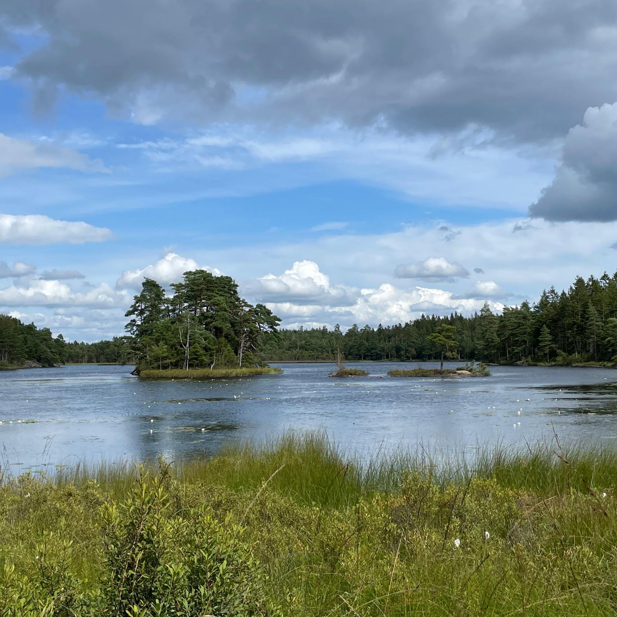
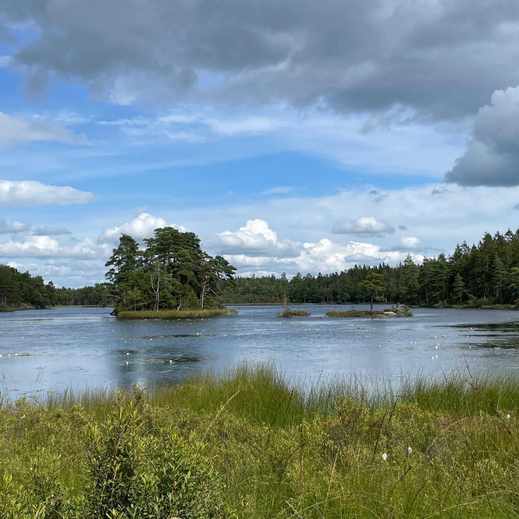
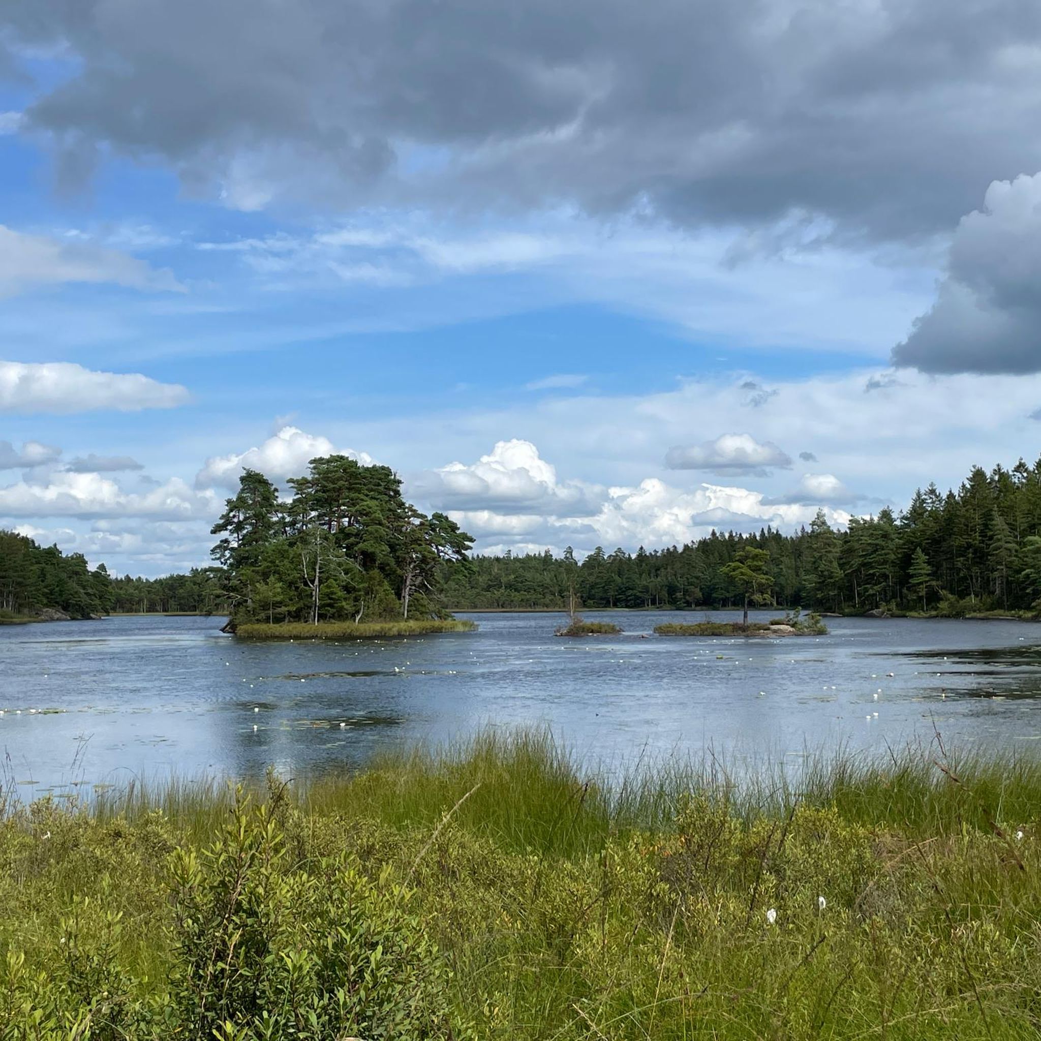
Along the road you can get great views of the small lakes on the side.
0
0
From this point you get a great view of the beach.
1
0

Although the fortress is closed in winter, it is still worth visiting.
1
0

In the Middle Ages, Bohus Fortress was considered one of the largest, most massive and impregnable fortresses in Northern Europe. The fortress was the southernmost border fortress in Norway, built in 1308 by the Norwegian King Håkon V. Magnusson. The fortress is located on a 40 metre high cliff on the island of Bagaholmen. At that time, Bagaholmen was surrounded by the River Göta and lay at the intersection of the three neighbouring kingdoms (Norway to the west, Sweden to the east and Denmark to the south). From the fortress there was good control over shipping on the river.
0
0
Walk around the fortress and listen to the walls telling their stories of kings, saints, power struggles, traitors and prisoners.
0
0
Frequently Asked Questions
What kind of terrain can I expect when road cycling around Stora Bjurevatten?
Road cycling routes around Stora Bjurevatten feature a diverse landscape characterized by forests, hilly sections, and proximity to various lakes. You'll encounter elevation changes reflecting the area's varied topography, offering a mix of challenges and scenic views.
Are there road cycling routes suitable for beginners in Stora Bjurevatten?
Yes, there is at least one easy road cycling route available. For example, the Bohus Fortress loop from Ranebolunds naturreservat is classified as easy, covering about 39.7 km with moderate elevation gain, making it a good option for those new to the area or looking for a less strenuous ride.
What are some popular road cycling routes that offer scenic views?
One highly regarded route is the View of Tjörn Bridge and Beach – Skåra Hantverksbageri loop from Ucklum. This 77.1 km route offers impressive views of the Tjörn Bridge and coastal areas, providing a memorable cycling experience.
Are there any road cycling routes that pass by lakes or natural reserves?
Absolutely. The Västersjön – Rest Spot by the Lake loop from Ucklum is a 78.4 km trail that leads through varied terrain with beautiful lakeside sections. Another option is the Hasteröd damm loop from Ucklum, which navigates through forested areas and passes by the Hasteröd damm.
How many road cycling routes are available in the Stora Bjurevatten area?
There are 5 road cycling routes detailed in this guide for the Stora Bjurevatten area, ranging from easy to moderate difficulty, providing options for various skill levels.
What is the typical duration for a road cycling tour in this region?
The duration varies depending on the route and your pace. For instance, the View of Tjörn Bridge and Beach – Skåra Hantverksbageri loop from Ucklum typically takes around 3 hours and 23 minutes, while the longer Västersjön – Rest Spot by the Lake loop from Ucklum can take about 3 hours and 45 minutes.
Are the road cycling routes around Stora Bjurevatten generally loop trails?
Yes, all the featured road cycling routes in this guide are designed as loop trails, allowing you to start and finish at the same point without needing to retrace your path.
What is the difficulty level of most road cycling routes in Stora Bjurevatten?
Most road cycling routes in the Stora Bjurevatten area are classified as moderate. This means they often include some elevation changes and cover distances that require a reasonable level of fitness, offering a good challenge for experienced cyclists.
Is Stora Bjurevatten known for specific road cycling infrastructure?
While Stora Bjurevatten is highly regarded for outdoor activities, particularly mountain biking, specific dedicated road cycling infrastructure is not prominently highlighted. However, existing paved roads in the surrounding area provide ample opportunities for road cyclists to explore the region's natural beauty.
Are there any routes that explore natural reserves?
Yes, the Rännorna – Bratteforsåns naturreservat loop from Ucklum is a moderate 33.5 km route that takes you through the vicinity of Bratteforsåns naturreservat, offering a chance to experience the local natural environment.
What kind of elevation gain can I expect on the road cycling routes?
The routes vary in elevation gain. For example, the easy Bohus Fortress loop from Ranebolunds naturreservat has about 293 meters of ascent, while more challenging moderate routes like the Västersjön – Rest Spot by the Lake loop from Ucklum can feature around 648 meters of climbing.
Most popular routes around Stora Bjurevatten

Get inspired with the komoot mobile app


Explore more
Browse the best Road cycling routes in other regions.
