The best walks and hikes around Chavannes-de-Bogis
4.4
(908)
6,728
hikers
426
hikes
Hiking around Chavannes-de-Bogis provides access to diverse landscapes, from the foothills of the Jura mountains to views overlooking Lake Geneva. The terrain features a mix of forests, open meadow landscapes, and elevated points offering panoramic vistas. This area is characterized by its varied elevation, providing both gentle paths and more challenging ascents.
Best hiking trails around Chavannes-de-Bogis
- The most popular hiking route is Mount Mourex – Panoramic map loop from Grilly, a 7.3 miles (11.8 km) trail that takes…
Last updated: July 1, 2026
4.5
(15)
115
hikers
11.4km
03:18
300m
300m
Moderate hike. Good fitness required. Easily-accessible paths. Suitable for all skill levels.
4.5
(10)
94
hikers
11.6km
03:20
280m
280m
Moderate hike. Good fitness required. Easily-accessible paths. Suitable for all skill levels.

Sign up for free
4.5
(14)
402
hikers
Easy hike. Great for any fitness level. Easily-accessible paths. Suitable for all skill levels.
4.4
(7)
27
hikers
16.2km
04:38
380m
380m
Moderate hike. Good fitness required. Easily-accessible paths. Suitable for all skill levels.
20
hikers
13.6km
03:29
60m
60m
Moderate hike. Good fitness required. Easily-accessible paths. Suitable for all skill levels.
Get access to more routes and recommendations from other explorers.
Sign up for free
Already have an account?
Our route recommendations are based on thousands of hikes, rides, and runs completed by other people on komoot.
Start today with a free account
Your next adventure awaits.
Login or Signup

Tips from the Community

The Grande source and its streams gush out in a small wood at the foot of Mont-Mussy. They form the main source of La Divonne, a 22 km long river, which flows into Lake Geneva, in Switzerland, at Versoix.
0
0

Located in the Pays de Gex, east of the Ain department, the Château de Vesancy is an elegant residence surrounded by a wooded park. It offers a peaceful setting steeped in history, typical of the region's castles.
0
0

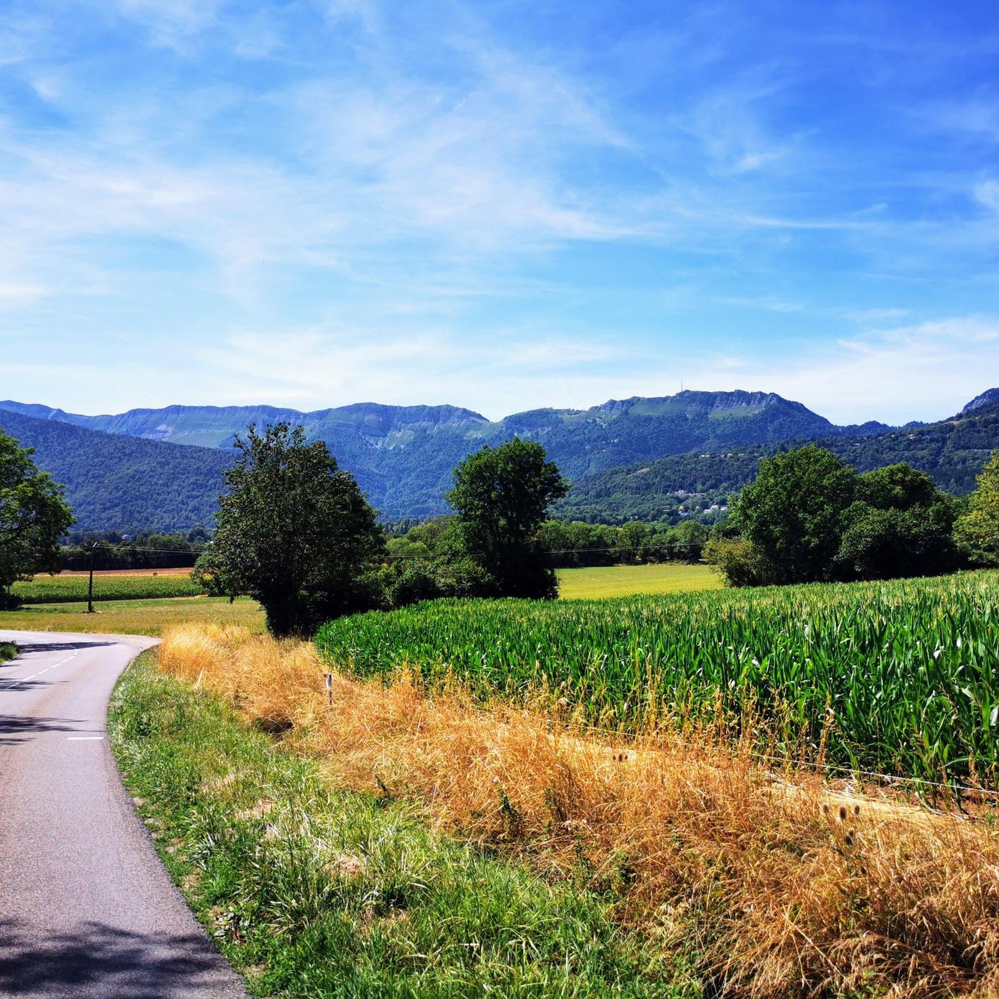
We are standing on Mont Mourex and looking across the lake to Mont Blanc.
0
0

beautiful recreational lake for walking, cycling, swimming, picnicking
1
0

An opportunity to avoid riding near cars. It's a shame we have to slow down so often to pass the gates that stop cars.
0
0

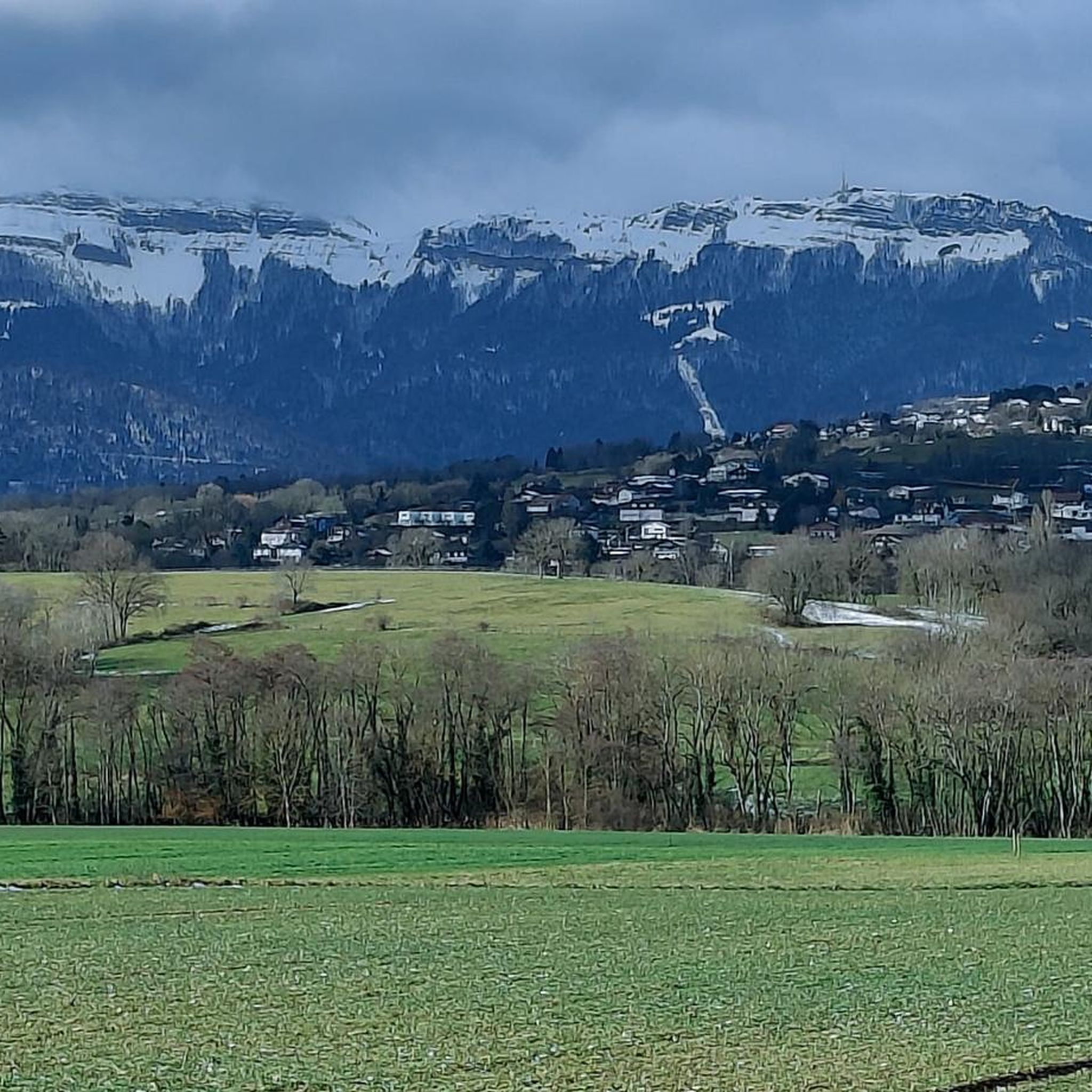
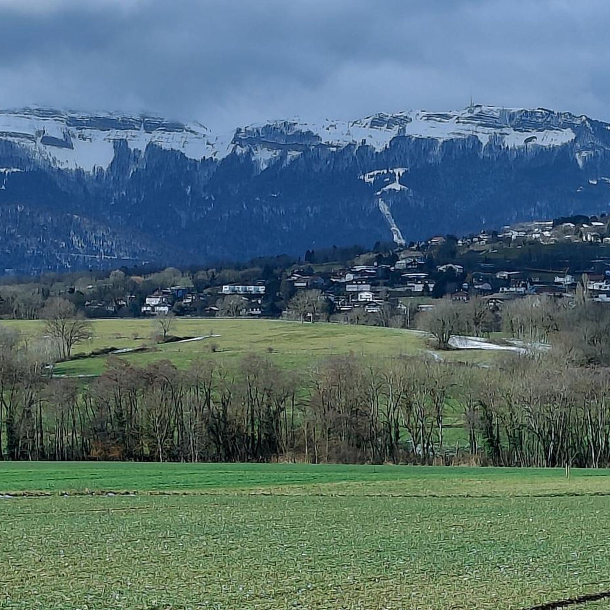
Chapel in the middle of the meadows with a view of the Lake Geneva basin
0
0

Near the chapel take the time to sit down and touch the silence...
0
0
Frequently Asked Questions
What kind of terrain can I expect on hikes around Chavannes-de-Bogis?
The region offers diverse landscapes, ranging from the foothills of the Jura mountains to areas overlooking Lake Geneva. You'll find a mix of forests, open meadow landscapes, and elevated points providing panoramic vistas. The terrain features varied elevation, offering both gentle paths and more challenging ascents.
Are there any easy hiking trails suitable for beginners or families?
Yes, there are plenty of easy options. For example, the Lac de Divonne – The Lake Chalet loop from Divonne-les-Bains is an easy 3.2-mile (5.2 km) trail that takes about 1 hour 19 minutes to complete, offering serene surroundings around Lac de Divonne. Overall, komoot lists over 220 easy routes in the area.
What are the best trails for panoramic views of Lake Geneva and the Alps?
For breathtaking panoramic views, consider trails that ascend Mont Mourex. The Mount Mourex – Panoramic map loop from Grilly offers expansive views of the Alps, Lake Geneva, and the Jura mountains. Another excellent option is the Mount Mourex – View from Mont Mourex loop from Divonne-les-Bains, which provides similar stunning vistas.
What notable landmarks or natural features can I see while hiking in the area?
Hikers can explore several significant points of interest. The La Dôle Summit offers magnificent panoramic views of Lake Geneva and is home to a unique meteorological station. Mont Mourex also provides stunning scenery encompassing the Alps and Lake Geneva. For a more rugged adventure, the La Baudichonne Pass and Boundary Markers leads through blossoming meadow landscapes.
Are there any circular hiking routes available?
Yes, many routes in the Chavannes-de-Bogis area are designed as loops. Examples include the Mount Mourex – Panoramic map loop from Grilly and the Lac de Divonne – The Lake Chalet loop from Divonne-les-Bains, which are both popular circular options.
What do other hikers enjoy most about the trails around Chavannes-de-Bogis?
The trails around Chavannes-de-Bogis are highly rated by the komoot community, with an average score of 4.4 stars from over 850 reviews. Hikers frequently praise the diverse landscapes, the stunning views of Lake Geneva and the Alps, and the variety of routes suitable for different ability levels, from easy lake loops to moderate mountain ascents.
Is there public transport access to hiking trails in the region?
While specific public transport connections to trailheads vary, Chavannes-de-Bogis is situated in a well-connected region. It's advisable to check local bus or train schedules for connections from major towns like Nyon or Divonne-les-Bains to the starting points of your chosen hikes.
Are there options for parking near the hiking trailheads?
Many trailheads in the area, especially those starting from towns like Divonne-les-Bains or Grilly, offer designated parking facilities. It's recommended to check the specific route details on komoot for information regarding parking availability at the start of your chosen hike.
What is the best time of year to go hiking in Chavannes-de-Bogis?
The region is beautiful for hiking from spring through autumn. In summer, especially above 1200m, you can enjoy blossoming meadow landscapes. The panoramic views are stunning on clear days throughout these seasons. Winter hiking is also possible, but some higher altitude paths, like parts of La Baudichonne Pass, might be more rugged or require specific gear.
Are there any cultural attractions nearby that can be combined with a hike?
Yes, the historic Château de Prangins, an 18th-century castle with extensive parks and gardens, is located in the vicinity. While not a hiking destination itself, it offers a cultural complement to outdoor excursions and a less strenuous outdoor experience.
How many hiking routes are available in total around Chavannes-de-Bogis?
There are over 420 hiking routes available around Chavannes-de-Bogis, catering to various skill levels. This includes approximately 225 easy routes, 170 moderate routes, and 26 difficult routes, ensuring options for every hiker.
Most popular routes around Chavannes-de-Bogis
Most popular attractions around Chavannes-de-Bogis

Get inspired with the komoot mobile app


Explore more
Browse the best Hikes in other regions.
