The best mountain hikes around Comarca de la Vega de Granada
3.7
(6)
56
hikers
8
hikes
Mountaineering around Comarca de la Vega de Granada is characterized by its immediate proximity to the Sierra Nevada mountains, offering a diverse range of high-altitude challenges. The region features prominent peaks exceeding 3,000 meters, including Mulhacén and Veleta, which dominate the landscape. Protected areas like the Sierra Nevada National Park showcase rugged terrain, deep gorges, and varied rock formations, providing a rich environment for alpine ascents and technical routes. The landscape transitions from fertile plains to dramatic mountain environments, with…
Last updated: October 14, 2026
4.7
(3)
20
hikers
13.6km
06:35
1,000m
990m
Hard mountaineering route. Very good fitness required. Sure-footedness, sturdy shoes and alpine experience required.
4.0
(1)
15
hikers
Hard mountaineering route. Very good fitness required. Sure-footedness, sturdy shoes and alpine experience required.

7
hikers
18.1km
08:40
1,430m
1,420m
Hard mountaineering route. Very good fitness required. Sure-footedness, sturdy shoes and alpine experience required.
4
hikers
Moderate mountaineering route. Good fitness required. Easily-accessible paths. Suitable for all skill levels.
4.0
(1)
6
hikers
12.2km
05:07
790m
780m
Hard mountaineering route. Very good fitness required. Sure-footedness, sturdy shoes and alpine experience required.
Get access to more routes and recommendations from other explorers.
Already have an account?
Our route recommendations are based on thousands of hikes, rides, and runs completed by other people on komoot.
Start today with a free account
Your next adventure awaits.
Popular around Comarca de la Vega de Granada

Mountain Hikes around Güejar Sierra

Mountain Hikes around Monachil

Mountain Hikes around Dílar

Mountain Hikes around Embalse de Canales
Mountain Hikes around Pinos Genil
Mountain Hikes around Cenes De La Vega
Mountain Hikes around Huétor Vega
Mountain Hikes around Gójar
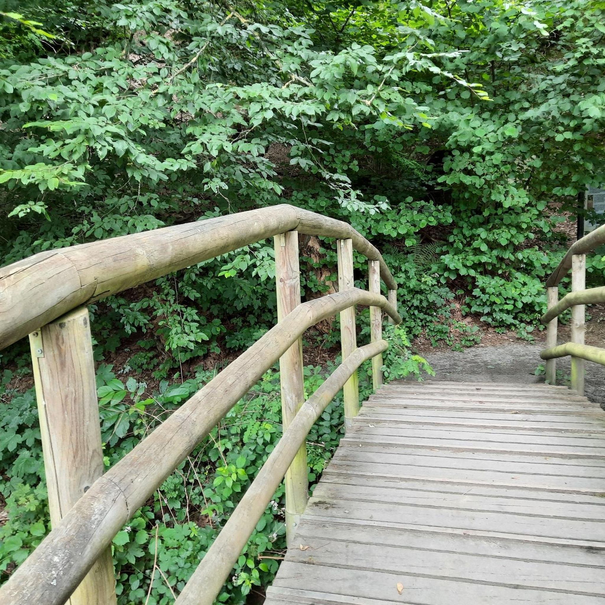
Mountain Hikes around Ogíjares
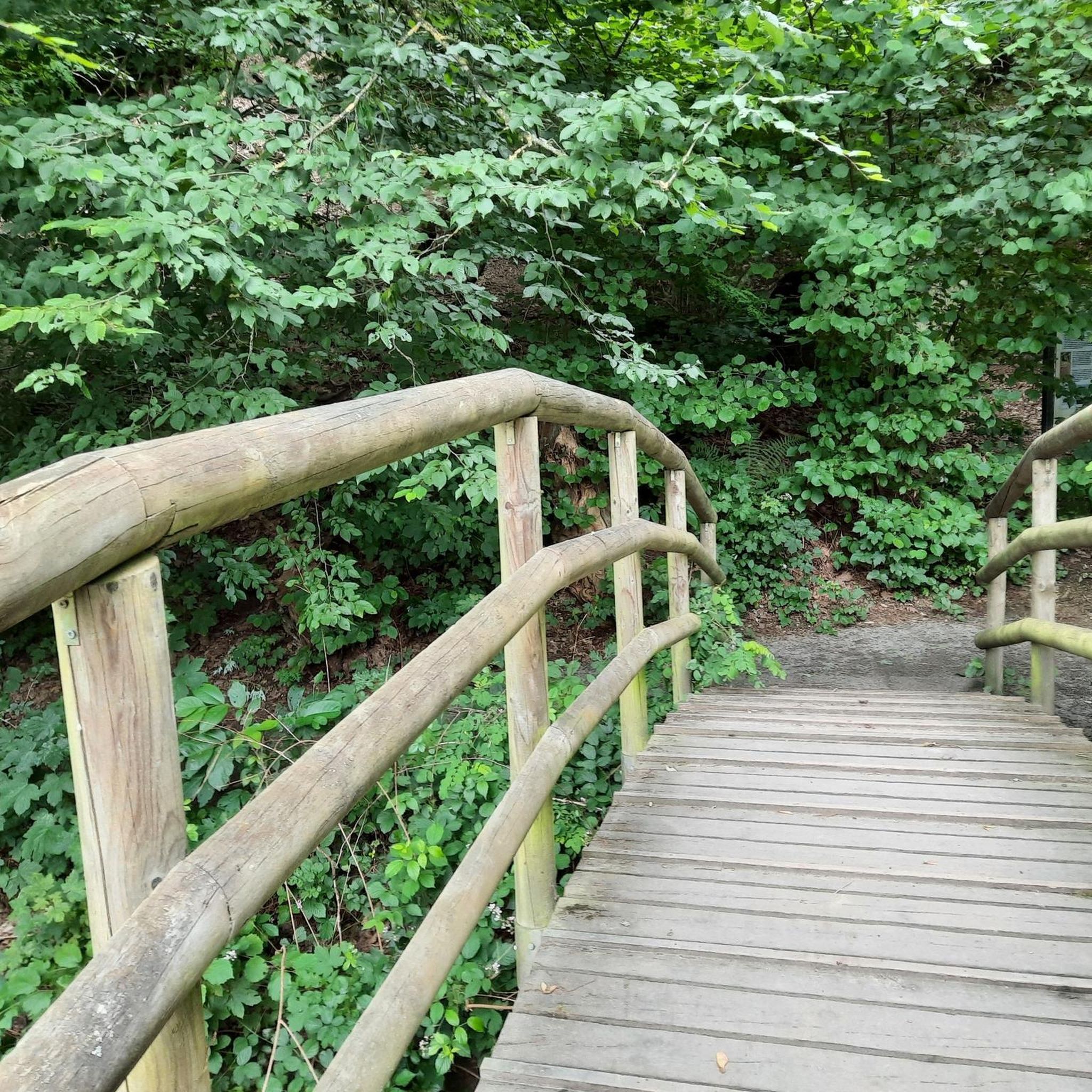
Mountain Hikes around Cájar
Other adventures around Comarca de la Vega de Granada


Tips from the Community

It is on the route from Prado llano to Veleta and it is a must-visit place for its wonderful views as well as its religious character. Peace, pure air and magnificent views of our Granada in the distance.
0
0

A cool but very tough route
0
0

Place to pass through to reach La Cortijuela at the foot of El Trevenque
0
0

In Trevélez, everything revolves almost exclusively around the air-dried Ibero ham produced here, which is known throughout Spain.
0
0

The Veleta Peak viewpoint, located in the Sierra Nevada mountains (Granada), is one of the most spectacular spots to enjoy panoramic high-mountain views on the Iberian Peninsula. From the summit of Veleta you can enjoy: Views of the Mediterranean Sea on clear days. Panoramic views of Mulhacén, the highest peak on the peninsula. High-mountain landscapes with rock formations, snow (in winter), and native flora.
2
0

Güéjar Sierra is a picturesque Granada town at the foot of the Sierra Nevada, which preserves the charm of its narrow streets and whitewashed houses. Surrounded by mountains, viewpoints, and trails.
1
0

Beautiful route...good fitness and the summit is doable.
0
0
Frequently Asked Questions
How many mountaineering routes are available in Comarca de la Vega de Granada?
Komoot features over a dozen mountaineering routes in the Comarca de la Vega de Granada region. These range from moderate to difficult, offering diverse challenges for experienced hikers and mountaineers.
What is the best time of year for mountaineering in the Sierra Nevada?
The Sierra Nevada mountains, which dominate the region, are characterized by snow-capped peaks from November to July. For high-altitude mountaineering, late spring (May-June) and early autumn (September-October) often provide the most stable weather conditions and less snow, though some routes may still require specific gear. Winter mountaineering is possible but demands advanced skills and equipment due to snow and ice.
Are there any circular mountaineering routes in the area?
Yes, many of the mountaineering routes in Comarca de la Vega de Granada are circular. For example, you can explore the challenging Mulhacén Peak – Pico del Veleta loop from Jardín Botánico Universitario de Sierra Nevada, which traverses two of the highest peaks in the Iberian Peninsula. Another popular option is the Canal de la Espartera – Bridge of the Seven Eyes loop from Era de los Pensamientos, offering a moderate ascent.
What kind of difficulty can I expect from these mountaineering routes?
The mountaineering routes in Comarca de la Vega de Granada are generally challenging. Out of the available routes, 8 are classified as difficult, and 4 are moderate. There are no easy mountaineering routes listed, indicating that most require a good level of fitness and experience. Routes like the View of Pico del Veleta – Pico Veleta viewpoint loop from Jardín Botánico Universitario de Sierra Nevada are considered difficult, offering expansive views across the Sierra Nevada range.
Are there any notable natural attractions or landmarks along the mountaineering trails?
Absolutely. The region is rich in natural beauty. You might encounter stunning mountain passes like Hoya de la Mora or the Scenic Section of the Puerto de Blancares Route. The dramatic Los Cahorros Gorge, Monachil, with its hanging bridges and waterfalls, is a highlight, as are other waterfalls like Lavaderos de la Reina. The routes often lead to iconic summits such as Sierra Nevada itself.
What do other mountaineers enjoy most about the routes in Comarca de la Vega de Granada?
The mountaineering routes in Comarca de la Vega de Granada are highly rated by the komoot community, with an average score of 4.4 stars from more than 10 reviews. Mountaineers often praise the challenging high-alpine terrain, the breathtaking panoramic views from peaks like Mulhacén and Veleta, and the diverse natural features found within the Sierra Nevada National and Natural Park.
Is public transport available to reach the trailheads for mountaineering?
While some trailheads might be accessible by local bus services, especially those closer to larger towns or ski resorts like Pradollano (Pradollano), many high-mountain starting points require private vehicle access. It's advisable to check specific routes and their starting points for public transport options, as direct access to remote areas can be limited.
Are there any permits required for mountaineering in the Sierra Nevada National Park?
A significant portion of the area falls within the Sierra Nevada Natural and National Park. While general hiking on established trails typically doesn't require a permit, certain activities, such as camping outside designated areas, specific research, or accessing highly protected zones, might. It's always best to check the official Sierra Nevada National Park website for the most current regulations regarding permits, especially for multi-day treks or specific high-altitude ascents.
What kind of wildlife might I encounter while mountaineering?
The Sierra Nevada National and Natural Park is a UNESCO Biosphere Reserve, home to rich biodiversity. While mountaineering, you might spot mountain goats, wild boars, and various bird species, including vultures. The region also boasts over 2,100 plant species, making it a fascinating area for nature observation.
Are there any less-known or 'hidden gem' mountaineering routes?
While many routes focus on the prominent peaks, exploring areas like the Alto de Calar loop from Güéjar Sierra can offer a different perspective. This route provides a challenging ascent away from the most frequented trails, allowing for a more secluded experience of the Sierra Nevada's rugged beauty.
Can I find accommodation or places to eat near the mountaineering trailheads?
Yes, towns and villages surrounding the Sierra Nevada, such as Monachil, Güéjar Sierra, Dílar, and Pradollano (Pradollano), offer various accommodation options, from hotels to guesthouses. You'll also find cafes, restaurants, and pubs in these settlements where you can refuel after your mountaineering adventures.
What gear should I bring for mountaineering in Comarca de la Vega de Granada?
Given the challenging nature and high altitudes of these routes, essential gear includes sturdy mountaineering boots, appropriate layers of clothing for varying weather conditions, waterproof and windproof outerwear, a map and compass (or GPS device), sufficient water and food, and sun protection. For routes with snow or ice, especially outside of peak summer, crampons, an ice axe, and possibly a helmet may be necessary. Always check the specific conditions for your chosen route.
Are there any moderate mountaineering options for those looking for a slightly less strenuous challenge?
Yes, while most routes are difficult, there are moderate options available. The Canal de la Espartera – Bridge of the Seven Eyes loop from Era de los Pensamientos is a good example of a moderate mountaineering route, offering a significant ascent without the extreme demands of the highest peaks. This route still provides beautiful mountain scenery and a rewarding experience.
Most popular routes around Comarca de la Vega de Granada
Most popular attractions around Comarca de la Vega de Granada

Get inspired with the komoot mobile app


Didn’t find what you were looking for?
Check out more Mountain Hikes & Routes throughout Comarca de la Vega de Granada below and find the perfect route in your destination.
Explore more
Browse the best Mountain Hikes & Routes in other regions.
