The best road cycling routes around Sierra Rioja Baja
4.8
(7)
864
riders
59
rides
Road cycling routes around Sierra Rioja Baja traverse a region characterized by dramatic geological formations, including striking reddish rock landscapes and rugged topography. The area features prominent river valleys like the Cidacos, offering routes alongside unique rock formations and through quiet country lanes. Cyclists encounter varied terrain, from the smooth, rounded mountains and dense forests of Sierra de Cebollera Natural Park to the more challenging climbs within the broader Iberian System. This sub-region of La Rioja provides a diverse environment…
Last updated: July 7, 2026
35
riders
65.7km
03:19
1,050m
1,060m
Hard road ride. Very good fitness required. Mostly well-paved surfaces and easy to ride.
9
riders
85.5km
04:14
1,340m
1,340m
Hard road ride. Very good fitness required. Some segments of this route may be unpaved and difficult to ride.

Sign up for free
9
riders
131km
06:44
2,290m
2,290m
Hard road ride. Very good fitness required. Some segments of this route may be unpaved and difficult to ride.
1
riders
57.8km
03:10
1,220m
1,220m
Hard road ride. Very good fitness required. Mostly well-paved surfaces and easy to ride.
11.6km
00:33
150m
140m
Easy road ride. Great for any fitness level. Mostly well-paved surfaces and easy to ride.
19
riders
77.8km
03:50
1,170m
1,170m
Hard road ride. Very good fitness required. Some segments of this route may be unpaved and difficult to ride.
14
riders
65.9km
03:28
1,190m
1,190m
Hard road ride. Very good fitness required. Some segments of this route may be unpaved and difficult to ride.
12
riders
60.4km
02:47
640m
640m
Moderate road ride. Good fitness required. Mostly well-paved surfaces and easy to ride.
5
riders
88.7km
04:30
1,380m
1,380m
Hard road ride. Very good fitness required. Some segments of this route may be unpaved and difficult to ride.
4
riders
34.4km
01:51
690m
700m
Moderate road ride. Good fitness required. Mostly well-paved surfaces and easy to ride.
Get access to more routes and recommendations from other explorers.
Sign up for free
Already have an account?
Our route recommendations are based on thousands of hikes, rides, and runs completed by other people on komoot.
Start today with a free account
Your next adventure awaits.
Login or Signup
Popular around Sierra Rioja Baja
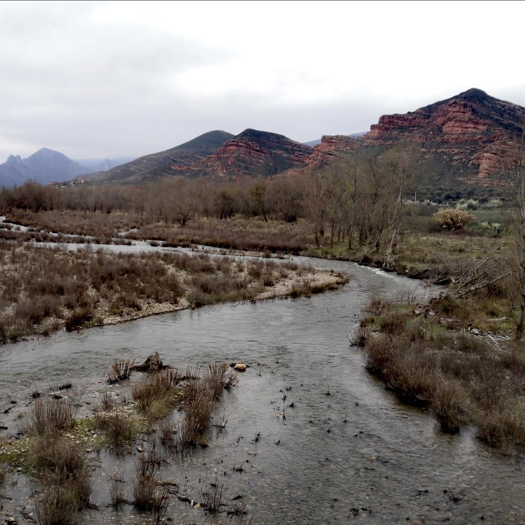
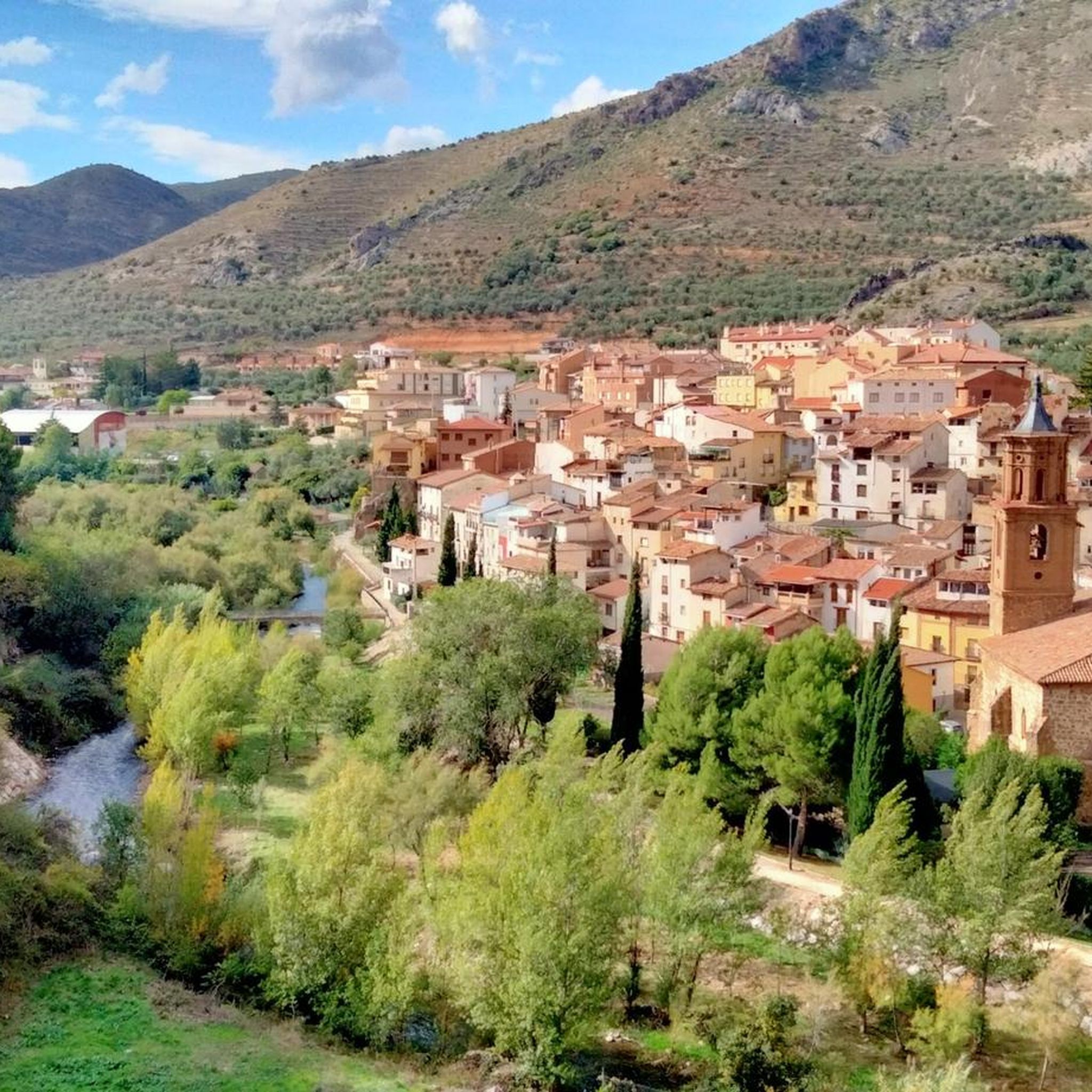
Road Cycling Routes around Préjano
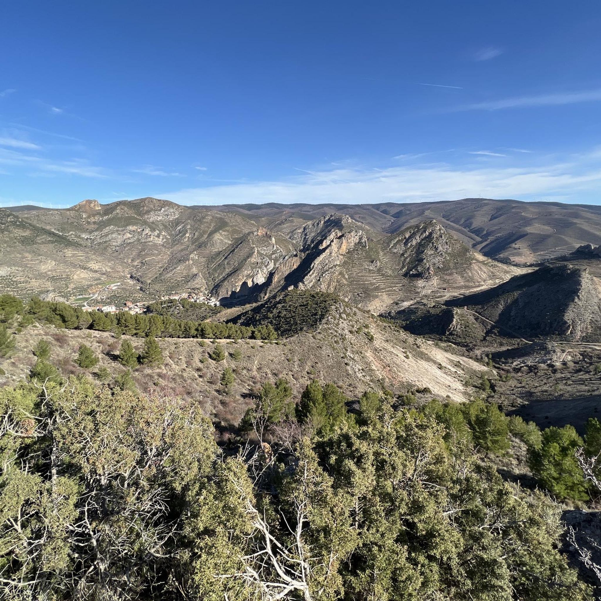
Road Cycling Routes around Arnedillo
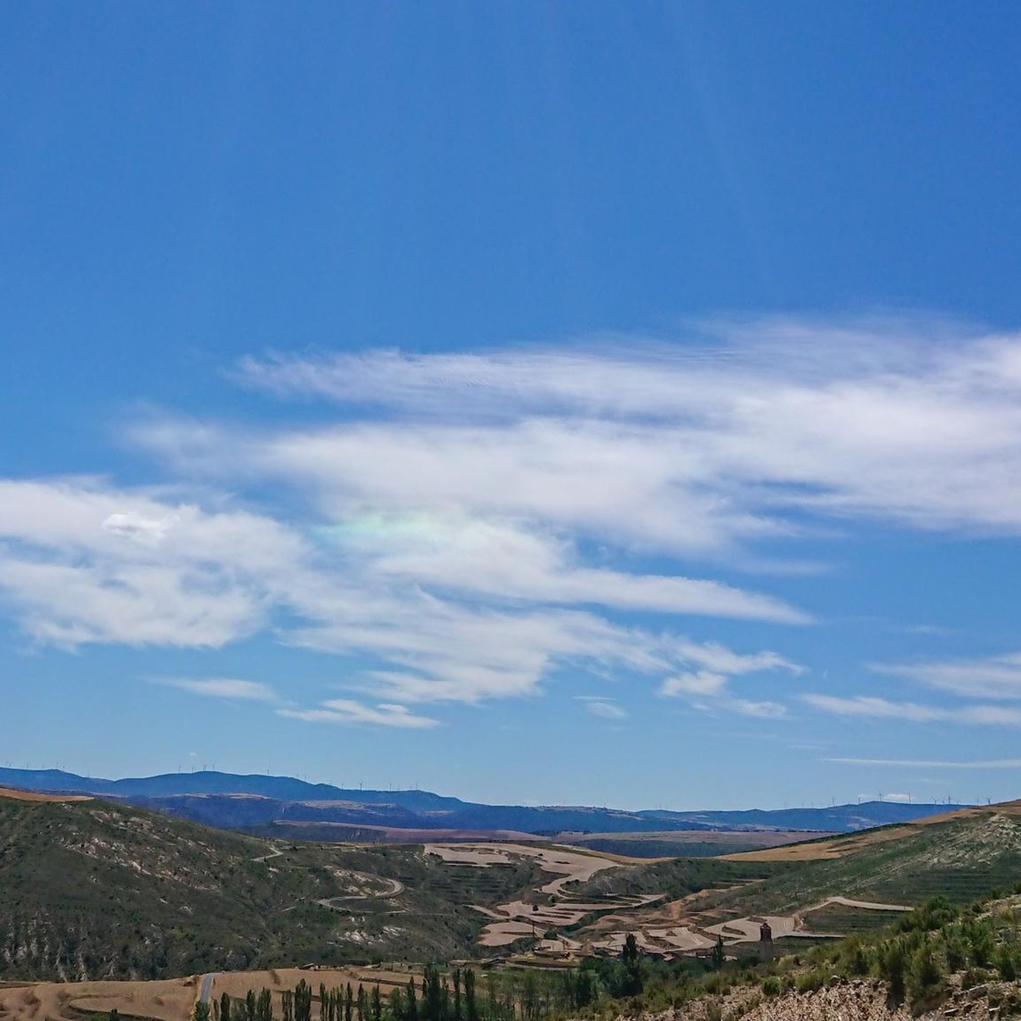
Road Cycling Routes around Navajún
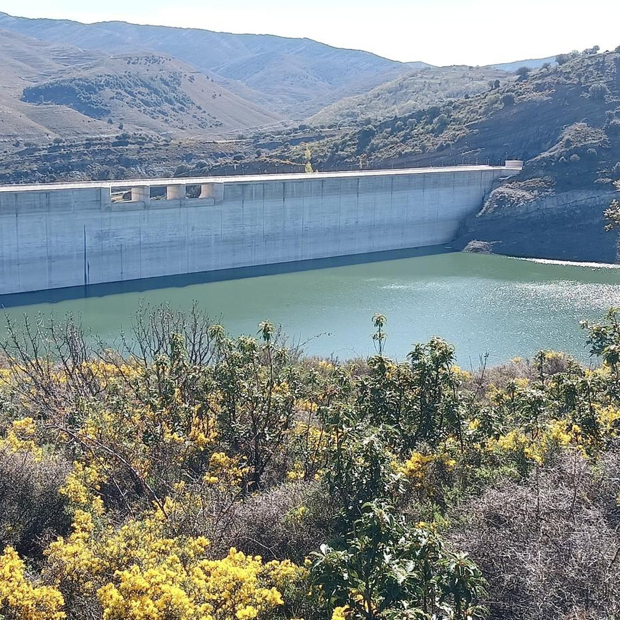
Road Cycling Routes around Enciso
Road Cycling Routes in Peñas De Arnedillo, Peñalmonte Y Peña Isasa
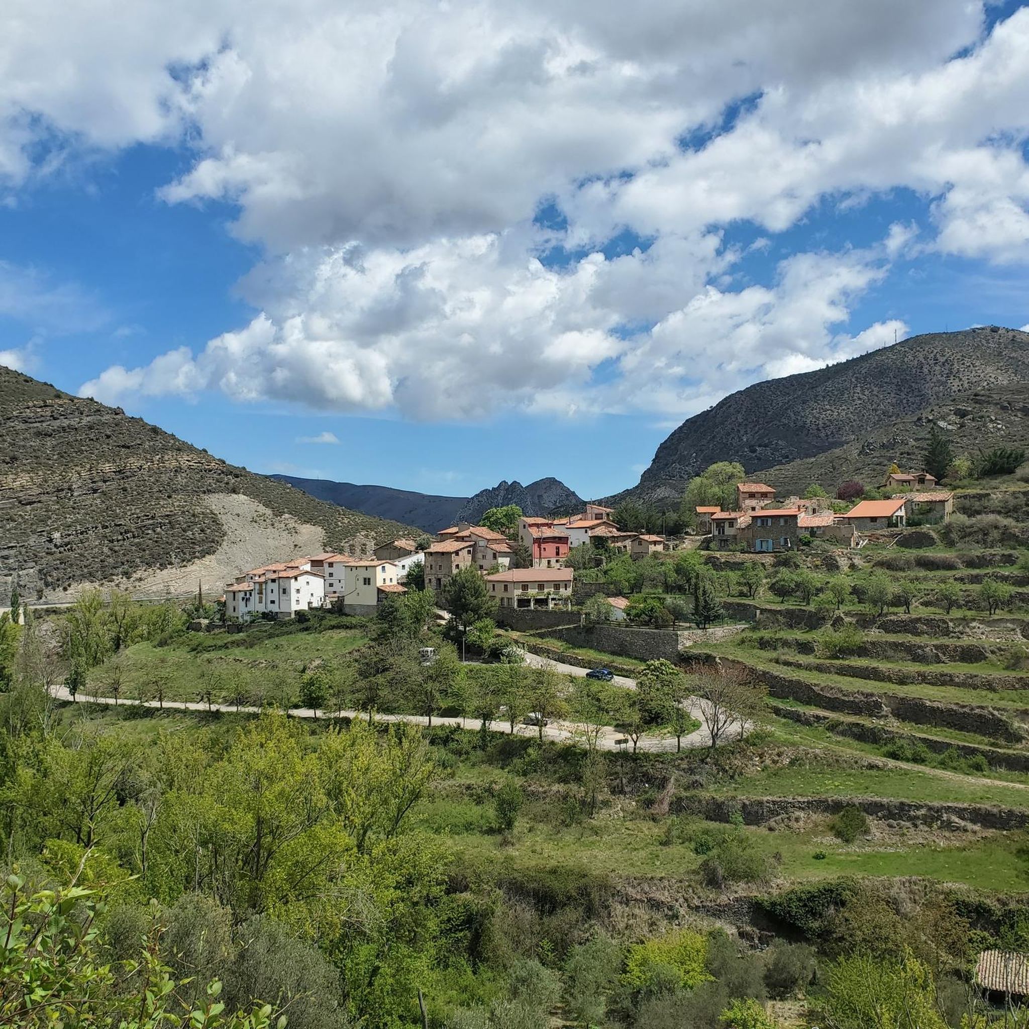
Road Cycling Routes around Munilla
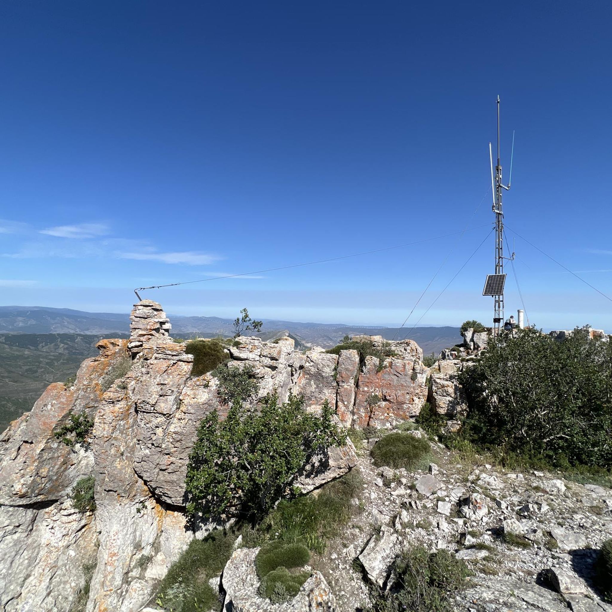
Road Cycling Routes around Muro De Aguas
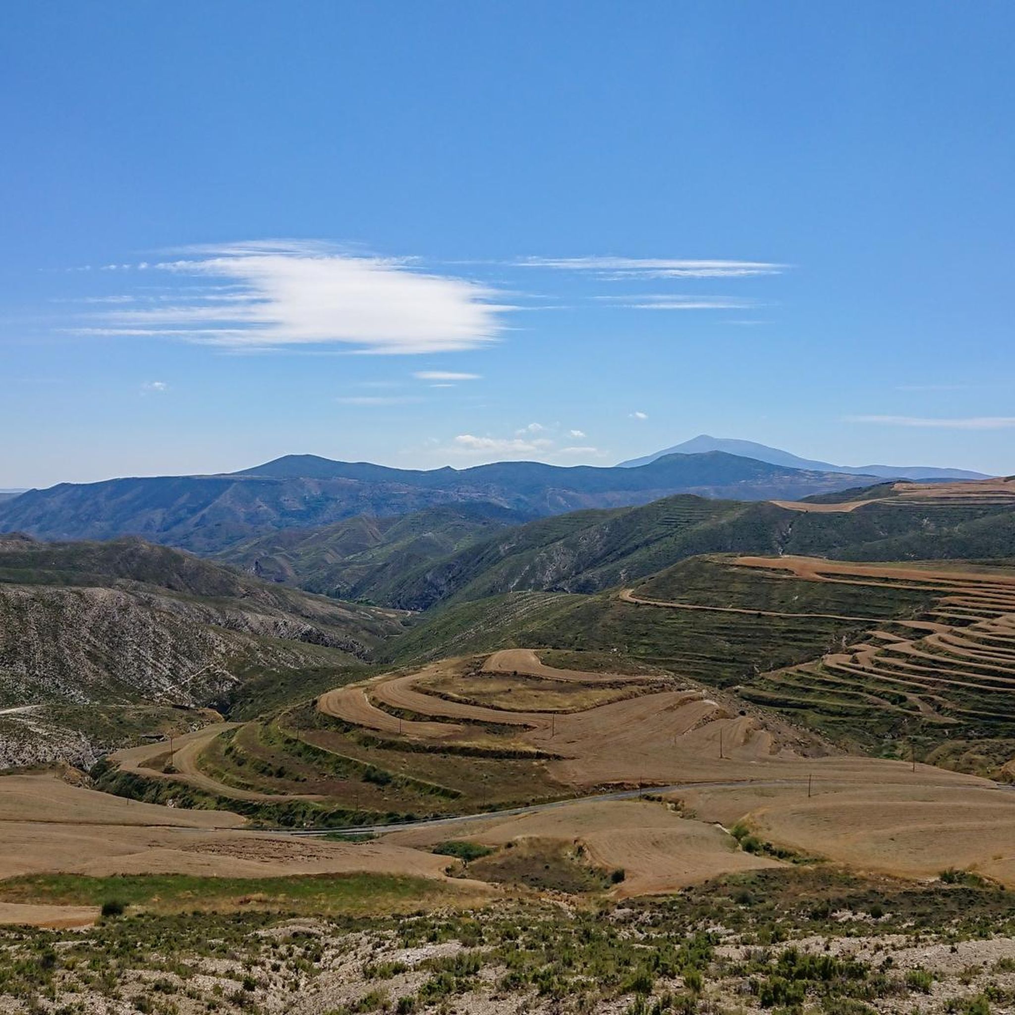
Road Cycling Routes around Valdemadera
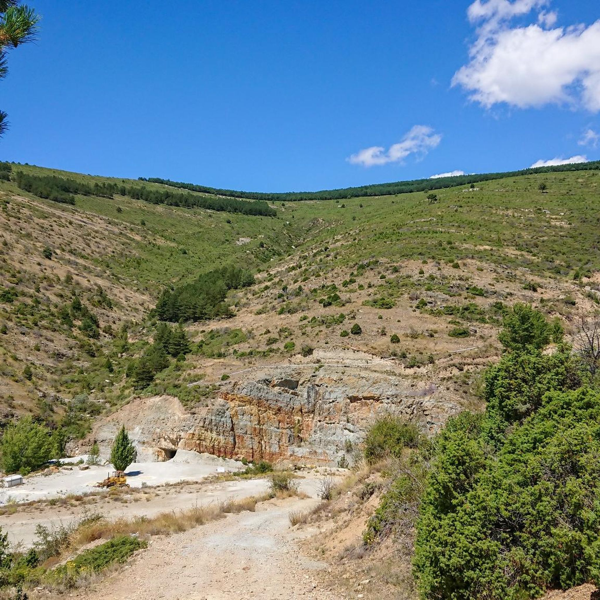
Road Cycling Routes around Cornago
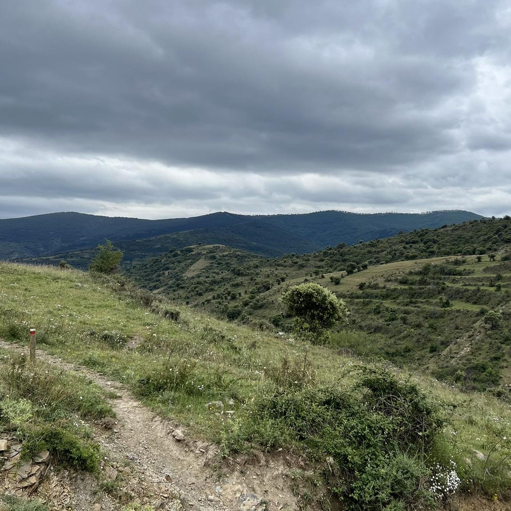
Road Cycling Routes around Zarzosa
Other adventures around Sierra Rioja Baja


Tips from the Community

Fitero stands out for three main reasons: Historical and architectural heritage (its Cistercian monastery), Thermal wellness (a highly regarded spa), and Outstanding natural beauty (Bardenas Reales Natural Park and hiking and biking trails). It also boasts local cuisine and a peaceful, welcoming atmosphere, ideal for getting away from it all. If you're looking for a trip that combines culture, relaxation, and nature in an authentic setting, Fitero is a highly recommended option.
3
0

Beautiful views of the banks of the Cidacos.
0
0

there is a fountain and bar in the square
1
0

Santa Cruz de Yanguas is a municipality in Soria in the Tierras Altas region, community of Castilla y León. During the Middle Ages it was part of the Community of Villa y Tierra de Yanguas. It is located in the Baos River basin, and has important forest and mycological resources. The municipal area is part of the Urbión Regional Reserve, with a large presence of deer, roe deer, wild boar and woodcock. Of its heritage, the Roman bridge that spans the bed of the Baos River, the church of the Santísima Trinidad (16th century) in Gothic style and the hermitage of the Virgen del Pilar stand out. As in the rest of the region, you can find dinosaur footprints (ichnites).
2
0
San Pedro Manrique is a municipality in Soria in the Tierras Altas region, in the community of Castilla y León. Its origin dates back to the Celts, Vascones, Iberians and Romans. With the passage of time, other neighboring towns such as Sarnago, Las Fuentes de San Pedro, Matasejún, Palacio de San Pedro, Taniñe, Valdenegrillos and Ventosa de San Pedro have been incorporated into the municipal area. San Pedro Manrique is well known for his particular way of celebrating San Juan Day. On the night of San Juan the well-known "paso del fuego" is carried out, in which the embers of a bonfire are stepped on by the town's natives, barefoot and carrying someone on their backs. Among its heritage, the hermitage of the Virgen de la Peña, the church of San Miguel, the remains of a castle on the outskirts and the ruins of the convent of San Pedro el Viejo stand out.
0
0

Famous for its Cuevas del Ajedrezado caves, the LR-115 highway passes through Santa Eulalia Somera and Santa Eulalia Bajera with the impressive sheer rock as a guide.
0
0
The L-382 road runs along the gravel route of the Greenway before disappearing into a short tunnel. There is a nice wooden viewpoint over the valley.
0
0

Impressive population that is attached to one of the walls created by the river itself, not only the church but also the houses and the castle. It's worth a stop.
0
0
Frequently Asked Questions
How many road cycling routes are available in Sierra Rioja Baja?
There are over 50 road cycling routes in Sierra Rioja Baja, offering a diverse range of experiences. These include 3 easy routes, 24 moderate routes, and 31 difficult routes, catering to various fitness levels and preferences.
What kind of terrain can I expect on road cycling routes in Sierra Rioja Baja?
Sierra Rioja Baja is characterized by dramatic geological formations, including striking reddish rock landscapes and rugged topography. You'll find routes traversing prominent river valleys like the Cidacos, with unique rock formations such as El Picuezo y la Picueza. The region also features smooth, rounded mountains and dense forests, particularly in areas like Sierra de Cebollera Natural Park, alongside quiet country lanes and well-maintained roads.
Are there road cycling routes suitable for beginners in Sierra Rioja Baja?
Yes, Sierra Rioja Baja offers several routes ideal for beginners. The Arnedo and Préjano via Cidacos Greenway Loop is an easy 13.6-mile (21.9 km) trail, and the Cidacos Greenway itself provides a gentle 7.2-mile (11.6 km) ride, perfect for those seeking minimal elevation gain.
Are there challenging road cycling routes for experienced cyclists in the region?
Absolutely. For experienced cyclists, Sierra Rioja Baja presents numerous challenging routes. The Southern valleys of the Iberian System in La Rioja is a demanding 81.7-mile (131.5 km) route with significant elevation. Another option is the Soria Highlands Loop, a difficult 53.1-mile (85.5 km) path exploring higher elevations with expansive views.
What are some scenic viewpoints or natural attractions I can see along the routes?
The region is known for its breathtaking panoramas. Along your rides, you might encounter unique rock formations like El Picuezo y la Picueza near Arnedo and Autol, or the impressive vertical walls of the Leza River Canyon. The Sierra de Cebollera Natural Park also features stunning natural sights, including waterfalls like Puente Ra. You can explore highlights such as Peña Isasa or the El Barranco Perdido Paleo Adventure Park.
Are there any historical sites or villages to explore while road cycling?
Yes, Sierra Rioja Baja is dotted with historical villages and cultural sites. Many routes pass through or near these villages, offering opportunities to take breaks and explore local heritage. For instance, the Valle del Rio Cidacos and ancient town of Turruncun — circular from Arnedillo takes you through historical sites. You can also visit highlights like Préjano Castle or the ancient excavations of the Caves of the Hundred Pillars.
Are there any circular road cycling routes in Sierra Rioja Baja?
Many of the road cycling routes in Sierra Rioja Baja are circular, allowing you to start and end at the same point. Examples include the popular Valle del Rio Cidacos and ancient town of Turruncun — circular from Arnedillo and the easier Arnedo and Préjano via Cidacos Greenway Loop.
What is the best time of year for road biking in Sierra Rioja Baja?
The region offers pleasant cycling conditions for much of the year. Spring and autumn are generally ideal, with comfortable temperatures and beautiful scenery. Autumn is particularly stunning in areas like Sierra de Cebollera Natural Park, where the forests display a mosaic of warm colors from yellow to red.
What do other road cyclists enjoy most about road cycling in Sierra Rioja Baja?
The area is highly rated by the komoot community, with an average score of 4.4 stars from more than 5 reviews. Nearly 900 road cyclists have used komoot to explore Sierra Rioja Baja's varied terrain. Reviewers often praise the region's diverse landscapes, from dramatic rock formations to quiet country lanes, and the range of routes catering to different abilities.
Are there routes that pass by thermal baths or places to relax after a ride?
Yes, some routes offer opportunities to visit thermal baths. For example, the Enciso – Arnedillo and thermal baths loop from Arnedillo specifically includes the thermal baths of Arnedillo, providing a perfect way to relax and recover after your ride. The town of Arnedillo itself is a notable highlight.
How long do road cycling routes typically take in Sierra Rioja Baja?
Route durations vary significantly based on distance and difficulty. Shorter, easier routes like the Arnedo and Préjano via Cidacos Greenway Loop can be completed in about 1 hour. More challenging and longer routes, such as the Southern valleys of the Iberian System in La Rioja, can take over 6 hours.
Are there road cycling routes that offer views of castles or ancient structures?
Yes, the region's rich history means you can often combine cycling with historical sightseeing. The route The ascent San Felices from Aguilar del Río Alhama — circular by al Castillo de Magaña de Los offers views towards Castillo de Magaña. Additionally, Préjano Castle is a notable landmark that can be seen or visited along certain routes.
Most popular routes around Sierra Rioja Baja
Most popular attractions around Sierra Rioja Baja

Get inspired with the komoot mobile app


Didn’t find what you were looking for?
Check out more Road cycling routes throughout Sierra Rioja Baja below and find the perfect route in your destination.
Explore more
Browse the best Road cycling routes in other regions.
