The best walks and hikes around Añanako kuadrilla/Cuadrilla de Añana
4.5
(1611)
10,880
hikers
146
hikes
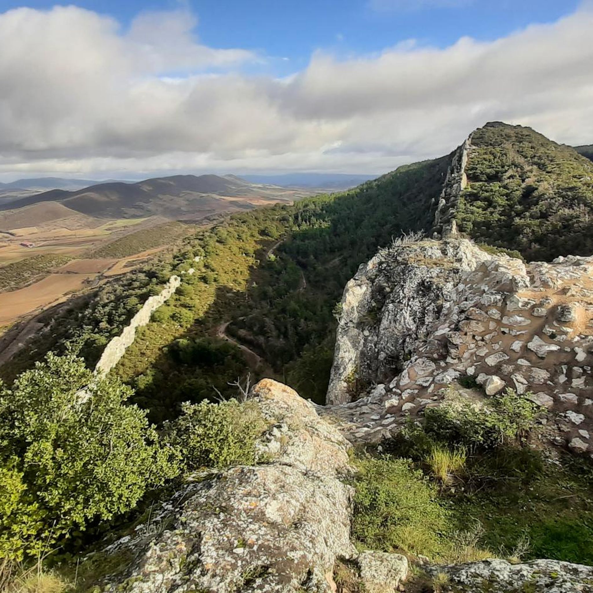
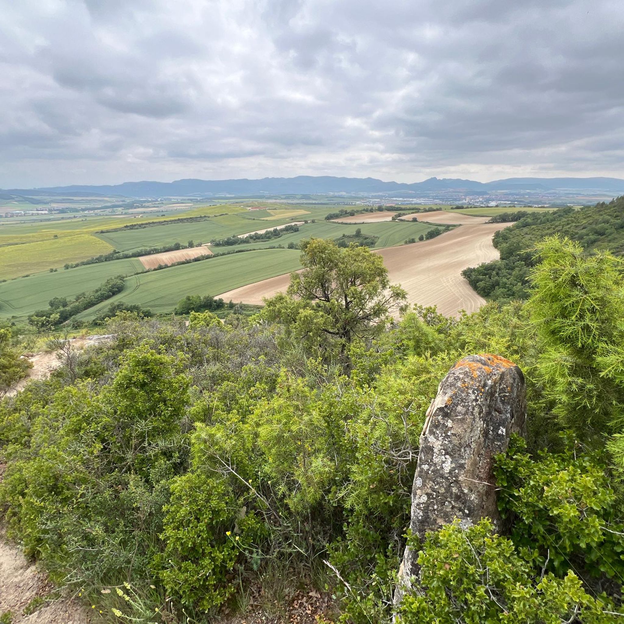
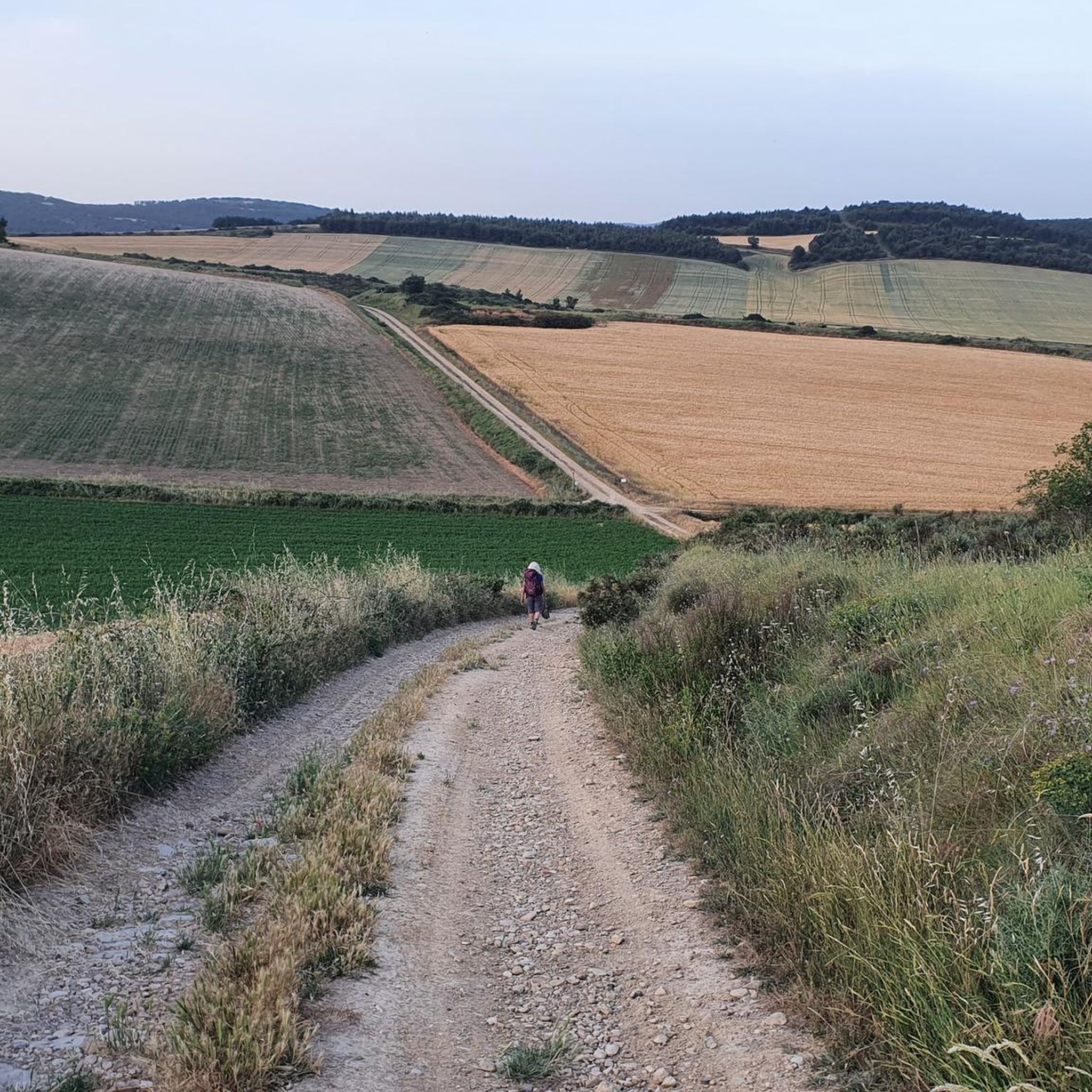
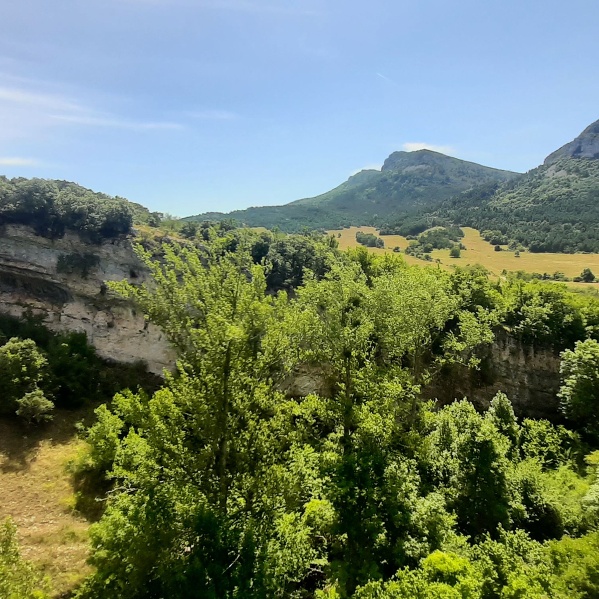
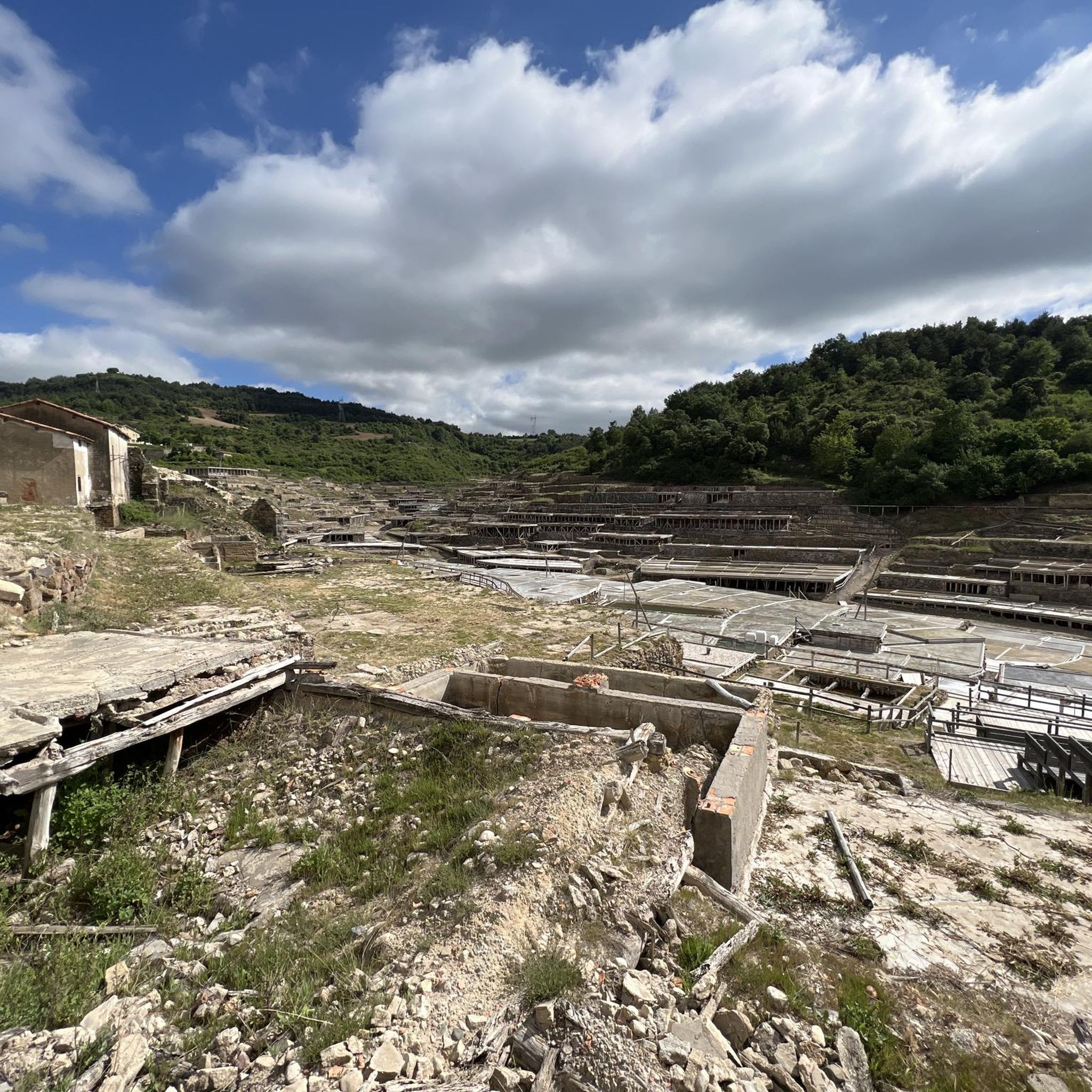
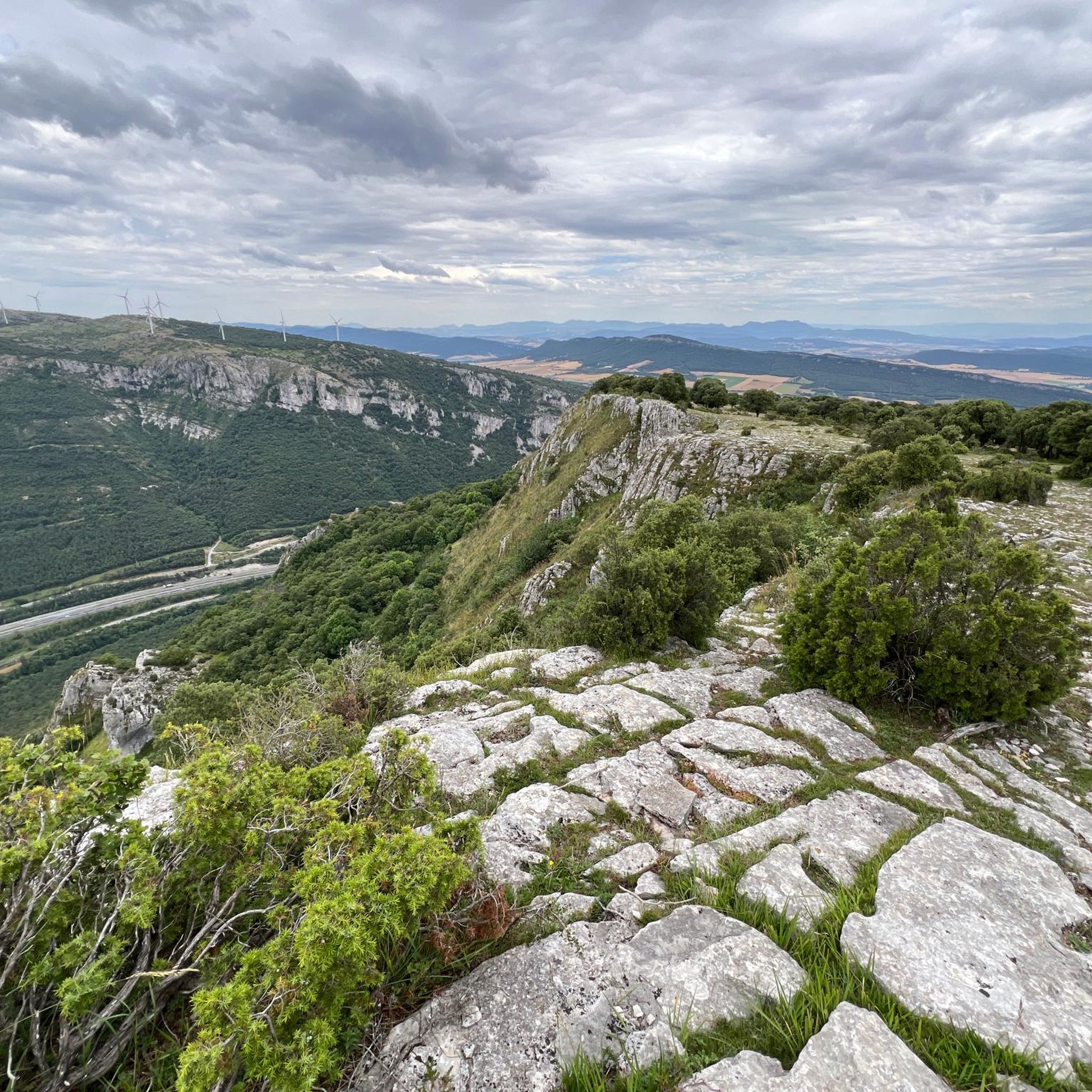
Hiking trails around Añanako kuadrilla/Cuadrilla de Añana traverse a region characterized by a unique blend of cultural landscapes and diverse natural features. The area features the ancient salt evaporation terraces of Valle Salado de Añana, alongside the rugged terrain of Valderejo Natural Park with its cliffs and forests. A mosaic of valleys, rivers, and mountains defines the topography, offering varied environments for exploration.
Best hiking trails around Añanako kuadrilla/Cuadrilla de Añana
- The most popular hiking route is Berganzo Water Trail…
Last updated: July 7, 2026
4.7
(75)
425
hikers
8.51km
02:26
200m
210m
Hike the moderate 5.3-mile Water route of the Inglares river - circular Berganzo, featuring waterfalls and river views.
4.7
(16)
49
hikers
13.9km
04:21
520m
520m
Hike the moderate 8.6-mile Purón River Gorge and Santa Ana Trail, a circular route through Valderejo Natural Park with river views and a sum

Sign up for free
4.7
(10)
43
hikers
Moderate hike. Good fitness required. Easily-accessible paths. Suitable for all skill levels.
4.1
(9)
27
hikers
Moderate hike. Good fitness required. Mostly accessible paths. Sure-footedness required.
5.0
(1)
12
hikers
16.3km
04:41
390m
390m
Hike a moderate 10.1-mile (16.3 km) circular route through Valderejo Natural Park, featuring diverse forests, river views, and panoramic vis
4
hikers
10.5km
03:31
460m
460m
Moderate hike. Good fitness required. Mostly accessible paths. Sure-footedness required.
5
hikers
15.6km
04:56
610m
610m
Hike the challenging 9.7-mile (15.6 km) Repico, Coronas y Riscomalo circular route for panoramic views in Sierra de Arkamu.
5
hikers
11.6km
03:21
310m
310m
Hike the moderate 7.2-mile Ermita de San Formerio y Peña Palacios circular route from Armiñón, featuring historic sites and panoramic views.
3
hikers
16.3km
05:17
720m
720m
Hike the challenging 10.1-mile Cantoblanco circular trail through the unique Protected Biotope of Diapiro de Añana and its historic Salt Val
4.8
(21)
111
hikers
11.7km
03:22
270m
270m
Moderate hike. Good fitness required. Easily-accessible paths. Suitable for all skill levels.
Get access to more routes and recommendations from other explorers.
Sign up for free
Already have an account?
Our route recommendations are based on thousands of hikes, rides, and runs completed by other people on komoot.
Start today with a free account
Your next adventure awaits.
Login or Signup
Popular around Añanako kuadrilla/Cuadrilla de Añana
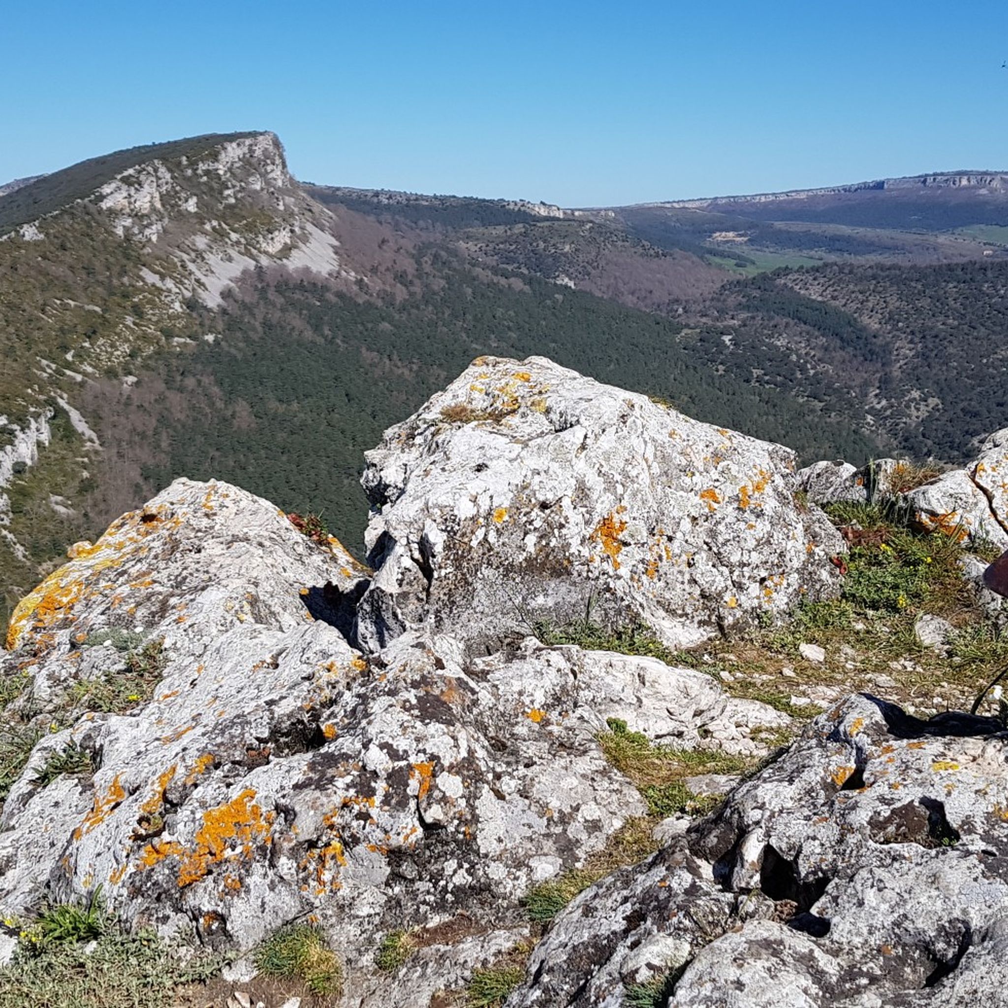
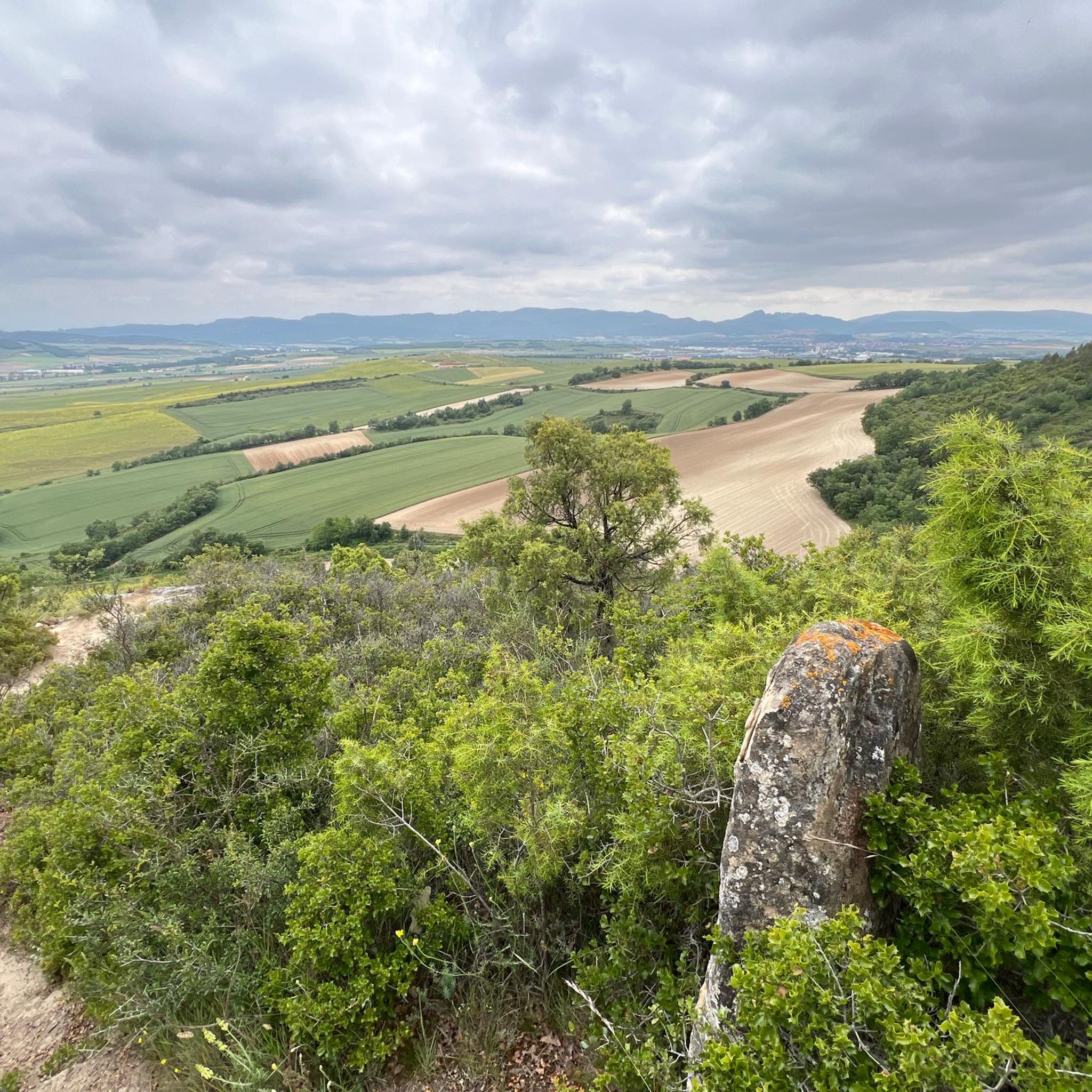
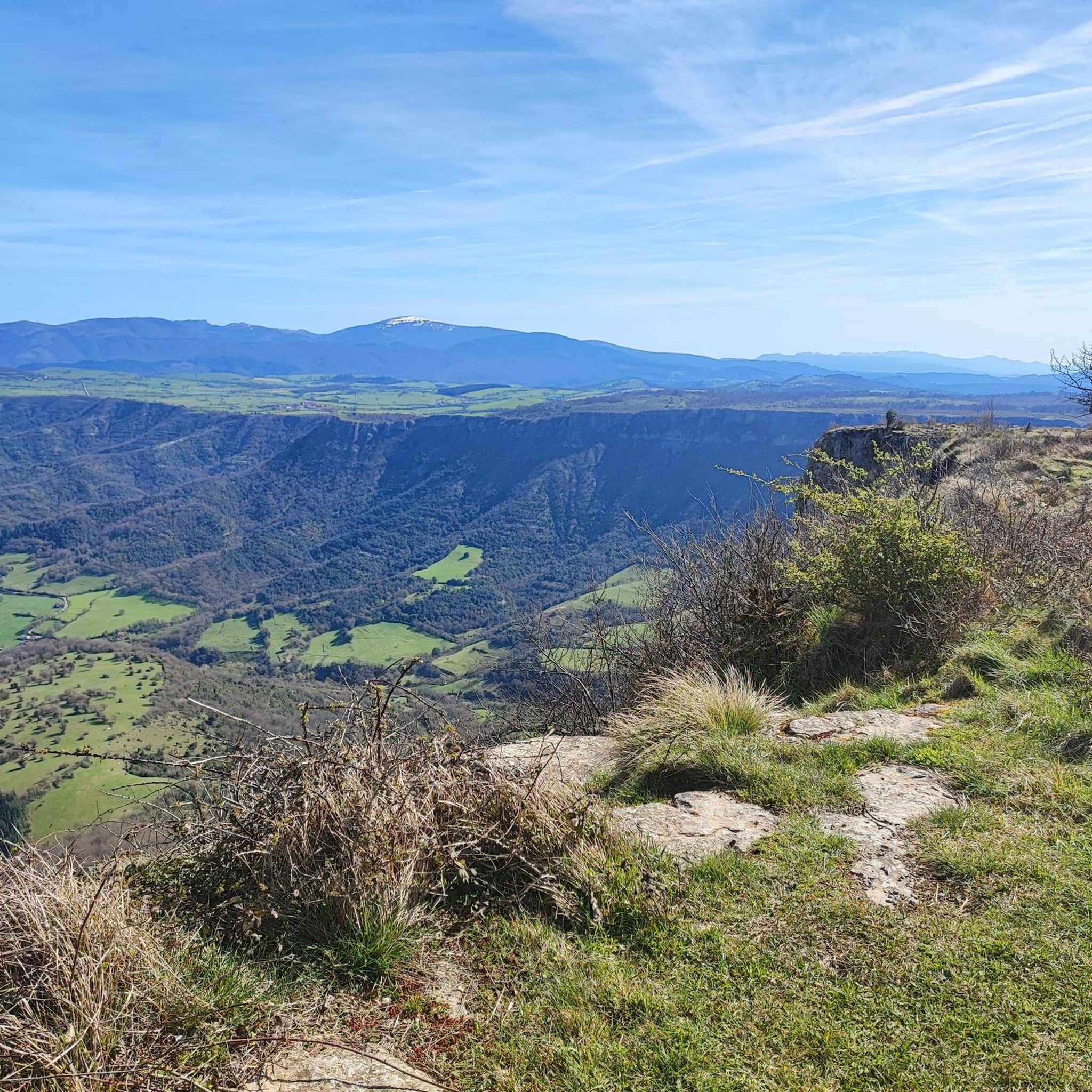
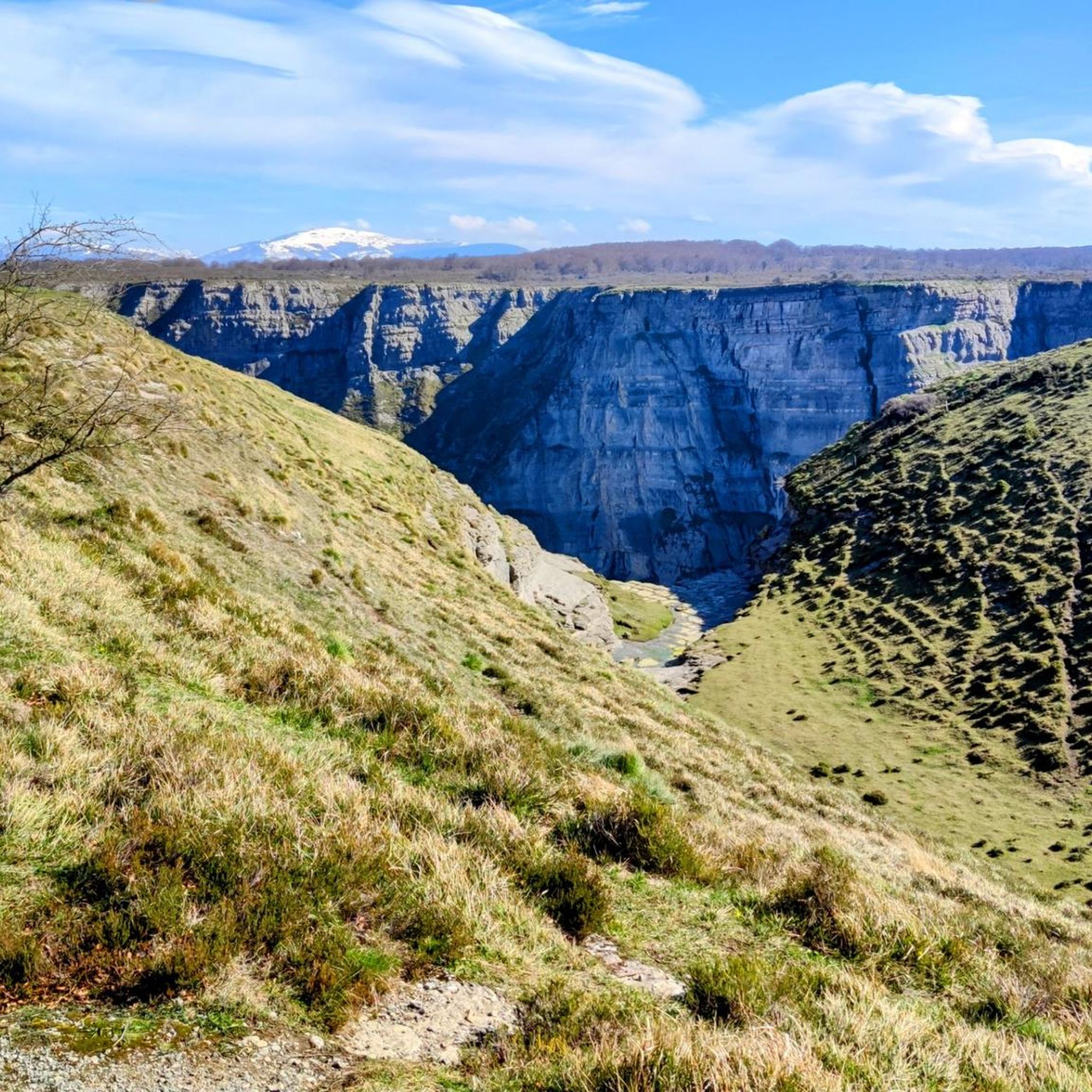
Other adventures around Añanako kuadrilla/Cuadrilla de Añana

Tips from the Community

Recently restored, its tower is now accessible. A wonderful place with stunning views.
1
0
It's a pleasure to stroll through what used to be its old streets.
1
0

Beautiful river walk with small waterfalls.
1
0
The mailbox is right on a rock next to the chapel. The summit is just a few meters away.
0
0
Great views of the San Formerio hermitage.
0
0
It's a pleasure to walk through these hills.
3
0
Frequently Asked Questions
What unique natural features can I expect to see while hiking in Añanako kuadrilla/Cuadrilla de Añana?
The region is renowned for its extraordinary Valle Salado de Añana, an ancient cultural landscape where salt has been harvested for over 7,000 years. You can hike among thousands of staggered salt evaporation terraces, creating a dazzling white mosaic. Additionally, the area features the rugged terrain of Valderejo Natural Park with its dramatic cliffs and lush forests, and picturesque river valleys like the Inglares.
What are the difficulty levels of hiking trails in Añanako kuadrilla/Cuadrilla de Añana?
Añanako kuadrilla/Cuadrilla de Añana offers a wide range of trails suitable for various fitness levels. You'll find 29 easy routes for leisurely strolls, 91 moderate trails for more engaging excursions, and 27 difficult routes for experienced hikers seeking a challenge. This diversity ensures there's a path for everyone.
Are there family-friendly hiking options in Añanako kuadrilla/Cuadrilla de Añana?
Yes, the region has several trails suitable for families. For instance, the Berganzo Water Trail is a moderate 8.5 km route that follows the Inglares River, offering a pleasant experience for families. Many of the easier routes are also ideal for walks with children.
Can I bring my dog on the hiking trails in Añanako kuadrilla/Cuadrilla de Añana?
Many trails in Añanako kuadrilla/Cuadrilla de Añana are dog-friendly, allowing you to explore with your canine companion. It's always recommended to keep your dog on a leash, especially in natural parks like Valderejo, to protect wildlife and ensure a pleasant experience for all hikers. Please check specific trail regulations before you go.
When is the best time of year to go hiking in Añanako kuadrilla/Cuadrilla de Añana?
The region is beautiful throughout the year, but spring and autumn generally offer the most pleasant hiking conditions with mild temperatures and vibrant landscapes. Spring brings blooming flora, while autumn showcases stunning fall colors. Summer can be warm, especially in open areas, so early morning or late afternoon hikes are often preferred. Winter hiking is possible, but some higher or more exposed trails might require appropriate gear due to colder temperatures.
What can I see along the hiking trails in Añanako kuadrilla/Cuadrilla de Añana?
Beyond the unique salt valley, hikers can explore diverse landscapes. You might encounter charming traditional Basque villages like Berganzo Village, dramatic features like the Purón River Gorge, and scenic viewpoints such as the Ganalto Summit Cross. The region also features rivers like the Inglares and various waterfalls, including those along the Water Route or the Nervión River.
Are there any circular hiking routes available in Añanako kuadrilla/Cuadrilla de Añana?
Yes, there are several excellent circular routes. For example, the Valle Rio Puron - via the Portillo de Leron — circular Valderejo Natural Park offers a 12.2 km loop through the natural park. Another option is the San Formerio Hermitage and Peña Palacios Loop, which is a moderate 11.5 km trail.
What do other hikers enjoy the most about hiking in Añanako kuadrilla/Cuadrilla de Añana?
The area is highly rated by the komoot community, with an average score of 4.6 stars from over 500 reviews. Hikers often praise the unique landscapes, particularly the Valle Salado, the diverse terrain of Valderejo Natural Park, and the well-maintained trails that offer a blend of natural beauty and cultural heritage.
Are there any trails that feature waterfalls in Añanako kuadrilla/Cuadrilla de Añana?
Yes, the region offers opportunities to see waterfalls. The Water Route is known for its aquatic features, and you can find waterfalls along the Nervión River, which are particularly stunning after rainfall. The Waterfall in Sierras Meridionales de Álava is another notable spot.
Are there any longer, more challenging routes for experienced hikers?
For experienced hikers seeking a challenge, routes like the Cantoblanco Loop from Salinas de Añana offer a difficult 16.3 km journey with significant elevation gain. Another challenging option is the Repico, Coronas, and Risco Malo Summit Loop, a 15.6 km moderate-to-difficult trail with over 600 meters of ascent.
What kind of wildlife can I observe while hiking in the region?
The diverse ecosystems of Añanako kuadrilla/Cuadrilla de Añana support varied wildlife. In Valderejo Natural Park, you might spot griffon vultures soaring above the cliffs. The saline environment of Valle Salado de Añana is home to unique halophilic plants and fauna, including *Arthemia Parthnogenetica*, making it a site of international importance for biodiversity.
Are there any trails that explore the lakes in the area?
Yes, you can explore the natural lakes in the region. The Lago Caicedo from Salinas de Añana trail is a moderate 9.5 km route that takes you to the ZEC Lago de Caicedo Yuso y Arreo, and the protected biotop of Diapiro de Añana, offering beautiful lakeside views.
Most popular routes around Añanako kuadrilla/Cuadrilla de Añana
Most popular attractions around Añanako kuadrilla/Cuadrilla de Añana

Get inspired with the komoot mobile app


Didn’t find what you were looking for?
Check out more Hikes throughout Añanako kuadrilla/Cuadrilla de Añana below and find the perfect route in your destination.
Explore more
Browse the best Hikes in other regions.
