The best walks and hikes around Lozoya Somosierra
4.6
(2692)
16,621
hikers
680
hikes
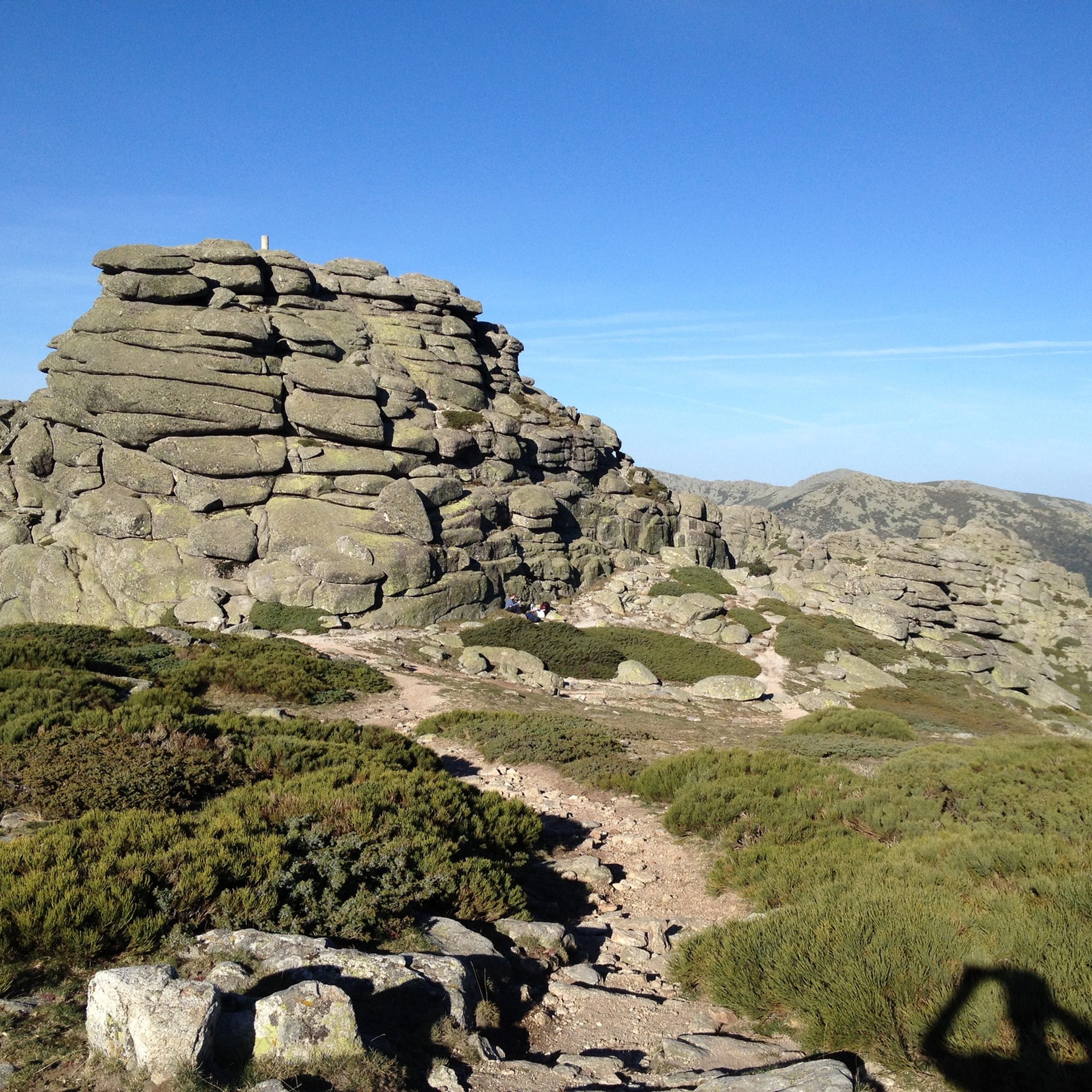
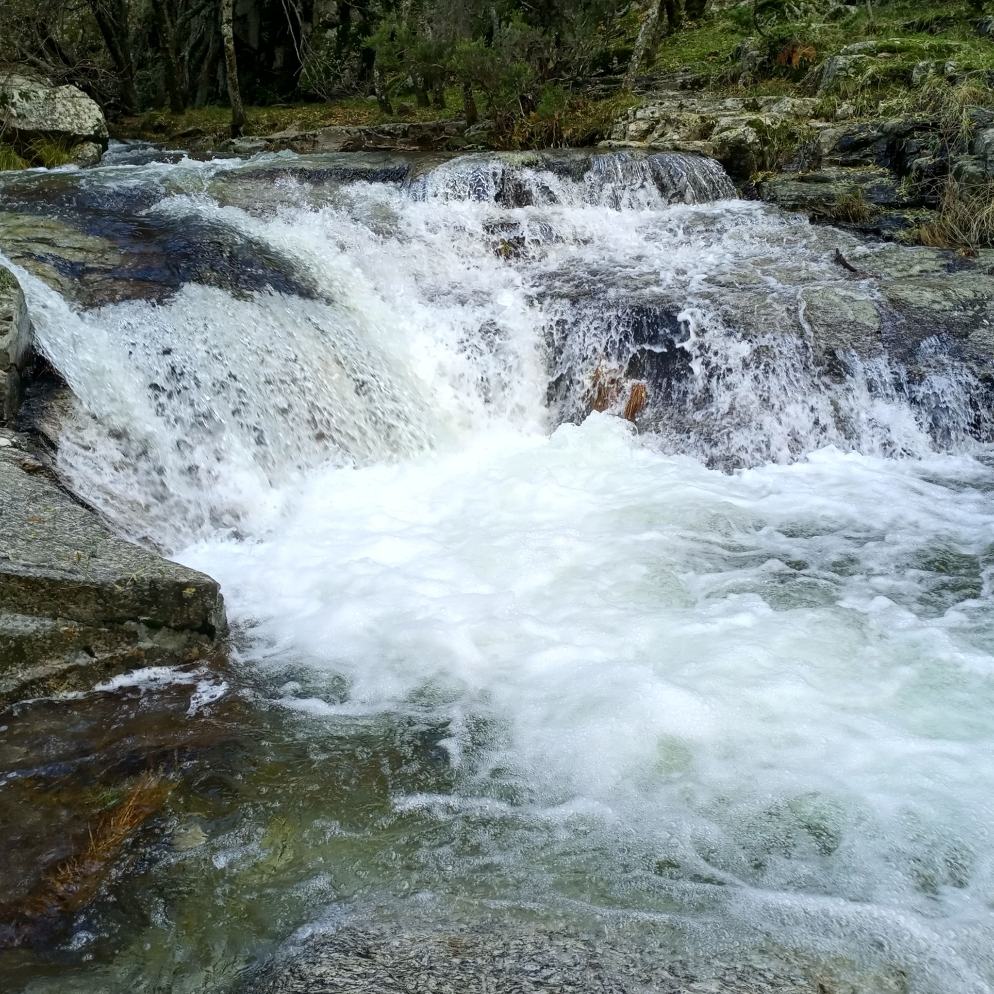
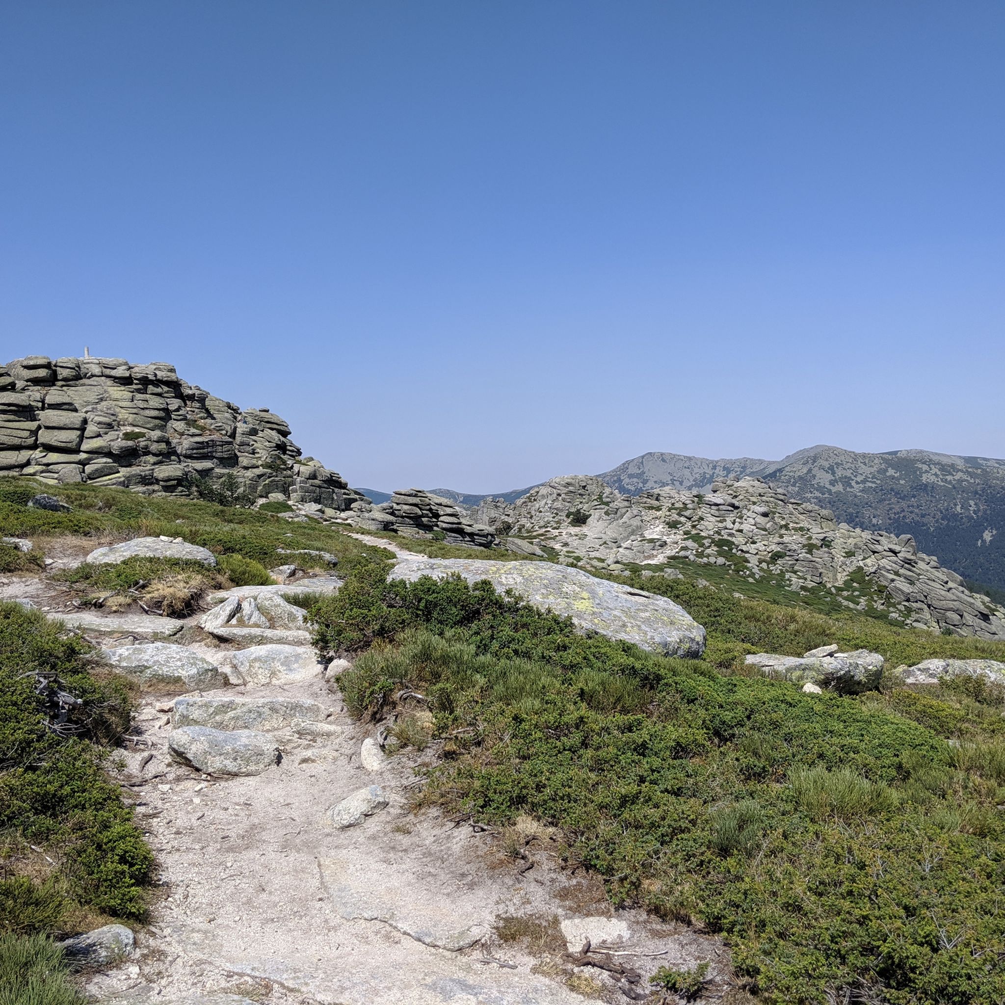
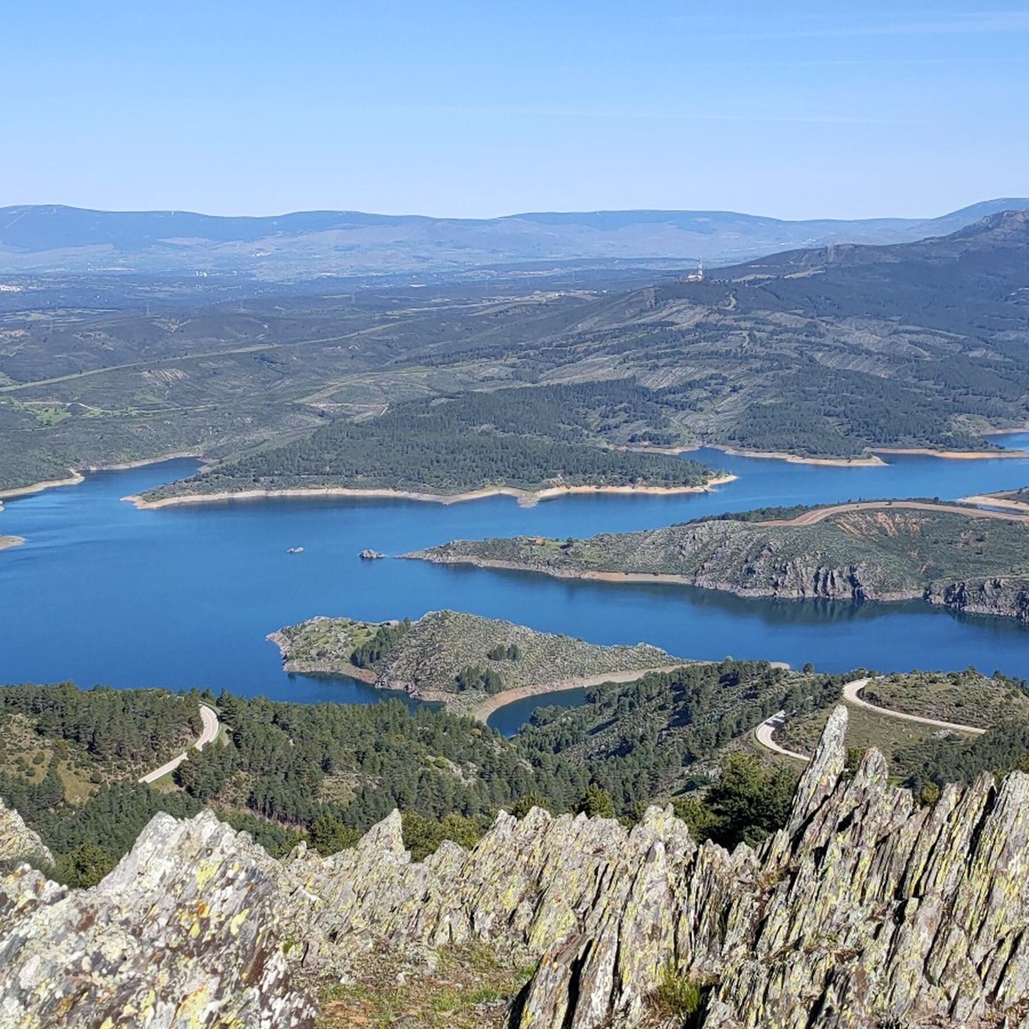
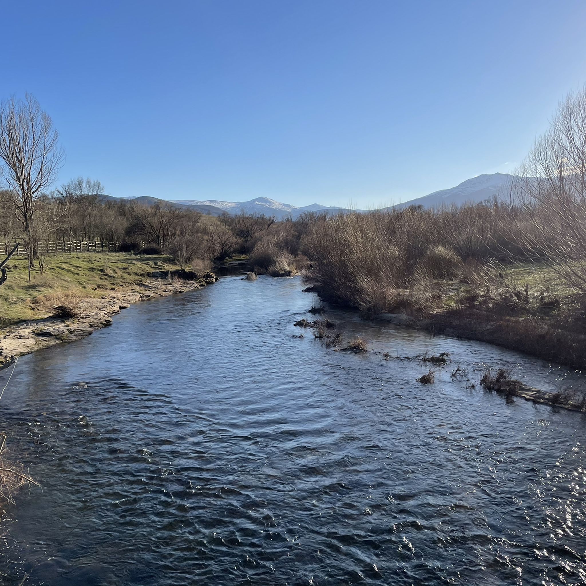
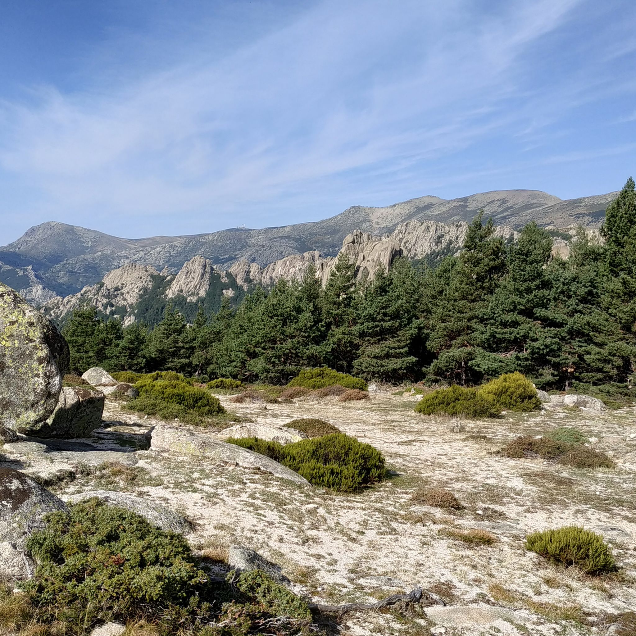
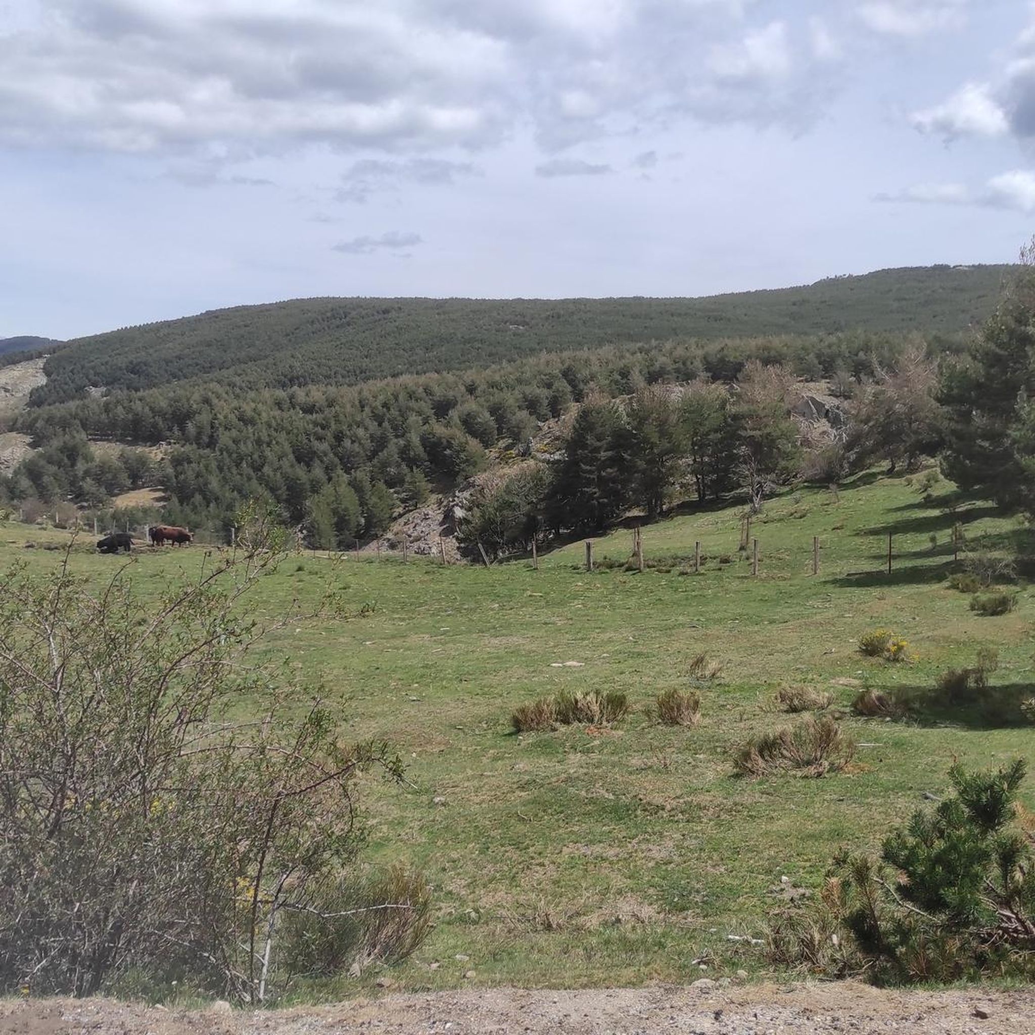
Hiking trails around Lozoya Somosierra traverse a diverse landscape in the northern Comunidad de Madrid, characterized by the Sierra de Guadarrama and Sierra de Somosierra mountain ranges. The terrain features granite rock formations, extensive pine forests, high mountain grasslands, and significant peaks like Peñalara. Rivers such as the Lozoya, Jarama, and Guadalix flow through the region, creating features like "marmitas de gigante" and waterfalls.
Best hiking trails in Lozoya Somosierra
- The most popular hiking route is Peñalara Circular Trail,…
Last updated: July 10, 2026
4.8
(151)
1,032
hikers
12.9km
05:12
580m
580m
The Peñalara Circular Trail is one of those routes that challenges and rewards in equal measure. This difficult 8.0-mile (12.9 km) hike, with an elevation gain of 1910 feet (582…
4.1
(47)
244
hikers
14.4km
04:04
290m
300m
Hike the moderate 9.0-mile Hervidero Waterfall and El Mesto Canal Trail, featuring a scenic waterfall and historic canal near San Agustín de

Sign up for free
4.8
(60)
354
hikers
10.2km
03:11
400m
400m
Hike the Cancho de la Cabeza via Arroyo de Patones Trail for panoramic views of the Atazar reservoir and the charming village of Patones de
4.8
(32)
94
hikers
13.8km
04:06
290m
290m
Moderate hike. Good fitness required. Mostly accessible paths. Sure-footedness required.
4.6
(41)
358
hikers
4.39km
01:45
350m
350m
Hike the Cerro de San Pedro — round trip via Cerro de la Prestancia, a moderate 2.7-mile route with 1134 feet of elevation gain and panorami
4.7
(47)
273
hikers
7.19km
02:19
220m
220m
Moderate hike. Good fitness required. Mostly accessible paths. Sure-footedness required.
4.2
(29)
126
hikers
11.4km
03:34
400m
410m
Hike the moderate 7.1-mile Sestil del Maíllo Stream and Mojonavalle Slope Trail to see a waterfall and rare birch forest.
4.8
(14)
84
hikers
Moderate hike. Good fitness required. Mostly accessible paths. Sure-footedness required.
4.7
(11)
54
hikers
9.35km
03:45
450m
450m
Hike the moderate 5.8-mile Peñalara Circuit via Laguna Grande in Sierra de Guadarrama, featuring a glacial lake and panoramic views.
4.3
(19)
79
hikers
14.8km
04:38
570m
570m
Hike the Carcavas del Monte Guadarrama circular route from Ponton de la Oliva, exploring unique geological formations and scenic valley view
Get access to more routes and recommendations from other explorers.
Sign up for free
Already have an account?
Our route recommendations are based on thousands of hikes, rides, and runs completed by other people on komoot.
Start today with a free account
Your next adventure awaits.
Login or Signup
Popular around Lozoya Somosierra
Other adventures around Lozoya Somosierra


Tips from the Community

The Hervidero Waterfall is a double waterfall on the Guadalix River, nestled in a rocky canyon and surrounded by riverside vegetation. It can be reached via a flat and easy 7 km (round trip) route starting from San Agustín del Guadalix, ideal for family hikes.
4
0

This large pine forest is located within the municipality of Canencia and is easily accessible via forest tracks from the Canencia Pass, coming from the south (Miraflores de la Sierra and Madrid) or from the north (Canencia in the Lozoya Valley). It can also be reached via a longer approach from the M-611 road through the Collado del Hontanar pass (1,731 m).
1
0
The waterfall is tall and very beautiful; it's best visited after a period of heavy rain or when there's snow in the area. It's located within the municipality of Canencia and is easily accessible via forest tracks from the Canencia Pass, coming from the south (Miraflores de la Sierra and Madrid) or from the north (Canencia in the Lozoya Valley). A longer approach is also possible from the M-611 via the Collado del Hontanar pass (1,731 m). If you approach the waterfall from its eastern side, be very careful of slipping, as it could be fatal. The ground is often wet and even icy in autumn and winter.
0
0
The traverse between Peñalara and Claveles, or vice versa, requires skill and good footwear. Wet rock, and especially snow or ice, can make it much more difficult. Roped up is advisable in the worst conditions.
0
0


The **Centennial Yew of Canencia** is a unique tree of great botanical and landscape value in the Sierra de Guadarrama, in the Community of Madrid. It is not just a specimen, but part of a small population of yews that has survived in an exceptional setting, the Canencia Birch Forest. ### Characteristics and Location * **Species:** *Taxus baccata* (common yew). * **Age:** The most notable specimen is estimated to be between **400 and 500 years old**. Its longevity is one of the most fascinating characteristics of this species. * **Dimensions:** It has a trunk of considerable girth (around 4.10 meters) and a wide crown about 15 meters in diameter, which demonstrates its advanced age and health. * **Location:** It is located in the **Canencia Birch Forest** area, very close to the Canencia Pass. It is often included in the popular hiking trail known as "The Birch Forest Path" or the "Mojonavalle Waterfall Path." It is located near the Sestil del Maíllo stream. * **Environment:** The yew coexists with other unique species such as birch, holly, and Scots pines. This humid and protected microclimate has allowed the survival of these trees, which are relics of colder, wetter times. ### Importance and Uniqueness * **Botanical Value:** Yews are extremely slow-growing trees and are considered almost immortal. In Spain, they are a protected species, and finding such ancient specimens is a rarity. * **Landscape Value:** The Canencia yew stands out for its majestic appearance in the midst of a very picturesque forest, attracting numerous hikers and nature lovers. * **History and legend:** Like many ancient yew trees, it is steeped in legend. In many European cultures, they were considered sacred trees for their longevity and the toxicity of their parts (except for the pulp of their fruit). ### Access and routes To visit the yew, the most common route is the **Birch Forest Path**, which starts from the Canencia Pass itself. The path is signposted. You walk along a forest track to a detour that leads directly to the Chorrera de Mojonavalle, and a little further on, you will find the yew tree. Despite its age, the tree is increasingly visible and accessible, but it is essential to be respectful and not damage its surroundings to preserve this natural monument.
0
0
Laguna Grande de Peñalara is the largest glacial lagoon in the Sierra de Guadarrama, located at an altitude of 2,017 meters in the National Park. Origin: Glacier, formed about 40,000 years ago. Size: 5,779 m² in surface area and 4.8 m in maximum depth. Water: Crystal-clear, very pure, and cold, it remains frozen for about 4 months a year. Fauna: Home to the pygmy newt and the long-tailed salamander, and a refuge for migratory birds such as the Spanish imperial eagle and the black vulture. Flora: Surrounded by alpine vegetation. Importance: High-mountain ecosystem of great ecological value. Included in the Ramsar List of Wetlands of International Importance. Maximum protection zone within the National Park. Restrictions: Limited access in some areas for protection. * Swimming, camping outside of designated areas, and leaving trails are prohibited. * Specific regulations apply to pets and drones.
0
0
Frequently Asked Questions
How many hiking trails are there in Lozoya Somosierra?
Lozoya Somosierra offers a vast network of nearly 700 hiking trails. These routes cater to various preferences, ranging from easy strolls to challenging mountain ascents, ensuring there's something for every hiker.
What types of terrain can I expect on the hiking trails?
The region features diverse terrain, including majestic granite rock formations, extensive pine forests, high mountain grasslands, and vast rock fields, especially in the Sierra de Guadarrama. You'll also find varied woodlands with oak, birch, beech, holly, and yew trees, as well as picturesque river valleys carved by the Lozoya, Jarama, and Guadalix rivers.
Are there any trails with waterfalls in Lozoya Somosierra?
Yes, Lozoya Somosierra is home to several beautiful waterfalls. You can explore routes like the Hervidero Waterfall and El Mesto Canal Trail, which leads through forests and alongside water features. Another option is The Purgatory Waterfall from the Monastery of Santa Maria de El Paular, offering a scenic journey to a notable cascade. The Sestil del Maíllo Stream also features waterfalls.
Are there any circular hiking routes available?
Yes, many trails in Lozoya Somosierra are circular, allowing you to start and end at the same point. Notable circular routes include the challenging Peñalara Circular Trail, which offers panoramic mountain views. For a moderate option, consider Sestil del Maillo and the slope of Mojonavalle — circular, or the Cárcavas de Valdepeñas de la Sierra Loop.
What are some family-friendly hiking options in the area?
Lozoya Somosierra offers many paths suitable for all skill levels, including shorter excursions perfect for families with children. While specific family-designated routes are not listed, look for trails marked as 'easy' or 'moderate' with shorter distances, such as the Cerro de San Pedro Trail, which is a moderate 4.4 km route.
What historical or cultural landmarks can I see while hiking?
The region is rich in history. You can incorporate visits to places like Buitrago de Lozoya, which features Moorish fortifications and the well-preserved Castillo de los Mendoza. The historic Puente Congosto, a medieval stone bridge, is another point of interest along the Lozoya Valley Nature Trail. The Hervidero Waterfall is also a popular natural landmark.
Are there any high mountain peaks or viewpoints to reach?
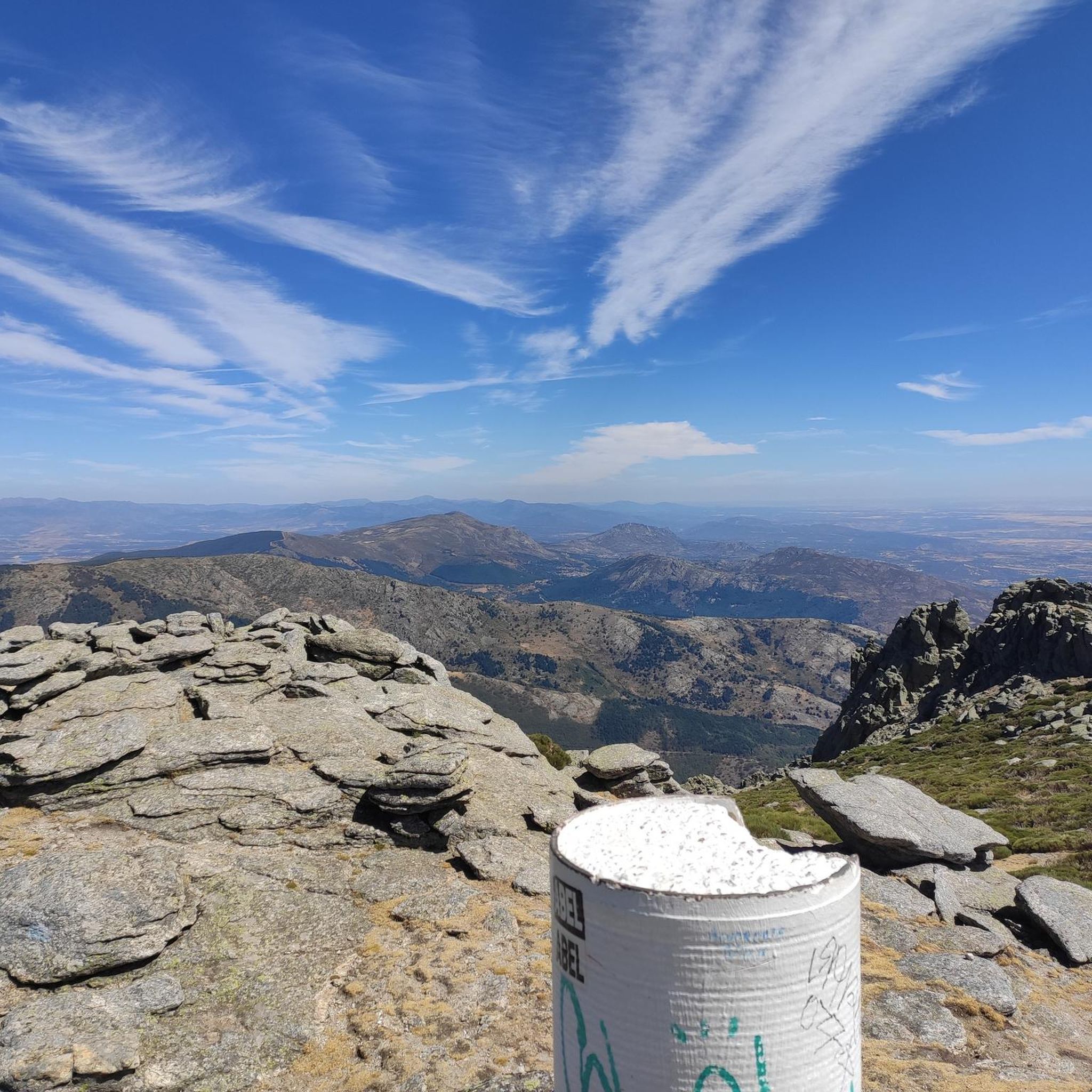
Yes, the Sierra de Guadarrama features significant peaks, including Peñalara Peak at 2,428 meters, offering dramatic scenery and challenging opportunities. Routes like the Peñalara Circuit via Laguna Grande provide panoramic views. You can also find excellent vistas from highlights like the Views of the Lozoya River and the Vultures' Viewpoint.
What do other hikers enjoy most about Lozoya Somosierra?
The hiking trails in Lozoya Somosierra are highly rated by the komoot community, with an average score of 4.6 stars from over 2,300 reviews. Hikers frequently praise the diverse landscapes, from majestic mountains and dense forests to picturesque rivers and waterfalls. The variety of routes catering to all skill levels is also a highlight for many.
What is the best time of year to go hiking in Lozoya Somosierra?
The region offers hiking opportunities throughout the year, but the best time depends on your preference. Spring and autumn provide pleasant temperatures and vibrant natural colors. Summer is ideal for higher altitude trails, while winter offers unique snowy landscapes, though some routes may require specific gear or experience due to snow and ice.
Are there trails suitable for beginners or those looking for an easy walk?
Absolutely. Out of nearly 700 trails, over 120 are classified as easy, making them perfect for beginners or those seeking a relaxed walk. These routes often traverse gentler terrain, such as river valleys or lower forest paths, providing an accessible way to enjoy the natural beauty of Lozoya Somosierra.
Can I find trails that lead through unique natural features?
Yes, the region boasts unique natural features. The Abedular de Somosierra, a rare birch forest, is a botanical relic from the glacial age thriving in a damp, enclosed valley. You can also observe 'marmitas de gigante' (giant's kettles) formed by fluvial erosion along the Lozoya River, showcasing the powerful forces of nature.
Most popular routes around Lozoya Somosierra
Most popular attractions around Lozoya Somosierra

Get inspired with the komoot mobile app


Didn’t find what you were looking for?
Check out more Hikes throughout Lozoya Somosierra below and find the perfect route in your destination.
Explore more
Browse the best Hikes in other regions.
