The best walks and hikes around Baix Penedes
4.5
(2112)
13,039
hikers
267
hikes
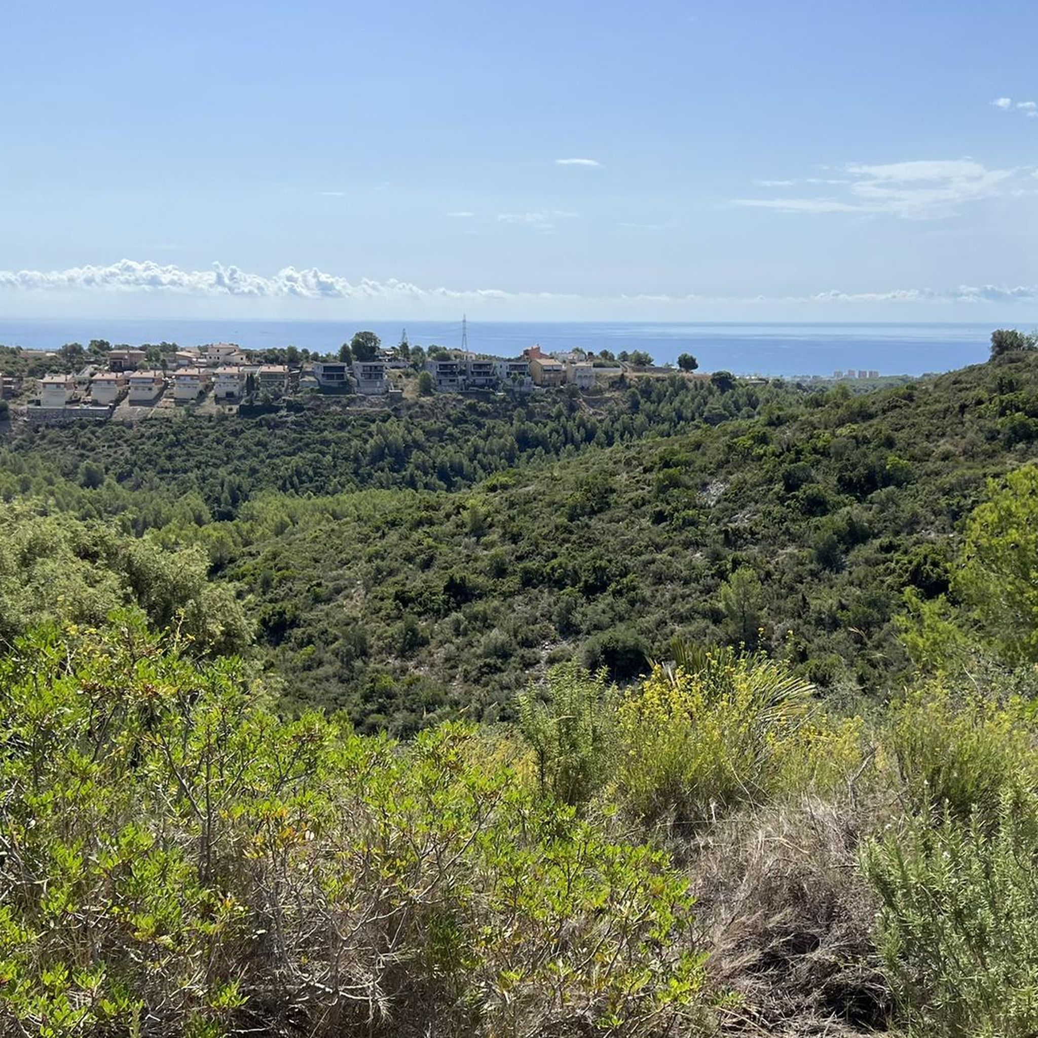
Hiking around Baix Penedes offers diverse landscapes, from coastal paths to inland forests and vineyards. The region features varied terrain, including river valleys and agricultural areas. Elevations are generally moderate, with some routes leading to hills that provide panoramic views of the Penedès plain and the Mediterranean Sea. The trail network caters to a range of fitness levels, with numerous easy and moderate options.
Best hiking trails in Baix Penedes
- The most popular hiking route is Castillo de la Muga…
Last updated: June 23, 2026
2.3
(3)
9
hikers
6.06km
01:41
120m
120m
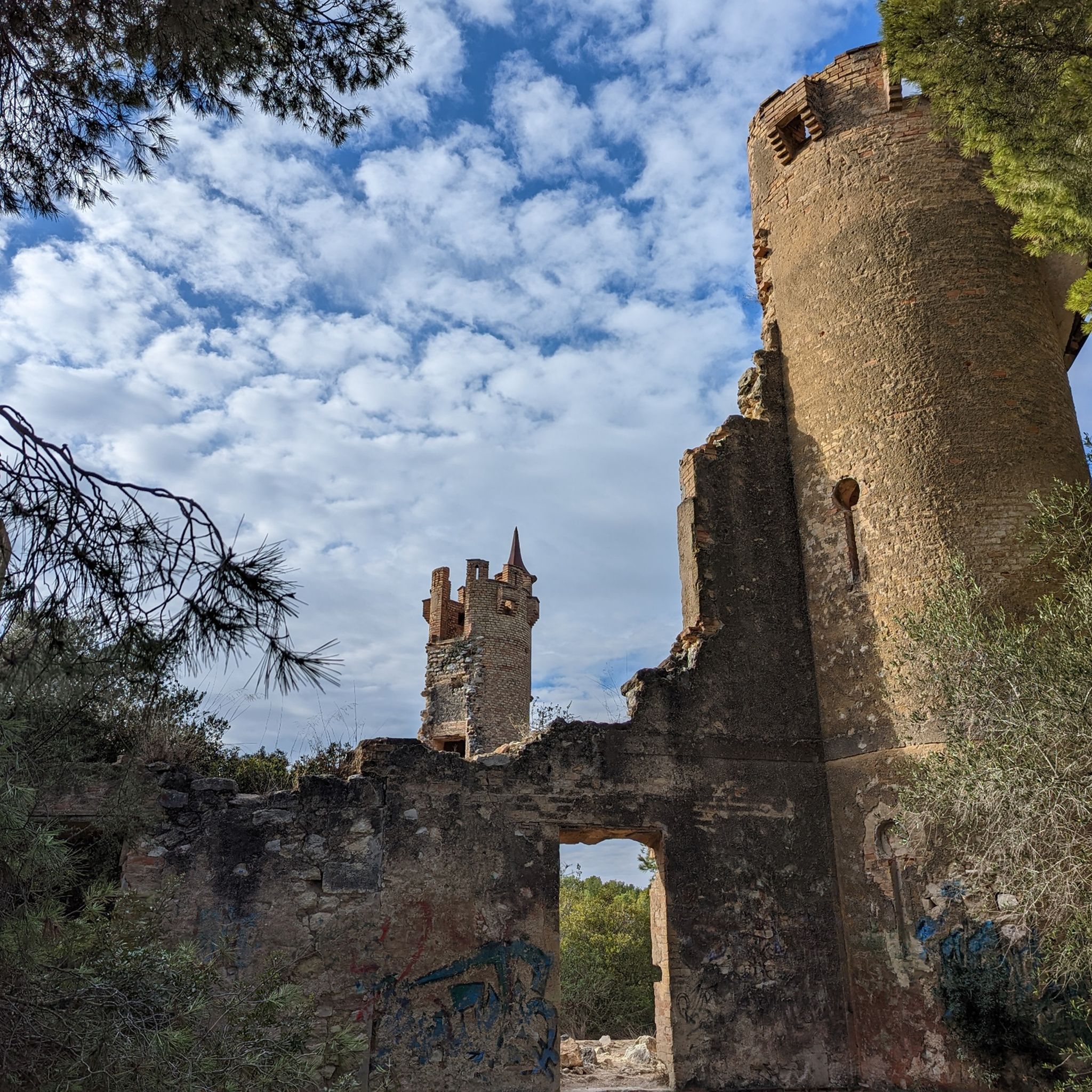
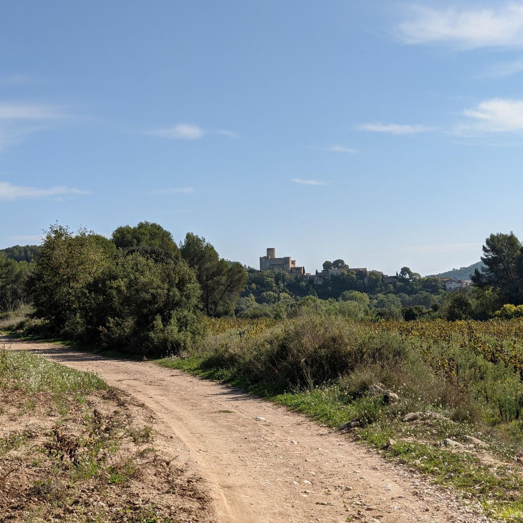
An easy 3.8-mile circular hike from Hospital del Vendrell, exploring the Bosc de Les Comes and the historic Castillo de la Muga ruins.
5.0
(4)
11
hikers
13.5km
03:46
260m
260m
Moderate hike. Good fitness required. Easily-accessible paths. Suitable for all skill levels.

Sign up for free
3.0
(2)
6
hikers
8.87km
02:21
90m
90m
Hike a moderate 5.5-mile (8.9 km) circular route in Coma-Ruga, featuring the coastal promenade and inland paths with 291 feet (89 metres) of
4.0
(1)
7
hikers
13.4km
03:31
110m
110m
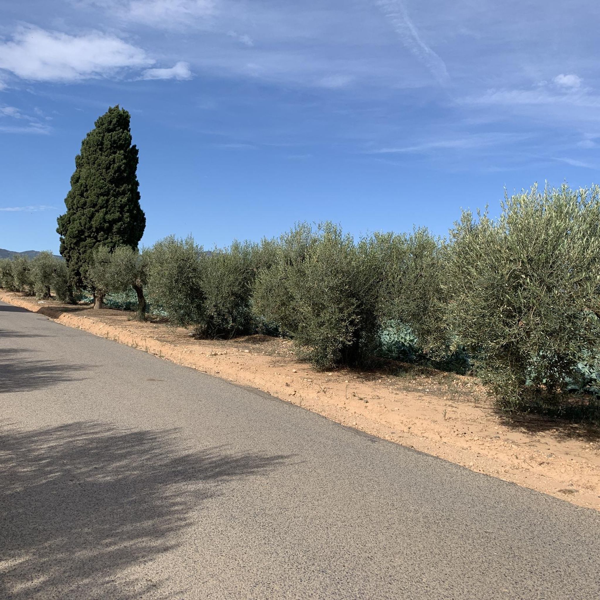
Hike the moderate PR-C 12: El Vendrell Trail, a 8.3-mile route through olive groves and past historical sites in El Vendrell.
3.0
(1)
7
hikers
13.3km
03:41
230m
230m
Moderate hike. Good fitness required. Easily-accessible paths. Suitable for all skill levels.
6
hikers
14.8km
04:05
260m
260m
Moderate hike. Good fitness required. Easily-accessible paths. Suitable for all skill levels.
1
hikers
13.7km
03:56
330m
330m
Hike the Santa Oliva-El Vendrell-Albinyana Trail, a moderate 8.5-mile route through olive groves and past historic sites.
3
hikers
13.1km
03:26
100m
100m
Moderate hike. Good fitness required. Easily-accessible paths. Suitable for all skill levels.
1.0
(1)
2
hikers
24.3km
06:27
260m
260m
This difficult 15.1-mile (24.3 km) circular hike from Vendrell to Albinyana to Santa Oliva offers historical sites and agricultural scenery.
17.8km
04:41
150m
150m
Hike the moderate 11.0-mile (17.8 km) Sant Salvador a Sanatori a Fondo del Mata circular route through Les Madrigueres Nature Area.
Get access to more routes and recommendations from other explorers.
Sign up for free
Already have an account?
Our route recommendations are based on thousands of hikes, rides, and runs completed by other people on komoot.
Start today with a free account
Your next adventure awaits.
Login or Signup
Other adventures around Baix Penedes


Tips from the Community


There is a small bridge and a very nice sign, but now the sign has been broken and the wooden bridge has fallen over time, it is no longer like in the photos, I do not recommend this part, but the route is very fun, narrow and wooded.
0
0

You can easily walk along the stone path; if it happens and it has rained a lot, there may be less than a foot of water, so be careful with your footwear; it is less than 3m wide.
0
0
climb up to the top and look at the views
0
0

Riera With stones to pass even with water
0
0

Almost endlessly long beach promenade. Almost boring for hiking, but definitely great on a bike!
0
0

This path between the Hospital del Vendrell and the Castillo de la Muga is beautiful, wooded and quite easy to follow. There are other fantastic trails that you can use to return, forming a perfect circuit.
0
0
Frequently Asked Questions
How many hiking trails are available in Baix Penedès?
Baix Penedès offers a wide selection of hiking trails, with over 270 routes recorded on komoot. These include more than 100 easy trails, around 160 moderate options, and a smaller number of more challenging routes for experienced hikers.
What kind of terrain can I expect on hikes in Baix Penedès?
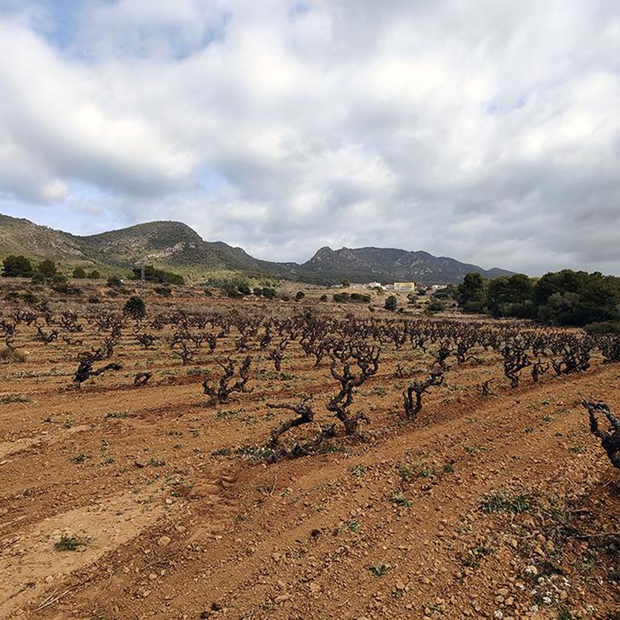
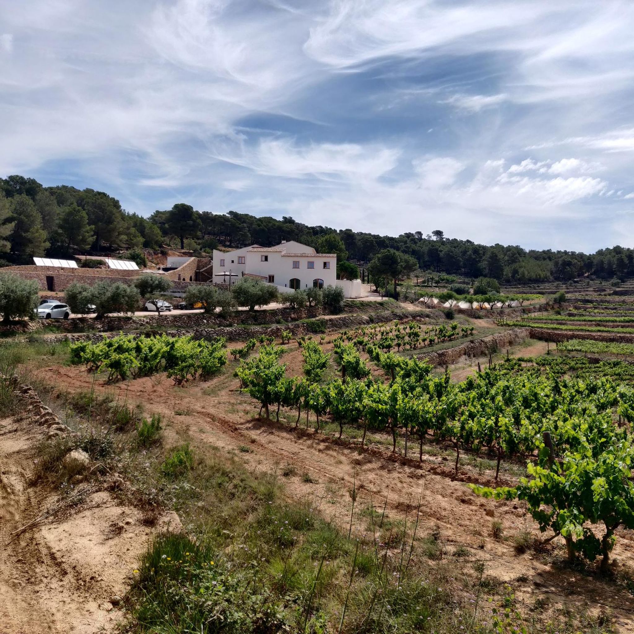
Hikers in Baix Penedès will encounter a diverse range of terrain. Routes often traverse forests, vineyards, and olive groves. You can also find coastal paths, promenades, and dune systems near areas like Coma-ruga and Calafell, offering sea views. Inland, there are river valleys and agricultural areas, with some routes leading to hills that provide panoramic views of the Penedès plain and the Mediterranean Sea.
Are there family-friendly hiking options in Baix Penedès?
Yes, Baix Penedès is well-suited for families, with numerous easy and moderate paths. Many routes are accessible and suitable for various fitness levels, making it possible to find walks that cater to children and those looking for a relaxed outing. The region's varied landscapes, from coastal walks to gentle vineyard trails, provide engaging scenery for all ages.
Can I find circular hiking routes in Baix Penedès?
Absolutely. Many of the trails in Baix Penedès are circular, offering convenient starting and ending points. For example, the El Vendrell to Puig del Lleo — circular via Sender Pedragosa and Pavelló Camp d'Esports El Vendrell to Turó del Telègraf — circular are popular loop trails that allow you to explore the region without retracing your steps.
What are some notable natural features or viewpoints to discover on hikes?
Baix Penedès offers several points of interest for scenic views and natural beauty. For panoramic vistas of the Penedès plain and the Mediterranean Sea, consider routes that climb towards Coll de les Ventoses. The region also features river valleys and forested areas like Fondo del Mata, which includes a pond and picnic facilities. Coastal paths, such as the Cunit Seafront Promenade, provide beautiful sea views.
Are there any historical or cultural landmarks along the hiking trails?
Yes, hiking in Baix Penedès can incorporate cultural elements. Trails often connect charming towns and villages, allowing you to experience local culture. You might encounter historical sites like La Muga Castle or pass through areas with Roman significance, such as the path of the ancient Via Augusta near El Vendrell. The Giralda of Arboç, a unique 1:2 scale replica of Seville's famous Giralda, is also a notable attraction in the area.
What is the best time of year to go hiking in Baix Penedès?
Baix Penedès is generally suitable for hiking throughout much of the year. Spring and autumn offer pleasant temperatures, ideal for exploring the varied landscapes of forests, vineyards, and coastal paths. Even winter can be a good time for hiking, as the climate remains mild compared to more northern regions, though it's always advisable to check local weather conditions.
What do other hikers enjoy most about the trails in Baix Penedès?
The hiking trails in Baix Penedès are highly rated by the komoot community, with an average score of 4.5 stars from over 500 reviews. Hikers frequently praise the diverse landscapes, which include a mix of coastal views, vineyards, and forested areas. The accessibility of paths suitable for all skill levels, from easy walks to more moderate hikes, is also a commonly appreciated aspect.
Are there any trails that lead to significant peaks or viewpoints?
Yes, for those seeking higher ground and expansive views, there are routes that ascend to various peaks and viewpoints. For instance, the El Vendrell to Puig del Lleo — circular via Sender Pedragosa trail climbs towards Puig del Lleo, offering elevated perspectives of the surrounding region. Other highlights like La Talaia Viewpoint also provide excellent scenic opportunities.
How accessible are the hiking trails by public transport or car?
Many hiking routes in Baix Penedès are accessible, particularly those starting from towns like El Vendrell or coastal areas like Coma-ruga. These locations often have public transport links, and parking is generally available near trailheads, especially in and around the villages and recreational areas. It's always recommended to check specific route details for parking information and public transport options.
Are there any long-distance or more challenging hikes in the region?
While Baix Penedès is known for its easy and moderate trails, there are also options for more challenging, longer-distance hikes. For example, the Vendrell to Albinyana to Santa Oliva — circular by the PR C 16 is a difficult 24.2 km route, providing a more demanding experience for hikers looking for a full day out.
Most popular routes around Baix Penedes
Most popular attractions around Baix Penedes

Get inspired with the komoot mobile app


Didn’t find what you were looking for?
Check out more Hikes throughout Baix Penedes below and find the perfect route in your destination.
Explore more
Browse the best Hikes in other regions.
