The best walks and hikes around el Vilosell
4.7
(446)
2,813
hikers
144
hikes
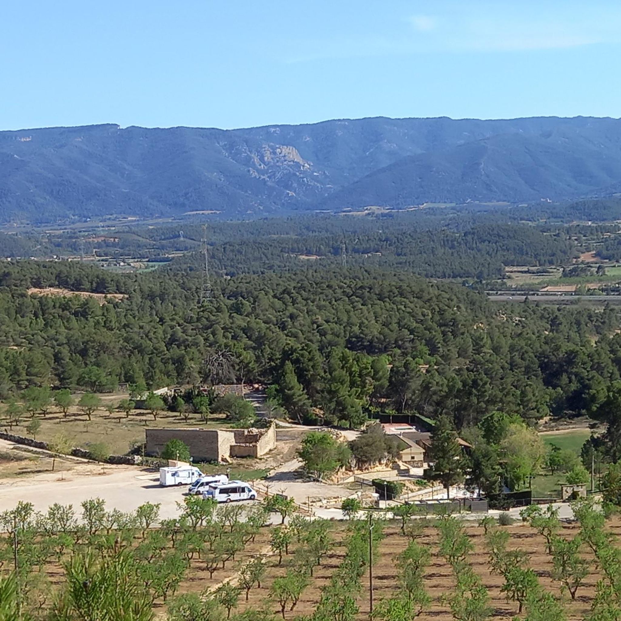
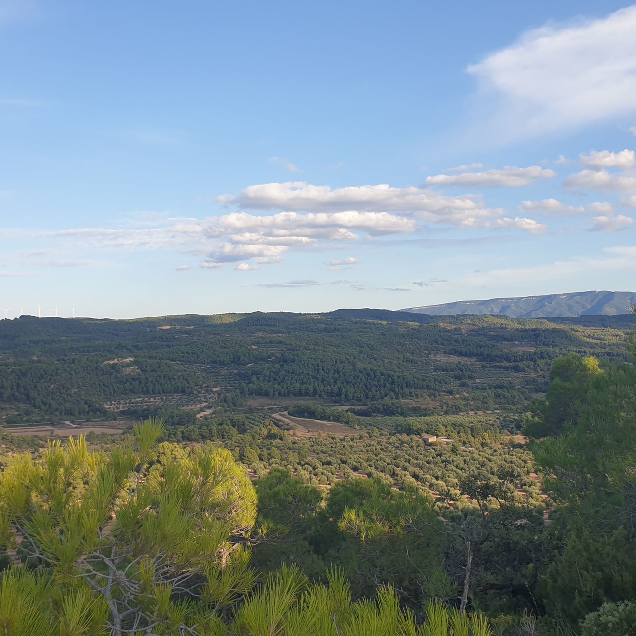
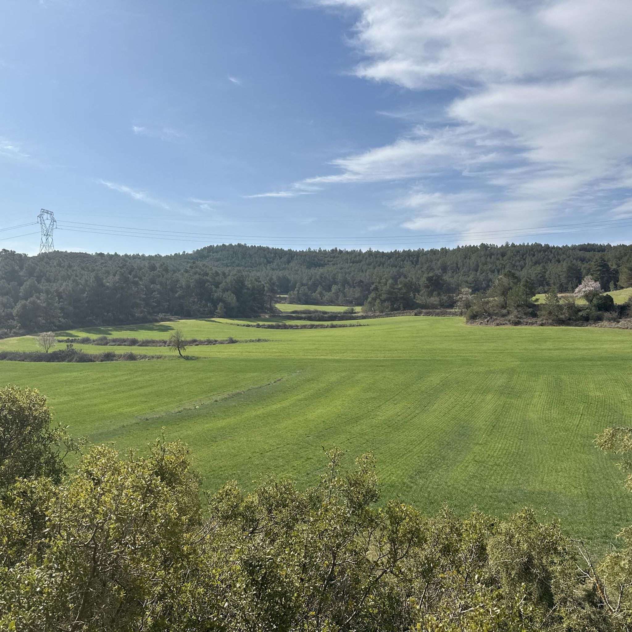
Hiking around El Vilosell offers diverse landscapes in the province of Lleida, Catalonia. The region features a "garriguenc" landscape characterized by extensive almond and olive groves. It is situated on the northern slopes of the Serra de la Llena, a mountain range with pine and holm oak forests. The highest point, Punta del Curull, provides panoramic views of the Lleida plain and surrounding mountain ranges.
Best hiking trails around el Vilosell
- The most popular hiking route is Serra de la…
Last updated: July 1, 2026
4.7
(9)
71
hikers
5.90km
01:41
140m
140m
Easy hike. Great for any fitness level. Easily-accessible paths. Suitable for all skill levels.
5.0
(1)
17
hikers
13.2km
04:08
480m
480m
Moderate hike. Good fitness required. Easily-accessible paths. Suitable for all skill levels.

Sign up for free
15
hikers
13.6km
04:13
480m
480m
Moderate hike. Good fitness required. Easily-accessible paths. Suitable for all skill levels.
4.7
(3)
7
hikers
8.30km
02:49
410m
410m
Moderate hike. Good fitness required. Easily-accessible paths. Suitable for all skill levels.
3.0
(1)
8
hikers
11.6km
03:45
480m
480m
Moderate hike. Good fitness required. Easily-accessible paths. Suitable for all skill levels.
4
hikers
15.3km
04:29
420m
420m
Moderate hike. Good fitness required. Easily-accessible paths. Suitable for all skill levels.
5.0
(1)
4
hikers
5.90km
01:38
100m
100m
Easy hike. Great for any fitness level. Easily-accessible paths. Suitable for all skill levels.
5.0
(1)
4
hikers
14.1km
04:08
390m
390m
Moderate hike. Good fitness required. Easily-accessible paths. Suitable for all skill levels.
4
hikers
10.2km
03:01
280m
280m
Moderate hike. Good fitness required. Easily-accessible paths. Suitable for all skill levels.
Get access to more routes and recommendations from other explorers.
Sign up for free
Already have an account?
Our route recommendations are based on thousands of hikes, rides, and runs completed by other people on komoot.
Start today with a free account
Your next adventure awaits.
Login or Signup

Tips from the Community

Do not attempt in bad weather and be prepared to lose your footing. Here and other parts of the route
0
0

Frequently Asked Questions
How many hiking trails are available around El Vilosell?
There are over 115 hiking trails around El Vilosell, catering to various skill levels. You'll find a good mix, with 36 easy routes, 70 moderate routes, and 9 more challenging options to explore.
What kind of landscapes can I expect to see while hiking in El Vilosell?
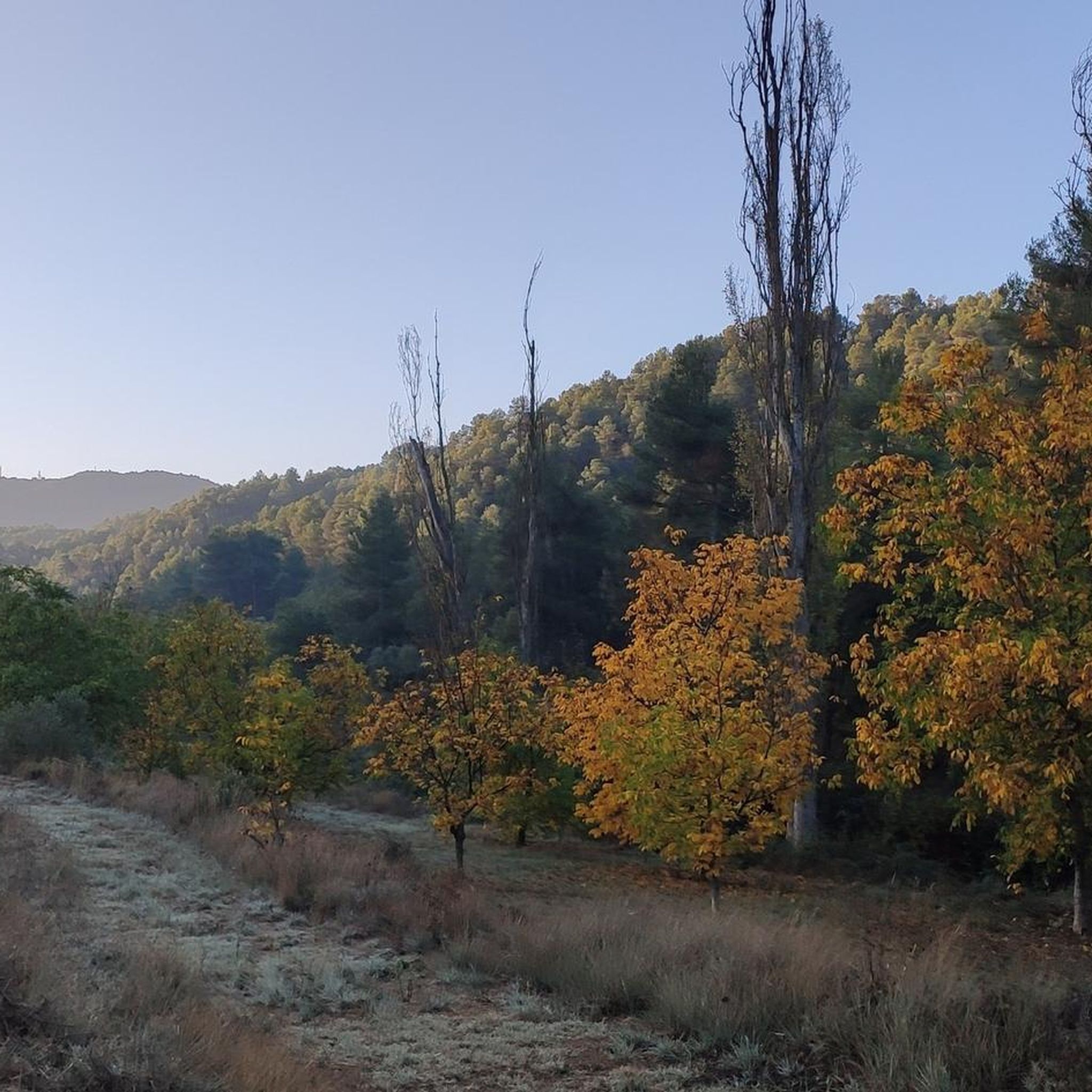
The region around El Vilosell features a distinctive "garriguenc" landscape, characterized by extensive almond and olive groves, especially picturesque during blooming seasons. You'll also encounter pine and holm oak forests, particularly on the northern slopes of the Serra de la Llena. From higher points like Punta del Curull, you can enjoy panoramic views of the Lleida plain and the pre-Pyrenean and Pyrenean mountain ranges.
Are there any circular hiking routes in El Vilosell?
Yes, many routes in the area are circular. For example, you could try the moderate Punta Curull Summit – El Vilosell loop from Vilanova de Prades, which covers about 12.8 km. Another option is the easy El Vilosell loop from el Vilosell, a shorter 5.6 km route.
What are some notable landmarks or points of interest I can visit on a hike?
Hikers can discover traditional "cabanes de volta" (dry stone huts) integrated into the landscape, showcasing the region's agricultural history. The Ermita de Sant Miquel de la Tosca, a baroque-style hermitage located in the Serra de la Llena, is a significant point of interest, often reached via a shaded path near the Font de Sant Miquel spring.
What do other hikers say about the trails in El Vilosell?
The hiking trails in El Vilosell are highly regarded by the komoot community, with an average rating of 4.7 stars from over 370 reviews. Hikers often praise the varied terrain, from tranquil groves to mountainous paths, and the expansive views from summits like Punta del Curull.
Are there family-friendly hiking options in El Vilosell?
Yes, there are several easy routes suitable for families. The Serra de la Llena – Punta Curull Summit loop from Vilanova de Prades is an easy 5.9 km trail that takes about 1 hour 41 minutes, offering great views without being too strenuous.
What is the best time of year to go hiking in El Vilosell?
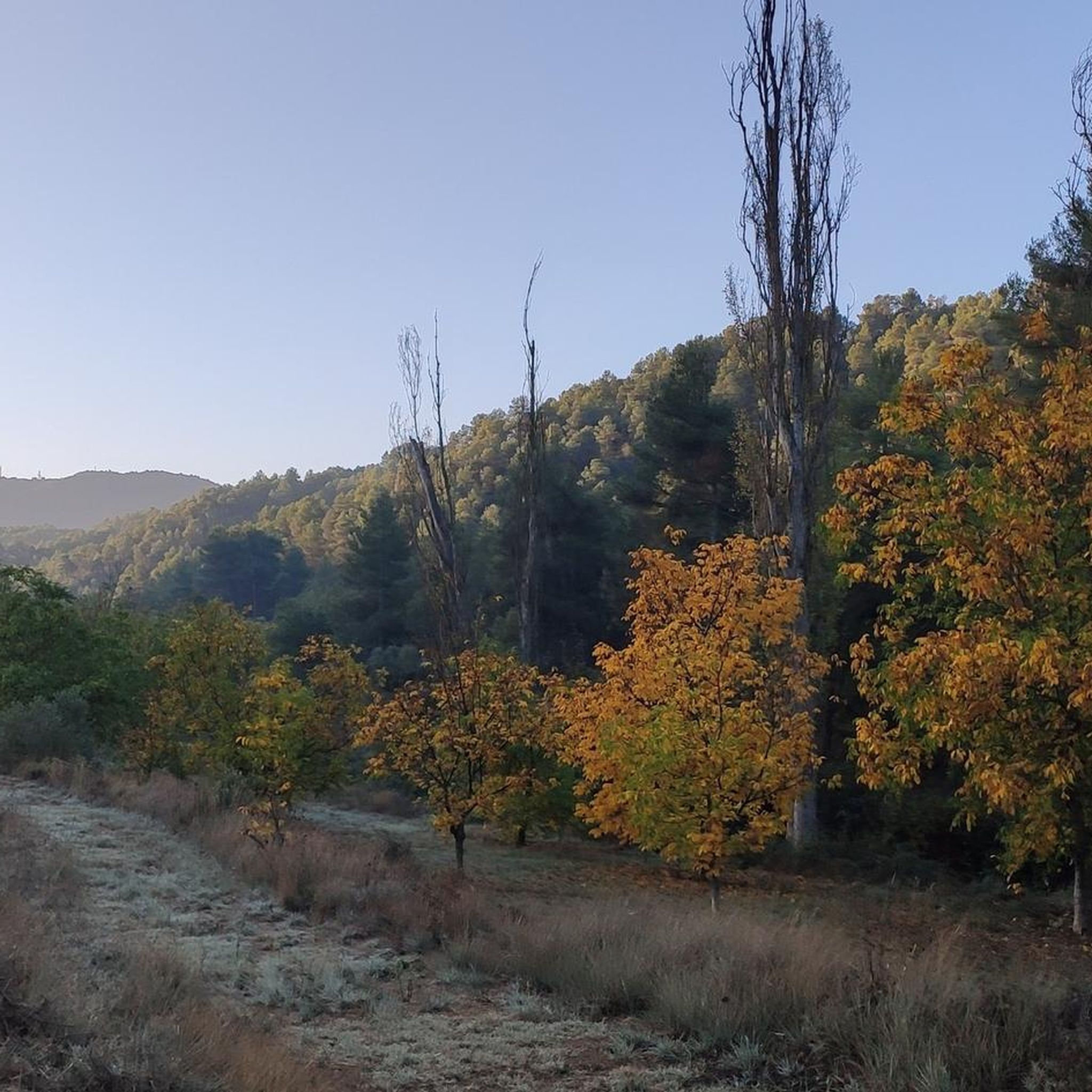
El Vilosell offers pleasant hiking conditions for much of the year. Spring is particularly beautiful when the almond groves are in bloom. Autumn also provides comfortable temperatures and lovely scenery. Summers can be warm, so early morning or late afternoon hikes are recommended, while winters are generally mild, allowing for year-round exploration.
Are there any longer, more challenging routes for experienced hikers?
For those seeking a longer challenge, the Hiking loop from Vilanova de Prades is a moderate 15 km route with significant elevation gain. While classified as moderate, its length and ascent make it a good option for more experienced hikers looking for a full day out.
Can I reach hiking trailheads in El Vilosell using public transport?
While El Vilosell is a charming village, public transport options directly to all trailheads can be limited. It's advisable to check local bus schedules if relying on public transport. Many hikers find it more convenient to arrive by car, especially for accessing routes that start further afield in the Serra de la Llena.
Is there parking available near the hiking trails in El Vilosell?
Yes, parking is generally available in and around El Vilosell, particularly within the village itself. For specific trailheads, you may find designated parking areas, though these can vary. It's recommended to check the starting point of your chosen route for the most convenient parking options.
What is the highest point I can reach on a hike in the El Vilosell area?
The highest point in the Garrigues region, and a popular hiking destination, is Punta del Curull (also known as Tossa del Quico), which stands at 1029.9 meters. Hikes to this summit offer magnificent panoramic views of the surrounding landscapes.
Are there any routes that follow a river or offer waterside views?
Yes, the region features the Ruta del riu Set, a longer route that connects El Vilosell with neighboring villages along the Set river. While this specific route is extensive, you can find sections or paths that follow the river's course, offering a different natural perspective.
Most popular routes around el Vilosell

Get inspired with the komoot mobile app


Didn’t find what you were looking for?
Check out more Hikes throughout el Vilosell below and find the perfect route in your destination.
Explore more
Browse the best Hikes in other regions.
