The 12 Most Amazing Peaks around Alt Urgell
Best mountain peaks around Alt Urgell are found in the central Pyrenees, a region characterized by a rugged and diverse mountainous landscape. This area includes parts of the Serra del Cadí mountain range, a significant feature of the Cadí-Moixeró Natural Park. The geology primarily consists of Eocene limestone in the peaks, offering varied terrain. It provides opportunities for outdoor activities and exploration of natural environments.
Best mountain peaks around Alt Urgell
- The most popular mountain peaks is El Collell Pass…
Last updated: October 10, 2026
El Collell Pass
Highlight • Mountain Pass
Translated by Google •
Tip by

Aguja del Corb and Ruins of Ermita de Sant Salvador
Highlight • Historical Site
Translated by Google •
Tip by

Sign up now to discover places like this
Get recommendations on the best single tracks, peaks, & plenty of other exciting outdoor places.
Pedró dels Quatre Batlles (2,383 m)
Highlight • Summit
Translated by Google •
Tip by
Pic Negre
Highlight • Summit
Showing Translation
Tip by

Collada de Montaner
Highlight • Mountain Pass
Translated by Google •
Tip by

Galliner Viewpoint
Highlight • Viewpoint
Translated by Google •
Tip by
View of Rocas de Sant Honorat
Highlight • Viewpoint
Translated by Google •
Tip by
Top of the Coscollet viewpoint
Highlight • Viewpoint
Translated by Google •
Tip by

Ridge from Monturull to Perafita Peak
Highlight (Segment) • Summit
Translated by Google •
Tip by

Pic de la Bassera
Highlight • Summit
Translated by Google •
Tip by
Sign up for free to discover even more peaks around Alt Urgell.
Already have an account?
Start today with a free account
Your next adventure awaits.
Popular around Alt Urgell
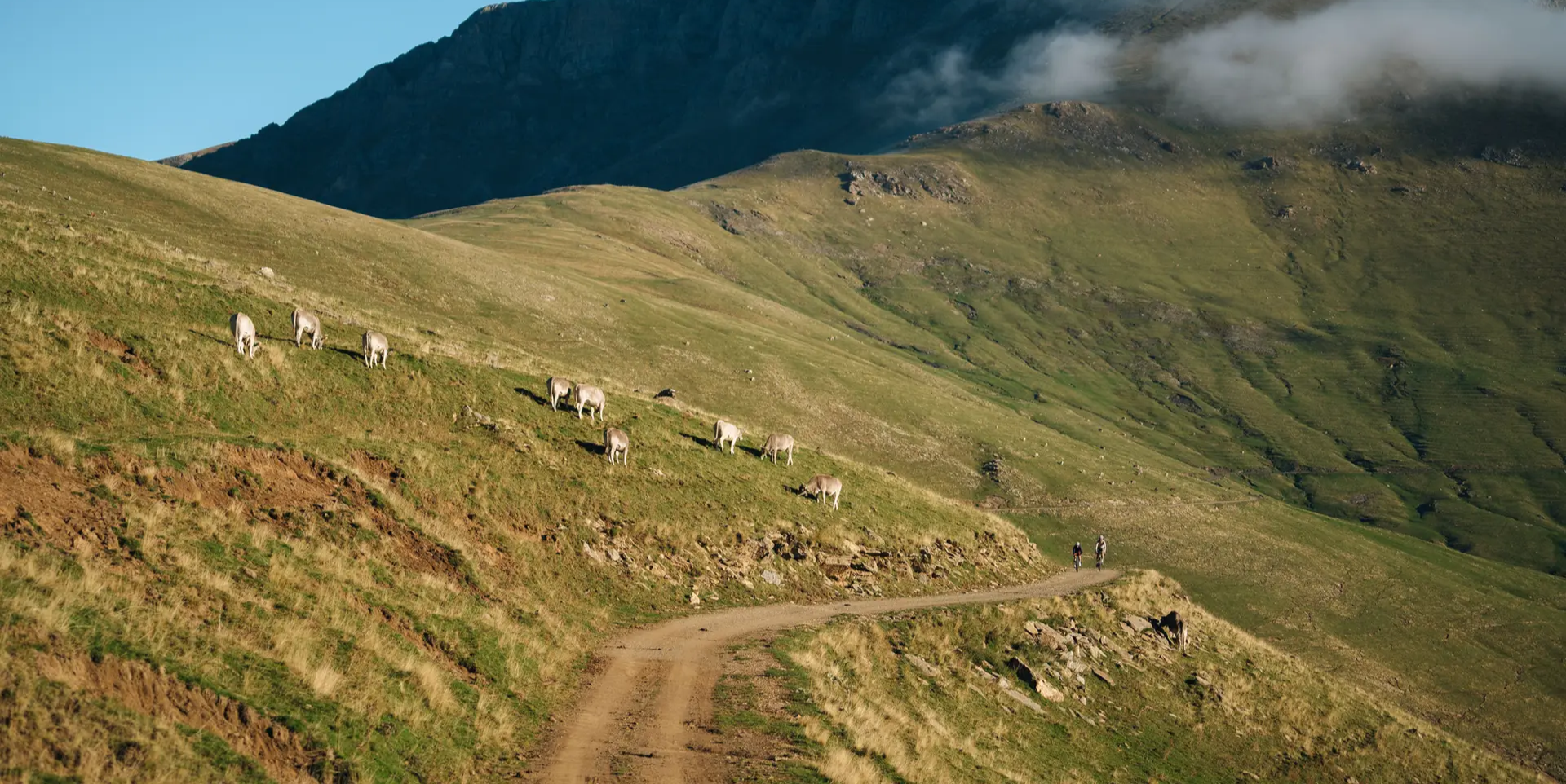
Grand Tour of Catalonia Gravel – your bikepacking adventure
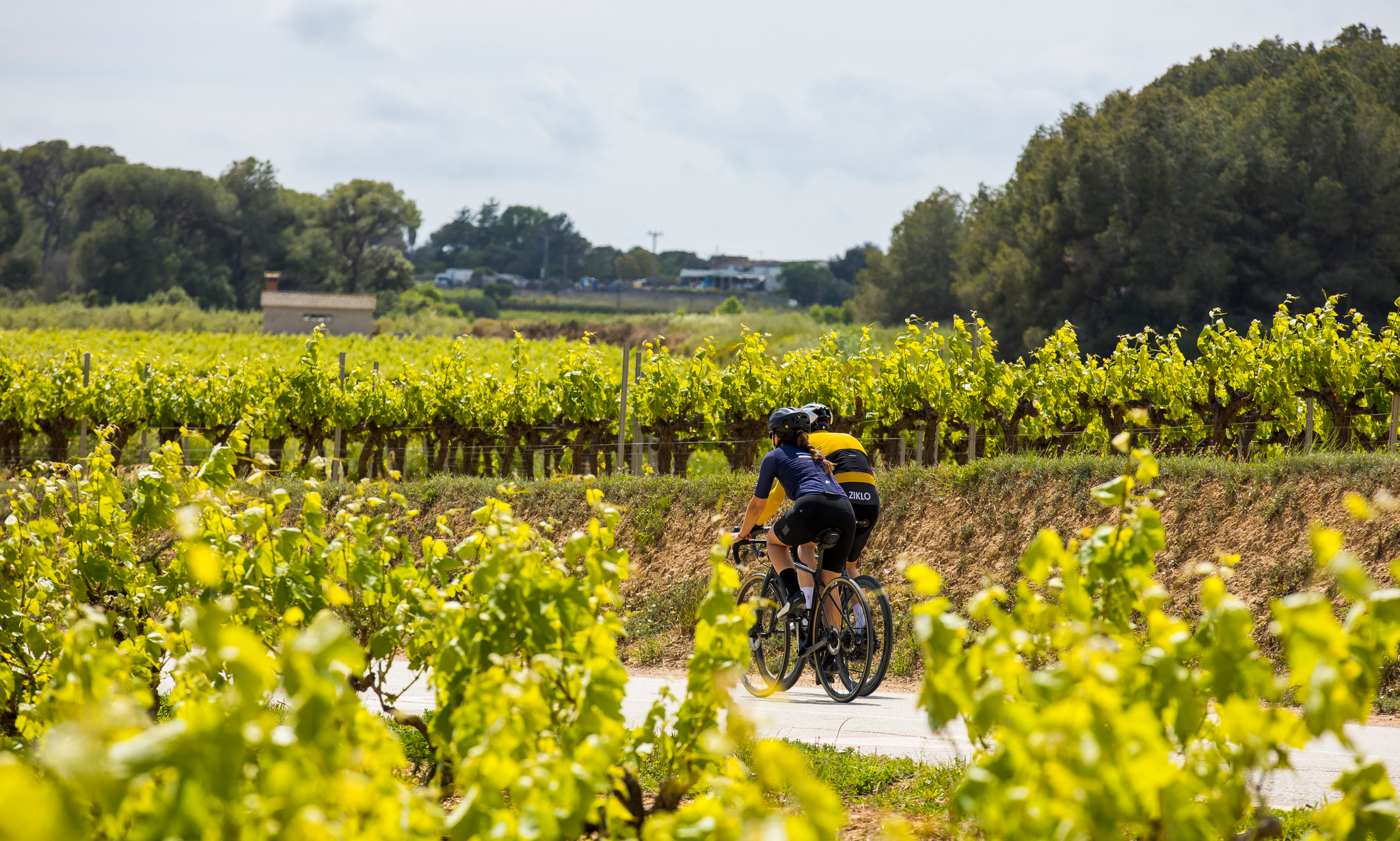
Cycling in the province of Barcelona — family routes and traverses
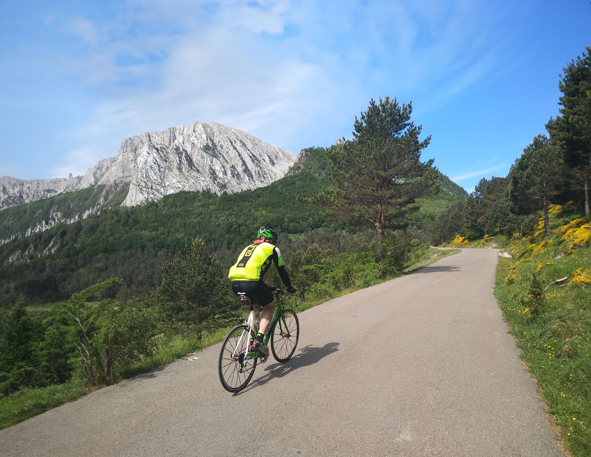
The Bay of Biscay to the Mediterranean — southern Pyrenees cycle tour
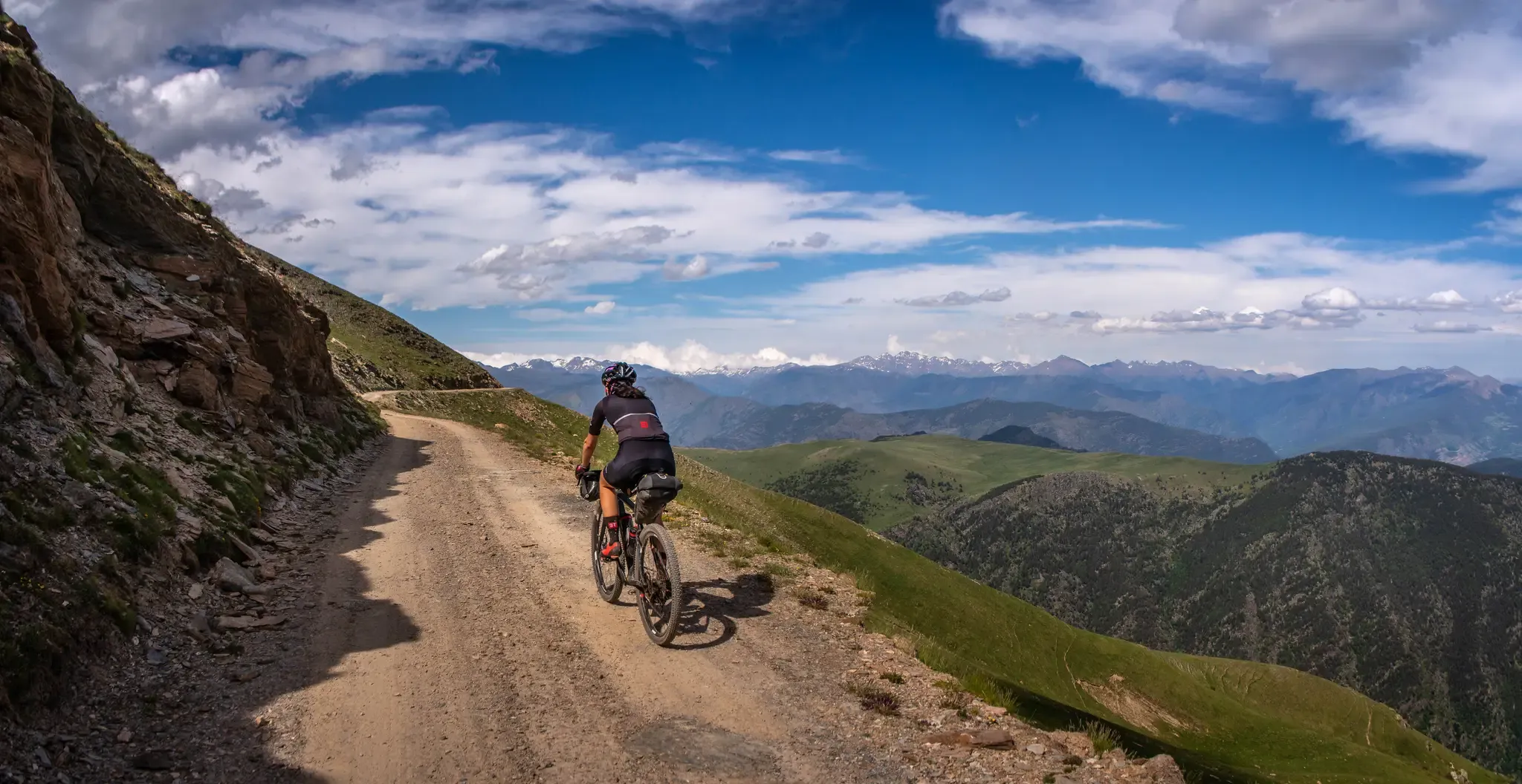
A high-altitude journey – Transpirenaica MTB
Bikepacking from La Seu d'Urgell to La Seu d'Urgell in the Tost Valley
A Pyrenean experience – traversing beautiful Andorra (GR 7)
A land of contrasts – Tarragona to the Pyrenees on the GR 7
From the Mediterranean to the Pre-Pyrenees – Historical Path in Catalonia (GR 1)
Trans Pyrenees Race No2 – how a journey became a race
Road Cycling Routes around Alt Urgell
Other adventures around Alt Urgell


Tips from the Community

On the border between the municipalities of Peramola and Oliana, you will find the summit and viewpoint of Coscollet, one of the highest and most spectacular points in the Serra d’Aubenç, with extensive views over the Segre River, the Oliana Reservoir and a good part of Alt Urgell. The access road passes through demanding paths and tracks, often rocky and exposed, reserved for experienced cyclists with good legs, or e-bikes with autonomy. Arriving at the summit, at almost 1,610 meters above sea level, rewards the effort with one of the wildest and most solitary panoramas of the Catalan Pre-Pyrenees. The wind often blows strongly, and there is no service or shade, so you need to bring water, protection and everything you might need to stay there for a while. It is one of those places that is not easy, but that leaves its mark.
1
0
Located in the parish of Sant Julià de Lòria, in southern Andorra, this peak is very close to the border with Spain, within the Madriu-Perafita-Claror Valley Natural Park, which is a UNESCO World Heritage Site. From the summit, spectacular views can be enjoyed of the Grandvalira ski resort, the Ariège valley in France, and other prominent peaks of the Pyrenees.
1
0

There is an 18km climb and almost no shadows.
1
0

A mountain pass, above the ski resort and the highest point of the Vallnord Bikepark routes and crossroads of multiple routes. Spectacular views of the surrounding peaks and valleys.
0
0

If we find ourselves in the port of Cabús in a southerly direction we see what is called Pic de la Bassera, an intermediate mountain that takes you in the direction of Pic de Salòria.
0
0
Beautiful peak that is located just above what is called the Coll de Cabús, a mountain with history as it has united both towns on both sides of the border.
0
0
To reach the Pic, you have to travel along a gravel road on one of the highest mountain roads in the Pyrenees of the country. The high-altitude gravel road should not be attempted in winter. Impressive views at 2640 meters.
0
1
Aerial ridge that is on the border between Andorra and the southern slope of this system that falls to the Cerdanya valley and Seu d'Urgell. At the foot on one side the valleys of Pedrafita and on the other, the ponds of the Pera.
0
0
Frequently Asked Questions
What are some of the most prominent mountain peaks in Alt Urgell?
The Alt Urgell region, nestled in the central Pyrenees, features several notable peaks. Among them is Vulturó (or Puig de la Canal Baridana), the highest point in the Alt Urgell section of the Serra del Cadí. Other significant peaks include Torreta de Cadí and Pedró dels Quatre Batlles (2,383 m), which is the highest point of the Port del Comte massif. You can also explore El Collell Pass, a mountain pass at about 1800 meters high, and Col de la Trava Peak, which serves as a gateway to Pedraforca.
What is the highest mountain peak in the Alt Urgell region?
The highest mountain peak in the Alt Urgell section of the Serra del Cadí, and indeed the highest in the entire Cadí-Moixeró Natural Park, is Vulturó (also known as Puig de la Canal Baridana). It stands at an impressive 2,649 meters (8,688 ft), offering unparalleled panoramic views of the surrounding Pyrenean and Pre-Pyrenean landscapes.
Are there any historical sites or unique landmarks among the mountain peaks?
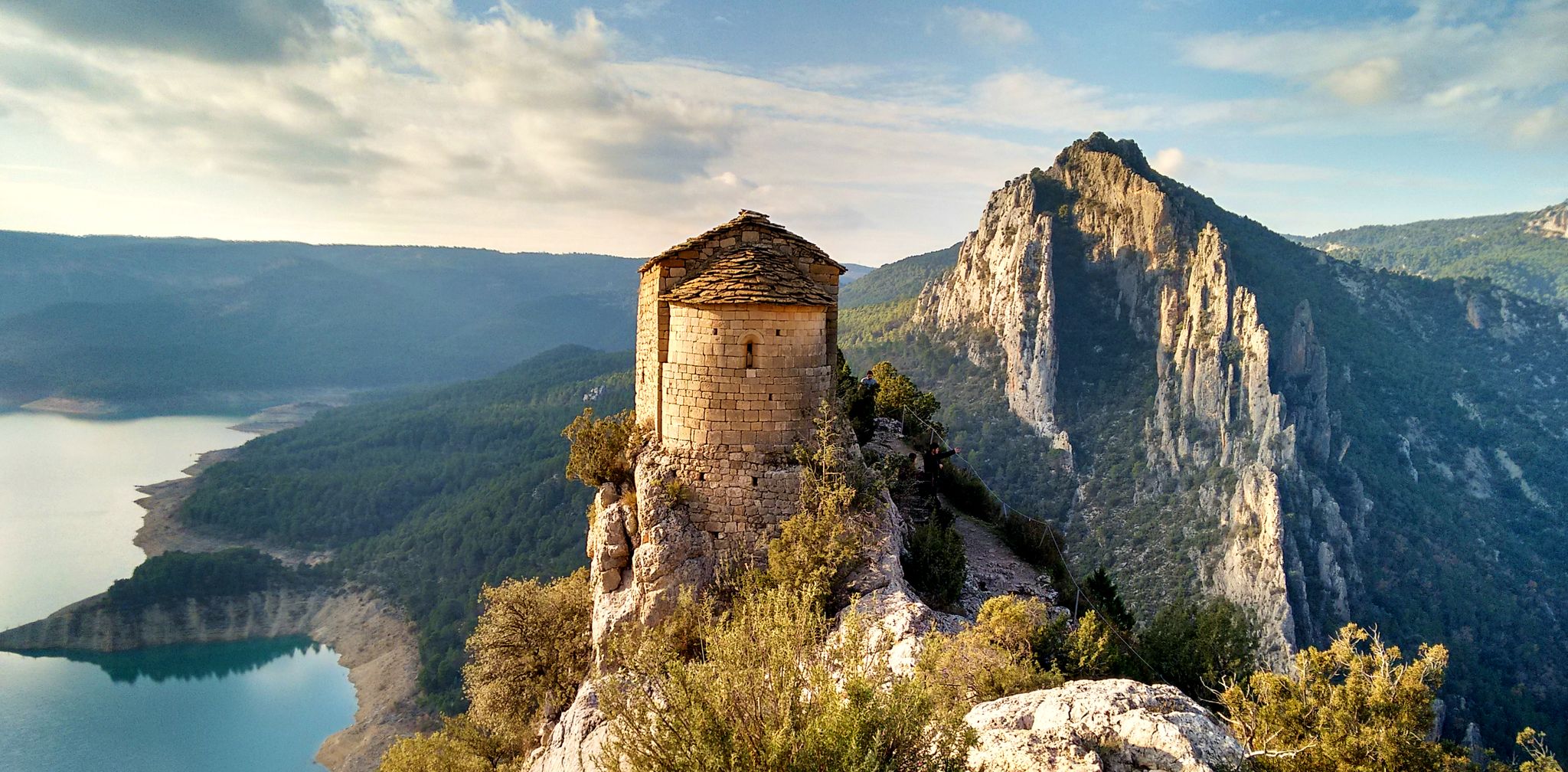
Yes, the region offers a blend of natural beauty and history. A notable historical site is Aguja del Corb and Ruins of Ermita de Sant Salvador, featuring the ruins of a Romanesque hermitage built in the 11th century. Additionally, Pedró dels Quatre Batlles (2,383 m) is historically significant as a dividing point between four municipalities.
What kind of views can I expect from the mountain peaks in Alt Urgell?
The mountain peaks in Alt Urgell offer breathtaking and diverse views. From the summit of Vulturó, you can enjoy unparalleled panoramic vistas of the surrounding Pyrenean and Pre-Pyrenean landscapes. Other viewpoints like View of Rocas de Sant Honorat provide magnificent scenery, and are also known for spotting large birds of prey. The dramatic, almost vertical cliffs of the Serra del Cadí's northern face, where Vulturó is located, also contribute to the spectacular scenery.
What outdoor activities can I do near these mountain peaks?
The Alt Urgell region is a hub for outdoor enthusiasts. You can find numerous hiking trails, ranging from easy to difficult. For example, the 'Route of the Raven and Hermitage of San Honorat' is a moderate hike, while 'Pico de Saloria - Circular Route' is more challenging. The area is also renowned for rock climbing, with world-class limestone crags in Oliana, Coll de Nargó, and Organyà. Cycling is another popular activity, with routes like the 'Historic set of la Seu de Urgell'. You can find more details on these activities in the Hiking around Alt Urgell and Cycling around Alt Urgell guides.
Are there hiking trails near the mountain peaks in Alt Urgell?
Absolutely! The Alt Urgell region, particularly within the Cadí-Moixeró Natural Park, is excellent for hiking. You'll find diverse environments, from subalpine valleys and meadows to rocky alpine terrain. Popular routes include the Camí del Prat de Cadí. For specific trails, consider the 'Route of the Raven and Hermitage of San Honorat' or the 'Organyà to Fontanet Ponds Trail'. More hiking options are available in the Hiking around Alt Urgell guide.
What is the best time to visit the Alt Urgell mountains for hiking?
While specific seasonal recommendations for Alt Urgell are not detailed, generally, the Pyrenean region is best visited during late spring, summer, and early autumn for hiking. These months offer more stable weather conditions and accessible trails. Winter can be challenging due to snow and ice, requiring specialized equipment and experience, but offers unique opportunities for winter sports.
Are there any family-friendly mountain walks in Alt Urgell?
Yes, there are options for families looking to enjoy the mountains. While some peaks involve challenging ascents, the region also offers easier trails. For instance, the 'Organyà to Fontanet Ponds Trail' and the 'Coll de la Trava – Coll de Creus loop' are listed as easy hikes. These provide a great way for families to experience the natural beauty of Alt Urgell. You can explore more easy options in the Easy hikes around Alt Urgell guide.
What kind of terrain and geology characterize the mountain peaks of Alt Urgell?
The mountain peaks of Alt Urgell are characterized by a rugged and diverse mountainous landscape. The geology primarily consists of Eocene limestone, particularly in the peaks of the Serra del Cadí. The northern face of the Serra del Cadí, where Vulturó is located, features dramatic, almost vertical cliffs and deeply incised valleys, formed by the uplift of the Segre fault block. This varied terrain offers a range of hiking experiences, from subalpine valleys to rocky alpine environments.
Are there opportunities for advanced climbing in Alt Urgell?
Yes, Alt Urgell is globally recognized as a premier destination for advanced rock climbing. Areas like Oliana, Coll de Nargó, and Organyà are famous for their high-quality limestone crags. Oliana, in particular, features limestone walls up to 600m high, including the 'Contrafort de Rumbau,' which hosts some of the world's most challenging sport climbs. Organyà is home to the world-class Tres Ponts area, known for its long, athletic pitches, attracting climbers seeking demanding routes.
What wildlife can I spot in the Alt Urgell mountains?
The Cadí-Moixeró Natural Park, which encompasses many of Alt Urgell's peaks, is known for its rich vegetation and fauna. While specific species are not detailed, the region's diverse environments, from subalpine valleys to rocky alpine terrain, support a variety of wildlife. For instance, the View of Rocas de Sant Honorat is noted as a great place for spotting giant birds of prey.
What are some lesser-known but rewarding peaks or viewpoints in Alt Urgell?
Beyond the highest summits, Alt Urgell offers several rewarding, perhaps lesser-known, spots. Pic Negre is a summit offering great views. Galliner Viewpoint and Top of the Coscollet viewpoint also provide excellent perspectives of the surrounding landscapes. These spots allow for exploration away from the most frequented trails while still offering stunning natural beauty.
Most popular routes around Alt Urgell
Most popular attractions around Alt Urgell

Get inspired with the komoot mobile app


Didn’t find what you were looking for?
Discover Alt Urgell’s best peaks and summits by region:
Explore more
See even more amazing summits around Alt Urgell with these guides:
