The best running trails around Cerdanya
4.6
(28)
3,010
runners
227
runs
Jogging around Cerdanya offers access to a wide valley nestled within the Pyrenees, providing extensive open spaces and varied terrain. The region is characterized by majestic mountain peaks, including those within the Cadí-Moixeró Natural Park, and features diverse vegetation from Mediterranean forests to alpine meadows. The upper valley of the River Segre contributes to a lush environment, complemented by picturesque lakes and woodlands, creating a dynamic landscape for running.
Best jogging routes around Cerdanya
- The most popular jogging route is…
Last updated: June 23, 2026
4.5
(2)
11
runners
11.1km
01:12
50m
50m
Moderate run. Good fitness required. Mostly accessible paths. Some sure footedness required.
149
runners
8.24km
00:53
40m
40m
Moderate run. Good fitness required. Mostly paved surfaces. Suitable for all skill levels.

Sign up for free
76
runners
49.1km
08:49
2,930m
2,930m
Hard run. Very good fitness required. Sure-footedness, sturdy shoes and alpine experience required.
62
runners
6.39km
00:42
50m
50m
Moderate run. Good fitness required. Mostly paved surfaces. Suitable for all skill levels.
62
runners
11.3km
01:58
880m
880m
Hard run. Very good fitness required. Mostly paved surfaces. Suitable for all skill levels.
3.0
(1)
43
runners
16.0km
01:44
130m
130m
Hard run. Very good fitness required. Mostly paved surfaces. Suitable for all skill levels.
43
runners
14.7km
01:35
120m
120m
Moderate run. Good fitness required. Mostly paved surfaces. Suitable for all skill levels.
3.0
(2)
39
runners
5.25km
00:33
50m
50m
Moderate run. Good fitness required. Mostly paved surfaces. Suitable for all skill levels.
38
runners
Moderate run. Good fitness required. Mostly paved surfaces. Suitable for all skill levels.
36
runners
12.0km
01:15
90m
90m
Moderate run. Good fitness required. Mostly paved surfaces. Suitable for all skill levels.
Get access to more routes and recommendations from other explorers.
Sign up for free
Already have an account?
Our route recommendations are based on thousands of hikes, rides, and runs completed by other people on komoot.
Start today with a free account
Your next adventure awaits.
Login or Signup
Popular around Cerdanya
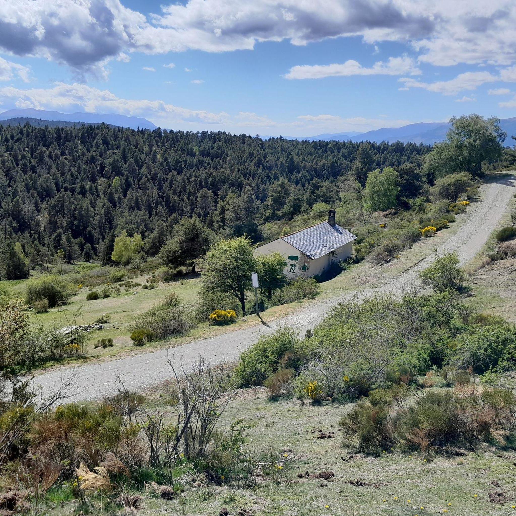
Running Trails around Puigcerdà
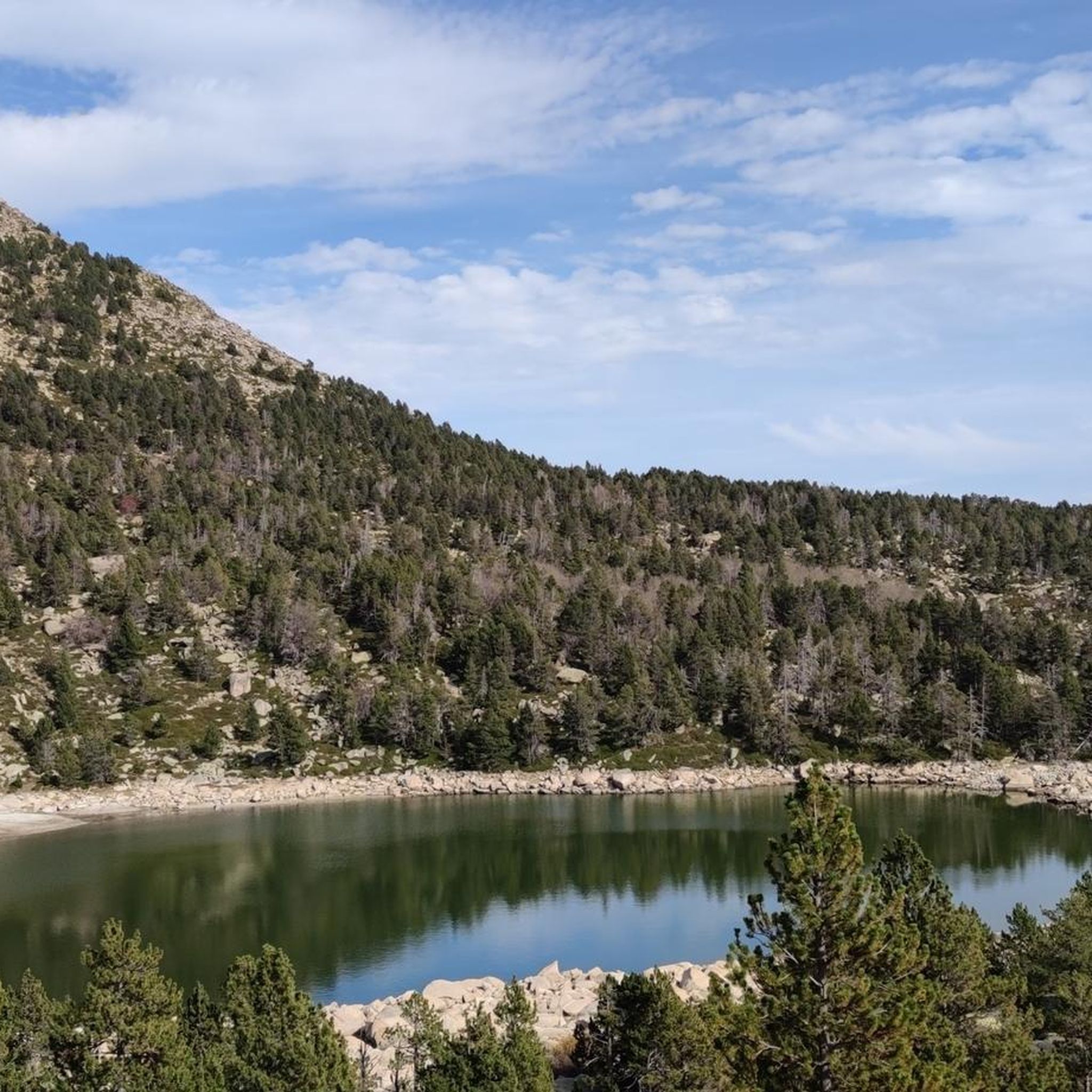
Running Trails around Ger
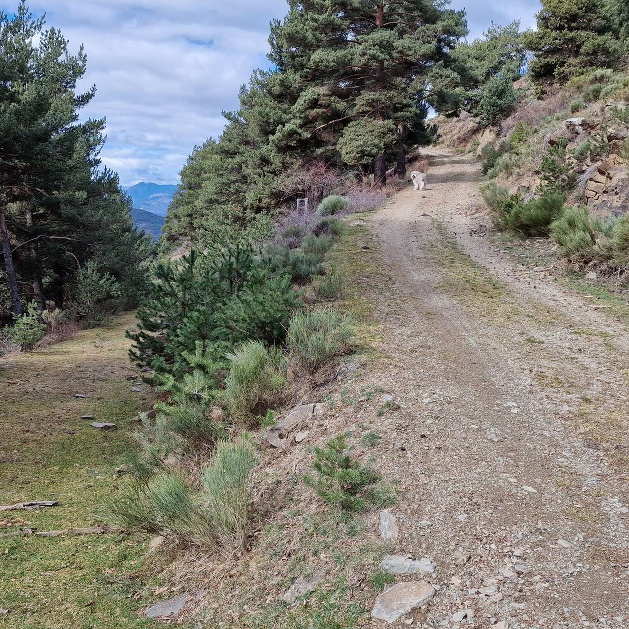
Running Trails around Fontanals De Cerdanya
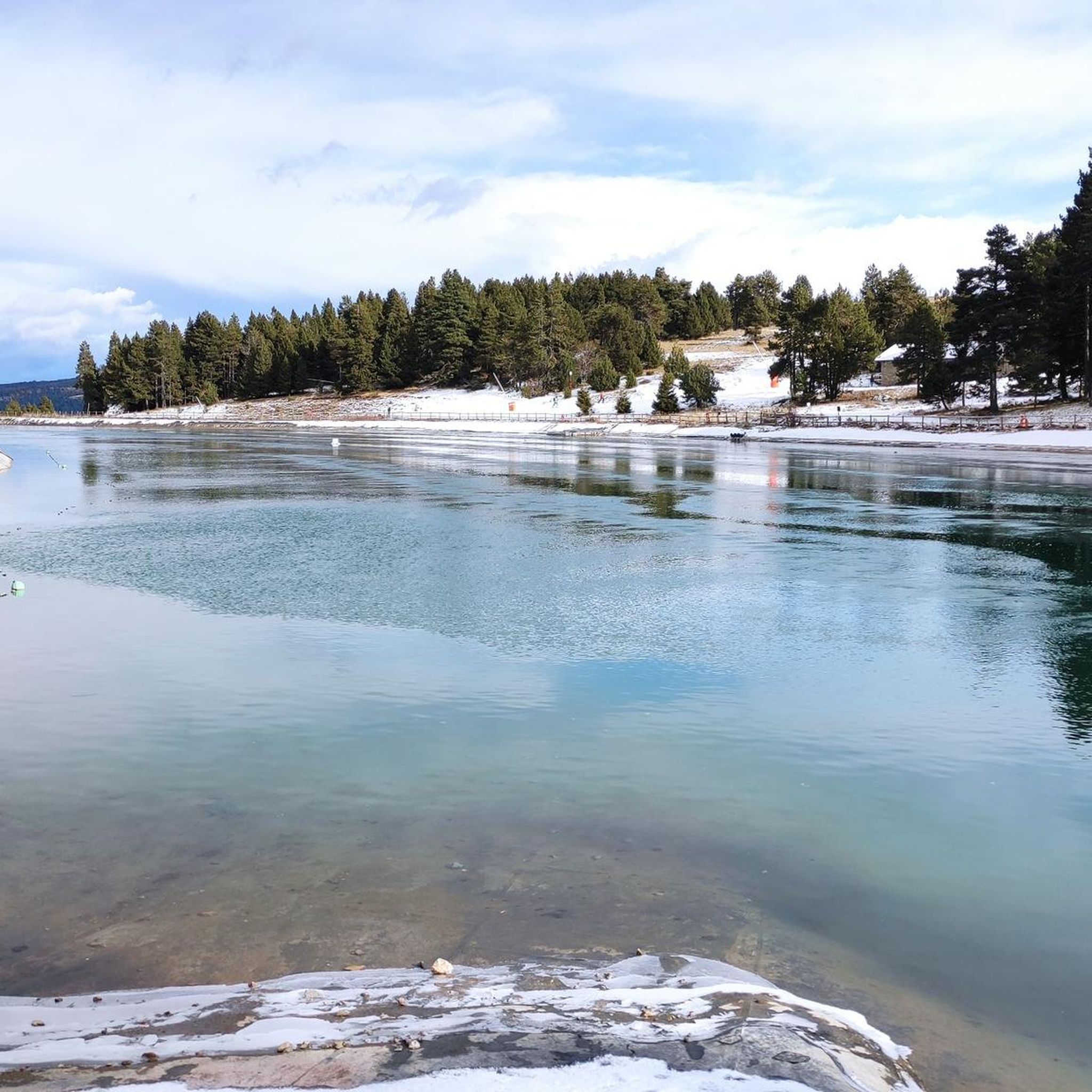
Running Trails around Alp
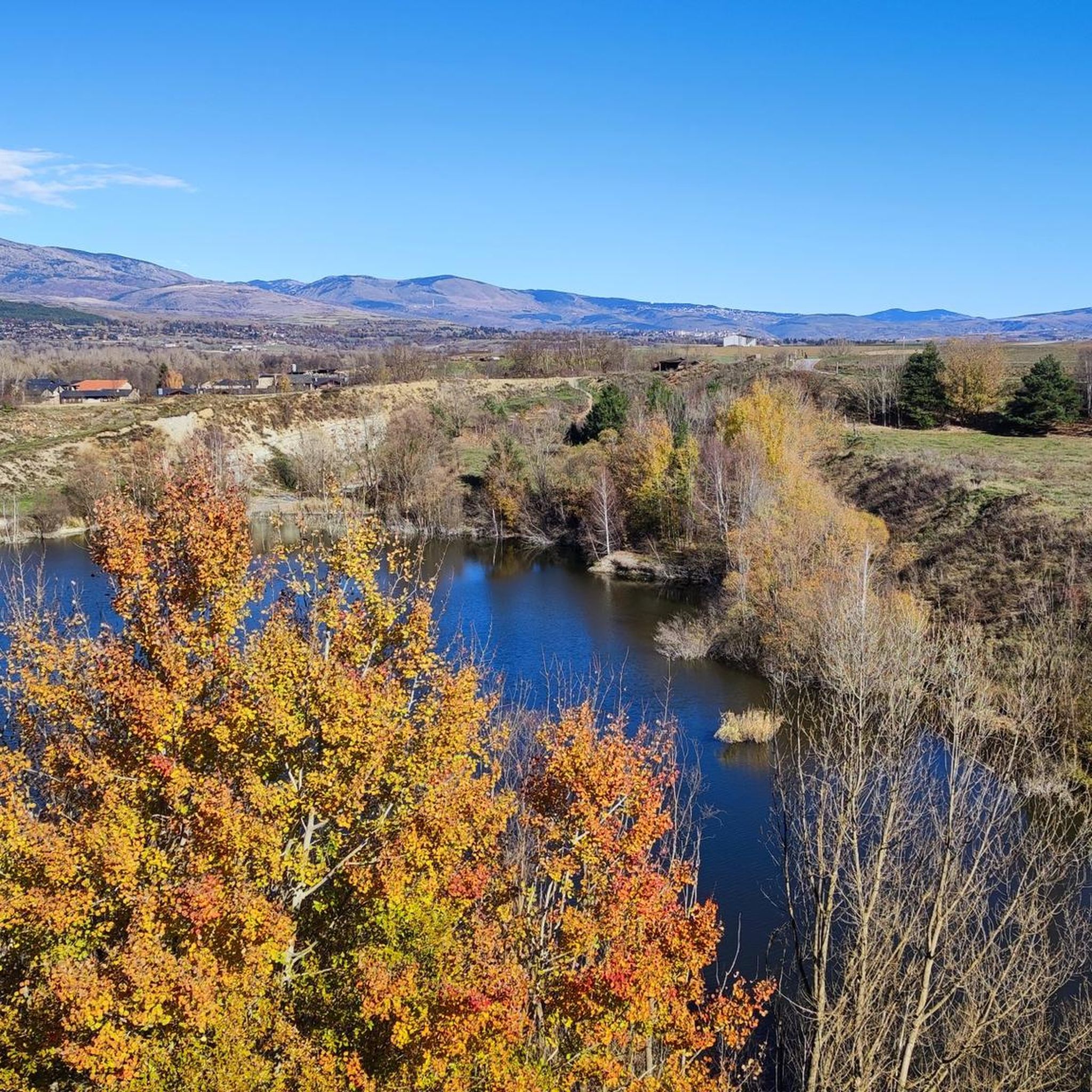
Running Trails around Das
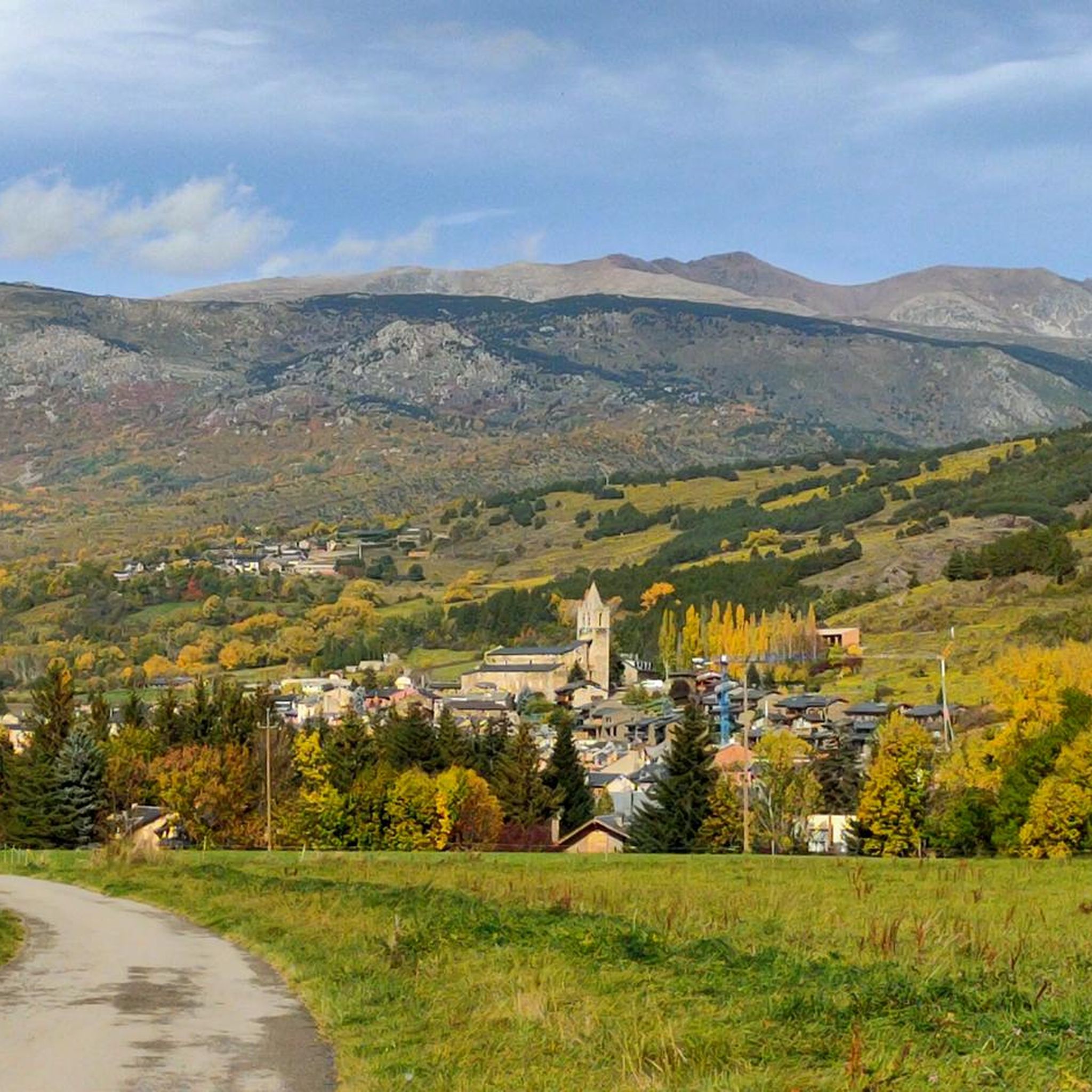
Running Trails around Llívia
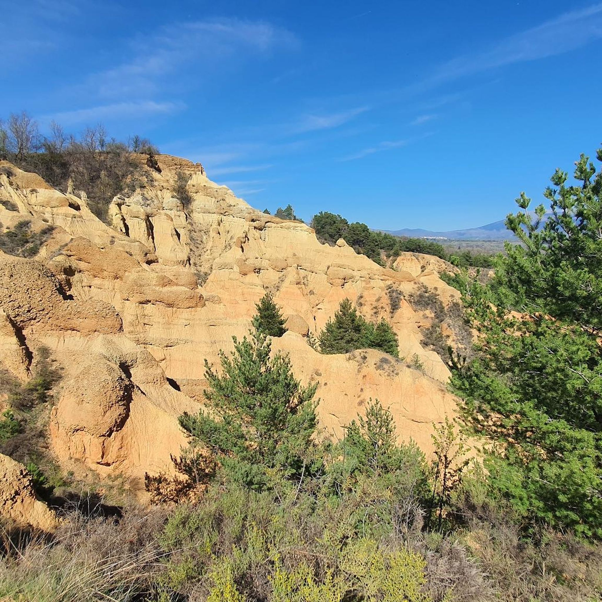
Running Trails around Isòvol
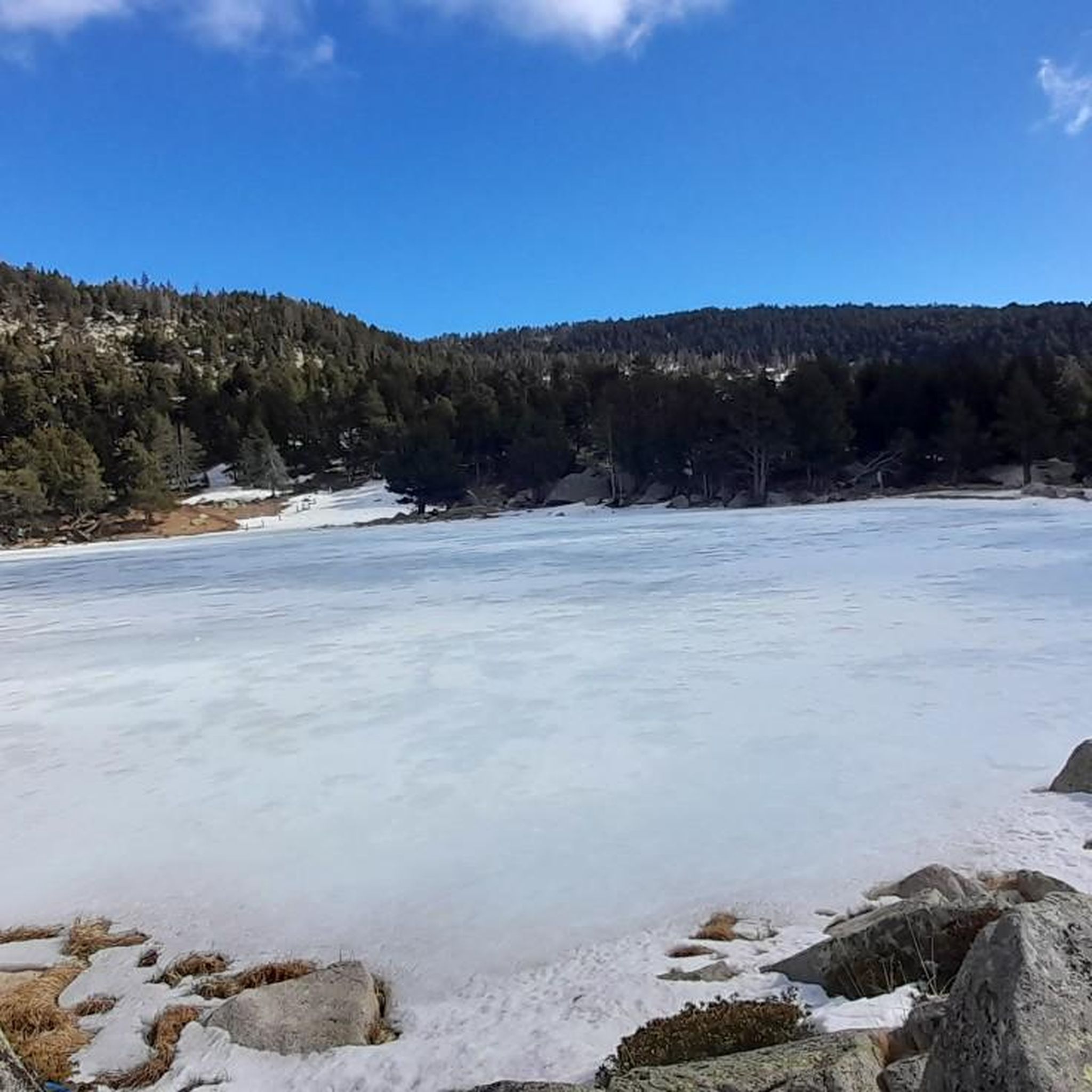
Running Trails around Meranges
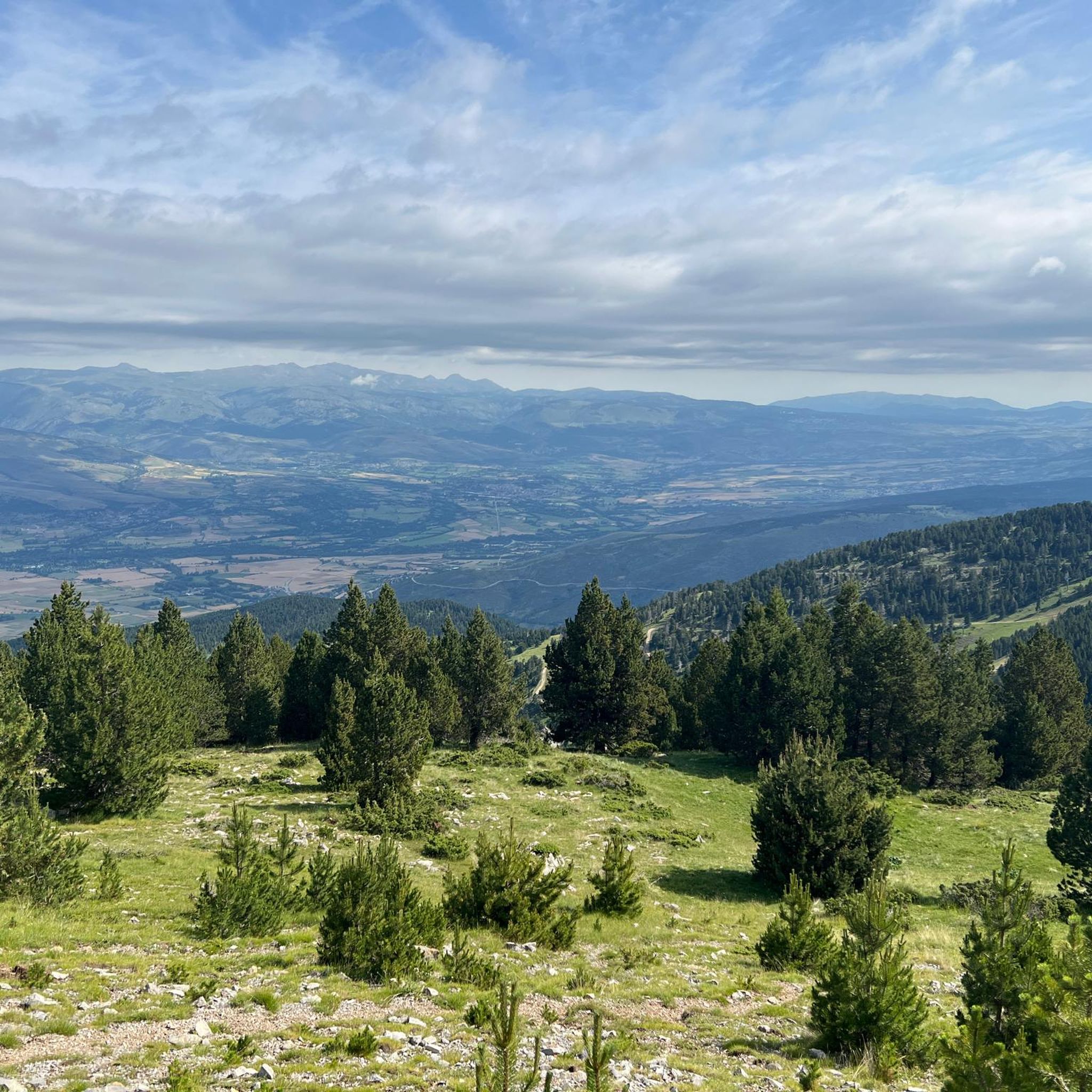
Running Trails around Urús
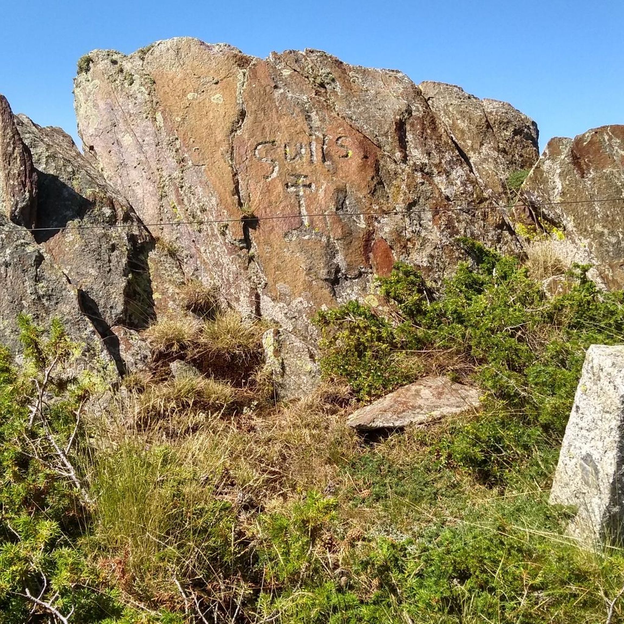
Running Trails around Guils De Cerdanya
Other adventures around Cerdanya


Tips from the Community

Masella - Niu - Coma Oriola - Niu - Masella. Controlant Z3 - Z4. De tranquis, sense apretar en cap moment, sumant desnivell. Molt bones sensacions.
0
0

Departure from Riu de Cerdanya. The climb to the Les Esposes refuge is steady, with gradients of around 8-9%. The route is fairly smooth for a mountain bike, although there are many rocks. The view from the top is superb, offering a view of the Cerdanya region on the Spanish side.
1
0

Easy to get here, choose your direction wisely...
1
0

The Niu de l'Àliga Refuge is located at an altitude of 2,500 meters at the top of Tosa d'Alp, in the municipality of Bagà. This refuge is an iconic building at the highest point of the La Molina ski resort and offers spectacular views of the Cerdanya valley, Ripollès, and Berguedà. It is a privileged spot to enjoy sunsets and moonlit nights. The refuge has capacity for 27 people and offers services such as a cable car, blankets, showers, mobile charging, Wi-Fi, a bar, and a restaurant.
5
0

Small but nice refuge on the “Cavalls del Vent” tour. I have rarely enjoyed such good hospitality!
1
0
Accommodation and catering options on the "Cavalls del Vent" tour. The building looks "sophisticated" from a distance, but it is a bit old and the hut itself is quite simple.
2
0
Very nice hut with absolutely warm staff. Good starting point for the multi-day tour "Cavalls del Vent" as you can leave your car close to the hut (parking on the mountain road).
1
0
Frequently Asked Questions
How many running routes are available in Cerdanya?
Cerdanya offers a vast network of over 220 running routes, catering to all levels of experience. You'll find everything from easy, flat paths to challenging mountain ascents across the valley.
What kind of terrain can I expect on Cerdanya's running trails?
The region boasts incredibly diverse terrain. You can expect wide, sunny valley paths, routes through varied woodlands including beech and boreal forests, and more challenging trails in the majestic Pyrenees mountains, including parts of the Cadí-Moixeró Natural Park. The landscape combines Mediterranean features with alpine meadows, ensuring a visually stimulating experience.
Are there easy running routes suitable for beginners in Cerdanya?
Yes, Cerdanya has plenty of easy running options. There are 16 routes specifically graded as easy, perfect for beginners or those looking for a relaxed run. Many of these follow the gentle paths of the wide Cerdanya Valley.
Are there challenging running routes for experienced runners in Cerdanya?
Absolutely. For experienced runners seeking a challenge, Cerdanya offers 94 difficult routes. These often involve significant elevation gain in the Pyrenees. A notable example is the Tosa d'Alp (2,535 m) – Niu de l'Àliga Refuge loop from Masella, which features substantial climbing.
What natural features or landmarks can I see while running in Cerdanya?
Cerdanya's routes are rich with natural beauty. You can run alongside the River Segre, discover picturesque lakes like Malniu Lake and Estanys de la Pera, or explore the diverse ecosystems of the Cadí-Moixeró Natural Park. Many trails offer stunning views of the Pyrenees peaks, including Puigpedrós Summit (2,911 m). You might also pass by mountain refuges like Niu de l'Àliga Refuge.
Are there any circular running routes in Cerdanya?
Yes, many of Cerdanya's running routes are circular, allowing you to start and finish in the same location. An example is the Torniquet Lake – Pond in Parque Cordomí loop from Puigcerdà, which offers scenic views around the capital town.
What do other runners say about the trails in Cerdanya?
The running routes in Cerdanya are highly rated by the komoot community, with an average score of 4.6 stars from over 30 reviews. Runners often praise the region's diverse scenery, from wide valleys to mountain peaks, and the extensive network of trails that cater to all abilities.
Are there family-friendly running routes in Cerdanya?
Yes, Cerdanya offers several routes suitable for families. Look for trails with minimal elevation gain and shorter distances, often found in the wider valley areas or around charming villages like Puigcerdà. These paths provide a great way to enjoy the outdoors together.
Can I bring my dog on the running trails in Cerdanya?
Many trails in Cerdanya are dog-friendly, especially those outside of protected natural park zones where specific rules might apply. It's always best to keep your dog on a leash, especially in areas with livestock or wildlife, and to check local regulations for specific routes within the Cadí-Moixeró Natural Park.
Is parking available near the trailheads in Cerdanya?
Parking is generally available in and around the villages and popular starting points for trails in Cerdanya. Towns like Puigcerdà and Bellver de Cerdanya offer parking facilities, and many trailheads have designated areas. It's advisable to check specific route details for parking information before you go.
How can I access running trails using public transport in Cerdanya?
Public transport options, including local buses, connect many of the villages in Cerdanya, which can serve as starting points for running routes. Puigcerdà, as the capital, is a central hub. For more remote trailheads, public transport might be limited, so planning ahead is recommended.
Are there places to eat or stay near the running routes in Cerdanya?
Yes, Cerdanya is well-equipped with amenities. Charming villages like Puigcerdà and Bellver de Cerdanya offer a variety of cafes, restaurants, and accommodation options. You'll also find mountain refuges, such as Malniu Mountain Hut, along some of the longer routes, providing a place to rest and refuel.
What is the best time of year for running in Cerdanya?
Cerdanya is excellent for running year-round, but the best time depends on your preference. Spring and autumn offer pleasant temperatures and vibrant scenery. Summer is ideal for higher-altitude trails, while winter provides opportunities for snowshoe running or enjoying the lower valley paths, often in sunny conditions due to the valley's orientation.
Most popular routes around Cerdanya
Most popular attractions around Cerdanya

Get inspired with the komoot mobile app


Didn’t find what you were looking for?
Check out more Running Trails & Routes throughout Cerdanya below and find the perfect route in your destination.
Explore more
Browse the best Running Trails & Routes in other regions.
