The best road cycling routes around Sanabria
4.9
(14)
1,104
riders
66
rides
Road cycling routes around Sanabria traverse a landscape shaped by glacial activity, featuring deep valleys, numerous lakes, and mountainous terrain. The region's topography ranges from the shores of Lake Sanabria to the foothills of the Segundera and Cabrera mountains, providing diverse elevation profiles. Cyclists can navigate through extensive oak forests and along river basins, including the Tera, which contribute to varied scenic experiences. This area offers a mix of challenging ascents and more moderate rides across its unique natural features.
…Last updated: October 10, 2026
5.0
(1)
112
riders
50.7km
02:47
990m
1,000m
Hard road ride. Very good fitness required. Mostly well-paved surfaces and easy to ride.
18
riders
106km
05:13
1,540m
1,540m
Hard road ride. Very good fitness required. Mostly well-paved surfaces and easy to ride.

12
riders
46.1km
02:14
650m
650m
Moderate road ride. Good fitness required. Mostly well-paved surfaces and easy to ride.
9
riders
79.0km
03:55
1,220m
1,220m
Hard road ride. Very good fitness required. You may need to push your bike for some segments of this route.
11
riders
58.9km
02:34
440m
440m
Moderate road ride. Good fitness required. Mostly well-paved surfaces and easy to ride.
8
riders
79.5km
03:58
1,250m
1,250m
Hard road ride. Very good fitness required. You may need to push your bike for some segments of this route.
5
riders
Moderate road ride. Good fitness required. Mostly well-paved surfaces and easy to ride.
1
riders
97.5km
05:01
1,690m
1,690m
Hard road ride. Very good fitness required. Mostly well-paved surfaces and easy to ride.
44.1km
02:36
1,020m
1,020m
Hard road ride. Very good fitness required. Mostly well-paved surfaces and easy to ride.
1
riders
Easy road ride. Great for any fitness level. Mostly well-paved surfaces and easy to ride.
Get access to more routes and recommendations from other explorers.
Already have an account?
Our route recommendations are based on thousands of hikes, rides, and runs completed by other people on komoot.
Start today with a free account
Your next adventure awaits.
Popular around Sanabria
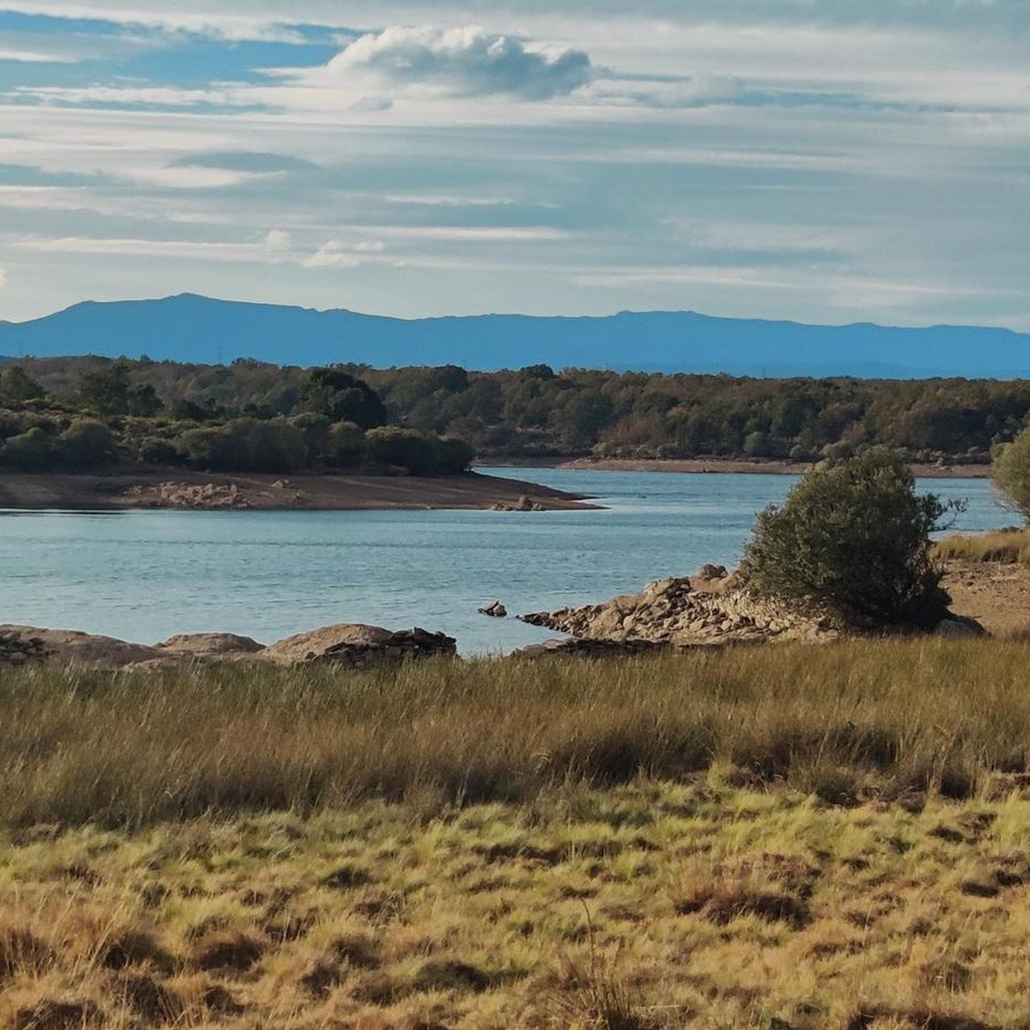
Road Cycling Routes around Villardeciervos
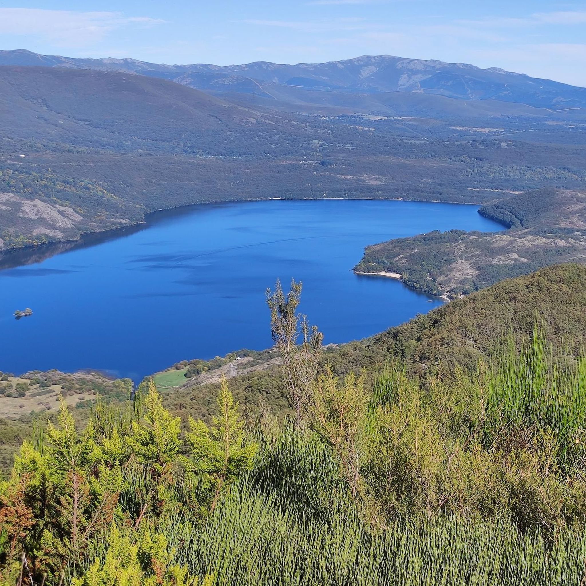
Road Cycling Routes around Requejo
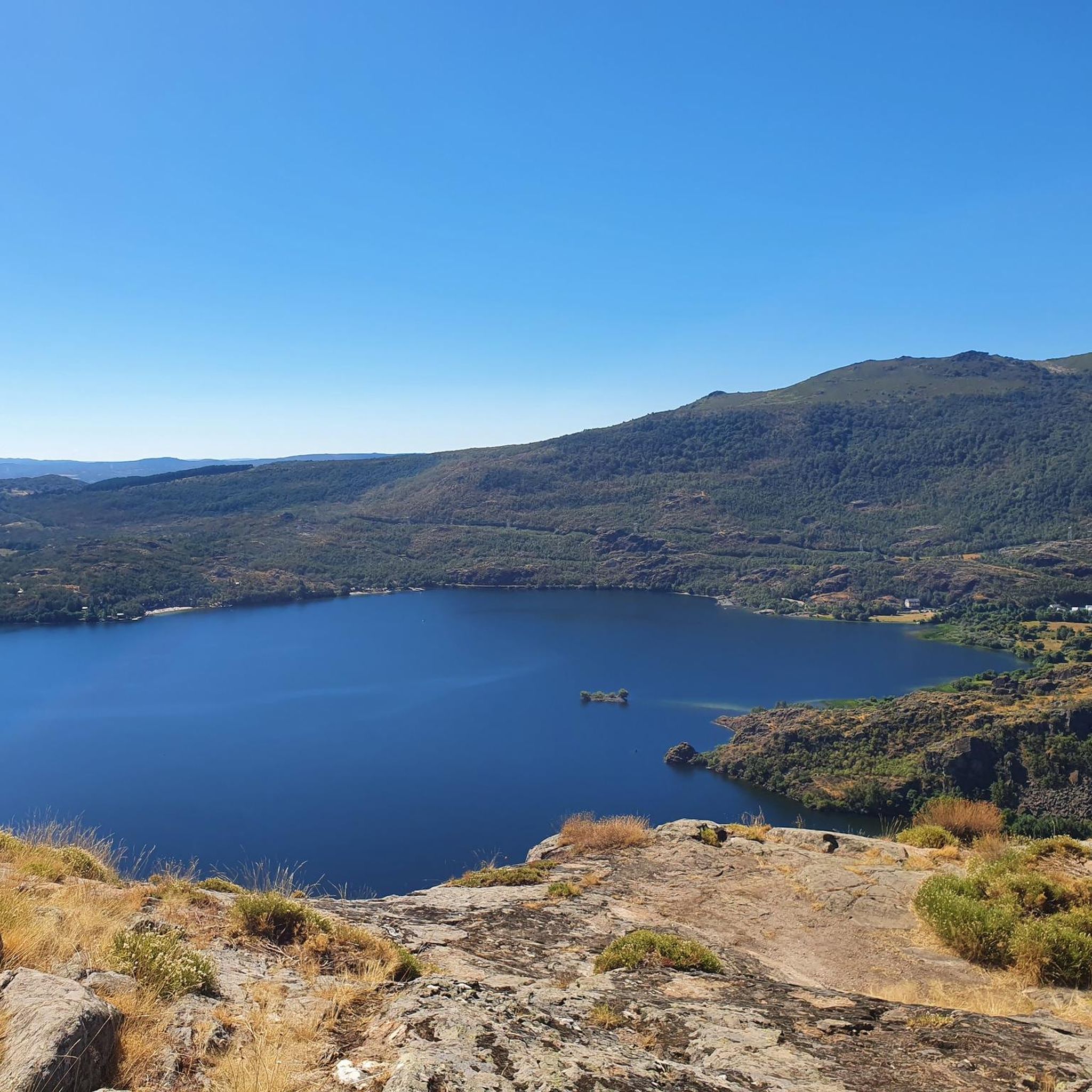
Road Cycling Routes around Robleda-Cervantes
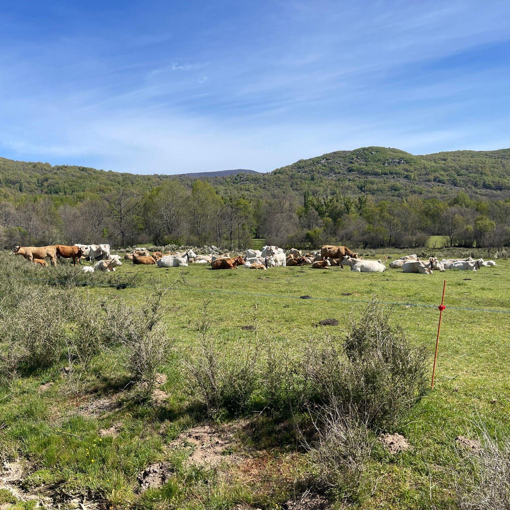
Road Cycling Routes around Cobreros
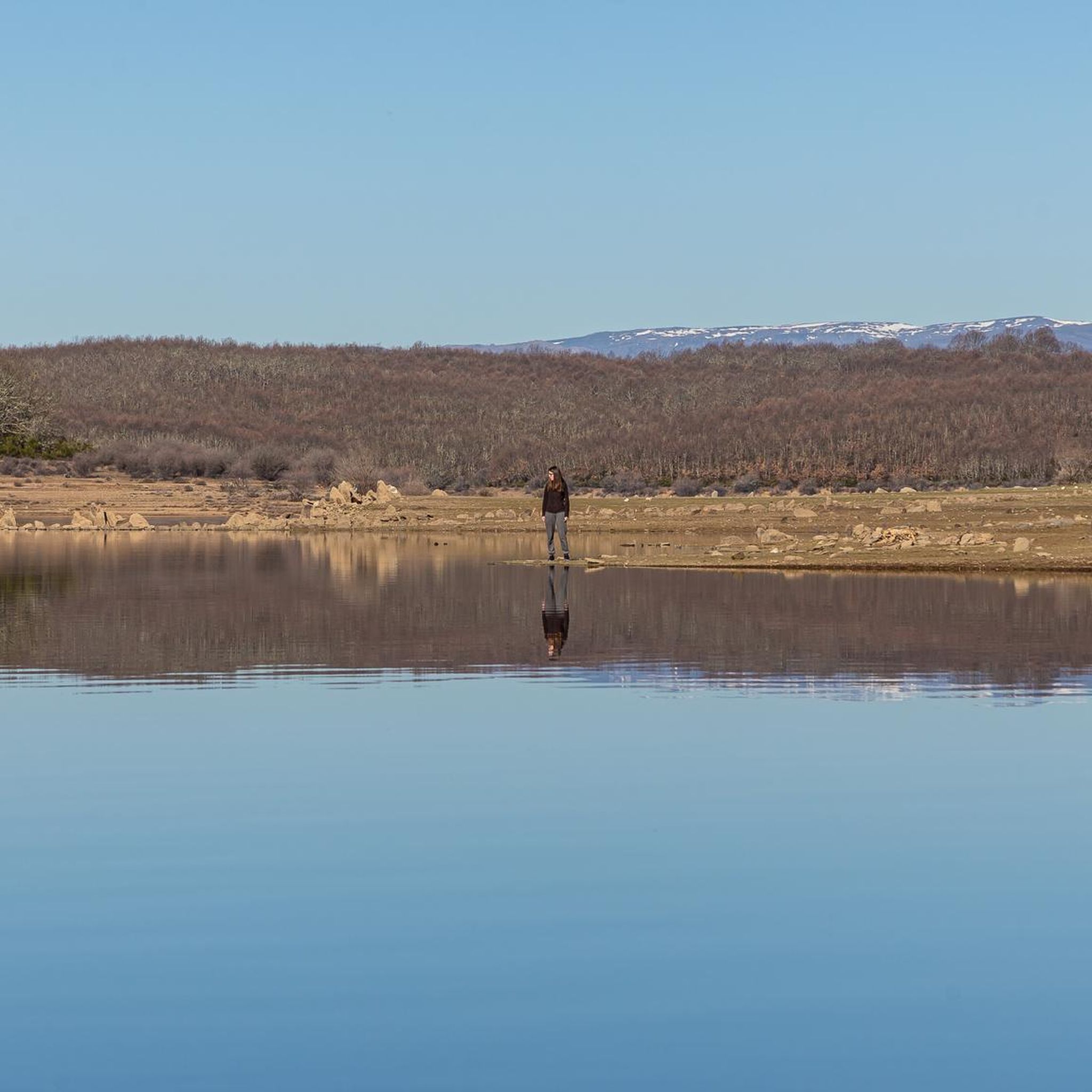
Road Cycling Routes around Cernadilla
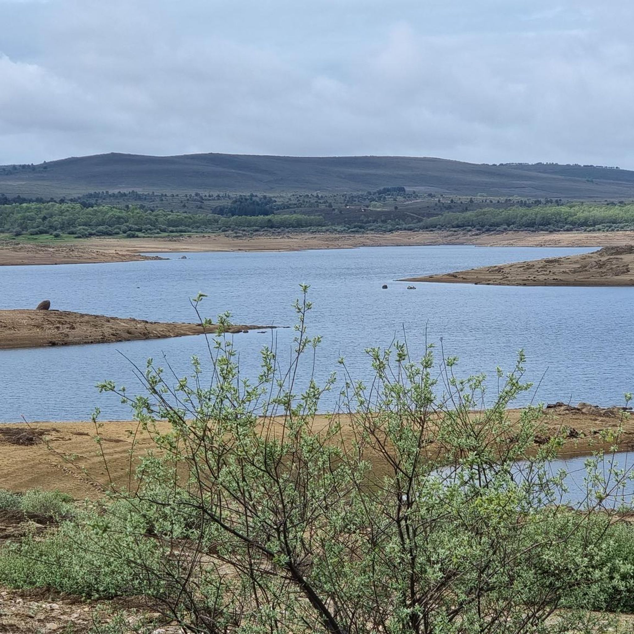
Road Cycling Routes around Manzanal De Arriba
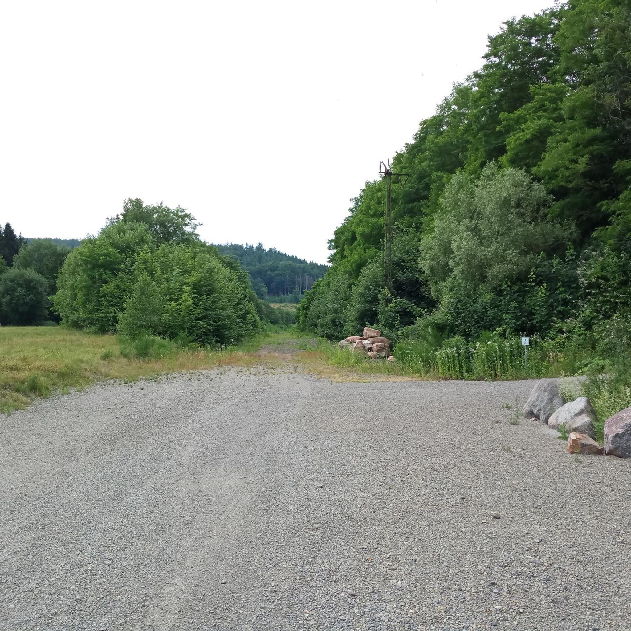
Road Cycling Routes around Otero De Bodas
Road Cycling Routes around Ferreras De Arriba
Road Cycling Routes around Pías
Road Cycling Routes around Manzanal De Los Infantes
Other adventures around Sanabria


Tips from the Community

The Portela da Canda Pass, also known as the Canda Pass or simply A Canda, is a mountain pass of great geographical, historical, and cultural value that connects Galicia (province of Ourense) with Castile and León (province of Zamora). Located in the Sierra Segundera mountain range, within the Galician Massif, it has traditionally been a crossing point for travelers, merchants, and pilgrims. It forms part of the Sanabrés Way of St. James, an extension of the Silver Route (Vía de la Plata), and is the entry point into Galicia for pilgrims coming from the south. The surrounding area features Jacobean sculptures and wayside crosses (cruceiros) that guide the route, the work of the artist Nicanor Carballo.
5
0

Rio de Onor is not just a beautiful village; it's a "living museum" of a way of life that has almost disappeared in Europe. It's worth visiting because it is possibly the village with the most fascinating social history in Portugal. Here are the 4 main reasons to go there: 1. It's a Community Village ("Communitarianism") This is Rio de Onor's great trademark. For centuries, the village lived under a system of total sharing among neighbors, something very rare: Sharing of Goods: The bread oven, the watermill, and even the village bull belonged to everyone. The "Rod of Justice": Decisions and fines for infractions in the village were marked on a wooden rod, managed by the "judge" elected by the people. You can see this history explained at the Casa do Touro (House of the Bull), a small, unmissable museum in the village. 2. One Village, Two Countries Rio de Onor is a village bisected by the international border. On this side is Rio de Onor (Portugal); on the other side is Rihonor de Castilla (Spain). For the inhabitants, the border never really existed: they share land, livestock, and even speak their own dialect (Rionorês), an ancient mixture of Portuguese and Castilian. It's very curious to cross from one country to the other on foot in the middle of the main street. 3. The Schist Landscape and Nature Located in the Montesinho Natural Park, the village is visually stunning. The houses are made of dark schist with wooden balconies, typical of Trás-os-Montes, and are very well preserved. The Onor River, which crosses the village, has clear waters and creates a very pleasant natural river beach in the summer, perfect for picnics. 4. The "Roman" Bridge The old stone bridge (which is actually from the 19th century, despite its popular name) is the village's postcard image. The reflection of the arches in the water with the schist houses in the background creates one of the most photogenic landscapes in Northern Portugal. Visiting Rio de Onor is like stepping back in time and understanding how communities survived in isolation in the mountains, supporting each other. It's a lesson in life and history in an incredible natural setting.
2
0

Rio de Onor is a sleepy little village right on the Portugal/Spain border. The drive through it is a challenging one and absolutely not recommended for larger campervans.
3
1

Rio de Onor is one of the most emblematic villages in Bragança and the Montesinho Natural Park, and was elected the 7th Wonder of Portugal in 2017 – a village in a protected area. Crossing the border with Spain, on one side is Rio de Onor, and on the other, Rihonor de Castilla, which is why it is said to be “one village, two countries”!
5
0

Striking border town, half in Spain called Riohonor and half in Portugal, Río de Onor. At the exit on the Portuguese side there is a campsite with a bar
3
0

Picturesque border town on the banks of the Oñar River. The views from the Ponte de Rio de Onor are magical.
3
0

Although the current name of this town is much clearer than that of its neighbor Castrocalbón, it is interesting to know that the origin of Castrocontrigo is in the primitive city of Aria, which was the one that gave its name to the Aria/Eria river, which crosses the municipality. , and in turn to the entire Valle del Aria, which ended up being known as Valdería.
2
0
Manzanal de Arriba is a small mountain town located at an altitude of 900 meters above sea level and located within the natural area of the Sierra de la Culebra natural hunting reserve. The area has been inhabited since the time of the Celts, as evidenced by the remains of stone settlements on the surrounding hills.
1
0
Frequently Asked Questions
How many road cycling routes are available in Sanabria?
Sanabria offers a wide selection of road cycling routes, with over 50 different tours to explore. These routes cater to various skill levels, from easy rides to challenging ascents through the region's glacial landscapes.
Are there road cycling routes suitable for beginners in Sanabria?
Yes, Sanabria has a few road cycling routes suitable for beginners. These routes typically feature less elevation gain and cover shorter distances, allowing new cyclists to enjoy the scenic beauty without excessive challenge. For example, the route From Ferreras de Arriba to Ferreras de Abajo — circular from Villardeciervos is an easy option.
What kind of challenges can advanced road cyclists expect in Sanabria?
Advanced road cyclists in Sanabria can expect significant elevation changes and long distances, often traversing mountainous terrain shaped by glacial activity. Routes like Palacios de Sanabria – tour around Eriá river and Truchas – Alto Peñón, which covers over 100 km with substantial climbing, offer demanding rides through river valleys and towards higher points, including peaks up to 2,127 meters.
What natural features can I expect to see along road cycling routes in Sanabria?
Road cycling routes in Sanabria showcase a diverse array of natural features, including the largest glacial lake in the Iberian Peninsula, Lake Sanabria. You'll also encounter deep valleys, extensive oak forests, and river basins like the Tera. Many routes offer stunning views of glacial lakes such as Laguna de los Peces and various viewpoints like the Viewpoint of Lake Sanabria.
Are there any charming villages or historical sites to visit while road cycling in Sanabria?
Yes, Sanabria is home to charming villages and historical sites that can enhance your cycling trip. Puebla de Sanabria, considered one of Spain's most beautiful villages, features a medieval city center and a 15th-century castle. Other villages like San Martín de Castañeda offer traditional architecture and historic sites, such as a Visigothic-origin monastery. Routes like Puebla de Sanabria, Galende, and Trefacio Loop pass through some of these picturesque locations.
Are there many circular road cycling routes in Sanabria?
Sanabria offers several excellent circular road cycling routes, allowing you to start and end your ride in the same location. Examples include the challenging Laguna de los Peces and Lake Sanabria Circuit, or the more moderate Valparaíso and Cernadilla Reservoirs Loop, which takes you through reservoir areas and surrounding hills.
What do other road cyclists enjoy the most about road cycling in Sanabria?
The road cycling experience in Sanabria is highly rated by the komoot community, with an average score of 5.0 stars. Reviewers often praise the region's unique glacial landscapes, the variety of terrain from lakeside rides to mountain ascents, and the immersive natural and cultural experiences offered by its extensive forests and historical villages.
Are there any routes that offer panoramic viewpoints of Lake Sanabria?
Absolutely. Many routes in Sanabria provide breathtaking panoramic views, especially of Lake Sanabria and the surrounding mountains. The Laguna de los Peces and Lake Sanabria Circuit offers stunning vistas, and you can also visit specific highlights like the Viewpoint of Lake Sanabria for exceptional photo opportunities.
Can I find routes that pass by reservoirs in Sanabria?
Yes, Sanabria's road cycling network includes routes that take you past beautiful reservoirs. The Valparaíso and Cernadilla Reservoirs Loop is a prime example, leading you through scenic reservoir areas and their surrounding hills. Another option is the Embalse de Cernadilla y Sierra de la Culebra — circular por Puebla de Sanabria.
Are there any road cycling routes that explore the region's forests?
Many road cycling routes in Sanabria wind through its lush forests, primarily oak, interspersed with alders, birches, and other native trees. These routes provide shaded and picturesque sections, offering a refreshing experience. The region's extensive woodlands are a defining characteristic of its natural beauty, particularly along river basins.
What is the typical elevation profile for road cycling in Sanabria?
Road cycling in Sanabria is characterized by a varied elevation profile due to its glacial origin. You can expect routes ranging from relatively flat sections near Lake Sanabria to significant climbs in the foothills of the Segundera and Cabrera mountains. Many routes feature substantial elevation gains, with some difficult tours accumulating over 1,500 meters of ascent.
Are there any routes that take me to higher mountain passes?
Yes, for cyclists seeking challenging climbs and high-altitude experiences, Sanabria offers routes that ascend to mountain passes. The region's topography, with peaks like Peña Trevinca reaching 2,127 meters, provides opportunities for demanding ascents and rewarding views. Routes such as Alto do Ladiairo and Hermisende Loop feature significant climbs.
Most popular routes around Sanabria
Most popular attractions around Sanabria

Get inspired with the komoot mobile app


Didn’t find what you were looking for?
Check out more Road cycling routes throughout Sanabria below and find the perfect route in your destination.
Explore more
Browse the best Road cycling routes in other regions.
