The best running trails around Burgo De Osma
3.0
(3)
377
runners
36
runs
Jogging routes around Burgo De Osma traverse a landscape characterized by the confluence of the Ucero and Abión rivers, offering diverse terrain for runners. The region features river valleys, gentle hills, and the dramatic Cañón del Río Lobos Natural Park nearby. Paths often follow riverbanks or lead through areas with views of historic sites like Osma Castle.
Best jogging routes around Burgo De Osma
- The most popular jogging route is Gullurías Trail, a 6.4 miles (10.3 km) trail that…
Last updated: October 10, 2026
4.0
(1)
18
runners
10.3km
01:21
190m
200m
Hard run. Good fitness required. Sure-footedness, sturdy shoes and alpine experience required.
12
runners
9.87km
01:12
120m
120m
Moderate run. Good fitness required. Mostly paved surfaces. Suitable for all skill levels.

8.02km
00:55
70m
70m
Moderate run. Good fitness required. Mostly paved surfaces. Suitable for all skill levels.
23
runners
7.96km
00:58
80m
80m
Moderate run. Good fitness required. Mostly paved surfaces. Suitable for all skill levels.
21
runners
Hard run. Very good fitness required. Mostly paved surfaces. Suitable for all skill levels.
10
runners
7.92km
00:50
20m
20m
Moderate run. Good fitness required. Mostly paved surfaces. Suitable for all skill levels.
10
runners
12.9km
01:30
120m
120m
Moderate run. Good fitness required. Mostly paved surfaces. Suitable for all skill levels.
3
runners
7.69km
00:55
100m
100m
Moderate run. Good fitness required. Mostly paved surfaces. Suitable for all skill levels.
7
runners
11.3km
01:12
20m
20m
Moderate run. Good fitness required. Mostly paved surfaces. Suitable for all skill levels.
4
runners
Moderate run. Good fitness required. Mostly paved surfaces. Suitable for all skill levels.
Get access to more routes and recommendations from other explorers.
Already have an account?
Our route recommendations are based on thousands of hikes, rides, and runs completed by other people on komoot.
Start today with a free account
Your next adventure awaits.
Popular around Burgo De Osma
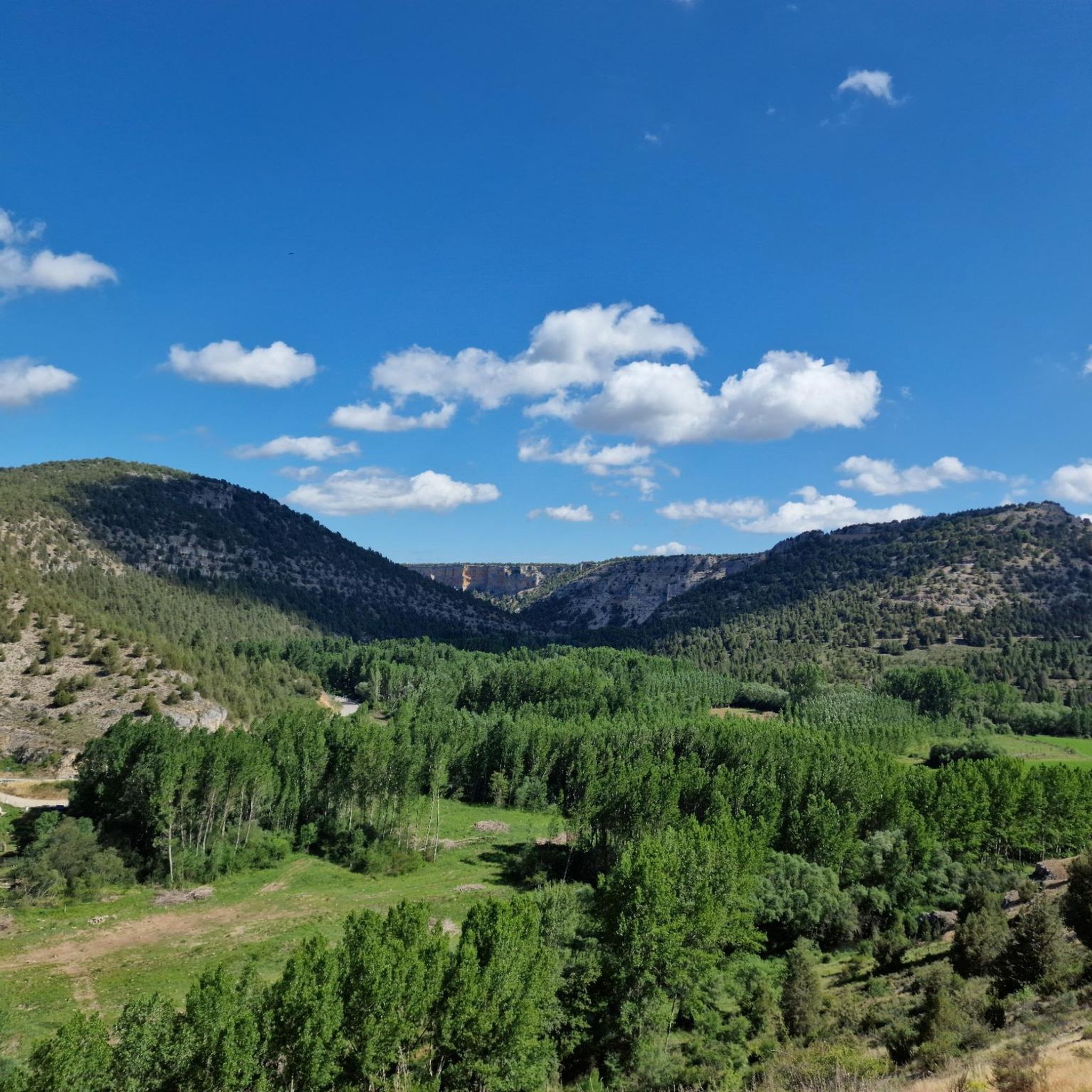
Running Trails around Valdemaluque
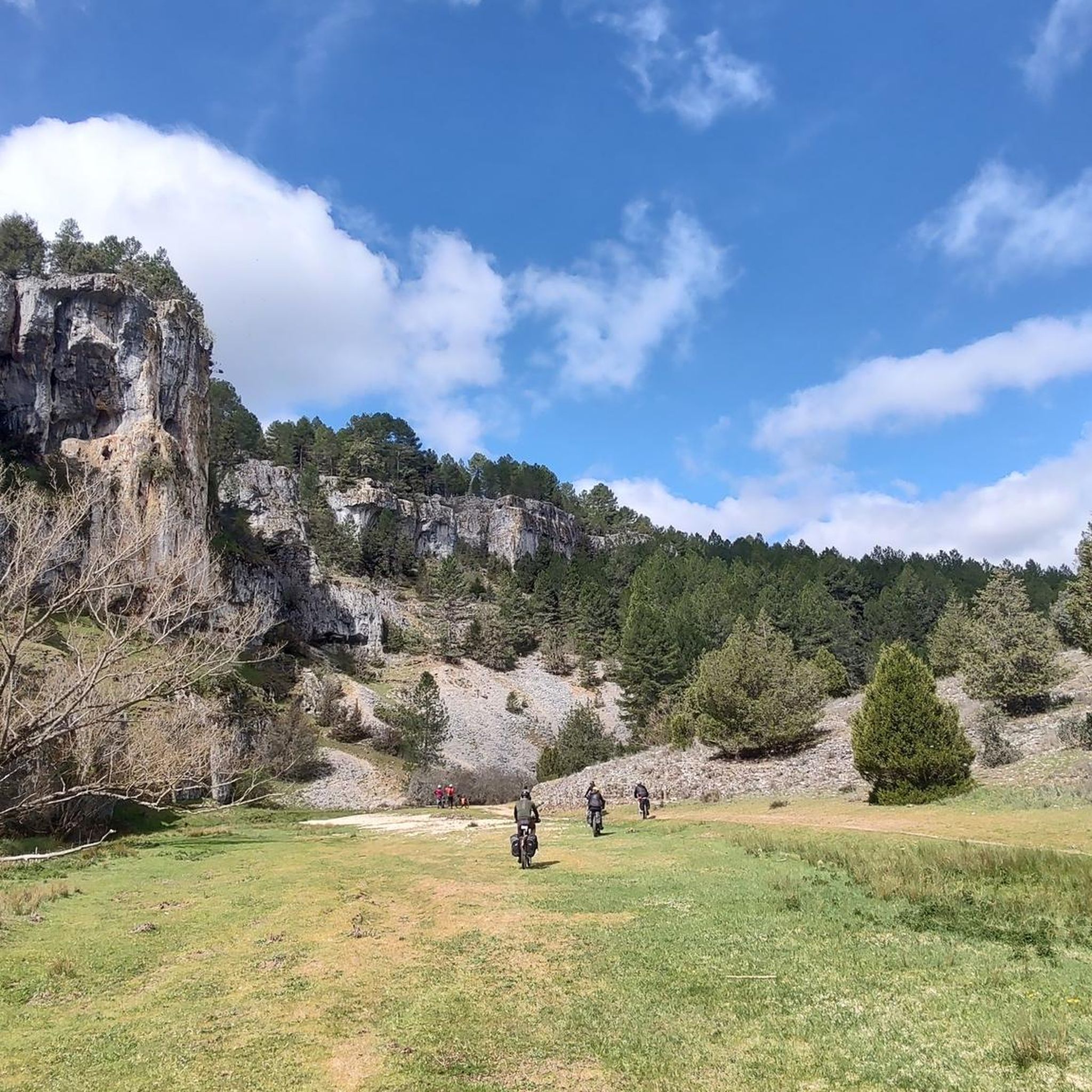
Running Trails around Santa María De Las Hoyas
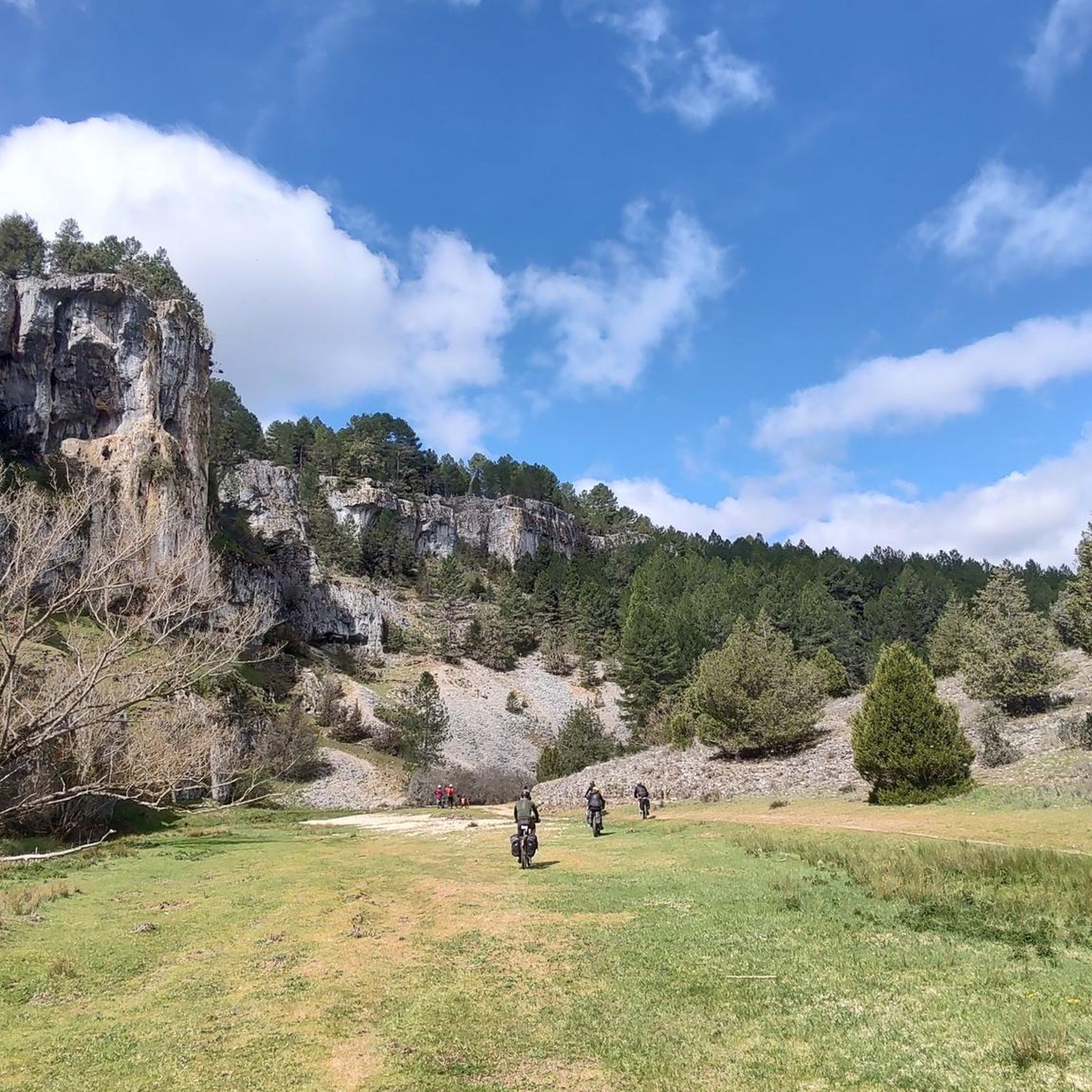
Running Trails in Cañón Del Río Lobos
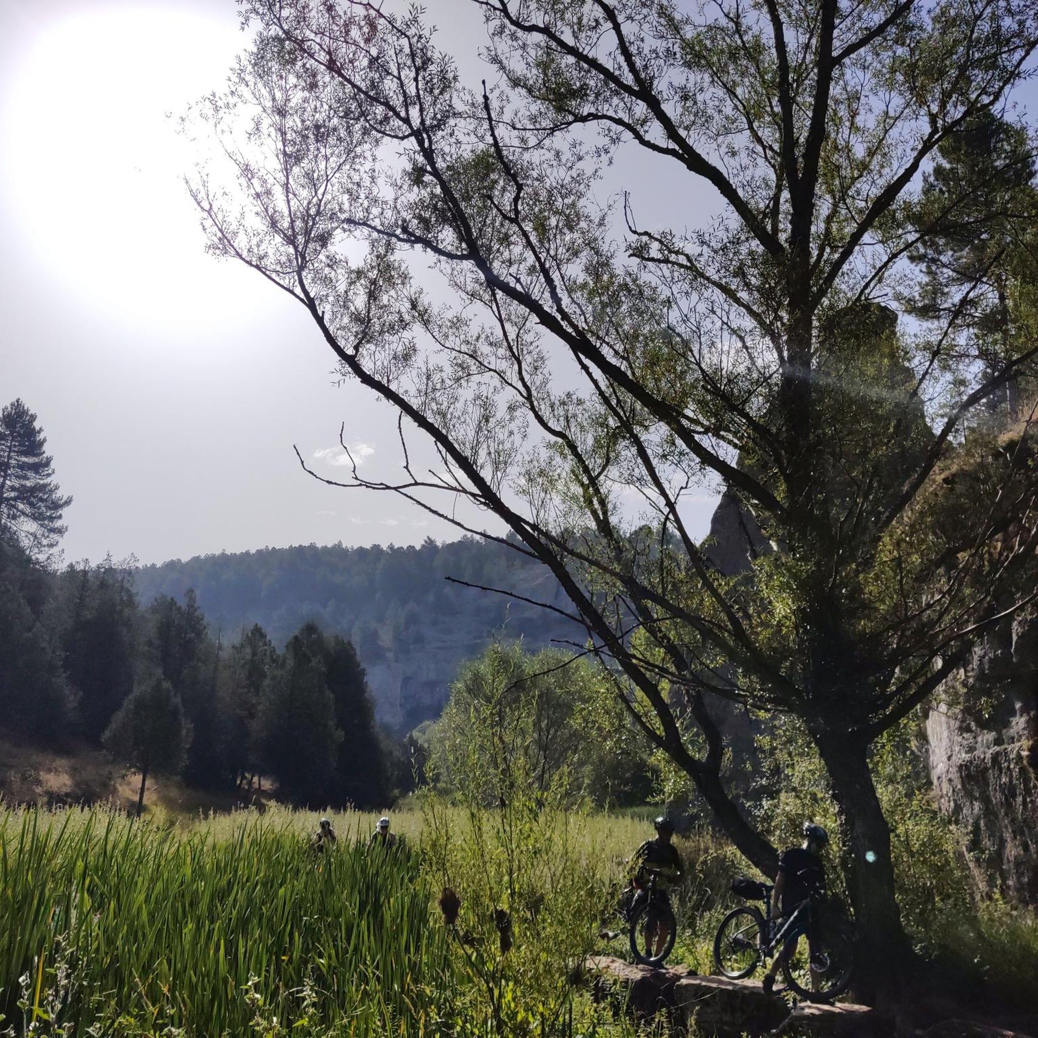
Running Trails around Nafría De Ucero
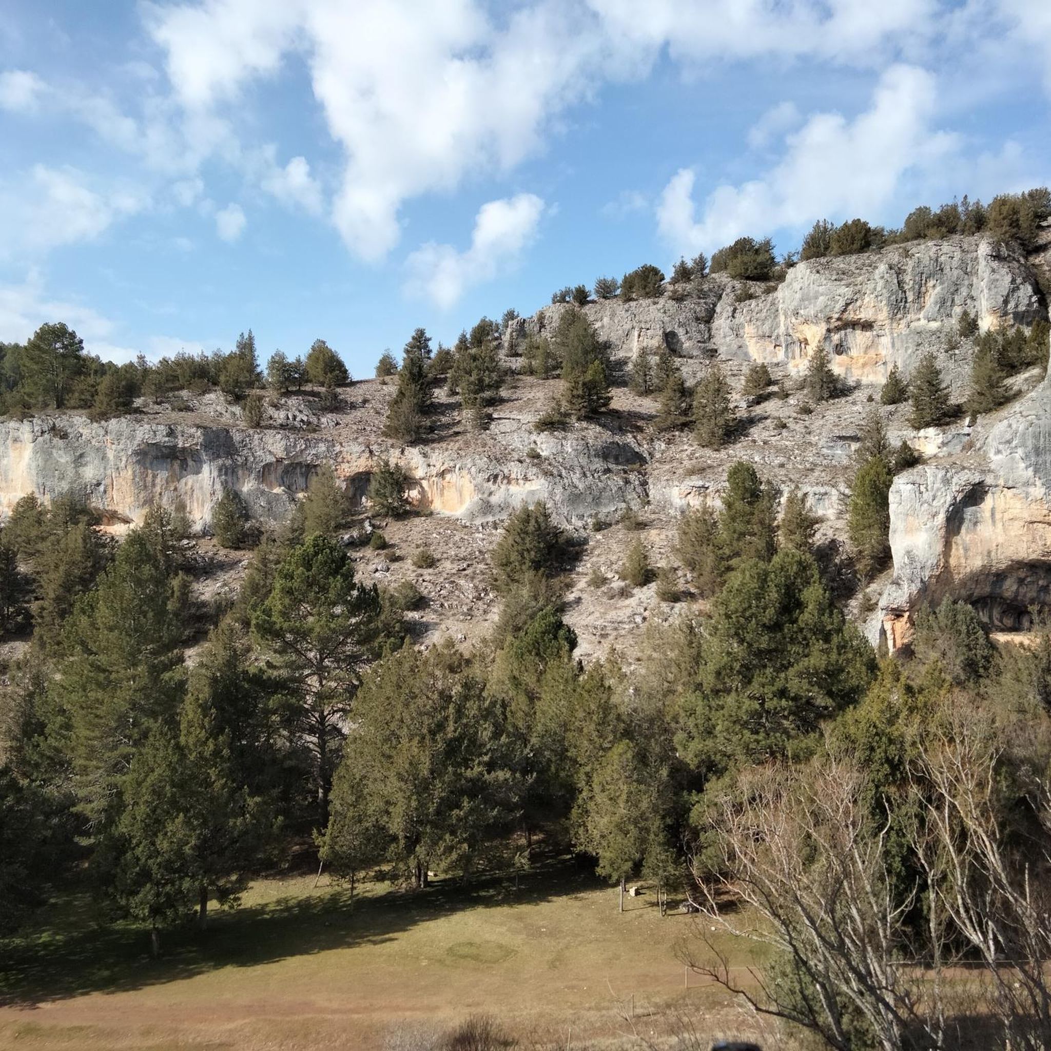
Running Trails around Comunidad de Herrera de Soria Nafría de Ucero y Ucero
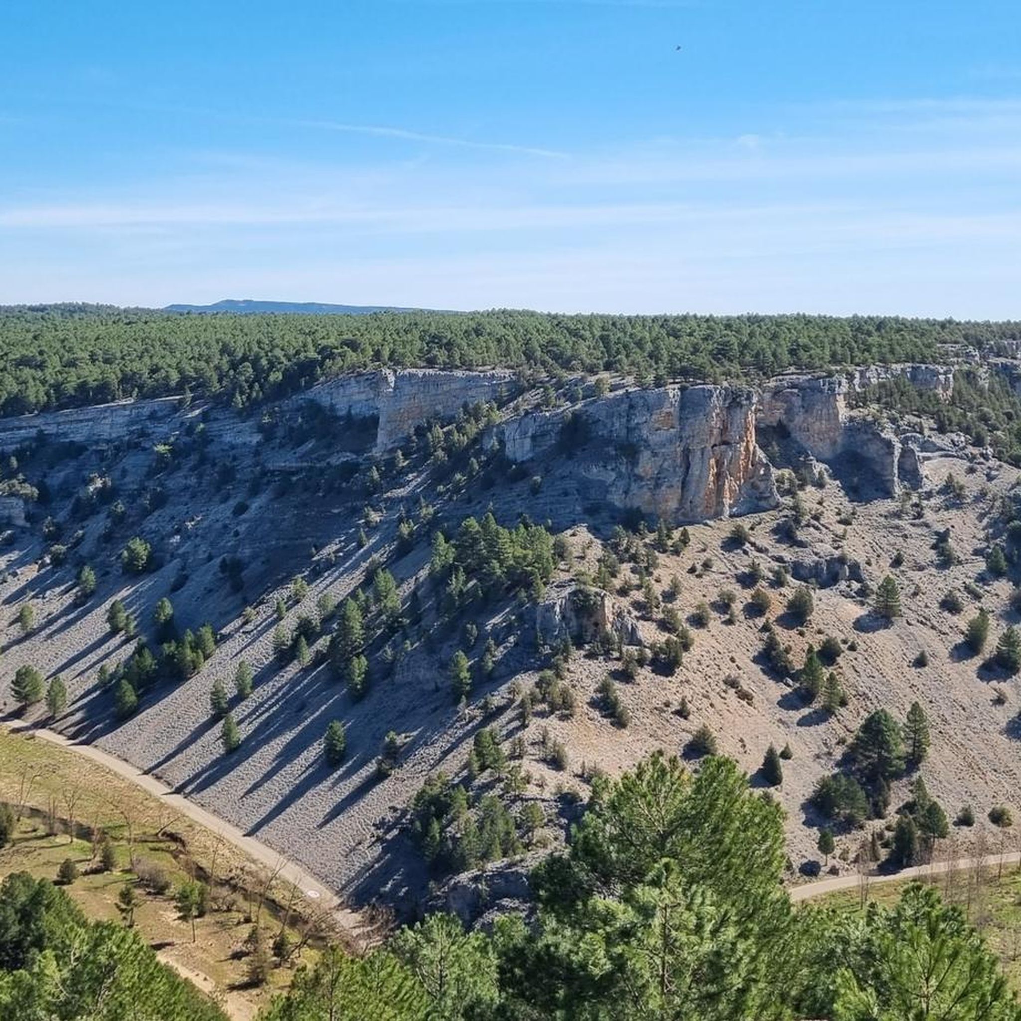
Running Trails around Ucero

Running Trails around Castillejo De Robledo
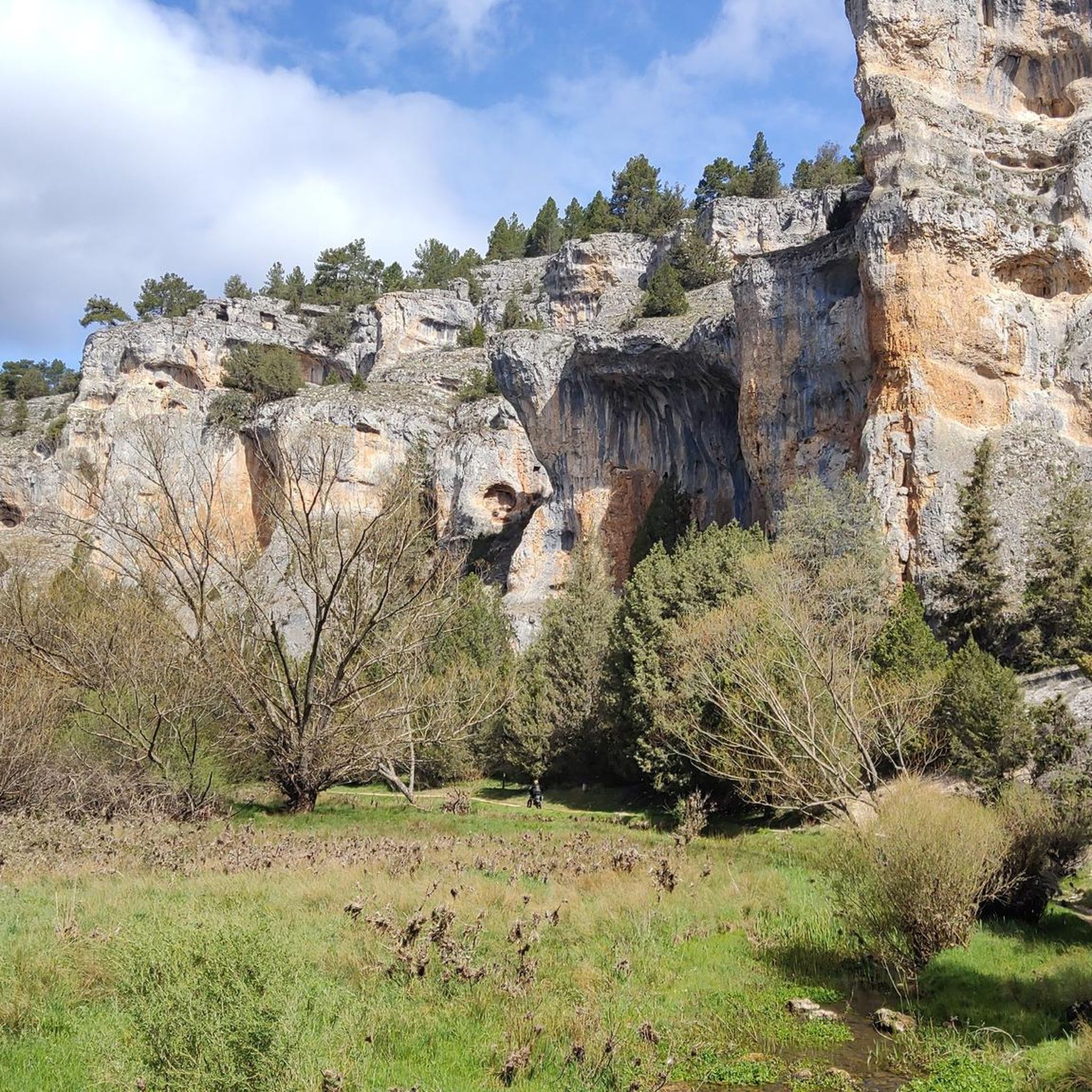
Running Trails around Fuentearmegil
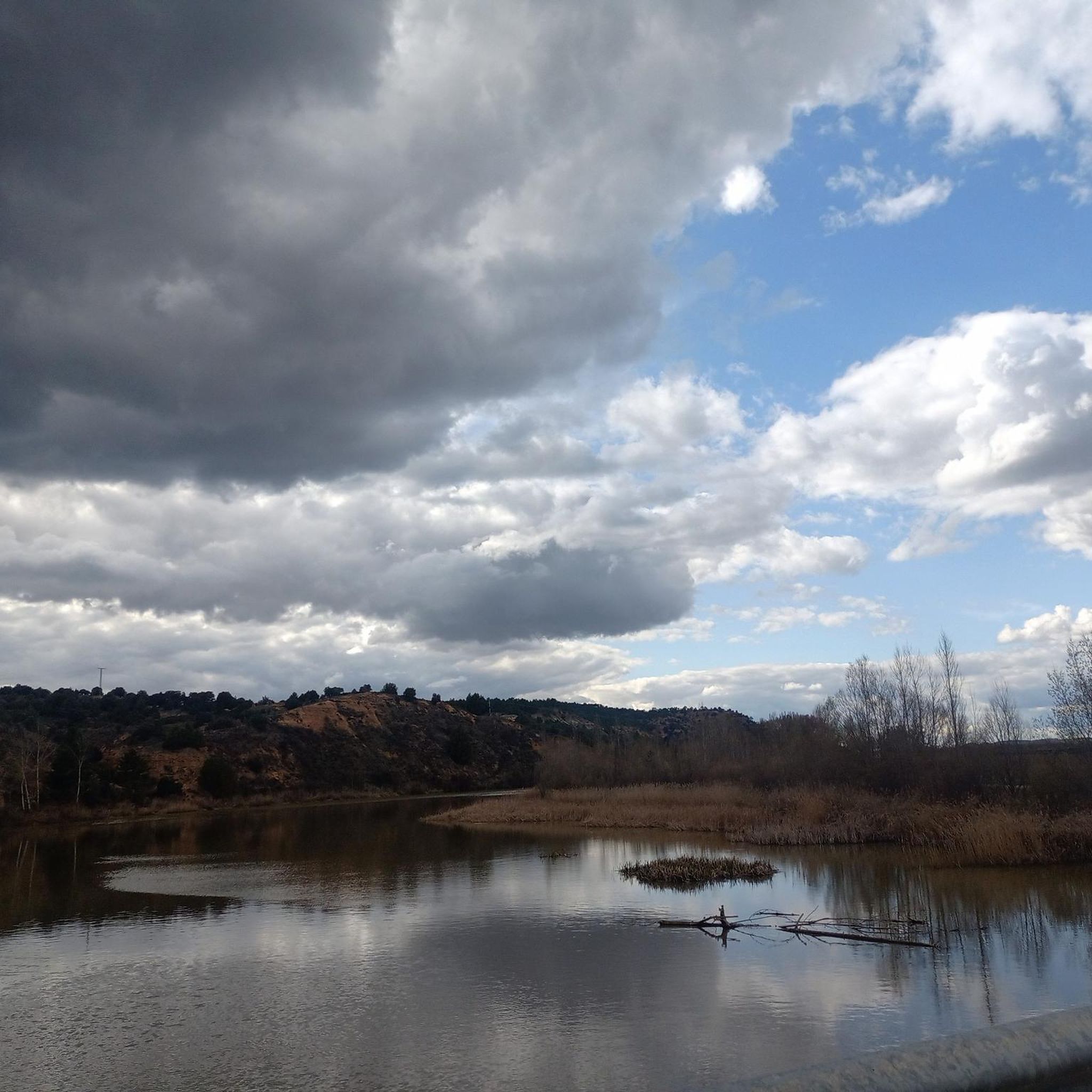
Running Trails around Langa De Duero
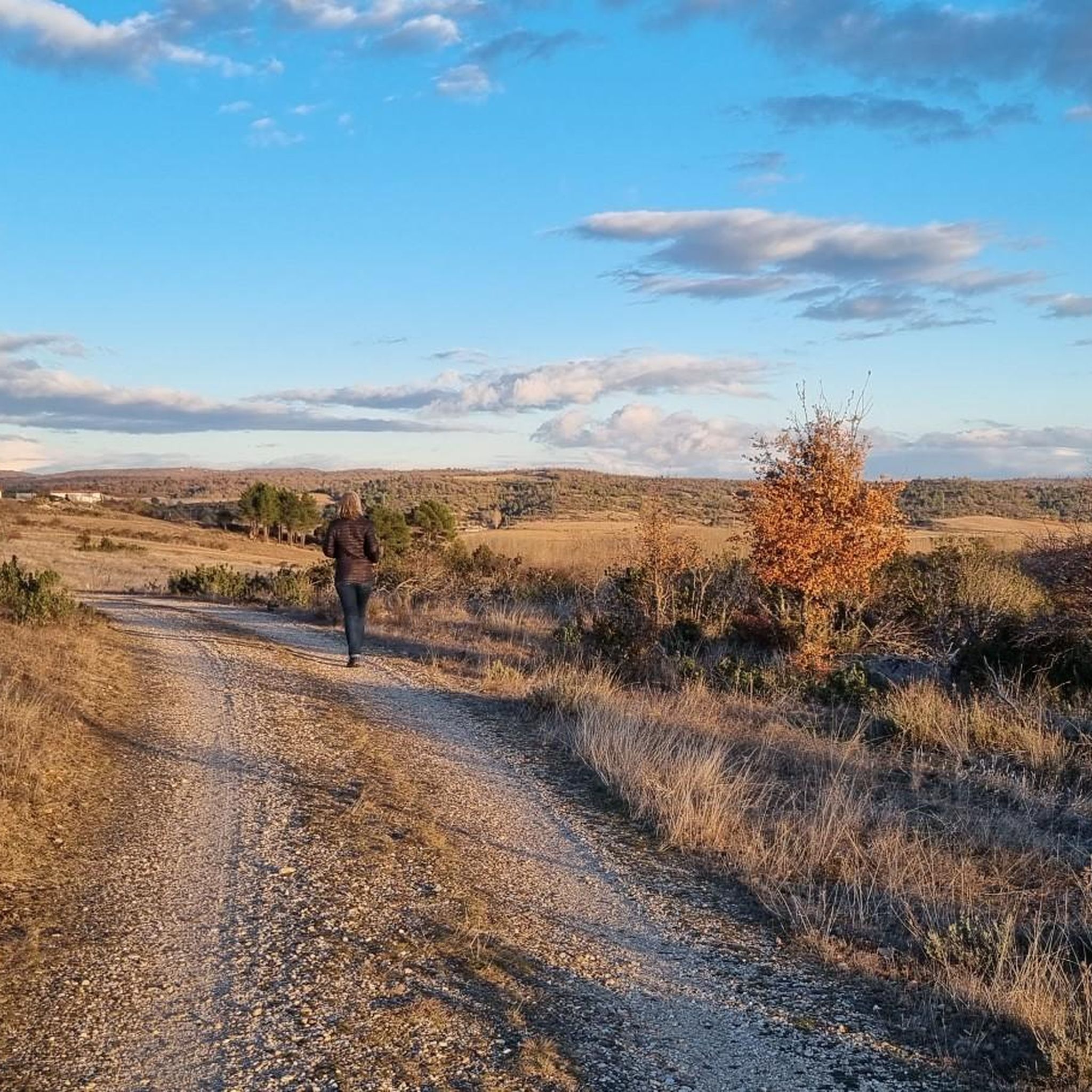
Running Trails around Burgo De Osma-Ciudad De Osma
Other adventures around Burgo De Osma


Tips from the Community

A town with a lot of well-preserved history. It is a joy to visit!
0
0

The watchtower of Quintanilla de tres Barrios dates from the 10th century and is part of a defensive line that overlooked the Duero valley, a border between Muslims and Christians at that time. It was visually connected with other surrounding ones. It is very well preserved and can be visited freely.
0
0

Spectacular area for hiking routes
0
0
Spectacular area for hiking routes
0
0
Spectacular area for hiking routes
0
0
Spectacular area for hiking routes
0
0
A magical place, surrounded by nature
0
0
Frequently Asked Questions
How many running routes are available around Burgo De Osma?
There are over 20 dedicated running routes around Burgo De Osma, offering a variety of distances and difficulty levels to suit different preferences.
Are there any easy or beginner-friendly running routes in the area?
Yes, for those looking for a gentle run, there is an easy running loop from El Burgo de Osma. The region also features many short walks with little unevenness, particularly along the Ucero and Abión rivers, which are perfect for a refreshing jog.
What kind of scenery can I expect on the running trails near Burgo De Osma?
The running routes offer diverse scenery, from peaceful river valleys along the Ucero and Abión rivers to the dramatic rocky cliffs and caves of the nearby Cañón del Río Lobos Natural Park. You'll also find paths with views of historic sites like Osma Castle and the medieval town surroundings.
Are there any running routes that pass by historical landmarks or points of interest?
Many routes incorporate the rich history of the area. For instance, the El Burgo de Osma – View of Osma Castle loop offers views of the historic castle. You can also find routes near the ancient Roman bridge over the Ucero River, or explore the surroundings of the Hermitage of Saint Bartholomew within the Cañón del Río Lobos.
Are there any circular running routes around Burgo De Osma?
Yes, several routes are designed as loops. A popular option is the Way of the Cid: Castillejo de Robledo Loop, which takes you through varied rural landscapes. Another is the El Burgo de Osma – View of Osma Castle loop.
Can I find running routes that are suitable for families with children?
While specific 'family-friendly' routes aren't explicitly categorized, the region offers many 'short walks, with little unevenness and without difficulties' around Burgo de Osma, particularly along the riverbanks. These easy paths are generally suitable for families looking for a gentle jog or stroll.
Are there any challenging or advanced running trails for experienced runners?
Yes, for experienced runners seeking a challenge, there are several difficult routes. The Gullurías Trail is a difficult 6.4-mile route with notable elevation changes, offering views towards the Cañón del Río Lobos. Another challenging option is the longer Río Lobos – Hermitage of Saint Bartholomew loop.
What do other runners say about the jogging routes in Burgo De Osma?
The running routes in Burgo De Osma are highly rated by the komoot community, with an average score of 3.3 stars. Over 300 runners have explored the varied terrain, often praising the scenic river valleys and the unique blend of natural beauty with historic surroundings.
Are there any running routes that offer panoramic views?
Absolutely. The Gullurías Trail provides excellent views towards the Cañón del Río Lobos. Within the Cañón del Río Lobos Natural Park, the Gullurías Viewpoint itself offers panoramic vistas of the Soria and Burgos pine forests and the peaks of the Iberian System.
Can I find running routes near water features like rivers or lakes?
Yes, the region is defined by the confluence of the Ucero and Abión rivers, so many routes follow their banks. You can also find routes near lakes such as the Vildé Reservoir or El Pozo Perín, offering refreshing scenery for your run.
Are there any specific routes that highlight the Gorge of the River Abión?
Yes, the Río Abión Gorge and La Pedriza Trail is a moderate 6.1-mile path that specifically winds through the scenic Gorge of the River Abión, offering a beautiful and engaging running experience.
What is the best time of year for jogging in Burgo De Osma?
Burgo De Osma offers pleasant conditions for jogging for much of the year. Spring and autumn generally provide mild temperatures and beautiful scenery. Summer mornings and evenings are also ideal to avoid the midday heat, while winter can offer crisp, clear runs, especially on the well-maintained paths.
Most popular routes around Burgo De Osma
Most popular attractions around Burgo De Osma

Get inspired with the komoot mobile app


Didn’t find what you were looking for?
Check out more Running Trails & Routes throughout Burgo De Osma below and find the perfect route in your destination.
Explore more
Browse the best Running Trails & Routes in other regions.
