The best walks and hikes around Sierra Segura
4.6
(538)
3,871
hikers
78
hikes
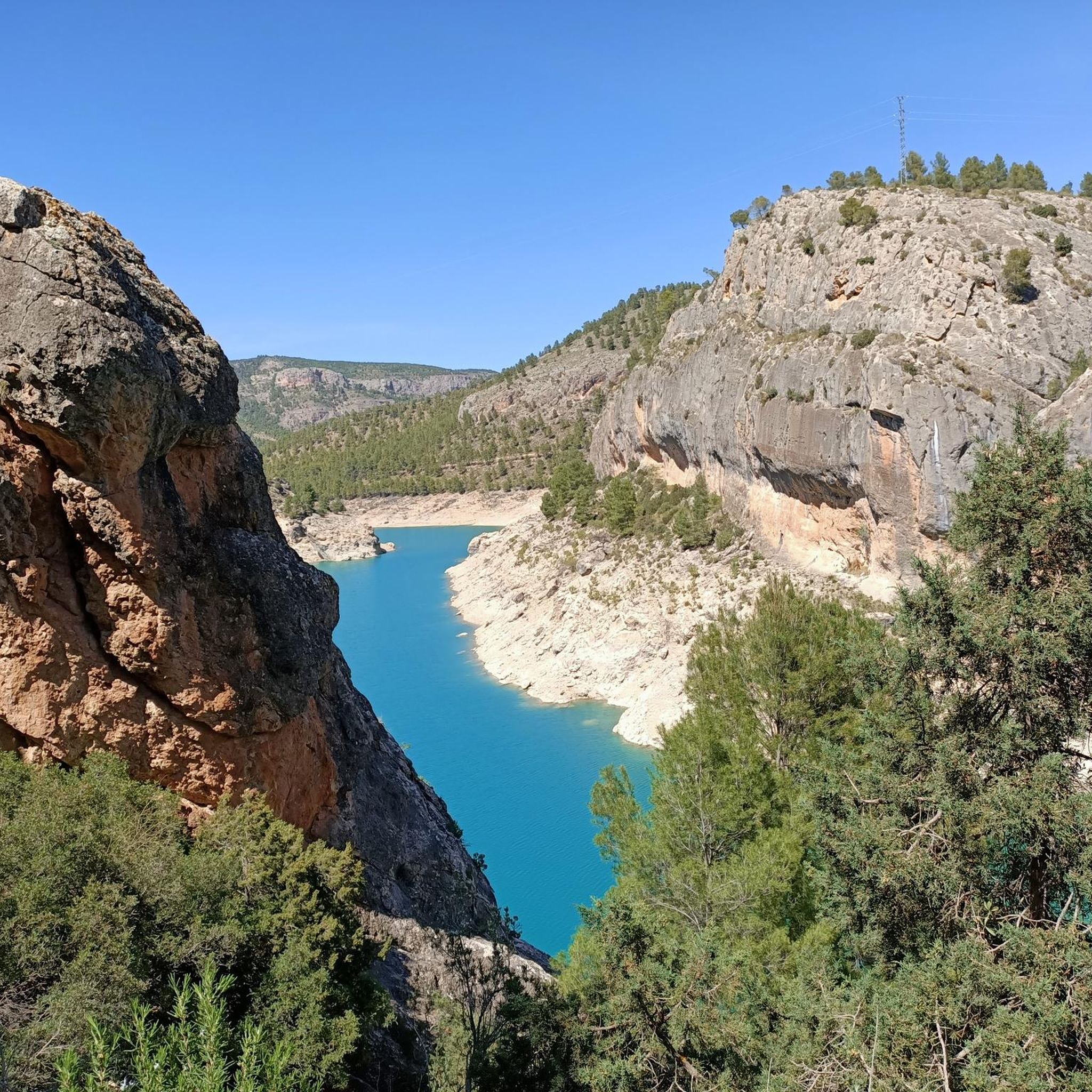
Hiking around Sierra Segura offers diverse and dramatic landscapes within the Sierras de Cazorla, Segura y Las Villas Natural Park, a UNESCO Biosphere Reserve. The region features rugged mountains, deep gorges, and significant karstic formations, including towering peaks and chasms. It is characterized by abundant waterways, such as the source of the Segura River, numerous streams, and waterfalls, alongside extensive pine forests and varied flora. This protected area provides a well-preserved environment for exploration.
Best hiking trails around Sierra Segura
- The most popular hiking route is Route of the Zarzalar from Nerpio, a 5.2 miles (8.3 km) moderate trail that takes 2 hours 19 minutes to complete. This path winds through the natural beauty typical of the Sierra Segura, offering views of its varied terrain.
- Another top favourite among local hikers is Ruta del Zarzalar Loop, a moderate 5.6 miles (9.0 km) path. This circular route provides an immersive experience into the region's forests and geological formations.
- Local hikers also love the La Cascada Trail, a 5.5 miles (8.8 km) trail leading through varied landscapes, often completed in about 2 hours 31 minutes. This route highlights the area's natural features, including potential water elements.
- Hiking around Sierra Segura is defined by rugged mountains, deep gorges, and extensive pine forests, with numerous waterways and karstic formations. The network offers options for different ability levels, from moderate paths to more challenging ascents.
- The routes in Sierra Segura are highly rated by the komoot community with an average score of 4.6 stars from over 180 reviews. More than 1,800 hikers have used komoot to explore Sierra Segura's varied terrain.
Last updated: October 20, 2026
4.8
(13)
127
hikers
8.32km
02:19
160m
160m
Moderate hike. Good fitness required. Easily-accessible paths. Suitable for all skill levels.
4.7
(9)
110
hikers
9.04km
02:33
200m
190m
Moderate hike. Good fitness required. Easily-accessible paths. Suitable for all skill levels.

4.7
(11)
62
hikers
8.84km
02:31
200m
190m
Moderate hike. Good fitness required. Easily-accessible paths. Suitable for all skill levels.
4.5
(4)
38
hikers
12.8km
04:08
570m
570m
Moderate hike. Good fitness required. Easily-accessible paths. Suitable for all skill levels.
4.7
(3)
23
hikers
15.1km
04:27
450m
450m
Moderate hike. Good fitness required. Easily-accessible paths. Suitable for all skill levels.
4.5
(2)
9
hikers
21.9km
07:15
1,040m
1,040m
Hard hike. Very good fitness required. Easily-accessible paths. Suitable for all skill levels.
Easy hike. Great for any fitness level. Easily-accessible paths. Suitable for all skill levels.
5.0
(1)
5
hikers
16.3km
05:18
760m
760m
Hard hike. Very good fitness required. Easily-accessible paths. Suitable for all skill levels.
2
hikers
19.1km
05:45
590m
580m
Hard hike. Very good fitness required. Easily-accessible paths. Suitable for all skill levels.
5.0
(1)
2
hikers
11.1km
03:20
340m
340m
Moderate hike. Good fitness required. Easily-accessible paths. Suitable for all skill levels.
Get access to more routes and recommendations from other explorers.
Already have an account?
Our route recommendations are based on thousands of hikes, rides, and runs completed by other people on komoot.
Start today with a free account
Your next adventure awaits.
Popular around Sierra Segura
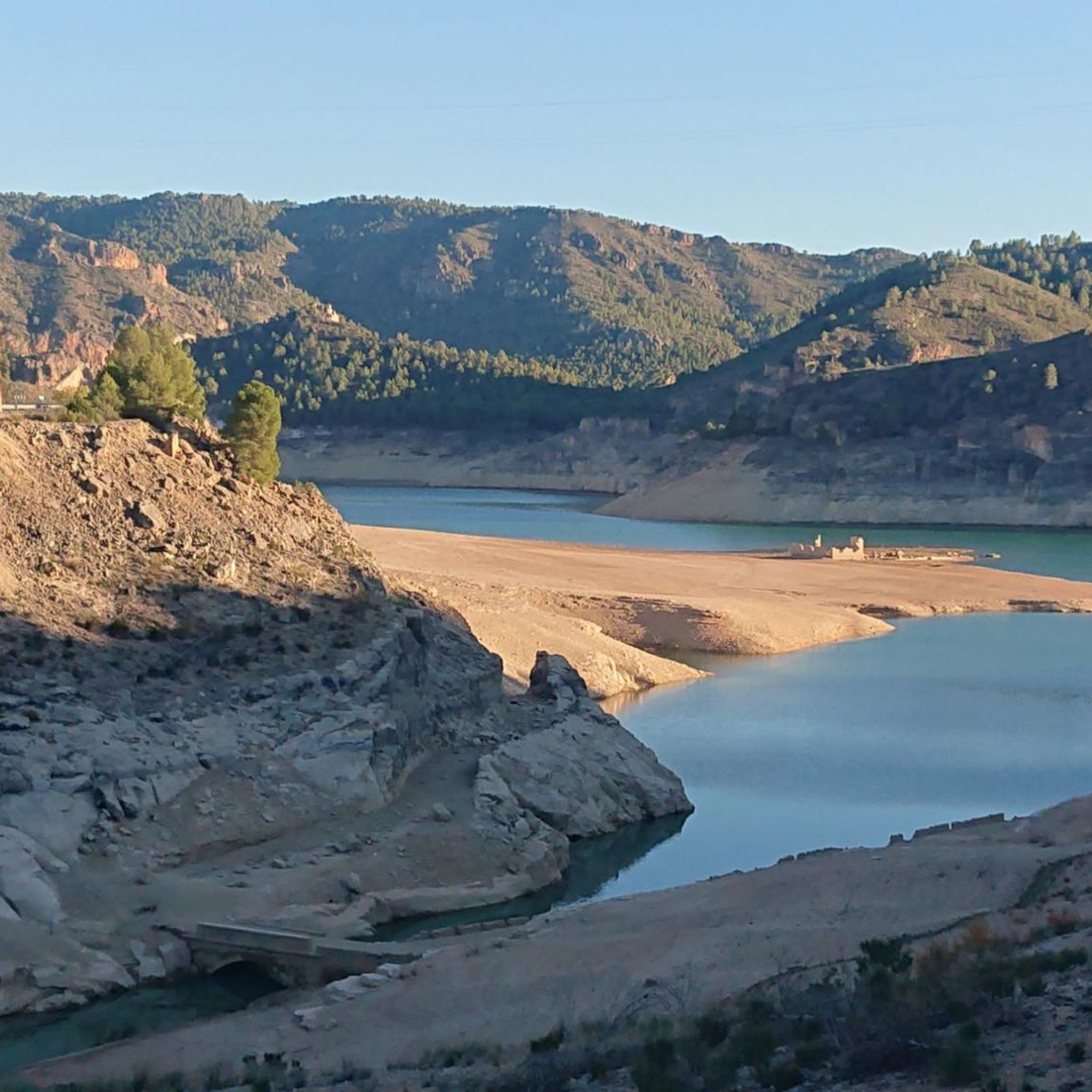
Hiking around Yeste
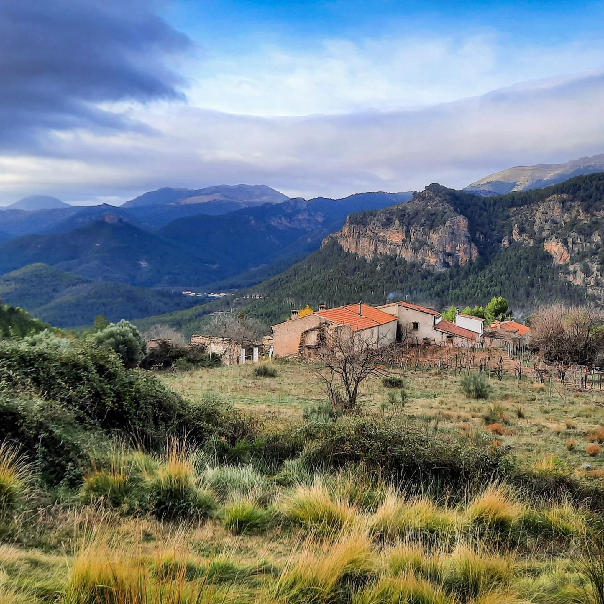
Hiking in Microrreserva Ardal Y Tinjarra
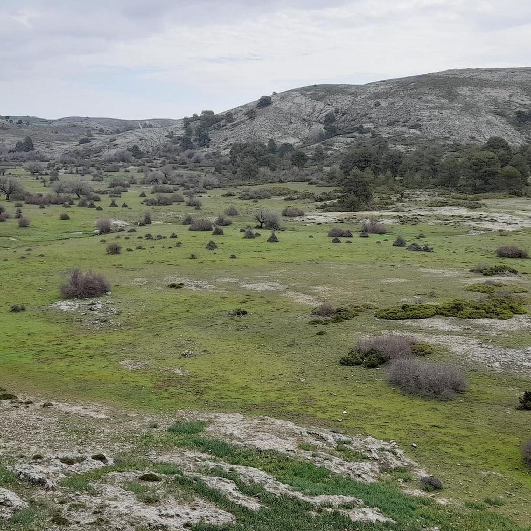
Hiking in Los Calares Del Mundo Y De La Sima

Hiking in Microrreserva De Peñas Coloradas
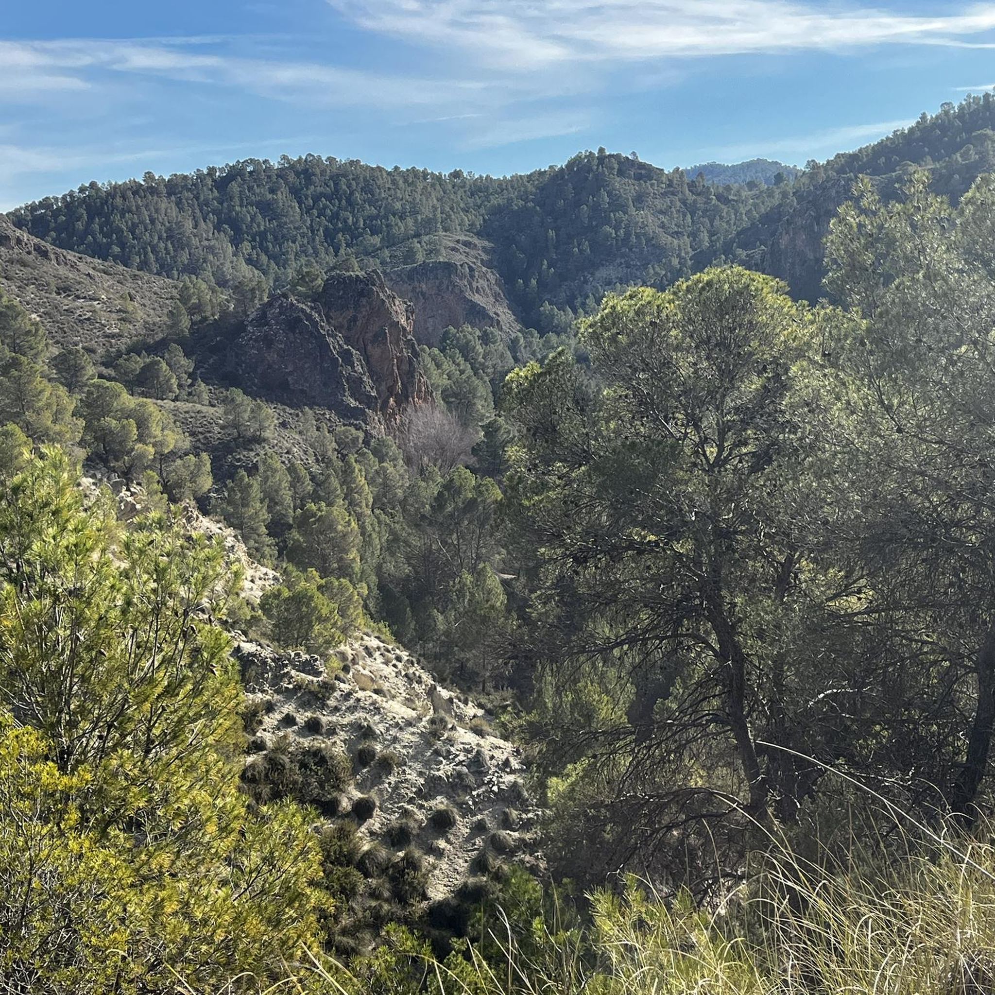
Hiking around Socovos
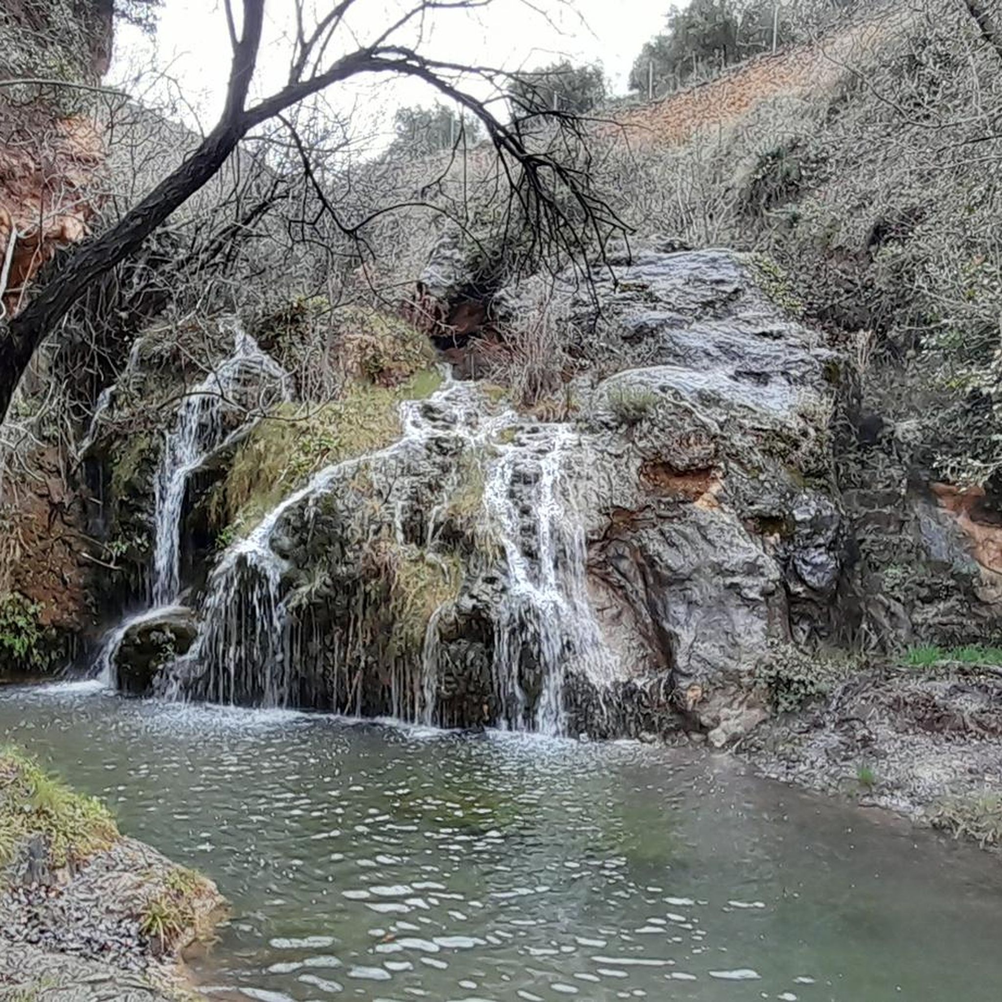
Hiking around Molinicos
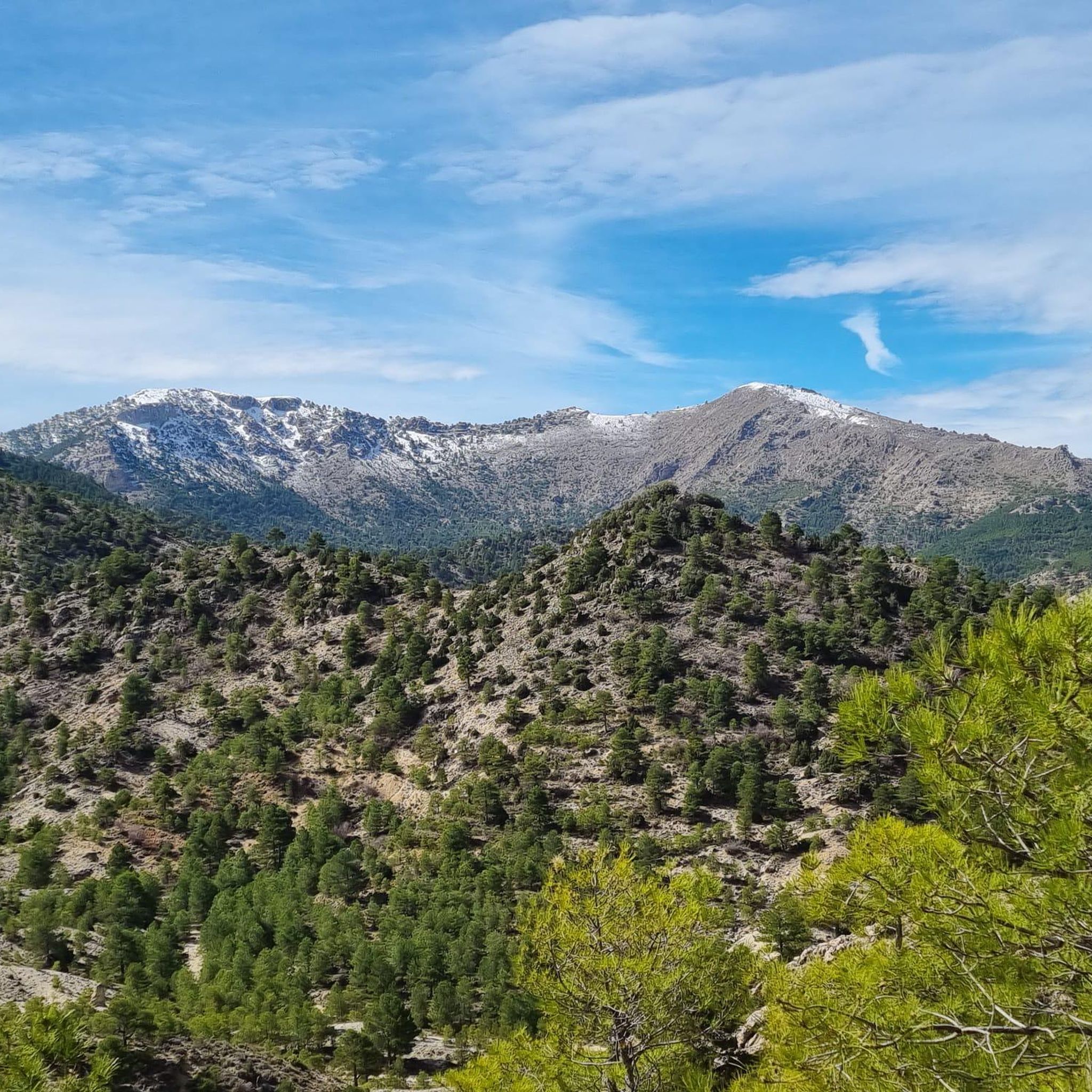
Hiking around Nerpio
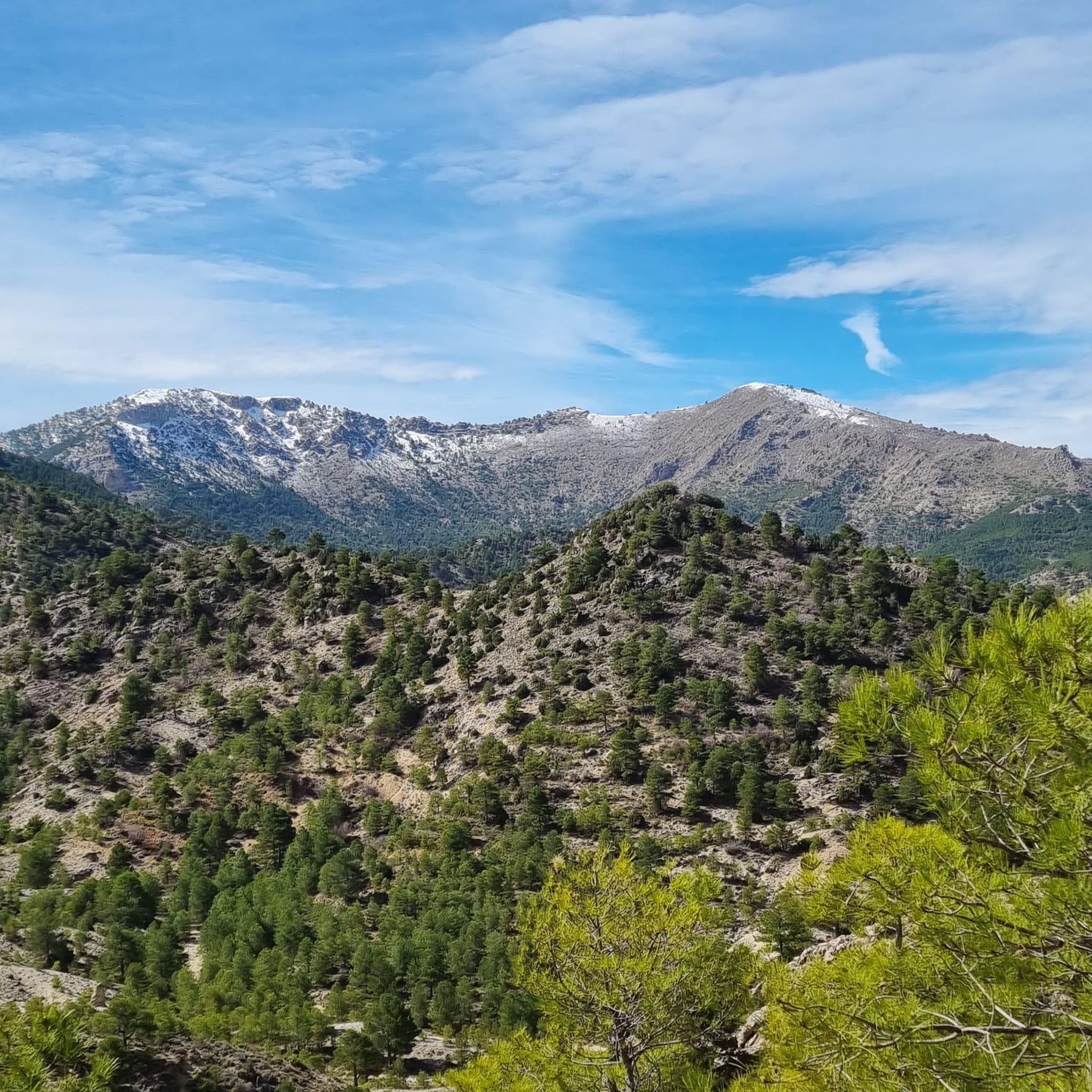
Hiking in Reserva Natural Sierra De Las Cabras
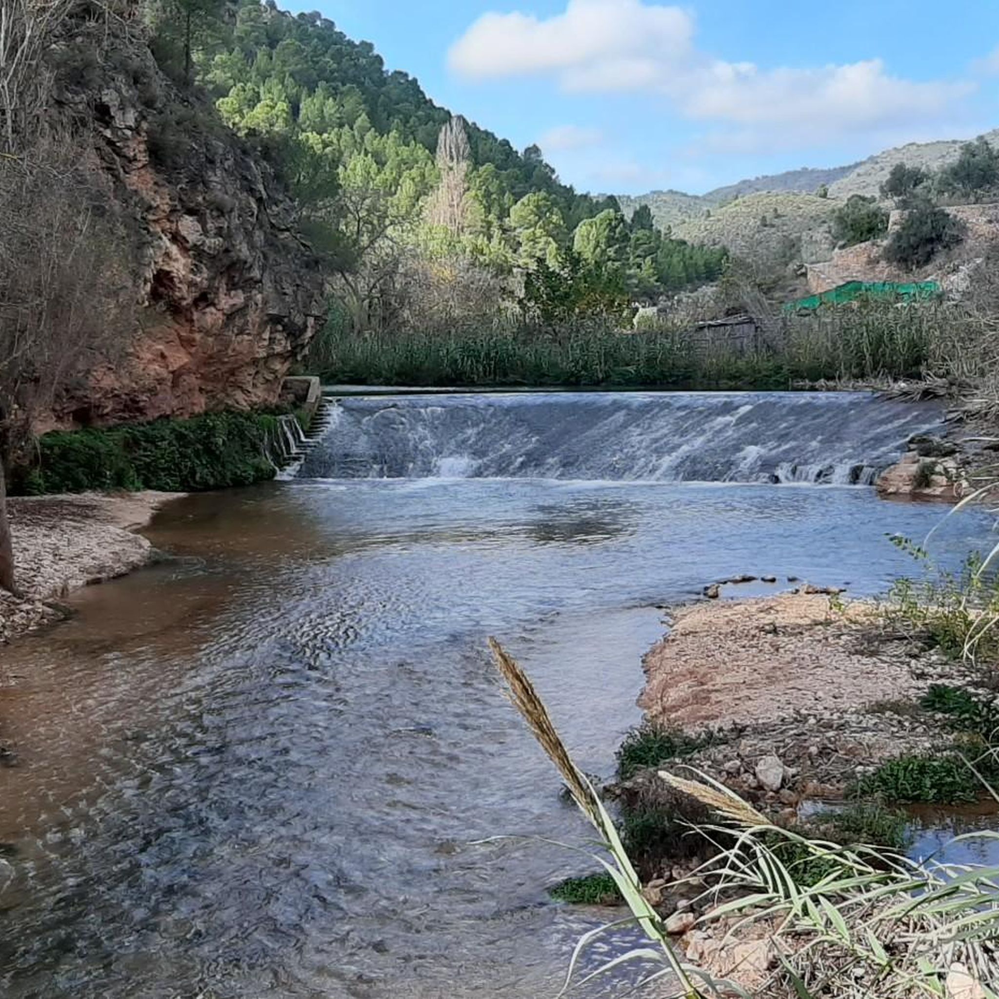
Hiking around Ayna
Hiking in Microrreserva Del Cerro De Rala
Other adventures around Sierra Segura

Tips from the Community

Castle of Andalusian origin, but with a strong affiliation to the Order of Santiago. It can only be visited with a guided tour
0
0
Beautiful Letur, although very damaged by Dana, let's hope it recovers soon.
0
0
It should be called the Amanece que no es poco viewpoint You have a sidecar to take photos in homage to the unparalleled Teodoro from the movie
0
0

Pico Mentiras is one of the highest peaks in the Sierra de Segura, reaching an altitude of 1,896 metres. It is located in Calar de la Sima, within the Calares del Mundo y de la Sima Natural Park. The most common route to climb Pico Mentiras starts from the village of Arguellite.
6
0
La Peña Palomera is an impressive peak located in the Sierra de Segura, near Yeste. It is located in the Calar de la Sima, a mountain formation that extends between the provinces of Albacete and Jaén. One of the most popular routes starts from the village of Arguellite and offers a circular route of approximately 21.9 km with a gradient of 1,040 metres.
6
0

The castle and the church are the centre of the landscape of Yeste. Even if it is only from the outside, it is worth taking a look.
2
0


But it is undoubtedly the heritage of the Andalusian legacy that has brought beauty and personality to the peculiar urban structure of Letur, crossed by irrigation ditches and a multitude of walkways. The good conservation of the town, one of the jewels of Castilla La Mancha, led to Letur being declared a Historic Artistic Site in 1983. To enjoy the beautiful surroundings of the town there are several short and easy trails. Hiking fans can access the Segura Canyon via the Regalí Trail. The fertile valleys of Letur have facilitated great agro-productive dynamism with such famous companies as 'El Cantero de Letur', dedicated to organic dairy and cheese production.
17
0
Frequently Asked Questions
How many hiking trails are available in Sierra Segura?
Sierra Segura offers a wide selection of hiking experiences, with over 70 trails documented on komoot. These routes cater to various preferences, from leisurely walks to more challenging ascents through its rugged landscapes.
What is the best time of year to go hiking in Sierra Segura?
The Sierra Segura region, part of a UNESCO Biosphere Reserve, is beautiful year-round. However, spring and autumn generally offer the most pleasant temperatures for hiking, with lush landscapes in spring and vibrant colors in autumn. Summers can be hot, especially at lower elevations, while winters can bring colder temperatures and sometimes snow to higher peaks.
What kind of terrain can I expect on hikes in Sierra Segura?
Hikers in Sierra Segura can expect diverse and dramatic terrain. The region is characterized by rugged mountains, deep gorges, and significant karstic formations of dolomitic limestone. You'll traverse through extensive pine forests, encounter numerous waterways, and experience varied landscapes from moderate paths to challenging ascents.
Are there hiking trails for all skill levels in Sierra Segura?
Yes, Sierra Segura provides routes for various abilities. Out of the 74 available trails, you'll find 19 easy routes perfect for a relaxed stroll, 45 moderate trails for those seeking a bit more challenge, and 10 difficult routes for experienced hikers looking to push their limits.
Are there any hikes in Sierra Segura that feature waterfalls or significant water elements?
Absolutely. The region is known for its abundant waterways, being the source of the Segura River. You can find stunning waterfalls and crystal-clear pools. While specific routes are not detailed in the guide, the La Cascada Trail hints at water features, and the Borosa River trail (mentioned in region research) is famous for its waterfalls and pools.
Can I find circular hiking routes in Sierra Segura?
Yes, there are several circular hiking routes available. For example, the Ruta del Zarzalar Loop offers an immersive experience through forests and geological formations. Other circular options include the Sendero del Mundo (GR 67) Aýna Loop and the Fuensanta Circular Trail.
Are there family-friendly hiking options in Sierra Segura?
While the guide doesn't explicitly label routes as 'family-friendly,' the 19 easy trails available are generally suitable for families. These routes typically have less elevation gain and shorter distances, making them more accessible for children and those preferring a gentler pace.
What natural landmarks or viewpoints can I discover while hiking in Sierra Segura?
Sierra Segura is rich in natural beauty and offers several notable landmarks and viewpoints. You can explore the Charco de Las Canales, a beautiful lake, or enjoy panoramic views from Mirador La Rodea Grande. The region also features dramatic karstic formations and extensive pine forests.
Are there any towns or historical sites worth visiting near the hiking trails?
Yes, the region has cultural and historical elements. You can visit the charming town of Nerpio or explore the Historic Center of Letur. The town of Aýna is also a notable settlement in the area, offering a glimpse into the local heritage.
What do other hikers enjoy most about the trails in Sierra Segura?
The trails in Sierra Segura are highly rated by the komoot community, with an average score of 4.6 stars from over 180 reviews. Hikers often praise the diverse and dramatic landscapes, the abundance of natural features like waterways and forests, and the well-preserved environment of this UNESCO Biosphere Reserve.
Is parking generally available at trailheads in Sierra Segura?
While specific parking details for each trailhead are not provided, as a natural park and popular hiking destination, many trailheads within Sierra Segura typically offer designated parking areas. It's advisable to check local signage or park information centers for specific route parking recommendations.
Are dogs allowed on hiking trails in Sierra Segura?
As part of the Sierras de Cazorla, Segura y Las Villas Natural Park, which is a protected area, regulations regarding dogs can vary. Generally, dogs are permitted on trails but often need to be kept on a leash to protect wildlife and ensure the safety of other hikers. It's always best to check specific park rules or local signage before heading out with your dog.
Most popular routes around Sierra Segura
Most popular attractions around Sierra Segura

Get inspired with the komoot mobile app


Didn’t find what you were looking for?
Check out more Hikes throughout Sierra Segura below and find the perfect route in your destination.
