The best mountain hikes around Lac Chambon
4.6
(12)
66
hikers
2
hikes
Mountaineering routes around Lac Chambon are set within the Massif du Sancy, a region shaped by its volcanic origin. The landscape features rugged reliefs, volcanic peaks, and dramatic rock formations, including the notable Puy de Sancy. Mountain passes such as Col de la Croix Saint-Robert and Col de Guéry offer panoramic views. This area provides a diverse environment for mountaineering, from challenging ascents to scenic trails.
Best mountaineering routes around Lac Chambon
- The most popular mountaineering route is Puy Montchal…
Last updated: October 4, 2026
3
hikers
5.60km
01:44
210m
210m
Easy mountaineering route. Great for any fitness level. Easily-accessible paths. Suitable for all skill levels.
4.7
(3)
9
hikers
11.0km
04:23
580m
580m
Moderate mountaineering route. Good fitness required. Mostly accessible paths. Sure-footedness required.

4.3
(4)
19
hikers
8.04km
03:00
510m
510m
Moderate mountaineering route. Good fitness required. Mostly accessible paths. Sure-footedness required.
8
hikers
6.49km
02:36
510m
510m
Moderate mountaineering route. Good fitness required. Easily-accessible paths. Suitable for all skill levels.
4.0
(2)
4
hikers
15.0km
05:06
780m
770m
Hard mountaineering route. Very good fitness required. Mostly accessible paths. Sure-footedness required.
Our route recommendations are based on thousands of hikes, rides, and runs completed by other people on komoot.
Start today with a free account
Your next adventure awaits.
Popular around Lac Chambon
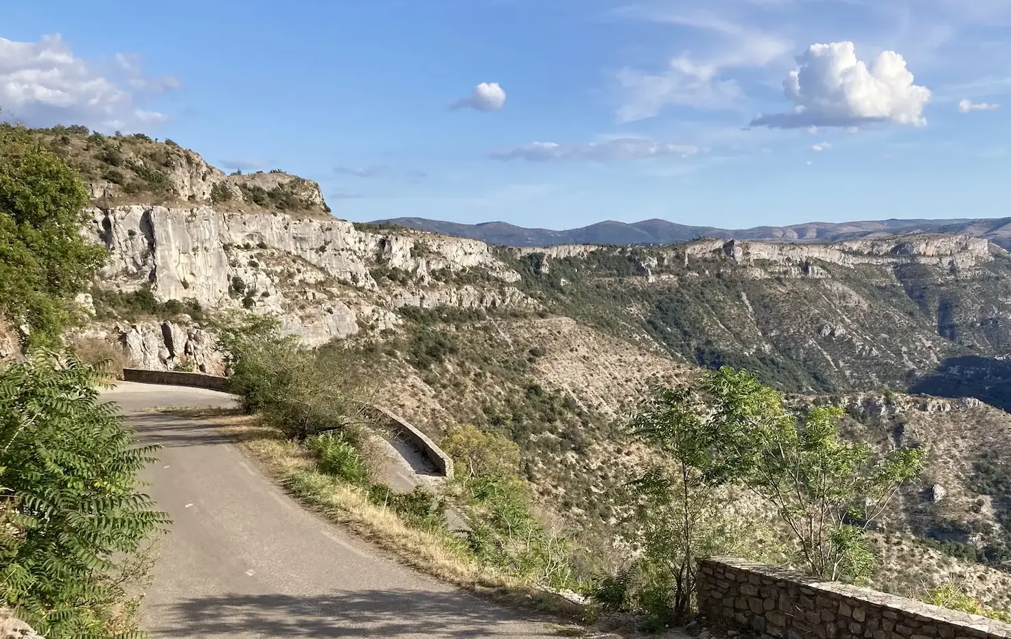
From north to south - On the slopes of the GTMC
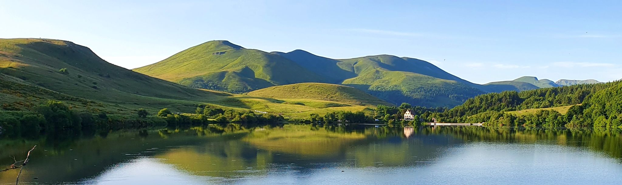
Tour of the volcanoes and lakes of Auvergne – GR 30
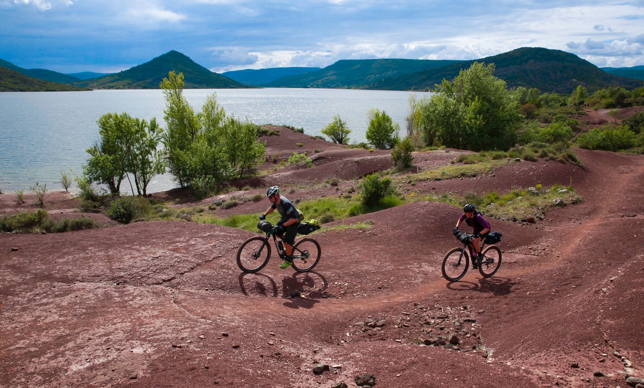
The Great Crossing of France's Massif Central by mountain bike
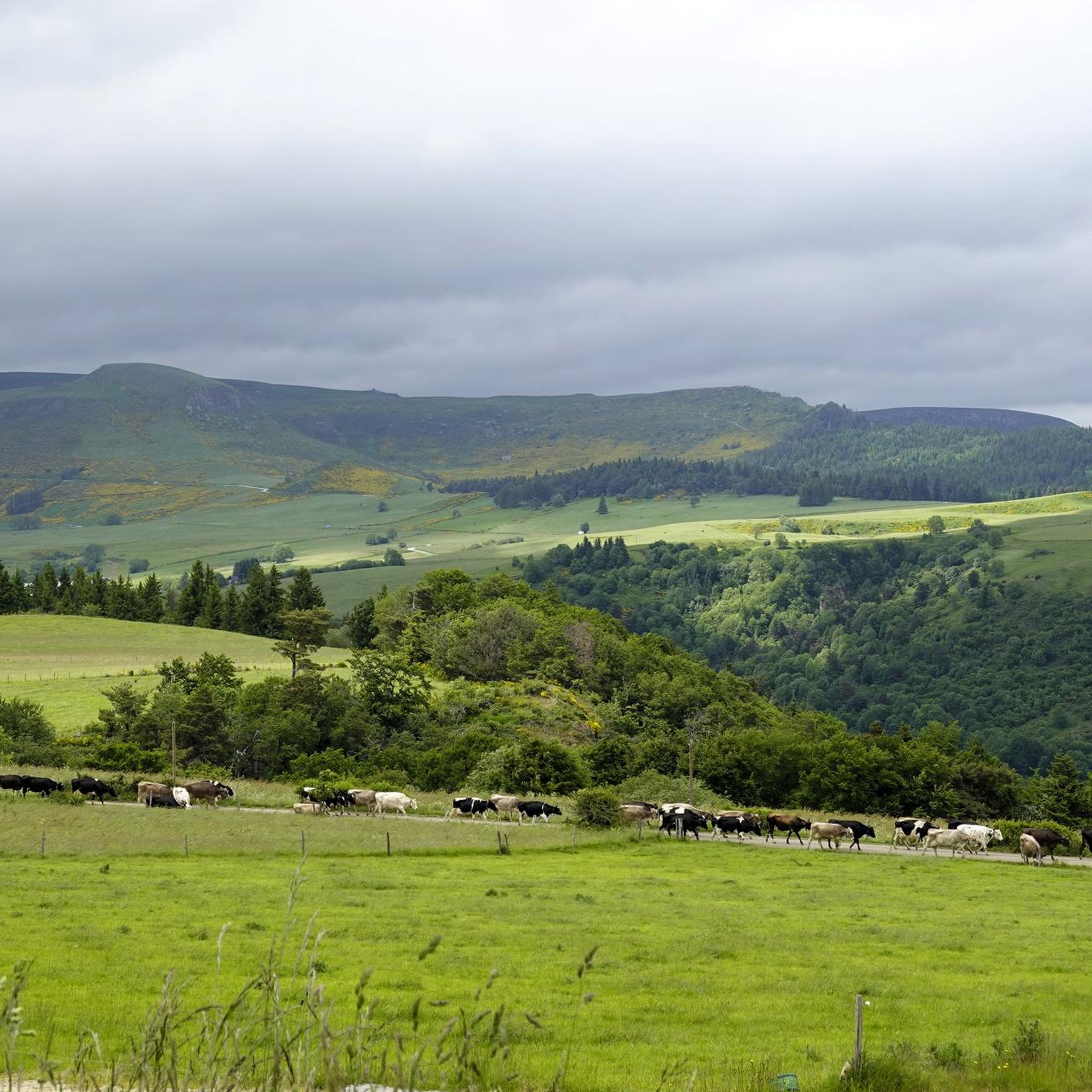
Cycling around Lac Chambon
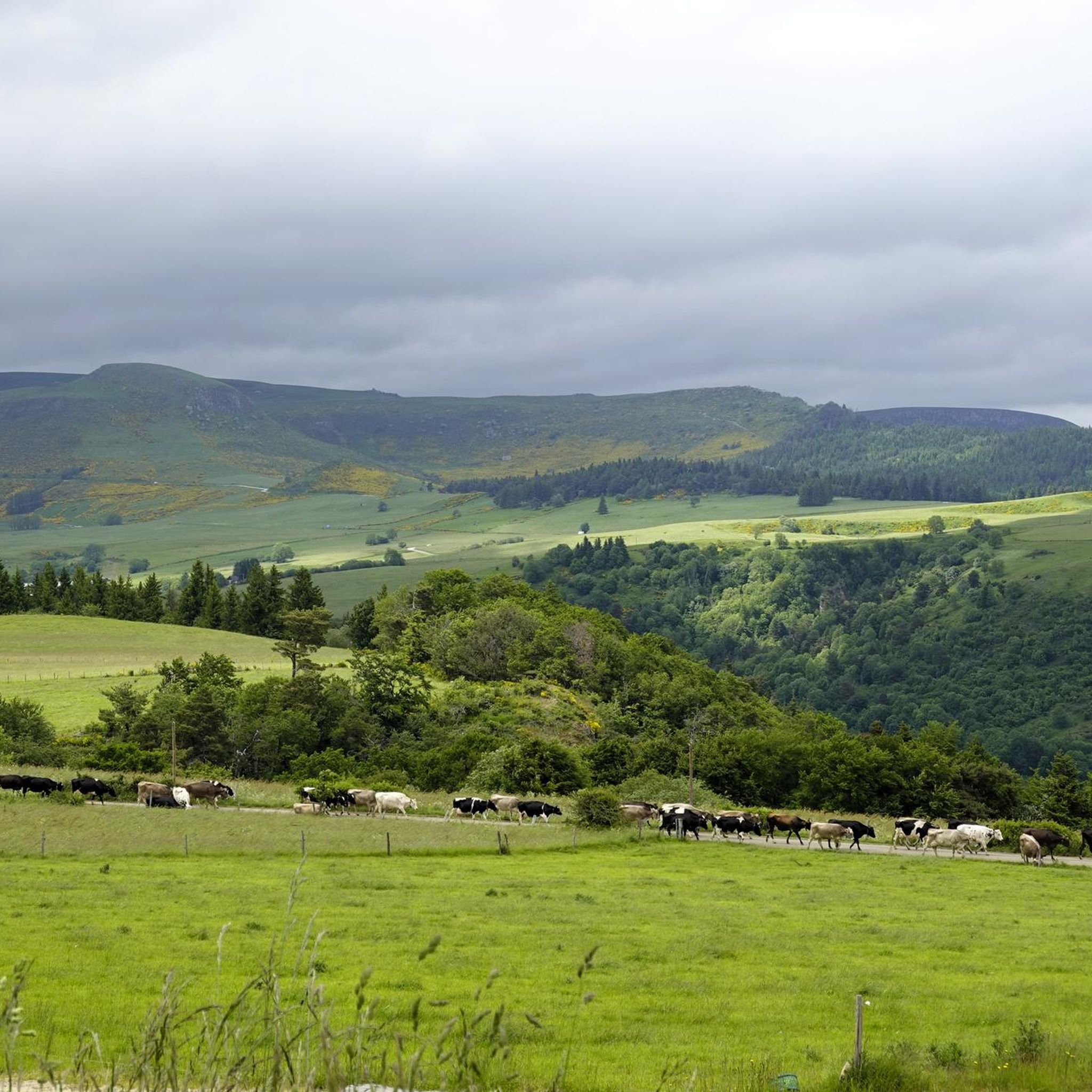
Hiking around Lac Chambon
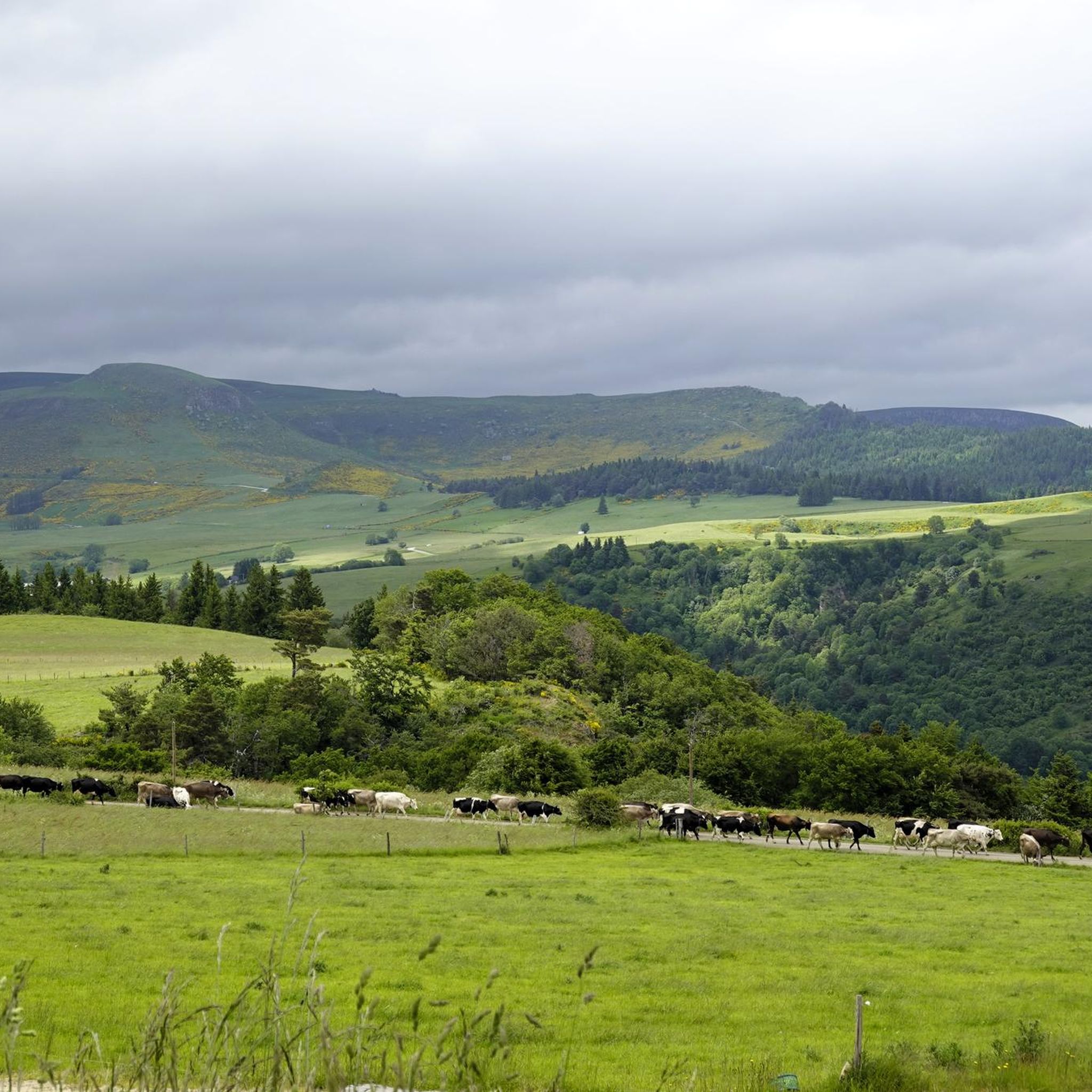
Road Cycling Routes around Lac Chambon
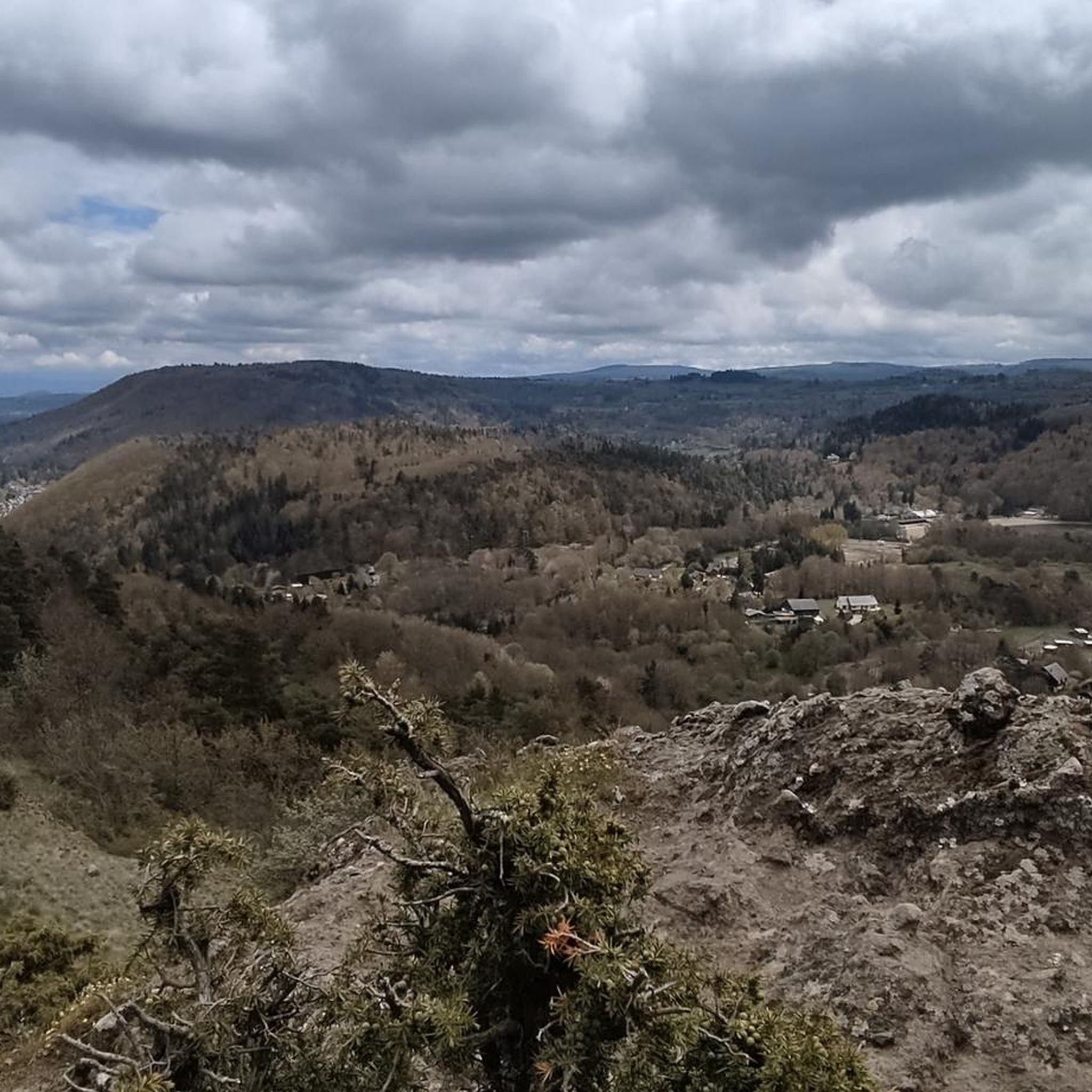
MTB Trails around Lac Chambon
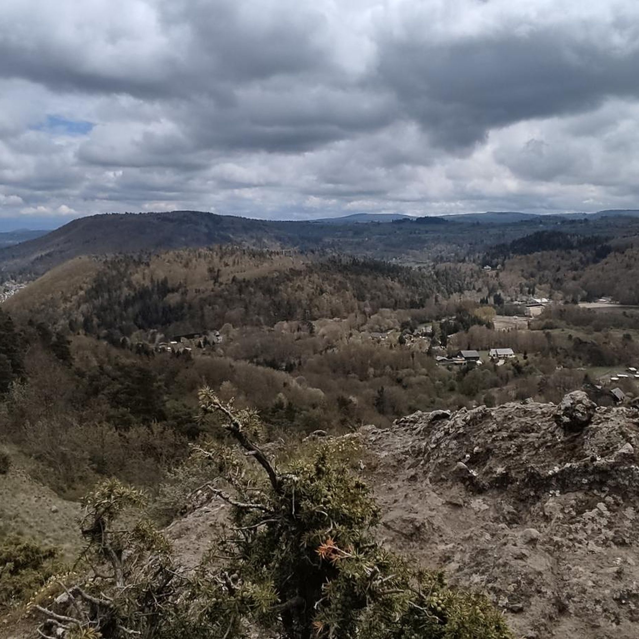
Running Trails around Lac Chambon

Gravel biking around Lac Chambon
Other adventures around Lac Chambon


Tips from the Community

you have to have ridden it to understand
0
1

It's amazing how these puny source streams can become such a magnificent river, until it flows into the Atlantic as the Gironde.
0
0
This is a popular hiking area in the Auvergne Volcanoes Nature Park. Those who want to hike in nature should set off early.
1
0


Very impressive prospects, good to go.
0
0
Very impressive prospects, good to go.
1
0
Frequently Asked Questions
How many mountaineering routes are covered in this guide for Lac Chambon?
This guide features 5 distinct mountaineering routes around Lac Chambon, offering a range of experiences from easy to moderate difficulty.
What makes mountaineering around Lac Chambon unique?
Mountaineering in the Lac Chambon area is unique due to its volcanic origin within the Massif du Sancy. You'll encounter rugged reliefs, dramatic rock formations, and volcanic peaks like the Puy de Sancy. The landscape, shaped by ancient eruptions, provides a distinctive and challenging environment for exploration.
Are there any circular mountaineering routes in the Lac Chambon area?
Yes, several routes are circular. For example, you can explore the Puy Montchal – Lake Pavin loop from Besse, an easy 5.6 km route. Another option is the moderate Puy de Sancy – Crêtes du Sancy loop from Super Besse, which covers 11.2 km and offers significant elevation gain.
What is the best time of year for mountaineering in the Lac Chambon area?
The best time for mountaineering around Lac Chambon is typically from late spring to early autumn (May to October). During these months, the weather is generally more stable, and trails are clear of snow, making for safer and more enjoyable conditions. Always check local weather forecasts before heading out.
Are there options for less experienced mountaineers or beginners?
Absolutely. While the region offers challenging terrain, there are routes suitable for beginners. An excellent easy option is the Puy Montchal – Lake Pavin loop from Besse, which is 5.6 km long and takes about 1 hour 44 minutes, offering beautiful volcanic landscapes and lake views without extreme difficulty.
What are some of the more challenging mountaineering routes around Lac Chambon?
For those seeking a challenge, the Puy de Sancy – Crêtes du Sancy loop from Super Besse is a moderate 11.2 km path featuring significant elevation gain and traversing the high ridges of the Sancy massif. Another moderate option is the Puy Redon – Tour Carrée loop from Les Longes, a 10.0 km trail with expansive views.
Are there any scenic mountain passes to explore near Lac Chambon?
Yes, the region is home to several scenic mountain passes. The Col de la Croix Saint-Robert and the Croix de la Croix Morand offer magnificent panoramic views of the Sancy. Additionally, the Col de Guéry, at approximately 1,267 meters, provides stunning views of Lake Guéry, the highest lake in Auvergne.
What do other mountaineers enjoy the most about mountaineering in Lac Chambon?
The area is highly rated by the komoot community, with an average score of 4.3 stars from over 20 reviews. Mountaineers often praise the diverse volcanic landscapes, the challenging ascents, and the breathtaking panoramic views from peaks and passes like the Puy de Sancy.
Can I find routes that offer views of the Puy de Sancy?
Yes, many routes provide excellent views of the Puy de Sancy, the highest peak in the Massif Central. The Puy de Sancy – Crêtes du Sancy loop from Super Besse directly traverses its ridges, offering intimate views of the massif. Another option is the Puy de Sancy – Col de la Cabane loop from Puy de Sancy.
Are there any less crowded mountaineering trails around Lac Chambon?
While popular spots can attract visitors, exploring routes slightly off the main tourist paths or during off-peak hours can offer a more serene experience. Consider trails that venture deeper into the Massif du Sancy, away from the immediate lake vicinity, to find more solitude.
What kind of natural features can I expect to see on these routes?
You can expect to see a rich variety of natural features shaped by the region's volcanic past. This includes dramatic rock formations, volcanic peaks, rugged reliefs, and expansive views across the Massif du Sancy. The nearby Chaudefour Valley Nature Reserve is particularly notable for its steep rock faces and volcanic spires like the Rancune Tooth and Moine Needle.
Are there any shorter mountaineering routes suitable for a quick outing?
Yes, if you're looking for a quicker mountaineering experience, the Puy Montchal – Lake Pavin loop from Besse is an easy 5.6 km route that typically takes around 1 hour 44 minutes. Another moderate option is the Puy Redon loop from Puy de Sancy, which is 5.1 km and can be completed in about 2 hours 5 minutes.
Most popular routes around Lac Chambon

Get inspired with the komoot mobile app


Explore more
Browse the best Mountain Hikes & Routes in other regions.
