The best road cycling routes around Lac De Saint Michel
4.7
(10)
270
riders
52
rides
Road cycling routes around Lac De Saint Michel offer a diverse landscape characterized by coastal plains, traditional bocage, and tranquil river valleys. The region features a blend of salt meadows, polders, and forested areas, providing varied scenery for cyclists. Routes often meander along rivers and through green countryside, with some sections offering views of the iconic Mont Saint-Michel Bay. The terrain includes gentle gradients suitable for relaxed rides and more challenging sections with moderate elevation gains.
Best road cycling routes around Lac De Saint Michel
- The most popular road cycling route is Huelgoat Forest – Gouffre de Huelgoat Waterfall loop from Brennilis, a 45.4 miles (73.0 km) trail that takes 3 hours 26 minutes to complete. This route explores the dense Huelgoat Forest and passes by the Gouffre de Huelgoat waterfall.
- Another top favourite among local road cyclists is Mount Saint-Michel of Brasparts loop from Botmeur, a moderate 25.0 miles (40.3 km) path. This route offers views of the Mont Saint-Michel of Brasparts, a prominent hill in the region.
- Local road cyclists also love the Saint-Pierre Church Ruins – Cranou Forest loop from Parking du restaurant, a 38.3 miles (61.7 km) trail leading through the Cranou Forest, often completed in about 3 hours 13 minutes.
- Road cycling around Lac De Saint Michel is defined by its coastal plains, bocage landscapes, and river valleys. The network offers options for different ability levels, from moderate loops to more difficult routes with significant elevation gain.
- The routes in Lac De Saint Michel are highly rated by the komoot community with an average score of 4.5 stars from 10 reviews. More than 260 road cyclists have used komoot to explore Lac De Saint Michel's varied terrain.
Last updated: July 10, 2026
5.0
(2)
8
riders
40.8km
01:54
460m
470m
Moderate road ride. Good fitness required. Some segments of this route may be unpaved and difficult to ride.
5.0
(1)
5
riders
28.5km
01:21
330m
330m
Moderate road ride. Good fitness required. Some segments of this route may be unpaved and difficult to ride.

Sign up for free
5
riders
131km
06:14
1,740m
1,740m
Hard road ride. Very good fitness required. Some segments of this route may be unpaved and difficult to ride.
4.7
(3)
39
riders
Moderate road ride. Good fitness required. Some segments of this route may be unpaved and difficult to ride.
8
riders
98.9km
04:31
1,140m
1,140m
Hard road ride. Very good fitness required. Mostly well-paved surfaces and easy to ride.
Get access to more routes and recommendations from other explorers.
Sign up for free
Already have an account?
Our route recommendations are based on thousands of hikes, rides, and runs completed by other people on komoot.
Start today with a free account
Your next adventure awaits.
Login or Signup

Tips from the Community

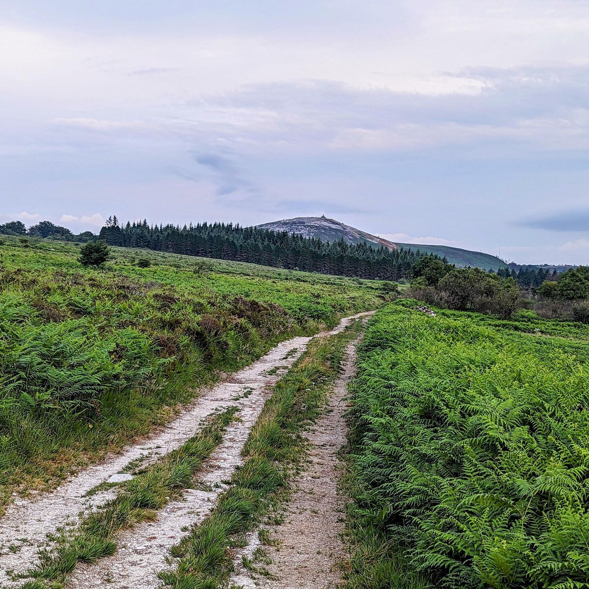
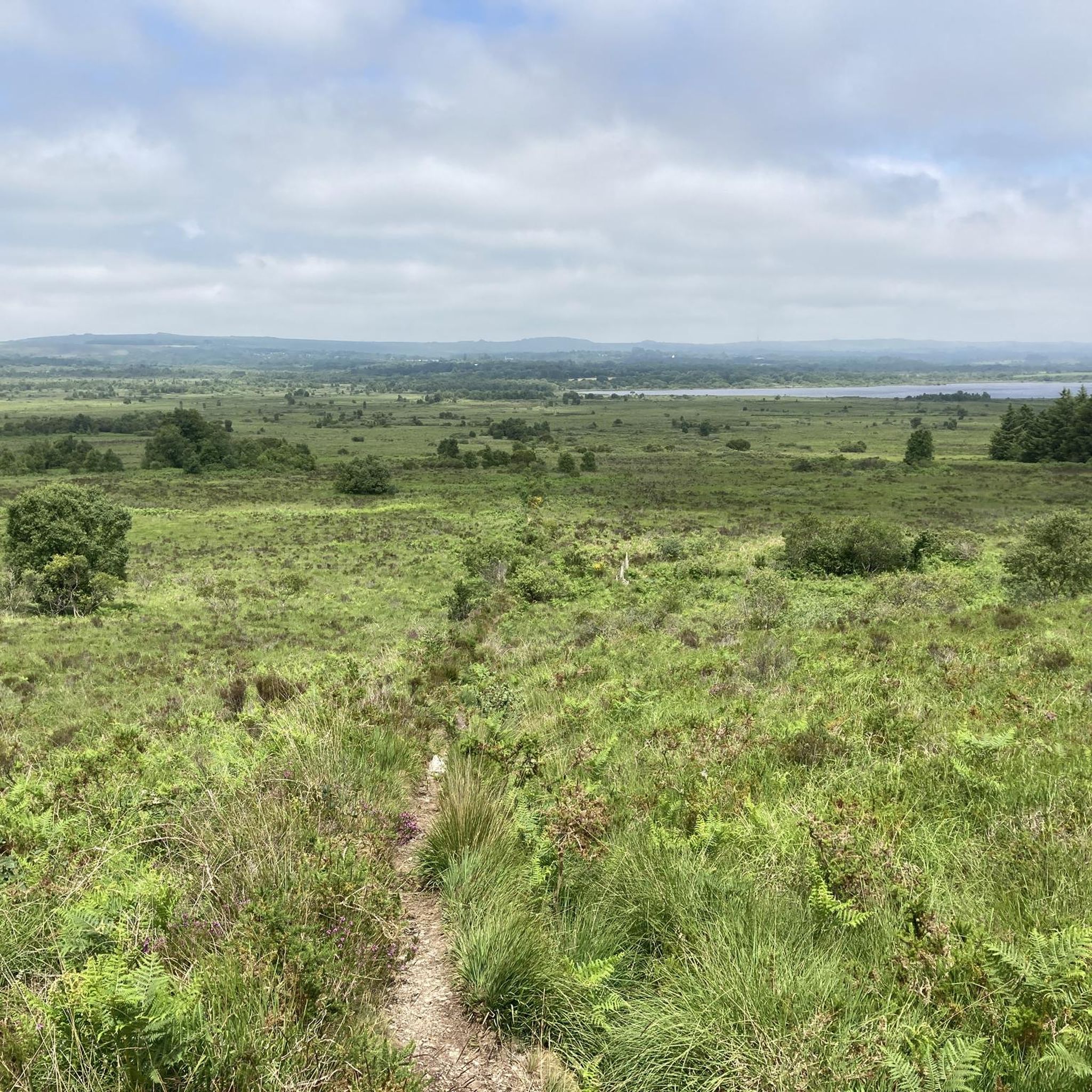
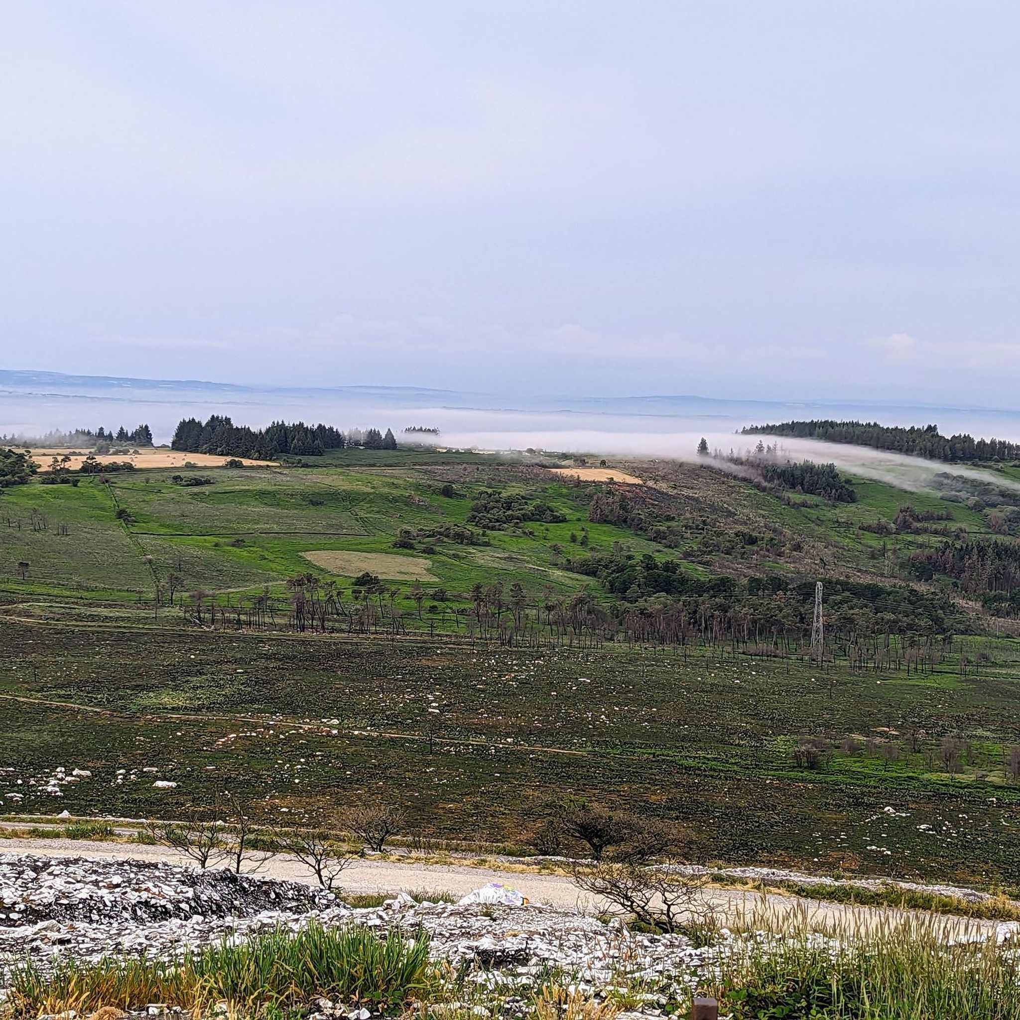
A great viewpoint! I rode up by bike and felt like I was in the Alps, but we're at 341m altitude, not 1600m!
0
0

This chapel was beautifully restored after the fire in the summer of 2022. This hill offers a lovely view of the Monts d'Arrée.
0
0

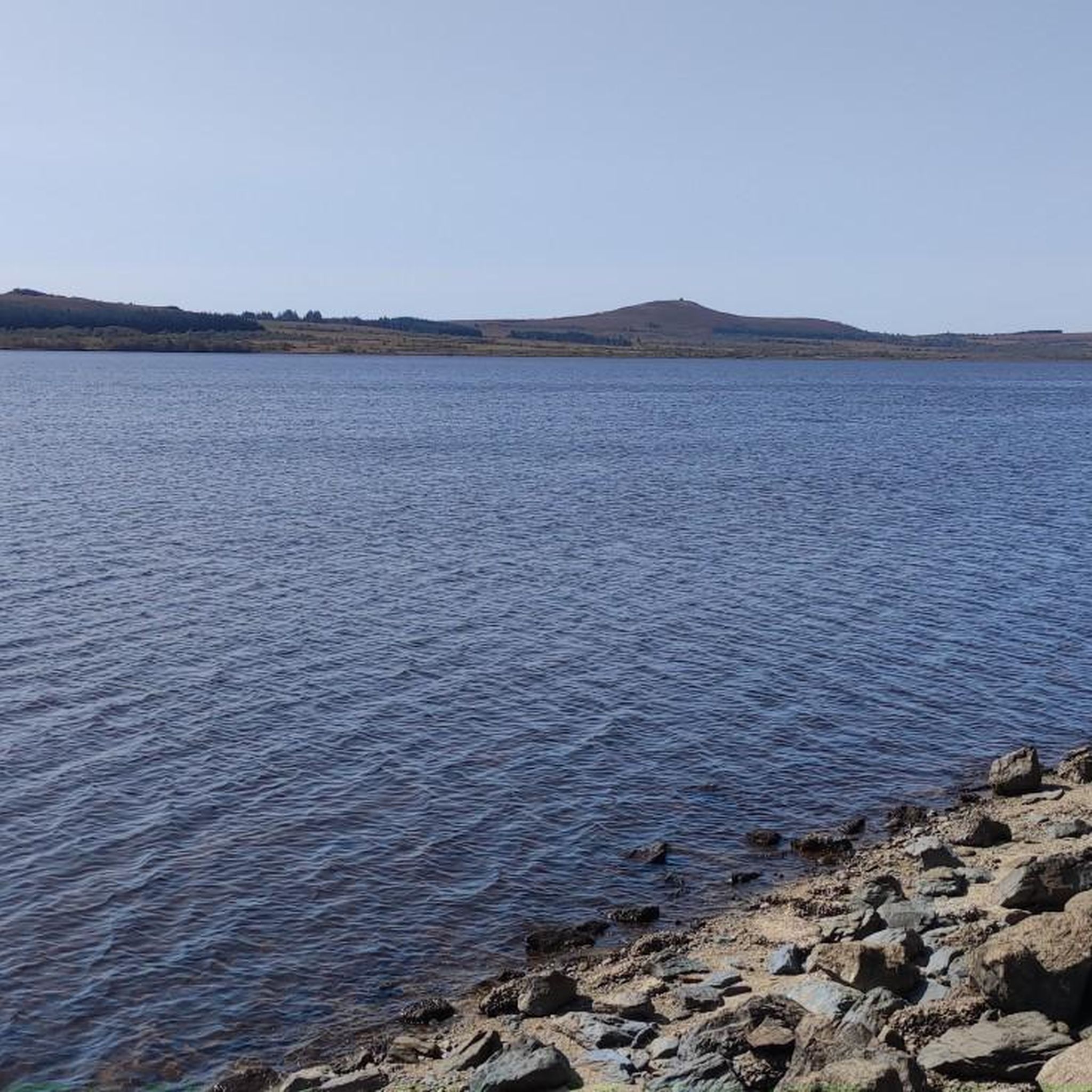
Great hike, nice in the shade and wonderful paths, always water to put your feet in and for the dogs
0
0


The chapel originally dates back to the 17th century. A visit is definitely worth it – the view is simply fantastic!
0
0

Great preparation course at the end of the day
0
0
Frequently Asked Questions
How many road cycling routes are available around Lac De Saint Michel?
There are over 45 road cycling routes around Lac De Saint Michel, offering a diverse range of experiences for cyclists. These routes are highly rated by the komoot community, with an average score of 4.5 stars.
What kind of terrain can I expect on road cycling routes in the Lac De Saint Michel region?
The region offers a varied landscape, from coastal plains and vast salt meadows with stunning views of Mont Saint-Michel Bay to the traditional 'bocage normand' with its hedge-divided fields. You'll also find routes meandering along tranquil river valleys, through polders, and into green, wooded areas like the Broualan forest, providing diverse scenery.
Are there road cycling routes suitable for beginners or those looking for an easier ride?
Yes, the Lac De Saint Michel area features several routes with gentle gradients, perfect for a relaxed ride. There are 3 easy routes and 29 moderate routes, offering plenty of options for those seeking a less strenuous experience.
What are the options for more challenging road cycling routes with significant elevation?
For experienced cyclists seeking a challenge, there are 16 difficult routes around Lac De Saint Michel. These routes feature more significant elevation gains. An example is the Saint-Pierre Church Ruins – Cranou Forest loop from Parking du restaurant, which includes over 1000 meters of elevation gain.
What are some notable points of interest or landmarks I can see while road cycling in the region?
Many routes offer exceptional panoramic views, especially of the iconic Mont Saint-Michel Abbey and its bay. You can also cycle through charming historical villages like Ducey, with its 17th-century château, or past the 11-arched bridge in Pontaubault. Natural reserves like the Marais de Sougeal provide opportunities for observing local wildlife.
Are there any circular road cycling routes in the Lac De Saint Michel area?
Yes, many of the road cycling routes in the region are designed as loops, allowing you to start and finish at the same point. Examples include the Huelgoat Forest – Gouffre de Huelgoat Waterfall loop from Brennilis and the Mount Saint-Michel of Brasparts loop from Botmeur.
What is the best time of year for road biking around Lac De Saint Michel?
The region is generally pleasant for cycling from spring through autumn. Spring and early summer offer lush green landscapes and comfortable temperatures, while autumn provides beautiful colors. Always check local weather conditions, especially for coastal areas where winds can be a factor.
Are there long-distance road cycling routes that pass through the Lac De Saint Michel region?
Yes, the area is part of major long-distance cycling networks. The Vélomaritime (EuroVelo 4) and the Véloscénie (Paris to Mont-Saint-Michel cycle route) both traverse this region. The Régalante cycle route, linking Mont Saint-Michel to Nantes, also offers extended cycling opportunities, passing medieval fortresses. You can find more information on these routes at francevelotourisme.com and francevelotourisme.com.
Is it possible to access road cycling routes using public transport in the Lac De Saint Michel area?
While specific public transport connections directly to trailheads can vary, the region's well-developed cycling infrastructure, including dedicated greenways, often connects to towns and villages that may have public transport links. It's advisable to check local bus or train schedules for connections to larger towns near your chosen starting point.
Where can I find parking for road cycling in Lac De Saint Michel?
Many towns and villages along the routes, such as Ducey or Pontaubault, offer public parking facilities. For routes starting from specific points, like the Saint-Pierre Church Ruins – Cranou Forest loop, parking is often available near restaurants or designated trailheads. When visiting Mont Saint-Michel, bike parking is available at the base of the abbey.
Are there cafes or places to stop for refreshments along the road cycling routes?
Yes, cycling routes often pass through or near charming villages and towns where you can find cafes, bakeries, and restaurants. These provide excellent opportunities to refuel and experience local cuisine. Many routes are designed to connect these points of interest.
What do other road cyclists enjoy most about road cycling in Lac De Saint Michel?
The area is highly rated by the komoot community, with an average score of 4.5 stars. Reviewers often praise the stunning views of Mont Saint-Michel Bay, the tranquility of cycling through salt meadows and bocage landscapes, and the variety of routes catering to different fitness levels. The well-maintained cycle paths and greenways are also frequently highlighted.
Most popular routes around Lac De Saint Michel

Get inspired with the komoot mobile app


Explore more
Browse the best Road cycling routes in other regions.
