The best running trails around Etang De La Gabriere
4.0
(3)
65
runners
24
runs
Jogging around Etang De La Gabriere offers a diverse natural environment within the Brenne Regional Natural Park. The region is characterized by a network of interconnected ponds, including Étang De La Gabrière itself, Étang Neuf, and Étang de Beauregard, providing varied waterside scenery. Trails often lead through wooded areas like the Bois de Nouzières, offering shaded paths. The landscape consists of ponds, forests, and fields, creating a tranquil setting for running.
Best jogging routes around Etang De La Gabriere
- The…
Last updated: July 3, 2026
5.0
(1)
4
runners
Hard run. Very good fitness required. Mostly paved surfaces. Suitable for all skill levels.
5.0
(1)
2
runners
9.82km
01:06
30m
30m
Moderate run. Good fitness required. Mostly paved surfaces. Suitable for all skill levels.

Sign up for free
3
runners
12.0km
01:19
30m
30m
Moderate run. Good fitness required. Mostly paved surfaces. Suitable for all skill levels.
1
runners
Moderate run. Good fitness required. Mostly paved surfaces. Suitable for all skill levels.
2.0
(1)
14
runners
Moderate run. Good fitness required. Mostly paved surfaces. Suitable for all skill levels.
Get access to more routes and recommendations from other explorers.
Sign up for free
Already have an account?
Our route recommendations are based on thousands of hikes, rides, and runs completed by other people on komoot.
Start today with a free account
Your next adventure awaits.
Login or Signup

Tips from the Community

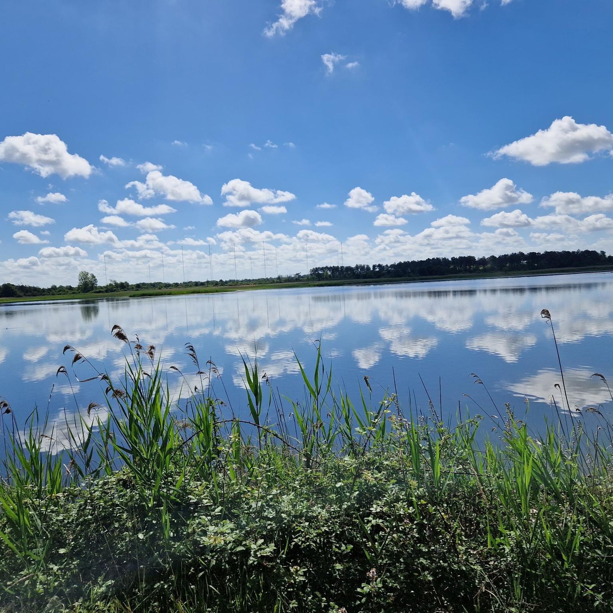
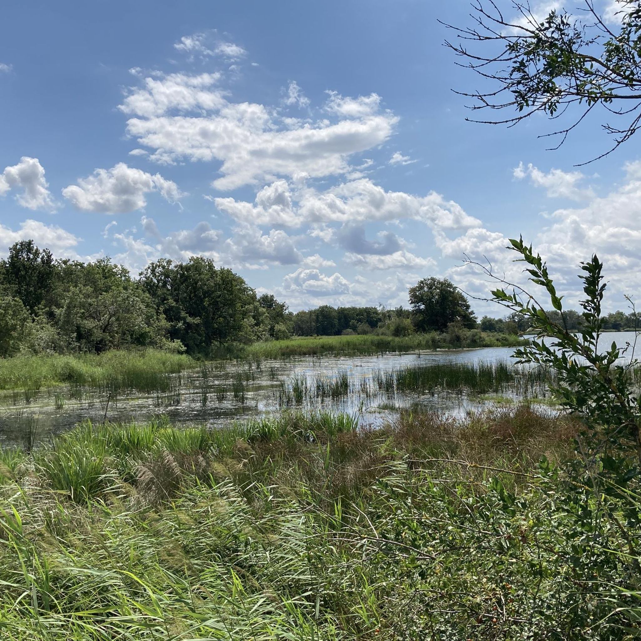
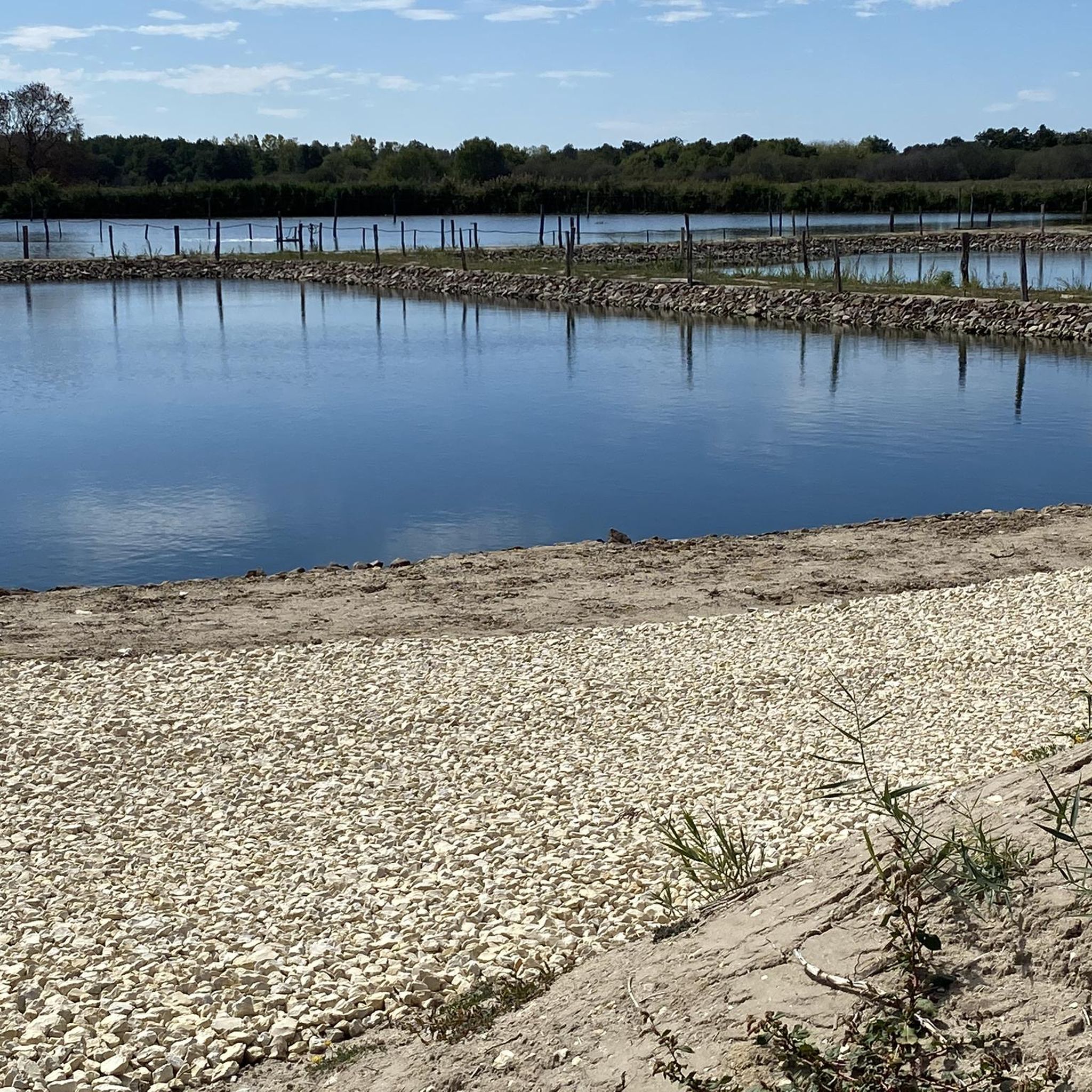
This park is known for its 3,000 ponds, 267 species of birds, 100,000 pond turtles, 1,600 plant species including wild orchids and thousands of insects and animals. The Brenne Regional Natural Park attracts thousands of visitors each year in search of a calm, natural and authentic setting.
0
0

A unique experience of running on this pond in the heart of the Regional Natural Park of Brenne - the country of 1000 ponds.
2
0
Frequently Asked Questions
How many running routes are available around Etang De La Gabrière?
There are over 25 dedicated running routes around Etang De La Gabrière, offering a variety of experiences within the Brenne Regional Natural Park. These routes cater to different fitness levels, with options ranging from moderate to difficult.
What kind of terrain can I expect on the jogging trails in this region?
The jogging trails around Etang De La Gabrière feature diverse terrain. You'll find paths leading alongside numerous ponds, through tranquil wooded areas like the Bois de Nouzières, and across open fields. The landscape is generally verdant, providing a refreshing natural environment for your run.
Are there routes suitable for beginners or those looking for an easier run?
While many routes are classified as moderate to difficult, the region offers accessible paths. The overall landscape of ponds, forests, and fields provides a diverse backdrop, and some trails are designed to be welcoming for both seasoned runners and those looking for a leisurely jog. It's best to check individual route details for specific difficulty ratings.
What natural features or landmarks can I see while running around Etang De La Gabrière?
The area is rich in natural beauty. You'll encounter a network of interconnected ponds, including Étang De La Gabrière itself, Étang Neuf, Étang de Beauregard, and Étang de Rochefort. Many routes also pass through woodlands like the Bois de Nouzières and the Réserve naturelle de Chérine, offering opportunities for nature observation, especially bird species.
Are there any circular running routes available?
Yes, many of the running routes in the region are circular, allowing you to start and finish at the same point. For example, the Étang des Maléteries – Bois de Nouzières loop from Île des Soudelles is a popular difficult circular route exploring multiple ponds and wooded sections. Another option is the moderate Étang de Rochefort loop from Île des Soudelles.
What is the typical elevation profile for running routes in Etang De La Gabrière?
The routes around Etang De La Gabrière generally feature relatively gentle elevation changes. While some routes are classified as difficult, the overall landscape within the Brenne Regional Natural Park is characterized by a network of ponds and woodlands, meaning significant mountainous climbs are not typical. You can expect rolling terrain rather than steep ascents.
What do other runners say about the trails in Etang De La Gabrière?
The running routes in Etang De La Gabrière are highly rated by the komoot community, with an average score of 4.0 stars. Runners often praise the tranquil environment, the diverse waterside scenery, and the well-maintained paths that lead through ponds, forests, and fields.
Are there any specific nature reserves or protected areas that the running routes pass through?
Yes, several running routes traverse or are adjacent to significant natural areas. For instance, the Running loop from Réserve naturelle de Chérine takes you directly through the Réserve naturelle de Chérine. The entire region is also part of the Brenne Regional Natural Park, ensuring a preserved and beautiful environment.
Can I find longer running routes for endurance training?
Absolutely. The area offers several longer routes suitable for endurance training. The Le Blizon loop - Terres et Étangs de Brenne Nature Reserve, Foucault & Massé is a moderate route spanning over 13 km. Another option is the Étang des Maléteries – Bois de Nouzières loop from Île des Soudelles, which is a difficult 16.9 km trail.
Are there any routes that offer views of multiple ponds?
Many routes are designed to showcase the region's abundant water bodies. The Les Robinieries Lake – Footbridge over water loop from Réserve naturelle des Terres et Étangs de Brenne, Massé, Foucault is a moderate route that highlights several lakes and features a footbridge over water. The small road (D78) bordering Étang De La Gabrière, Étang du Gabriau, and Étang de Lérignon also offers a scenic path.
What is the best time of year to go running in Etang De La Gabrière?
Etang De La Gabrière offers a pleasant running experience throughout much of the year. The verdant landscapes are particularly beautiful in spring and summer, with shaded paths through woodlands providing relief from the sun. Autumn brings vibrant colors to the foliage, while the tranquil environment can be enjoyed in all seasons.
Most popular routes around Etang De La Gabriere

Get inspired with the komoot mobile app


Explore more
Browse the best Running Trails & Routes in other regions.
