The best MTB trails around Lac De Calacuccia
3.9
(35)
218
riders
7
rides
Mountain biking around Lac De Calacuccia offers diverse terrain within Corsica's mountainous Niolu region. The area is characterized by formidable peaks like Monte Cinto and Paglia Orba, providing a dramatic backdrop for mountain bike trails. The Golo river has carved the Scala di Santa Regina Gorge, presenting challenging sections for cyclists. Riders can explore varied environments, from high-altitude views to deep forests and valleys, with significant elevation changes.
Best mountain bike trails around Lac De Calacuccia
- The most popular mountain…
Last updated: October 15, 2026
4.8
(8)
44
riders
44.6km
04:02
1,040m
1,040m
Hard mountain bike ride. Very good fitness required. Suitable for all skill levels.
1.0
(2)
13
riders
58.7km
06:46
1,650m
1,650m
Hard mountain bike ride. Very good fitness required. Advanced riding skills necessary. Some portions of the route may require you to push your bike.

5.0
(2)
13
riders
11.0km
00:43
170m
170m
Easy mountain bike ride. Great for any fitness level. Suitable for all skill levels.
3
riders
16.9km
01:33
510m
510m
Hard mountain bike ride. Good fitness required. Advanced riding skills necessary. Some portions of the route may require you to push your bike.
4.5
(10)
33
riders
33.0km
03:20
1,060m
1,060m
Hard mountain bike ride. Very good fitness required. Advanced riding skills necessary. Some portions of the route may require you to push your bike.
Get access to more routes and recommendations from other explorers.
Already have an account?
Our route recommendations are based on thousands of hikes, rides, and runs completed by other people on komoot.
Start today with a free account
Your next adventure awaits.


Tips from the Community


The Vergio Pass culminates at 1,467 meters above sea level. It connects Haute-Corse and Corse-du-Sud, as well as the two sides of the island, from the interior. It is one of the meeting points between the GR 20 and the GT 20.
1
1

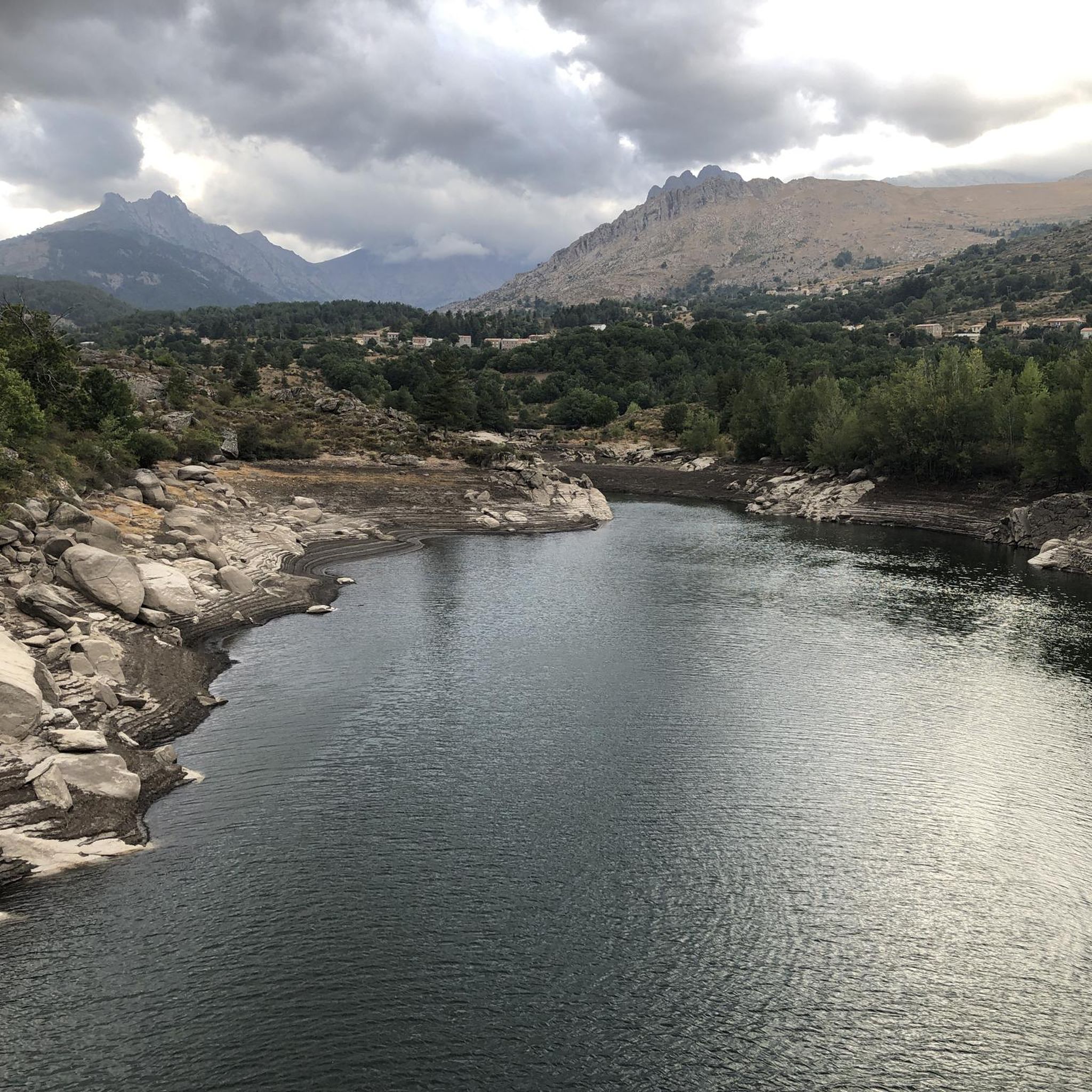
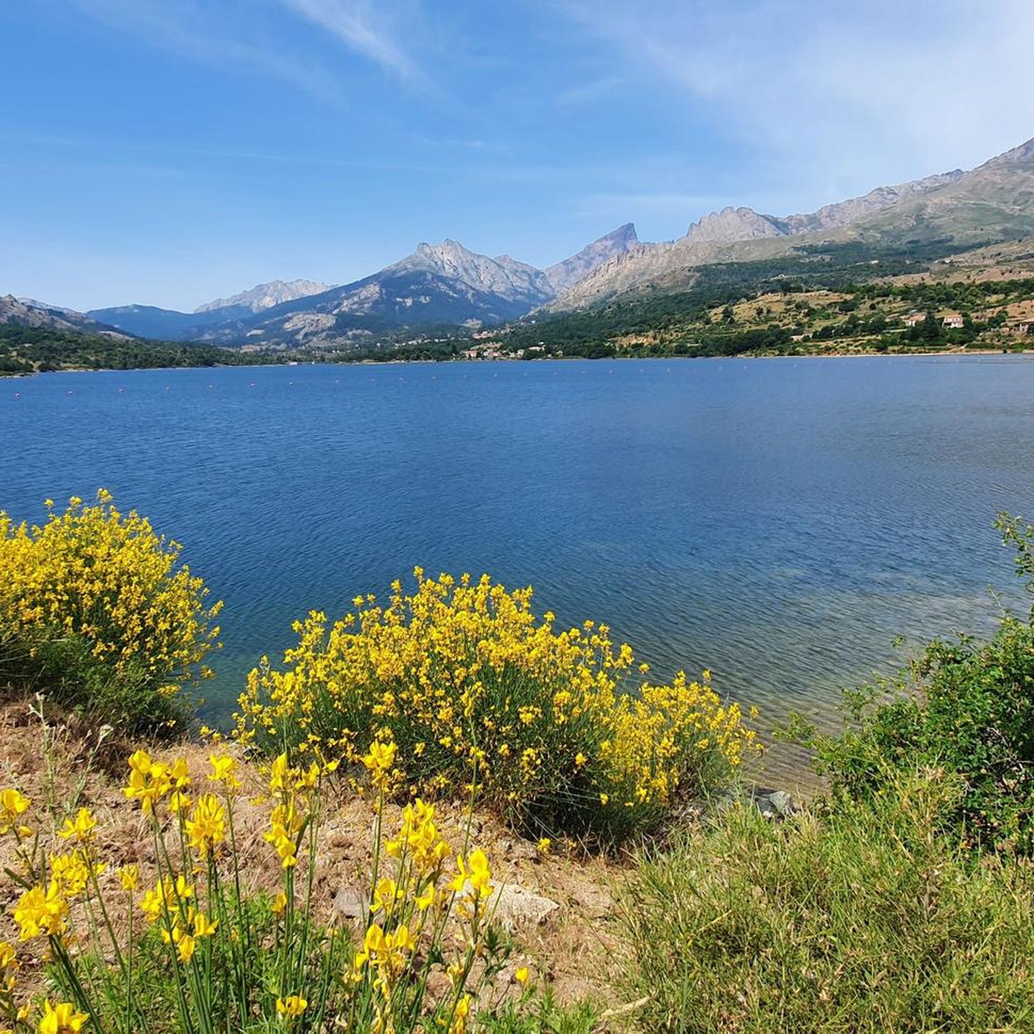
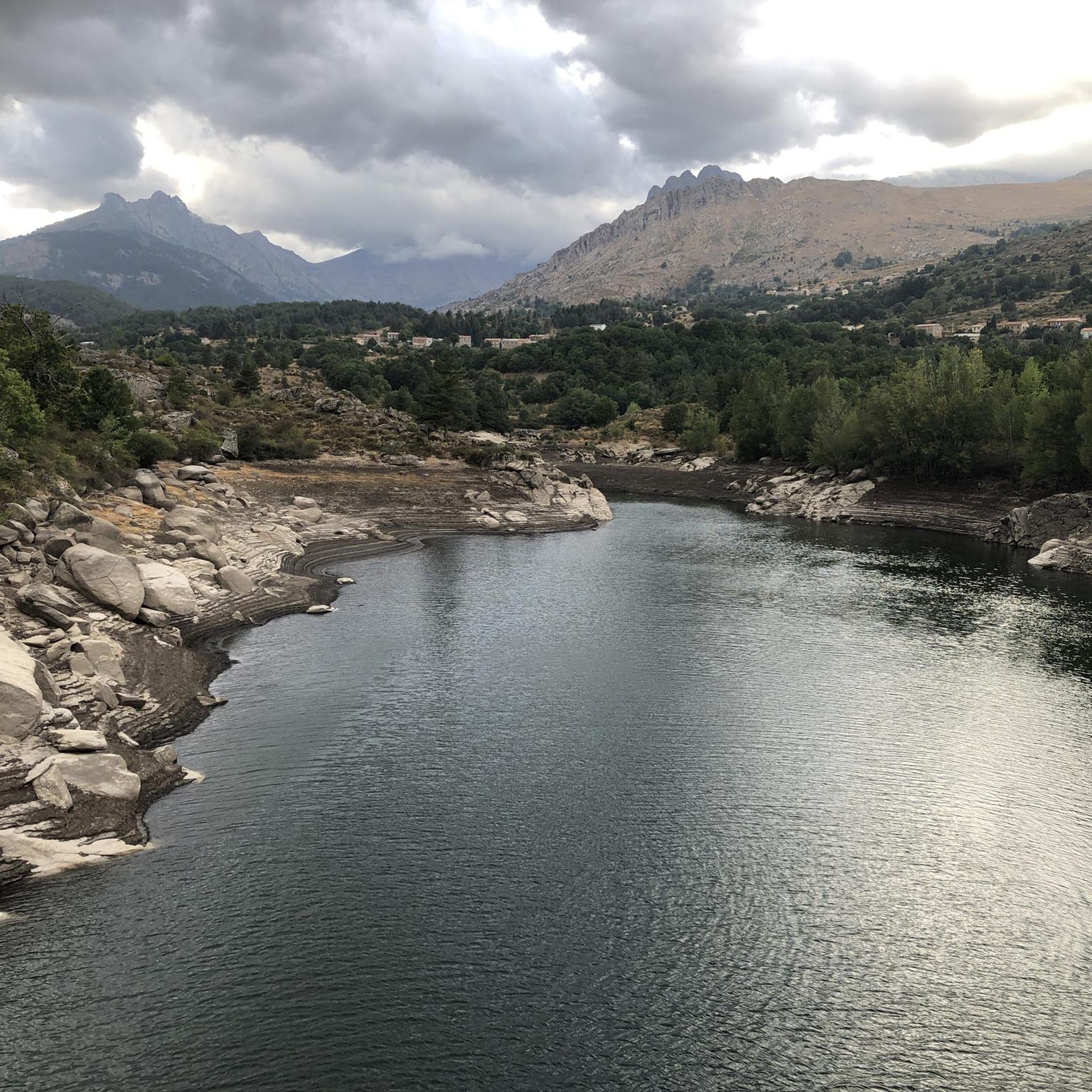
Built in 1968, the Calacuccia Dam retains water from the Golo River. Its lake is shared between the communes of Calacuccia and Casamaccioli in the Niolo region.
0
0

Can be found occasionally in Corsica
1
1
Full throttle track. Very nice
1
1
Frequently Asked Questions
How many mountain bike trails are available around Lac De Calacuccia?
There are 8 mountain bike trails around Lac De Calacuccia, offering a range of difficulties from easy to difficult. This includes 1 easy, 4 moderate, and 3 difficult routes, catering to various skill levels.
What kind of terrain can I expect on mountain bike trails near Lac De Calacuccia?
The terrain around Lac De Calacuccia is highly diverse, ranging from high-altitude mountain paths with views of peaks like Monte Cinto and Paglia Orba, to deep forests and valleys. You'll encounter challenging sections, including those within the Scala di Santa Regina Gorge, and varied surfaces from herbaceous environments to wooded areas. Some routes may require pushing your bike due to technical difficulty.
Are there any family-friendly mountain bike trails in the area?
Yes, there are options suitable for families. While many routes offer significant challenges, there is 1 easy trail available. For a moderate option that still provides scenic views without extreme difficulty, consider the Calacuccia loop from Calacuccia, which is 17.0 km long.
What is the best time of year for mountain biking around Lac De Calacuccia?
Lac De Calacuccia, being in the upper Golo valley, experiences cool, dry summers and wet, temperate winters. This makes for pleasant conditions for outdoor pursuits for much of the year. The dry summer months are generally ideal, but spring and autumn can also offer excellent riding with cooler temperatures and vibrant scenery.
Are there any circular mountain bike routes around Lac De Calacuccia?
Yes, many of the trails are designed as loops. For example, the challenging Gnarled Tree Stump – Ponte Altu loop from Calacuccia covers 45.6 km, while the moderate Gnarled Tree Stump loop from Calacuccia is 16.2 km. Another moderate option is the Gnarled Tree Stump loop from Lozzi, at 18.7 km.
What do other mountain bikers say about the trails in Lac De Calacuccia?
The mountain bike trails around Lac De Calacuccia are highly rated by the komoot community, with an average score of 4.4 stars from over 30 reviews. Mountain bikers often praise the dramatic Corsican mountain scenery, the diverse terrain, and the thrilling challenges offered by the routes.
Are there any particularly challenging mountain bike trails for experienced riders?
Absolutely. For experienced mountain bikers seeking a challenge, routes like the Gnarled Tree Stump – Ponte Altu loop from Calacuccia stand out. This difficult 45.6 km trail features over 1000 meters of elevation gain. Another demanding option is the Calacuccia – Calacuccia Dam loop from Lozzi, which is 33.9 km long with over 1100 meters of elevation gain.
What natural features or landmarks can I expect to see while mountain biking?
You'll be surrounded by majestic mountainous terrain, including prominent peaks like Monte Cinto, Paglia Orba, and Cinque Frati. The Golo river has carved the spectacular Scala di Santa Regina Gorge, which is a notable feature. The trails also offer views of Lac de Calacuccia itself and traverse diverse ecosystems, from deep forests to open herbaceous areas.
Is there parking available near the mountain bike trailheads?
While specific parking locations for each trailhead are not detailed, the region is well-equipped for outdoor recreation. Given the presence of towns like Calacuccia and Lozzi, and the general infrastructure for tourism, you can expect to find parking options in or near these villages, which serve as common starting points for many routes.
Are there any guided mountain biking tours or rentals available in the Lac De Calacuccia area?
Yes, local associations such as AS Niolu offer guided mountain biking tours. This indicates a well-developed infrastructure for outdoor recreation in the region. Mountain bike rentals are also available, making it easier for visitors to explore the trails even if they don't bring their own equipment.
What is the elevation gain like on the mountain bike trails around Lac De Calacuccia?
The trails around Lac De Calacuccia feature significant elevation changes, reflecting the mountainous nature of the Niolu region. Difficult routes can have over 1000 meters of elevation gain, such as the Gnarled Tree Stump – Ponte Altu loop from Calacuccia with 1065m up. Even moderate trails like the Calacuccia loop from Calacuccia can involve nearly 600 meters of climbing.
Are there any cafes or places to eat near the mountain bike trails?
The main villages in the area, such as Calacuccia and Lozzi, are likely to have cafes, restaurants, or small shops where you can refuel before or after your ride. These villages serve as central points for many of the trails, making them convenient stops for refreshments.
Most popular routes around Lac De Calacuccia

Get inspired with the komoot mobile app


Explore more
Browse the best MTB trails in other regions.
