The best running trails around Etangs Du Romelaëre
4.4
(161)
8,694
runners
599
runs
Jogging around Etangs Du Romelaëre offers routes through a National Nature Reserve, characterized by a diverse landscape of land and water. This former peat extraction site features interconnected ponds, rivers, reed beds, and peaty woods. The terrain is generally flat with well-maintained paths, making it suitable for various running activities. The reserve's natural environment provides a setting for outdoor exercise.
Best jogging routes around Etangs Du Romelaëre
- The most popular jogging route is Clairmarais Forest loop from Clairmarais, a…
Last updated: July 8, 2026
174
runners
12.8km
01:23
70m
70m
Moderate run. Good fitness required. Mostly paved surfaces. Suitable for all skill levels.
4.0
(1)
200
runners
23.9km
02:39
180m
180m
Hard run. Very good fitness required. Mostly paved surfaces. Suitable for all skill levels.

Sign up for free
53
runners
6.10km
00:38
20m
20m
Moderate run. Good fitness required. Mostly paved surfaces. Suitable for all skill levels.
32
runners
Hard run. Very good fitness required. Mostly paved surfaces. Suitable for all skill levels.
22
runners
6.74km
00:44
70m
70m
Moderate run. Good fitness required. Mostly paved surfaces. Suitable for all skill levels.
Get access to more routes and recommendations from other explorers.
Sign up for free
Already have an account?
Our route recommendations are based on thousands of hikes, rides, and runs completed by other people on komoot.
Start today with a free account
Your next adventure awaits.
Login or Signup

Tips from the Community

Considering the pedestrian bridge, this is not exactly a cycle path.
8
0
(Tattoo) Jean-Yves Demaret is based in St Omer as a tattoo artist. So he definitely has drawing skills.
7
0
This 22m high bunker protrudes like a mountain of concrete above the fôret d'Eperlecques. It was built as a launching pad to bombard London with V2 rockets. The 5m thick concrete capstone was gradually lifted with a jack system as construction progressed. He had to protect the workers from the bombardments. But on August 27, 1943, 185 "flying fortresses" launched in England dropped several tons of bombs on the bunker. Numerous deportees who were employed there died in the bombardment. The bunker was then enlarged to house a liquid oxygen plant.
8
0

Great forest to walk away from cars.
2
0
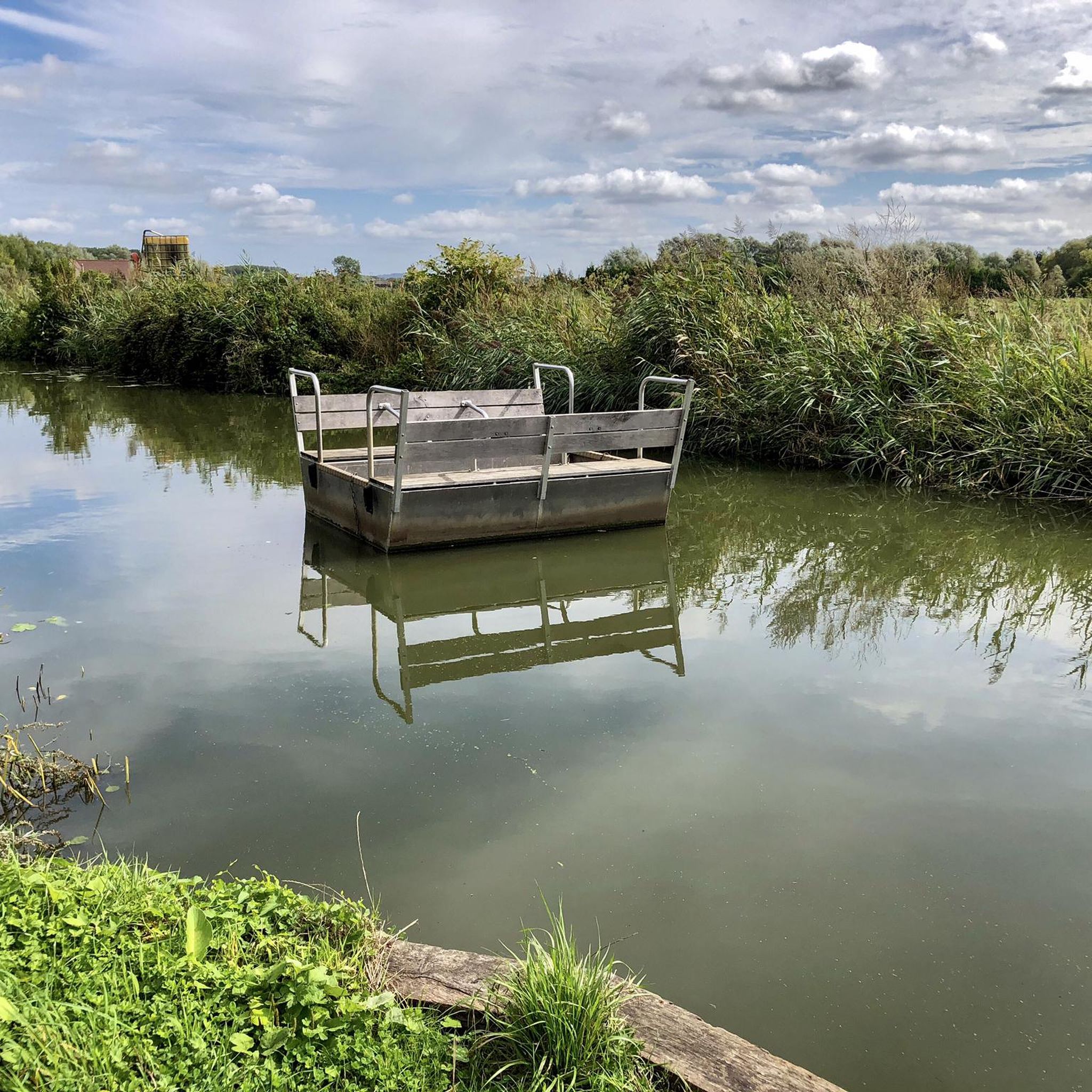
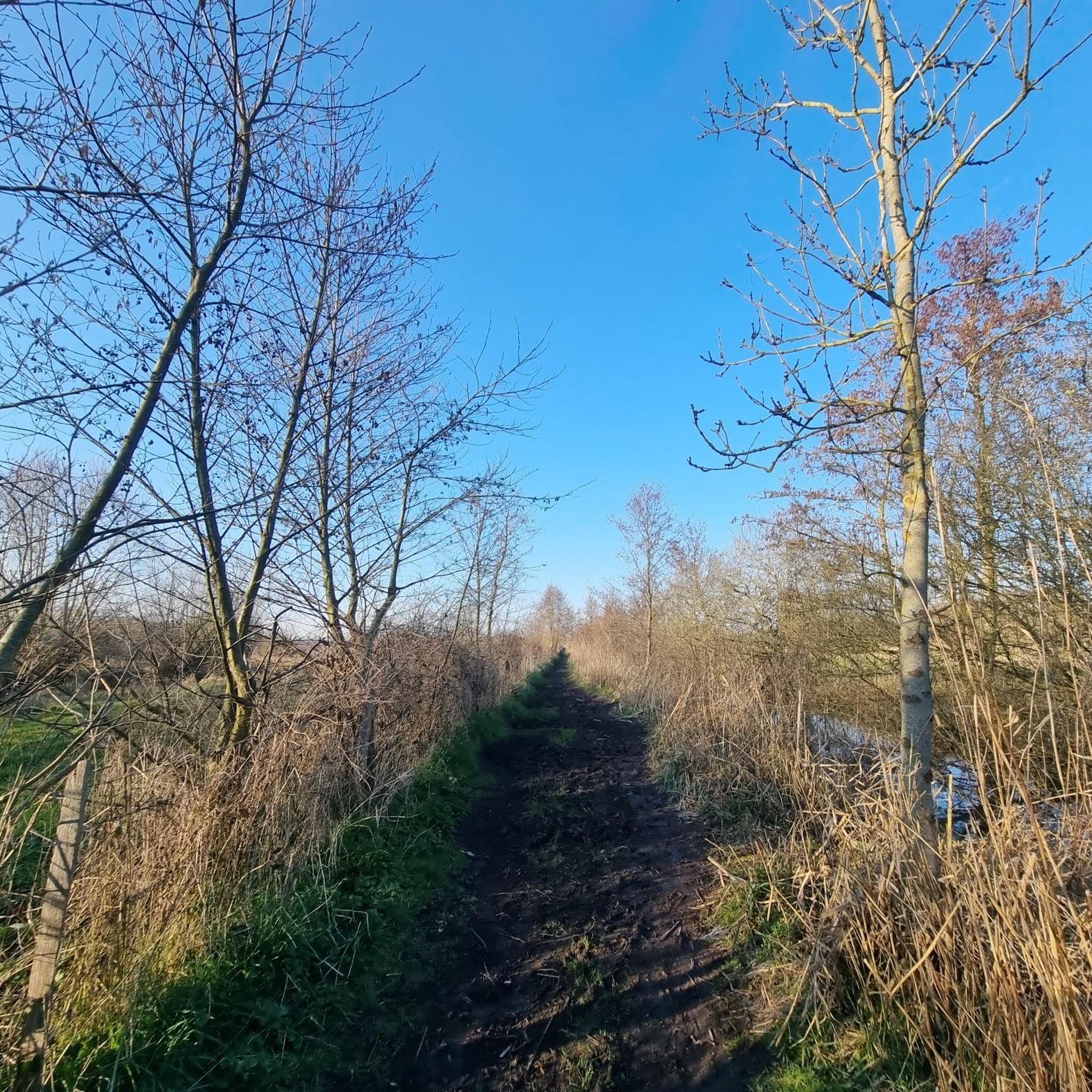
Narrow dirt road along the Booneghem river before reaching the footbridge and the marshes.
4
0

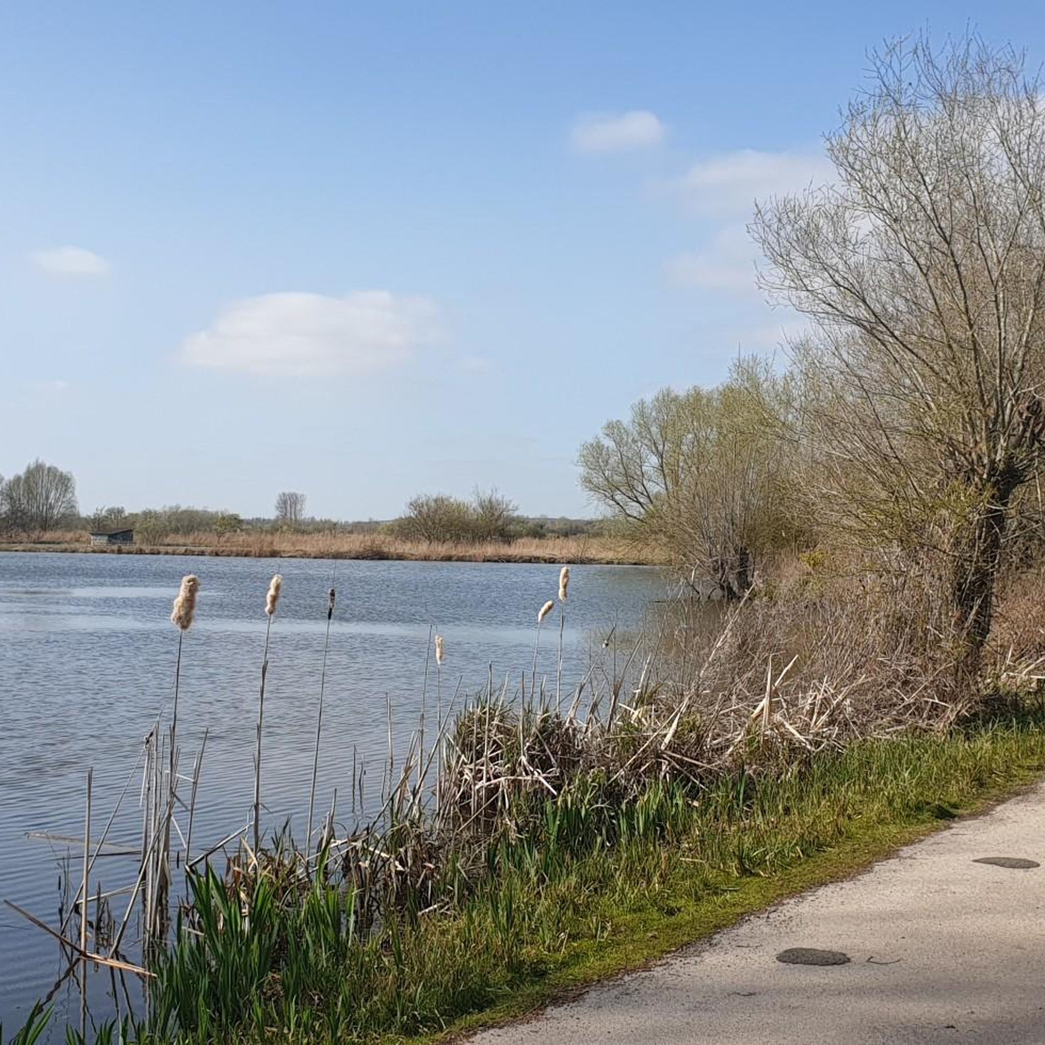
very beautiful forest as a whole with its lakes
2
0

Well worth a visit. But check the opening times. as they vary throughout the year
3
1

Frequently Asked Questions
How many running routes are available in Etangs Du Romelaëre?
There are over 560 running routes available in Etangs Du Romelaëre, offering a wide variety of options for different preferences and fitness levels. The komoot community has explored these trails over 7,000 times.
What is the typical terrain like for running in Etangs Du Romelaëre?
The terrain in Etangs Du Romelaëre is generally flat, with well-maintained paths that are ideal for jogging. As a former peat extraction site, the landscape features a unique aquatic ambiance with interconnected ponds, rivers, and peaty woods, providing a scenic and relatively easy running experience.
Are there running routes suitable for beginners or easy runs?
Yes, Etangs Du Romelaëre offers many easy and accessible routes perfect for beginners or those looking for a relaxed run. Out of the over 560 routes, 46 are classified as easy. The reserve also features marked trails, including a 2 km route specifically adapted for people with reduced mobility, ensuring accessibility for a wide range of visitors.
What do other runners say about the trails in Etangs Du Romelaëre?
The running routes in Etangs Du Romelaëre are highly rated by the komoot community, with an average score of 4.4 stars from over 115 reviews. Runners often praise the tranquil natural environment, the well-maintained paths, and the opportunity to observe diverse wildlife.
Can I bring my dog on the running trails in Etangs Du Romelaëre?
No, dogs are unfortunately not permitted in the Etangs Du Romelaëre National Nature Reserve, even on a leash. This rule is in place to protect the rich biodiversity and sensitive habitats within the reserve.
Are there any family-friendly running options in the area?
Yes, many of the trails in Etangs Du Romelaëre are considered family-friendly due to their easy terrain and accessibility. The reserve offers several marked trails, including shorter loops like the 'Sentier du Blongios' (2.8 km) and 'Sentier du Cormoran' (4 km round trip), which are great for families to enjoy together.
What kind of wildlife can I expect to see while running?
Etangs Du Romelaëre is a haven for biodiversity. While running, you might spot a variety of birds, including grey herons, little bitterns, and western marsh harriers. The reserve is also home to numerous insect species, including butterflies, and diverse flora like water lilies. Observatories along some trails allow for quiet wildlife viewing.
Are there any notable landmarks or natural features to look out for?
Absolutely! The reserve itself is a significant natural feature, characterized by its unique aquatic landscape of interconnected ponds, rivers, and reed beds. You can visit the Romelaëre Ponds Nature Reserve, observe from the Romelaëre Ponds Observatory, or see the Chain tray. The entire area is a former peat bog, offering a distinctive natural environment.
Where can I find more information about the reserve or local trails?
The 'Grange Nature' center in Clairmarais serves as an excellent welcoming point for visitors. It provides information about the reserve's natural treasures, nearby hiking and running options, and educational exhibits on the region's diverse landscapes, flora, and fauna. You can also find more general information about the reserve on the tourisme-saintomer.com website.
Are there any long-distance running routes for experienced runners?
Yes, for more experienced runners looking for longer distances, routes like the Trail along the Booneghem River – Street art loop from Clairmarais offer a challenging 9.8 miles (15.9 km) run. Another option is the Forest road loop from Clairmarais, which is approximately 9.9 miles (15.9 km) long.
What is the best time of year to go running in Etangs Du Romelaëre?
The reserve is generally open from March 15 to December 15. Spring and autumn are particularly pleasant for running, offering mild temperatures and beautiful seasonal changes in the landscape. The diverse flora and fauna are also very active during these periods, enhancing the natural experience.
Are there any circular running routes available?
Many of the running routes in Etangs Du Romelaëre are designed as loops, providing convenient circular options. For example, the Clairmarais Forest loop from Clairmarais is a popular circular route covering 7.9 miles (12.8 km) through the local forest.
What is the longest running route available in the area?
One of the longer running routes is the Trail along the Booneghem River – Street art loop from Clairmarais, which spans approximately 9.8 miles (15.9 km) and leads through scenic riverine landscapes.
Most popular routes around Etangs Du Romelaëre
Most popular attractions around Etangs Du Romelaëre

Get inspired with the komoot mobile app


Explore more
Browse the best Running Trails & Routes in other regions.
