The best cycling routes around Estany De La Pradella
4.1
(129)
4,553
riders
131
rides
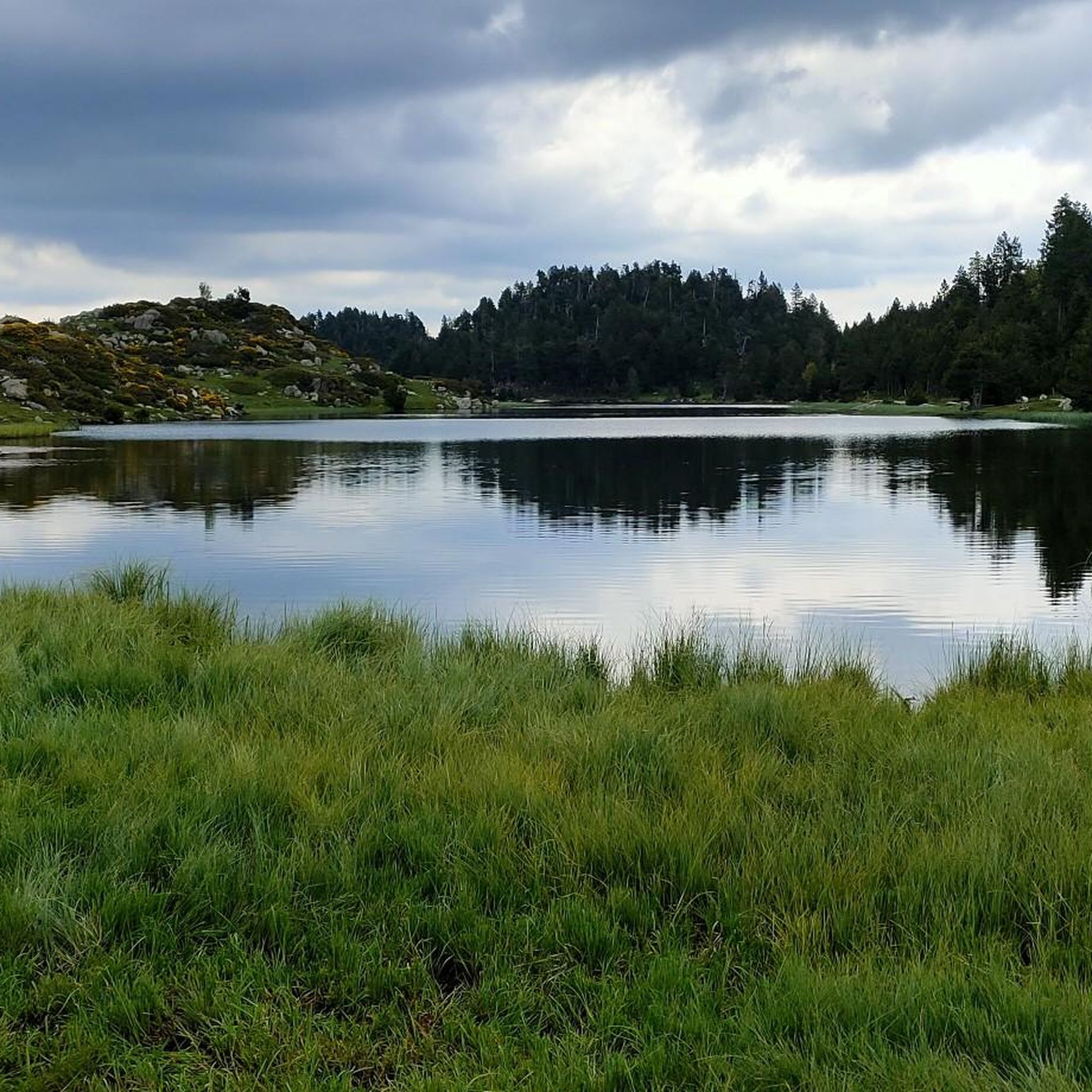
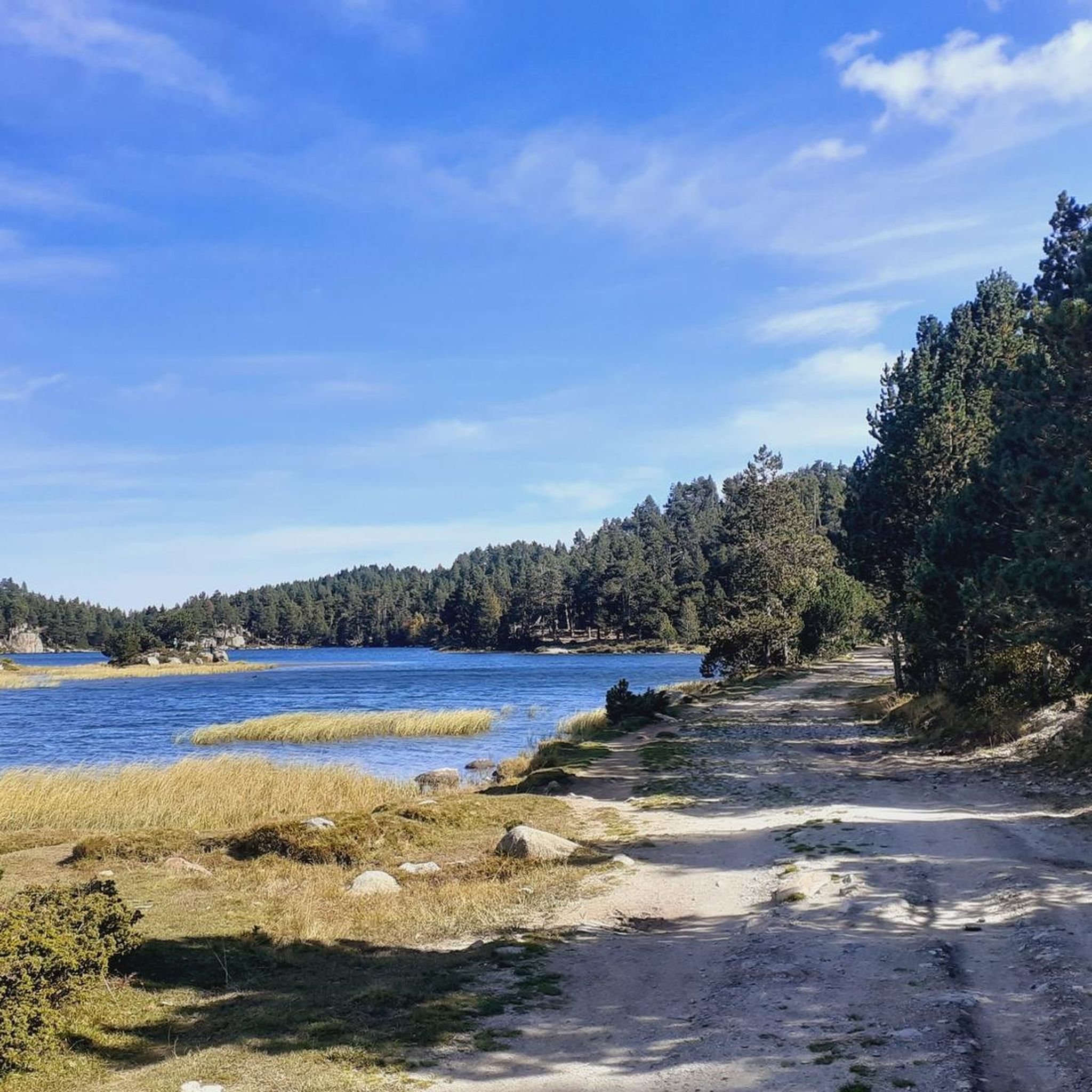
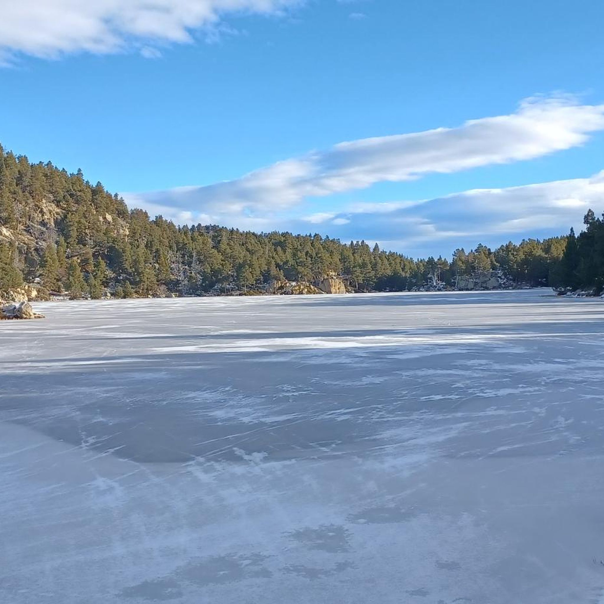
Touring cycling around Estany De La Pradella offers routes through a high-altitude, mountainous environment in the French Pyrénées-Orientales. The landscape features glacial basins, prominent peaks like Carlit, and lush meadows. Clear mountain lakes are characteristic of the area, providing a serene backdrop for cycling.
Best touring cycling routes around Estany De La Pradella
- The most popular touring cycling route is Bouillouses Refuge – Lac du Raco loop from Lac des Bouillouses, a 12.7 miles (20.4 km) trail that takes…
Last updated: June 29, 2026
4.5
(6)
41
riders
20.4km
01:45
440m
440m
Moderate bike ride. Good fitness required. Mostly paved surfaces. Suitable for all skill levels.
5.0
(1)
26
riders
15.4km
01:09
340m
340m
Hard bike ride. Good fitness required. You may need to push your bike for some segments of this route.

Sign up for free
16
riders
12.7km
01:21
270m
270m
Moderate bike ride. Good fitness required. Mostly paved surfaces. Suitable for all skill levels.
2.0
(1)
5
riders
10.8km
01:05
170m
170m
Moderate bike ride. Good fitness required. Mostly paved surfaces. Suitable for all skill levels.
33
riders
Hard bike ride. Very good fitness required. You may need to push your bike for some segments of this route.
Get access to more routes and recommendations from other explorers.
Sign up for free
Already have an account?
Our route recommendations are based on thousands of hikes, rides, and runs completed by other people on komoot.
Start today with a free account
Your next adventure awaits.
Login or Signup

Tips from the Community

Beautiful view along the departmental road.
0
0

Lake Matemale with its beautiful beaches is located at an altitude of 1500 metres and therefore the water is between 19 and 23°.
1
1

Located inconspicuously next to the road, a small Stations of the Cross lead to Mount Calvary. A magnificent view from the top.
0
0


Well, starting from Font Romeu and breaking legs from Mont Louis
0
0


The Col de la Calvaire de Font Romeu is a mountain pass in French Cerdanya, next to the town and ski resort of Font Romeu. This port connects the Bolquère valley with the Cerdanya valley. The port is within the same town of Font Romeu, next to the station's ski lifts. There are many slopes to reach Col de la Calvaire: - the western slope that starts from Ur is approximately 16 km and crosses the town of Targasone and the Col d'Egat. It is a very steep climb along a road in perfect condition, although on holidays there is a lot of traffic. - The southern slope starts from Llívia and crosses Estavar and joins the previous one at the Col d'Egat. Unlike the first, the first section of the climb is very hard, with several horseshoe curves and with wonderful views of the entire Cerdanya and the Tosa d'Alp. - The eastern slope stops at Olette, and after approximately 28 km it reaches the top of the pass, passing through the town of Mont-Louis and Bolquère. It is a very steep climb, like the first, on a road in perfect condition but with a lot of traffic. I don't like going up here. - the eastern slope that starts from Olette and passes through the Col de la Perche, reaching the town of Font-Romeu and from there to the top. Of all the slopes, the one I like the most is the slope that starts from Llívia and crosses Estavar.
0
0
It is a port with a lot of traffic, especially in the month of August. It is very open and often has headwinds, with long straights that make it a stinky pass. It has several slopes, all characterized by being long and with smooth percentages. The most beautiful thing about Col de la Quillane are the views of Lake Matemale from its northern slope.
0
0
Frequently Asked Questions
How many touring cycling routes are available around Estany De La Pradella?
There are over 120 touring cycling routes in the Estany De La Pradella area, catering to various skill levels. You'll find a good mix of easy, moderate, and difficult trails to explore.
What kind of terrain can I expect on touring cycling routes near Estany De La Pradella?
The terrain around Estany De La Pradella is characterized by a high-altitude, mountainous environment. You can expect glacial basins, prominent peaks, and lush meadows. Routes often feature significant elevation changes, but there are also paths around lakes that offer a more serene experience.
Are there any easy touring cycling routes suitable for beginners around Estany De La Pradella?
Yes, while many routes involve elevation, there are approximately 16 easy touring cycling routes in the area. These typically offer gentler paths, often around the lakes or through less steep valleys, perfect for those new to touring cycling in the mountains.
What is the best time of year to go touring cycling in the Estany De La Pradella region?
The best time for touring cycling in the Estany De La Pradella region is generally during the warmer months, from late spring to early autumn. This period offers more stable weather conditions and accessible trails, as the area is at a high elevation (1957 meters) and can experience snow outside of these months.
Are there any circular touring cycling routes in the area?
Yes, many routes are designed as loops, allowing you to start and finish at the same point. For example, the Bouillouses Refuge – Lac du Raco loop from Lac des Bouillouses is a popular moderate option, offering views of mountain lakes and surrounding peaks.
What do other touring cyclists enjoy most about the routes in Estany De La Pradella?
The touring cycling routes in Estany De La Pradella are highly rated by the komoot community, with an average score of 4.4 stars from over 130 reviews. Cyclists often praise the stunning high-altitude mountain scenery, the clear mountain lakes, and the diverse range of routes that cater to different fitness levels.
Can I find challenging touring cycling routes with significant elevation gain?
Absolutely. The region is known for its mountainous terrain, and there are approximately 59 difficult touring cycling routes available. For a challenging ride with notable elevation changes, consider the Col du Calvaire (Font-Romeu) – Font-Romeu loop from La Calme, which is a difficult 15.4 km path.
Are there any touring cycling routes that pass by notable natural features or viewpoints?
Yes, the entire region is rich in natural beauty. Routes often provide stunning views of the surrounding mountains, including the prominent Carlit peak, and pass by serene glacial lakes. The Idyllic landscapes loop from Pic de la Calma, for instance, leads through high-altitude meadows and offers expansive mountain vistas.
Where can I find parking for touring cycling routes around Estany De La Pradella?
While specific parking details for each route vary, the broader Pyrénées-Orientales region, including areas near popular starting points like Lac des Bouillouses or Font-Romeu, typically offers designated parking areas. It's advisable to check the specific route details on komoot for recommended starting points and parking information.
Are there options for longer touring cycling routes in the region?
Yes, for those seeking longer rides, routes like the Font-Romeu – Col de la Perche (1,579 m) loop from Pyrénées 2000 offer a substantial challenge, covering over 33 km with significant elevation gain. The wider Pyrenees also feature long-distance routes like the Vélosud, which connects the Atlantic to the Mediterranean.
Are there any touring cycling routes suitable for families with children?
While the high-altitude and mountainous nature of the region means many routes have elevation, the easier trails (around 16 available) are generally more suitable for families. These routes often follow gentler paths around the lakes or through valleys, providing a more relaxed cycling experience for all ages.
What kind of surface can I expect on the touring cycling routes?
The routes in the Estany De La Pradella area can feature a mix of surfaces. While some may be paved roads, especially connecting villages or passes, many trails in the high-altitude environment will likely include gravel paths or compacted dirt tracks. It's best to check individual route descriptions for specific surface details.
Most popular routes around Estany De La Pradella

Get inspired with the komoot mobile app


Explore more
Browse the best Cycling routes in other regions.
