The best walks and hikes around la Vall d'Albaida
4.5
(2671)
14,696
hikers
238
hikes
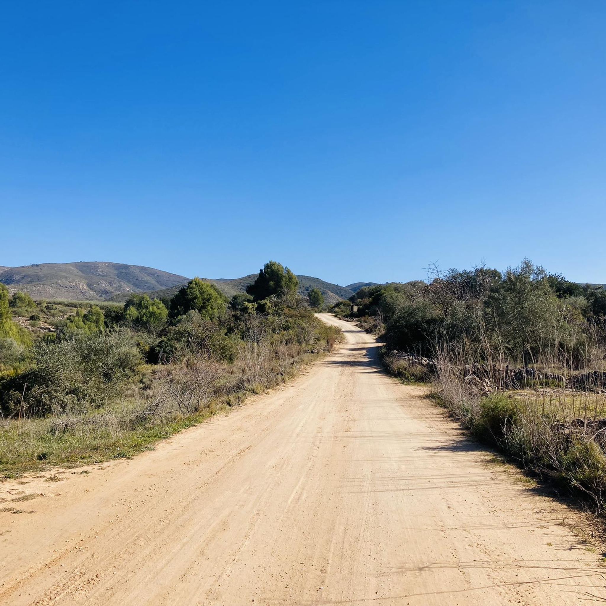
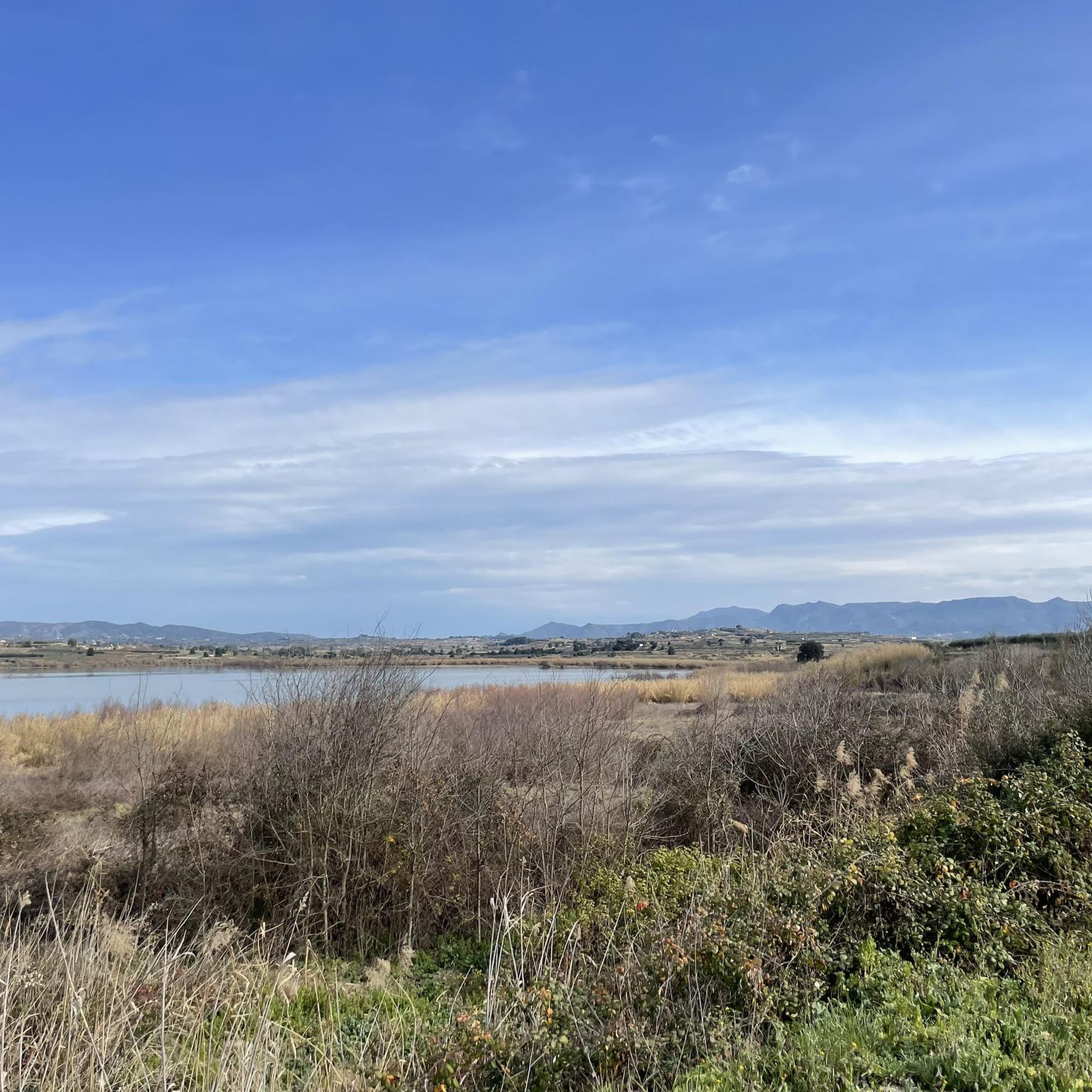
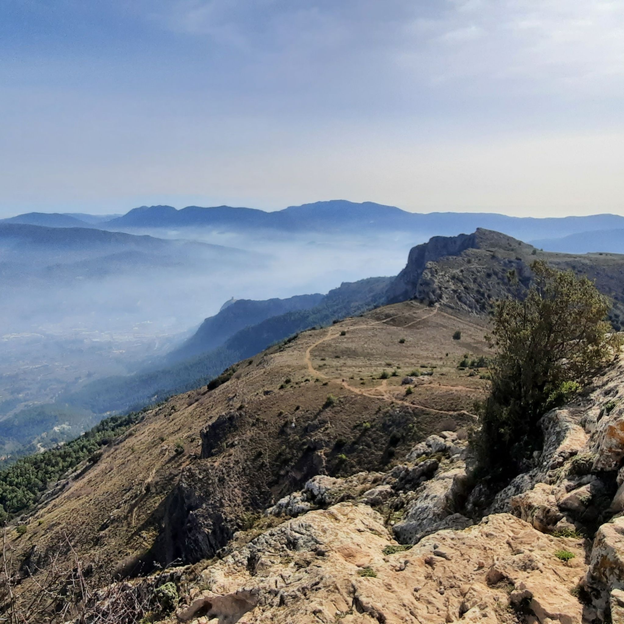
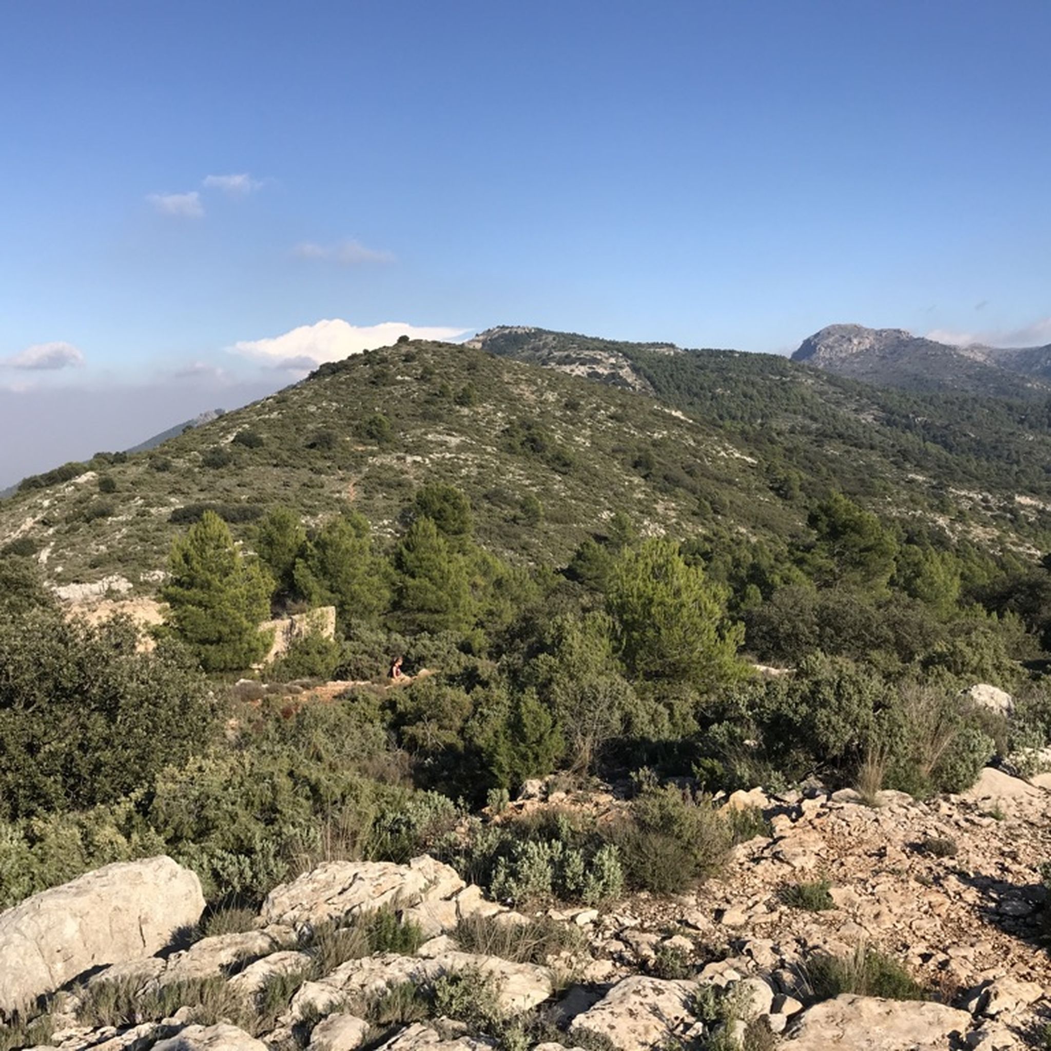
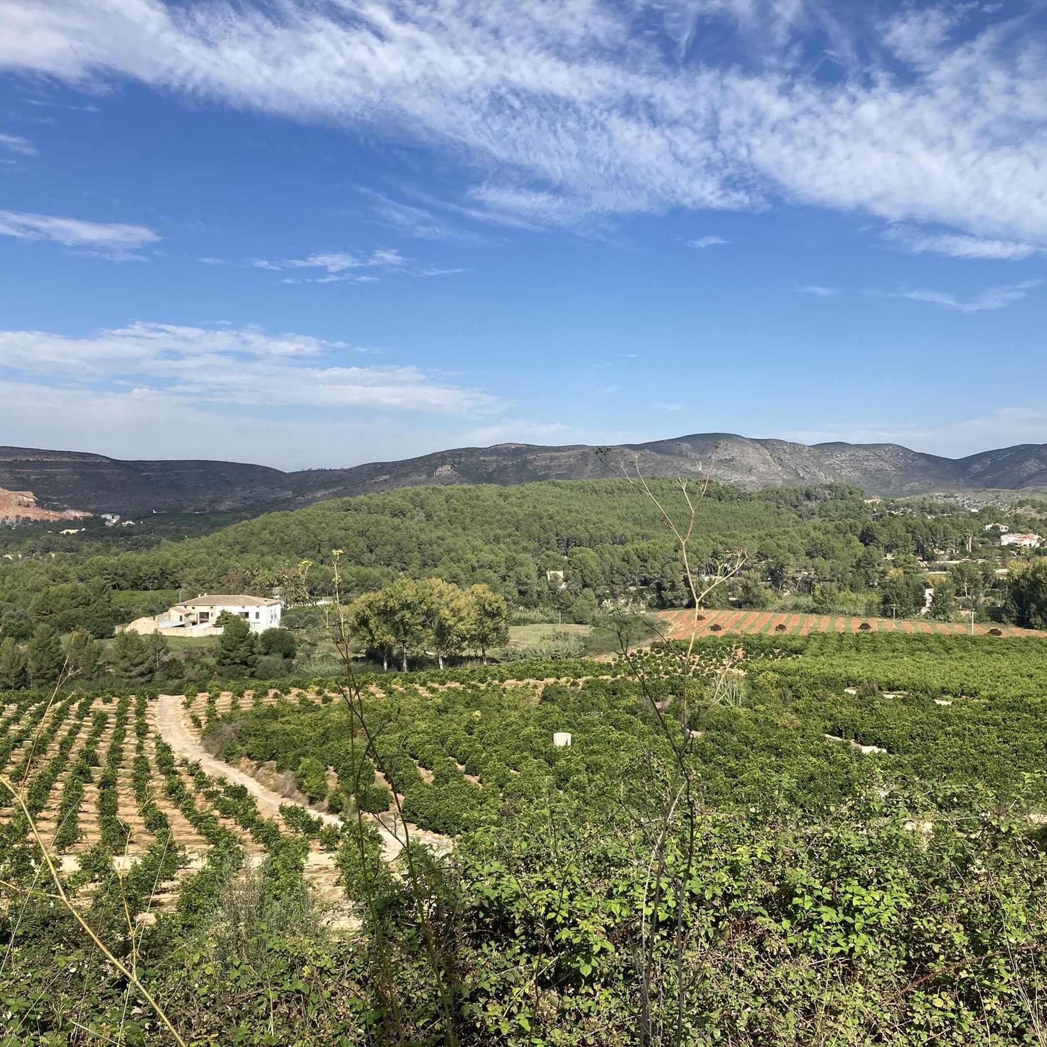
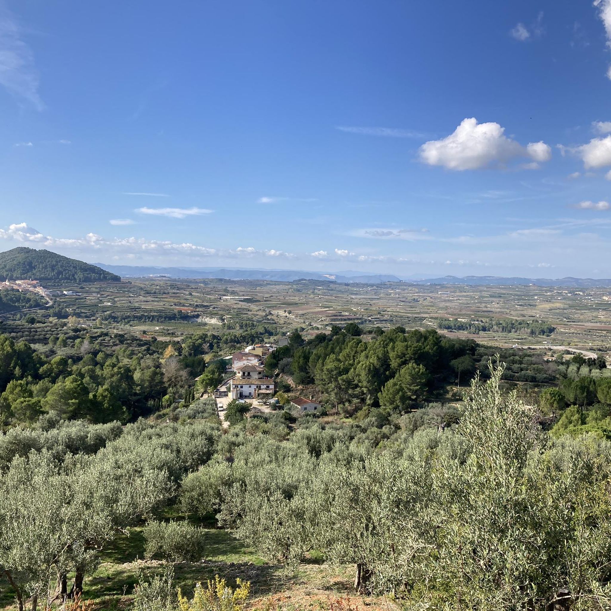
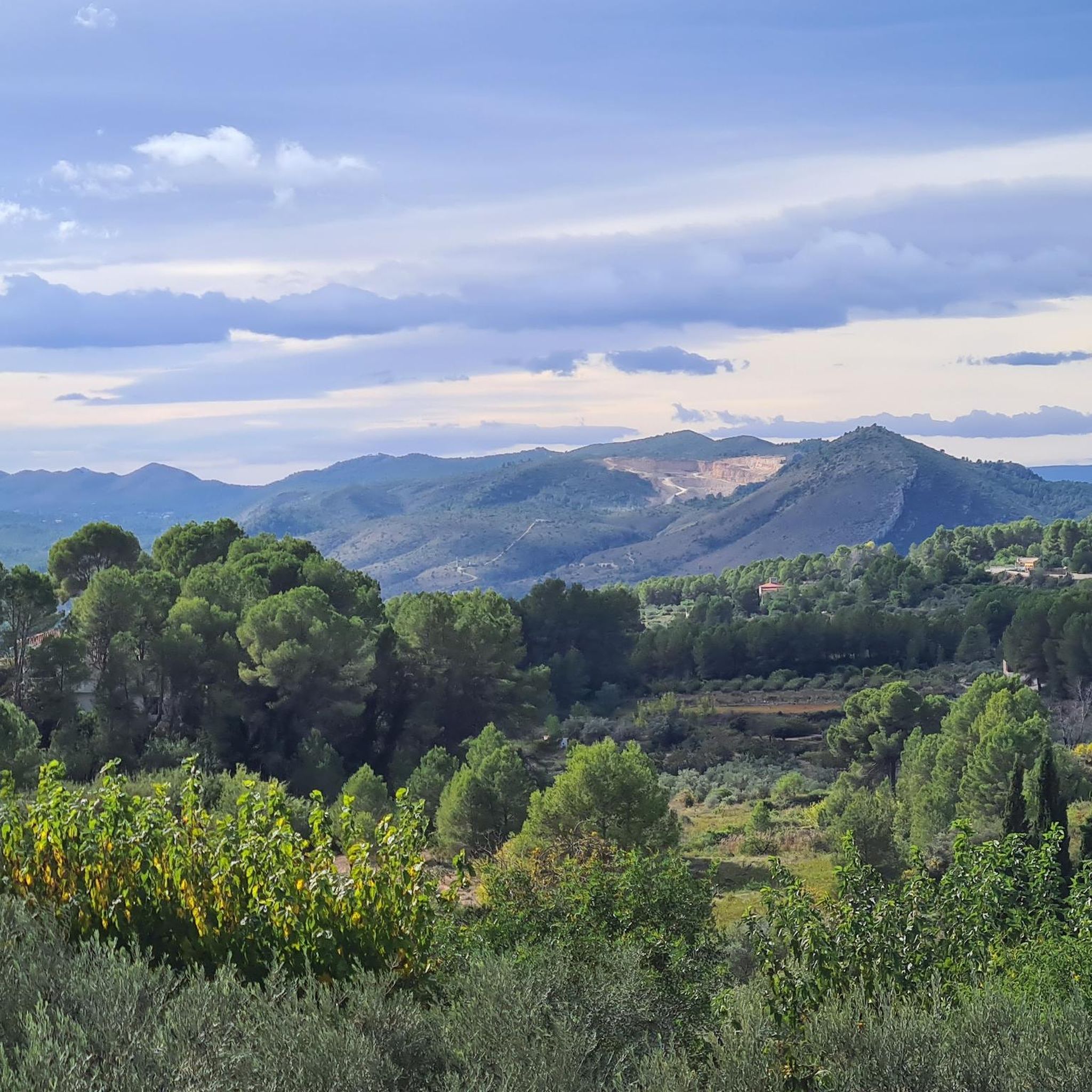
Hiking around la Vall d'Albaida offers diverse landscapes within the province of Valencia, characterized by significant mountain ranges such as Mariola Sierra, Sierra Grossa, and Benicadell. The region features serene river environments, including the Clariano and Albaida rivers, alongside natural pools like Pou Clar. Hikers can also traverse agricultural landscapes with vineyards and olive groves, providing varied terrain for exploration.
Best hiking trails around la Vall d'Albaida
- The most popular hiking route is Ombria del Benicadell Trail (PR-CV 213),…
Last updated: October 10, 2026
4.8
(12)
140
hikers
16.4km
06:03
700m
700m
Hike the difficult 10.2-mile (16.4 km) Shade of Benicadell (PR-CV 213) circular trail from Beniatjar, gaining 2302 feet (702 metres).
4.0
(5)
19
hikers
14.4km
04:50
530m
530m
Hike the moderate 8.9-mile Barranc dels Tarongers Trail (PR-CV 122) near Bocairent, exploring ravines, history, and the Pou Clar Natural Poo

5.0
(16)
38
hikers
5.96km
02:10
230m
230m
Hike the moderate Penyes Albes Trail, a 3.7-mile (6.0 km) loop near Aielo de Rugat, offering 750 feet (228 metres) of elevation gain.
4.7
(7)
12
hikers
9.04km
03:07
400m
400m
Moderate hike. Good fitness required. Mostly accessible paths. Sure-footedness required.
4.3
(4)
11
hikers
9.48km
02:58
360m
360m
Moderate hike. Good fitness required. Easily-accessible paths. Suitable for all skill levels.
8
hikers
Hard hike. Very good fitness required. Mostly accessible paths. Sure-footedness required.
4.5
(2)
6
hikers
10.3km
03:13
370m
370m
Hike the 6.4-mile (10.3 km) circular route from Pinet through El Surar Natural Site, exploring unique cork oak forests and mountain views.
Hard hike. Very good fitness required. Easily-accessible paths. Suitable for all skill levels.
4.6
(26)
80
hikers
11.9km
03:09
110m
110m
Moderate hike. Good fitness required. Easily-accessible paths. Suitable for all skill levels.
4.7
(10)
93
hikers
Moderate hike. Good fitness required. Mostly accessible paths. Sure-footedness required.
Get access to more routes and recommendations from other explorers.
Already have an account?
Our route recommendations are based on thousands of hikes, rides, and runs completed by other people on komoot.
Start today with a free account
Your next adventure awaits.



Other adventures around la Vall d'Albaida


Tips from the Community

Bocairent is really a place worth seeing. When you drive down the road outside, you have a great view of the caves and then of course of the entire town.
1
0
Great view of the caves from above. If you are planning a visit, be sure to check the opening hours.
1
0
A very pretty little town. At the beginning of the week in March, it's still very much in its winter slumber. Restaurants are hard to find.
0
0

From the outside, the Covetes resemble a swarm of windows cut into the rock, resembling a wasp's nest. There are some 50 visible openings that provide access to interconnected interior chambers. This image is especially striking from the path that borders the ravine, where the magnitude and symmetry of the complex can be appreciated.
4
0
The view from Les Covetes dels Moros in Bocairent is one of the most impressive and unique in the Valencian Community. This group of artificial caves is carved into a vertical rock face in the Fos ravine, about 300 meters from the old town.
4
0
The Bocairent Arch, also known as the Sant Agustí Gate, is one of the most picturesque entrances to the old town of this charming Valencian village. It is a medieval stone archway that welcomes visitors as they enter the Town Hall Square, the heart of Bocairent's civic life.
3
0
The Hermitage of the Holy Christ of Bocairent is one of the most emblematic and spiritual places in the municipality, both for its history and its privileged location. Built in the 16th century, the hermitage is located atop a mountain north of the town. According to local legend, travelers—believed to be angels sent by God—indicated the exact spot where the cult building was to be built. Before this revelation, locals had seen three mysterious lights symbolizing the three crosses of Mount Calvary.
3
0
The view of Bocairent from the Pont de Darrere la Vila path is one of the most iconic and photogenic in the town. This ancient stone bridge, which crosses the Clariano River, offers a unique perspective of the medieval quarter of La Vila, with its hanging houses, Arabic tiled roofs, and cobblestone streets rising from the hillside.
4
0
Frequently Asked Questions
How many hiking trails are available in la Vall d'Albaida?
La Vall d'Albaida offers a wide selection of routes, with over 220 hiking trails documented on komoot. These range from easy strolls to challenging mountain ascents, catering to various skill levels.
What types of terrain can I expect when hiking in la Vall d'Albaida?
The region features diverse terrain, from the rugged peaks of the Mariola Sierra and Benicadell mountain ranges to serene river environments along the Clariano and Albaida rivers. You'll also find trails winding through agricultural landscapes with vineyards, olive groves, and carob trees.
Are there any easy hiking trails suitable for beginners in la Vall d'Albaida?
Yes, la Vall d'Albaida has 56 easy trails perfect for beginners or those seeking a relaxed walk. These routes often explore the gentler river valleys and agricultural areas, providing a pleasant introduction to the region's natural beauty.
Are there any circular hiking routes in la Vall d'Albaida?
Yes, many trails in la Vall d'Albaida are circular, allowing you to start and end in the same location. An example is The route through Les Penyes Albes (PR-CV 390) — Circular from Terrateig, offering a moderate 9 km loop. Another option is Pico Buscarró y Pico Les Foietes — circular desde Pinet, a moderate 9.5 km trail.
What natural attractions or viewpoints can I discover on the trails?
Hikers can explore several natural highlights. The Alt de la Creu offers panoramic views, while the Portixol is a notable mountain pass. The region is also known for its natural springs and pools like Pou Clar, Font del Brulls, and Toll Blau.
Are there any historical landmarks or castles to see while hiking?
Beyond natural beauty, the region is rich in history. You can find ruins like La Carbonera Castle in Beniatjar, and explore sites such as the Castle of Aielo de Rugat or enjoy the View of Carrícola Castle. The charming town of Bocairent also provides access to the historic Covetes dels Moros (Moors' caves).
Can I find trails that lead to natural swimming spots?
Absolutely. The region is famous for its natural pools, particularly the Pou Clar near Bocairent, formed by the Clariano River. These crystal-clear pools, with names like 'Pou dels Esclaus' and 'Pou Gelat,' are ideal for swimming and are surrounded by hiking trails. A moderate 13.2 km loop, Pou Clar – View of Bocairent loop from Paratge Natural Municipal Serra de l'Ombria, takes you past this beautiful spot.
What is the best time of year to go hiking in la Vall d'Albaida?
La Vall d'Albaida offers pleasant hiking conditions for much of the year. Spring and autumn are particularly ideal, with mild temperatures and vibrant landscapes. Summer can be warm, making early morning or late afternoon hikes preferable, especially if you plan to visit the natural pools.
What do other hikers enjoy most about the trails in la Vall d'Albaida?
The trails in la Vall d'Albaida are highly rated by the komoot community, with an average score of 4.6 stars from nearly 600 reviews. Hikers often praise the diverse landscapes, from mountainous terrain to tranquil river valleys, and the well-maintained network of paths that cater to all abilities.
Are there any challenging hikes for experienced trekkers?
Yes, for experienced hikers, there are 24 difficult trails. The Ombria del Benicadell Trail (PR-CV 213) is a challenging 16.4 km route offering expansive views across the Benicadell mountain range. Another demanding option is El Surar, La Barraca de Pedra Seca i El Puig Agut de Llutxent (PR-CV-434) — circular desde Llutxent, a 19.5 km difficult trail.
What kind of flora and fauna can I expect to see?
The region's diverse ecosystems support a rich variety of flora and fauna. The Sierra de Mariola is particularly celebrated for its botanical diversity. Hikers can encounter Mediterranean vegetation, including aromatic herbs, and observe various bird species and other wildlife typical of mountainous and riverine environments.
Most popular routes around la Vall d'Albaida
Most popular attractions around la Vall d'Albaida

Get inspired with the komoot mobile app


Didn’t find what you were looking for?
Check out more Hikes throughout la Vall d'Albaida below and find the perfect route in your destination.
Explore more
Browse the best Hikes in other regions.
