The best mountain hikes around Lake Zurich
5.0
(6)
103
hikers
13
hikes
Mountaineering around Lake Zurich offers a diverse landscape characterized by rolling hills, dense forests, and elevated viewpoints providing vistas of the lake and distant Alps. The region features a network of trails that traverse varied terrain, from riverside paths to more challenging ascents. These routes often include sections through woodlands and open areas, with some leading to prominent local peaks or passes. The topography provides options for different levels of mountaineering experience, from moderate climbs to more demanding routes.
Best mountaineering routes around Lake Zurich
- The most popular mountaineering route is Etzelpass loop from Pfäffikon SZ, a 5.0 miles (8.1 km) trail that takes 3 hours 7 minutes to complete. This route features a moderate ascent to the Etzelpass, offering panoramic views.
- Another top favourite among local mountaineers is Sihlwald Bürglen Descent – Sihl River Path in the Sihlwald loop from Sihlwald, a moderate 8.2 miles (13.2 km) path. This trail navigates through the extensive Sihlwald forest, following the Sihl River.
- Local mountaineers also love the Ruine Manegg loop from Adliswil, a 3.9 miles (6.4 km) trail leading through forested areas and past historical ruins, often completed in about 2 hours 12 minutes.
- Mountaineering around Lake Zurich is defined by forested hills, river valleys, and elevated viewpoints. The network offers options for different ability levels, from moderate ascents to more challenging routes.
- The routes in Lake Zurich are highly rated by the komoot community with an average score of 5.0 stars from over 6 reviews. More than 100 mountaineers have used komoot to explore Lake Zurich's varied terrain.
Last updated: July 6, 2026
6
hikers
8.33km
03:11
580m
580m
Moderate mountaineering route. Good fitness required. Mostly accessible paths. Sure-footedness required.
3
hikers
Moderate mountaineering route. Good fitness required. Easily-accessible paths. Suitable for all skill levels.

Sign up for free
5.0
(1)
13
hikers
5.94km
02:02
330m
330m
Moderate mountaineering route. Good fitness required. Easily-accessible paths. Suitable for all skill levels.
5.0
(1)
4
hikers
Moderate mountaineering route. Good fitness required. Mostly accessible paths. Sure-footedness required.
5.0
(1)
25
hikers
9.91km
03:12
420m
420m
Moderate mountaineering route. Good fitness required. Easily-accessible paths. Suitable for all skill levels.
Get access to more routes and recommendations from other explorers.
Sign up for free
Already have an account?
Our route recommendations are based on thousands of hikes, rides, and runs completed by other people on komoot.
Start today with a free account
Your next adventure awaits.
Login or Signup
Popular around Lake Zurich
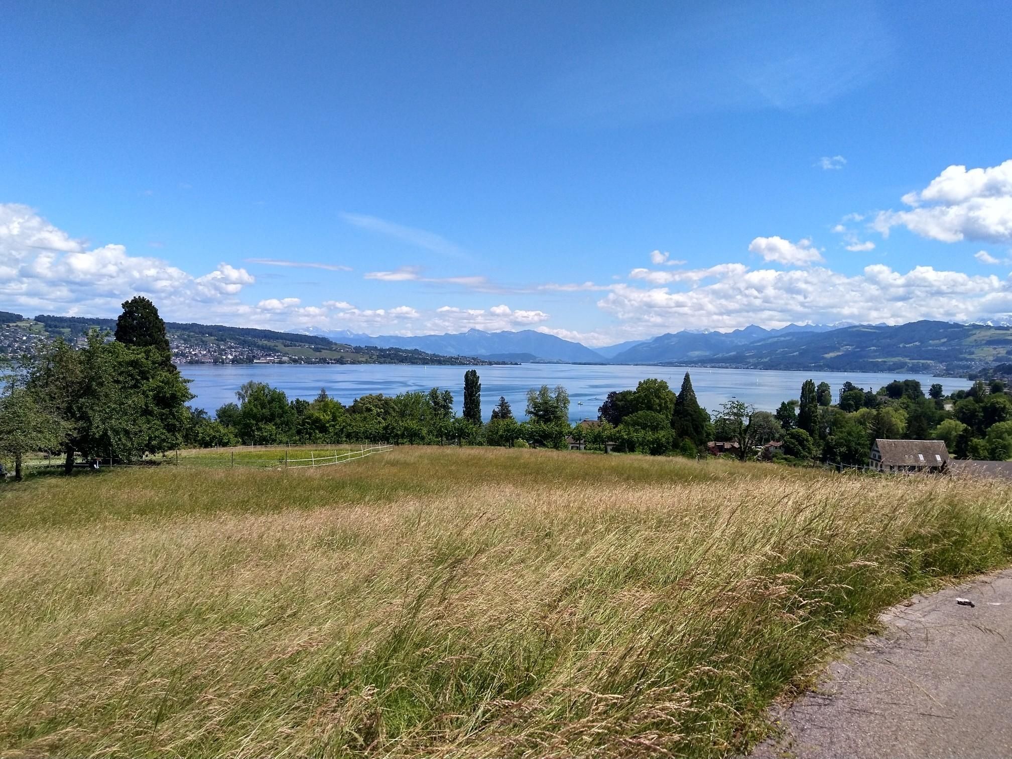
Lake Zurich loop – A land of contrasts
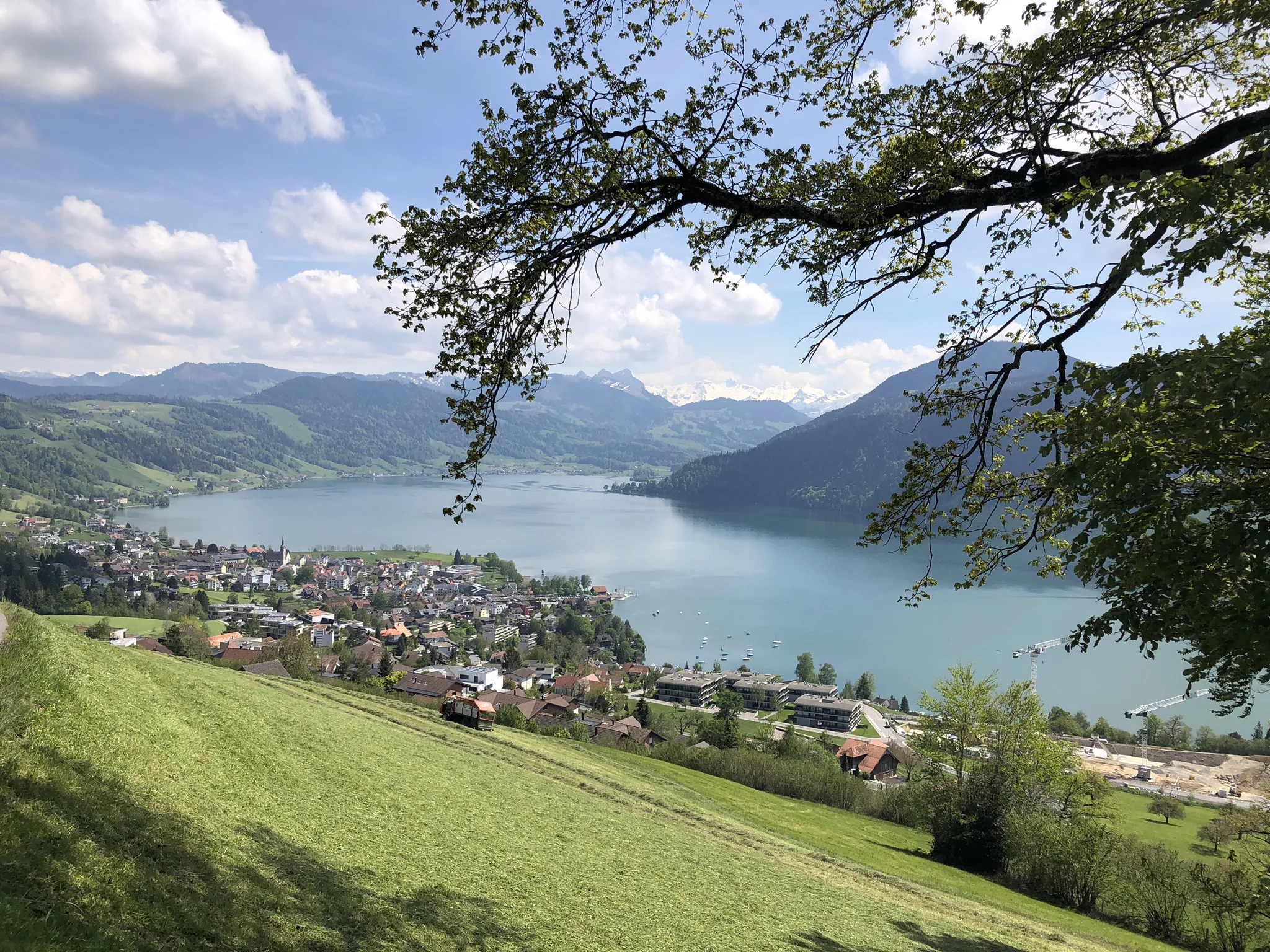
The Herzroute – Cycling through the heart of Switzerland
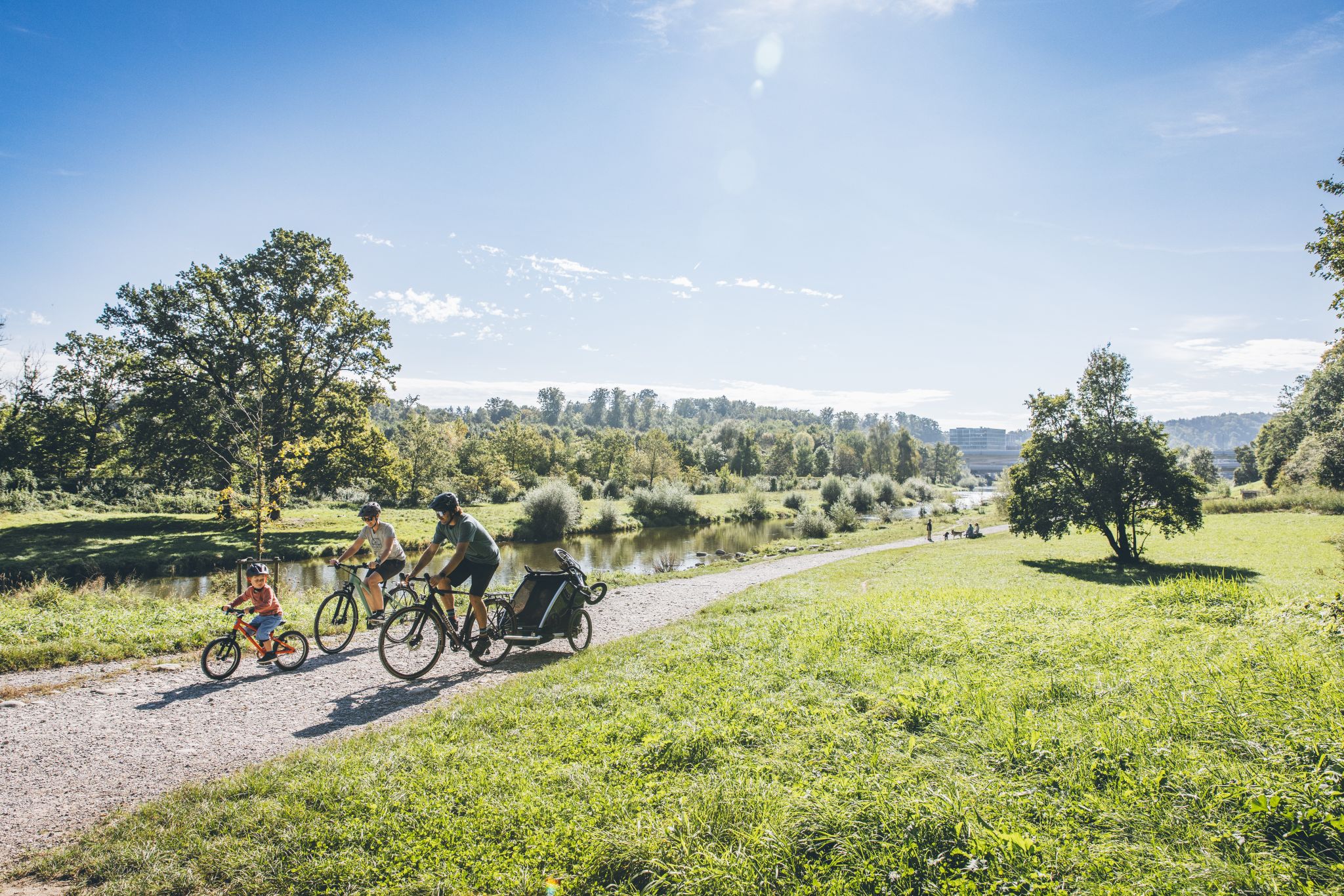
Family fun on two wheels – cycling routes with children around Zürich

Lake and Alps Adventure – explore 100 dreamy places in our cycling region!
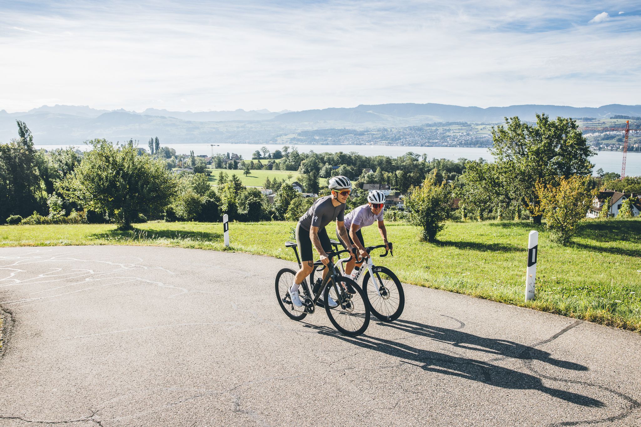
From the lake to the mountains – discover Zurich on a road bike
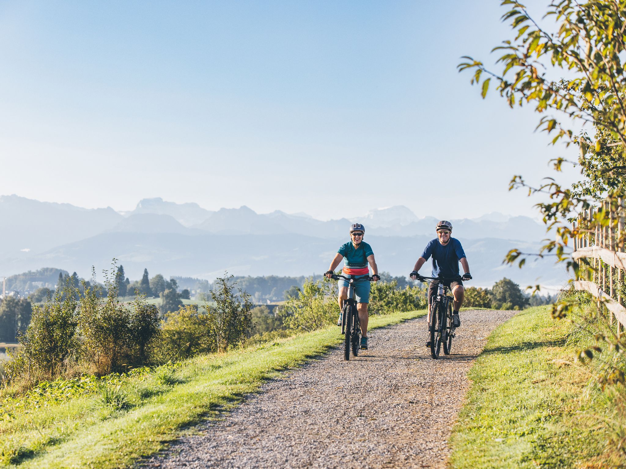
Magnificent views and nature trails – experience Zurich by e-bike
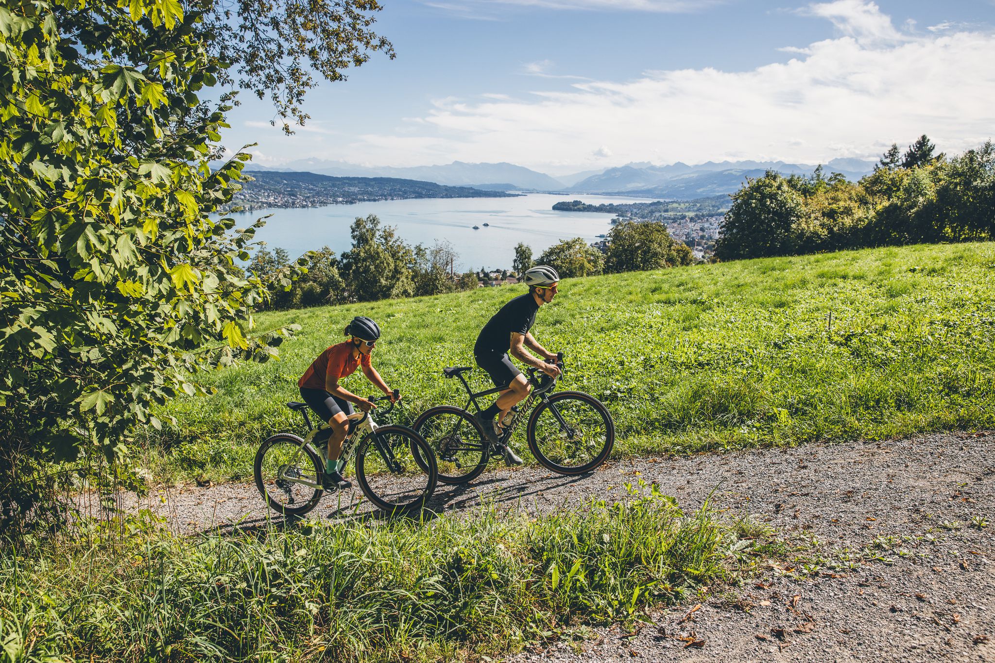
Rides in Zurich – panoramic views from your gravel bike
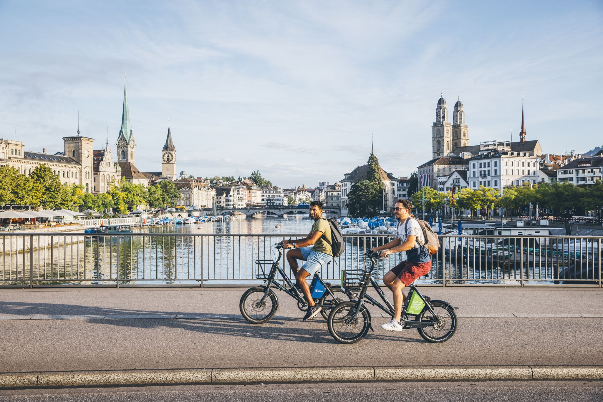
City, countryside and river – experience cultural rides in Zurich
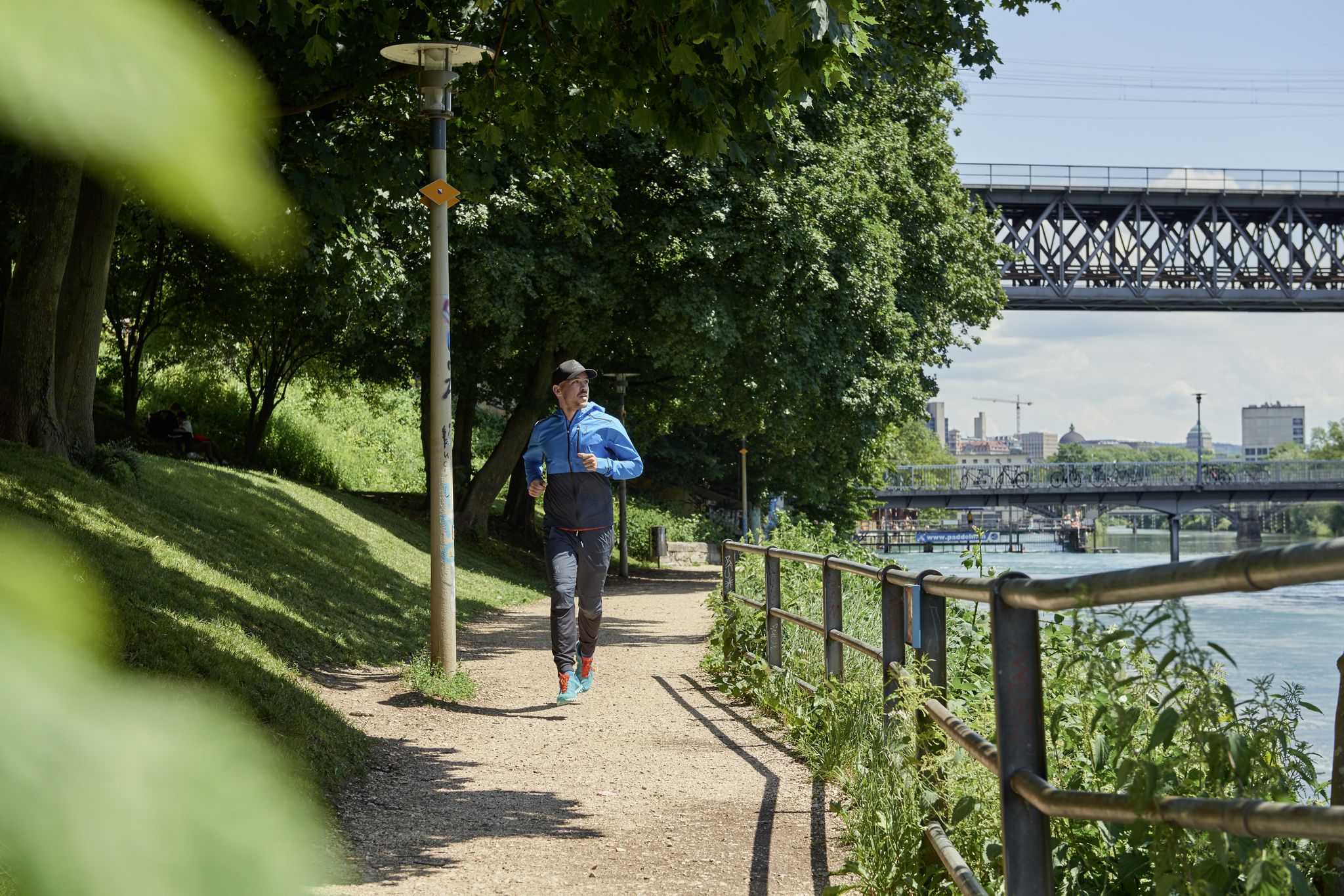
Urban adventures and lots of nature – jogging in Zurich
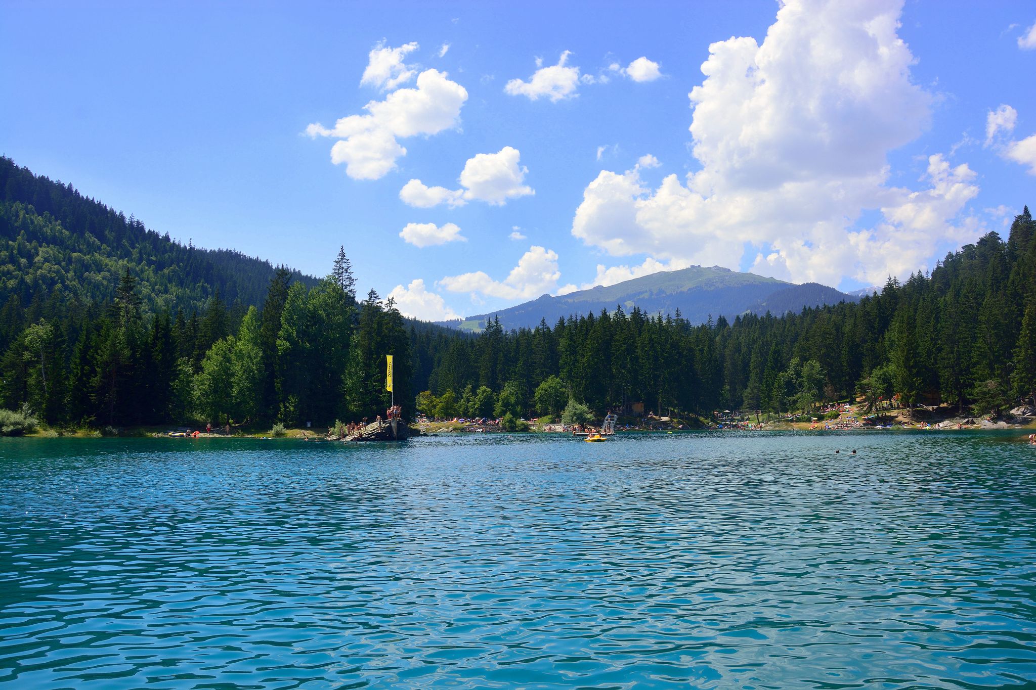
The most beautiful swimming lakes in Switzerland
Other adventures around Lake Zurich


Tips from the Community

The Chli Aubrig is a prominent pre-Alpine peak in the canton of Schwyz, reaching an altitude of 1642 meters. From its scenic summit, it offers an impressive view of Lake Zurich, the Schwyz Alps, and the Mittelland. Thanks to well-marked hiking trails, the Chli Aubrig is a popular destination for hikers and nature lovers.
3
0

Popular transition from Lake Zurich to Lake Sihl.
0
0

There are two pre-installed BBQ spots with grill fire pits, some tables and a fresh water fountain next to the playground.
0
0

Wonderful place for a break
0
0
Attention: Cycle route 94 is closed here due to construction work from 27.04.2026 - 02.11.2026 (at least partial sections) and is diverted from Sihlwald station to Alter Bahnhof Sihlbrugg via Sihltalstrasse (signposted on site). See Schweiz Mobil info.
0
0

magnificent view of the Alps
0
0

This "highlight" is misleading under this name, this is not the Chli Aubrig!
0
0

Very nice stop, good restaurant, charging facilities for e-bikers.
0
0
Frequently Asked Questions
Are there mountaineering routes suitable for beginners around Lake Zurich?
While most of the mountaineering routes around Lake Zurich are classified as moderate, they are generally accessible for those with a reasonable level of fitness. For a good introduction, consider the Ruine Manegg loop from Adliswil, which is shorter and leads through pleasant forested areas.
What are some more challenging mountaineering options near Lake Zurich?
For those seeking a more demanding experience, there are a couple of difficult routes available. These typically involve steeper ascents and longer distances. You can find options that push your limits within the region's diverse terrain.
Can I find circular mountaineering routes around Lake Zurich?
Yes, many of the mountaineering routes around Lake Zurich are designed as loops, allowing you to start and end at the same point. Examples include the popular Etzelpass loop from Pfäffikon SZ, offering panoramic views, or the Sihlwald Bürglen Descent – Sihl River Path in the Sihlwald loop from Sihlwald, which explores the extensive Sihlwald forest.
Are there family-friendly mountaineering trails in the Lake Zurich area?
Many of the moderate routes are suitable for families with older children who are accustomed to walking. The Uetliberg Viewing Terrace – Uetliberg loop from Zürich Triemli is a great option, offering rewarding views from the Uetliberg, often considered Zurich's local mountain, without being overly strenuous.
What kind of wildlife might I encounter on the trails?
The forested areas and natural reserves around Lake Zurich are home to various wildlife. You might spot deer, foxes, and a variety of bird species. Keep an eye out, especially in quieter sections of trails like those in the Sihlwald forest.
Are there any interesting landmarks or natural sights along the mountaineering routes?
Absolutely! The region is rich in points of interest. You can explore historical sites like the Bluntschli Fountain at Arboretum, enjoy stunning lake views from the View of Rapperswil's Old Town and Castle, or discover natural monuments such as the Lachner Aahorn Nature Reserve. Many routes offer glimpses of the lake and distant Alps.
How long do mountaineering routes around Lake Zurich typically take?
The duration varies depending on the route's length and your pace. Most moderate routes range from 2 to 4 hours. For example, the Uetliberg Transmission Tower – Uetliberg Summit Viewpoint loop from Wiedikon takes around 2 hours 15 minutes, while longer routes like the Sihlwald Bürglen Descent – Sihl River Path in the Sihlwald loop from Sihlwald can take up to 4 hours.
What do other mountaineers enjoy most about the Lake Zurich area?
The area is highly rated by the komoot community, with an average score of 5.0 stars from over 6 reviews. Reviewers often praise the diverse landscape, the rewarding views of the lake and Alps, and the well-maintained trails that cater to various fitness levels.
Are there mountaineering routes accessible by public transport?
Yes, many starting points for mountaineering routes around Lake Zurich are well-connected by public transport. For instance, routes to the Uetliberg are easily reachable from Zurich city center by train, making it convenient to start your adventure without a car.
When is the best time of year for mountaineering around Lake Zurich?
The spring, summer, and autumn months generally offer the best conditions for mountaineering around Lake Zurich, with pleasant temperatures and clear paths. Autumn, in particular, provides stunning foliage colors. While some trails might be accessible in winter, conditions can be challenging with snow and ice, requiring appropriate gear.
Are there any hidden gem mountaineering routes I should explore?
While the main routes are popular for good reason, exploring the less-trafficked paths within the Sihlwald forest or the smaller hills surrounding the lake can reveal quieter, equally beautiful sections. These often offer a more serene experience away from the crowds.
Can I find places to eat or drink near the trails?
Yes, many popular mountaineering areas, especially those closer to towns or well-known peaks like Uetliberg or Etzelpass, have mountain restaurants or traditional inns (Gasthäuser) where you can enjoy refreshments and local cuisine. It's always a good idea to check opening times in advance.
Most popular routes around Lake Zurich
Most popular attractions around Lake Zurich

Get inspired with the komoot mobile app


Explore more
Browse the best Mountain Hikes & Routes in other regions.
