The best running trails around Oberer Murgsee
4.8
(68)
914
runners
60
runs
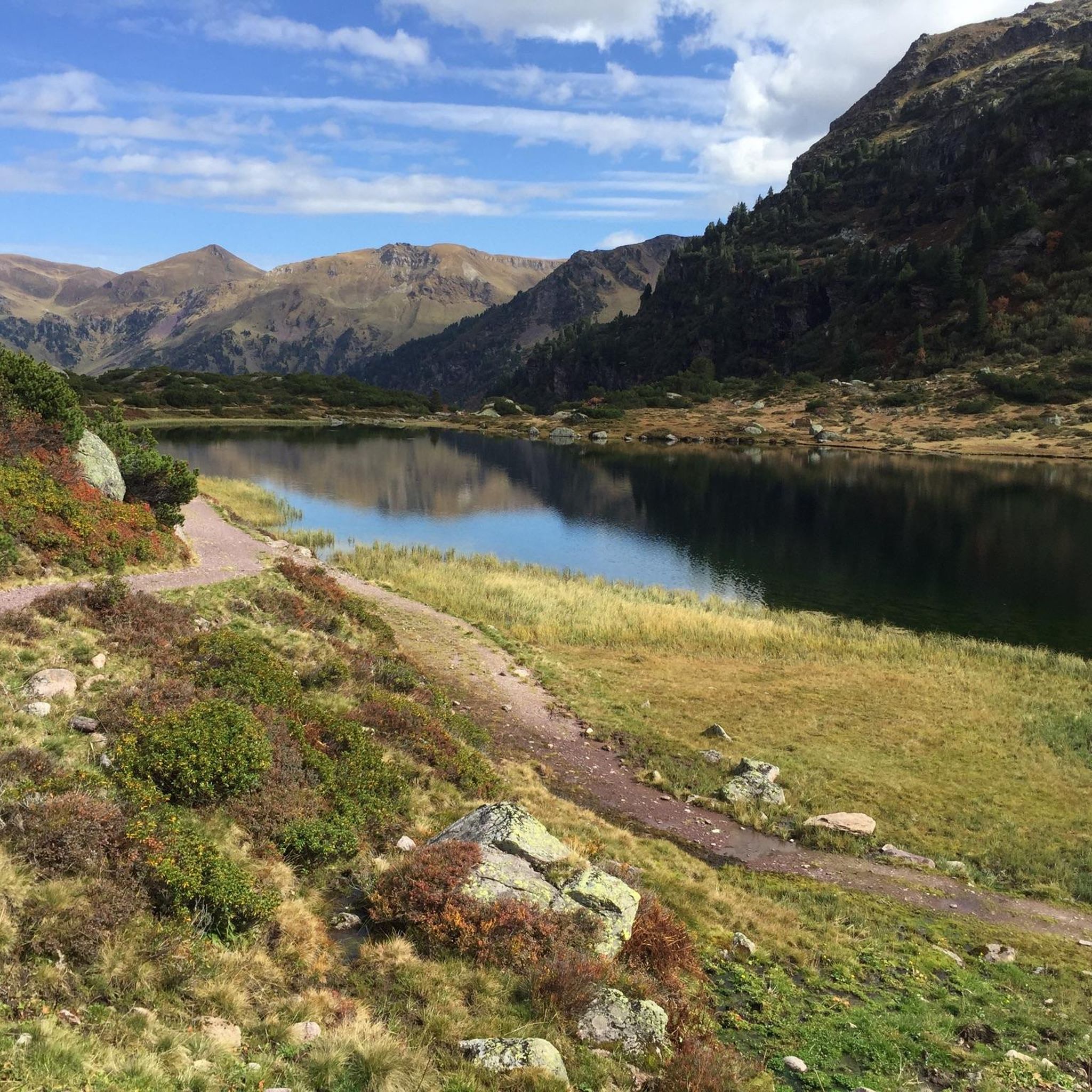
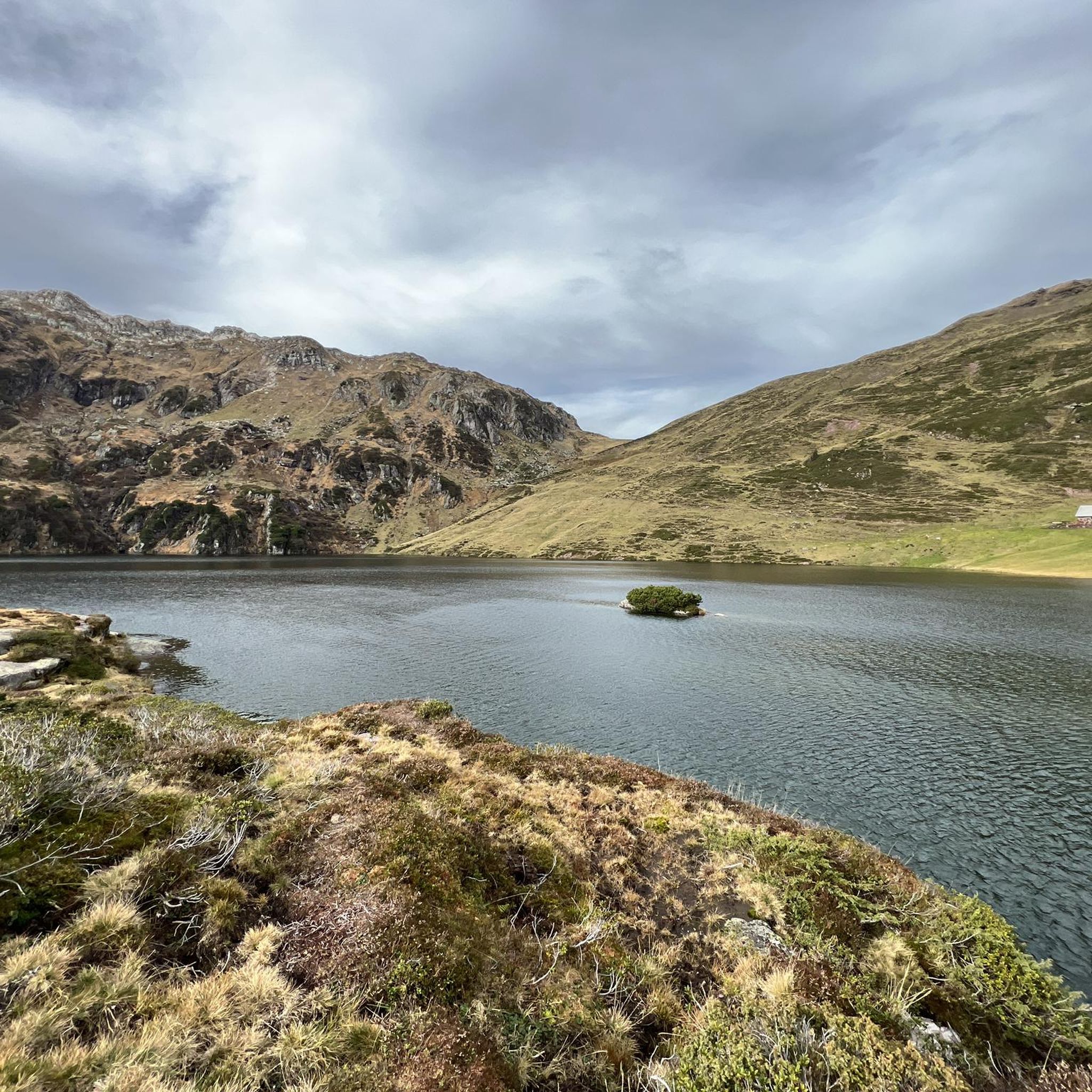
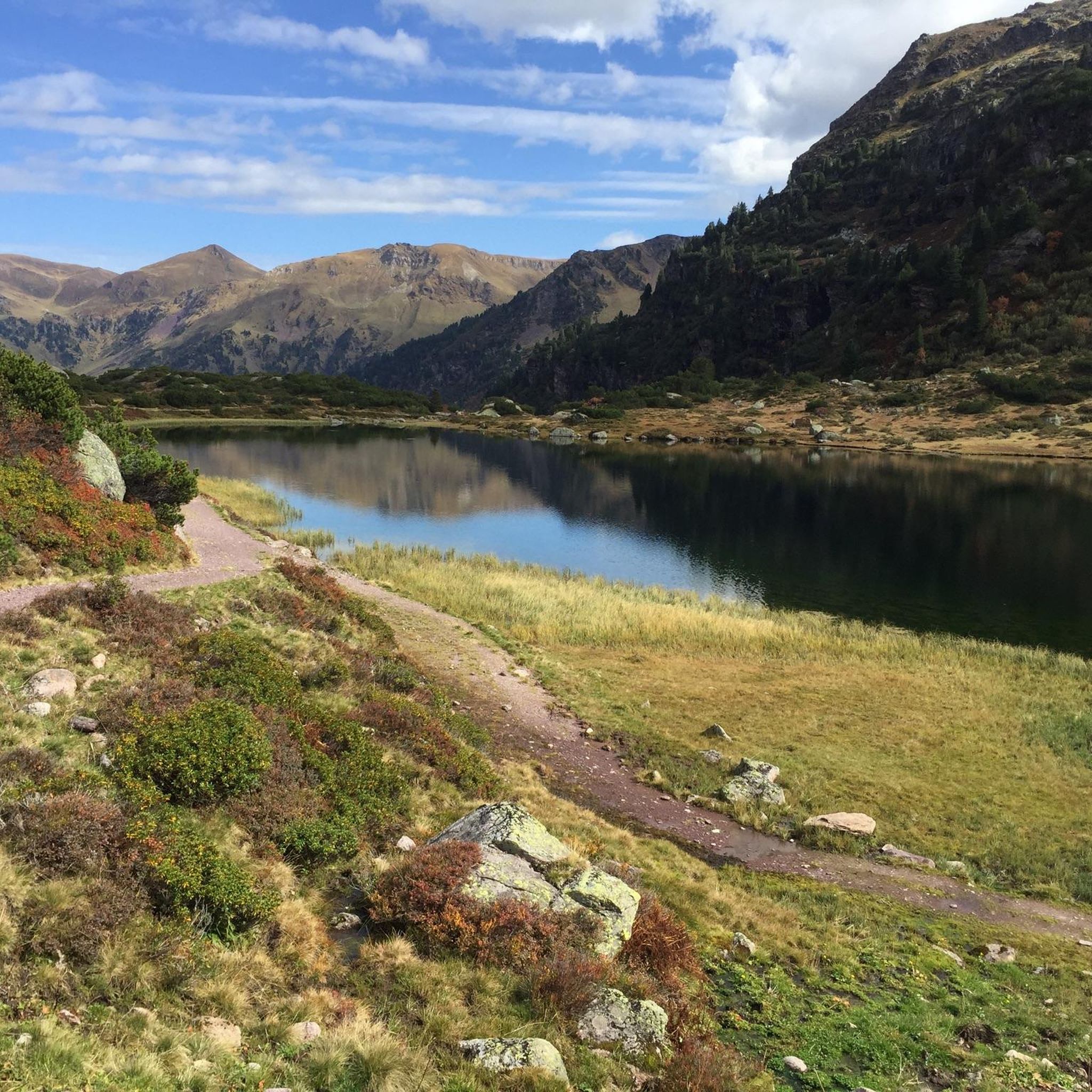
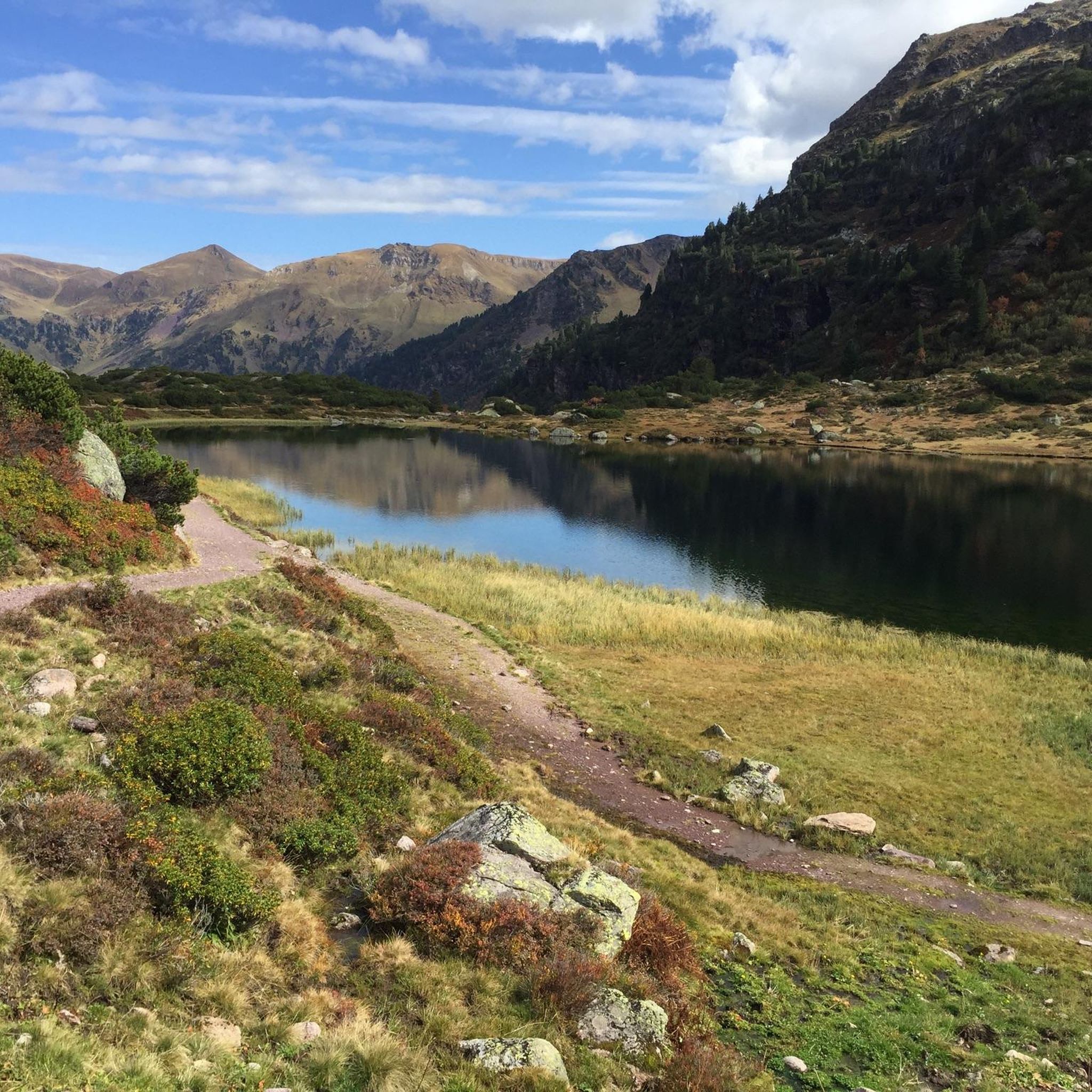
Jogging routes around Oberer Murgsee offer diverse landscapes in the Murg Valley, characterized by its wild mountain cauldron and three Murg lakes. The region features crystal-clear waters, with the peaks of the Mürtschenstock reflecting in Oberer Murgsee. Trails follow the Murgbach stream, passing a scenic waterfall, and transition from shady forests and lush meadows to rugged, glacier-shaped mountains.
Best jogging routes around Oberer Murgsee
- The most popular jogging route is Rotärd loop from Bachlaui, a 14.3 miles (23.1 km)…
Last updated: June 26, 2026
9
runners
23.0km
04:20
1,380m
1,370m
Hard run. Very good fitness required. Sure-footedness, sturdy shoes and alpine experience required.
5.0
(1)
6
runners
9.84km
02:17
860m
860m
Hard run. Very good fitness required. Sure-footedness, sturdy shoes and alpine experience required.

Sign up for free
5.0
(1)
25
runners
11.1km
01:12
120m
120m
Moderate run. Good fitness required. Mostly paved surfaces. Suitable for all skill levels.
4.7
(3)
21
runners
Easy run. Great for any fitness level. Mostly paved surfaces. Suitable for all skill levels.
13
runners
39.1km
04:46
1,000m
1,000m
Hard run. Very good fitness required. Mostly paved surfaces. Suitable for all skill levels.
Get access to more routes and recommendations from other explorers.
Sign up for free
Already have an account?
Our route recommendations are based on thousands of hikes, rides, and runs completed by other people on komoot.
Start today with a free account
Your next adventure awaits.
Login or Signup


Other adventures around Oberer Murgsee

Tips from the Community

Walking across the suspension bridge is exciting and varied. However, this section was often closed.
1
0
There are many natural spectacles along the Linth river.
1
0

Easy cycle path, but beautiful (Switzerland Mobility Route 4).
0
0

Sculpture hand holding tree.
6
0

Beautiful waterfall and a trail in very good condition. Only in this section there is no marked trail and you have to jump between rocks.
1
0


Not really a mountain bike tour. Simple but beautiful path along the river.
0
0
Frequently Asked Questions
How many running routes are available around Oberer Murgsee?
There are over 60 running routes around Oberer Murgsee, offering a wide range of distances and difficulty levels. These include easy paths, moderate trails, and challenging mountain runs.
Are there running trails suitable for beginners or those looking for an easier jog?
Yes, Oberer Murgsee offers several easier running options. For instance, the Mülifuer Bridge Over the Linth – Waldwirtschaft Uschenriet loop from Ennenda is an easy 4.5 km (2.8 miles) route, perfect for a relaxed jog through pleasant landscapes.
What kind of natural features can I expect to see while jogging in the Murg Valley?
The Murg Valley is rich in natural beauty. You'll encounter the crystal-clear waters of the three Murg lakes, including Oberer Murgsee itself, with the peaks of the Mürtschenstock reflecting beautifully. The Murgbach stream flows through the valley, leading to a scenic waterfall on the way up to the Upper Murgsee. The landscape transitions from shady forests and lush meadows to rugged, glacier-shaped mountains.
Are there any circular running routes around Oberer Murgsee?
Yes, the region offers several circular routes. The Murgsee circular hike, starting from the Merlen car park in Murgtal, is a popular option with well-marked trails that allow you to experience the diverse terrain and stunning lake views.
What do other runners enjoy most about jogging in Oberer Murgsee?
The running routes around Oberer Murgsee are highly rated by the komoot community, with an average score of 4.8 stars. Runners often praise the breathtaking alpine lakes, the scenic waterfall, and the varied forested and mountainous terrain. The network offers options for different ability levels, from moderate paths to challenging mountain trails.
Can I bring my dog on the running trails in the Murgsee area?
Generally, dogs are welcome on trails in the Murgsee area. However, it's always recommended to keep them on a leash, especially in protected areas or near livestock, and to follow local regulations regarding pet waste. Always ensure your dog is fit enough for the chosen route.
Are there any family-friendly jogging routes in the Oberer Murgsee region?
While many trails involve significant elevation, there are options suitable for families. Look for routes described as 'easy' or 'moderate' that stick to lower elevations or wider paths. The Murgsee area offers diverse terrain, so you can find paths through meadows and forests that are less strenuous.
What is the best time of year to go jogging around Oberer Murgsee?
The best time for jogging around Oberer Murgsee is typically from late spring to early autumn (May to October) to avoid snow and ensure trails are clear. During these months, you'll experience pleasant temperatures and the full beauty of the alpine landscape. Always check current weather and trail conditions, especially in shoulder seasons.
Are there any facilities or places to rest along the running routes?
Yes, the quaint Murgseehütte, a privately run guesthouse, is located directly on the shore of Oberer Murgsee. It provides a convenient resting point and offers refreshments, making it a great stop during a longer run or for an overnight stay if you plan a multi-day exploration.
Are there any routes that follow a river or offer riverside views?
Absolutely. The Linth River near Glarus – Linth River Cycle Path loop from Ennenda is a 11.1 km (6.9 miles) trail that leads through scenic riverside landscapes, offering a different kind of running experience compared to the alpine trails.
What are some of the more challenging running routes in the area?
For experienced runners seeking a challenge, the region offers difficult routes with significant elevation gain. The Rotärd loop from Bachlaui is a demanding 23.1 km (14.3 miles) trail with substantial climbing through alpine terrain, taking over 4 hours to complete. Another challenging option is the Rotärd loop from Aeugsten, a 9.8 km (6.1 miles) path with challenging climbs and panoramic mountain views.
Is there parking available near the trailheads for running routes?
Yes, for many popular routes, such as the Murgsee circular hike, parking is available. For example, the Merlen car park in Murgtal is a common starting point. It's advisable to check specific route descriptions for detailed parking information.
Most popular routes around Oberer Murgsee

Get inspired with the komoot mobile app


Explore more
Browse the best Running Trails & Routes in other regions.
