The best road cycling routes around Laragh
91
riders
9
rides
Road cycling routes around Laragh offer a diverse landscape of U-shaped valleys, granite mountains, and forested hills, providing varied terrain for cyclists. The region is characterized by quiet mountain roads and significant elevation changes, catering to different fitness levels. Laragh is strategically positioned, offering access to numerous routes through the Wicklow Mountains. The area features a mix of challenging climbs and scenic stretches, making it suitable for road cycling exploration.
Best road cycling routes around Laragh
- The most popular road…
Last updated: June 26, 2026
9
riders
53.9km
02:20
430m
430m
Moderate road ride. Good fitness required. Mostly well-paved surfaces and easy to ride.
4
riders
34.8km
01:29
260m
260m
Easy road ride. Great for any fitness level. Mostly well-paved surfaces and easy to ride.

Sign up for free
3
riders
43.4km
01:53
300m
300m
Moderate road ride. Good fitness required. Some segments of this route may be unpaved and difficult to ride.
3
riders
45.8km
02:02
370m
370m
Moderate road ride. Good fitness required. Some segments of this route may be unpaved and difficult to ride.
2
riders
32.7km
01:34
210m
210m
Moderate road ride. Great for any fitness level. Some segments of this route may be unpaved and difficult to ride.
Get access to more routes and recommendations from other explorers.
Sign up for free
Already have an account?
Our route recommendations are based on thousands of hikes, rides, and runs completed by other people on komoot.
Start today with a free account
Your next adventure awaits.
Login or Signup
Popular around Laragh
Tips from the Community

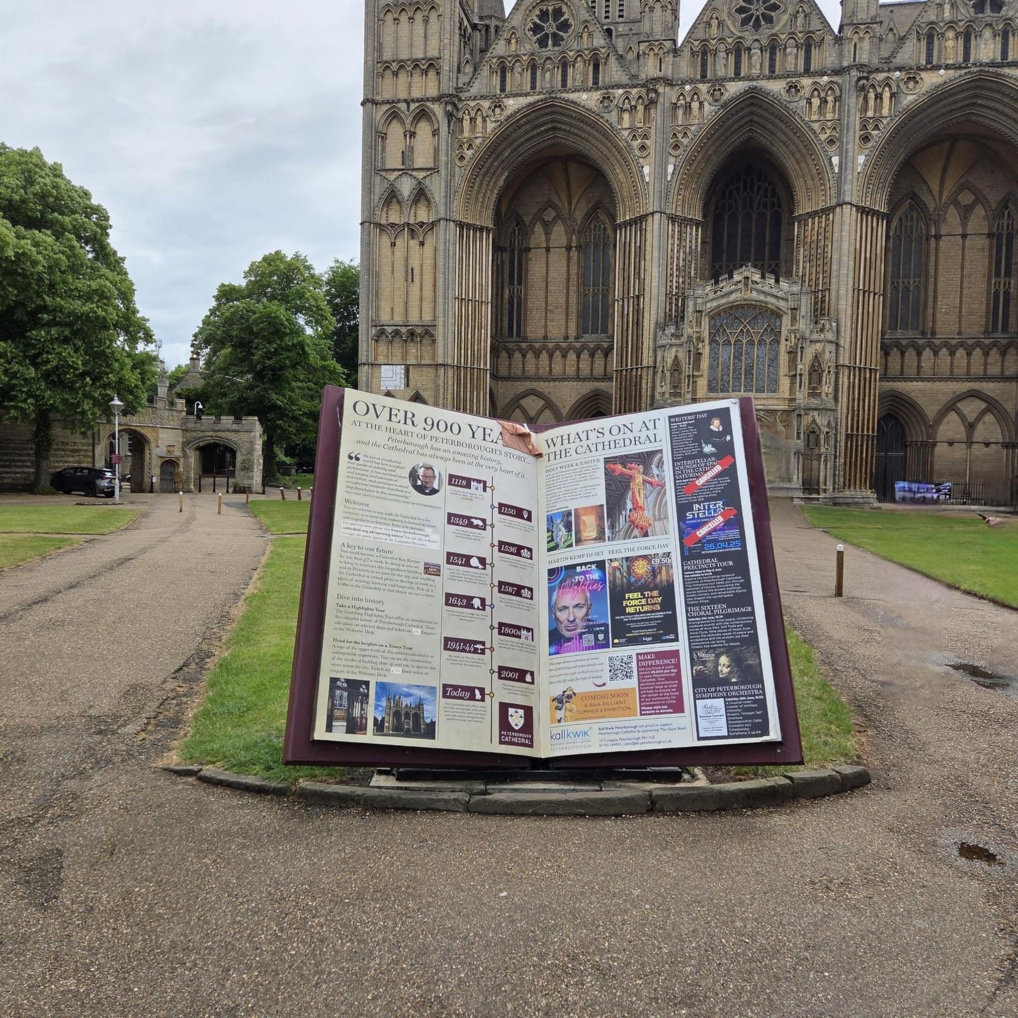
Contained within the ruins is a sculpture of the crucifixion, which is thought to date from the 10th Century, making it one of the oldest in Ireland. St Lurach founded an important church here in the 6th century. It was plundered by Vikings in 832 and burned in 1135. Following the 12th-century ecclesiastical reforms this was the seat of a bishop from the mid 12th to the mid 13th century, then served as parish church until the new church across the road was built in the early 19th century. This long history is reflected in the much patched and altered fabric, and the big uneven graveyard.
0
0


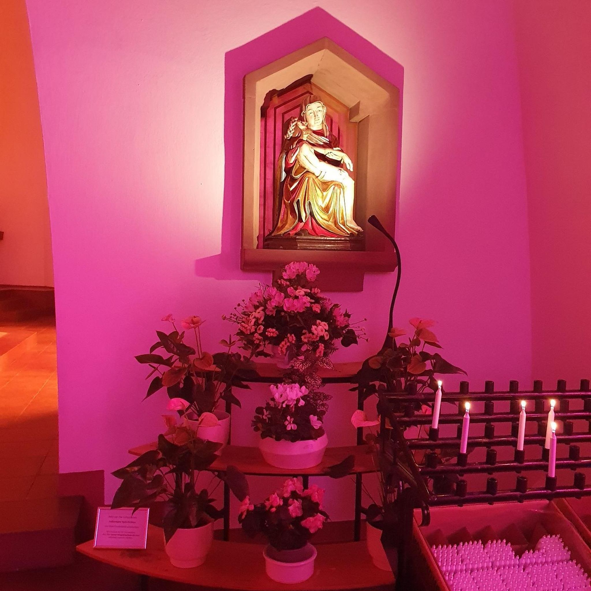
It's quite an unusual experience stumbling into a pyramid in the middle of an Irish forest! This pyramid was built in the 19th century as a burial chamber for Lord Garvagh and is a lovelly feature to the forest today.
2
0

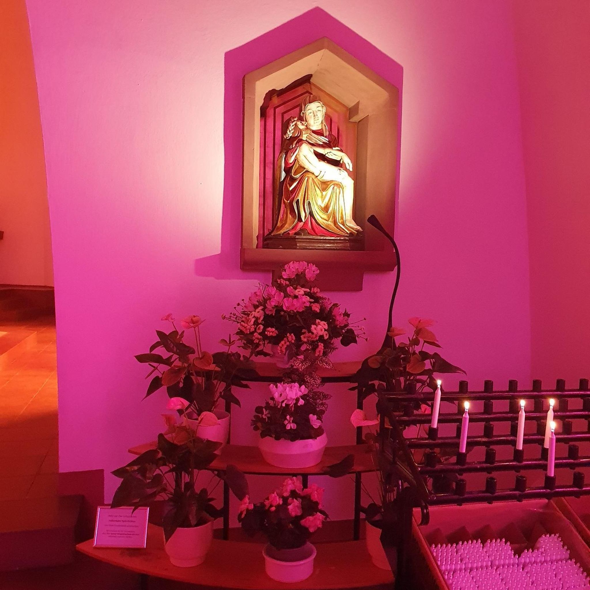
If there's a good bench out in the wild then it's always a good idea to take a rest. You never know when you'll fund another bench.
1
0

Frequently Asked Questions
What kind of terrain can I expect when road cycling around Laragh?
Laragh, nestled in the Wicklow Mountains, offers a diverse road cycling experience. You'll encounter quiet mountain roads, U-shaped valleys, granite mountains, and forested hills. The region is known for its 'climbing galore,' with significant elevation changes and varied road surfaces, catering to both challenging ascents and scenic stretches. Iconic passes like Wicklow Gap and Sally Gap are often incorporated into routes, providing substantial climbs and captivating views.
Are there many circular road cycling routes available in Laragh?
Yes, many of the road cycling routes around Laragh are designed as loops, allowing you to start and finish in the same location. For example, the St Lurach's Church Ruins – Bench Under a Large Tree loop from Pollan Burn is a moderate 33.4-mile circular route. Another option is the St Lurach's Church Ruins loop from Pollan Burn, an easy 21.6-mile loop.
What natural features and landmarks can I see while cycling around Laragh?
Road cycling routes around Laragh are rich with natural beauty and historical sites. You can expect to pass through the Wicklow Mountains National Park, see the impressive Glenmacnass Waterfall, and catch glimpses of Lough Tay, often called 'Guinness Lake.' Many routes also lead near Glendalough, an ancient monastic settlement with its Upper and Lower Lakes. The area also features the Avonmore River and scenic forests.
Is there parking or public transport access for road cyclists in Laragh?
Laragh is a popular starting point for cyclists, and parking is generally available within the village or at key trailheads. While specific public transport details for cyclists might vary, Laragh's central location at the junction of three main roads (R115, R755, and R756) makes it accessible by car. For detailed public transport information, it's advisable to check local bus schedules or regional transport services.
When is the best time of year to go road cycling in Laragh?
The best time for road cycling in Laragh is typically from spring through autumn (April to October) when the weather is milder and daylight hours are longer. Summer months offer the warmest temperatures, but spring and autumn provide beautiful scenery with fewer crowds. Winter cycling is possible but requires appropriate gear due to colder temperatures and potentially wet conditions in the mountains.
Are there places to stop for refreshments like cafes or pubs along the routes?
Laragh itself is a popular meeting and stop-off point for cyclists, offering options for refreshments. Many routes pass through or near villages in the Wicklow Mountains where you can find cafes, pubs, and accommodation. It's always a good idea to plan your route and check for available services along your chosen path, especially on longer mountain rides.
How can I find less crowded road cycling routes around Laragh?
To find less crowded routes, consider cycling during off-peak times, such as weekdays or early mornings. While popular routes like those incorporating Sally Gap or Wicklow Gap can see more traffic, the region also offers numerous quiet mountain roads. Exploring routes slightly off the main tourist paths or those that delve deeper into the Wicklow Mountains National Park can provide a more serene experience. Komoot's route planning can help you discover these less-traveled options.
How many road cycling routes are available around Laragh?
There are over 9 road cycling routes available around Laragh, offering a variety of distances and difficulty levels. These routes are designed to showcase the diverse landscapes of the Wicklow Mountains, from easy loops to more challenging climbs.
What do other road cyclists enjoy the most about road cycling in Laragh?
Over 95 road cyclists have used komoot to explore Laragh's varied terrain. They frequently praise the region's 'climbing galore' and the breathtaking scenery, including U-shaped valleys, granite mountains, and forested hills. The quiet mountain roads and the strategic access to the Wicklow Mountains are also highly valued by the cycling community.
Are there any easy road cycling routes suitable for beginners in Laragh?
Yes, Laragh offers easy road cycling options suitable for beginners or those looking for a less strenuous ride. An example is the St Lurach's Church Ruins loop from Pollan Burn, an easy 21.6-mile trail that takes about 1 hour 28 minutes to complete, guiding you through scenic areas with manageable elevation.
What are some challenging road cycling routes for experienced riders in Laragh?
Experienced riders seeking a challenge will find plenty of options around Laragh. The region is known for its significant climbs and iconic passes. Routes that incorporate the Military Road (R115), the Shay Elliott Climb, or loops through Wicklow Gap and Sally Gap offer substantial ascents and demanding terrain. These routes provide 'climbing galore' and are popular among those looking to test their limits.
Can I combine road cycling with other outdoor activities in Laragh?
Absolutely. Laragh is an excellent base for combining road cycling with other outdoor pursuits. The area is within or very close to the Wicklow Mountains National Park, offering numerous opportunities for hiking and walking, particularly around Glendalough with its ancient monastic city and scenic lakes. Birdwatching is also popular, and the Clara Lara FunPark is nearby for family entertainment.
Most popular routes around Laragh

Get inspired with the komoot mobile app


Explore more
Browse the best Road cycling routes in other regions.
