The best walks and hikes around Sarnersee
4.5
(2988)
20,144
hikers
34
hikes
Hiking trails around Sarnersee are situated in the canton of Obwalden, Switzerland, offering a diverse landscape for outdoor activities. The region is characterized by the glacial lake Sarnersee, surrounded by rolling hills, forested slopes, and agricultural land. Elevations generally remain moderate, providing accessible paths along the lakeside and gentle ascents into the surrounding countryside.
Best hiking trails around Sarnersee
- The most popular hiking route is View of Lake Sarnen – Sarnen Lakeside Promenade loop from Obwalden, a 10.0 miles (16.2 km) trail that takes 4 hours 12 minutes to complete. This moderate route offers continuous views of the lake and passes through the Sarnen lakeside promenade.
- Another top favourite among local hikers is View of Lake Sarnen – View of Lake Sarnen loop from Sachseln, a difficult 10.8 miles (17.3 km) path. This trail provides expansive views of Lake Sarnen and the surrounding hills, featuring varied terrain with notable elevation changes.
- Local hikers also love the Lakeside Park on Lake Zug – Wooden Boathouse on the Lake loop from Sachseln, a 7.5 miles (12.1 km) trail leading through lakeside parks and past traditional boathouses, often completed in about 3 hours 6 minutes.
- Hiking around Sarnersee is defined by lakeside paths, forested hillsides, and open meadows. The network offers options for various ability levels, from easy family friendly hikes to more challenging Sarnersee hikes.
- The routes in Sarnersee are highly rated by the komoot community with an average score of 4.5 stars from over 350 reviews. More than 3000 hikers have used komoot to explore Sarnersee's varied terrain.
Last updated: November 10, 2026
4.8
(55)
328
hikers
16.1km
04:12
110m
110m
Moderate hike. Good fitness required. Easily walkable paths.
4.5
(23)
137
hikers
17.3km
05:16
550m
550m
Hard hike. Very good fitness required. Mostly walkable paths. Sure-footedness required.
3.0
(2)
38
hikers
Easy hike. Easily walkable paths.
5.0
(3)
52
hikers
Moderate hike. Good fitness required. Easily walkable paths.
5.0
(2)
19
hikers
6.45km
01:46
100m
100m
Easy hike. Easily walkable paths.
Get access to more routes and recommendations from other explorers.
Already have an account?
Our route recommendations are based on thousands of hikes, rides, and runs completed by other people on komoot.
Start today with a free account
Your next adventure awaits.



Tips from the Community

Beautiful view of Lake Sarnen.
2
1

Sarnersee The Sarnersee is the largest lake in the canton of Obwalden. It is located in the area of the municipalities of Sarnen, Sachseln and Giswil. The lake, which lies 469 meters above sea level, is fed by the Grosse Melchaa, the Dreiwässerkanal and the Sarner Aa, among others. The latter flows out of the lake at the northern end near Sarnen before flowing into the Alpnachersee at the valley exit. The Sarnersee is a good six kilometers long, between one and one and a half kilometers wide and thus has an area of approximately 7.5 square kilometers. Text / Source: Schweizersee.ch https://www.schweizersee.ch/sarnersee/
13
0
Sarnersee The Sarnersee is the largest lake in the canton of Obwalden. It is located in the area of the municipalities of Sarnen, Sachseln and Giswil. The lake, which lies 469 meters above sea level, is fed by the Grosse Melchaa, the Dreiwässerkanal and the Sarner Aa, among others. The latter flows out of the lake at the northern end near Sarnen before flowing into the Alpnachersee at the valley exit. The Sarnersee is a good six kilometers long, between one and one and a half kilometers wide and thus has an area of approximately 7.5 square kilometers. Text / Source: Schweizersee.ch https://www.schweizersee.ch/sarnersee/
13
0

From here you can enjoy panoramic views of Lake Sarnen, framed by lush forests and rolling mountains. The peaceful blue of the lake contrasts beautifully with its green valley setting, giving you a perfect vantage point to admire the picturesque Swiss landscape.
0
0

Lake Sarnen is a lake in the heart of Oblalden
1
0

The lush green meadow landscape and Lake Sarnen offer an opportunity for inner contemplation, supported by the path of visions
3
0
Wonderfully beautiful view of the lake
1
0

Nice stopover right on the lake. Opening hours (2022) on the photo.
0
0
Frequently Asked Questions
How many hiking trails are available around Sarnersee?
There are over 30 hiking routes around Sarnersee, offering a variety of experiences. These include 13 easy trails, 19 moderate routes, and 2 more challenging options, ensuring there's something for every skill level.
Are there easy or family-friendly hikes around Sarnersee?
Yes, Sarnersee offers several easy and family-friendly options. For a pleasant, shorter walk, consider the View of Lake Sarnen – Riverbed Access loop from Sachseln, which is an easy 6.5 km trail. Many lakeside paths are also suitable for families.
Are there any circular walks around Sarnersee?
Absolutely. Many routes around Sarnersee are designed as circular walks, allowing you to start and end in the same location. A popular option is the View of Lake Sarnen – Sarnen Lakeside Promenade loop from Obwalden, a moderate 16.2 km trail offering continuous lake views.
What kind of views can I expect on hikes around Sarnersee?
Hikes around Sarnersee primarily offer expansive views of the glacial lake itself, surrounded by rolling hills, forested slopes, and agricultural land. Many trails provide continuous lakeside panoramas. For a particularly scenic spot, check out the View of Lake Sarnen (Sarnersee) from Sachseln highlight.
What are some interesting places to explore or see along the trails?
Beyond the lake itself, you can discover various points of interest. The Lake Sarnen is a central feature. Families might enjoy the Captain Zinsli Adventure Playground, Seelisberg. You can also find charming spots like the Seehuis BBQ Bistro & Beach Club right by the water.
Are there challenging hikes for experienced hikers?
Yes, for those seeking a more demanding experience, there are challenging routes available. The View of Lake Sarnen – View of Lake Sarnen loop from Sachseln is a difficult 17.3 km path with notable elevation changes, providing expansive views and varied terrain.
What do other hikers say about the trails in Sarnersee?
The hiking trails around Sarnersee are highly regarded by the komoot community, with an average rating of 4.5 stars from over 350 reviews. Hikers often praise the diverse landscape, the well-maintained paths, and the beautiful lake views.
Can I find cafes or restaurants near the hiking trails?
Yes, there are options for refreshments. For example, the Seehuis BBQ Bistro & Beach Club is located directly on the lake, offering a place to relax and eat after your hike. Several villages around the lake also provide dining opportunities.
How long do hikes around Sarnersee typically take?
Hike durations vary significantly depending on the route's length and difficulty. Easy trails can be completed in under 2 hours, while moderate routes like the Lakeside Park on Lake Zug – Wooden Boathouse on the Lake loop from Sachseln typically take around 3 hours. More challenging routes can extend to 5 hours or more.
Is it possible to hike around Sarnersee in winter?
While the guide focuses on general hiking, the Sarnersee region is known for its diverse landscape, which can be enjoyed in winter. Many lakeside paths remain accessible, offering serene winter walks. However, higher elevation trails may require specific winter gear or be closed due to snow and ice. It's advisable to check local conditions before heading out.
Are there any routes that offer views of Mount Pilatus?
Yes, some routes in the area provide glimpses of the iconic Mount Pilatus. For instance, the 🔝View of Pilatus – View of Lake Sarnen loop from Sachseln is a moderate 7.4 km hike that offers such scenic perspectives.
What is the best time of year to hike around Sarnersee?
The best time to hike around Sarnersee is generally from spring through autumn (April to October), when the weather is mild, and the trails are clear. During these months, you can fully enjoy the lush landscapes and pleasant temperatures. Summer offers opportunities for swimming in the lake after a hike.
Most popular routes around Sarnersee
Most popular attractions around Sarnersee
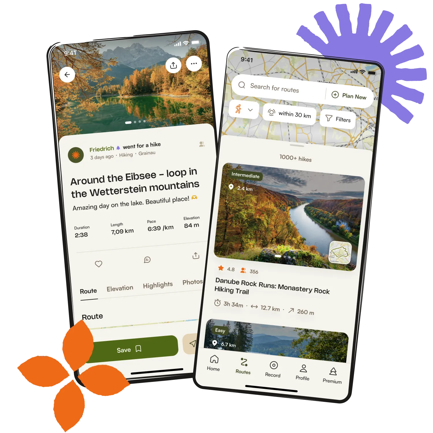
Get inspired with the komoot mobile app


Explore more
Browse the best Hikes in other regions.