The best road cycling routes around Legavannon
25
riders
7
rides
Road cycling routes around Legavannon traverse a region characterized by diverse terrain, including rolling hills and rural roads. The landscape offers varied elevation gains, providing options for different fitness levels. Cyclists can expect a mix of well-paved surfaces and some segments that may present more challenging conditions. The area provides a scenic backdrop for road cycling activities.
Best road cycling routes around Legavannon
- The most popular road cycling route is Park loop from Ballykelly, a 47.2 miles (75.9 km)…
Last updated: July 12, 2026
8
riders
56.3km
02:29
530m
530m
Moderate road ride. Good fitness required. Mostly well-paved surfaces and easy to ride.
6
riders
76.3km
03:30
750m
750m
Moderate road ride. Good fitness required. Mostly well-paved surfaces and easy to ride.

Sign up for free
3
riders
41.4km
02:03
430m
430m
Moderate road ride. Good fitness required. Mostly well-paved surfaces and easy to ride.
3
riders
31.3km
01:24
310m
310m
Moderate road ride. Good fitness required. Some segments of this route may be unpaved and difficult to ride.
2
riders
33.1km
02:00
530m
530m
Moderate road ride. Good fitness required. Mostly well-paved surfaces and easy to ride.
Get access to more routes and recommendations from other explorers.
Sign up for free
Already have an account?
Our route recommendations are based on thousands of hikes, rides, and runs completed by other people on komoot.
Start today with a free account
Your next adventure awaits.
Login or Signup
Popular around Legavannon

Tips from the Community

From Belfast International Airport, Derry is reached after a change in Antrim (15 min by bus) and 90 min by train. Right on the river, on the Waterside but close to a bridge that takes you to the other side, close to the center.
0
0

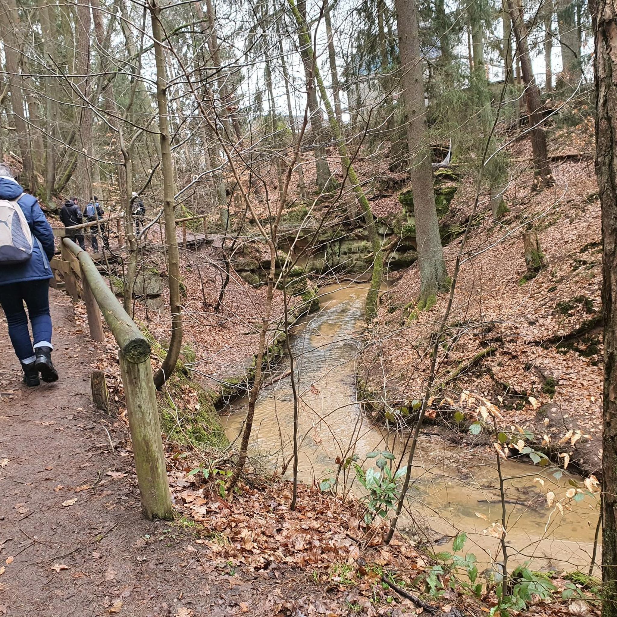
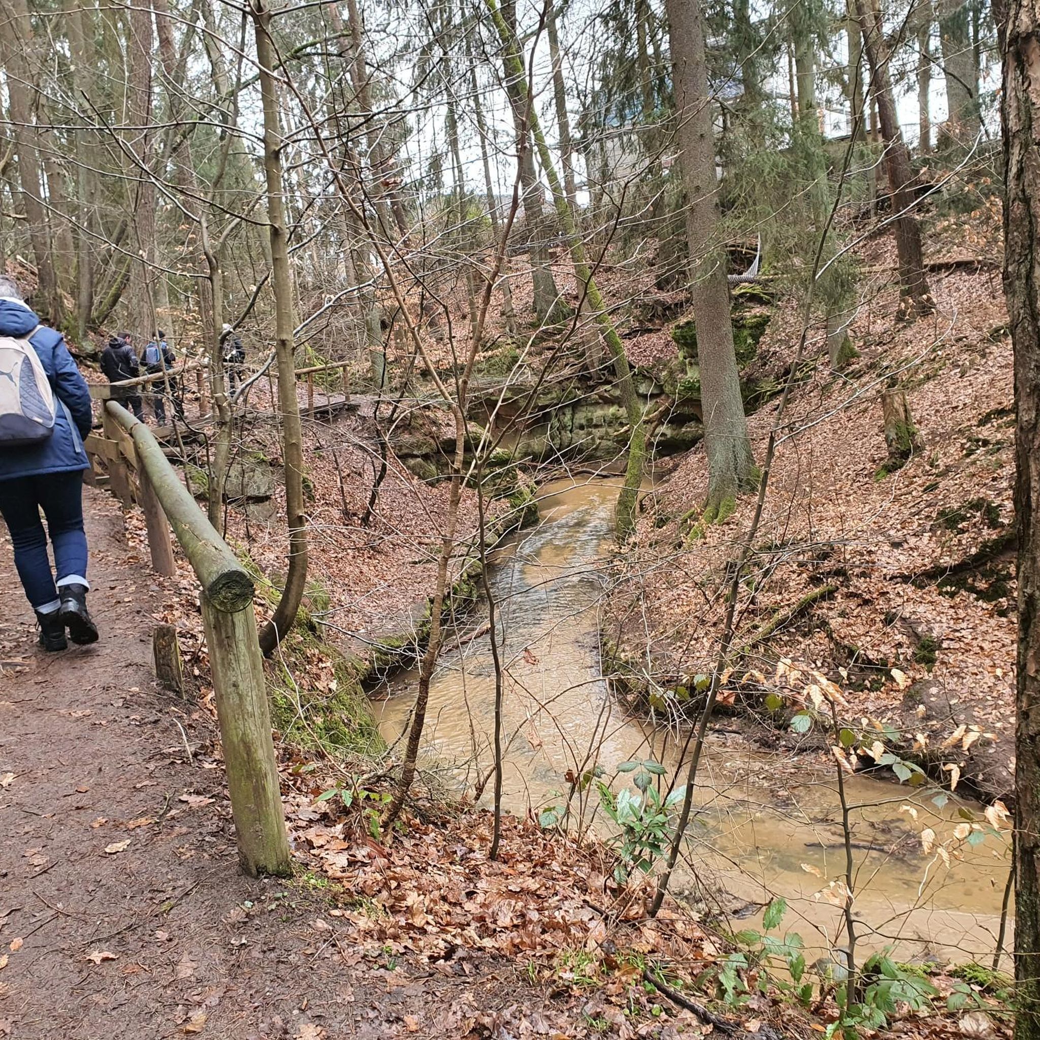
Learmount Wood is located at the foothills of the northern face of the Sperrins in Northern Ireland. The forest features a wonderful diversity of tree species, including some that have been there for over 100 years. It's a beautiful place for a stroll, featuring a stream and an abandoned mansion dating back to the 1830s.
1
0

Altinaghree Castle is also known as Liscloon House and it thought to have been built in 1860 by William Ogilby
1
0
Frequently Asked Questions
What is the typical terrain like for road cycling around Legavannon?
The region around Legavannon offers diverse terrain for road cycling, characterized by rolling hills and rural roads. You can expect varied elevation gains, providing options for different fitness levels. While many surfaces are well-paved, some segments, particularly on longer or more challenging routes, might present unpaved or more difficult conditions.
How many road cycling routes are available in the Legavannon area?
There are 8 road cycling routes available around Legavannon on komoot. These routes cater to various preferences, with 7 classified as moderate and 1 as difficult, ensuring options for different skill levels.
Are there challenging road cycling routes for experienced cyclists?
Yes, for experienced cyclists seeking a challenge, the region offers routes with significant elevation gain. For instance, the broader Sperrin Mountains area, which is nearby, features hard road rides like the Draperstown, Gortin, and Plumbridge loop, which can involve over 3,000 ft of elevation gain over five hours. Within Legavannon's immediate vicinity, you'll find routes like the longer Park loop from Ballykelly, covering 75.9 km with 749 meters of ascent.
Are there easier road cycling options for beginners or those seeking a less strenuous ride?
While there are no routes specifically classified as 'easy' in the immediate Legavannon area, many of the moderate routes are suitable for varied fitness levels. These typically involve up to 1,000 ft of elevation gain over two to three hours. A good option to consider is the Learmount Wood loop from Claudy, which is 31.3 km long with 308 meters of elevation gain, offering a balanced ride.
What are the typical distances and durations for road cycling routes in the area?
Road cycling routes around Legavannon vary in length and duration. You can find routes ranging from approximately 31 km, like the Learmount Wood loop from Claudy (taking about 1 hour 24 minutes), to longer rides such as the 75.9 km Park loop from Ballykelly, which typically takes around 3 hours 29 minutes to complete.
Are there any circular road cycling routes available?
Yes, many of the road cycling routes in the Legavannon area are designed as loops, allowing you to start and finish at the same point. Examples include the Rough Fort loop from Eglinton (41.4 km) and the Standing Stone loop from Eglinton (33.1 km).
What kind of scenic viewpoints or landmarks can I expect along the road cycling routes?
The region offers scenic landscapes, particularly as you venture towards the Sperrin Mountains. While specific viewpoints are not detailed for Legavannon itself, the broader area features historic villages like Newtownstewart and notable attractions such as Baronscourt Castle, which provide interesting points of interest during your ride.
What is the best time of year for road cycling around Legavannon?
The best time for road cycling around Legavannon generally aligns with milder weather conditions. Spring and autumn can offer pleasant temperatures and beautiful scenery, though it's always advisable to check local weather forecasts, as conditions can be variable. Summer provides longer daylight hours and typically warmer weather, ideal for extended rides.
Are there any initiatives to improve cycling infrastructure in the wider region?
Yes, there are ongoing efforts to enhance cycling infrastructure in the broader region. For example, the Bundoran Ballyshannon Active Travel Project in Donegal is developing continuous walking and cycling links, including segregated and shared routes, to make active travel safer and more appealing for all ages and abilities.
What do other road cyclists enjoy most about road cycling in Legavannon?
Over 25 road cyclists have used komoot to explore Legavannon's varied terrain. They often praise the region's diverse landscape, which includes rolling hills and rural roads, offering a mix of moderate and challenging routes suitable for different ability levels.
Are there any road cycling routes that pass through or near notable villages?
Yes, some routes start or pass near local villages. For example, the Rough Fort loop from Eglinton and the Standing Stone loop from Eglinton both originate from Eglinton, providing opportunities to experience local village atmospheres.
Most popular routes around Legavannon

Get inspired with the komoot mobile app


Explore more
Browse the best Road cycling routes in other regions.
