The best road cycling routes around Stausee Gigerwald
4.1
(9)
122
riders
2
rides
Road cycling around Stausee Gigerwald features routes that navigate through mountainous terrain, offering views of the reservoir and surrounding valleys. The region is characterized by winding mountain roads, significant elevation changes, and sections near the Gigerwald Dam. Road bike trails in Stausee Gigerwald often include ascents to passes and descents through varied landscapes.
Best road cycling routes around Stausee Gigerwald
- The most popular road cycling route is Kunkel Pass – Gigerwald Dam loop from Vättis, a 20.4 miles (32.9…
Last updated: July 8, 2026
6
riders
32.8km
02:11
1,050m
1,050m
Hard road ride. Very good fitness required. Mostly well-paved surfaces and easy to ride.
5
riders
19.6km
01:09
480m
480m
Moderate road ride. Good fitness required. Mostly well-paved surfaces and easy to ride.

Sign up for free
3.7
(3)
60
riders
42.2km
02:40
1,130m
1,130m
Hard road ride. Very good fitness required. Mostly well-paved surfaces and easy to ride.
5.0
(3)
37
riders
35.3km
01:58
770m
770m
Moderate road ride. Good fitness required. Mostly well-paved surfaces and easy to ride.
3.7
(3)
8
riders
13.3km
00:54
360m
370m
Moderate road ride. Good fitness required. Mostly well-paved surfaces and easy to ride.
Our route recommendations are based on thousands of hikes, rides, and runs completed by other people on komoot.
Start today with a free account
Your next adventure awaits.
Login or Signup
Popular around Stausee Gigerwald

Lake and Alps Adventure – explore 100 dreamy places in our cycling region!

Blue lakes, wide panoramas & autumnal splendour – hiking in Heidiland
Hiking around Stausee Gigerwald
MTB Trails around Stausee Gigerwald
Cycling around Stausee Gigerwald
Running Trails around Stausee Gigerwald
Mountain Hikes around Stausee Gigerwald


Tips from the Community

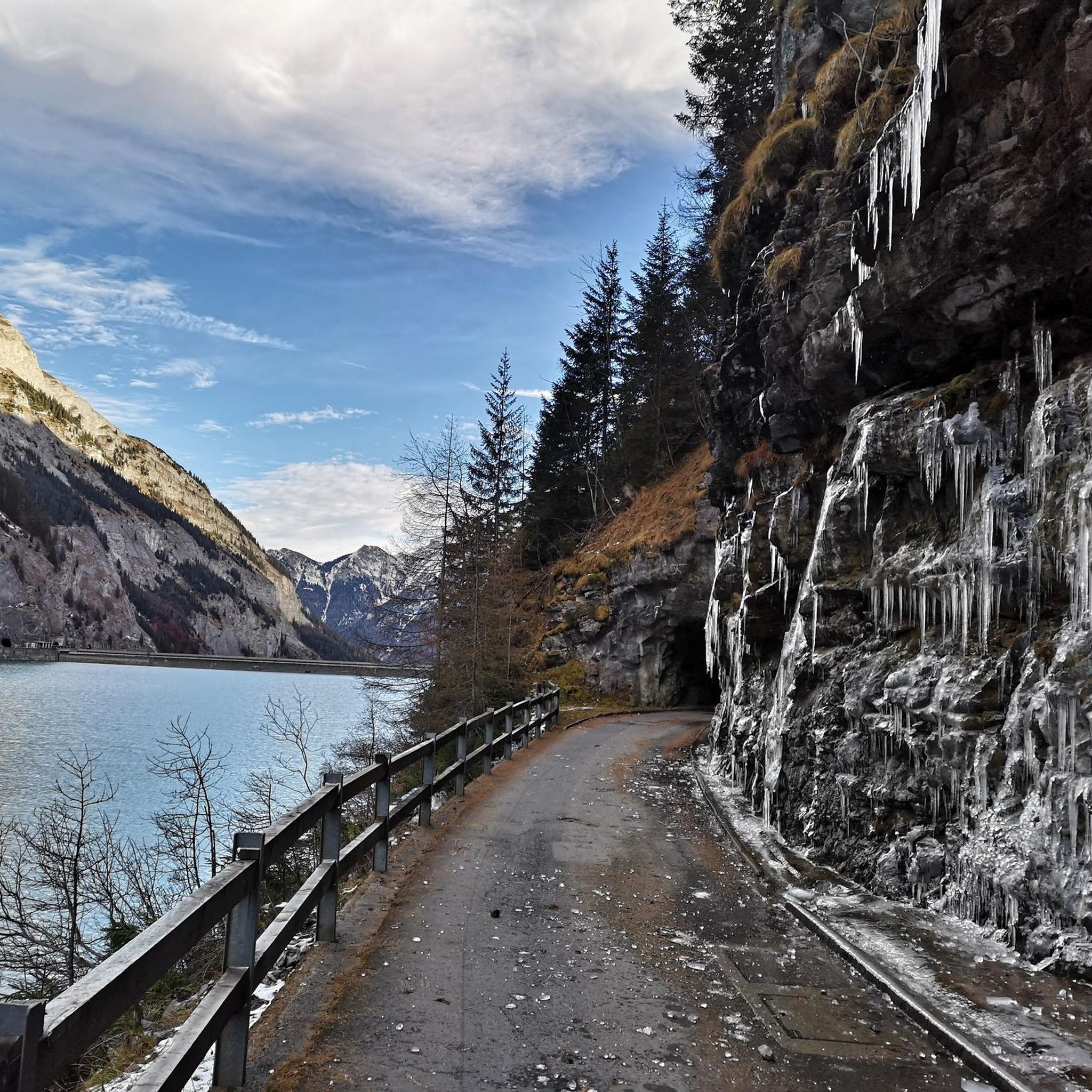
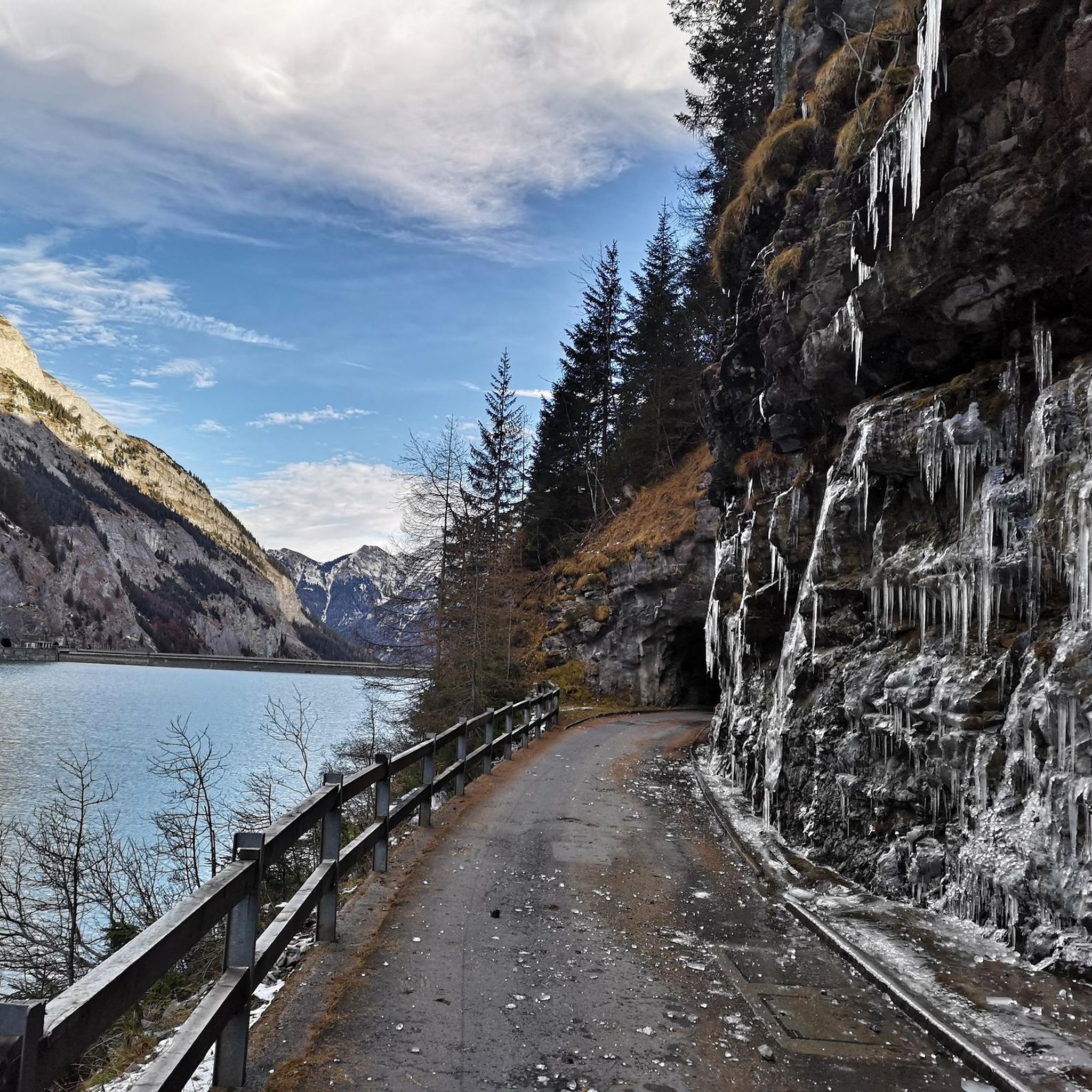
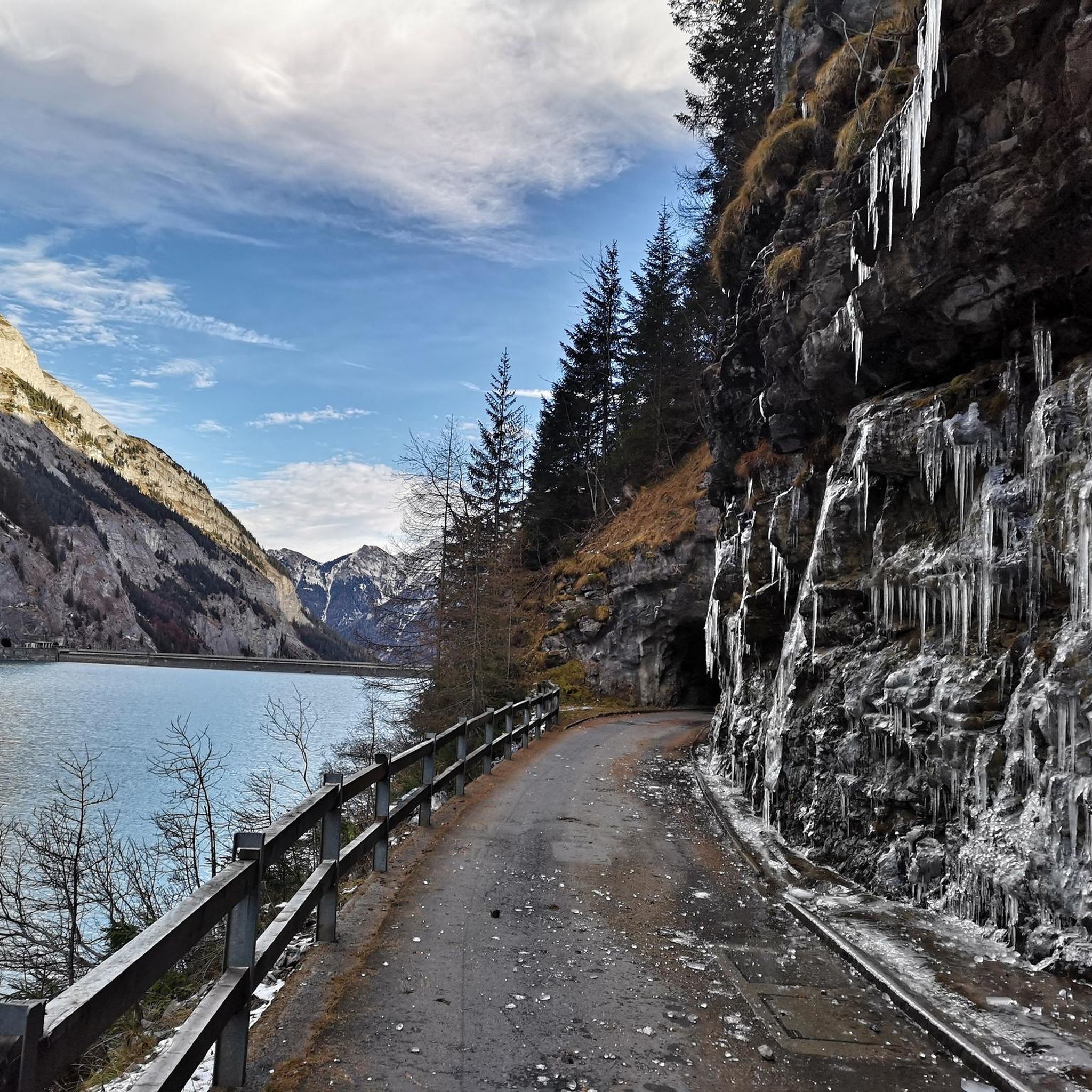
No problem with a road bike, only short gravel sections and some bad asphalt. But very beautiful and quiet because of it.
0
0

Beautiful and unique building.
0
0
Impressive structure (length: 475 m, span: 260 m, height: 200 m).
0
0

Interesting illustrations about electricity generation. As someone from the lowlands, I was a bit surprised that I suddenly found myself in the canton of St. Gallen.
1
0
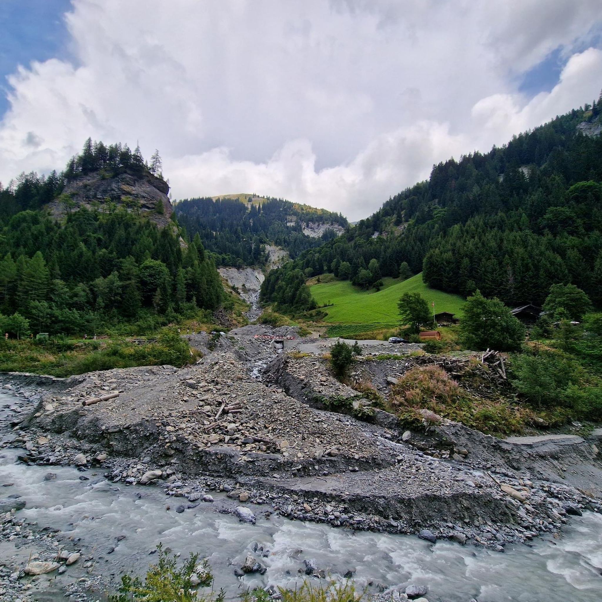
I rode from the Klunkel Pass towards Vättis. There's a comfortable, fairly flat descent. The area is very beautiful. I took a short nap on a bench in the shade by the stream.
0
0

Impressive bridge over the Tamina Gorge. You walk under this during the walk to the source of the Tamina Gorge. On the way back you can go up a different path out of the gorge and reach the bridge.
1
0

Further information can be found at the following link: https://de.m.wikipedia.org/wiki/Taminabr%C3%BCcke
1
0

Frequently Asked Questions
What kind of road cycling routes can I expect around Stausee Gigerwald?
The Stausee Gigerwald region offers road cycling routes characterized by winding mountain roads, significant elevation changes, and scenic sections near the Gigerwald Dam. You'll find options ranging from moderate to difficult, often including ascents to passes and descents through varied landscapes.
Are there any beginner-friendly road cycling routes in Stausee Gigerwald?
While the region is known for its mountainous terrain, there are moderate options available. For a balanced challenge with varied terrain, consider the Kunkels Pass – Kunkel Pass loop from Vättis, which is 19.6 km long with 477 meters of elevation gain. Another moderate route is the Tamina Bridge – Mapraggsee loop from Vadura, covering 13.3 km with 364 meters of ascent.
What are some challenging road cycling routes for experienced riders?
For experienced road cyclists seeking a significant challenge, the region offers routes with substantial climbs. The Kunkel Pass – Gigerwald Dam loop from Vättis is a difficult 32.9 km route with over 1000 meters of elevation gain. Another demanding option is the Gigerwald Dam – Tamina Bridge loop from Duonig, which spans 42.3 km and features over 1100 meters of climbing.
Are there any loop road cycling trails around Stausee Gigerwald?
Yes, many of the road cycling routes in the area are loops, allowing you to start and finish in the same location. Examples include the Kunkel Pass – Gigerwald Dam loop from Vättis, the Kunkels Pass – Kunkel Pass loop from Vättis, and the Gigerwald Dam – Tamina Bridge loop from Duonig.
What can I see along the road cycling routes in Stausee Gigerwald?
The routes offer stunning views and points of interest. You can cycle past the impressive Gigerwald Dam, enjoy the Gigerwald Reservoir Lakeside Road, and take in panoramic views like the Gigerwaldsee Panorama Towards St. Martin. The historic Walser Settlement of Sankt Martin is also a notable attraction in the vicinity.
What is the best time of year for road biking around Stausee Gigerwald?
The best time for road biking in this mountainous region is typically from late spring through early autumn (May to October). During these months, the weather is generally more stable, and mountain passes are clear of snow, offering optimal conditions for cycling and enjoying the scenic views.
What do other road cyclists enjoy most about the routes in Stausee Gigerwald?
The road cycling routes around Stausee Gigerwald are highly rated by the komoot community, with an average score of 4.1 stars. Cyclists often praise the challenging climbs, the rewarding descents, and the breathtaking views of the reservoir and surrounding valleys. The varied terrain and well-maintained mountain roads are frequently highlighted.
Are there any viewpoints along the road cycling routes?
Yes, the mountainous nature of the region means many routes offer spectacular viewpoints. The Gigerwaldsee Panorama Towards St. Martin is a specific highlight known for its expansive views. Many sections along the Gigerwald Reservoir also provide excellent photo opportunities.
How many road cycling routes are available in this guide for Stausee Gigerwald?
This guide features five distinct road cycling routes around Stausee Gigerwald, offering a mix of moderate and difficult options to suit various skill levels.
What are the typical distances and elevation gains for road cycling in this area?
Routes in Stausee Gigerwald vary significantly. You can find moderate routes like the Tamina Bridge – Mapraggsee loop from Vadura, which is 13.3 km with 364m of ascent. More challenging routes, such as the Gigerwald Dam – Tamina Bridge loop from Duonig, can be over 42 km long with more than 1100m of elevation gain.
Is the Stausee Gigerwald area suitable for family road cycling?
The region's road cycling routes are generally characterized by significant elevation changes and winding mountain roads, which might be challenging for younger children or families seeking very flat, easy rides. However, families with older, experienced cycling members might enjoy some of the moderate routes, such as the Kunkels Pass – Kunkel Pass loop from Vättis, which offers a balanced challenge.
Most popular routes around Stausee Gigerwald
Most popular attractions around Stausee Gigerwald

Get inspired with the komoot mobile app


Explore more
Browse the best Road cycling routes in other regions.
