The best running trails around Lai da Curnera
4.7
(22)
921
runners
20
runs
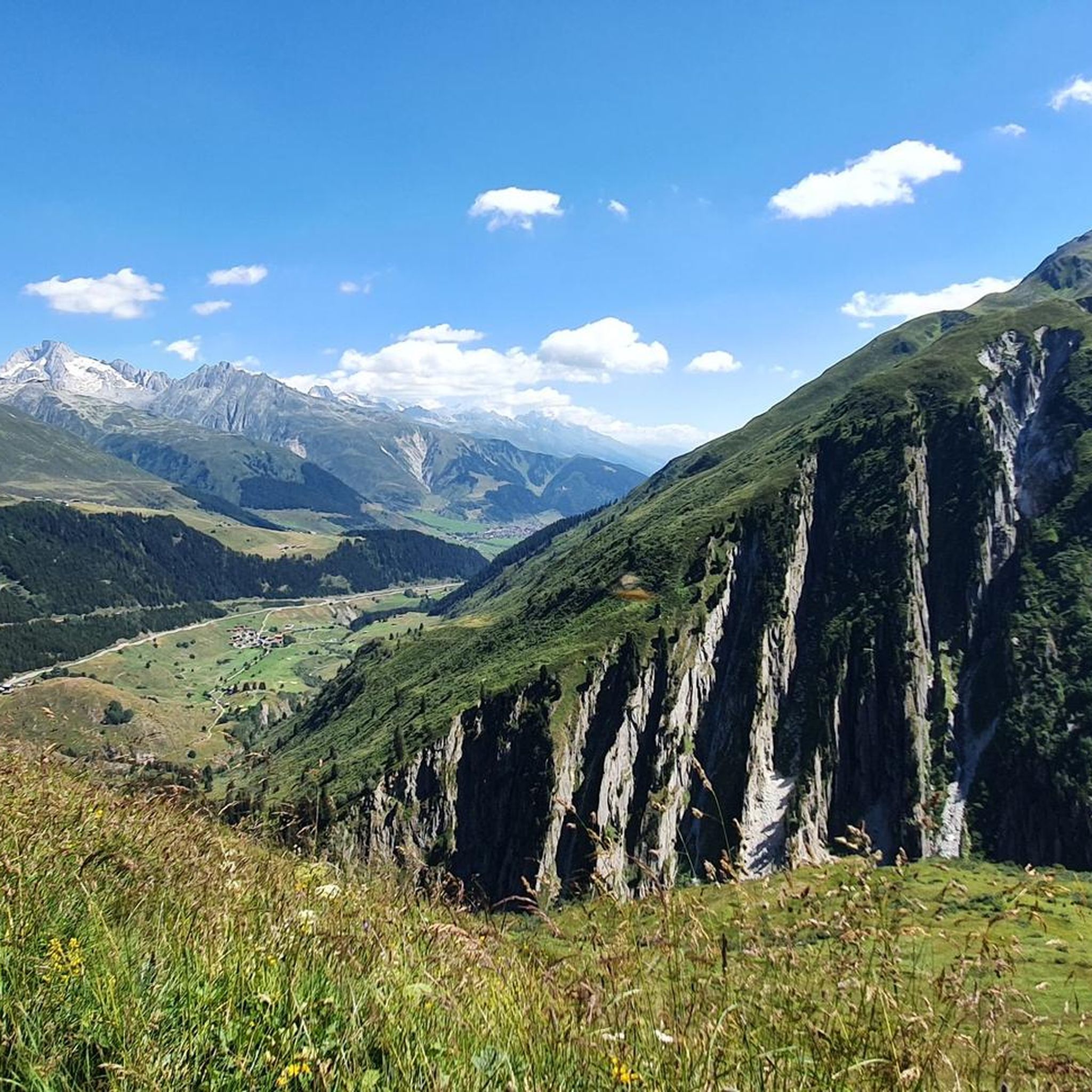
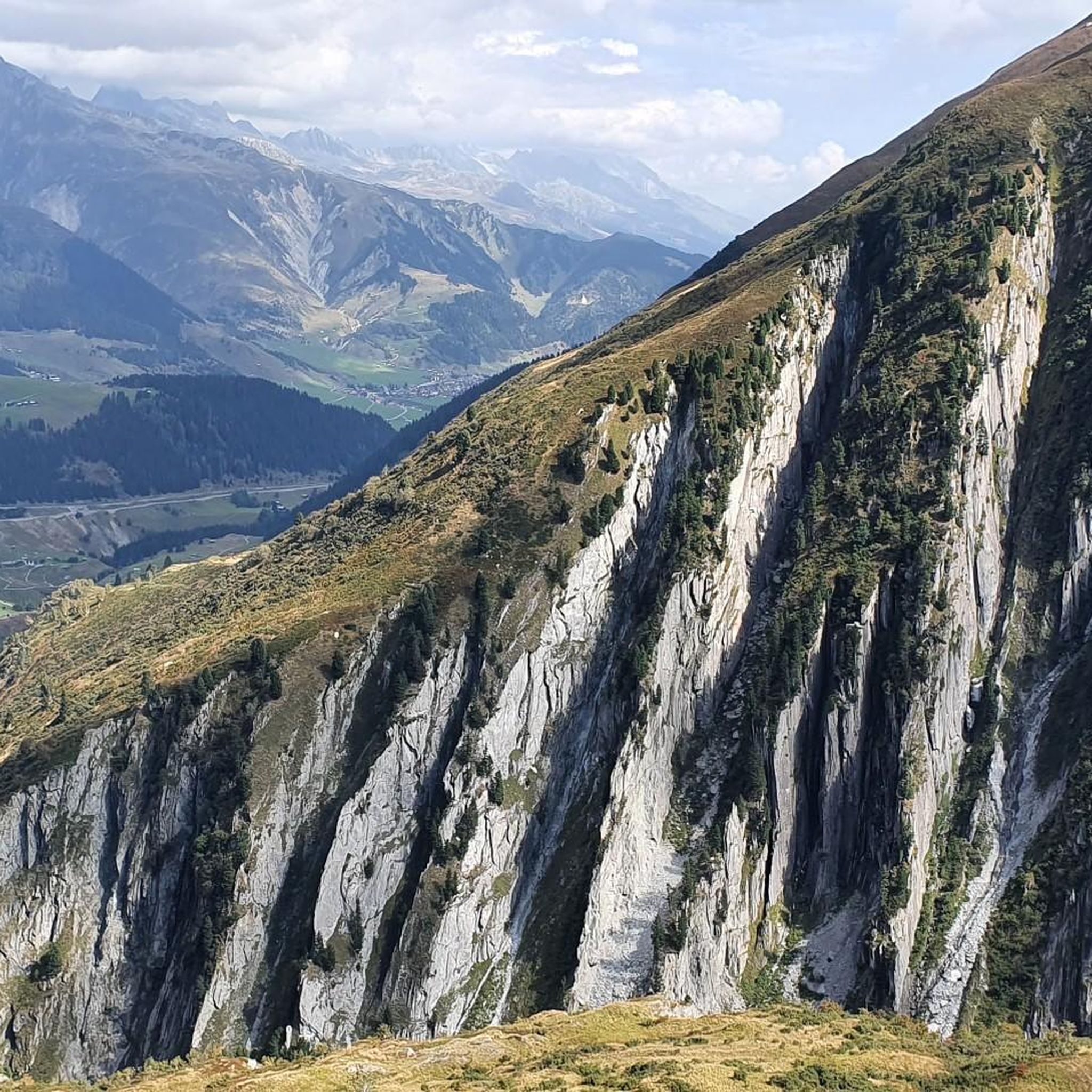
Jogging routes around Lai da Curnera traverse a landscape characterized by alpine valleys, reservoir views, and varied elevations. The region offers a mix of terrain, from paths alongside the lake to routes with moderate climbs through mountain scenery. Running here provides opportunities to experience the natural environment of the Swiss Alps.
Best jogging routes around Lai da Curnera
- The most popular jogging route is Running loop from Tujetsch, a 4.4 miles (7.1 km) trail that takes about 45 minutes…
Last updated: October 10, 2026
5.0
(1)
34
runners
7.09km
00:46
100m
100m
Moderate run. Good fitness required. Mostly paved surfaces. Suitable for all skill levels.
3
runners
6.22km
00:47
220m
220m
Moderate run. Good fitness required. Mostly paved surfaces. Suitable for all skill levels.

5.0
(2)
32
runners
7.23km
00:48
160m
160m
Moderate run. Good fitness required. Mostly paved surfaces. Suitable for all skill levels.
5.0
(1)
13
runners
5.72km
00:37
80m
70m
Moderate run. Good fitness required. Mostly paved surfaces. Suitable for all skill levels.
10
runners
5.59km
00:47
220m
220m
Hard run. Good fitness required. Sure-footedness, sturdy shoes and alpine experience required.
Get access to more routes and recommendations from other explorers.
Already have an account?
Our route recommendations are based on thousands of hikes, rides, and runs completed by other people on komoot.
Start today with a free account
Your next adventure awaits.


Tips from the Community

Educational activities for children and curiosities for everyone
0
0

The NEAT West experience trail revolves around the theme "Engineering marvel of the century" with six different stations. How was the tunnel under Sedrun created? Who built it? These and many other questions will be answered in an exciting way.
0
0

Valley station of the Salins-Cuolm da Vi cable car, some managed parking spaces and toilets. Bikes are taken along.
0
0
You could just ride down here. But if you still fancy a few nice DH trails, then you can first go uphill a bit on the Via Tgom! It's worth it!
1
0
Is very practical in every season!
1
0

A new cable car was built here last year; I was told that the cabin can hold up to 70 people. This morning there were probably 40 hikers and one 🐕 who went up with us. With the guest card the trip is free. Even with other cable cars and trains.
0
0
Frequently Asked Questions
How many running routes are available around Lai da Curnera?
There are over 20 dedicated running routes around Lai da Curnera, offering a variety of distances and difficulty levels for joggers.
Are there easy running routes suitable for beginners around Lai da Curnera?
Yes, Lai da Curnera offers a few easy running routes perfect for beginners or those looking for a relaxed jog. These routes typically feature gentler terrain and less elevation gain.
What are the typical distances of running routes in the Lai da Curnera area?
The running routes around Lai da Curnera vary in length. For example, the Running loop from Gotthard-Basistunnel is about 5.7 km, while the Running loop from Tujetsch covers approximately 7.1 km. You'll find options ranging from shorter loops to longer, more challenging runs.
Are there circular running routes available near Lai da Curnera?
Yes, many of the running trails around Lai da Curnera are circular, allowing you to start and finish at the same point. Popular options include the Plaun Miez (1,436 m) loop from Gotthard-Basistunnel and the Running loop from Rueras.
When is the best time of year to go running around Lai da Curnera?
The best time for running around Lai da Curnera is generally from late spring to early autumn (May to October). During these months, the weather is milder, and the trails are typically free of snow, offering optimal conditions for enjoying the alpine scenery.
Can I bring my dog on the running trails around Lai da Curnera?
Many trails in the Swiss Alps, including those around Lai da Curnera, are dog-friendly. However, it's always recommended to keep your dog on a leash, especially in areas with livestock or wildlife, and to check for any specific local regulations or protected areas.
Is parking available near the running trails at Lai da Curnera?
Yes, parking is generally available in the villages and at trailheads surrounding Lai da Curnera, such as near Gotthard-Basistunnel, Tujetsch, or Sedrun. Some parking areas may be paid, especially during peak season.
How can I reach the running routes around Lai da Curnera using public transport?
The Lai da Curnera region is accessible by public transport, primarily via bus services connecting from larger towns like Disentis/Mustér or Sedrun. Check local bus schedules for stops near trailheads or villages like Tujetsch and Rueras.
What do other runners enjoy the most about jogging in Lai da Curnera?
The running routes around Lai da Curnera are highly rated by the komoot community, with an average score of 4.7 stars. Runners frequently praise the stunning alpine views, the varied terrain, and the peaceful atmosphere along the reservoir and mountain valleys.
Are there any running routes with significant elevation gain for a challenging workout?
Yes, for those seeking a more challenging run, there are routes with notable elevation changes. For instance, the Running loop from Sedrun is classified as difficult and features significant ascents and descents, providing a robust workout amidst the alpine landscape.
What kind of terrain can I expect on the running trails around Lai da Curnera?
The terrain around Lai da Curnera is varied, ranging from smooth paths alongside the reservoir to more rugged mountain trails. You can expect a mix of gravel paths, forest trails, and some sections with moderate climbs, characteristic of the Swiss Alps.
Are there any viewpoints or scenic spots along the running routes?
Absolutely. Many running routes offer breathtaking views of the Lai da Curnera reservoir itself, as well as panoramic vistas of the surrounding alpine peaks and valleys. The trails are designed to showcase the natural beauty of the region.
Most popular routes around Lai da Curnera

Get inspired with the komoot mobile app


Explore more
Browse the best Running Trails & Routes in other regions.
