The best road cycling routes around Edenreagh More
4.3
(19)
956
riders
71
rides
Road cycling routes around Edenreagh More offer diverse terrain, ranging from well-paved surfaces to segments with moderate to challenging elevation gains. The region provides views of Lough Neagh and includes areas near Garvagh Forest Trails. It is also situated within or near the Binevenagh Area of Outstanding Natural Beauty (AONB), characterized by dramatic cliffs and panoramic viewpoints.
Best road cycling routes around Edenreagh More
- The most popular road cycling route is Peace Bridge – Bloody Sunday Murals, Bogside loop from…
Last updated: October 15, 2026
2
riders
38.6km
01:55
420m
420m
Moderate road ride. Good fitness required. Some segments of this route may be unpaved and difficult to ride.
1
riders
136km
06:29
1,520m
1,520m
This difficult 84.5-mile road cycling loop from Londonderry through the Sperrin AONB offers challenging climbs and panoramic views.

53
riders
83.6km
03:26
400m
400m
Moderate road ride. Good fitness required. Mostly well-paved surfaces and easy to ride.
5.0
(1)
40
riders
57.9km
02:28
440m
440m
Moderate road ride. Good fitness required. Mostly well-paved surfaces and easy to ride.
18
riders
166km
07:49
1,980m
1,980m
Hard road ride. Very good fitness required. Mostly well-paved surfaces and easy to ride.
Get access to more routes and recommendations from other explorers.
Already have an account?
Our route recommendations are based on thousands of hikes, rides, and runs completed by other people on komoot.
Start today with a free account
Your next adventure awaits.
Popular around Edenreagh More
Tips from the Community

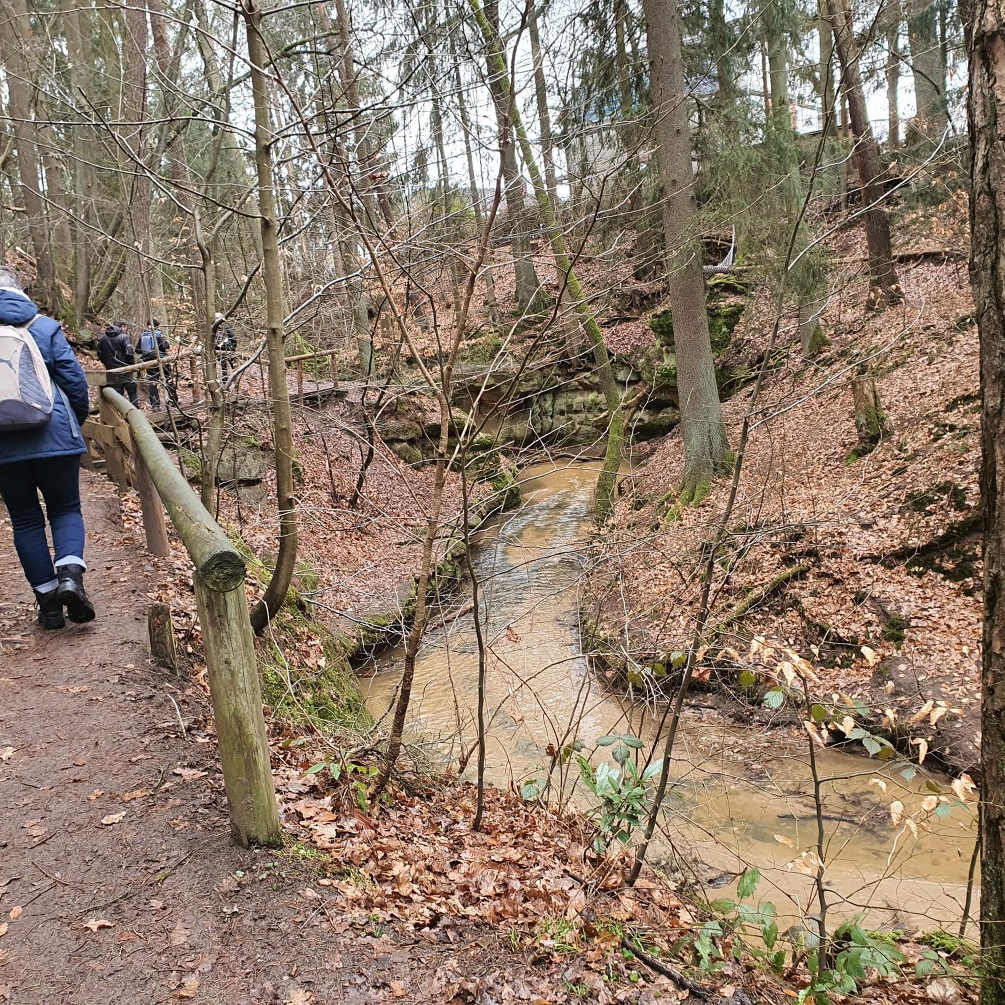
As you cycle through the rolling landscape of County Tyrone, the Wellbrook Beetling Mill is an absolute must for a stopover. Situated in an idyllic, wooded stream valley along the Ballinderry River, this 19th-century water mill provides a stark contrast to the tranquility of its surroundings. This is the last working 'beetling mill' in the United Kingdom. "Beetling" was the final step in traditional Irish linen production: using enormous wooden hammers (beetles), powered by a water wheel nearly five metres high, the linen was processed for hours until it acquired its characteristic sheen. When the mill is running, you can hear the rhythmic thudding from afar – an impressive sound that takes you straight back to the industrial heyday of Northern Ireland.
8
0

There is a little shrine up here and amazing views. If you enjoy a climb and want to stop to make a coffee here on a sunny day its stunning.
0
0


From Belfast International Airport, Derry is reached after a change in Antrim (15 min by bus) and 90 min by train. Right on the river, on the Waterside but close to a bridge that takes you to the other side, close to the center.
0
0

Here you have a wonderful view of the Foyle
0
0

Muff, derived from the Irish word 'Magh' (meaning 'plain') is a village near the mouth of the River Foyle as it converges into Lough Foyle. It's close to the border separating the Republic of Ireland and Northern Ireland. Due to its humorous name, the village gets frequent smirks from passersby and visitors. Despite recent proposals to rename it, such suggestions have been consistently rejected. Now, residents are embracing its double entendre fame, with merchandise like T-shirts, keyrings, and baseballs featuring the slogan 'I love Muff' being sold online. Since the early 17th century, the small town has celebrated summer with the annual 'Muff Festival'.
1
0
Frequently Asked Questions
How many road cycling routes are available around Edenreagh More?
There are over 80 road cycling routes around Edenreagh More, offering a wide range of options for different skill levels and preferences.
What kind of terrain can I expect on road cycling routes around Edenreagh More?
The region offers diverse terrain, from well-paved surfaces to segments with moderate to challenging elevation gains. While primarily road cycling, some routes may include unpaved sections for those seeking more adventure. You can expect views of Lough Neagh and areas near Garvagh Forest Trails.
Are there easy road cycling routes suitable for beginners or families in Edenreagh More?
Yes, Edenreagh More offers several easy road cycling routes. For example, the Green Island loop from Maydown is an 11.2-mile (18.0 km) trail that leads through varied landscapes and is often completed in under an hour, making it a great option for a relaxed ride.
What are some challenging road cycling routes for experienced riders?
For experienced riders seeking a challenge, routes like M. Gallagher's Bar – Peace Bridge, Derry loop from Strathfoyle offer significant elevation gain over its 60.7 miles (97.8 km). Another demanding option is the Park loop from Strathfoyle, which covers nearly 80 km with substantial climbing.
What scenic viewpoints or natural features can I see along the road cycling routes?
Road cycling routes in Edenreagh More often feature views of Lough Neagh and the dramatic cliffs of the Binevenagh Area of Outstanding Natural Beauty (AONB). From viewpoints within the Binevenagh AONB, you can enjoy panoramic vistas across Magilligan and Inishowen, and on clear days, even glimpse Islay and Jura in Scotland.
Are there any notable landmarks or attractions near the cycling routes?
Yes, several significant landmarks are accessible. The Peace Bridge in Derry/Londonderry, a symbol of unity, is a prominent feature on some routes, such as the Peace Bridge – Bloody Sunday Murals, Bogside loop from Strathfoyle. Other nearby attractions include the historic Guildhall Derry–Londonderry and the Bloody Sunday Murals, Bogside.
What is the best time of year for road cycling in Edenreagh More?
While specific conditions vary, the region's diverse terrain and scenic beauty are enjoyable throughout much of the year. Spring and summer generally offer the most favorable weather for cycling, with longer daylight hours and milder temperatures, ideal for exploring the coastal and AONB areas.
Are there circular road cycling routes available?
Yes, many road cycling routes around Edenreagh More are designed as loops, allowing you to start and finish at the same point. Examples include the Rough Fort loop from Eglinton and the Green Island loop from Maydown, providing convenient options for your ride.
What do other road cyclists enjoy most about road cycling in Edenreagh More?
The road cycling routes in Edenreagh More are highly rated by the komoot community, with an average score of 4.0 stars from 17 reviews. Cyclists often praise the diverse terrain, ranging from well-paved roads to challenging climbs, and the expansive views of Lough Neagh and the dramatic Binevenagh AONB.
How long do road cycling routes typically take to complete in this area?
Route durations vary significantly based on distance and elevation. Shorter, easier routes like the Green Island loop from Maydown can be completed in under an hour. Longer, more challenging routes, such as the M. Gallagher's Bar – Peace Bridge, Derry loop from Strathfoyle, can take over four hours, offering options for various time commitments.
Is there public transport access to the road cycling routes, or is parking available?
While specific public transport options to trailheads may vary, the region is generally accessible by car. Many routes, particularly those starting from towns like Strathfoyle or Maydown, often have nearby parking facilities. It's advisable to check local parking availability for your chosen starting point.
Most popular routes around Edenreagh More
Most popular attractions around Edenreagh More

Get inspired with the komoot mobile app


Explore more
Browse the best Road cycling routes in other regions.
