The best road cycling routes around Limmerensee
4.3
(3)
127
riders
1
ride
Road cycling around Limmerensee offers routes through the mountainous terrain of the Glarus region. The area features alpine valleys, river routes, and challenging ascents. Road cyclists can expect varied landscapes, including stretches alongside water bodies and through rural settlements. The topography provides opportunities for both sustained climbs and scenic valley rides.
Best road cycling routes around Limmerensee
- The most popular road cycling route is Valata – Ilanz loop from Trun, a 34.0 miles (54.7 km) trail that takes 3…
Last updated: July 7, 2026
5.0
(1)
35
riders
53.4km
03:18
1,210m
1,210m
Hard road ride. Very good fitness required. Some segments of this route may be unpaved and difficult to ride.
24
riders
24.8km
01:14
390m
390m
Moderate road ride. Good fitness required. Mostly well-paved surfaces and easy to ride.

Sign up for free
9
riders
33.6km
02:15
1,080m
1,090m
Hard road ride. Very good fitness required. Mostly well-paved surfaces and easy to ride.
3.0
(1)
5
riders
18.0km
01:24
690m
690m
Moderate road ride. Good fitness required. Mostly well-paved surfaces and easy to ride.
5.0
(1)
21
riders
21.2km
01:22
620m
620m
Moderate road ride. Good fitness required. Mostly well-paved surfaces and easy to ride.
Our route recommendations are based on thousands of hikes, rides, and runs completed by other people on komoot.
Start today with a free account
Your next adventure awaits.
Login or Signup
Tips from the Community

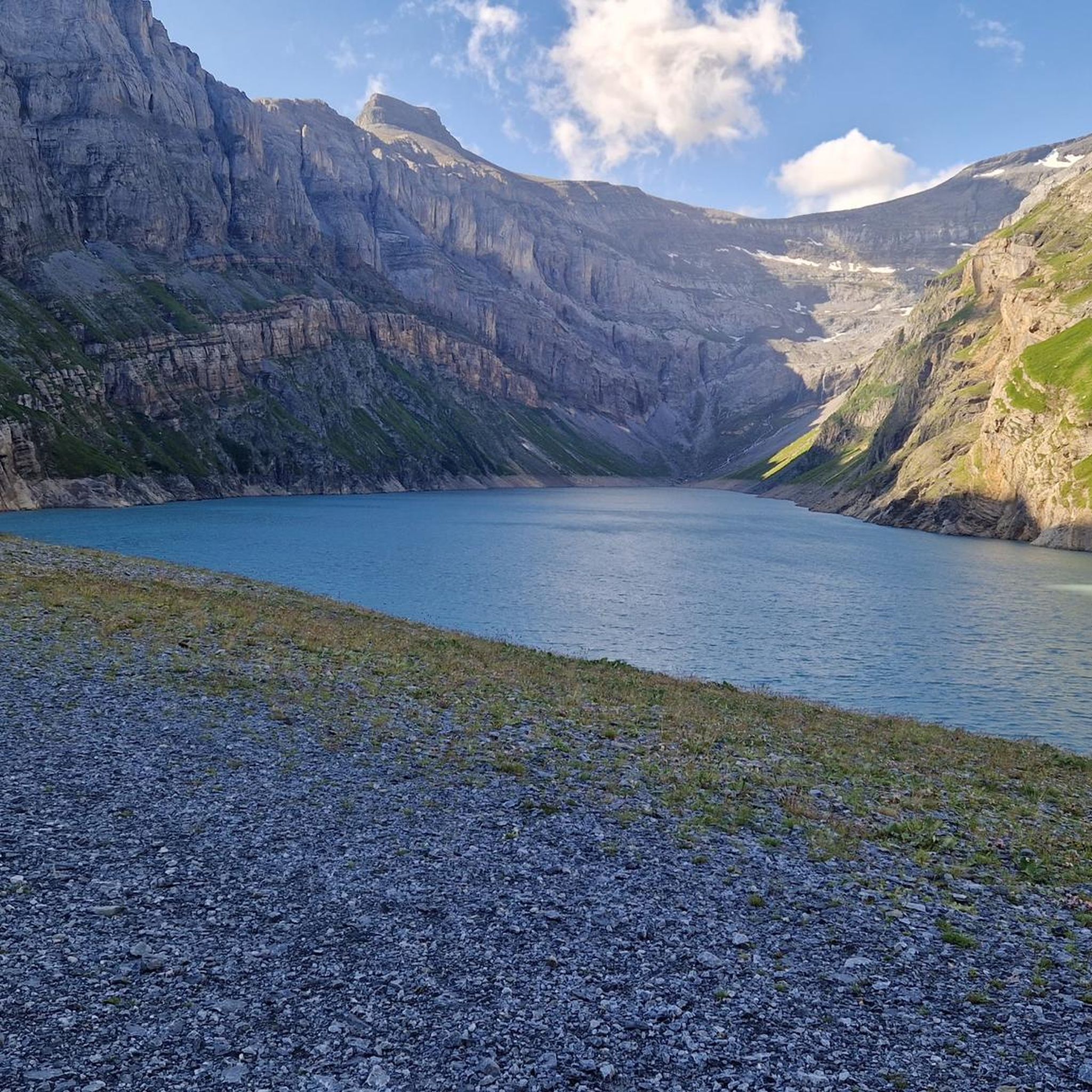
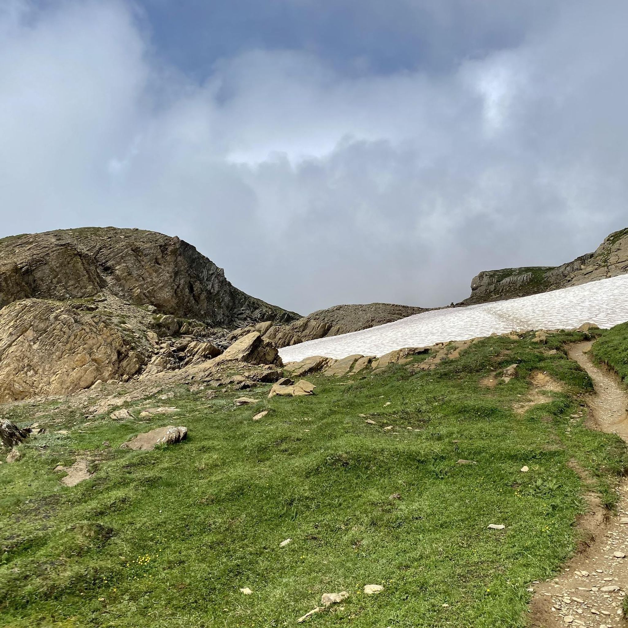
From here you can clearly see and understand the extent of this special high valley.
0
0


Beautiful accommodation on the Rhine Cycle Route EuroVelo 15 in Tavanasa/Danis with swimming in the Rhine.
1
0

Disentis is the largest town in Surselva and NOT Ilanz.
1
0

Naturi Urnerboden is a very good place to stay in the Urnerboden region. The hosts, Marlene and Stefan Marty, are very helpful and can also offer valuable tips.
0
0

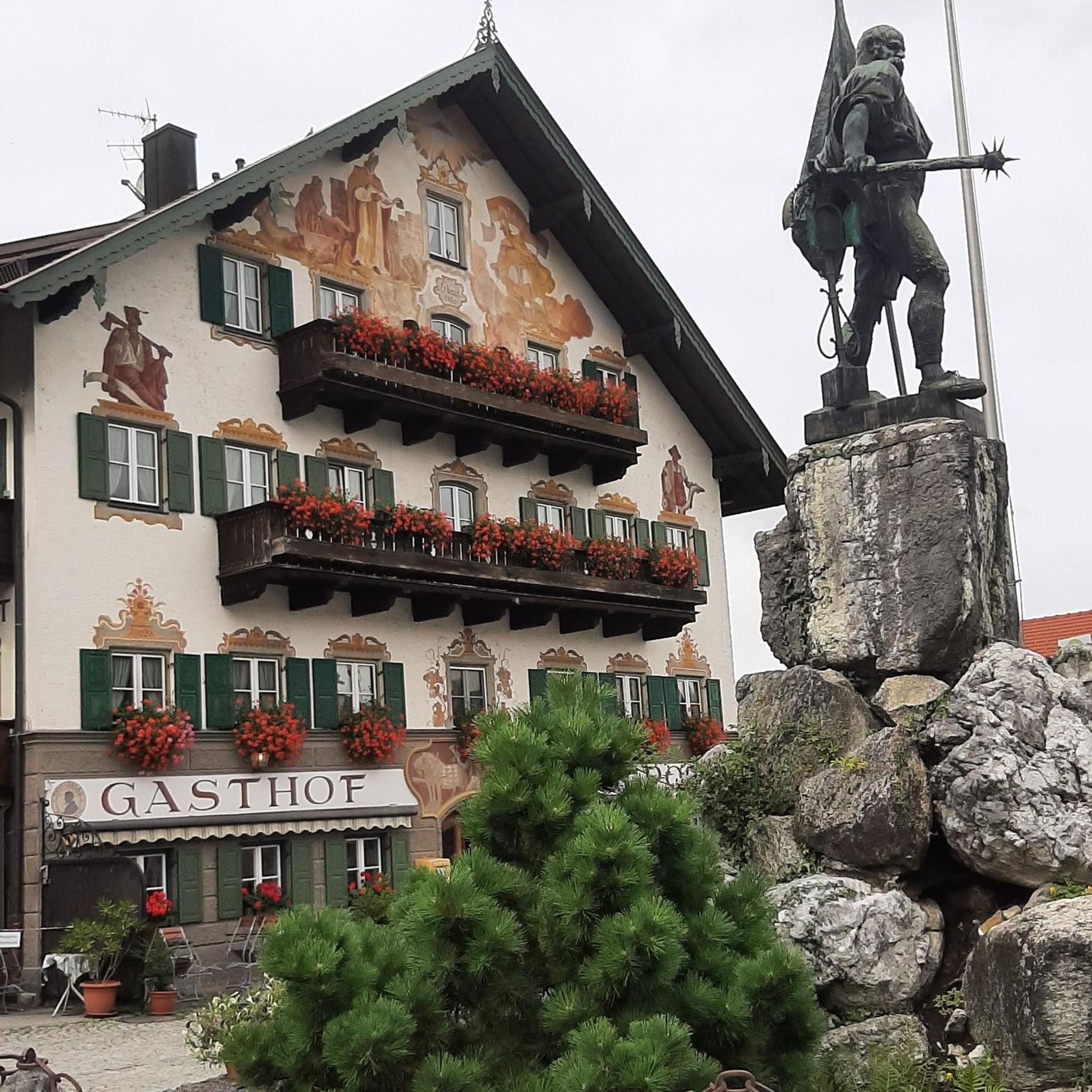
Trun, site of the Grey League, Museum Surselva
0
0

A very clean town and well-designed areas.
4
0
This monastery has something to offer, I even attended the service which was in German.
4
0
Frequently Asked Questions
How many road cycling routes are available around Limmerensee?
There are several road cycling routes around Limmerensee, with komoot featuring at least 5 distinct tours. These routes offer a variety of experiences, from moderate valley rides to challenging alpine ascents.
Are there beginner-friendly road cycling routes in the Limmerensee area?
While many routes in the Limmerensee area feature significant elevation, some offer a more moderate experience. For example, the Disentis Abbey – Disentis/Mustér loop from Trun is a moderate 15.5-mile (25.0 km) path with a mix of valley riding and gradual climbs, suitable for those looking for less intense challenges.
What are some challenging road cycling routes around Limmerensee?
Road cyclists seeking a challenge will find several demanding routes. The Valata – Ilanz loop from Trun is a difficult 34.0-mile (54.7 km) trail with significant elevation gain, taking over 3 hours to complete. Another difficult option is the Brigels – Affeier loop from Breil/Brigels, covering 20.8 miles (33.4 km) through alpine valleys.
Are there circular road cycling routes available?
Yes, many of the road cycling routes around Limmerensee are designed as loops, allowing you to start and finish in the same location. Examples include the Valata – Ilanz loop from Trun and the Brigels – Breil/Brigels village center loop from Trun.
What is the best time of year for road biking around Limmerensee?
The mountainous terrain of the Glarus region means that late spring through early autumn (roughly May to October) generally offers the most favorable conditions for road cycling. During these months, mountain passes are typically clear of snow, and the weather is more stable. Always check local weather forecasts and road conditions before heading out, especially in higher elevations.
What are the typical trail conditions for road cycling in this region?
Road cycling routes around Limmerensee primarily follow paved roads. Given the alpine environment, you can expect well-maintained surfaces on main roads, but some smaller, less-trafficked roads might have varying conditions. Be prepared for ascents and descents, and always be mindful of traffic, especially in rural settlements.
Are there scenic viewpoints along the road cycling routes?
The Limmerensee region, situated in the Glarus Alps, is renowned for its stunning natural beauty. Road cycling routes often traverse alpine valleys and offer panoramic views of the surrounding mountains, river routes, and rural landscapes. Keep an eye out for vistas as you climb to higher elevations or ride alongside water bodies.
What do other road cyclists enjoy the most about road cycling in Limmerensee?
The road cycling routes in Limmerensee are highly rated by the komoot community, with an average score of 4.3 stars from several reviews. Cyclists often praise the varied landscapes, from challenging alpine climbs to scenic valley rides, and the opportunity to explore the mountainous terrain of the Glarus region.
Are there options for public transport access to the road cycling routes?
The Glarus region, where Limmerensee is located, typically has a well-developed public transport network, including post buses and trains, which can often be used to reach starting points of routes or to shorten longer tours. It's advisable to check local public transport schedules and bike transport policies for specific routes and stations.
Where can I find parking for road cycling routes around Limmerensee?
Parking availability varies by starting point. Many villages and towns in the region, such as Trun or Breil/Brigels, offer public parking facilities. When planning your route on komoot, you can often find information about parking options near the suggested starting points.
Are there cafes or places to stop for refreshments along the routes?
Yes, as routes often pass through or near rural settlements and villages, you will typically find opportunities for refreshments. Many villages in the Glarus region have local cafes, restaurants, or small shops where you can stop for a break and refuel during your ride.
Can I find less-known road bike paths in the Limmerensee area?
While the main routes are popular, the extensive network of roads in the Glarus region means there are always quieter, less-trafficked roads to explore. Using komoot's route planner allows you to discover and customize routes, potentially uncovering hidden gems away from the more frequented paths, especially in the numerous alpine valleys.
Most popular routes around Limmerensee

Get inspired with the komoot mobile app


Explore more
Browse the best Road cycling routes in other regions.
