The best walks and hikes around Lützelsee
4.6
(2345)
19,915
hikers
904
hikes
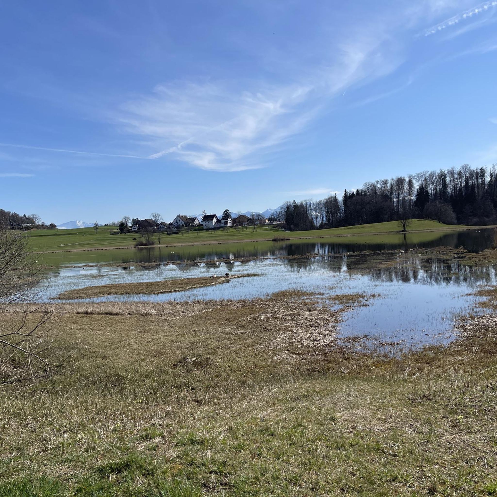
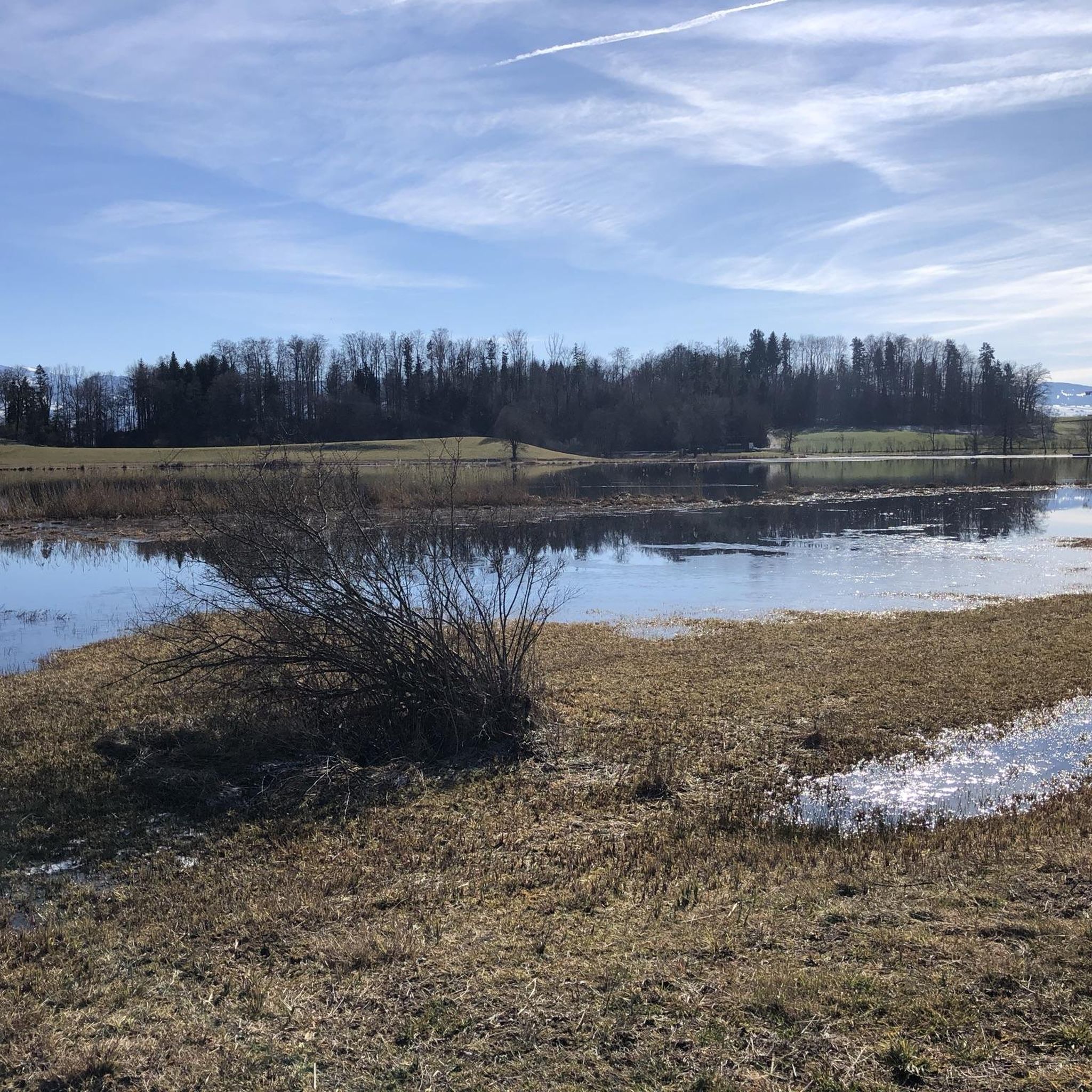
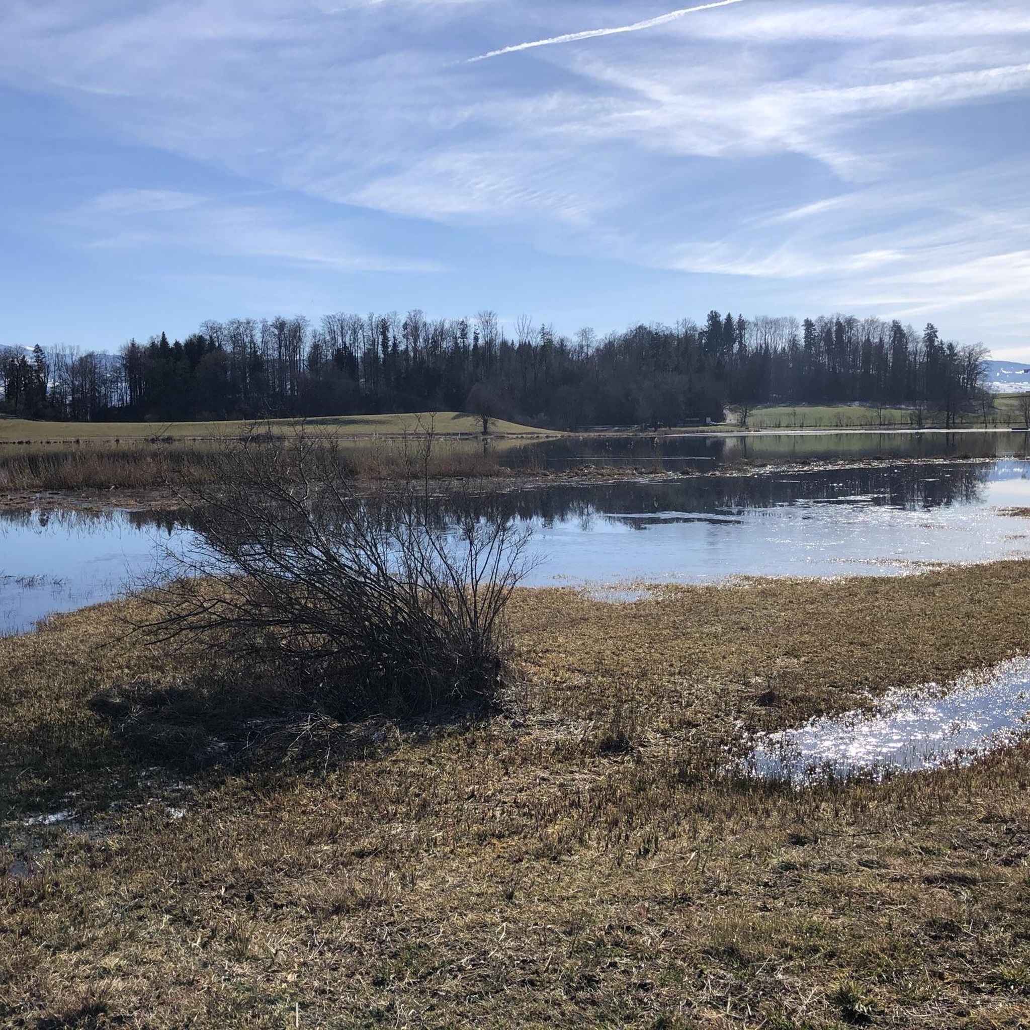
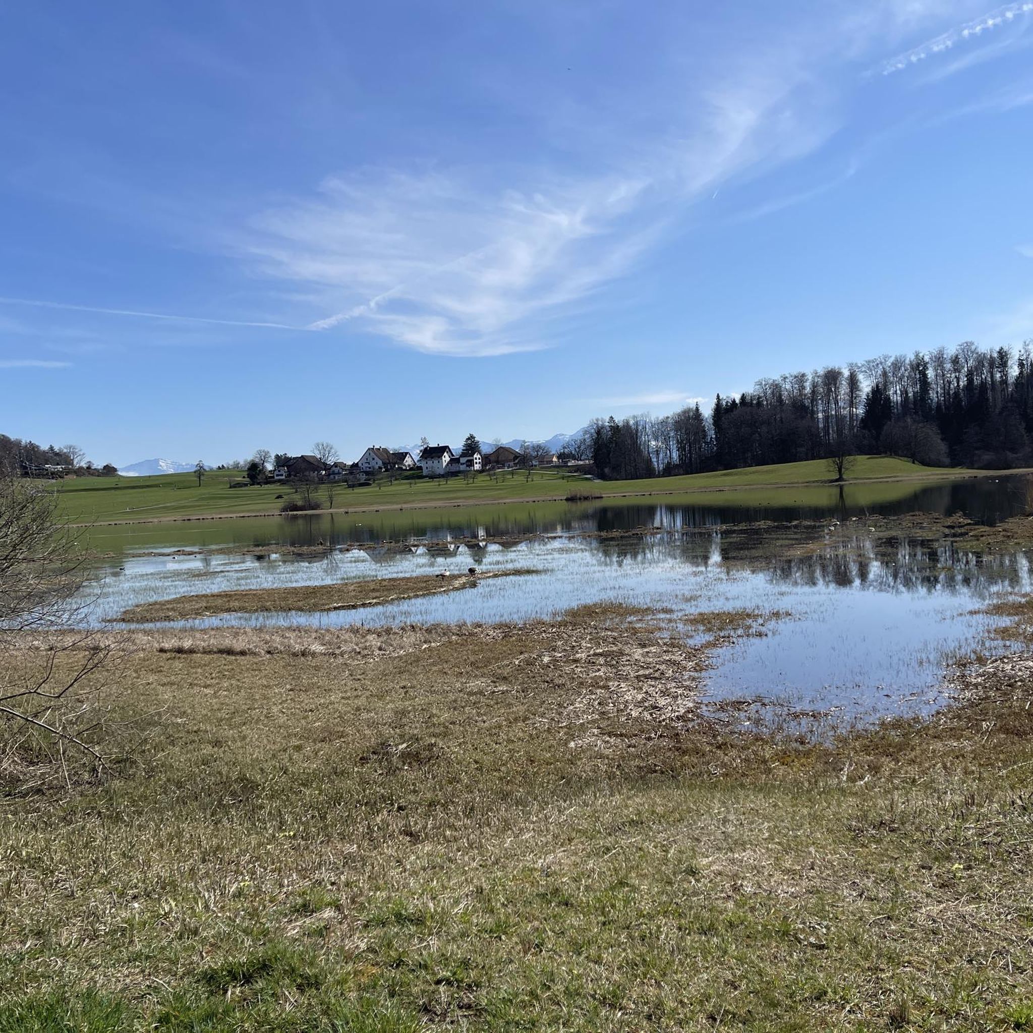
Hiking around Lützelsee offers diverse natural features within the Zurich Oberland region of Switzerland. The area is characterized by lush green landscapes, expansive meadows, and light woodlands providing shade. Lützelsee itself is a nature reserve featuring moors, reeds, and marshlands, reflecting the surrounding terrain. This accessible environment provides a variety of paths for outdoor enthusiasts.
Best hiking trails around Lützelsee
- The most popular hiking route is View of Lake Lützelsee – Stork colony in Hasel loop from Hombrechtikon, a…
Last updated: August 21, 2026
4.4
(20)
68
hikers
10.3km
02:47
140m
140m
Moderate hike. Good fitness required. Easily-accessible paths. Suitable for all skill levels.
1
hikers
13.5km
03:39
180m
180m
Moderate hike. Good fitness required. Easily-accessible paths. Suitable for all skill levels.

Sign up for free
12
hikers
2.05km
00:32
20m
20m
Easy hike. Great for any fitness level. Easily-accessible paths. Suitable for all skill levels.
5.0
(1)
7
hikers
6.16km
01:38
60m
70m
Easy hike. Great for any fitness level. Easily-accessible paths. Suitable for all skill levels.
5.0
(1)
4
hikers
4.94km
01:22
90m
90m
Easy hike. Great for any fitness level. Easily-accessible paths. Suitable for all skill levels.
Get access to more routes and recommendations from other explorers.
Sign up for free
Already have an account?
Our route recommendations are based on thousands of hikes, rides, and runs completed by other people on komoot.
Start today with a free account
Your next adventure awaits.
Login or Signup
Tips from the Community

Wonderfully beautiful old half-timbered house
0
0
Absolutely beautiful corner to take a break
0
0

Heavily visited on the weekend. Drinks and food at the Badi and in the garden pub Hasel.
1
0

Towards the end (east) of the forest trail, there are always beautiful views of Lake Zurich and Lake Obersee.
0
0
A frequently visited small lake that can be easily circumnavigated (north side asphalt road, south side gravel path).
0
0


Frequently Asked Questions
How many hiking trails are available around Lützelsee?
There are over 900 hiking routes in the Lützelsee region, catering to various preferences. You'll find a wide selection, from easy strolls to more challenging treks, ensuring there's something for every hiker.
What is the best time of year to hike around Lützelsee?
Lützelsee is beautiful year-round, but spring and summer are particularly rewarding. In spring, you can observe countless storks and their nesting spots, as the area is renowned as a 'paradise for storks.' The lush green landscapes and pleasant weather make it ideal for enjoying the trails and the lake's amenities.
Are there easy hiking trails suitable for beginners or families with small children?
Yes, Lützelsee offers many easy trails. A major highlight is the circular path around Lützelsee itself, which is approximately 3 kilometers (just under 2 miles) long. This obstacle-free route is ideal for leisurely strolls, families with small children, and even strollers, featuring flat gravel paths and some paved sections. Over 540 easy routes are available in the region.
Can I bring my dog on the hiking trails around Lützelsee?
Yes, dogs are generally welcome on the hiking trails around Lützelsee. However, as Lützelsee is a nature reserve, it's important to keep your dog on a leash, especially to protect the abundant birdlife, including the famous storks, and other wildlife in the marshlands and reeds.
What kind of natural features and landmarks can I expect to see while hiking?
The Lützelsee region is characterized by lush green landscapes, expansive meadows, and light woodlands. You'll encounter the scenic Lützelsee itself, with its moors, reeds, and marshlands. The area is also famous for its stork colony, offering opportunities to observe these birds. Additionally, you can pass through charming hamlets like Lutikon, known for its wonderful timber-framed houses.
Are there any circular hiking routes around Lützelsee?
Yes, circular routes are very popular in the Lützelsee area. The easy circular path around Lützelsee is a prime example, starting often from Hombrechtikon. Another option is the Lutikon Hamlet – Lützelsee loop from Hombrechtikon, which is an easy 6.1 km route that takes you through the hamlet and around parts of the lake.
What amenities are available along the hiking trails, such as places to eat or picnic?
You'll find several amenities to enhance your hike. There are large picnic areas equipped with tables and grill pits, particularly in the forest section overlooking Hombrechtikon. Along the trails, you can also find self-service farm stores for picnic supplies and cafes, such as the Hasel garden restaurant, for refreshments.
Is there a place to swim or cool off after a hike?
Yes, Lützelsee features a lido (bathing facility) with good water quality, perfect for cooling off. It includes a diving raft and a wading pool for children. A kiosk at the lido offers snacks, drinks, and ice cream.
How can I reach the Lützelsee hiking trails using public transport?
The Lützelsee area is accessible via public transport, with Hombrechtikon often serving as a convenient starting point for many routes. We recommend checking local public transport schedules for the most current connections to Hombrechtikon or other access points around the lake.
Are there parking facilities available for hikers?
While specific parking details for every trailhead are not provided, Hombrechtikon is a common starting point for many routes around Lützelsee, suggesting parking options are available in or near the village for hikers accessing the trails.
What do other hikers enjoy most about Lützelsee?
The Lützelsee region is highly rated by the komoot community, with an average score of 4.6 stars from over 1,900 reviews. Hikers often praise the picturesque landscapes, the tranquility of the nature reserve, the opportunities to observe storks, and the well-maintained, accessible paths suitable for various skill levels.
Are there any longer or more challenging routes for experienced hikers?
While Lützelsee is known for its easy and moderate trails, there are options for longer hikes. For example, the Töbeliweiher – Badi Lützelsee loop from Hombrechtikon is a moderate 13.6 km (8.5 miles) trail, taking about 3 hours 41 minutes, offering a more extended experience through varied terrain. There are 25 difficult routes in the wider region for those seeking a greater challenge.
Most popular routes around Lützelsee

Get inspired with the komoot mobile app


Explore more
Browse the best Hikes in other regions.
