The best MTB trails around Aghnamoira
4.9
(20)
599
riders
26
rides
Mountain biking around Aghnamoira offers access to diverse landscapes, characterized by dense forests, rugged mountain ranges, and scenic lough views. The region features varied terrain, including well-maintained trail systems and challenging climbs. Riders can explore areas with significant elevation changes and natural features like the Mourne Mountains and Carlingford Lough.
Best mountain bike trails around Aghnamoira
- The most popular mountain bike trail is Rostrevor trails park loop – Rostrevor Oakwood National Nature Reserve, a 10.4 miles (16.7 km) trail…
Last updated: October 14, 2026
5.0
(2)
35
riders
16.7km
01:42
490m
490m
Moderate mountain bike ride. Good fitness required. Suitable for all skill levels.
36
riders
22.7km
02:16
590m
590m
This difficult 14.1-mile mountain biking loop from Rostrevor offers challenging climbs, technical descents, and stunning Mourne views.

65.9km
05:37
1,280m
1,280m
This difficult 41.0-mile mountain biking loop in the Ring of Gullion offers panoramic views and challenging terrain.
2
riders
40.3km
03:09
910m
910m
Hard mountain bike ride. Very good fitness required. Suitable for all skill levels.
5.0
(1)
42
riders
Moderate mountain bike ride. Good fitness required. Suitable for all skill levels.
Get access to more routes and recommendations from other explorers.
Already have an account?
Our route recommendations are based on thousands of hikes, rides, and runs completed by other people on komoot.
Start today with a free account
Your next adventure awaits.
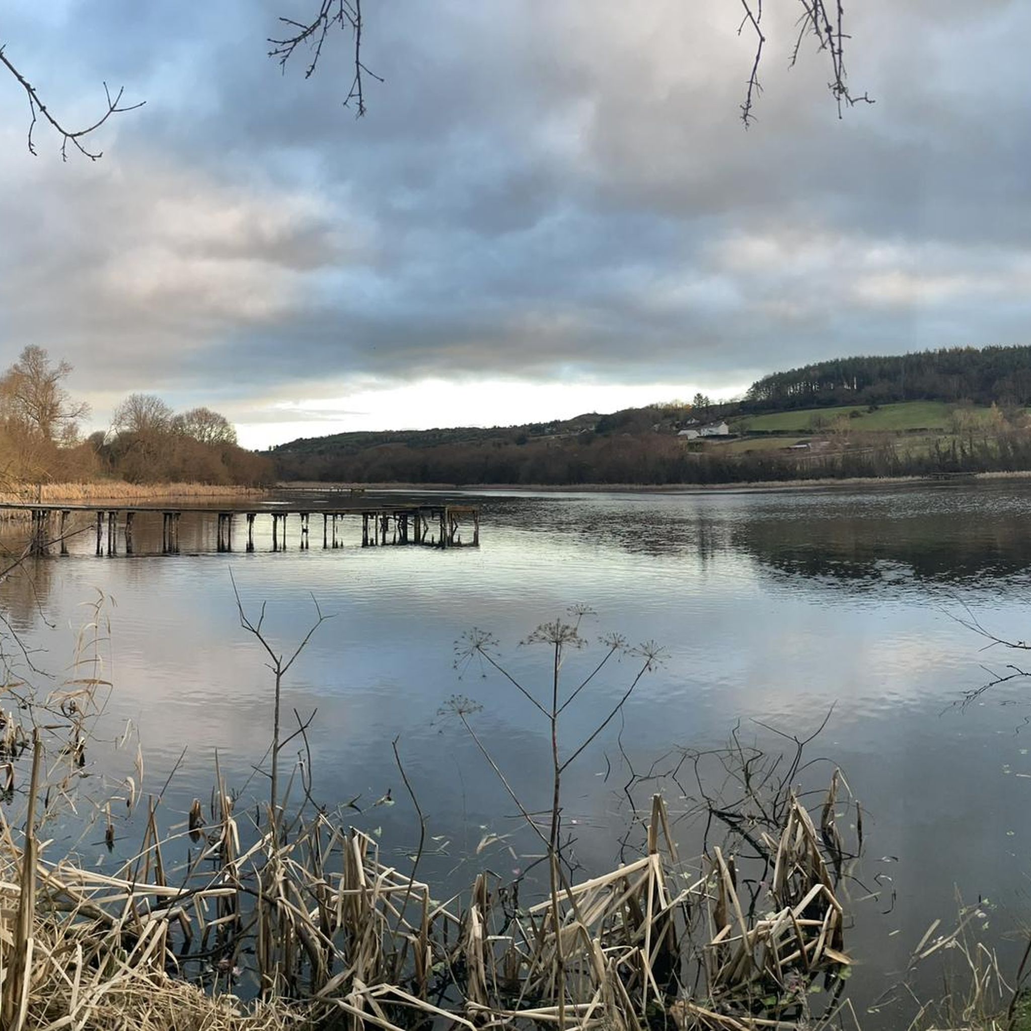
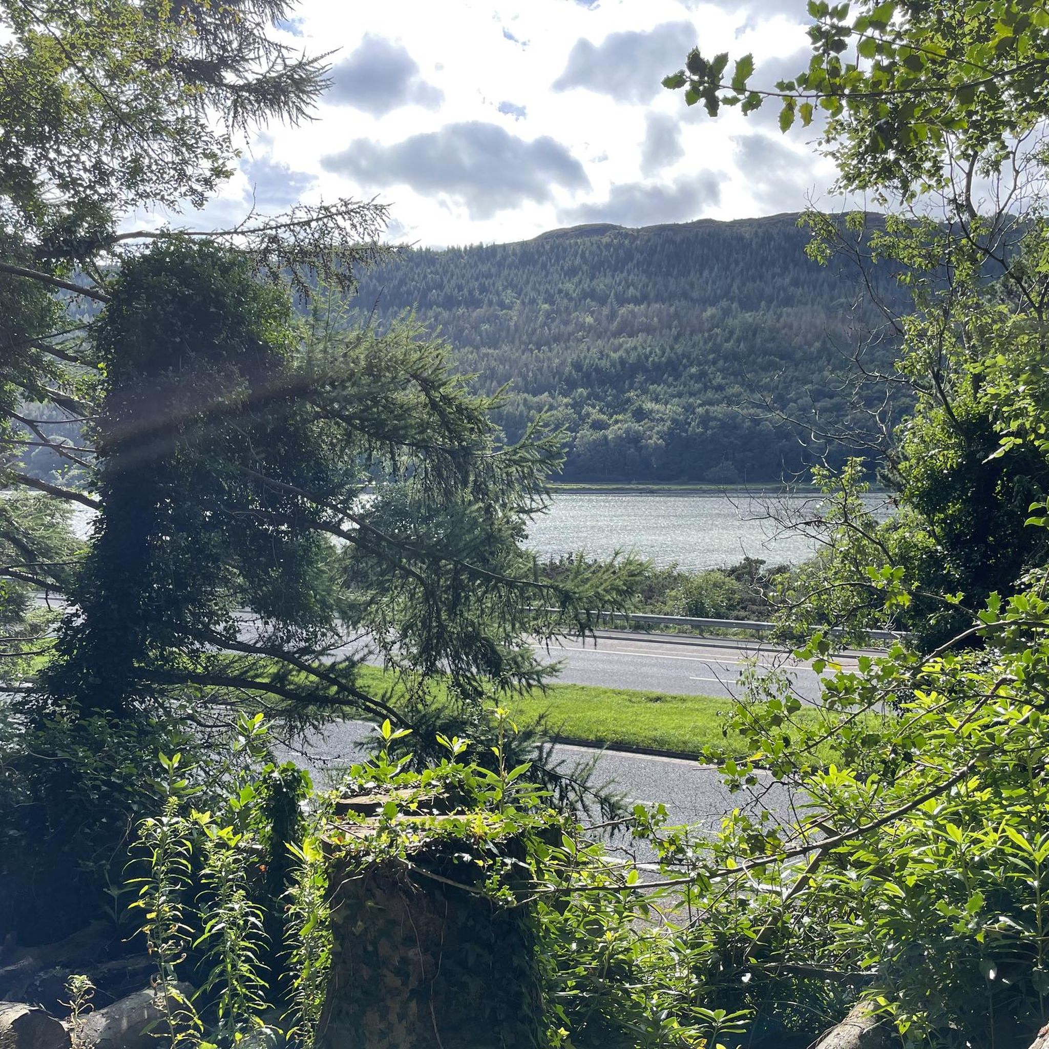
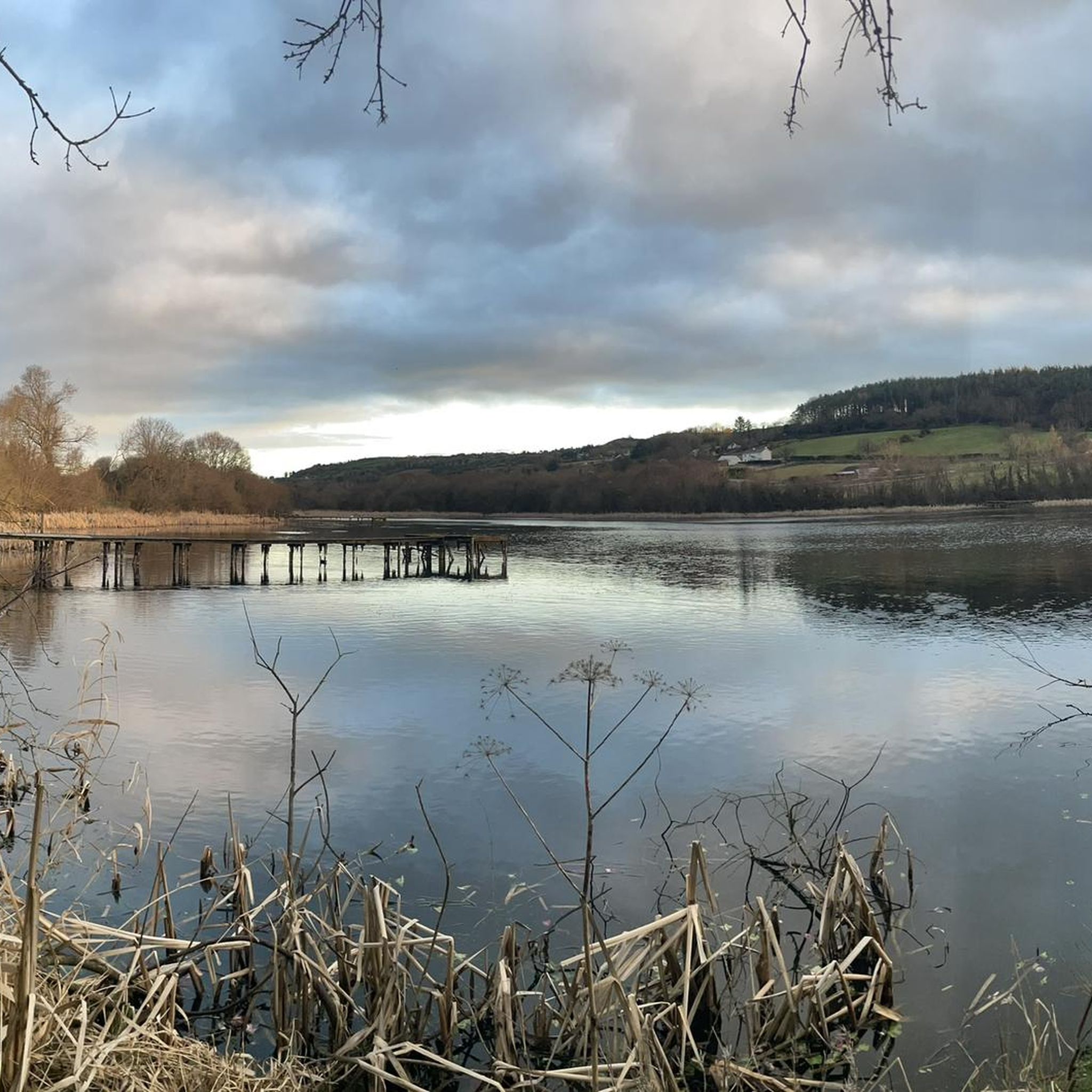

Tips from the Community

The Ring of Gullion is a circular route following off-road trails, quiet country lanes and forest tracks from Newry around the volcanic landscape of the Ring of Gullion AONB. This section follows some fun gravel trails.
0
0

Once you leave the city of Newry behind, you cycle towards tranquility on An Bealach Glas, also known as the Carlingford Lough Greenway. This flat, smoothly asphalted path follows the banks of the canal and offers spectacular views of the river's mudflats along the way, where you can spot numerous wading birds and sometimes even a stray seal. The route is a true sensory experience: the salty sea air blows towards you while the mountains seem to get closer and closer. The absolute endpoint of this section is the historic Victoria Lock, an impressive lock complex from 1850 that marks the transition from the canal to the open waters of Carlingford Lough. It is the perfect place to get some fresh air and enjoy the maritime dynamics before continuing your journey to the coast.
6
0

The well-signposted paths lead you through dense forests and offer impressive views of Carlingford Lough and the Mourne Mountains. The mountain bike routes in particular are varied and require both fitness and technique. However, some sections can be slippery in wet weather, so caution is advised. A highlight is the Cloughmore Stone, a huge boulder that was transported here during the last ice age. The approach there is steep, but the view makes up for the effort.
0
0
On the way through the Giant's Lair you will be immersed in Irish legends. As soon as you pass under the artistically carved archway, a magical world opens up in which the story of Finn McCool comes to life. The path leads you and the whole family through four chapters that bring the world of legend to life with lovingly designed stations. For the little ones it is an exciting treasure hunt - at every bend there are new clues waiting for them, which they eagerly discover. While they run ahead to find the next adventure, there is enough time for you to enjoy the lush nature. The dense trees, the mosses and the ancient carvings make you forget everyday life. You are in the middle of a story that unfolds further with every step.
1
0

Start of a beautiful path
0
0

Beautiful Forest features scenic trails with amazing views of Carlingford Lough, especially from The Cloghmore Stone, a 40 tonne granite boulder which was deposited here at the end of the last ice age. The Oak wood is a Special Area of Conservation believed to be over 250 years old. It is a remnant of the old oak woodlands that clothed the lower slopes of the Mournes several centuries ago. Most of these oak woods were cleared during the 18th and 19th centuries for use in boat building.
2
0

Lovely start to most walks around Kilbroney park.
0
0

The site can trace its roots back to the 6th century when a monastery for nuns was founded by St. Moninna. The ruins of the two joined churches that can still be seen date from the 11th and the 15th century. Look for the large slab which is said to be St Moninna's grave.
1
0
Frequently Asked Questions
How many mountain bike trails are available around Aghnamoira?
There are over 25 mountain bike trails around Aghnamoira, catering to various skill levels. The komoot community has explored more than 600 mountain biking routes in the area.
What kind of terrain can I expect on mountain bike trails near Aghnamoira?
The terrain around Aghnamoira is diverse, featuring dense forests, rugged mountain ranges, and scenic lough views. You'll find everything from well-maintained trail systems in places like Kilbroney Park to challenging climbs and descents in the Mourne Mountains. Trails can range from moderate forest paths to difficult mountain climbs, with some sections potentially slippery in wet weather.
Are there mountain bike trails suitable for beginners or families in Aghnamoira?
Yes, the Rostrevor Mountain Bike Trail Centre within the Mournes offers trails graded for different abilities, including Green and Blue routes which are suitable for beginners and families. These trails provide a less technical experience while still enjoying the scenic surroundings.
What natural landmarks or scenic viewpoints can I see while mountain biking?
Many trails offer breathtaking views of Carlingford Lough and the Mourne Mountains. Notable landmarks include the Cloughmore Stone, a massive glacial boulder in Kilbroney Park, and the panoramic vistas from Slieve Gullion Summit, an extinct volcano with historical significance. You might also encounter the North Cairn of Slieve Gullion.
Are there any circular mountain bike routes in the Aghnamoira area?
Yes, many routes are designed as loops. For example, the Rostrevor trails park loop offers a moderate 10.4-mile circular ride through forest paths. Another option is the more challenging Pierce's Castle climb loop from Rostrevor, which provides significant climbs and panoramic views.
Where can I park my car when visiting mountain bike trails near Aghnamoira?
Kilbroney Park, a popular mountain biking destination near Rostrevor, offers dedicated parking facilities for visitors accessing its extensive trail network. Other trailheads in the wider Mourne Mountains area also typically have parking available, though it's always good to check specific route details.
Is public transport available to access mountain bike trails in Aghnamoira?
Public transport options are available, particularly to key hubs like Rostrevor village, which is a gateway to the Kilbroney Park trails. Bus services connect Rostrevor to larger towns, making it possible to reach the area without a car. However, direct access to all trailheads via public transport may vary.
What do other mountain bikers enjoy most about mountain biking in Aghnamoira?
The area is highly rated by the komoot community, with an average score of 4.9 stars from over 15 reviews. Riders often praise the diverse scenery, from dense forests to rugged mountains and coastal views, as well as the variety of trails catering to different skill levels.
What is the best time of year for mountain biking in Aghnamoira?
The region offers enjoyable mountain biking throughout much of the year. However, trails can become slippery in wet weather, so drier seasons like late spring, summer, and early autumn generally offer the best conditions. Always check local weather forecasts and trail conditions before heading out.
Are there any advanced mountain bike routes for experienced riders?
Yes, experienced riders will find challenging options. The Rostrevor Mountain Bike Trail Centre includes Red, Black, and Downhill graded trails designed for advanced riders. Routes like the Newry, Carnavaddy and Annaloughan Mountain loop also offer difficult terrain and significant elevation changes over a longer distance.
Are there cafes or pubs near the mountain bike trails in Aghnamoira?
Rostrevor village, located close to Kilbroney Park and many trailheads, offers a selection of cafes and pubs where you can refuel and relax after your ride. Other nearby towns and villages also provide amenities for visitors.
Most popular attractions around Aghnamoira

Get inspired with the komoot mobile app


Explore more
Browse the best MTB trails in other regions.
