Brightwell-Cum-Sotwell
Brightwell-Cum-Sotwell
The best walks and hikes around Brightwell-Cum-Sotwell
4.6
(1378)
8,901
hikers
555
hikes
Hiking around Brightwell-Cum-Sotwell offers a variety of trails through the rolling Oxfordshire countryside, characterized by the River Thames and prominent hills like Wittenham Clumps. The landscape features a mix of riverside paths, open fields, and ancient earthworks. This area provides opportunities for both leisurely strolls and longer, more challenging hikes, often with scenic viewpoints.
Best hiking trails in Brightwell-Cum-Sotwell
- The most popular hiking route is Wittenham Clumps and Thames Path Circular, a 6.3 miles (10.2 km) trail that takes 2 hours 42 minutes to complete. This moderate route combines riverside walking with ascents to the notable Wittenham Clumps hills.
- Another top favourite among local hikers is Grim's Ditch and Thames Path Loop from Wallingford, a moderate 10.8 miles (17.4 km) path. This trail explores ancient earthworks and follows sections of the Thames Path, offering varied scenery.
- Local hikers also love the Wittenham Clumps loop, a 1.3 miles (2.0 km) trail leading through the iconic Wittenham Clumps, often completed in about 35 minutes.
- Hiking around Brightwell-Cum-Sotwell is defined by river paths along the Thames, gentle hills offering viewpoints, and open countryside. The network offers options for different ability levels, from easy family friendly walks to longer, more strenuous routes.
- The routes in Brightwell-Cum-Sotwell are highly rated by the komoot community with an average score of 4.6 stars from over 1200 reviews. More than 8000 hikers have used komoot to explore Brightwell-Cum-Sotwell's varied terrain.
Last updated: July 6, 2026
4.7
(44)
160
hikers
10.2km
02:43
110m
110m
Embark on the Wittenham Clumps and Thames Path Circular, a moderate hiking route that guides you through ancient woodlands and along the serene River Thames. You will experience panoramic views from the iconic Wittenham Clumps, including Castle Hill and Round Hill, as you cover 6.3 miles (10.2 km) with an elevation gain of 351 feet (107 metres). This journey typically takes around 2 hours and 42 minutes to complete, offering a rewarding outdoor experience.
When planning your visit, be aware that the terrain includes rough ground and a steep ascent to the Clumps. Good hiking boots are highly recommended, especially if there has been recent rain, as paths can become very muddy. Sections of the trail near the river are also prone to flooding, so check conditions before you head out to ensure a comfortable hike.
This route is nestled within the North Wessex Downs National Landscape, a protected area known for its natural beauty. As you hike, keep an eye out for local wildlife such as red kites soaring overhead and deer in the woodlands, adding to the trail's unique charm. The distinctive beech trees along the path also contribute to the area's special character.
4.8
(12)
34
hikers
17.4km
04:30
90m
90m
Embark on the Grim's Ditch and Thames Path Loop from Wallingford, a moderate hiking route spanning 10.8 miles (17.4 km) with an elevation gain of 309 feet (94 metres). You can expect to complete this journey in about 4 hours and 29 minutes. As you hike, you will enjoy varied scenery, from the tranquil views of the River Thames to the ancient earthworks of Grim's Ditch. Keep an eye out for the impressive Moulsford Railway Bridge and the charming villages of Mongewell and North Stoke along the way. The trail offers a mix of riverside paths and historic landscapes, providing a rewarding outdoor experience.
When planning your visit, be aware that the trail features varied surfaces, including narrow dirt paths, grassy sections, and quiet lanes. Some parts can become muddy, especially after rain, so wearing appropriate waterproof footwear is a good idea. While the route is generally accessible, a good level of fitness and sure-footedness will help you comfortably navigate its moderate difficulty. Consider starting your hike earlier in the day to fully enjoy the scenery and complete the loop before dusk.
This loop takes you through a historically rich area, prominently featuring the ancient earthworks of Grim's Ditch, which can be up to 3 metres deep in places. These significant linear features offer a glimpse into the region's past. If you visit in spring, the wooded sections of Grim's Ditch are particularly known for their vibrant bluebell displays, adding a beautiful natural highlight to your hike. The combination of historical interest and natural beauty makes this trail a distinctive option in the Chilterns National Landscape.

Sign up for free
5
hikers
2.04km
00:35
50m
50m
Easy hike. Great for any fitness level. Easily-accessible paths. Suitable for all skill levels.
4.9
(40)
184
hikers
9.59km
02:34
110m
110m
Moderate hike. Good fitness required. Easily-accessible paths. Suitable for all skill levels.
4.6
(11)
59
hikers
Easy hike. Great for any fitness level. Easily-accessible paths. Suitable for all skill levels.
Get access to more routes and recommendations from other explorers.
Sign up for free
Already have an account?
Our route recommendations are based on thousands of hikes, rides, and runs completed by other people on komoot.
Start today with a free account
Your next adventure awaits.
Login or Signup


Tips from the Community


Added to the collection: komoot.com/de-de/collection/3600632/-naturdenkmaeler-besondere-baeume-und-weitere-schaetze-der-natur
0
0


Day's Lock is a lock on the River Thames near Dorchester-on-Thames, Oxfordshire, England on the Dorchester side of the river. The pound lock was built in 1789 by the Thames Navigation Commissioner. The lock is across the river from the small village of Little Wittenham and is overlooked from the south by the hills of Wittenham Clumps, with a particularly good view from Round Hill. The weir runs straight across the river from the other side of the lock island. Day's Lock is the main gauging station for the measurement of the water flow in the River Thames.
0
0
Neighbouring Wharf Road has a slipway, boathouse and 12 listed buildings (at Grade II),
0
0
Little Wittenham Wood has been designated as both a Site of Special Scientific Interest (SSSI) and a Special Area of Conservation (SAC), reflecting its international importance for wildlife. The nature reserve is particularly important for the endangered species, the Great Crested Newt. This shy amphibian uses the many ponds within the nature reserve to breed, but it spends the majority of time in the surrounding woodland. Tucking itself quietly away in safe and secure hidden spots, you have to search carefully to find them. Much easier to spot are the dragonflies and damselflies which hover around the ponds. If you wander down to the bird hide, at the river’s edge, you might be lucky enough to catch a glimpse of Kingfishers or Otters.
0
0
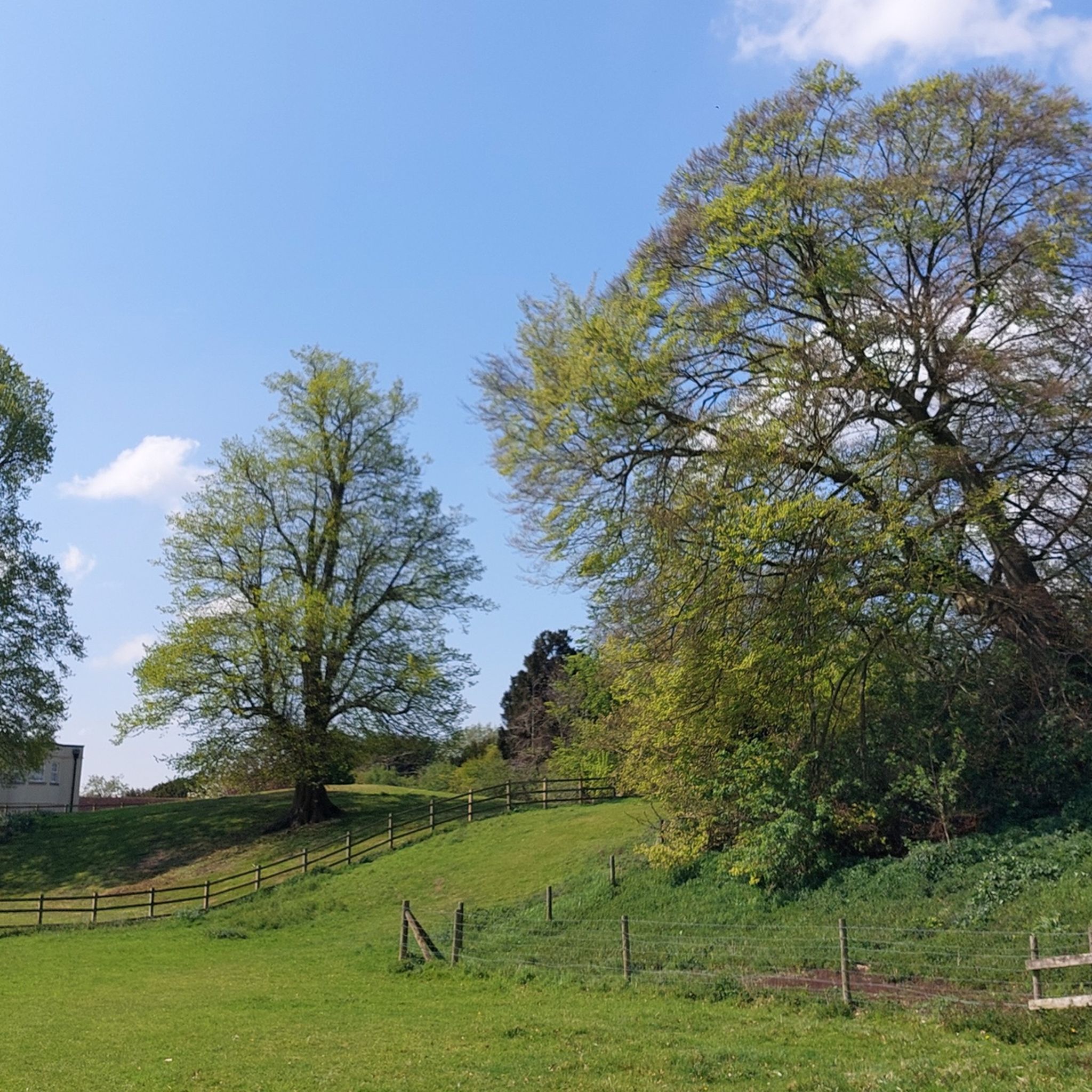
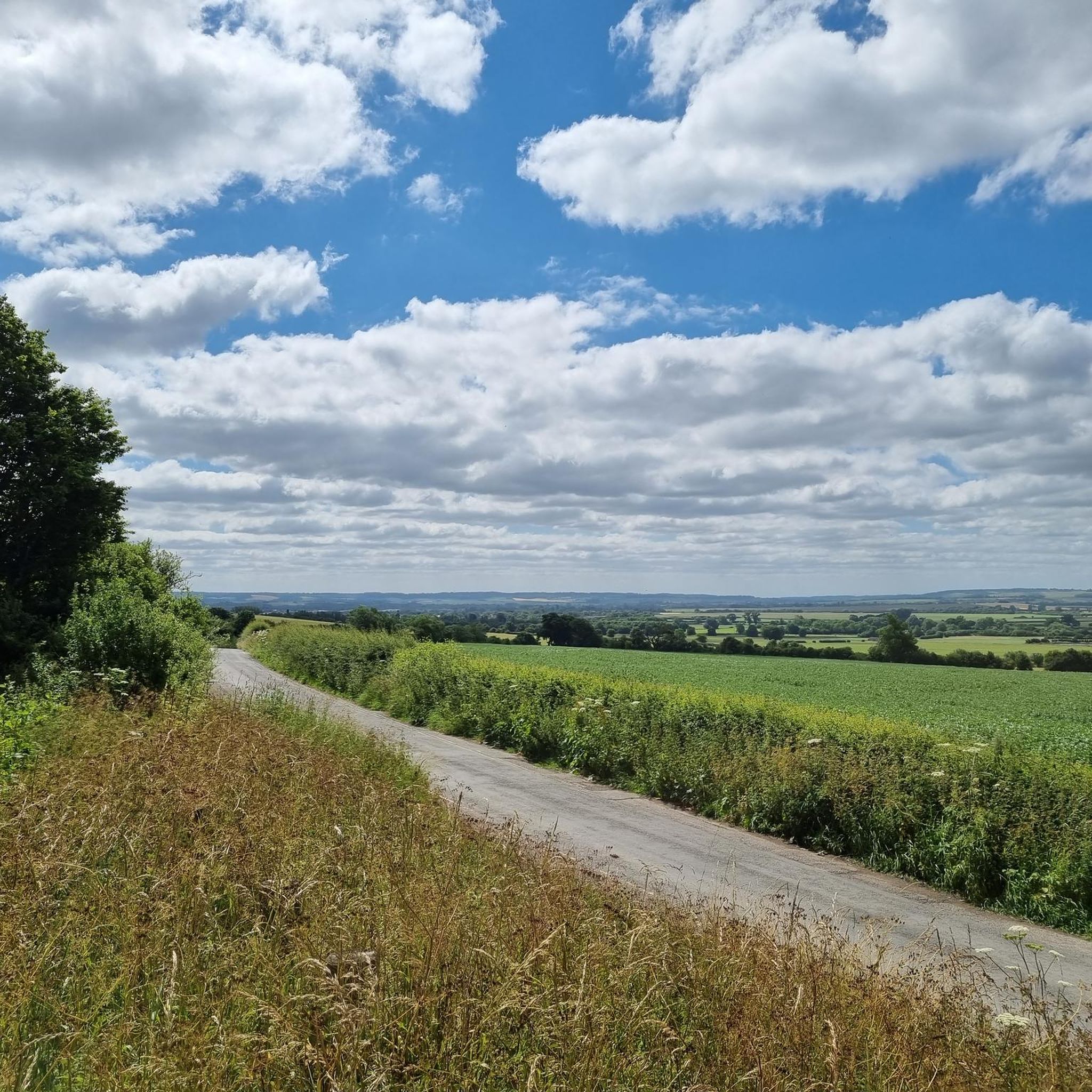
Nothing too demanding here. just amazing peaceful views.
0
0
Frequently Asked Questions
How many hiking trails are available around Brightwell-Cum-Sotwell?
There are over 540 hiking trails in the Brightwell-Cum-Sotwell area. This includes a wide variety of routes, with more than 280 easy trails, 230 moderate options, and 30 more challenging hikes, ensuring something for every ability level.
Are there easy or family-friendly walks in Brightwell-Cum-Sotwell?
Yes, the area offers many easy and family-friendly walks. A notable option is the Wittenham Clumps loop, which is 1.3 miles (2.0 km) long and takes about 35 minutes to complete, offering gentle slopes and scenic views suitable for all ages. Another easy route is the Wallingford Bridge – Wallingford Castle Meadows loop from Wallingford, which is 3.4 miles (5.4 km) and relatively flat.
What kind of circular routes can I find in the area?
Brightwell-Cum-Sotwell is well-suited for circular walks, allowing you to start and end at the same point. Popular choices include the Wittenham Clumps and Thames Path Circular, a 6.3-mile (10.2 km) route combining riverside paths with ascents to the iconic Wittenham Clumps. For a longer option, consider the Grim's Ditch and Thames Path Loop from Wallingford, which is 10.8 miles (17.4 km) and explores ancient earthworks.
What are the best times of year to go hiking in Brightwell-Cum-Sotwell?
The spring and autumn months are particularly pleasant for hiking in Brightwell-Cum-Sotwell, with milder temperatures and beautiful seasonal colours across the Oxfordshire countryside. Summer offers longer daylight hours, ideal for extended walks along the Thames, though paths can be busier. Winter walks are also possible, especially on well-maintained routes, offering crisp views of the landscape.
Are there any viewpoints or notable landmarks along the trails?
Yes, the area is rich in viewpoints and historical landmarks. The most prominent are the Wittenham Clumps, offering panoramic views of the Thames Valley. You can also explore ancient earthworks like Grim's Ditch, or visit historical sites such as Dorchester Abbey and Wallingford Bridge. Many routes also follow the scenic River Thames, providing picturesque riverside vistas.
What do other hikers say about the trails in Brightwell-Cum-Sotwell?
The hiking trails in Brightwell-Cum-Sotwell are highly regarded by the komoot community, with an average rating of 4.6 out of 5 stars from over 1200 reviews. Hikers frequently praise the diverse scenery, the well-maintained paths, and the combination of riverside walks with elevated viewpoints, particularly around the Wittenham Clumps.
Are there any trails that follow the River Thames?
Many trails in Brightwell-Cum-Sotwell incorporate sections of the River Thames Path. For example, the Wittenham Clumps and Thames Path Circular and the Grim's Ditch and Thames Path Loop from Wallingford both offer extensive stretches alongside the river, providing tranquil waterside walking experiences.
Are there any pubs or places to eat along the hiking routes?
While specific pubs are not listed for every route, the villages and towns in the Brightwell-Cum-Sotwell area, such as Wallingford and Dorchester-on-Thames, offer various pubs and cafes where hikers can stop for refreshments. Many routes are designed to pass through or near these settlements, making it easy to combine your walk with a meal or drink.
What is the typical terrain like on hikes in this region?
The terrain around Brightwell-Cum-Sotwell is varied, characterized by the rolling Oxfordshire countryside. You can expect a mix of flat riverside paths along the Thames, open fields, gentle ascents to hills like the Wittenham Clumps, and sections through ancient woodlands. Paths are generally well-defined, but can be muddy in wet weather, especially in fields and wooded areas.
Are there any trails suitable for dog walking?
Many trails in the Brightwell-Cum-Sotwell area are suitable for dogs, especially those that traverse open countryside and riverside paths. It's always recommended to keep dogs under control, particularly near livestock, and to check local signage for any specific restrictions. The varied terrain and open spaces make it a popular area for dog walkers.
Where can I find parking for hiking trails in Brightwell-Cum-Sotwell?
Parking options vary depending on the specific starting point of your hike. Many villages and popular trailheads, such as those near Wittenham Clumps or in Wallingford, offer designated car parks. Some routes may also have roadside parking available, but it's advisable to check specific route details or local council websites for the most up-to-date information on parking facilities and any associated fees.
Most popular routes around Brightwell-Cum-Sotwell
Most popular attractions around Brightwell-Cum-Sotwell

Get inspired with the komoot mobile app


Explore more
Browse the best Hikes in other regions.
