The best walks and hikes around Embalse de Gabriel y Galán
4.5
(55)
432
hikers
27
hikes
Hiking around Embalse de Gabriel y Galán offers a diverse landscape characterized by the large reservoir, surrounding hills, and areas of Mediterranean forest. The region features varied terrain, including paths along the water's edge and trails ascending to viewpoints. These routes provide opportunities to experience the natural environment of the Gabriel y Galán reservoir.
Best hiking trails around Embalse de Gabriel y Galán
- The most popular hiking route is Tapias Dam Trail from La Pesga, a 6.7 miles (10.8…
Last updated: June 24, 2026
5.0
(1)
2
hikers
10.8km
02:59
180m
180m
Hike the moderate 6.7-mile Swamp of las Tapias from La Pesga trail, exploring the scenic Las Hurdes region and its reservoir.
8.76km
03:04
500m
500m
Moderate hike. Good fitness required. Mostly accessible paths. Sure-footedness required.

Sign up for free
4.7
(12)
77
hikers
Moderate hike. Good fitness required. Easily-accessible paths. Suitable for all skill levels.
4.3
(7)
59
hikers
Easy hike. Great for any fitness level. Easily-accessible paths. Suitable for all skill levels.
18
hikers
Easy hike. Great for any fitness level. Easily-accessible paths. Suitable for all skill levels.
Get access to more routes and recommendations from other explorers.
Sign up for free
Already have an account?
Our route recommendations are based on thousands of hikes, rides, and runs completed by other people on komoot.
Start today with a free account
Your next adventure awaits.
Login or Signup
Tips from the Community

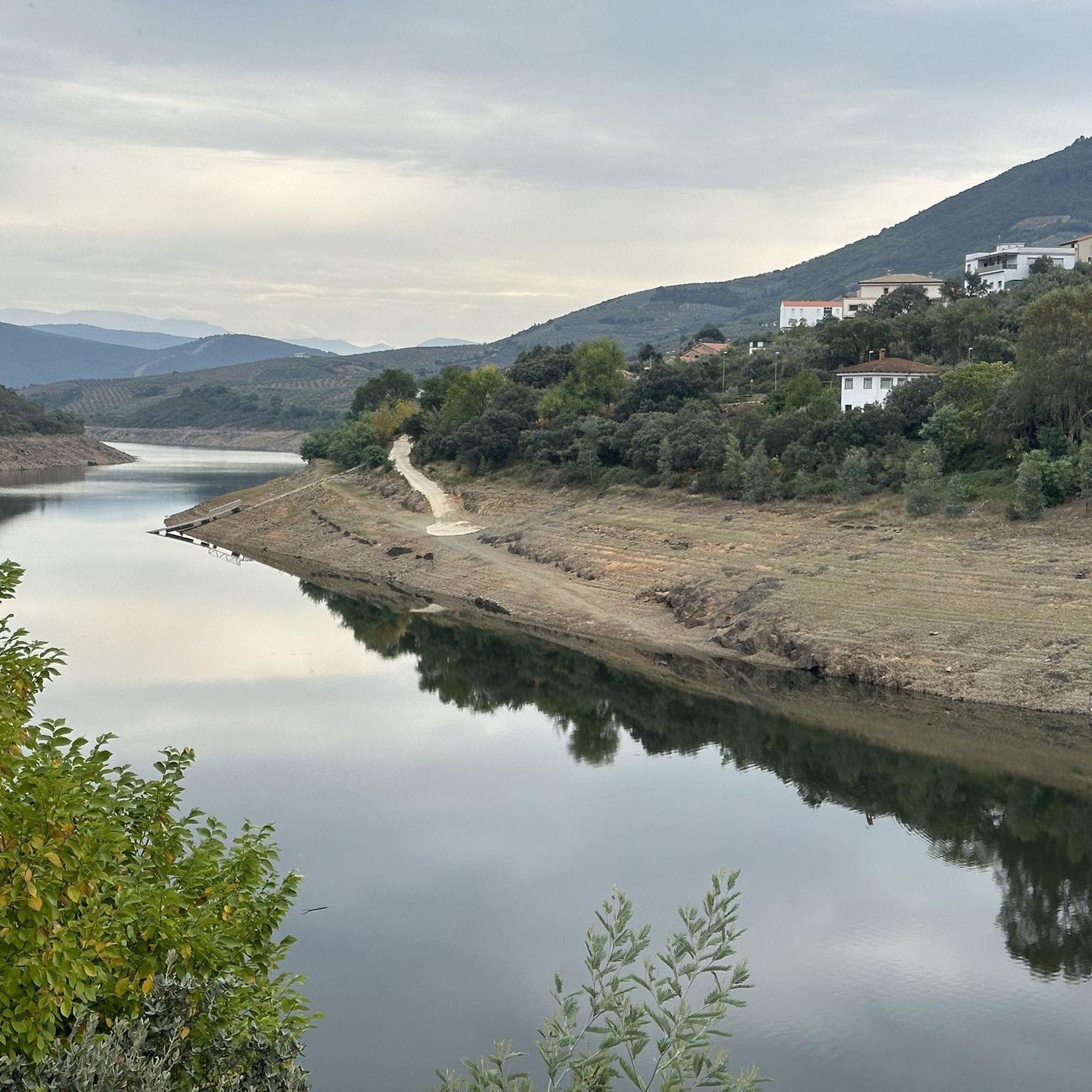
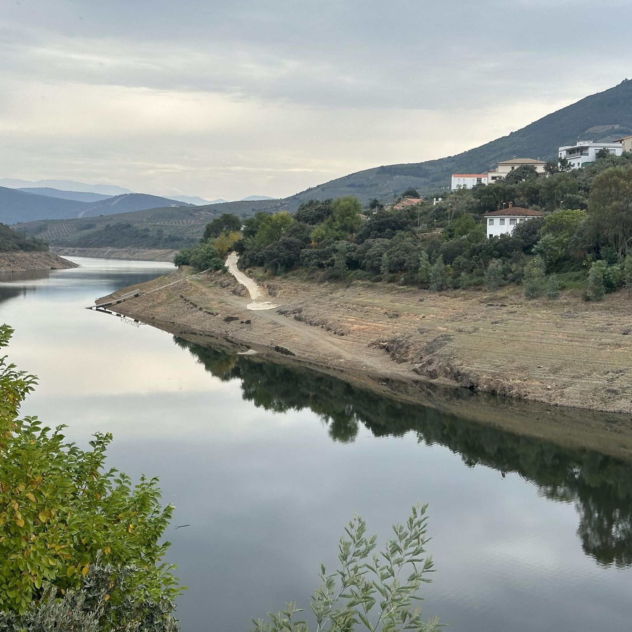
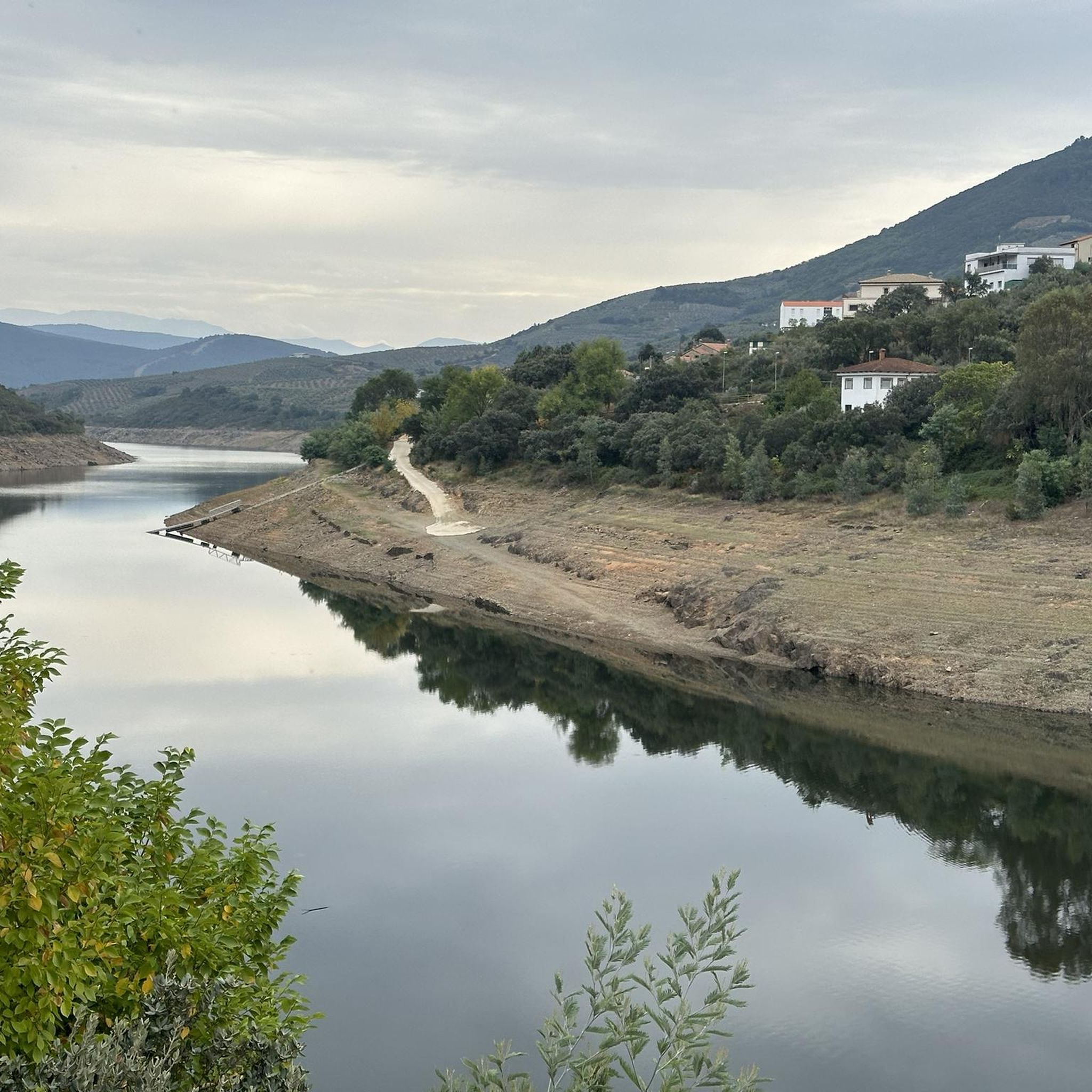
The Pantano de las Tapias is a reservoir located in Caminomorisco, in the province of Cáceres, Extremadura. This reservoir is located near the towns of El Lombo and Mesa Santa. It is an ideal place to enjoy nature and do outdoor activities such as hiking and fishing. One of the popular routes is the one that starts from La Pesga and reaches the reservoir, offering a route of approximately 10.8 km with spectacular views.
3
0
The Meandro del Melero is an impressive river formation located in the region of Las Hurdes, on the border between the provinces of Cáceres and Salamanca. This meander is created by the Alagón River, which forms a spectacular turn in its course, offering a unique panoramic view.
3
0
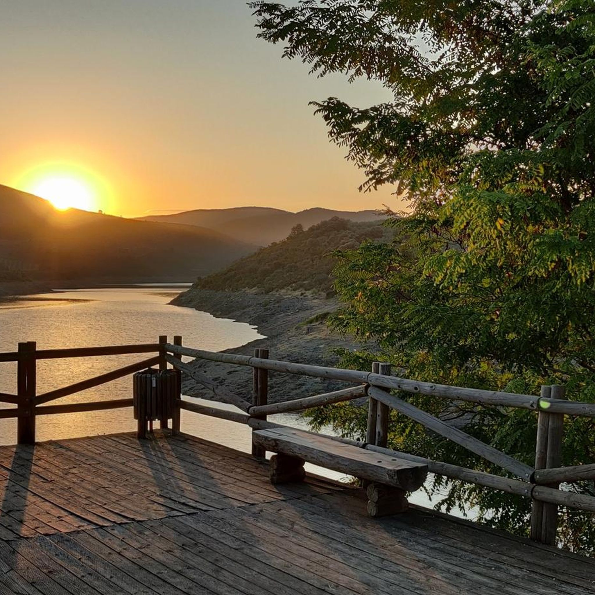
The Mirador Pico Blanco in La Pesga, Extremadura, is a spectacular place to enjoy panoramic views. Located at the highest point in the area, it offers stunning views to the north of Las Hurdes and to the south of the Gabriel y Galán reservoir, the lands of Granadilla and the abandoned town of Granadilla.
4
0

Milestone that marks 'The Mozárabe Way' between Galisteo and Riomalo below.
1
0
Long before reaching the viewpoint, we can already have impressive views. From the last parking lot to the viewpoint, there is a gentle climb along the road for almost two kilometers.
1
0
Spectacular views of the Melero Meander. You can access the same viewpoint with a wheelchair and baby strollers via a wooden ramp that zigzags down the slope.
1
0

Full of water it is spectacular, so before going I would check how the Alagón is with water.
1
0

One of the most beautiful landscapes in the provinces of Castilla y León and Extremadura (the meander of the Alagón River forms part of the border between the provinces). It is recommended to visit when there is enough water in the river. What we see is Isla de Romerosa formed by the meander of the Alagón river - a jewel of nature!
2
1
Frequently Asked Questions
How many hiking trails are there around Embalse de Gabriel y Galán?
There are over 20 hiking trails available around Embalse de Gabriel y Galán, offering a variety of experiences. These include 8 easy routes and 15 moderate routes, catering to different fitness levels.
What kind of terrain can I expect on hikes around Embalse de Gabriel y Galán?
The terrain around Embalse de Gabriel y Galán is diverse, featuring paths along the reservoir's edge, trails through Mediterranean forests, and ascents to elevated viewpoints. You'll encounter a mix of flat sections and moderate climbs, providing varied scenery.
Are there easy hiking trails suitable for beginners in Embalse de Gabriel y Galán?
Yes, there are 8 easy hiking routes around Embalse de Gabriel y Galán. An example is the Melero Meander Viewpoint – View of the Melero Meander loop from Vega Ronda, which is 3.5 km long and takes about an hour to complete, offering gentle slopes and scenic views.
Are there any circular hiking routes around Embalse de Gabriel y Galán?
Yes, several circular routes allow you to start and end in the same location. A popular option is the View of the Alagón River – Melero Meander Viewpoint loop from Piscina Natural de Riomalo, which is 7.4 km long and offers riverine landscapes and a notable viewpoint.
Can I hike with my dog around Embalse de Gabriel y Galán?
Generally, dogs are welcome on most hiking trails around Embalse de Gabriel y Galán. However, it's always advisable to keep your dog on a leash, especially in areas with wildlife or near livestock, and to check for any specific local regulations or protected areas that might have restrictions.
Are the trails around Embalse de Gabriel y Galán suitable for families with children?
Many trails around Embalse de Gabriel y Galán are suitable for families, particularly the easier and shorter routes. These often feature relatively flat terrain and beautiful views of the reservoir. Consider routes that are well-maintained and have clear paths for a pleasant family outing.
What is the best time of year to go hiking in Embalse de Gabriel y Galán?
The best time to hike around Embalse de Gabriel y Galán is typically during spring (April to June) and autumn (September to November). During these seasons, the weather is milder, and the natural scenery is particularly vibrant. Summers can be very hot, while winters are generally mild but can be wet.
Is there parking available at the trailheads around Embalse de Gabriel y Galán?
Yes, parking is generally available at or near the main trailheads and villages surrounding Embalse de Gabriel y Galán. For specific routes, it's recommended to check the route details on komoot for information on designated parking areas.
Are there any cafes or places to eat near the hiking trails?
The villages surrounding Embalse de Gabriel y Galán, such as La Pesga and Riomalo de Abajo, offer local cafes and restaurants where you can find refreshments and traditional meals. These are often conveniently located near popular starting points for hikes.
What are some notable viewpoints or attractions to see while hiking?
The region is known for its stunning panoramic views. The Viewpoint of Pico Blanco from La Pesga offers expansive vistas of the landscape. Another highlight is the Melero Meander Viewpoint, providing a unique perspective of the Alagón River's winding course.
Are there opportunities for wild swimming near the hiking trails?
Embalse de Gabriel y Galán itself is a large reservoir, and while some areas might be suitable for swimming, it's important to be aware of local regulations and safety. Natural pools and designated swimming areas can often be found in nearby rivers or streams, particularly during warmer months. Always check local signage and conditions.
What do other hikers enjoy the most about hiking in Embalse de Gabriel y Galán?
The area is highly rated by the komoot community, with an average score of 4.7 stars. Reviewers often praise the diverse scenery, from the tranquil reservoir shores to the elevated viewpoints offering breathtaking panoramas. The variety of trails suitable for different abilities is also frequently highlighted.
Most popular routes around Embalse de Gabriel y Galán

Get inspired with the komoot mobile app


Explore more
Browse the best Hikes in other regions.
