The best cycling routes around Mullantur
5.0
(4)
147
riders
21
rides
Touring cycling routes around Mullantur traverse a landscape characterized by picturesque countryside views and rolling terrain. The region features historic villages and offers access to dedicated cycling infrastructure. While specific details for Mullantur are limited, the broader area provides varied routes suitable for touring cyclists, often passing through agricultural land and along waterways. The terrain generally consists of gentle inclines and descents, with some routes offering more challenging climbs.
Best touring cycling routes around Mullantur
- The most popular touring cycling…
Last updated: November 10, 2026
76.8km
04:55
790m
790m
Hard bike ride. Very good fitness required. Mostly paved surfaces.
57.1km
03:36
620m
620m
Hard bike ride. Very good fitness required. Mostly paved surfaces.

5.0
(1)
6
riders
35.5km
02:19
330m
330m
Moderate bike ride. Good fitness required. Mostly paved surfaces.
5
riders
89.1km
05:24
720m
720m
Hard bike ride. Very good fitness required. Mostly paved surfaces.
3
riders
28.4km
01:42
190m
190m
Moderate bike ride. Good fitness required. Mostly paved surfaces.
Get access to more routes and recommendations from other explorers.
Already have an account?
Our route recommendations are based on thousands of hikes, rides, and runs completed by other people on komoot.
Start today with a free account
Your next adventure awaits.
Popular around Mullantur



Tips from the Community


This largely flat and completely traffic-free path winds through the heart of counties Armagh and Down, along the tranquil waterway that was once the lifeblood for the transport of coal to the Irish Sea. As you pedal over the well-maintained asphalt or fine gravel, you are surrounded by lush green ramparts, historic stone bridges, and the monumental remains of eighteen locks that bridge the elevation difference in the landscape. A mix of smooth asphalt and easily rideable fine gravel, suitable for almost all types of bicycles.
7
0
Lock complex on the old Newry Canal, just south of Scarva. The stone lock walls, the narrow canal profile, and the quiet, green surroundings make this a characteristic point along the towpath. The water often stands still here, reflecting the trees along the bank, while the old lock structure is still clearly recognizable. An atmospheric, historic moment on an otherwise very relaxing canal route.
7
0
Quiet canal section south of Poyntzpass, where the towpath runs tightly along the narrow water. The bank is lightly overgrown with low trees and hedges, giving the stretch an intimate, green impression. The water is mostly still, forming a straight line through the open agricultural landscape. An even, traffic-free segment ideal for quiet miles on the towpath.
5
0
The Newry Canal Towpath is a 32-kilometer-long, almost entirely traffic-free green corridor connecting the towns of Portadown and Newry. It follows the towpath of the oldest canal in the British Isles, opened in 1742 to transport coal from County Tyrone to the sea. The Newry Canal Towpath offers an unparalleled cycling experience through the tranquil heart of County Armagh and County Down. This historic route, part of the National Cycle Network Route 9, takes you along a flat and largely asphalted path past fourteen monumental locks and characteristic lock-keeper's cottages. As you follow the waterway, you'll traverse a varied landscape of dense forests and open meadows, passing through welcoming villages like Scarva and Poyntzpass along the way. The path is a haven for wildlife; keep an eye out for kingfishers, swans, and otters that inhabit the reed beds. Whether you cycle the full 32 kilometers or explore just a section, the combination of industrial history and natural beauty makes this one of the absolute gems of Irish cycling routes.
5
0

Nice little cafe in the village of Scarva right alongside the Newry canal towpath, great for brekkie, lunch or just topping up the hydration.
1
0
Frequently Asked Questions
How many touring cycling routes are available around Mullantur?
There are over 20 touring cycling routes around Mullantur, offering a variety of options for different skill levels. These include 5 easy routes, 8 moderate routes, and 9 difficult routes.
What kind of terrain can I expect on touring cycling routes in Mullantur?
The terrain around Mullantur is characterized by picturesque countryside views and rolling landscapes. You'll find a mix of gentle inclines and descents, with some routes offering more challenging climbs, especially on the longer tours. Many routes pass through agricultural land and along waterways, providing varied scenery.
Are there any easy or family-friendly touring cycling routes in Mullantur?
Yes, Mullantur offers several easy routes suitable for families or those seeking a relaxed ride. A great option is the Newry Canal Path – Newry Canal Towpath loop from Scarva, an 8.9-mile (14.3 km) trail that follows a historic waterway with minimal elevation gain.
What are some challenging touring cycling routes for experienced cyclists?
For experienced cyclists looking for a challenge, Mullantur has several difficult routes. Consider the Scarva to Castlewellan Forest Park loop, a 47.7-mile (76.8 km) route with significant elevation, or the Scarva to Newry loop, which covers 35.5 miles (57.1 km) through varied countryside.
What are the best times of year to go touring cycling in Mullantur?
The region is particularly beautiful when the gorse is in bloom, offering a rich, coconutty scent along the routes. Spring and summer generally provide pleasant conditions for cycling, allowing you to fully enjoy the picturesque countryside views.
Are there any circular touring cycling routes around Mullantur?
Yes, many of the routes around Mullantur are designed as loops, allowing you to start and finish at the same point. Examples include the Newry Canal Path – Newry Canal Towpath loop from Scarva and the Gosford Castle – Gosford Castle loop from Tandragee.
What landmarks or natural features can I see along the touring cycling routes?
The routes often pass by interesting landmarks and natural features. You can explore the historic Newry Canal Towpath, visit Scarva Village, or see the impressive Gosford Castle. The broader region also features the scenic Sperrin Mountains and spots like Lover's Retreat, known for its weeping willow and nesting herons.
Are there places to stop for refreshments or coffee along the routes?
Yes, the area is cyclist-friendly. A notable stop is Lover's Retreat, which often features a coffee van, making it a popular spot for cyclists to take a break. The historic village of Newtownstewart, nestled in the Sperrin Mountains, also offers amenities.
What do other touring cyclists say about the routes in Mullantur?
The touring cycling routes around Mullantur are highly rated by the komoot community, with an average score of 5.0 stars. Cyclists often praise the picturesque countryside, the variety of routes for different abilities, and the dedicated cycling paths.
Can I access these touring cycling routes using public transport?
While specific public transport links directly to every trailhead may vary, the region is part of the North West Trail, which connects various towns and villages. For routes starting in places like Scarva or Newry, it's advisable to check local bus or train services for connections to these starting points.
Are there any long-distance touring cycling routes in the Mullantur area?
Yes, the broader region around Mullantur is part of the North West Trail, a comprehensive cycling route spanning multiple counties. This provides opportunities for longer-distance touring, connecting areas like north Omagh with Newtownstewart and offering an alternative to busier roads.
What is the longest touring cycling route available?
One of the longest routes in the area is the Lackan Road – View of Castlewellan Castle loop from Scarva, which spans approximately 88.0 km (54.7 miles) and offers a challenging ride with significant elevation changes.
Most popular routes around Mullantur
Most popular attractions around Mullantur
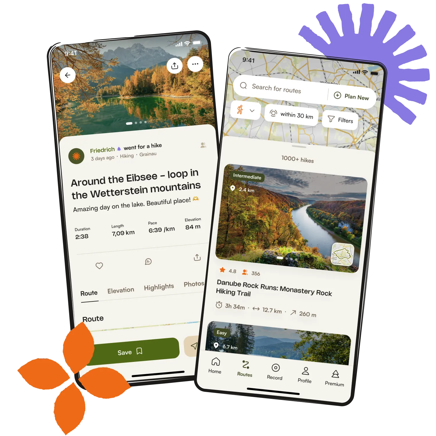
Get inspired with the komoot mobile app


Explore more
Browse the best Cycling routes in other regions.