The best road cycling routes around Embalse de la Cuerda del Pozo
5.0
(6)
903
riders
40
rides
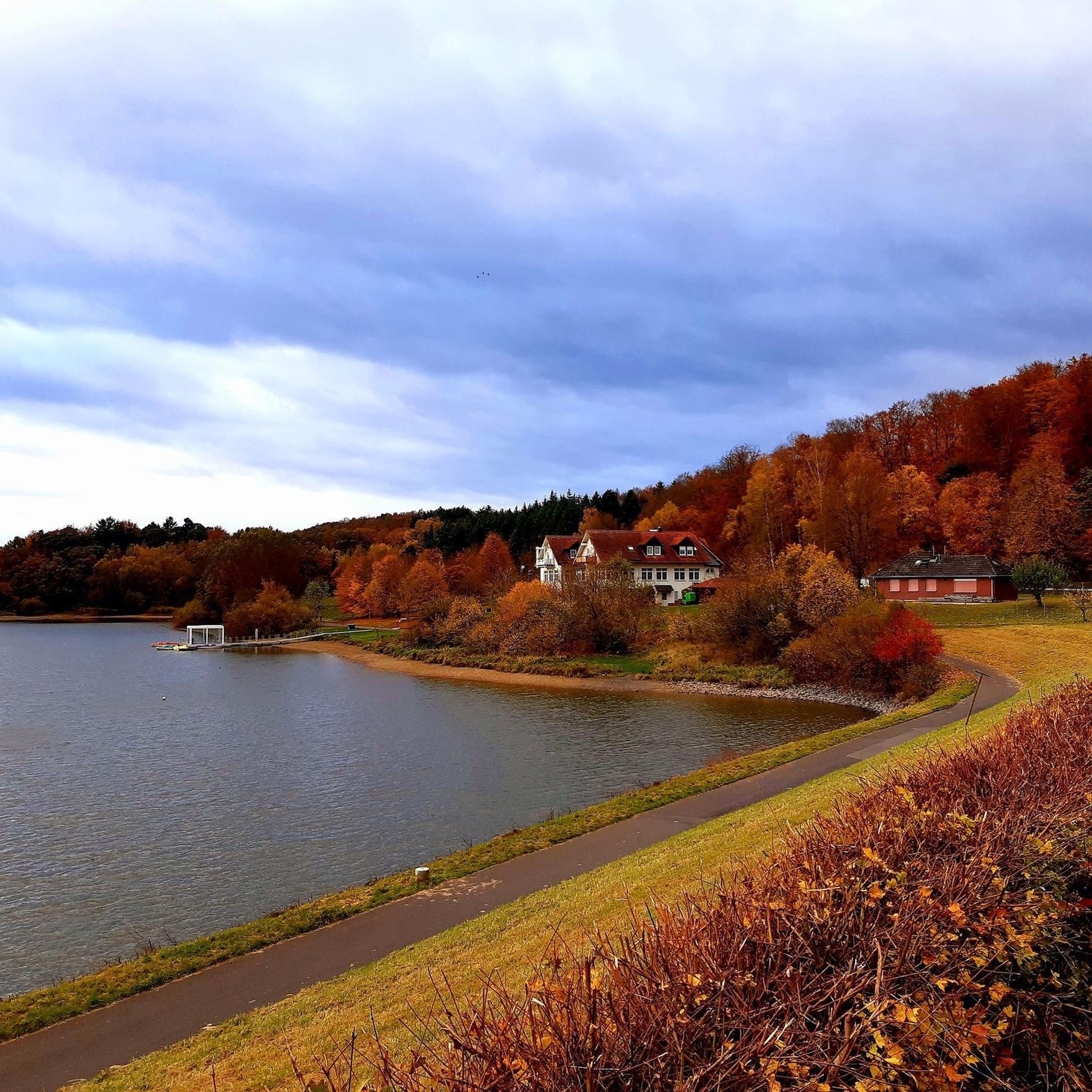
Road cycling around Embalse de la Cuerda del Pozo offers varied terrain suitable for different skill levels. The region is characterized by extensive pine and oak forests, rolling hills, and the expansive reservoir itself, situated at the foothills of the Urbión peaks. Cyclists can expect scenic views of the reservoir and its natural setting, with routes often traversing well-maintained roads. The area provides a fresh, natural environment for road cycling, with the Duero River's headwaters contributing to the aquatic landscape.
…Last updated: July 12, 2026
41
riders
Hard road ride. Very good fitness required. Mostly well-paved surfaces and easy to ride.
35
riders
110km
05:17
1,160m
1,160m
Hard road ride. Very good fitness required. Mostly well-paved surfaces and easy to ride.

Sign up for free
8
riders
47.5km
02:03
380m
380m
Moderate road ride. Good fitness required. Mostly well-paved surfaces and easy to ride.
3
riders
77.9km
03:41
980m
980m
Hard road ride. Very good fitness required. Some segments of this route may be unpaved and difficult to ride.
5.0
(1)
181
riders
122km
06:14
2,100m
2,100m
Hard road ride. Very good fitness required. Mostly well-paved surfaces and easy to ride.
Get access to more routes and recommendations from other explorers.
Sign up for free
Already have an account?
Our route recommendations are based on thousands of hikes, rides, and runs completed by other people on komoot.
Start today with a free account
Your next adventure awaits.
Login or Signup
Tips from the Community

A recommended area for walking.
0
0

Stations have no roof or are locked. No campspot
0
0

This is a beautiful climb that takes you to the top of the Black Lagoon of Urbión. It's 16 kilometers long, gaining 637 meters. It starts off gently, then begins to incline halfway through, with sections at 6 and 7%, before reaching the steepest slopes of up to 13% at the very end.
0
0


Beautiful views, the lagoon only has water in the rainy season
0
0

Located next to the Remoncillo River, its original function was to wash wool from sheep shearing at the time of the Mesta Council (Middle Ages). Free access. --------- Located next to the Remoncillo River, its original function was to wash wool from sheep shearing at the time of the Mesta Council (Middle Ages). Free access.
0
0

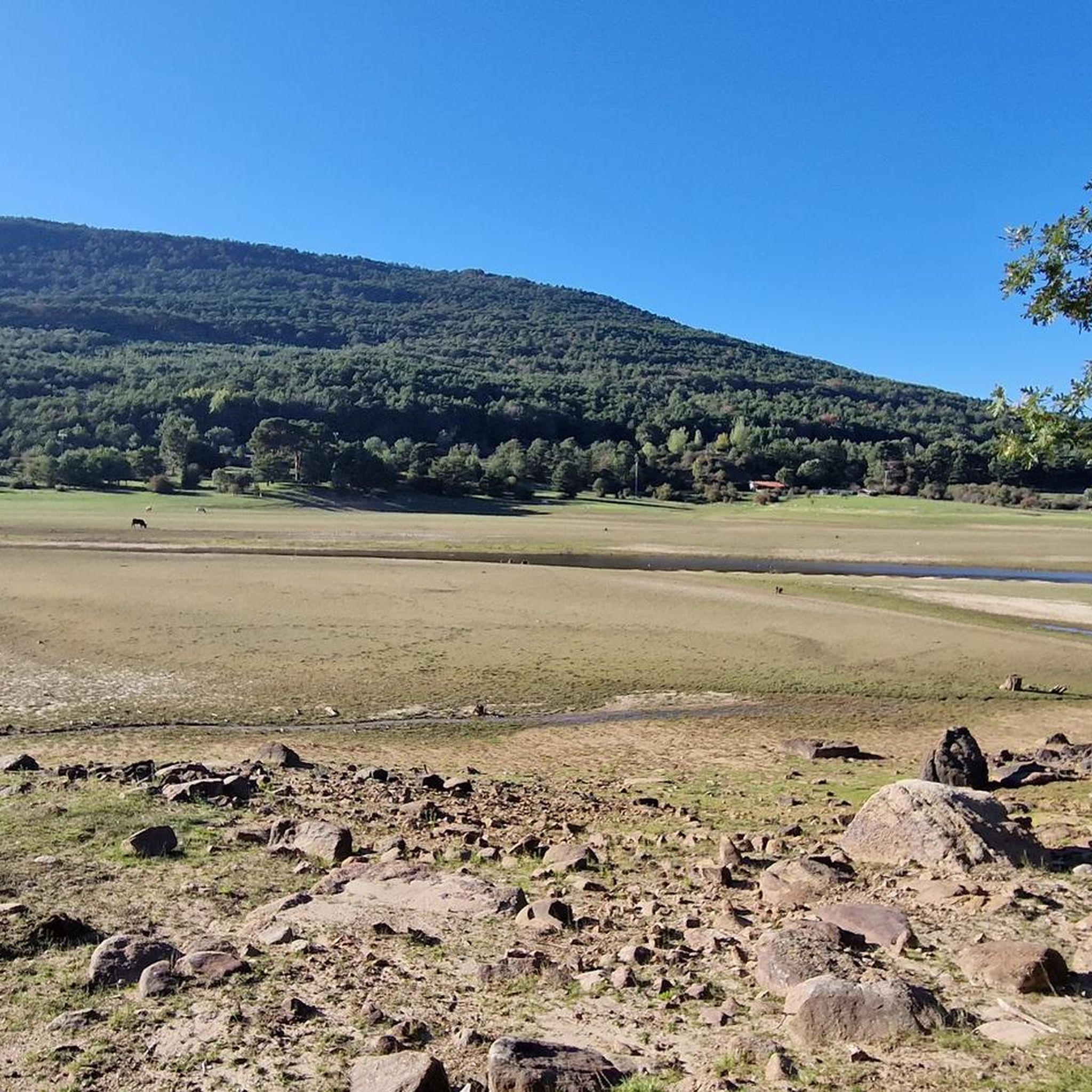
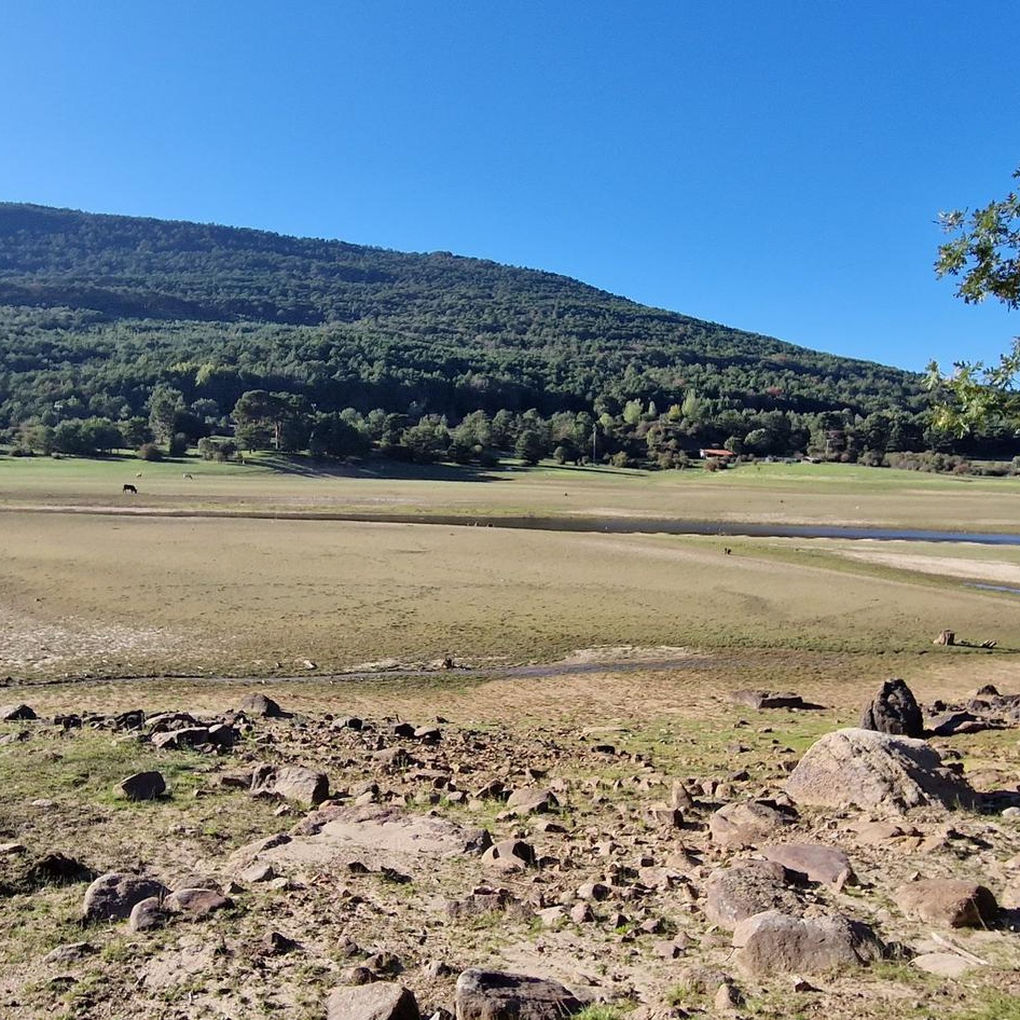
Beautiful views of the Cuerda del Pozo reservoir from Playa Pita, where we will find a parking lot and a recreational area with various services, where we can take a bath and eat.
0
1
Frequently Asked Questions
How many road cycling routes are available around Embalse de la Cuerda del Pozo?
There are over 35 road cycling routes around Embalse de la Cuerda del Pozo, offering a variety of options for different skill levels. This includes 5 easy routes, 15 moderate routes, and 18 difficult routes.
What kind of terrain can I expect when road cycling around Embalse de la Cuerda del Pozo?
The region offers varied terrain, from rolling hills to more challenging climbs. You'll cycle through extensive pine and oak forests, with scenic views of the reservoir and the surrounding Urbión peaks. Roads are generally well-maintained, providing a fresh, natural environment for your ride.
Are there road cycling routes suitable for beginners?
Yes, there are several routes suitable for beginners. You can find 5 easy road cycling routes in the area. These typically feature less elevation gain and shorter distances, allowing for a more relaxed experience.
Are there challenging road cycling routes for experienced cyclists?
Absolutely. For experienced cyclists seeking a challenge, there are 18 difficult routes. An example is the Puerto de Santa Inés y Puerto de Piqueras — circular por el Parque Natural de Sierra Cebollera, which covers over 113 km with significant elevation gain through the Sierra Cebollera Natural Park.
Can I find circular road cycling routes around the reservoir?
Yes, circular routes are a popular option. A notable moderate route is the Cuerda del Pozo Reservoir – Molinos de Duero loop from Restaurante Urbión, which is about 47.5 km long and offers continuous views of the reservoir.
What natural features can I see while cycling around Embalse de la Cuerda del Pozo?
You'll be surrounded by lush pine and oak forests and enjoy spectacular mountain views as the reservoir is nestled at the foothills of the Urbión peaks. The Duero River's headwaters contribute to the expansive aquatic environment, offering many unique spots along its 65 kilometers of coastline.
Are there any historical landmarks to discover on a road cycling tour?
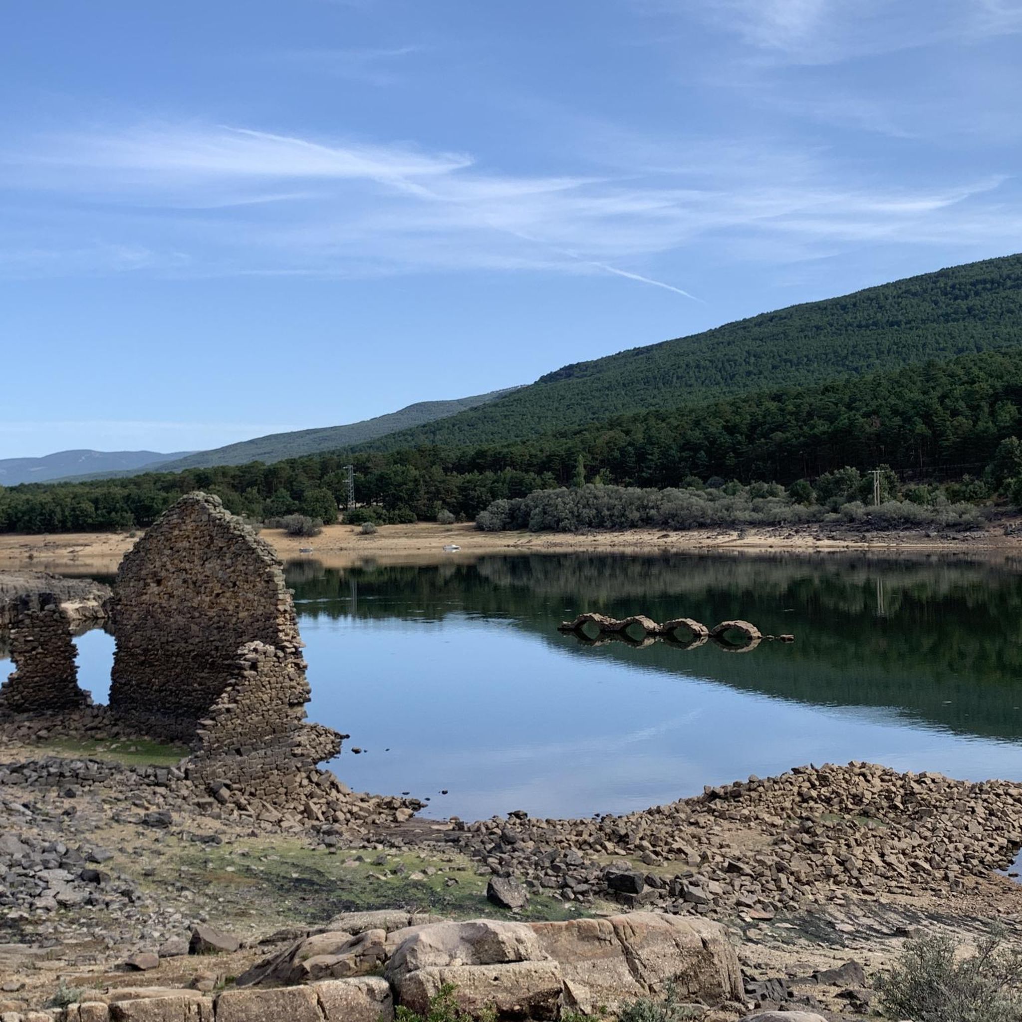
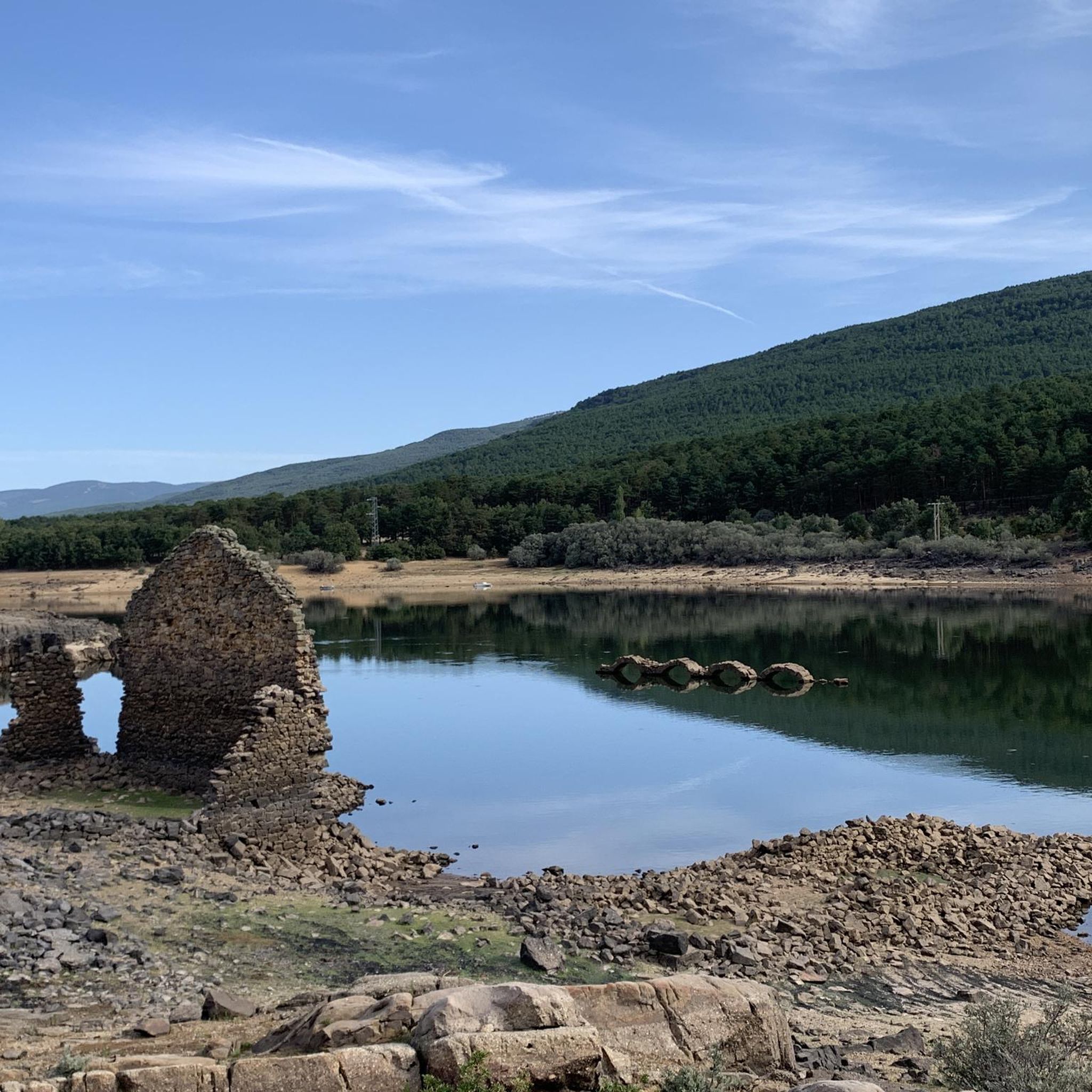
Yes, a poignant historical feature is the partially submerged bell tower of the old church of La Muedra. This village was flooded during the reservoir's construction in 1941, and its visible bell tower serves as a fascinating reminder of the past and an indicator of the water level.
Where can I stop for a break or to enjoy the views during my ride?
Playa Pita, often called Soria's 'freshwater beach,' is an excellent spot for a break. It offers clear waters, amenities like a bar-restaurant, and is ideal for relaxation. You can find more details about it here: Playa Pita. Many routes also feature natural viewpoints overlooking the reservoir and mountains.
Is there parking available for road cyclists?
Yes, parking is generally available in the towns and villages surrounding the reservoir, such as Molinos de Duero and Vinuesa, which serve as common starting points for many routes. Specific parking areas are often indicated on komoot route maps.
Are there places to eat or stay near the cycling routes?
Yes, towns like Molinos de Duero and Vinuesa, which are frequently part of or near cycling routes, offer various options for cafes, restaurants, and accommodation. Playa Pita also has a bar-restaurant for refreshments.
What do other road cyclists appreciate about the routes in Embalse de la Cuerda del Pozo?
The area is highly rated by the komoot community, with an average score of 5.0 stars from over 5 reviews. Cyclists often praise the stunning natural backdrops, the variety of terrain for different skill levels, and the well-maintained roads that make for an engaging cycling experience.
What is the best time of year for road cycling in this region?
The region is generally pleasant for road cycling from spring through autumn. The extensive pine forests provide a fresh environment, and the weather is typically favorable. Summer offers warm conditions, while spring and autumn provide cooler temperatures and vibrant scenery.
Most popular routes around Embalse de la Cuerda del Pozo
Most popular attractions around Embalse de la Cuerda del Pozo

Get inspired with the komoot mobile app


Explore more
Browse the best Road cycling routes in other regions.
