The best walks and hikes around Embalse de Camporredondo
4.6
(64)
908
hikers
33
hikes
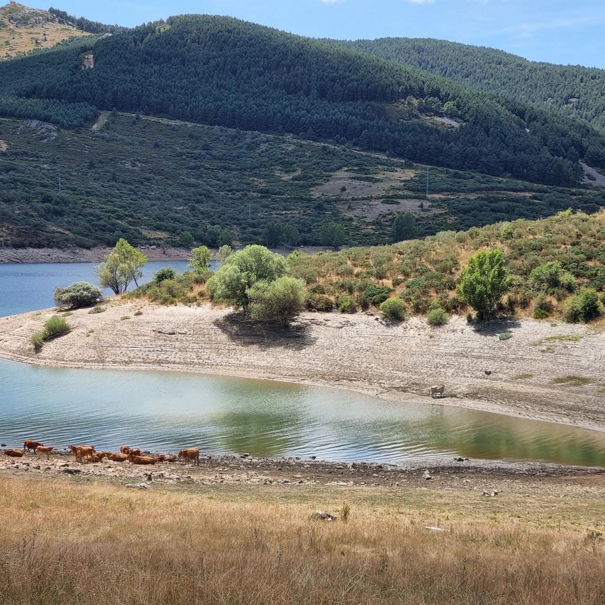
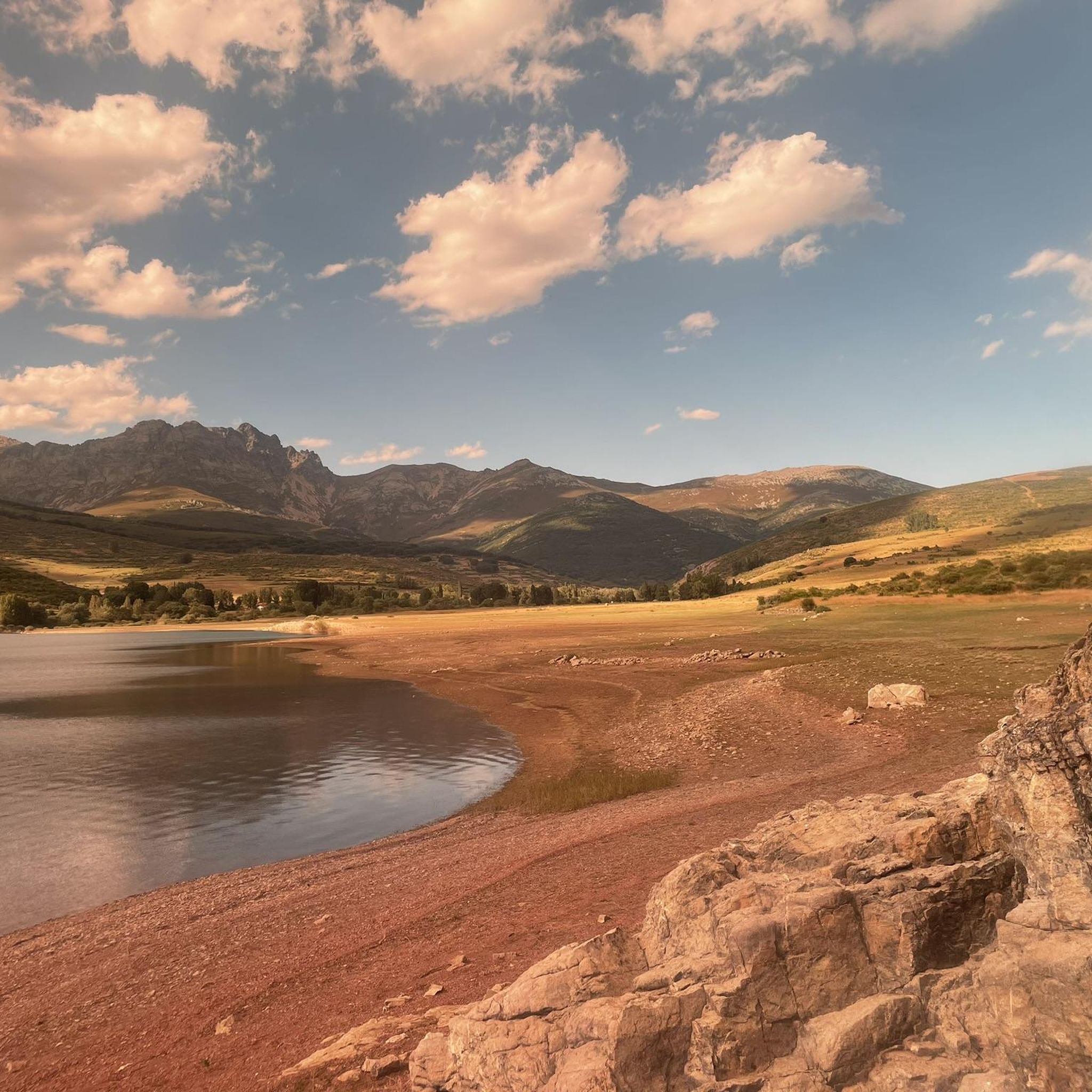
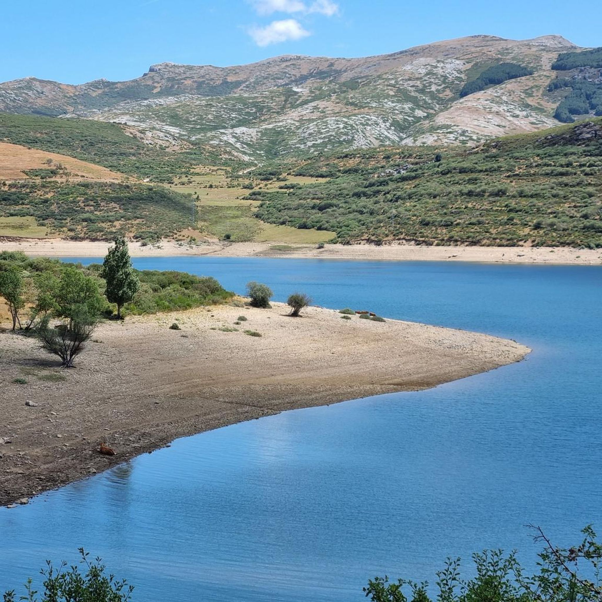
Hiking around Embalse de Camporredondo offers trails through mountainous terrain and dense forests within the Palentina Mountain range. This region is part of the Fuentes Carrionas and Fuente Cobre - Palencia Mountain Range Nature Park, providing a protected natural environment. The landscape features the reservoir itself, fed by the Carrión River, and is characterized by diverse oak and beech forests, as well as varied rock formations. The area provides a range of hiking experiences, from lakeside paths to routes ascending…
Last updated: July 1, 2026
5.0
(3)
25
hikers
11.7km
03:38
380m
380m
Moderate hike. Good fitness required. Mostly accessible paths. Sure-footedness required.
5.0
(1)
5
hikers
12.2km
03:39
410m
410m
Moderate hike. Good fitness required. Easily-accessible paths. Suitable for all skill levels.

Sign up for free
2
hikers
8.67km
02:29
200m
200m
Moderate hike. Good fitness required. Easily-accessible paths. Suitable for all skill levels.
1
hikers
5.82km
01:37
100m
100m
Easy hike. Great for any fitness level. Easily-accessible paths. Suitable for all skill levels.
2
hikers
5.76km
01:43
180m
180m
Easy hike. Great for any fitness level. Easily-accessible paths. Suitable for all skill levels.
Get access to more routes and recommendations from other explorers.
Sign up for free
Already have an account?
Our route recommendations are based on thousands of hikes, rides, and runs completed by other people on komoot.
Start today with a free account
Your next adventure awaits.
Login or Signup
Tips from the Community

The Mazobre Waterfall, located in the Palentina Mountains within the Fuentes Carrionas and Fuente Cobre Natural Park, is one of the most spectacular spots in the province of Palencia. It is located near Cardaño de Arriba, in the municipality of Velilla del Río Carrión.
1
0

A beautiful waterfall that can be reached after a short and relatively easy hike. The cool water is wonderfully refreshing after a walk in the sun.
1
0
This wonderful beach is a slice of paradise. Wonderfully quiet and secluded, it's a spellbinding place for wild swimming, sunbathing and hiking. The water is so clear and fresh. I saw vultures up close here many times too. An amazing spot, I could've stayed here forever!
1
0

Charming little town. Good place to spend the night and eat well.
0
0

This is the perfect place to see the highest waterfall in the Palentina Mountain and the Palencia Natural Park. If you continue along the trail there is another small trail that takes you to the base of the falls. It's worth going off the trail just to check it out.
0
0
It is a small and charming mountain town with less than 30 inhabitants. It has a bar, church and hostel. What more could you want?
0
0
It is a very beautiful trail that goes from the Pinollano parking lot to La Cascada del Mazobre. It is a popular hike and not too difficult for biking.
0
0
A nice section of trail with great views. Fun on a mountain bike, but also rideable on a gravel or touring bike.
0
0
Frequently Asked Questions
How many hiking trails are available around Embalse de Camporredondo?
There are over 25 hiking trails in the Embalse de Camporredondo area, catering to various skill levels. You'll find a mix of easy, moderate, and challenging routes, with 4 easy, 10 moderate, and 14 difficult trails to explore.
Are there any easy, family-friendly hiking routes near Embalse de Camporredondo?
Yes, the area offers several easy routes suitable for families. A good option is the Triollo Village loop from Triollo, which is a 3.6-mile (5.8 km) path. The region research also mentions a simple, family-friendly walk of just over six kilometers along the reservoir's shores.
What kind of landscapes can I expect to see while hiking around Embalse de Camporredondo?
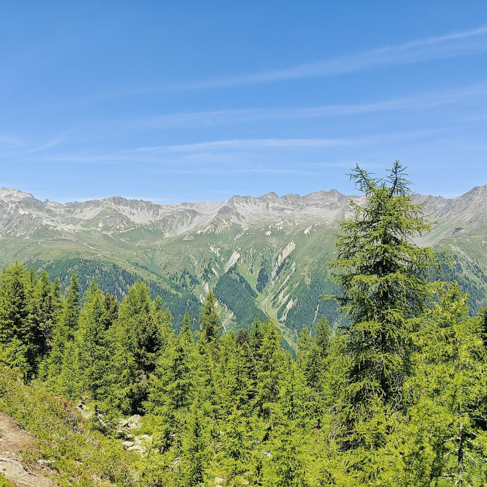
Hikers can expect diverse and stunning landscapes. The trails wind through mountainous terrain and dense forests, including oak and beech. You'll encounter the beautiful Embalse de Camporredondo reservoir itself, fed by the Carrión River, and enjoy views of the wider Palentina Mountain range, which is part of the Fuentes Carrionas Natural Park.
Are there any circular hiking routes in the area?
Yes, many routes are designed as loops. For example, the Valsurbio from Camporredondo de Alba — circular by the Arroyo de la Cárcava is a moderate 10.4 km circular trail. Another option is the Triollo Village – Peñas Abigeras loop from Triollo, a 5.4-mile (8.7 km) moderate loop.
What is the best time of year to go hiking in Embalse de Camporredondo?
The area is beautiful throughout much of the year. While specific 'best' times aren't detailed, the region's natural beauty, including its forests and wildlife, suggests spring and autumn are particularly pleasant. Autumn is also a prime time for observing the 'berrea' or rutting of deer.
Can I observe wildlife on the hiking trails?
Absolutely. The natural environment around Embalse de Camporredondo is rich in wildlife. It's an ideal spot for bird watching, and in autumn, you can observe the 'berrea' of deer. The Fuentes Carrionas Natural Park is also home to emblematic species such as the brown bear, Iberian wolf, otter, and golden eagle, though sightings of these larger animals are rarer.
Are there challenging mountain trails for experienced hikers?
Yes, the Palentina Mountain range offers dramatic scenery and challenging routes. There are 14 difficult trails listed in the area. High peaks like Curavacas (2,525 m), Espigüete (2,450 m), and Las Lomas (2,451 m) provide demanding ascents for experienced hikers seeking a greater challenge.
What do other hikers say about the trails around Embalse de Camporredondo?
The routes in Embalse de Camporredondo are highly rated by the komoot community, with an average score of 4.7 stars from over 50 reviews. Hikers often praise the varied terrain, from lakeside paths to mountain ascents, and the stunning natural beauty of the protected park.
Is there parking available near the trailheads?
While specific parking locations aren't detailed, villages like Cardaño de Arriba and Cardaño de Abajo near the reservoir serve as popular starting points for excursions into the Fuentes Carrionas nature park, suggesting parking facilities would be available in or near these villages for trail access.
Are there any routes that offer panoramic views of the Montaña Palentina?
Yes, for panoramic views, consider the View of the Montaña Palentina loop from Triollo. This easy 3.6-mile (5.8 km) route leads through varied terrain and provides excellent vistas of the surrounding Montaña Palentina.
Can I hike with my dog around Embalse de Camporredondo?
The Fuentes Carrionas Natural Park, which encompasses Embalse de Camporredondo, is a protected natural area. While many trails in natural parks allow dogs, it's always recommended to keep them on a leash to protect local wildlife and ensure their safety. Check local regulations for specific trails before you go.
Most popular routes around Embalse de Camporredondo

Get inspired with the komoot mobile app


Explore more
Browse the best Hikes in other regions.
