The best walks and hikes around Embalse de Quéntar
4.4
(841)
4,345
hikers
131
hikes
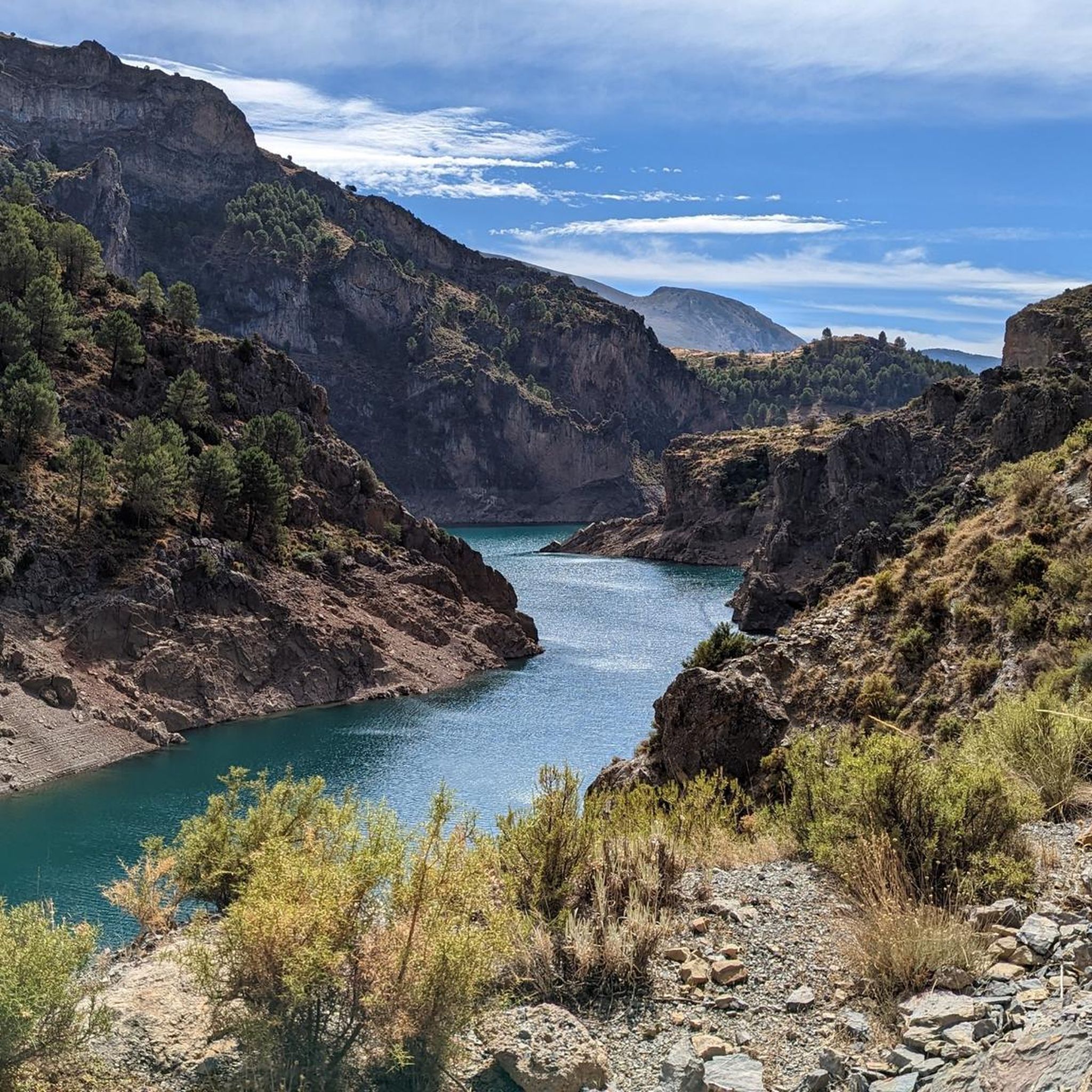
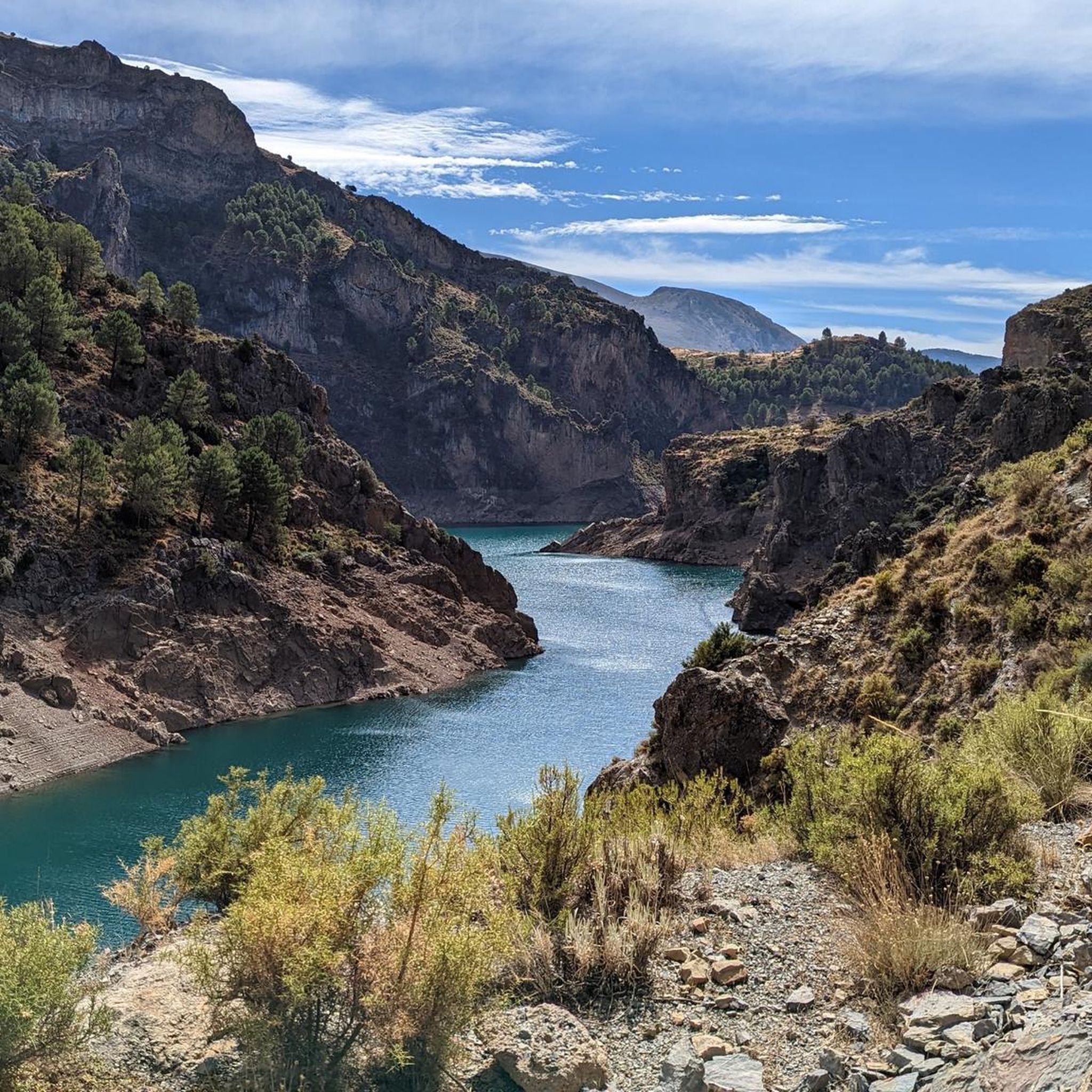
Hiking around Embalse de Quéntar offers diverse landscapes centered around the reservoir, formed by the Quéntar Dam. The region features mountainous terrain, providing panoramic views of the valley, the reservoir, and the Sierra de Huétor and Sierra Nevada mountains. Trails wind through varied natural settings, including almond and olive groves, with the Aguas Blancas River feeding into the reservoir. This area provides a range of hiking experiences amidst its natural features.
Best hiking trails around Embalse de Quéntar
- The most…
Last updated: October 7, 2026
13
hikers
14.4km
04:28
460m
460m
Moderate hike. Good fitness required. Mostly accessible paths. Sure-footedness required.
4.8
(4)
14
hikers
Moderate hike. Good fitness required. Mostly accessible paths. Sure-footedness required.

4.7
(3)
12
hikers
Moderate hike. Good fitness required. Easily-accessible paths. Suitable for all skill levels.
4.5
(2)
7
hikers
Moderate hike. Good fitness required. Easily-accessible paths. Suitable for all skill levels.
5.0
(2)
7
hikers
Hard hike. Good fitness required. Sure-footedness, sturdy shoes and alpine experience required.
Get access to more routes and recommendations from other explorers.
Already have an account?
Our route recommendations are based on thousands of hikes, rides, and runs completed by other people on komoot.
Start today with a free account
Your next adventure awaits.

Tips from the Community

In sunny weather in mid-April it is already pleasantly warm and the snow-covered backdrop of the Sierra Nevada is breathtaking
0
0

I did this route in the summer and there were a lot of mosquitoes.
0
0

It was a lovely walk! Be careful, our walk connected to another one without us realizing it, but luckily we saw it in time so we could turn around and continue using Google Maps! Otherwise, we would have been in the dark 😱 I think we still need to get better at using the app; it's not always easy!
0
0

You can hear several herds of cattle with bells in the distance.
0
0

Nice moderate walk from Güejar Sierra and back. You probably would save about 15 min and 1km if you don't get lost couple of times as i did😅. Recommend to get there early before that jest. Part of the walk is shaded and part under open sun. Pay attention on the top of Certo de Castillejo and Pico de La Lastra.
1
0

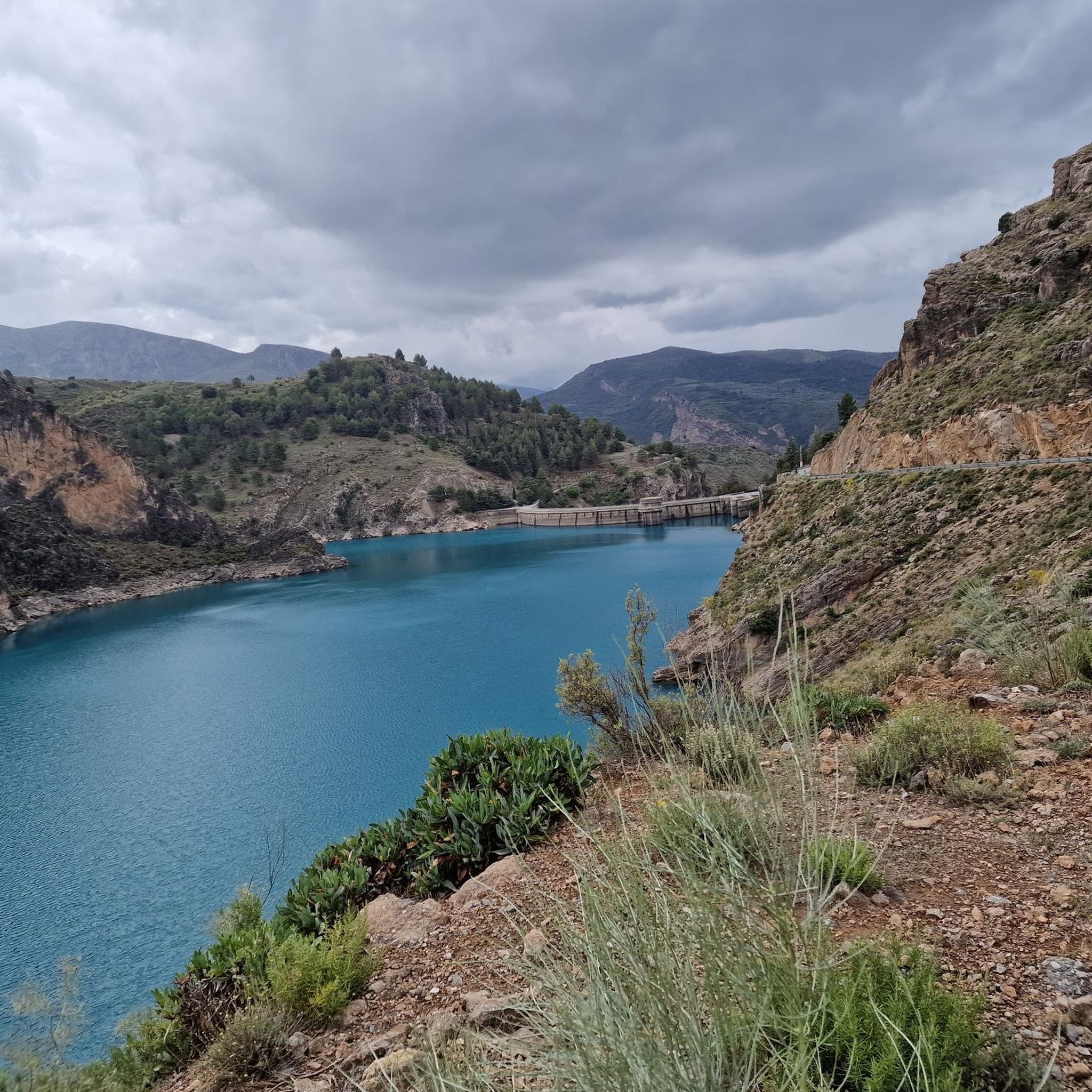
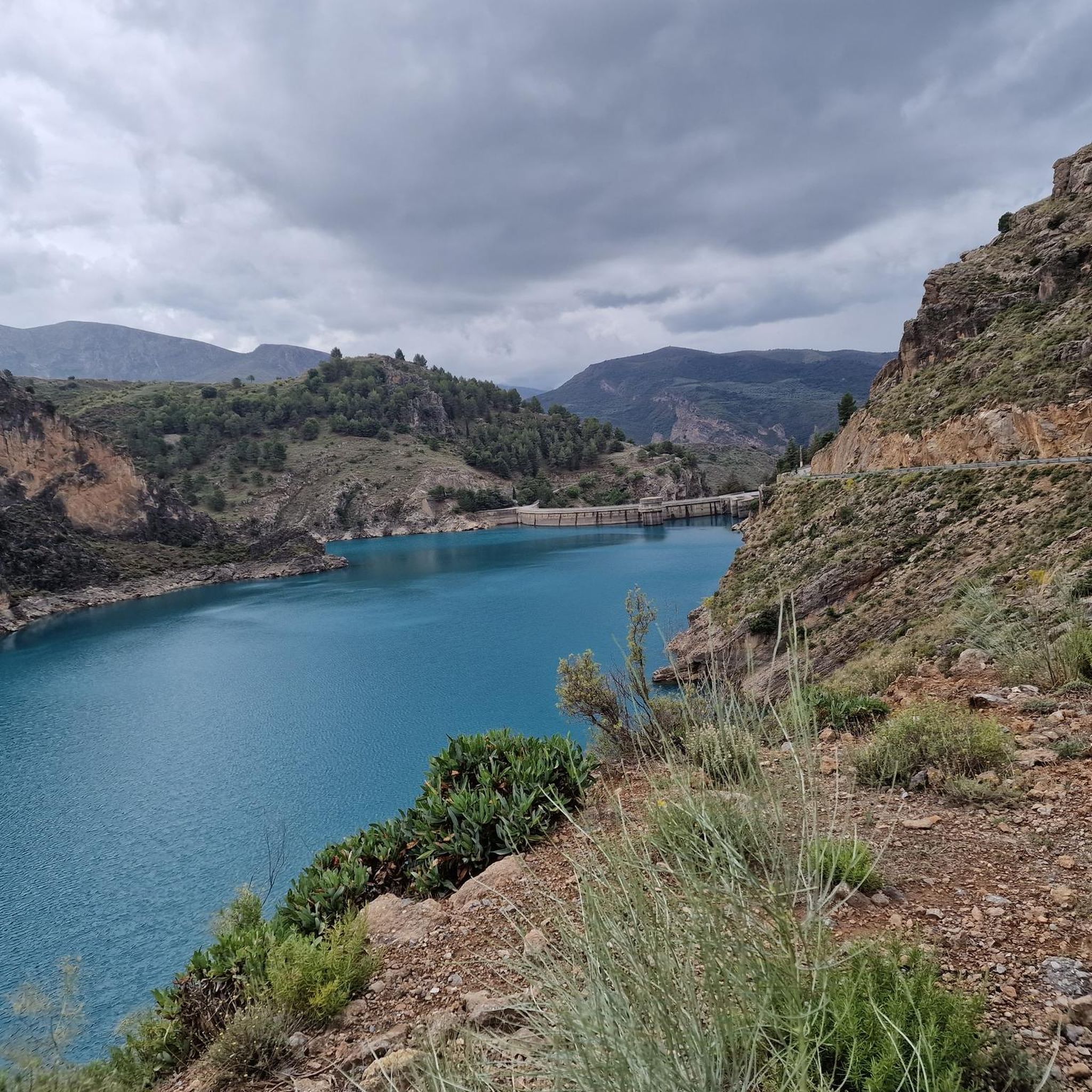
The Pantano de Quéntar is a reservoir in Quéntar, Granada, built between 1971 and 1975 and officially inaugurated on May 11, 1976. It is located at the confluence of the Aguas Blancas and Padules rivers and has a capacity of 14 million cubic meters. The reservoir plays an important role in the water supply of the city of Granada and the irrigation of the surrounding agricultural lands.
9
1

a spectacular area with very good roads
0
0
The Embalse de Quéntar, is also known as the Quéntar reservoir. The reservoir is surrounded by a picturesque landscape and offers numerous recreational opportunities. Visitors can enjoy activities such as hiking, fishing, and even water sports. The reservoir was built in the 70s and plays an important role in the water supply of Granada and the surrounding agricultural areas.
1
0
Frequently Asked Questions
How many hiking trails are available around Embalse de Quéntar?
There are over 110 hiking trails to explore around Embalse de Quéntar, catering to a wide range of abilities. You'll find everything from easy strolls to more challenging treks through the mountainous terrain.
What kind of terrain can I expect on the hiking trails?
The terrain around Embalse de Quéntar is quite varied. You'll encounter paths winding through picturesque almond and olive groves, alongside the tranquil Aguas Blancas river, and up into mountainous areas offering panoramic views. Some trails are easily accessible, while others, particularly those with significant elevation gain, require good physical fitness and sure-footedness.
Are there any easy or beginner-friendly hiking routes?
Yes, there are several easy routes perfect for beginners or those looking for a relaxed walk. For example, the region research mentions a 6.6 km Genil River – Devil's Cave loop and a 5.8 km Güéjar Sierra – Genil River loop, both offering scenic views and varied terrain. Komoot also lists 18 easy tours in the area.
What are some notable landmarks or viewpoints I can discover while hiking?
Hikers can enjoy stunning panoramic views of the Quéntar valley, the Sierra de Huétor, and the majestic Sierra Nevada, with glimpses of the Veleta peak. The dam itself is an impressive structure. For specific viewpoints, the Alto de Calar – View of Sierra Nevada loop offers extensive views of the Sierra Nevada. You can also visit the Fuente de las Pavesas, known for its peaceful fountain and fragrant plants, or the Cerrillo de los Almireces for views of Quéntar village.
Are there any circular walks available?
Many of the trails around Embalse de Quéntar are designed as loops, allowing you to start and end at the same point. For instance, the Aguas Blancas Recreation Area loop is a moderate 9.7 km circular route, and the Alto del Agarradero Refuge loop is a 7.3 km option.
What do other hikers enjoy most about the trails in Embalse de Quéntar?
The area is highly rated by the komoot community, with an average score of 4.5 stars from over 700 reviews. Hikers often praise the diverse landscapes, the stunning reservoir views, and the mountainous backdrops. The variety of trails, from easy to challenging, is also frequently highlighted.
Are there any challenging routes for experienced hikers?
Absolutely. For those seeking a greater challenge, there are 29 difficult routes available. One example is the Fuente del Lago – Sixteen-Spout Fountain loop, a 9.0 km path with significant elevation gain. The region research also mentions a longer Quentar – El Calar – Güejar Sierra route, spanning approximately 23 kilometers.
Can I bring my dog on the hiking trails?
While specific regulations for dogs on every trail can vary, generally, dogs are welcome on many outdoor trails in Spain, especially in natural areas like Embalse de Quéntar. It's always advisable to keep your dog on a leash, especially near wildlife or livestock, and to carry water for them. Please check local signage for any specific restrictions on individual routes.
Is there parking available near the trailheads?
Yes, parking is generally available near popular trailheads and recreation areas around Embalse de Quéntar. Many routes, such as those starting from Casa Rural Fuente la Teja or Cortijo de Puerto Blanco, are accessible by car, and you'll find designated spots to park your vehicle before heading out on your hike.
What other activities can be done around Embalse de Quéntar besides hiking?
Beyond hiking, the Embalse de Quéntar area offers a variety of outdoor pursuits. The reservoir is popular for kayaking and fishing. You can also find opportunities for rock climbing on the rocky slopes. The Aguas Blancas Recreation Area provides additional spaces for walking and even swimming.
What is the best time of year to go hiking in Embalse de Quéntar?
Embalse de Quéntar is enjoyable throughout much of the year. Spring and autumn offer pleasant temperatures and vibrant scenery, making them ideal for hiking. Summers can be hot, so early morning or late afternoon hikes are recommended. Winters are generally mild, but higher elevations might experience cooler temperatures, so dressing in layers is advisable.
Most popular routes around Embalse de Quéntar

Get inspired with the komoot mobile app


Explore more
Browse the best Hikes in other regions.
