The best road cycling routes around Embassament de Riudecanyes
4.8
(34)
2,373
riders
32
rides
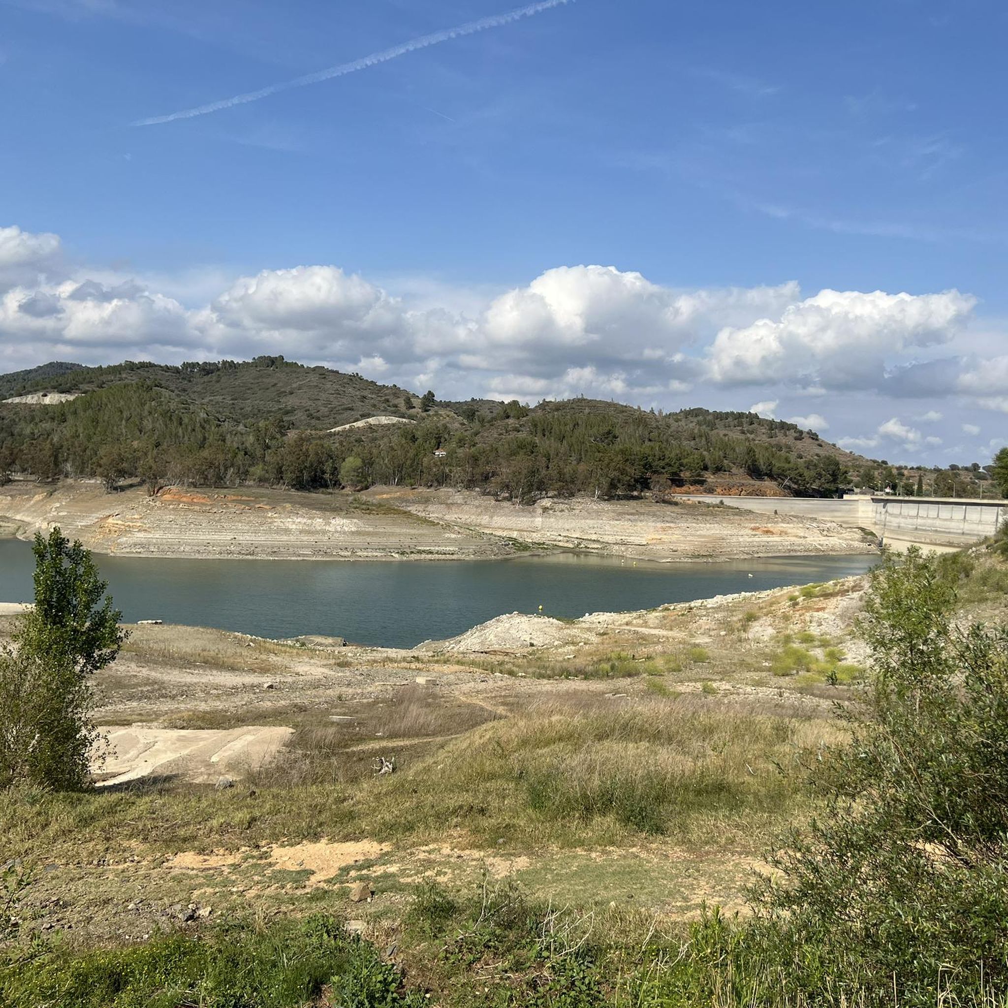
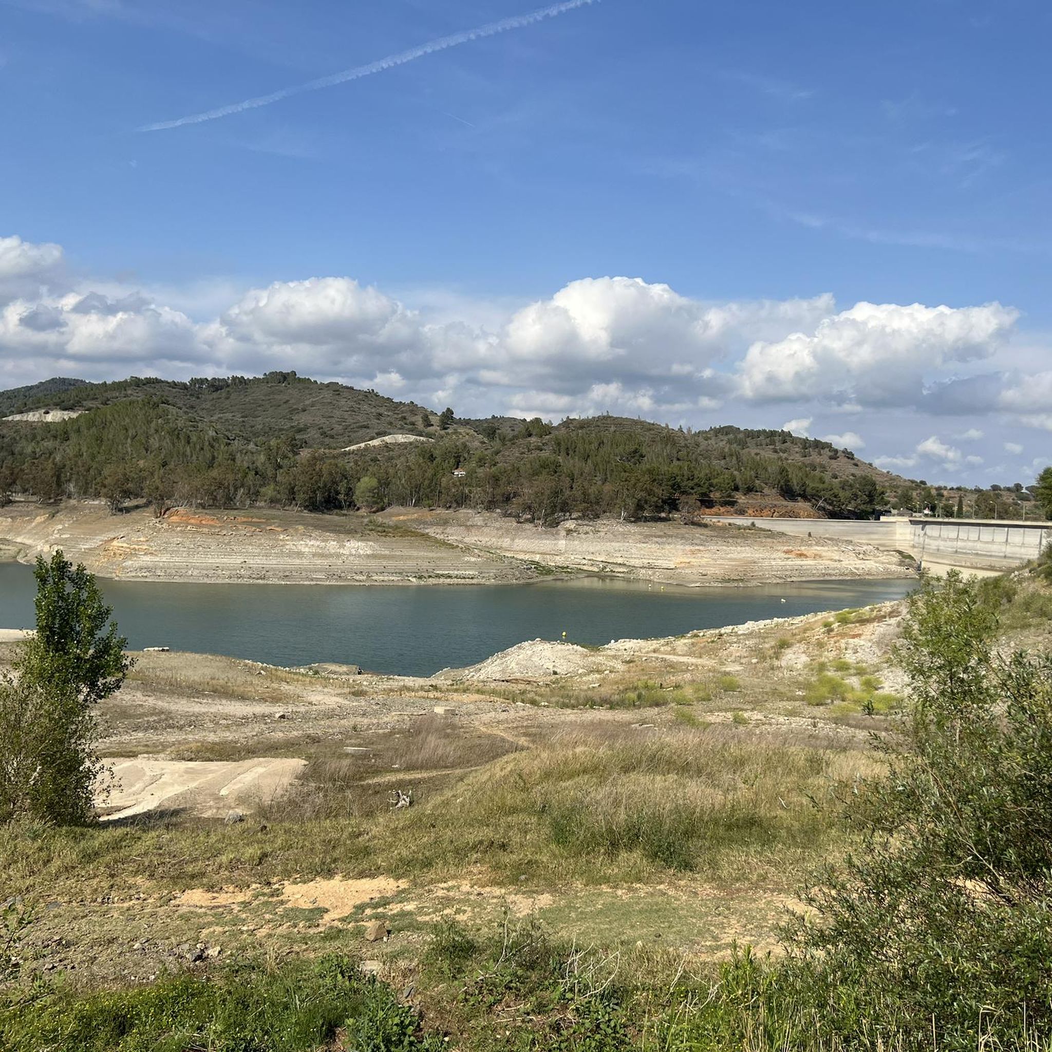
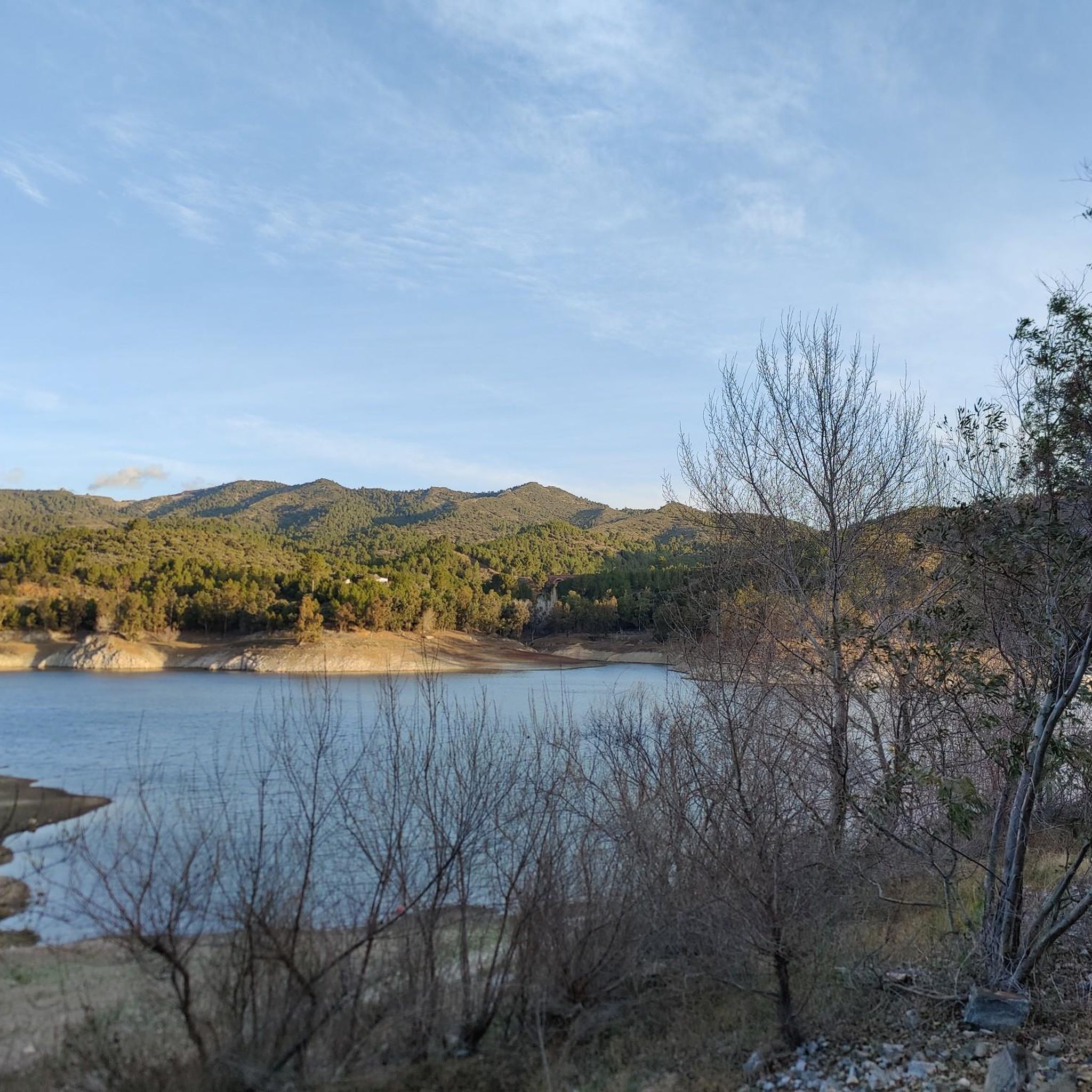
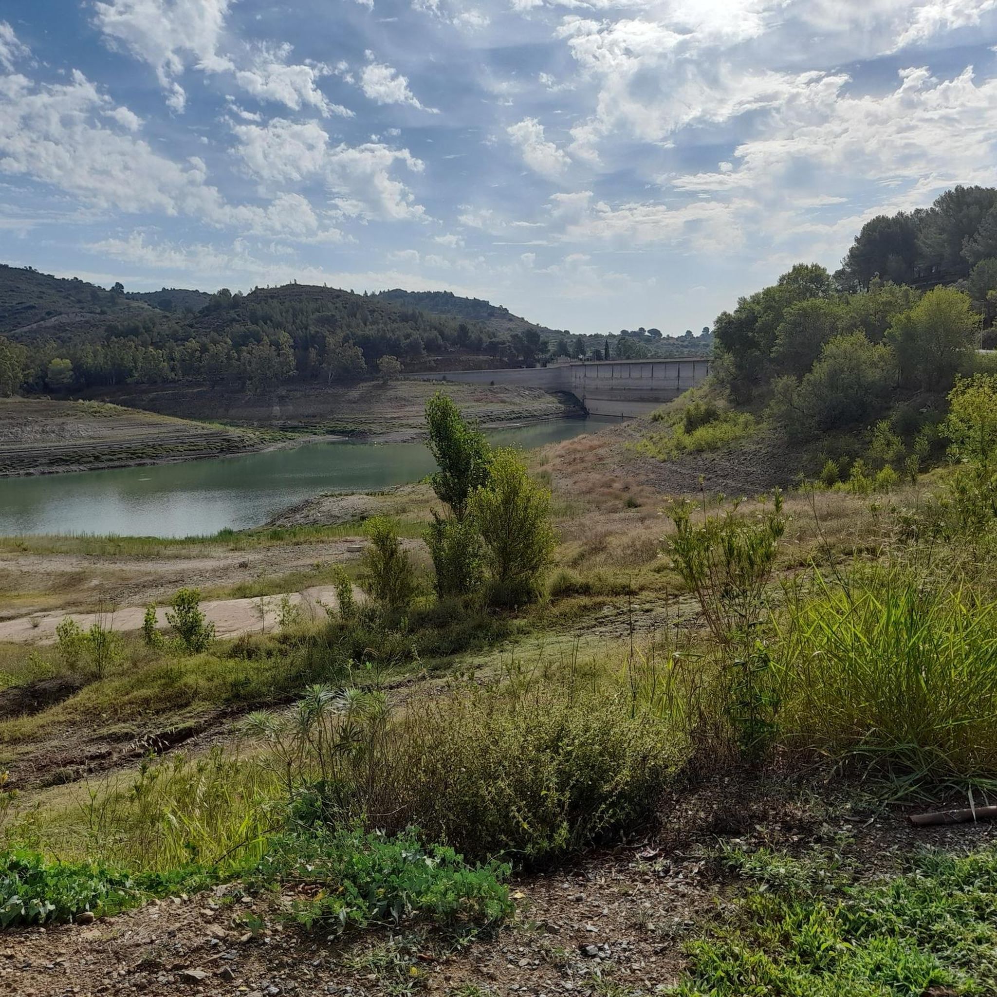
Road cycling around Embassament de Riudecanyes offers diverse terrain in the Baix Camp region of Tarragona, Catalonia. The area features the reservoir's blue waters, extensive pine forests, and holm oak groves, providing varied scenery. Cyclists encounter a mix of well-paved roads and some unpaved segments, with topography ranging from the reservoir's edge to ascents into the Sierra de L'Argentera. This region provides routes suitable for different fitness levels, combining flat sections with climbs and descents.
Best road cycling routes around…
Last updated: July 12, 2026
9
riders
Moderate road ride. Good fitness required. Mostly well-paved surfaces and easy to ride.
180
riders
62.7km
03:11
1,020m
1,020m
Hard road ride. Very good fitness required. Mostly well-paved surfaces and easy to ride.

Sign up for free
141
riders
64.2km
03:10
960m
960m
Hard road ride. Very good fitness required. Mostly well-paved surfaces and easy to ride.
5.0
(1)
60
riders
Moderate road ride. Good fitness required. Mostly well-paved surfaces and easy to ride.
36
riders
Easy road ride. Great for any fitness level. Mostly well-paved surfaces and easy to ride.
Get access to more routes and recommendations from other explorers.
Sign up for free
Already have an account?
Our route recommendations are based on thousands of hikes, rides, and runs completed by other people on komoot.
Start today with a free account
Your next adventure awaits.
Login or Signup

Tips from the Community

Picturesque town that is well worth a stop to enjoy its traditional architecture with some stately homes.
0
0

Nice flowing climb perfect for a short loop
0
0
Nice long climb away from the busy coast
0
0
Beautiful long climb, away from the crowds by the coast!
0
0

Very nice and steady climb from Reus or Maspujols. Relatively little traffic and good asphalt.
0
0

This almost traffic-free road runs between the cliffs and crags of the Dòvia ravine, making the journey very pleasant.
1
0
From this section of the road, the views of Pratdip, and its historic center, nestled among mountains, are spectacular.
0
0

Montbrió del Camp is a municipality in the Spanish province of Tarragona in the region of Catalonia. It covers an area of 11 km². Montbrió del Camp has 2,779 inhabitants (Wikipedia).
12
0
Frequently Asked Questions
What kind of terrain can I expect on road cycling routes around Embassament de Riudecanyes?
The region offers a varied topography, ranging from the reservoir's edge to ascents into the Sierra de L'Argentera. You'll find a mix of well-paved roads and some unpaved segments, providing diverse experiences. Routes often combine flat sections with climbs and descents, catering to different fitness levels.
Are there road cycling routes suitable for beginners or less experienced cyclists?
Yes, there are routes designed for easier cycling. For instance, the View of Botarell – Coll de la Teixeta (541 m) loop from Riudecanyes - Botarell is an easy 26.1 km trail that can be completed in about 1 hour 10 minutes, offering a gentle introduction to the area's beauty.
Are there challenging road cycling routes for experienced cyclists?
Absolutely. For those seeking a challenge, the Alt de la Mussara – Alt de la Mussara loop from Riudecanyes - Botarell is a difficult 63.7 km route with significant elevation changes into the Sierra de L'Argentera, typically taking over 3 hours to complete. This route is popular for its demanding climbs and stunning views.
What landmarks or natural features can I see while cycling around Embassament de Riudecanyes?
Beyond the reservoir itself, which offers beautiful blue waters, you can explore extensive pine forests and holm oak groves. A significant historical attraction is the Castle-Monastery of Sant Miquel d'Escornalbou, a medieval gem perched on a hill, offering impressive landscapes. The town of Riudecanyes also has historical remains from the Middle Paleolithic and an Iberian settlement.
Are there circular road cycling routes available in the area?
Yes, many routes around Embassament de Riudecanyes are circular, allowing you to start and end in the same location. Examples include the Fairy-Tale Castle-Like House – View of Botarell loop from Riudecanyes - Botarell, a moderate 42.6 km loop, and the Coll de la Teixeta – Riudecanyes Reservoir loop from Riudecanyes - Botarenyes, a 38 km moderate route.
What is the best time of year for road cycling in Embassament de Riudecanyes?
The region is generally pleasant for cycling for much of the year. Spring and autumn offer milder temperatures, which are ideal for longer rides and tackling ascents. While the reservoir has experienced low water levels due to drought in recent years, the surrounding landscapes and historical attractions remain accessible for outdoor activities.
Is parking available for road cyclists near the routes?
Yes, parking is generally available in and around the towns like Riudecanyes and Botarell, which serve as common starting points for many of the cycling routes. It's advisable to check local signage for specific parking regulations.
What do other road cyclists enjoy the most about road cycling in Embassament de Riudecanyes?
The area is highly rated by the komoot community, with an average score of 4.8 stars from over 25 reviews. Cyclists often praise the diverse terrain, which combines scenic reservoir views with challenging mountain ascents, and the opportunity to explore historical sites like the Castle-Monastery of Sant Miquel d'Escornalbou.
Are there any cafes or places to stop for refreshments along the cycling routes?
The towns surrounding the Embassament de Riudecanyes, such as Riudecanyes, Botarell, and Montbrió del Camp, offer various amenities including cafes and restaurants where cyclists can stop for refreshments and meals. Planning your route to pass through these towns can enhance your cycling experience.
How many road cycling routes are available in the Embassament de Riudecanyes area?
There are over 25 road cycling routes available around Embassament de Riudecanyes, offering a wide range of distances and difficulties to suit various preferences and fitness levels.
Can I find routes that combine both coastal and mountainous scenery?
Yes, the region's proximity to both the reservoir and the Sierra de L'Argentera means many routes skillfully combine flat sections with ascents and descents, providing both inland and distant coastal views. This allows for a dynamic cycling experience that showcases the diverse landscapes of the Baix Camp area.
Are there routes that pass through historical towns or villages?
Many routes are designed to connect or pass through charming local towns and villages, allowing cyclists to experience the rich history and culture of the region. For example, the Montbrió del Camp Town Hall – Torre dels Moros loop from Riudecanyes - Botarell takes you through Montbrió del Camp, offering glimpses of local architecture and historical sites.
Most popular routes around Embassament de Riudecanyes

Get inspired with the komoot mobile app


Explore more
Browse the best Road cycling routes in other regions.
