The best road cycling routes around Francisco Abellán
4.3
(20)
1,204
riders
9
rides
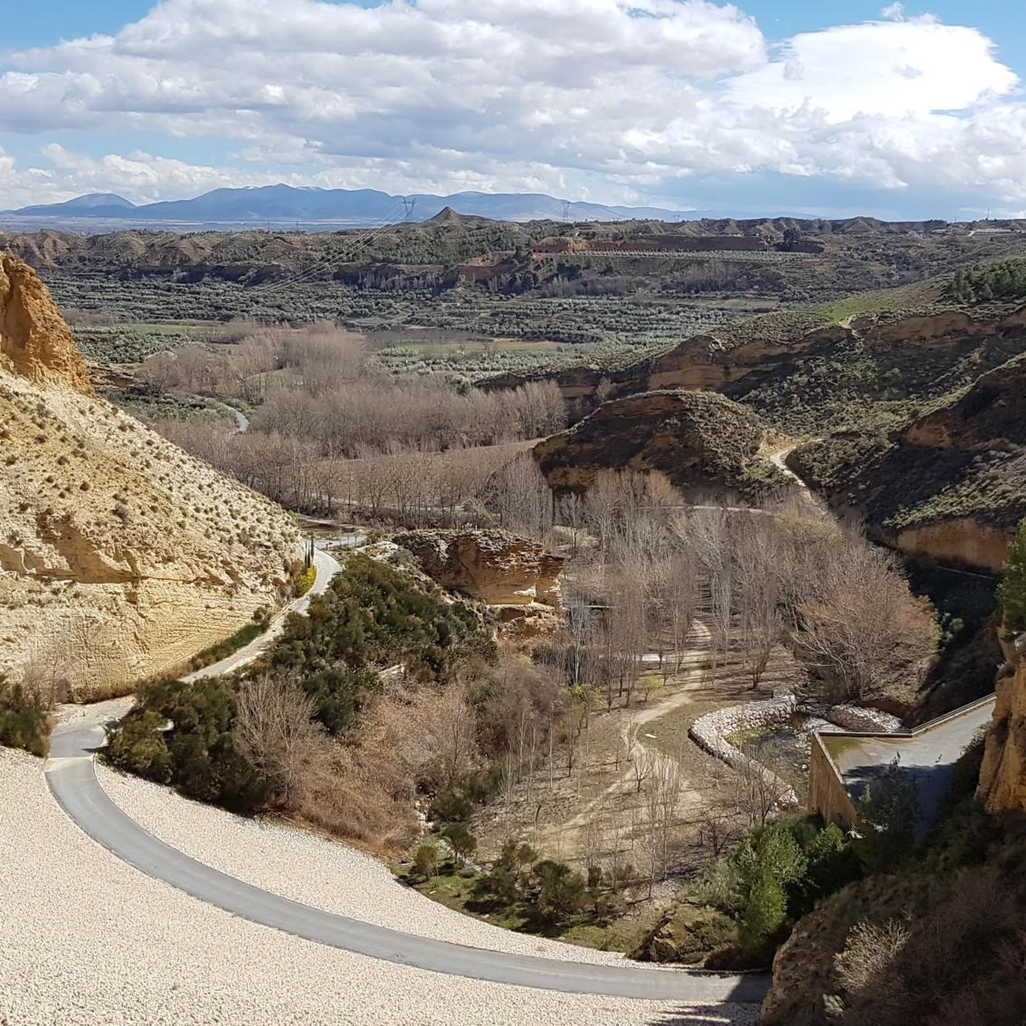
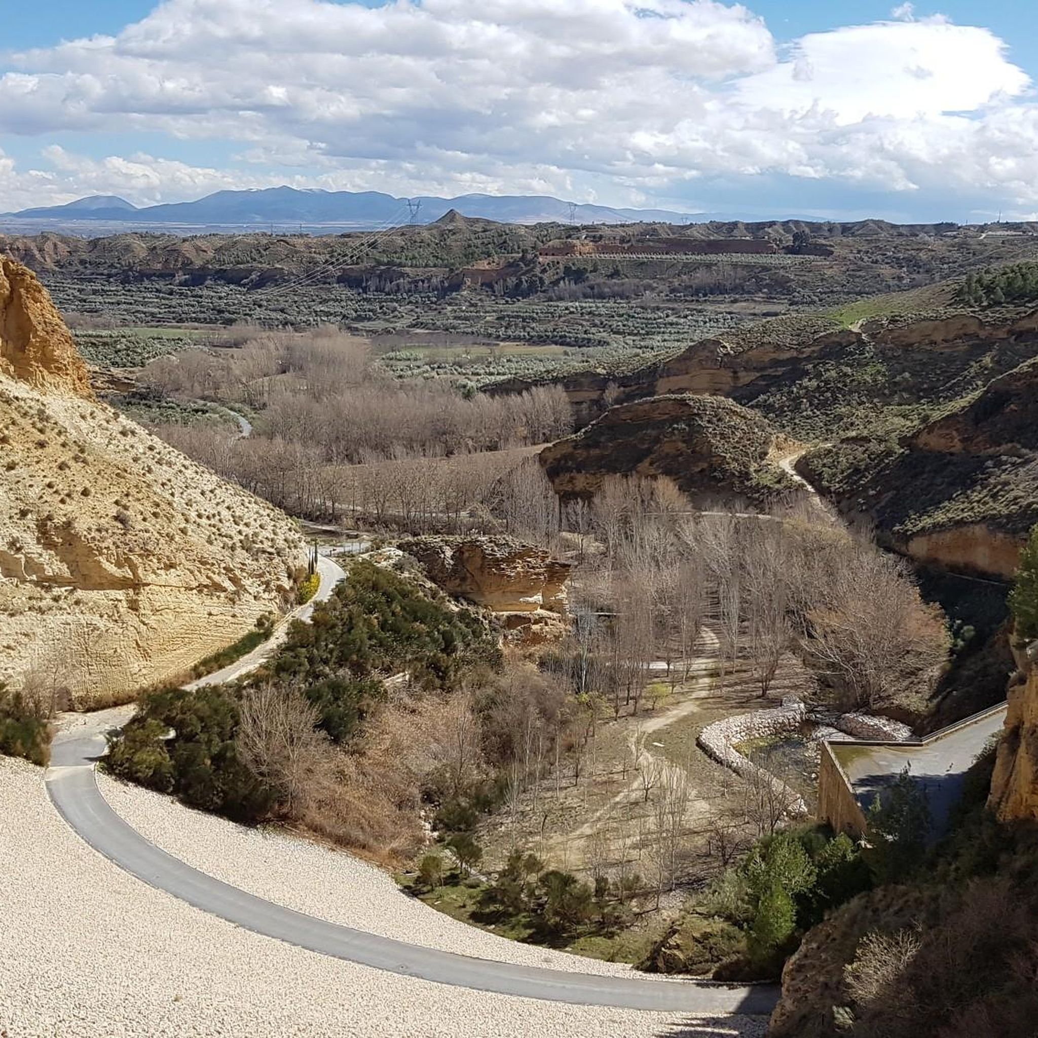
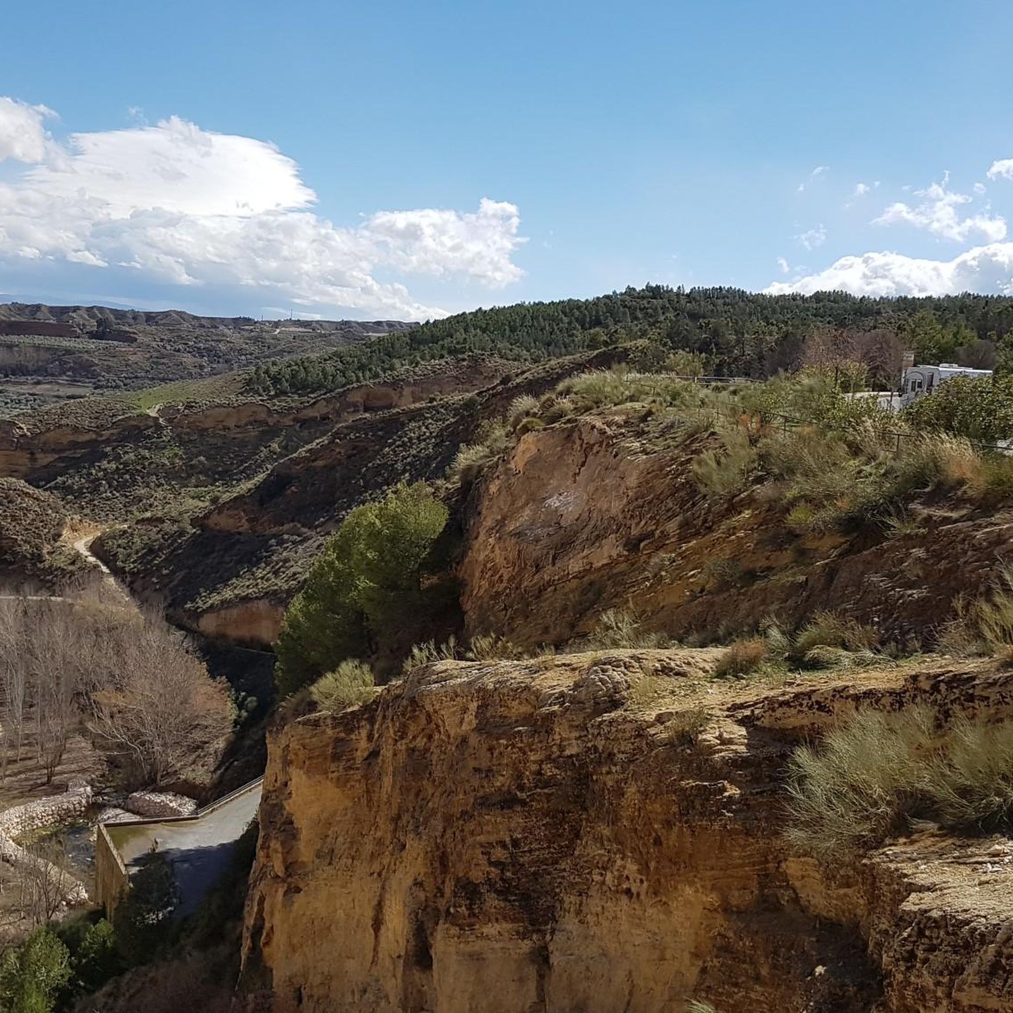
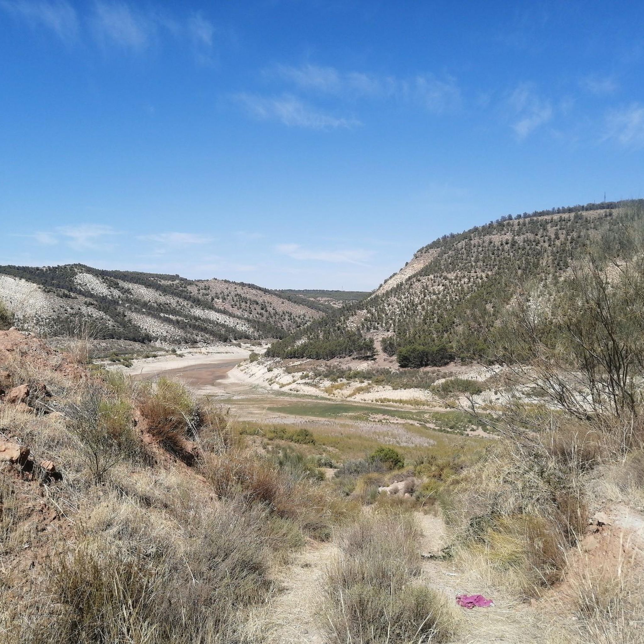
Road cycling around Francisco Abellán is centered on the reservoir, a prominent feature on the Fardes River within the Hoya de Guadix region. The area offers diverse terrain, ranging from well-paved surfaces with moderate elevation gains to more challenging routes. Cyclists can expect varied landscapes, including the reservoir's waters and the surrounding natural environment. The region provides options for different fitness levels, with some routes featuring significant ascents.
Best road cycling routes around Francisco Abellán
- The most popular road cycling…
Last updated: July 5, 2026
3
riders
Moderate road ride. Good fitness required. Mostly well-paved surfaces and easy to ride.
4.9
(7)
353
riders
168km
09:20
3,570m
3,570m
Hard road ride. Very good fitness required. Mostly well-paved surfaces and easy to ride.

Sign up for free
28
riders
69.2km
03:13
730m
730m
Moderate road ride. Good fitness required. Mostly well-paved surfaces and easy to ride.
3.0
(1)
14
riders
46.1km
02:26
700m
700m
Moderate road ride. Good fitness required. Mostly well-paved surfaces and easy to ride.
24
riders
144km
07:02
2,130m
2,130m
Hard road ride. Very good fitness required. Mostly well-paved surfaces and easy to ride.
Get access to more routes and recommendations from other explorers.
Sign up for free
Already have an account?
Our route recommendations are based on thousands of hikes, rides, and runs completed by other people on komoot.
Start today with a free account
Your next adventure awaits.
Login or Signup

Tips from the Community

Guadix is an ancient city located in the heart of the province of Granada. Famous for its unique dwellings excavated in the rock, the so-called "cave houses", which house a significant part of its population, it offers a lunar landscape of chimneys and whitewashed facades emerging from the clayey terrain. Its imposing Renaissance cathedral and its Arab alcazaba are silent witnesses to the rich history that has marked this land since Roman times.
0
0

A very beautiful, expansive hiking and biking area. Also suitable for multi-day hikes with overnight stays (tent, bikepacking, etc.). Awesome views in every direction. Plenty of free parking available. A must-see for anyone in the area.
1
1

Here you still have to overcome 800 vertical meters to reach the top of the Pico Veleta. Shortly after that, cars cannot go any further and you are on the road alone!
1
0

start of a great road decent back into Granada
0
0

Beautiful fountain with ceramics and fresh water
7
0
The Pantano de Quéntar is a reservoir in Quéntar, Granada, built between 1971 and 1975 and officially inaugurated on 11 May 1976. It is located at the confluence of the Aguas Blancas and Padules rivers and has a capacity of 14 million cubic metres. The reservoir plays an important role in the water supply of the city of Granada and the irrigation of the surrounding agricultural lands.
9
0

a spectacular area with very good roads
0
0
Puerto de los Blancares, 1297m Puerto de los Blancares is a mountain pass in the Sierra Nevada, Granada, at an altitude of 1297 metres. It is on the GR-3201 route, which connects La Peza with Granada. The route is approximately 9.3 kilometres long and offers scenic scenery with an average gradient of 3.4%. It is a popular route for walkers and cyclists due to the beautiful scenery and the challenging, but advantageous, gradient. The route starts near the Pantano de Quéntar and passes through forests and open terrain.
7
0
Frequently Asked Questions
What kind of terrain can I expect when road cycling around Francisco Abellán?
The Francisco Abellán Reservoir area offers diverse terrain for road cycling. You'll find routes with mostly well-paved surfaces and moderate elevation gains, suitable for various fitness levels. The broader Hoya de Guadix region, where the reservoir is located, also features more challenging routes with significant ascents.
Are there challenging road cycling routes for experienced riders?
Yes, for experienced riders seeking a challenge, the region offers routes with substantial elevation gains, some reaching up to 3,000 ft or more. An example is the Quéntar Reservoir – Hoya de la Mora loop from Diezma, which is 103.1 miles (166.0 km) with a significant 3,485m elevation gain, requiring very good fitness.
Are there easier road cycling options for beginners around Francisco Abellán?
While most routes in this specific guide are moderate to difficult, the region generally offers options for varying fitness levels. Cyclists can find routes with moderate elevation gains, making them accessible for those with good basic fitness. It's best to check the route details for specific difficulty ratings.
Are there any circular road cycling routes in the area?
Yes, several routes are designed as loops, allowing you to start and finish in the same location. A popular choice is the Francisco Abellán Reservoir – Los Blancares Pass loop from La Peza, a moderate 25.8 miles (41.6 km) path that offers scenic views.
What is the typical length of road cycling routes near Francisco Abellán?
The road cycling routes around Francisco Abellán vary in length. You can find moderate routes around 25-30 miles (40-50 km), such as the Francisco Abellán Reservoir and ascent to Puerto los Blancares — from La Peza (27.5 miles), up to much longer, more challenging routes exceeding 100 miles (160 km) in the broader Hoya de Guadix region.
Where can I find scenic viewpoints or natural features along the road cycling routes?
The Francisco Abellán Reservoir itself is a central scenic feature, with its waters contributing to the visual appeal of the landscape. Many routes offer views of the reservoir and the surrounding natural environment of the Fardes River and the Hoya de Guadix region. Look for routes that specifically mention passes or viewpoints in their descriptions for elevated vistas.
Is parking available at the trailheads for road cycling routes?
While specific parking information for every trailhead isn't detailed, routes often start from towns like La Peza or Diezma, where public parking options are typically available. It's advisable to check the starting point of your chosen route on komoot for more precise parking suggestions.
What is the best season for road cycling around Francisco Abellán?
The Francisco Abellán area, being in a Mediterranean climate, generally offers good conditions for road cycling for much of the year. Spring and autumn typically provide the most pleasant temperatures. Summers can be hot, while winters are milder but may have cooler mornings.
What do other road cyclists enjoy about the routes around Francisco Abellán?
The routes in Francisco Abellán are highly rated by the komoot community, with an average score of 4.3 stars from over 18 reviews. Cyclists often praise the varied terrain, the scenic views of the reservoir, and the options available for different fitness levels, from moderate rides to challenging climbs.
Can you recommend a moderate road cycling route that includes a significant climb?
For a moderate route with a notable ascent, consider the Francisco Abellán Reservoir and ascent to Puerto los Blancares — from La Peza. This 27.5 miles (44.2 km) trail features an 850m elevation gain, offering a good workout and rewarding views.
Are there any other notable road cycling routes in the wider Hoya de Guadix region?
Beyond the immediate reservoir area, the broader Hoya de Guadix region offers additional road cycling opportunities. For instance, the Mirador de la Magdalena – Cave Quarter, Guadix loop from Diezma is a moderate 69.9 km route that explores different parts of this intriguing landscape.
How many road cycling routes are available in the Francisco Abellán area?
There are approximately 8 road cycling routes detailed for the Francisco Abellán area, ranging from moderate to difficult. This selection provides options for various skill levels and preferences.
Most popular routes around Francisco Abellán

Get inspired with the komoot mobile app


Explore more
Browse the best Road cycling routes in other regions.
