The best MTB trails around Embalse del Pontón Alto
4.5
(180)
1,787
riders
158
rides
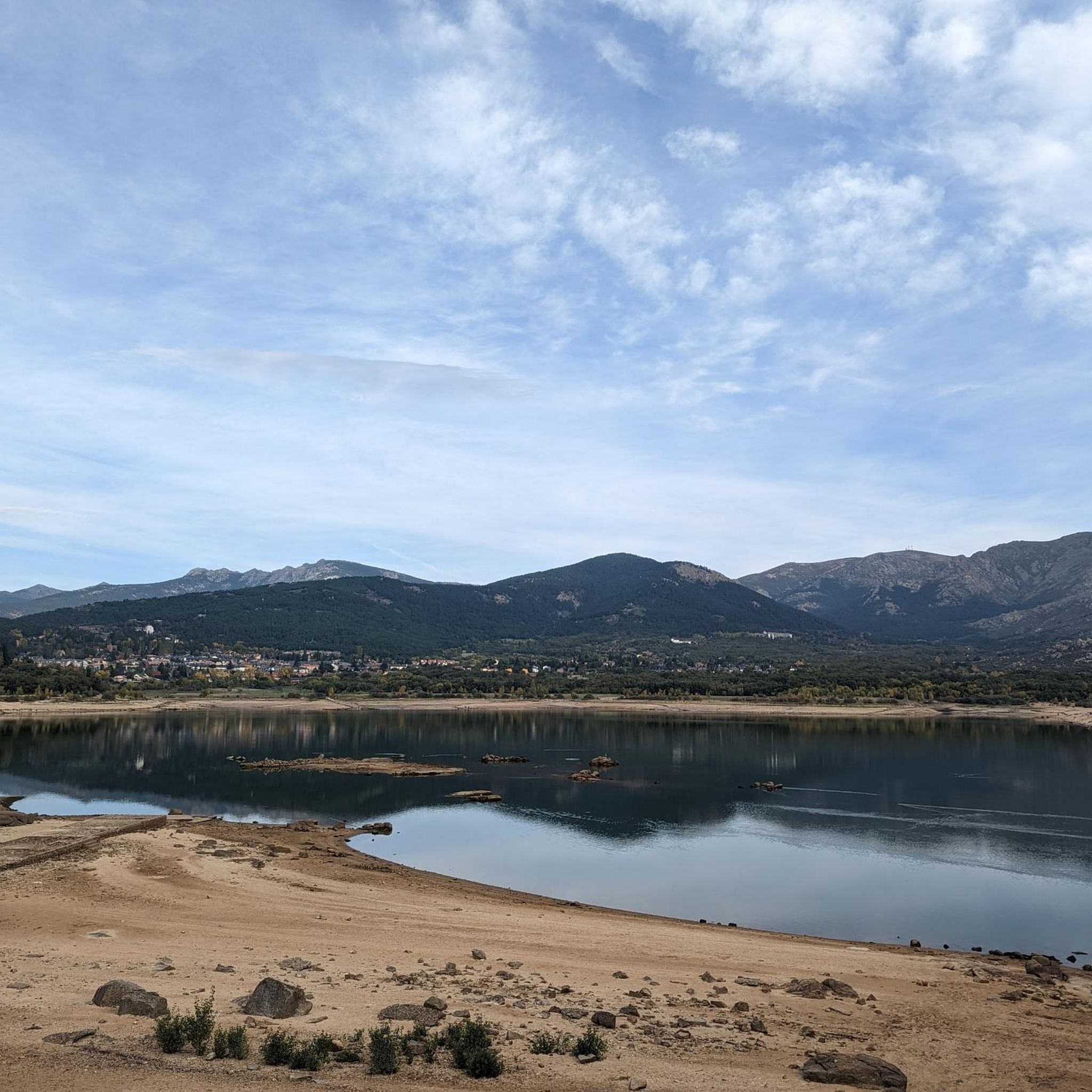
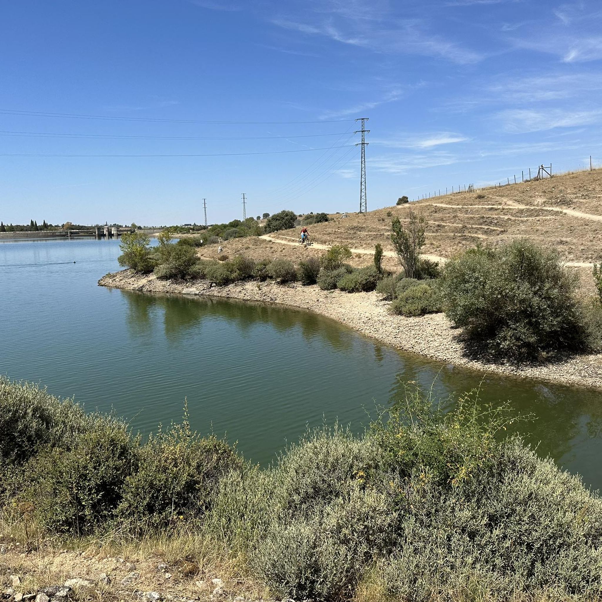
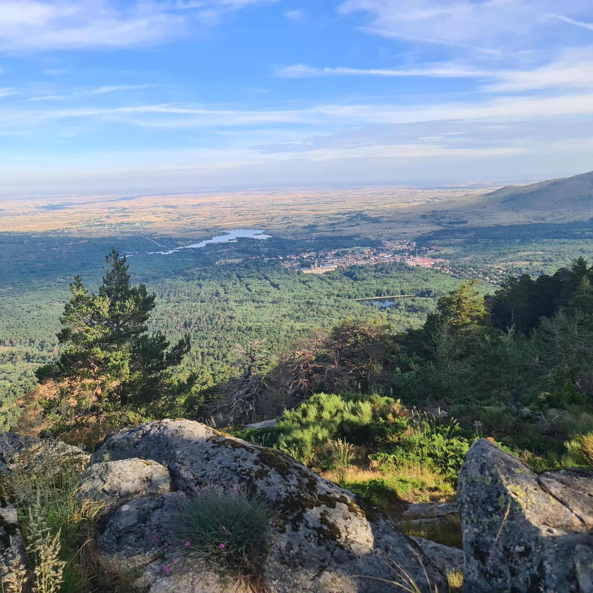
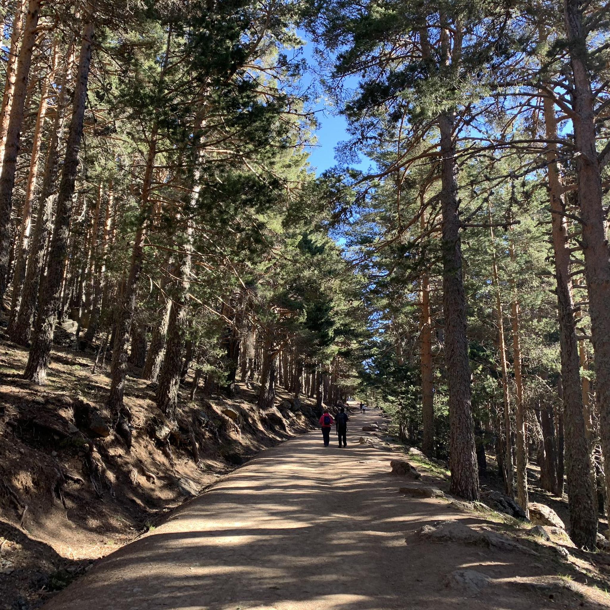
Mountain biking around Embalse del Pontón Alto offers routes through varied terrain, including the foothills of the Sierra de Guadarrama and areas surrounding the reservoir. The landscape features a mix of woodlands, river valleys, and open spaces, providing diverse riding conditions. Elevation changes are present, ranging from gentle slopes near the water to more challenging climbs in the higher areas. The region is characterized by its natural and historical elements, making it suitable for mountain biking exploration.
Best mountain bike trails around Embalse del Pontón Alto
- The most popular mountain bike trail is Royal Sites Trail Loop, a 17.4 miles (28.1 km) trail that takes 2 hours 22 minutes to complete. This difficult route explores historical "Royal Sites" with notable scenery.
- Another top favourite among local mountain bikers is Segovia and the Royal Sites MTB Loop, a moderate 28.0 miles (45.1 km) path. This route combines urban and natural landscapes, passing through Segovia and historical areas.
- Local mountain bikers also love the La Atalaya y río Pirón desde La Granja — Sierra de Guadarrama, a 26.7 miles (43.0 km) trail leading through river valleys and the Sierra de Guadarrama foothills, often completed in about 4 hours 6 minutes.
- Mountain biking around Embalse del Pontón Alto is defined by reservoir-side paths, river valleys, and the lower slopes of the Sierra de Guadarrama. The network offers options for different ability levels, from moderate to difficult.
- The routes in Embalse del Pontón Alto are highly rated by the komoot community with an average score of 4.6 stars from over 140 reviews. More than 1600 mountain bikers have used komoot to explore Embalse del Pontón Alto's varied terrain.
Last updated: July 7, 2026
5
riders
28.1km
02:22
360m
370m
This difficult 17.4-mile mountain biking route near San Ildefonso offers challenging terrain and stunning views of the Sierra de Guadarrama.
1.0
(1)
2
riders
45.1km
03:15
740m
740m
This moderate 28.0-mile mountain biking route in Sierra de Guadarrama offers challenging terrain and panoramic views near Segovia.

Sign up for free
3.0
(1)
3
riders
43.0km
04:06
930m
930m
Hard mountain bike ride. Very good fitness required. Advanced riding skills necessary.
5.0
(2)
50
riders
Hard mountain bike ride. Very good fitness required. Advanced riding skills necessary. Some portions of the route may require you to push your bike.
3.5
(10)
35
riders
Easy mountain bike ride. Great for any fitness level. Suitable for all skill levels.
Get access to more routes and recommendations from other explorers.
Sign up for free
Already have an account?
Our route recommendations are based on thousands of hikes, rides, and runs completed by other people on komoot.
Start today with a free account
Your next adventure awaits.
Login or Signup

Tips from the Community

Key Facts: Cela Sundial Location: It is located in the Pradera de Navarrulaque (Cercedilla), at an altitude of about 1,670 meters, right on the Carretera de la República. History: Inaugurated in 1995, it is a tribute to the writer (a great lover of the mountains and author of Cuadernos del Guadarrama) and to the first hikers who traversed these mountains. Curiosity: It is an analemmatic sundial. This means it does not have a fixed needle; you are the clock yourself. You have to stand on the current date marked on the ground, and your own shadow will indicate the time on the stone pieces surrounding you. Surroundings: It is on a beautiful route that passes by the Ducha de los Alemanes and the Miradores de los Poetas. I love this sundial in honor of Cela. It's super original because you interact with it to know the time. It's in a privileged spot in the Sierra de Cercedilla, surrounded by pine trees and with a lot of peace. A "rural monument" with a lot of charm that I never tire of visiting on my hikes through the Valle de la Fuenfría.
0
0

If the Queen drank this water, it is because it is good and fresh.
0
1
The meadow of the old Fuenfría inn is a privileged place for stopping and resting, from where you can see extraordinary landscapes such as Siete Picos and the Bola del Mundo.
0
1

Information about the “Acueducto de Segovia” and many more photos can be found in the corresponding hiking highlight at => https://www.komoot.com/de-de/highlight/4225055
3
0

Fantastic construction, it impressed me as much as the first time I saw it as a child.
3
0
We verify that it marks the Solar time perfectly.
1
0
Fresh water from La Fuenfría to quell the heat of the walk.
1
0

The Cruz de la Gallega is a landmark on the route to the Matabueyes hill, located in the Valsaín mountains, near the Royal Site of San Ildefonso in the province of Segovia.
1
0
Frequently Asked Questions
How many mountain bike trails are available around Embalse del Pontón Alto?
There are over 140 mountain bike trails recorded on komoot around Embalse del Pontón Alto, offering a wide range of options for different skill levels and preferences.
What is the best season for mountain biking around Embalse del Pontón Alto?
The region around Embalse del Pontón Alto is generally best for mountain biking from spring through autumn. The weather is typically milder and more stable, making for pleasant riding conditions. While some routes may be accessible in winter, be mindful of colder temperatures and potential snow in higher elevations, especially towards the Sierra de Guadarrama foothills.
Are there any family-friendly mountain bike routes near Embalse del Pontón Alto?
Yes, there are several easier routes suitable for families. For instance, the Cristo de Robledo loop from Parque Natural de la Sierra de Guadarrama Norte is classified as easy and offers a manageable distance for a family outing. There are 17 easy routes in total, many of which feature less challenging terrain closer to the reservoir.
Where can I find parking for mountain biking trailheads around Embalse del Pontón Alto?
Parking availability varies by trailhead. Many routes, especially those starting near towns like La Granja or Segovia, will have designated parking areas. For routes deeper into natural areas, roadside parking might be an option, but it's always advisable to check the specific route details on komoot for recommended starting points and parking information before you go.
Are permits required for mountain biking in the Embalse del Pontón Alto area?
Generally, permits are not required for mountain biking on established trails around Embalse del Pontón Alto. However, if your route ventures into specific protected areas or private land, it's always best to check local regulations. Always respect signage and environmental guidelines.
What are some good options for advanced mountain bikers in this region?
Advanced riders will find plenty of challenging terrain. Routes like La Atalaya y río Pirón desde La Granja — Sierra de Guadarrama offer significant elevation changes and technical sections through river valleys and the Sierra de Guadarrama foothills. Another demanding option is the Fuenfría Pass – Fuente de la Reina loop from Parque Natural de la Sierra de Guadarrama Norte, which features substantial climbs. There are 62 difficult routes in the area to explore.
Are there circular mountain bike trails around Embalse del Pontón Alto?
Yes, many of the mountain bike trails in the region are circular, allowing you to start and end at the same point. For example, the Segovia and the Royal Sites MTB Loop is a popular circular route that combines urban and natural landscapes. Komoot's route planner can also help you discover or create custom circular tours.
What do other mountain bikers enjoy most about the trails in Embalse del Pontón Alto?
The mountain bike trails around Embalse del Pontón Alto are highly rated by the komoot community, with an average score of 4.6 stars from over 140 reviews. Riders often praise the varied terrain, which includes reservoir-side paths, river valleys, and the lower slopes of the Sierra de Guadarrama, providing diverse and scenic riding experiences.
Can I find mountain bike trails with scenic viewpoints around Embalse del Pontón Alto?
Absolutely. The region's diverse landscape, from the reservoir's edge to the foothills of the Sierra de Guadarrama, offers numerous opportunities for scenic views. Routes often pass through elevated sections or open areas that provide panoramic vistas of the reservoir, surrounding woodlands, and distant mountains. The Royal Sites Trail Loop, for instance, is known for its notable scenery.
Are there less crowded mountain bike trails near Embalse del Pontón Alto?
While popular routes can see more traffic, the extensive network of over 140 trails means you can often find quieter options. Exploring routes slightly further from main access points or choosing trails with higher difficulty ratings can lead to a more solitary experience. Komoot's map allows you to explore less-trafficked paths.
Are there any mountain bike routes that pass by cafes or places to refuel?
Many routes that pass through or near towns and villages, such as Segovia or La Granja, will offer opportunities to stop at cafes, restaurants, or shops for refreshments. For routes deeper in nature, it's always recommended to carry sufficient water and snacks. Check the route details on komoot for points of interest along the way.
Most popular routes around Embalse del Pontón Alto

Get inspired with the komoot mobile app


Explore more
Browse the best MTB trails in other regions.
