The best walks and hikes around Endara - San Anton urtegia
4.5
(1312)
9,827
hikers
343
hikes
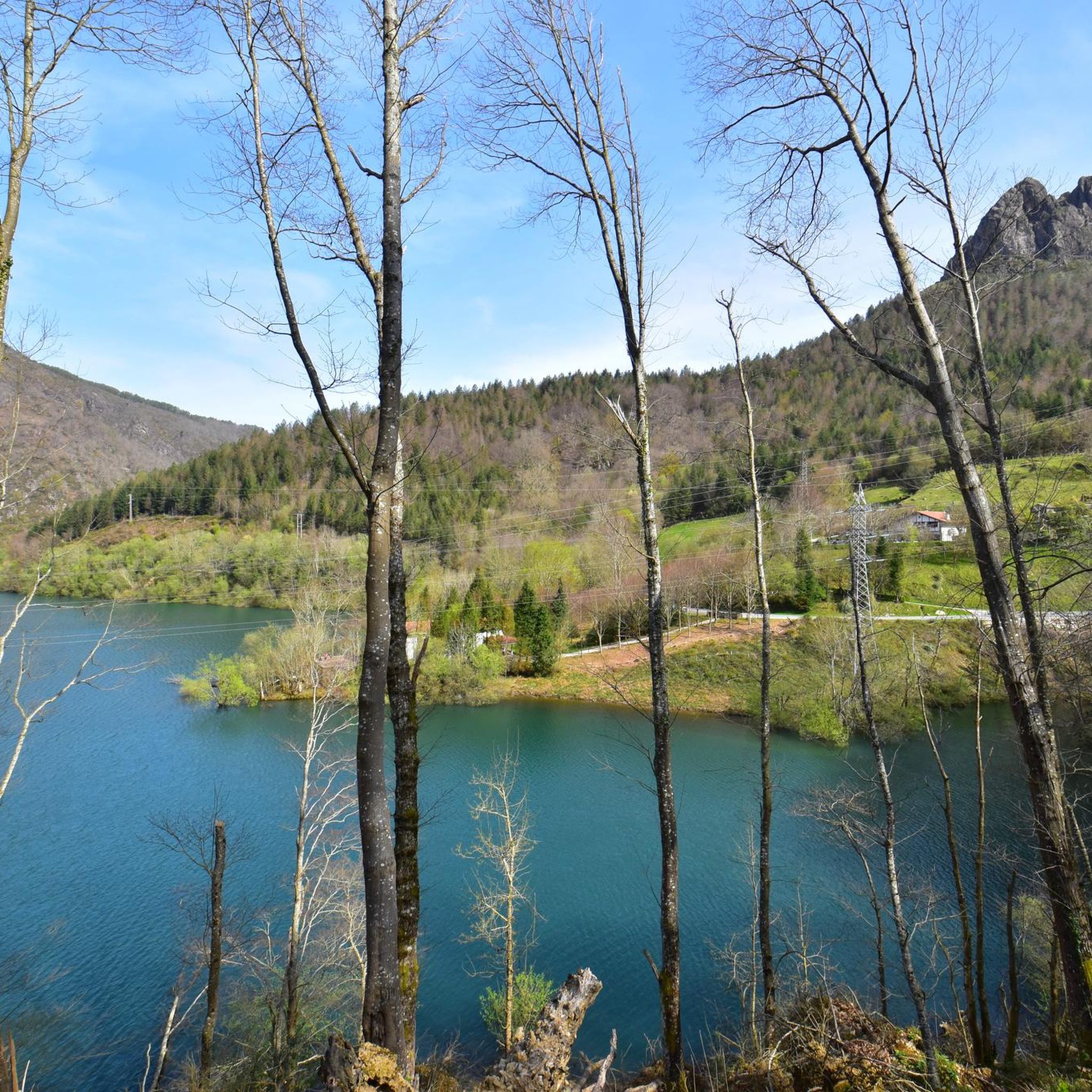
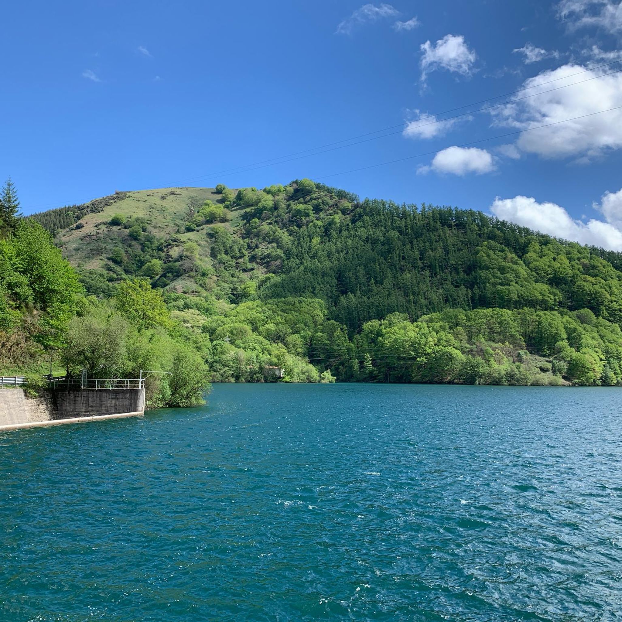
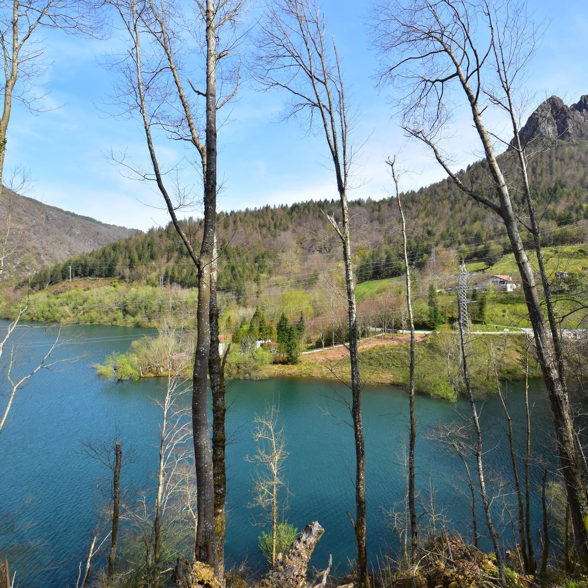
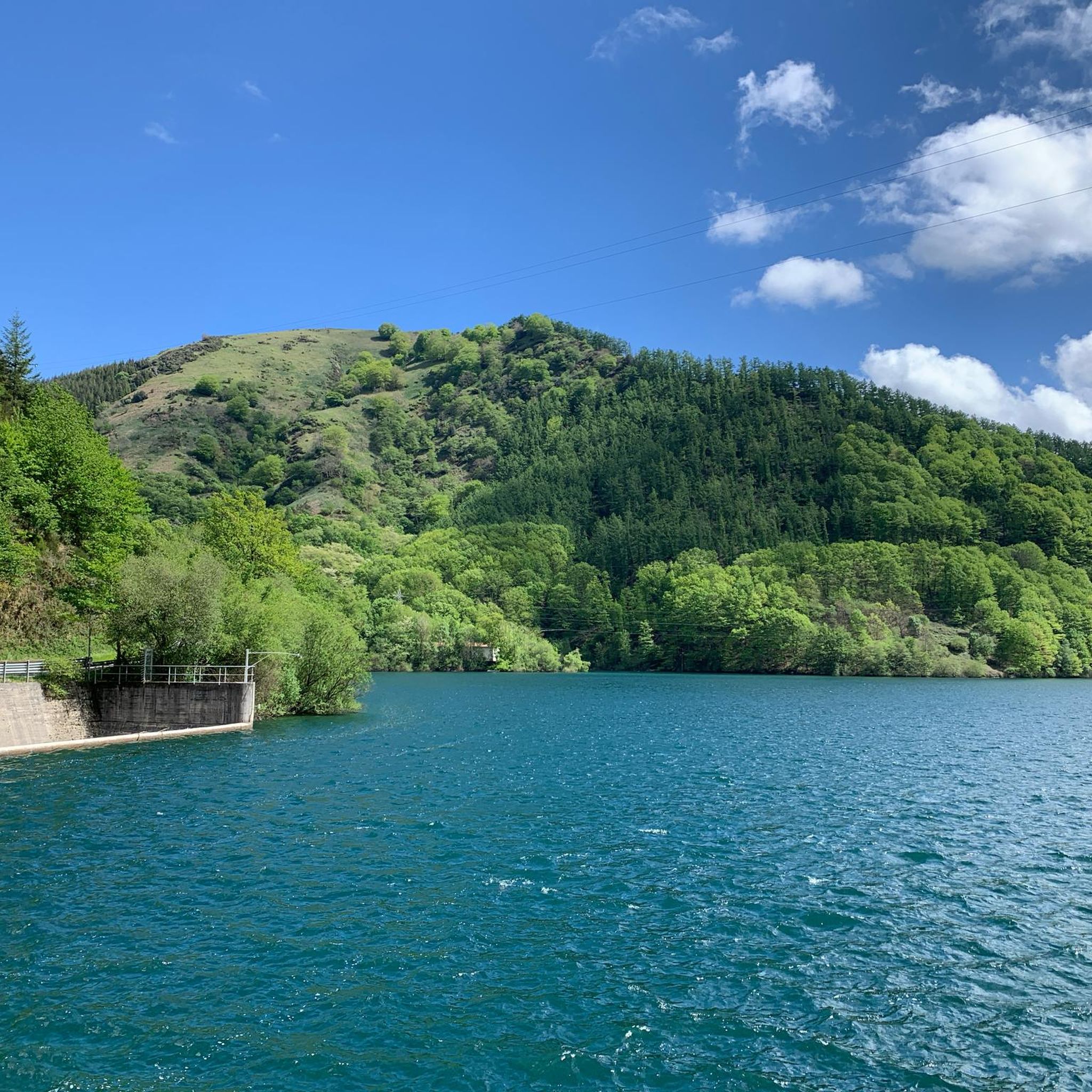
Hiking around Endara - San Anton urtegia offers diverse trails set within a unique landscape. The region features the Embalse de Endara, a reservoir surrounded by pine forests and mountains. Hikers can explore varied arboreal landscapes, including a Japanese Larch Forest and areas with Giant Sequoias. The terrain includes moderate elevation gain and paths suitable for different fitness levels.
Best hiking trails around Endara - San Anton urtegia
- The most popular hiking route is Muganix Summit (758 m) – Irumugarrieta Peak (811 m) loop from Endara, a 7.3 miles (11.7 km) trail that takes 4 hours 48 minutes to complete. This difficult route involves significant elevation gain, leading to two prominent peaks.
- Another top favourite among local hikers is Japanese Larch Forest – View of Irumugarrieta loop from Endara, a moderate 5.9 miles (9.5 km) path. This trail leads through a distinctive Japanese Larch Forest, offering views towards Irumugarrieta.
- Local hikers also love the Giant Sequoia of Domiko Lake loop from Endara, a 3.6 miles (5.9 km) trail leading through areas featuring the Giant Sequoia of Domiko Lake, often completed in about 1 hour 37 minutes.
- Hiking around Endara - San Anton urtegia is defined by reservoir views, pine forests, and unique arboreal features like the Japanese Larch Forest and Giant Sequoias. The network offers options for different ability levels, from moderate loops to more challenging summit ascents.
- The routes in Endara - San Anton urtegia are highly rated by the komoot community with an average score of 4.5 stars from more than 1,200 reviews. More than 9,000 hikers have used komoot to explore Endara - San Anton urtegia's varied terrain.
Last updated: July 9, 2026
4.3
(3)
20
hikers
6.11km
02:20
370m
370m
Moderate hike. Good fitness required. Mostly accessible paths. Sure-footedness required.
5.0
(2)
19
hikers
11.9km
04:51
570m
570m
Hard hike. Good fitness required. Sure-footedness, sturdy shoes and alpine experience required.

Sign up for free
3.5
(2)
6
hikers
9.54km
03:49
420m
420m
Moderate hike. Good fitness required. Mostly accessible paths. Sure-footedness required.
4.7
(12)
37
hikers
Moderate hike. Good fitness required. Mostly accessible paths. Sure-footedness required.
5.0
(2)
15
hikers
6.07km
01:40
100m
100m
Moderate hike. Great for any fitness level. Mostly accessible paths. Sure-footedness required.
Get access to more routes and recommendations from other explorers.
Sign up for free
Already have an account?
Our route recommendations are based on thousands of hikes, rides, and runs completed by other people on komoot.
Start today with a free account
Your next adventure awaits.
Login or Signup
Popular around Endara - San Anton urtegia


Tips from the Community

Caution! Approaching Irumugarrieta Peak from the south, you have to climb a serious, vertical wall. Unfortunately, with a dog, we had to give up here and fought our way down cross-country through the undergrowth. The other way around, it probably won't work with a dog even without abseiling. The tour is still very beautiful, but I wouldn't do the special descent again.
1
0

Near the end of the stream section, the concrete blocks covering the stream are as of September 2025 completely missing, leaving you two options forward: 1) walk on a 20cm wide path right next to a big cliff, 2) walk inside of the stream bed, knee-deep in water. We decided to turn back because it did not seem safe for us. Caution recommended!
1
0

Difficult Route NOT suitable for children. There are areas that require climbing. Skip this route on days when the terrain may be wet (rain, snow, both on that day and in the days prior).
0
0
An easy route, suitable for families. It's a short route, but with a slight incline.
0
0

Route demanded by percentages
0
0

The final few meters of the ascent and descent are quite exposed in places and are not secured with ropes. Experienced climbers are recommended.
0
0

People suffering from vertigo should avoid... It's not wide at all in places.
0
0

Frequently Asked Questions
How many hiking trails are available around Endara - San Anton urtegia?
There are over 340 hiking trails around Endara - San Anton urtegia, offering a wide variety of options for different skill levels. You'll find everything from short, easy loops to more challenging summit ascents.
Are there easy hiking options suitable for beginners or families?
Yes, the area offers many accessible trails. For instance, the Giant Sequoia of Domiko Lake loop from Endara is a moderate 3.6-mile path that takes about 1 hour 37 minutes, suitable for most skill levels. There are 63 easy routes in total.
What kind of natural features can I expect to see on the trails?
The region is characterized by the beautiful Embalse de Endara reservoir, surrounded by pine forests and mountains. You can explore unique arboreal landscapes, including a distinctive Japanese Larch Forest and areas featuring Giant Sequoias. The Japanese Larch Forest – View of Irumugarrieta loop from Endara is a great way to experience these natural highlights.
Are there any challenging hikes for experienced trekkers?
Absolutely. For those seeking a challenge, the Muganix Summit (758 m) – Irumugarrieta Peak (811 m) loop from Endara is a difficult 7.3-mile trail with significant elevation gain, taking nearly 5 hours to complete. There are 84 difficult routes in the area.
Are there any circular hiking routes in Endara - San Anton urtegia?
Yes, many trails in the area are designed as loops, allowing you to start and end at the same point. An example is the El Embalse de Endara desde Agiña — circular por La Secuoya gigante de Domiko, which offers a scenic circular experience around the reservoir.
What landmarks or points of interest can be found along the hiking trails?
Beyond the natural beauty, you can discover cultural landmarks. On the eastern shore of the Embalse de Endara, hikers can find the small and charming Hermitage of San Antón, adding a historical touch to your outdoor adventure.
What do other hikers say about the trails in Endara - San Anton urtegia?
The trails in Endara - San Anton urtegia are highly rated by the komoot community, with an average score of 4.5 stars from over 1,200 reviews. Hikers often praise the diverse landscapes, from the reservoir views to the unique arboreal features like the Japanese Larch Forest and Giant Sequoias.
Is there parking available near the trailheads?
Yes, parking is generally available near popular starting points for hikes around Endara - San Anton urtegia. Many routes, such as those starting 'from Endara', typically have designated parking areas nearby to accommodate hikers.
What is the best time of year to go hiking in this region?
The region offers pleasant hiking conditions for much of the year. Spring and autumn are particularly popular due to milder temperatures and vibrant foliage. However, trails are generally accessible in summer, and some may even be suitable for winter, though conditions can vary.
Are there any trails that pass by the San Andrés Dam?
Yes, you can find routes that incorporate the San Andrés Dam. For example, the Kopakarri Summit – San Andrés Dam loop from Auzoberri is a moderate 3.8-mile hike that includes views of the dam.
Are dogs allowed on the hiking trails?
Many trails in the Endara - San Anton urtegia area are dog-friendly, allowing you to enjoy the outdoors with your canine companion. However, it's always recommended to keep dogs on a leash and follow local regulations regarding pets in natural areas.
Most popular routes around Endara - San Anton urtegia

Get inspired with the komoot mobile app


Explore more
Browse the best Hikes in other regions.
