The best MTB trails around Embalse de El Naranjero
4.0
(5)
59
riders
7
rides
Mountain bike trails Embalse de El Naranjero offer a rugged and diverse landscape for riders in the Valencian Community of Spain. The region is characterized by the dramatic Júcar Canyon, the expansive Embalse de El Naranjero reservoir, and the imposing Muela de Cortes plateau, providing significant elevation changes. Riders can expect a mix of challenging terrain, including rocky sections, loose stone, and dense pine forests, making for technically demanding routes. This area provides a compelling setting for mountain biking with…
Last updated: June 26, 2026
7
riders
48.7km
04:09
1,010m
1,010m
Hard mountain bike ride. Very good fitness required. Advanced riding skills necessary. Some portions of the route may require you to push your bike.
29
riders
56.5km
05:30
1,430m
1,430m
Hard mountain bike ride. Very good fitness required. Advanced riding skills necessary.

Sign up for free
3.0
(1)
2
riders
56.9km
05:12
1,310m
1,310m
Hard mountain bike ride. Very good fitness required. Advanced riding skills necessary. Some portions of the route may require you to push your bike.
5.0
(4)
11
riders
36.1km
03:15
1,000m
1,000m
Hard mountain bike ride. Very good fitness required. Suitable for all skill levels.
10
riders
37.3km
03:29
740m
740m
Hard mountain bike ride. Good fitness required. Advanced riding skills necessary. Some portions of the route may require you to push your bike.
Get access to more routes and recommendations from other explorers.
Sign up for free
Already have an account?
Our route recommendations are based on thousands of hikes, rides, and runs completed by other people on komoot.
Start today with a free account
Your next adventure awaits.
Login or Signup
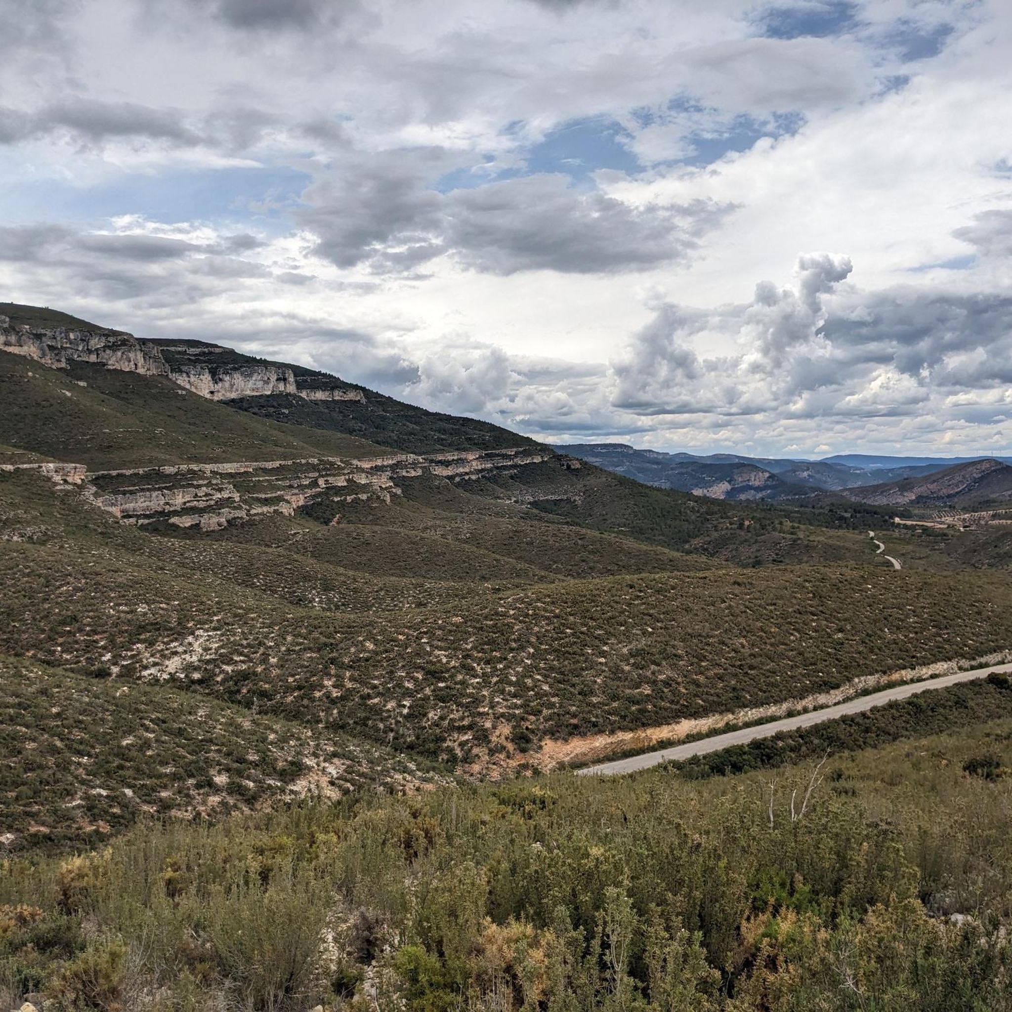
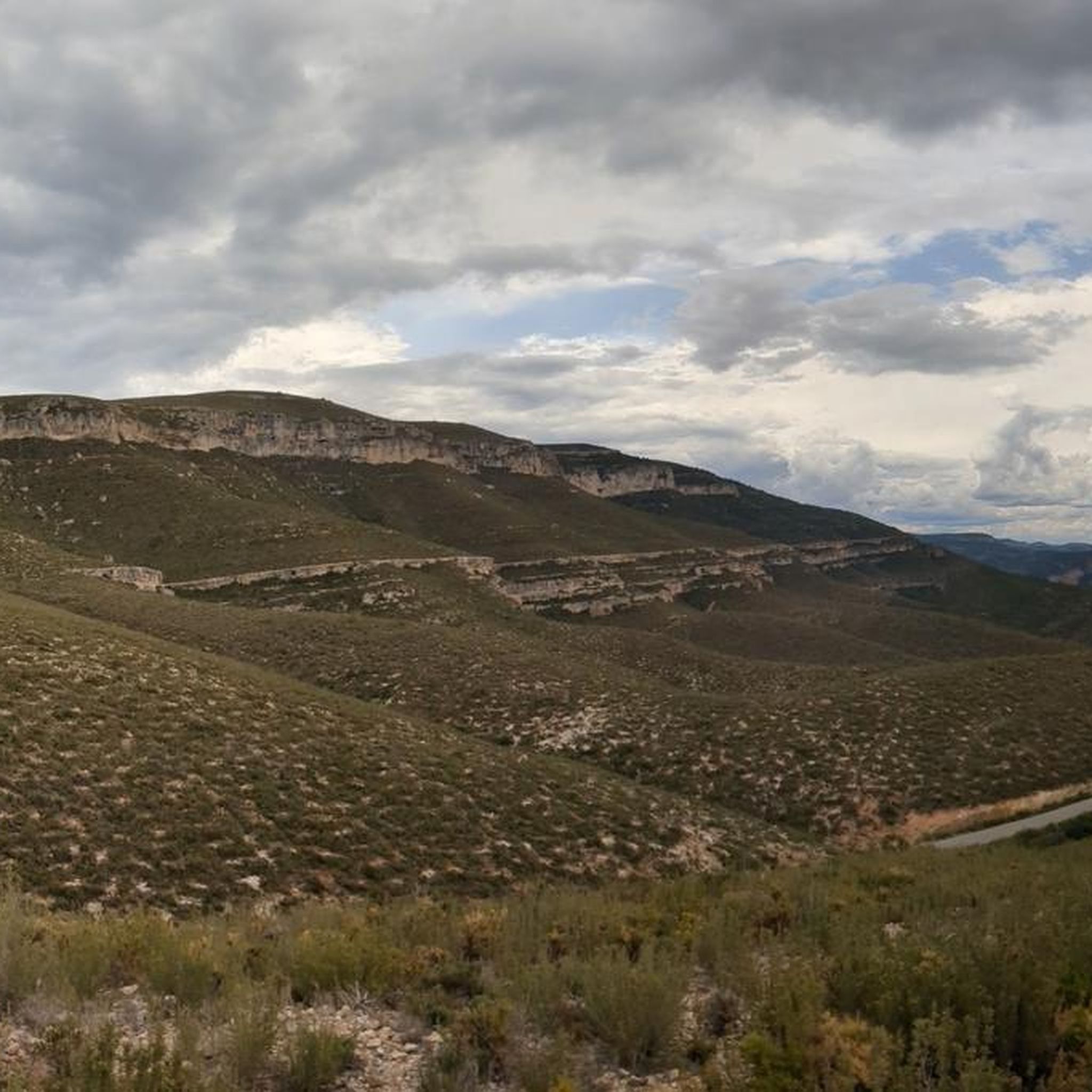
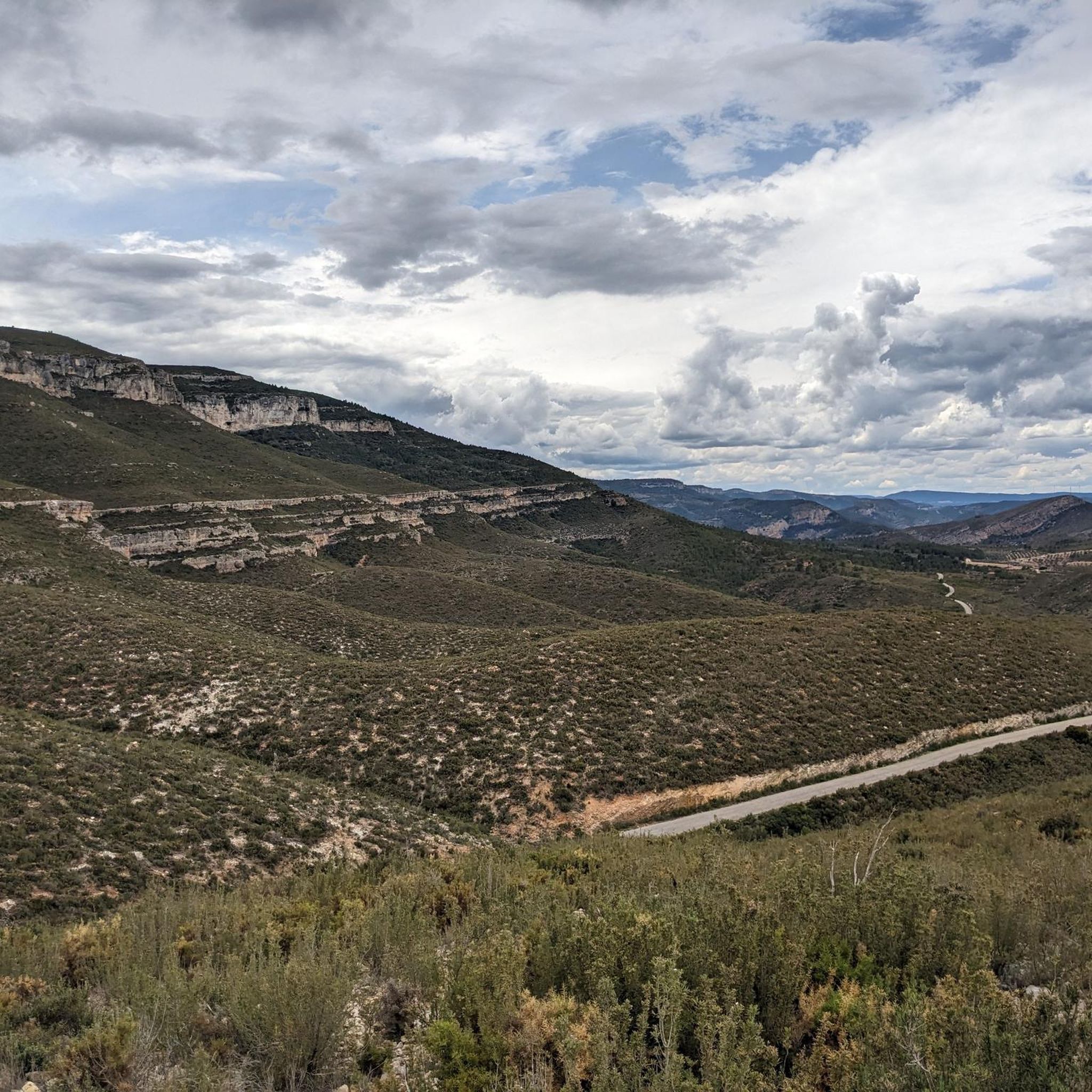
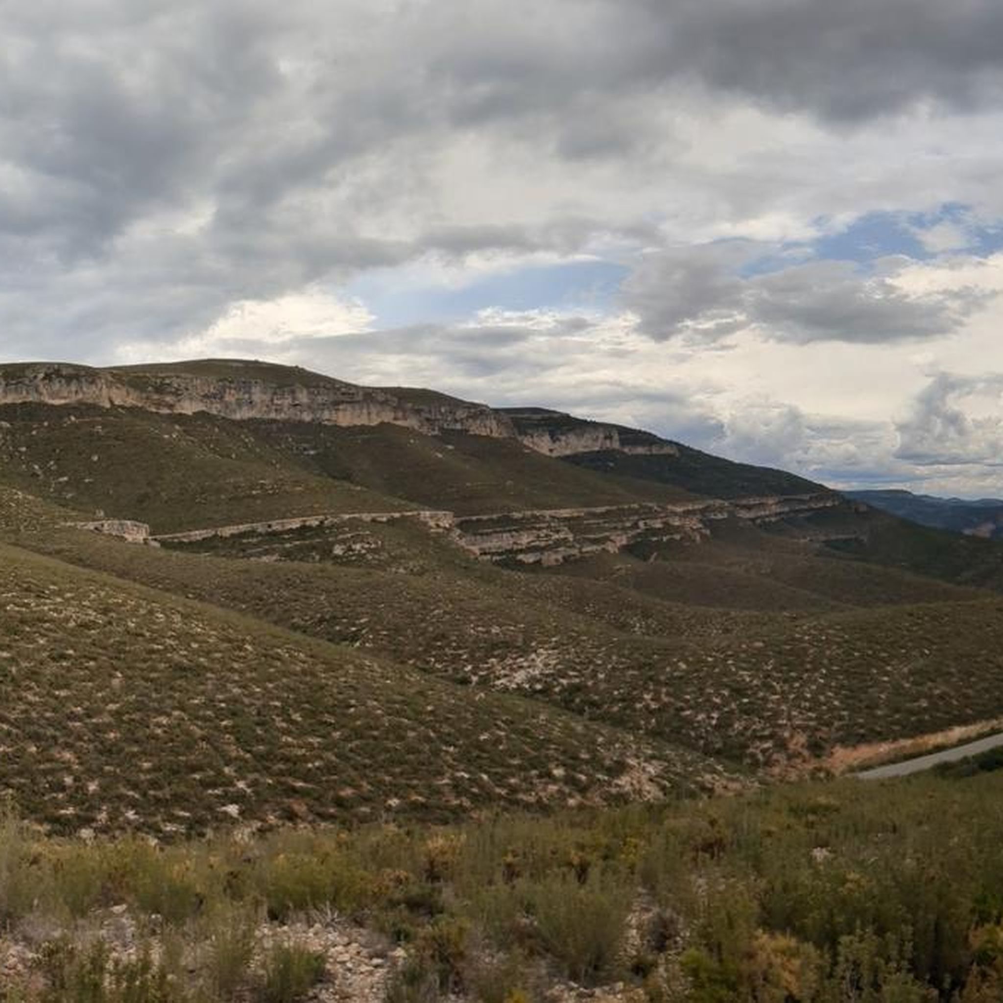
Tips from the Community

The pass begins when crossing the bridge over the Jucar river and ends when entering the town of Millares. It is 4.2 km at 4.3%
0
0

A virgin landscape with very steep slopes, especially from north to south.
1
0
Pleasant route through a virgin landscape, with very demanding elevation changes, especially if done in a north-south direction.
1
0

A highly recommended place to visit if you visit the Utiel Requena area and the Sierra del Martés. The climb is very pretty and offers good views.
0
0

The Mijares River rises at an altitude of 1,600 m in the Sierra de Gúdar mountain range, part of the Iberian System. The Mijares forms a 4,028 km² valley basin. After 156 km, the river flows into the Mediterranean Sea at Valencia.
0
0
Tremendous views of the area. It's worth climbing
1
0

Be careful, very steep concrete ramps
1
0
Concrete ramps with very hard inclines. But the views are worth it.
2
0
Frequently Asked Questions
How many mountain bike trails are available around Embalse de El Naranjero?
There are 8 mountain bike trails documented on komoot around Embalse de El Naranjero. These routes primarily cater to experienced riders, with 7 classified as difficult and 1 as moderate.
What is the typical difficulty level for mountain biking in this region?
Mountain biking around Embalse de El Naranjero is generally challenging. The terrain is rugged, featuring significant elevation changes, rocky sections, and loose stone. Most routes are classified as difficult, offering technical challenges for experienced riders.
Are there any circular mountain bike routes in the area?
Yes, several routes are circular. For example, the El Manquillo Forest Shelter – El Seco Spring loop from Alto del Carcamal is a difficult 48.7 km loop. Another option is La Tabarla — Circular from the Forata Reservoir, which covers 56.9 km through rugged landscapes.
What kind of views can I expect on the mountain bike trails?
The trails offer spectacular and continuous views. You'll frequently encounter breathtaking vistas of the Embalse de El Naranjero reservoir, the dramatic Júcar Canyon, and the surrounding valleys. Routes often ascend to high plateaus like the Muela de Cortes, providing panoramic scenery.
Are there any notable natural features or landmarks to see along the routes?
Yes, the region is rich in natural beauty and historical sites. You might encounter features like the El Corbinet Waterfall, the Tejador Cave, and the confluence of the Júcar and Cabriel rivers. Historically, you can spot Chirel Castle perched atop a mountain, adding to the scenic appeal.
What do other mountain bikers say about the trails in Embalse de El Naranjero?
The mountain bike trails in Embalse de El Naranjero are highly rated by the komoot community, with an average score of 4.0 stars from over 5 reviews. Riders often praise the challenging and diverse terrain, as well as the spectacular natural scenery, including the vast reservoir and dramatic canyons.
Are there any trails suitable for families or beginners?
The majority of mountain bike trails around Embalse de El Naranjero are classified as difficult, featuring technical sections and significant elevation changes. There is one moderate route available, but generally, the area is best suited for experienced riders looking for a challenge rather than beginners or young families.
Can I bring my dog on the mountain bike trails?
While specific regulations for dogs on mountain bike trails in this exact region are not detailed, it's generally advisable to keep dogs on a leash, especially in natural parks or protected areas, to protect wildlife and ensure safety on shared trails. Always check local signage for specific rules.
What is the best time of year to go mountain biking in Embalse de El Naranjero?
The region experiences a Mediterranean climate. Spring and autumn generally offer the most pleasant temperatures for mountain biking, avoiding the intense heat of summer and potential colder, wetter conditions in winter. Always check the local weather forecast before heading out.
Are there any long-distance mountain bike routes available?
Yes, several routes offer significant distances. For example, the Baixada de la Gitana – View of Dos Aguas loop from Dos Aguas is a difficult 56.5 km path, and Puerto de Millares – View of Dos Aguas loop from Millares covers 36.1 km.
What kind of terrain should I expect on the trails?
Expect a varied and challenging terrain. Trails often include rocky sections, loose stone, and can pass through dense pine forests and scrubland. Some paths follow old bridle paths with cobbled sections, while others feature technical downhill sections with berms, drops, and rock gardens.
Is there parking available near the trailheads?
While specific parking locations for every trailhead are not detailed, areas like Cortes de Pallás and other villages surrounding the reservoir typically offer parking facilities. It's recommended to plan your starting point and check for available parking in advance.
Most popular routes around Embalse de El Naranjero

Get inspired with the komoot mobile app


Explore more
Browse the best MTB trails in other regions.
