The best road cycling routes around Eugi Urtegia
4.3
(3)
226
riders
9
rides
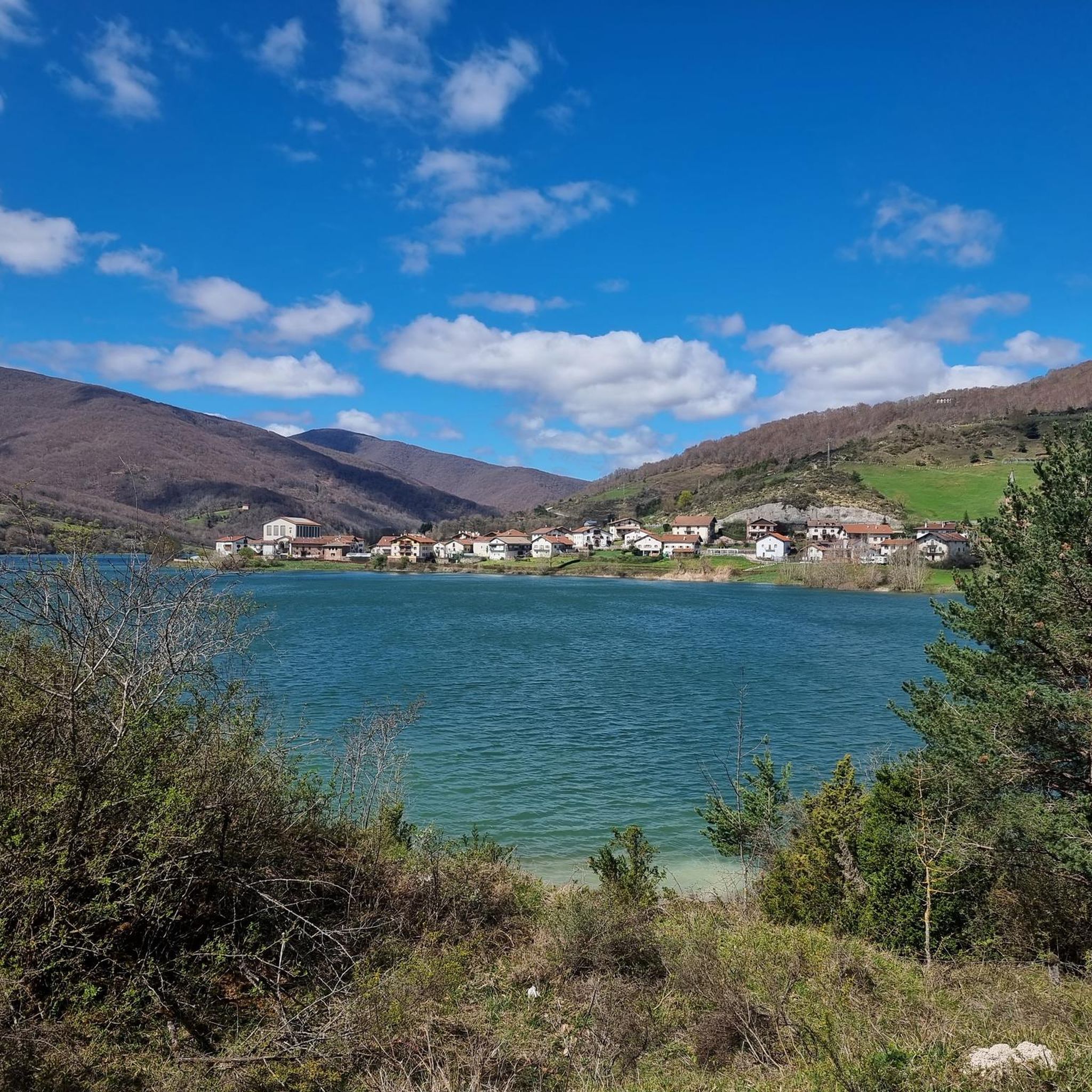
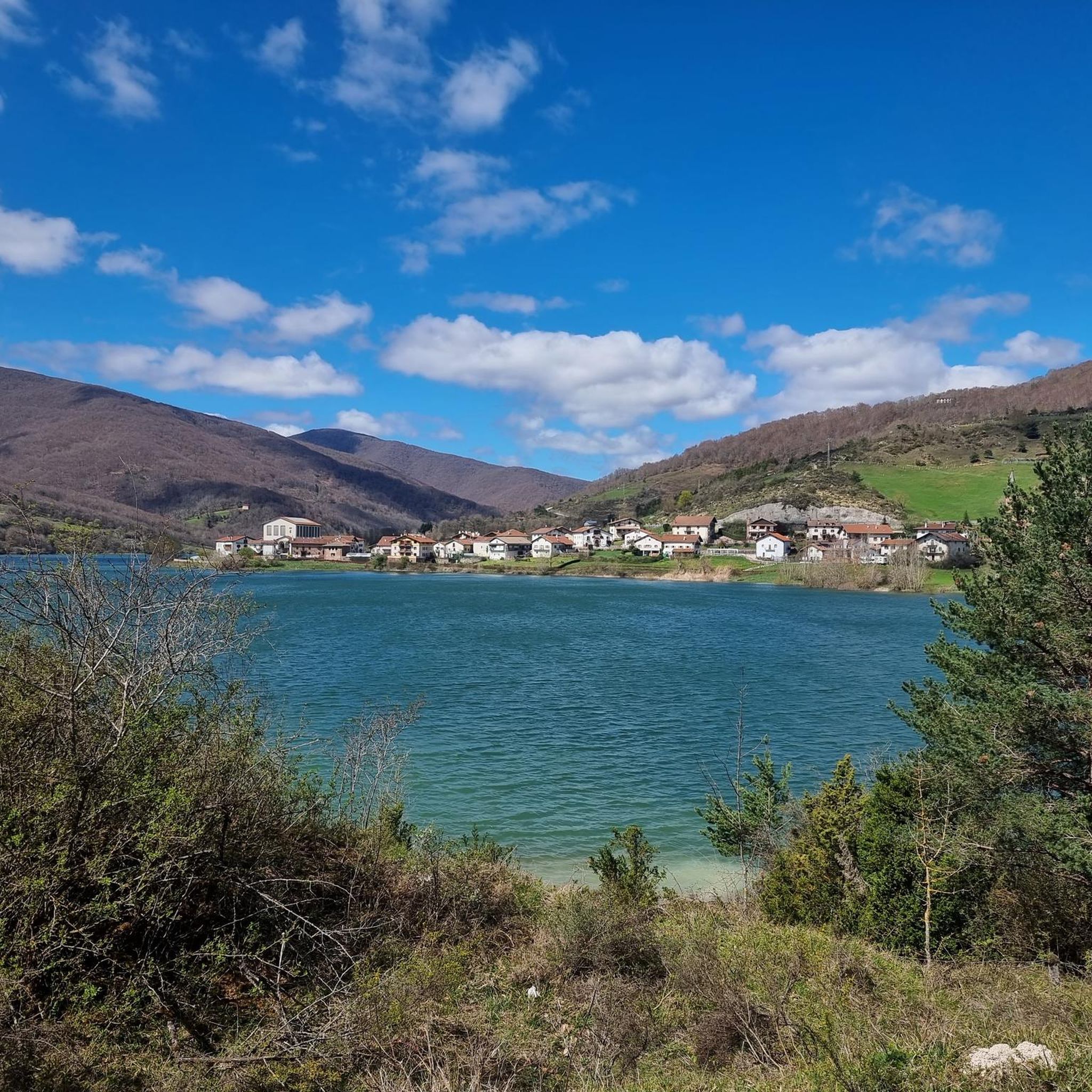
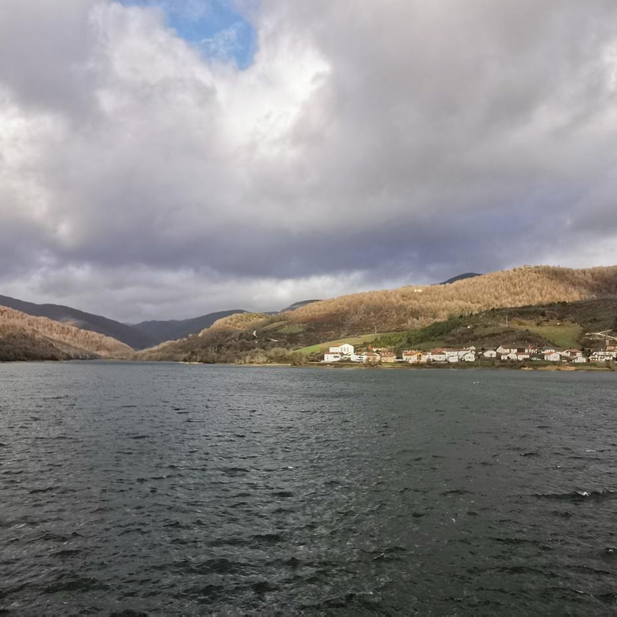
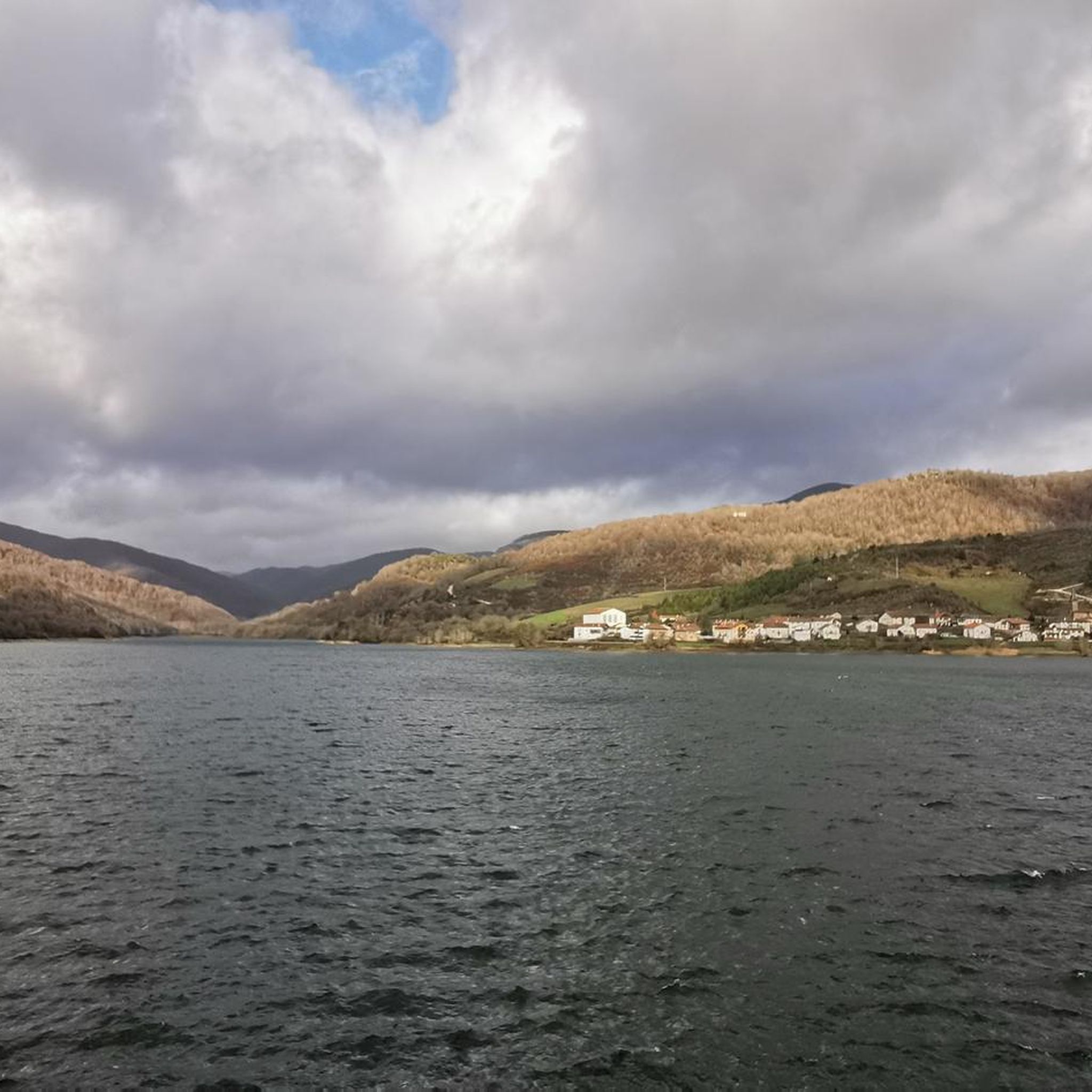
Road cycling around Eugi Urtegia is characterized by its location within the Pyrenees, featuring significant elevation changes and mountainous terrain. The region is centered around the Eugi Reservoir, offering routes that combine waterside sections with challenging climbs into the surrounding peaks. Road cyclists can expect varied landscapes, from dense forests to open mountain passes, with many routes traversing through the natural environment of the Pyrenean foothills.
Best road cycling routes around Eugi Urtegia
- The most popular road cycling route is Artesiaga Pass – Rabia Bridge, Zubiri loop from Zubiri, a 52.1 miles (83.8 km) trail that takes 4 hours 47 minutes to complete, featuring challenging ascents through mountainous terrain.
- Another top favourite among local road cyclists is Artesiaga Pass – Views of the Eugi reservoir loop from Zubiri, a moderate 32.0 miles (51.5 km) path offering scenic views of the Eugi reservoir and surrounding hills.
- Local road cyclists also love the Ibañeta Pass – Rabia Bridge, Zubiri loop from Zubiri, an 83.8 miles (134.8 km) trail leading through the Pyrenean landscape, often completed in about 8 hours 14 minutes.
- Road cycling around Eugi Urtegia is defined by mountain passes, reservoir views, and dense woodlands. The network offers options for different ability levels, from moderate loops to difficult, long-distance routes.
- The routes in Eugi Urtegia are highly rated by the komoot community with an average score of 4.0 stars from over 2 reviews. More than 200 road cyclists have used komoot to explore Eugi Urtegia's varied terrain.
Last updated: July 5, 2026
49
riders
51.4km
02:42
880m
880m
Moderate road ride. Good fitness required. Mostly well-paved surfaces and easy to ride.
32
riders
134km
08:12
3,210m
3,210m
Hard road ride. Very good fitness required. Some segments of this route may be unpaved and difficult to ride.

Sign up for free
3.0
(1)
16
riders
128km
06:58
2,380m
2,380m
Hard road ride. Very good fitness required. Some segments of this route may be unpaved and difficult to ride.
5.0
(1)
10
riders
30.5km
01:44
590m
590m
Moderate road ride. Good fitness required. Mostly well-paved surfaces and easy to ride.
6
riders
11.5km
00:40
260m
260m
Easy road ride. Great for any fitness level. Mostly well-paved surfaces and easy to ride.
Get access to more routes and recommendations from other explorers.
Sign up for free
Already have an account?
Our route recommendations are based on thousands of hikes, rides, and runs completed by other people on komoot.
Start today with a free account
Your next adventure awaits.
Login or Signup
Tips from the Community

The gas station shop is a full resupply if needed. They have ziplocks, toothbrushes, plenty of food, good cheeses and drinks. They have french canister fuel and are very friendly.
0
0

Starting point for several climbs that allow you to cross the border and reach Spain. It is a very quiet town where you can take a break and get water. I remember that on hot summer days... the heat is oppressive because there is a lot of humidity. It is a typical town in the area where you will also find some bars where you can have a drink.
0
0
The Metkiritz pass is a very easy and accessible climb that offers cyclists a pleasant experience with its spectacular natural landscapes. The road is in perfect condition although there is traffic as it is a national road. The views from the top are not attractive, although the surroundings are.
0
0
One of the most inhospitable and spectacular mountain passes in the eastern Pyrenees, with several slopes, all of them very difficult. The landscape is wild and wonderful. You can breathe absolute tranquility and you can dedicate yourself exclusively to enjoying the views, the horses, the sheep, the cows and the suffering on the bike. The summit is on the border with Spain, although there is no road that crosses the border, so the pass runs entirely in France. I have climbed it on 2 of its slopes. The first time I climbed it on the slope that crosses the Col d'Orgambide, on the D428 road, which starts from Estérençuby. The first 3 km are very easy, until you cross the detour to go up to Artaburu, where the road begins to have slopes of more than 10%. From there, to the summit, the climb is very hard, around 9%, on a very rough and bumpy road, with a lot of humidity and crossing a wonderful beech forest. Once you reach the top of the Col d'Orgambide, you turn right and continue climbing for another half kilometre with a gradient of 11%. There comes a small descent, to face the last 3 kms, the first 2 very hard with several 13% gradients. The last kilometre is very easy and has panoramic views that are simply wonderful. The second time I climbed it on the side that starts from Arneguy and Ondarolle. This side is harder than the previous one, with a central section that is hellish, being 6 kms at an average of 10%, and a very hard km at 12% and 18% gradients!!! The final part is more gentle. You cross the Croix de Thibault in the penultimate kilometre of the climb. The final kilometre is very gentle and with beautiful and exciting panoramic views.
1
0
It is a beautiful border pass between Spain and France, well known for being part of the most traditional route of the Camino de Santiago. Sportingly, the climb on both sides is easy, although on the French side it is much longer as it starts at a lower altitude. The Spanish side is just 6 km from Burguete, the last being the most difficult with an average gradient of 7%. On this side you pass the famous and well-known monastery of Roncesvalles. The French side is 18 km from Arnegui and an average gradient of 4%. The hardest part is 5 km from the summit, with one kilometre at 7%. The landscape on this side is of lush vegetation going up a very closed valley that hardly leaves room for views of the surrounding mountains. The road is very twisty. It is a port with very good asphalt and a lot of traffic in general... so, be careful!
1
0

After the town, the climb follows, here you can have another drink and take a deep breath... Beautiful little idyllic place.
2
0
Frequently Asked Questions
What is the general difficulty level for road cycling routes around Eugi Urtegia?
Road cycling in Eugi Urtegia is primarily characterized by challenging, mountainous terrain. Most routes feature significant elevation changes, with 5 out of 7 available routes rated as 'difficult'. There are also 2 'moderate' routes for those seeking a less strenuous ride.
Are there any moderate road cycling routes suitable for intermediate riders?
Yes, for intermediate riders, the region offers moderate options. A good choice is the Artesiaga Pass – Views of the Eugi reservoir loop from Zubiri, which is 32.0 miles (51.5 km) long and offers scenic views without the most extreme climbs.
What kind of distances can I expect on road cycling routes in Eugi Urtegia?
Routes vary significantly in length, catering to different endurance levels. You can find rides ranging from approximately 29 miles (46.7 km) like the Bizkarreta (SP) - Aldudes (FR) via Sorogain, up to extensive journeys of 83.8 miles (134.8 km) such as the Ibañeta Pass – Rabia Bridge, Zubiri loop from Zubiri.
Are there any circular road cycling routes in the Eugi Urtegia area?
Many of the road cycling routes around Eugi Urtegia are designed as loops, allowing you to start and finish in the same location. Examples include the challenging Artesiaga Pass – Rabia Bridge, Zubiri loop from Zubiri and the scenic Artesiaga Pass – Views of the Eugi reservoir loop from Zubiri.
What are the typical durations for road cycling tours in this region?
Due to the mountainous terrain and varying distances, durations can range from around 3 hours for shorter, difficult routes to over 8 hours for the longest and most challenging loops. For instance, the Ibañeta Pass – Rabia Bridge, Zubiri loop from Zubiri typically takes about 8 hours and 14 minutes.
What is the best time of year for road biking around Eugi Urtegia?
Given its location in the Pyrenees, the best time for road biking is generally from late spring through early autumn (May to October). During these months, the weather is more stable, and mountain passes are typically clear of snow, offering optimal conditions for cycling.
What kind of scenery can I expect on the road cycling routes?
The routes offer diverse Pyrenean landscapes. You'll experience a mix of dense forests, open mountain passes with panoramic views, and sections alongside the Eugi Reservoir. Many routes traverse through the natural environment of the Pyrenean foothills, providing a truly immersive experience.
Are there any particularly long and challenging road cycling routes for advanced riders?
Absolutely. Advanced riders looking for a significant challenge can tackle routes like the Ibañeta Pass – Rabia Bridge, Zubiri loop from Zubiri, which covers 83.8 miles (134.8 km) with over 3,200 meters of elevation gain, or the Aldudes Village – Rabia Bridge, Zubiri loop from Zubiri, a 128 km route with over 2,300 meters of climbing.
What do other road cyclists say about the routes in Eugi Urtegia?
The komoot community highly rates the road cycling experience in Eugi Urtegia, with an average score of 4.0 stars from over 2 reviews. Cyclists often praise the challenging ascents, the stunning Pyrenean scenery, and the varied terrain that combines waterside sections with mountain passes.
Are there options for road cyclists who want to explore routes crossing into France?
Yes, the border region offers routes that cross into France. For example, the Bizkarreta (SP) - Aldudes (FR) via Sorogain route takes you from Spain into the French village of Aldudes, offering an international cycling experience through the Pyrenees.
How many road cycling routes are available in the Eugi Urtegia area?
There are 7 distinct road cycling routes available around Eugi Urtegia, offering a range of distances and difficulties to suit various preferences.

Get inspired with the komoot mobile app


Explore more
Browse the best Road cycling routes in other regions.
