The best walks and hikes around Embalse del Castro de Las Cogotas
4.4
(63)
879
hikers
83
hikes
Hiking around Embalse del Castro de Las Cogotas offers trails primarily centered around the reservoir and its immediate surroundings in the province of Ávila. The landscape features the expansive waters of the embalse, with routes often traversing open terrain, agricultural fields, and low hills. The area provides opportunities for walks along the reservoir's edge, offering views of the water and the local countryside.
Best hiking trails around Embalse del Castro de Las Cogotas
- The most popular hiking route is La…
Last updated: July 9, 2026
5.29km
01:32
130m
130m
Easy hike. Great for any fitness level. Easily-accessible paths. Suitable for all skill levels.
9
hikers
3.79km
01:03
60m
70m
Easy hike. Great for any fitness level. Easily-accessible paths. Suitable for all skill levels.

Sign up for free
4.0
(5)
26
hikers
7.20km
01:55
70m
70m
This easy 4.5-mile (7.2 km) hiking route from Ávila takes you past the Convento de la Encarnación and the Fuentes Claras Dam.
17
hikers
16.9km
04:23
110m
110m
Moderate hike. Good fitness required. Easily-accessible paths. Suitable for all skill levels.
4.0
(2)
6
hikers
3.57km
01:01
80m
80m
Easy hike. Great for any fitness level. Easily-accessible paths. Suitable for all skill levels.
Get access to more routes and recommendations from other explorers.
Sign up for free
Already have an account?
Our route recommendations are based on thousands of hikes, rides, and runs completed by other people on komoot.
Start today with a free account
Your next adventure awaits.
Login or Signup
Popular around Embalse del Castro de Las Cogotas


Tips from the Community

The visit to the medieval city wall from the 11th-14th century is highly recommended with its 88 towers and 9 city gates - the entrance fee is justified, a large part of the city wall is accessible. Unfortunately, there were too few audio guides - we didn't have any. You have grandiose views of the Congress Hall, the Carmelite Convent of San José (place of activity of St. Teresa in the 16th century), the Cathedral, the Romanesque Church of San Vicente and into the nearby mountains.
0
0

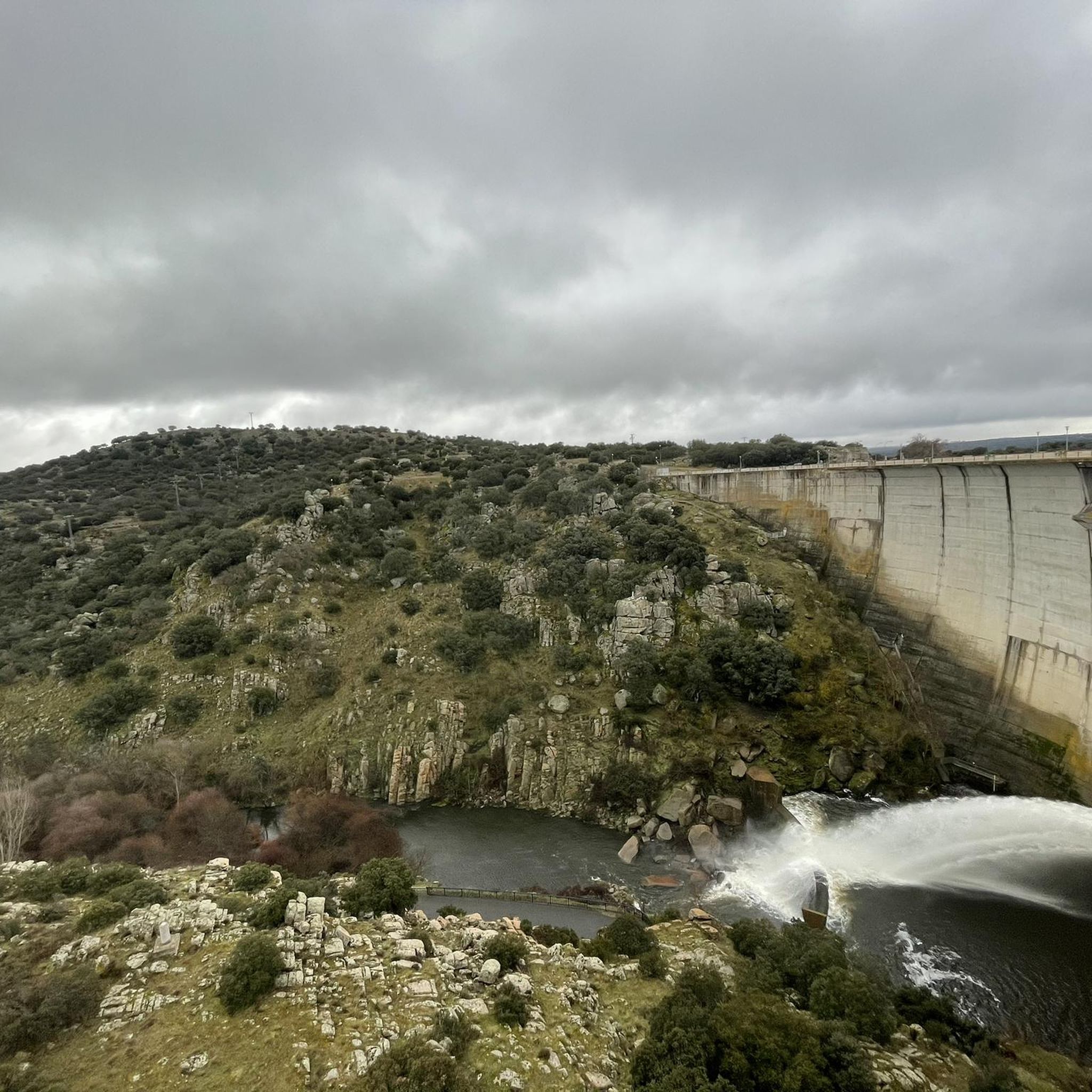
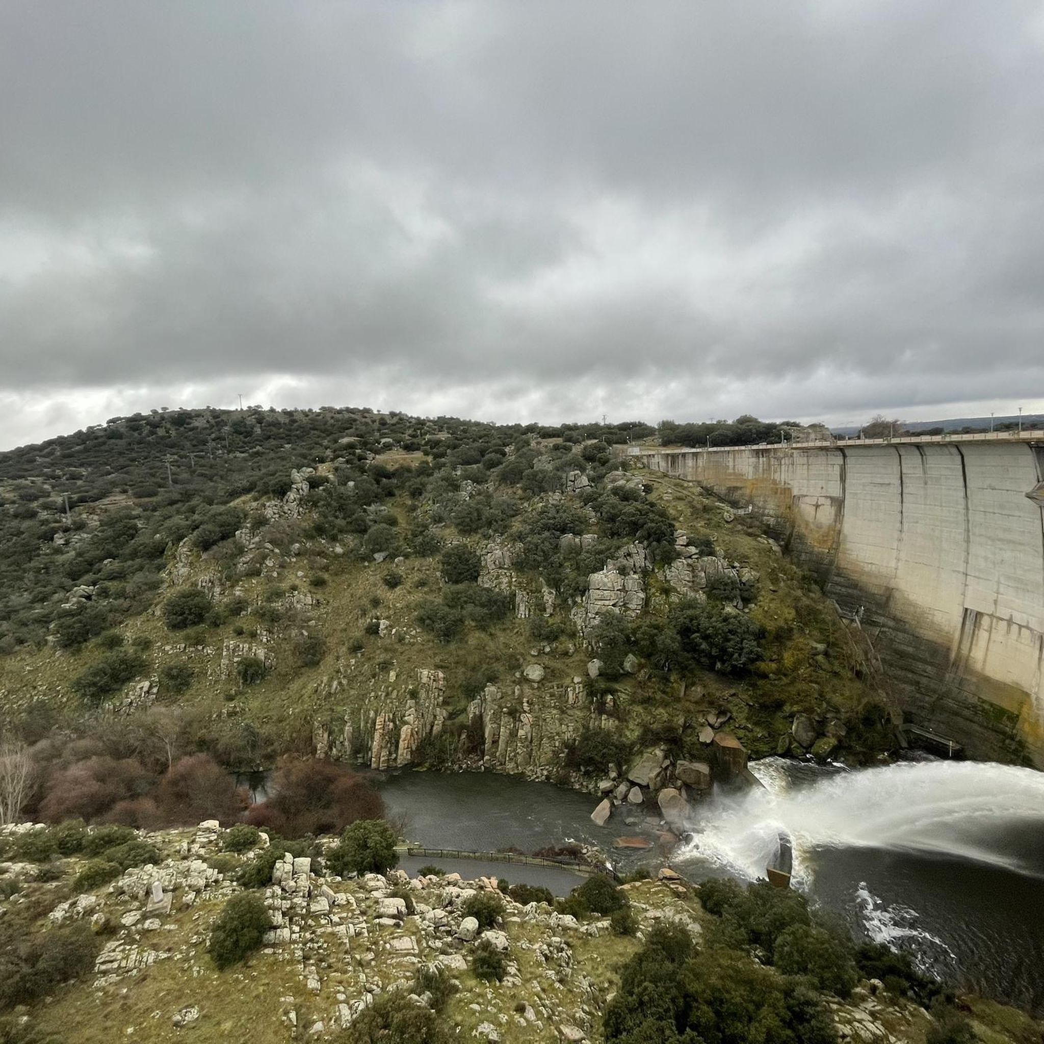
The Castro de las Cogotas reservoir dam, located in the province of Ávila, offers spectacular views that combine engineering, nature, and archaeology.
1
0
The Monument to Saint Teresa of Jesus next to the Puerta del Alcázar in Ávila is one of the city's most iconic sculptures. It is located in the Plaza del Mercado Grande, right next to the Puerta del Alcázar, one of the most famous entrances to the walls of Ávila. The monument was created by sculptor Juan Luis Vassallo. The main figure shows Saint Teresa holding a quill pen, alluding to her work as a writer.
2
0
The Castro de Las Cogotas, located in the municipality of Cardeñosa (Ávila), is one of the most emblematic Iron Age archaeological sites on the Iberian Peninsula, especially linked to the Vetton people. It is situated on a hill next to the Adaja River, surrounded by holm oak groves, pastures, and fertile land. This location offered defensive advantages and abundant natural resources. The fort is open to the public and has an Interpretation Center that explains its history and characteristics. Periodic archaeological conferences are also held on the site.
2
0
The Basilica of San Vicente in Ávila is one of the finest examples of Romanesque architecture in Spain. Built between the 12th and 14th centuries, this basilica is dedicated to the martyrs Vicente, Sabina, and Cristeta. According to tradition, these brothers were martyred in 306 during the Diocletian persecution. The basilica is also known for its cenotaph, a funerary monument depicting the legend of the martyrs and the repentance of the Jew responsible for their deaths.
15
0
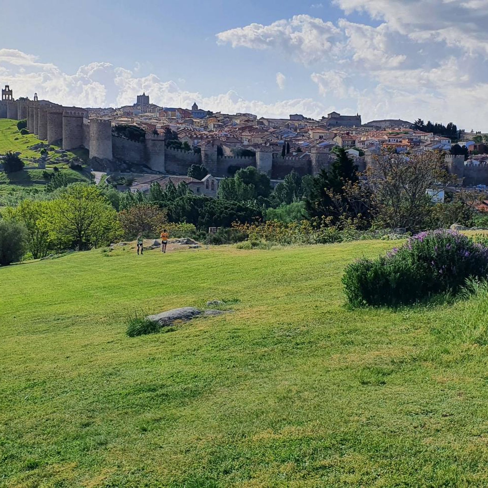
The Walls of Ávila are one of the city's most emblematic monuments and a prominent example of medieval military architecture. Built between the 11th and 14th centuries, this impressive fortification surrounds Ávila's old town and stretches for 2,515 meters. The wall has 87 towers and 9 gates, the Puerta del Alcázar and Puerta de San Vicente being the most famous.
1
0
The Alcázar Gate is one of the most impressive entrances to the Ávila wall. Located to the east of the walled area, it is distinguished by its two large towers, each over 20 meters high, connected by a semicircular arch. This gate was one of the first to be built, along with the San Vicente Gate, and retains its Romanesque style.
5
0
The bridge over the Fuentes Claras Reservoir is part of the landscape and offers spectacular views of the natural surroundings.
11
0
Frequently Asked Questions
How many hiking trails are available around Embalse del Castro de Las Cogotas?
There are over 80 hiking trails to explore around Embalse del Castro de Las Cogotas, offering a variety of options for different preferences and skill levels.
Are there easy hiking trails suitable for beginners or families?
Yes, the area features numerous easy trails. About half of the routes, 46 to be precise, are classified as easy. A great option for a relaxed walk is the La Presa del Embalse to Castro de las Cogotas — circular route, which is 3.3 miles (5.3 km) long and takes about 1 hour 31 minutes.
What kind of scenery can I expect on the hikes?
Hikes around Embalse del Castro de Las Cogotas typically feature expansive views of the reservoir, open terrain, agricultural fields, and low hills. Many routes follow the water's edge, providing scenic vistas of the embalse and the surrounding countryside.
Are there any historical landmarks or points of interest along the trails?
Yes, some routes incorporate historical elements. For instance, the Ávila City Walls – Puerta del Alcázar of Ávila loop from Ávila offers a unique urban and architectural experience exploring the historic city walls of Ávila.
Are there any circular walks available?
Absolutely. Many trails in the area are designed as circular routes, allowing you to start and end at the same point. The Southeastern Way of St. James and Teresian Route Loop is a 4.5-mile (7.2 km) circular trail that takes you through historical pilgrimage paths.
What is the best time of year to go hiking in this region?
The best time to hike around Embalse del Castro de Las Cogotas is generally during spring and autumn when temperatures are milder. Summers can be very hot, and winters can be chilly, though hiking is possible year-round with appropriate gear.
Are there any moderate or more challenging hikes?
While there are no routes classified as difficult, there are 42 moderate trails for those seeking a bit more challenge. An example is the El Fresno from Ávila — circular by the río Adaja, which is a longer 10.5-mile (16.9 km) route.
Is parking available near the trailheads?
Parking is generally available at or near the main access points to the reservoir and trailheads. It's advisable to check specific starting points for designated parking areas, especially for popular routes.
Can I reach the hiking trails by public transport?
Public transport options directly to the Embalse del Castro de Las Cogotas trails may be limited. It is often more convenient to reach the area by car, especially if you plan to explore various trailheads around the reservoir. However, some routes, like those near Ávila, might be accessible via local bus services to the city.
What do other hikers enjoy most about the trails here?
The area is highly rated by the komoot community, with an average score of 4.4 stars from over 50 reviews. Hikers frequently praise the peaceful reservoir-side paths, the open countryside views, and the historical routes that offer a blend of nature and culture.
Are dogs allowed on the hiking trails?
Generally, dogs are permitted on hiking trails in this region, especially in open countryside areas. However, it's always recommended to keep them on a leash, especially near livestock or in protected natural areas, and to clean up after them. Specific regulations might apply to certain sections or nature reserves, so check local signage.
What should I wear for hiking in this area?
Given the open terrain and potential for varying weather, it's best to wear comfortable hiking shoes, layered clothing, and sun protection (hat, sunscreen) regardless of the season. A waterproof jacket is also advisable, especially during spring and autumn, as conditions can change quickly.
Most popular routes around Embalse del Castro de Las Cogotas

Get inspired with the komoot mobile app


Explore more
Browse the best Hikes in other regions.
