The best MTB trails around Embalse de Navacerrada
4.5
(861)
6,836
riders
219
rides
Mountain bike trails around Embalse de Navacerrada are situated within the Sierra de Guadarrama, characterized by pine forests, streams, and significant elevation changes. The terrain offers a mix of completely cyclable paths and sections with stones and roots, providing varied challenges. The region features views of the Embalse de Navacerrada reservoir and surrounding mountain ranges, including the Maliciosa.
Best mountain bike trails around Embalse de Navacerrada
- The most popular mountain bike trail is Air Force Reservoir – Mingo Fountain loop from Navacerrada, a 11.6 miles (18.7 km) trail that takes 1 hour 58 minutes to complete. This difficult route features significant ascents and descents through varied terrain.
- Another top favourite among local mountain bikers is Path through pine forests – Cercedilla train station loop from Navacerrada, a moderate 24.5 miles (39.4 km) path. This route leads through extensive pine forests with scenic views of the surrounding landscape.
- Local mountain bikers also love the San Isidro Hermitage – Santillana Reservoir Bridge loop from Navacerrada, a 24.4 miles (39.3 km) trail leading through diverse landscapes with views of the reservoir, often completed in about 3 hours 9 minutes.
- Mountain biking around Embalse de Navacerrada is defined by pine forests, reservoir views, and rocky sections within the Sierra de Guadarrama. The network offers options for different ability levels, from moderate paths to difficult technical singletracks.
- The routes in Embalse de Navacerrada are highly rated by the komoot community with an average score of 4.6 stars from more than 750 reviews. More than 7000 mountain bikers have used komoot to explore Embalse de Navacerrada's varied terrain.
Last updated: October 13, 2026
4.2
(5)
98
riders
54.4km
05:19
1,550m
1,550m
Hard mountain bike ride. Very good fitness required. Advanced riding skills necessary. Some portions of the route may require you to push your bike.
4.5
(2)
13
riders
Moderate mountain bike ride. Good fitness required. Suitable for all skill levels.

4.4
(5)
47
riders
17.0km
01:52
560m
550m
Hard mountain bike ride. Good fitness required. Advanced riding skills necessary. Some portions of the route may require you to push your bike.
4.6
(11)
32
riders
24.6km
01:54
330m
330m
Moderate mountain bike ride. Good fitness required. Suitable for all skill levels.
18
riders
29.7km
02:38
510m
510m
Hard mountain bike ride. Good fitness required. Advanced riding skills necessary. Some portions of the route may require you to push your bike.
Get access to more routes and recommendations from other explorers.
Already have an account?
Our route recommendations are based on thousands of hikes, rides, and runs completed by other people on komoot.
Start today with a free account
Your next adventure awaits.

Tips from the Community

Key Facts: Cela Sundial Location: It is located in the Pradera de Navarrulaque (Cercedilla), at an altitude of about 1,670 meters, right on the Carretera de la República. History: Inaugurated in 1995, it is a tribute to the writer (a great lover of the mountains and author of Cuadernos del Guadarrama) and to the first hikers who traversed these mountains. Curiosity: It is an analemmatic sundial. This means it does not have a fixed needle; you are the clock yourself. You have to stand on the current date marked on the ground, and your own shadow will indicate the time on the stone pieces surrounding you. Surroundings: It is on a beautiful route that passes by the Ducha de los Alemanes and the Miradores de los Poetas. I love this sundial in honor of Cela. It's super original because you interact with it to know the time. It's in a privileged spot in the Sierra de Cercedilla, surrounded by pine trees and with a lot of peace. A "rural monument" with a lot of charm that I never tire of visiting on my hikes through the Valle de la Fuenfría.
0
0

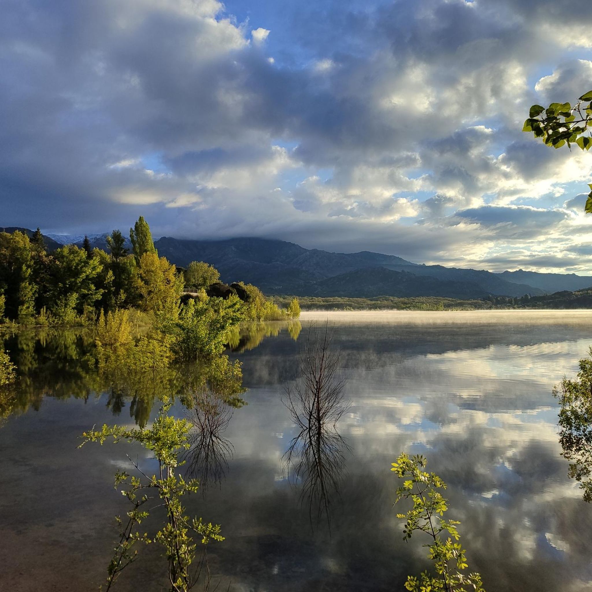
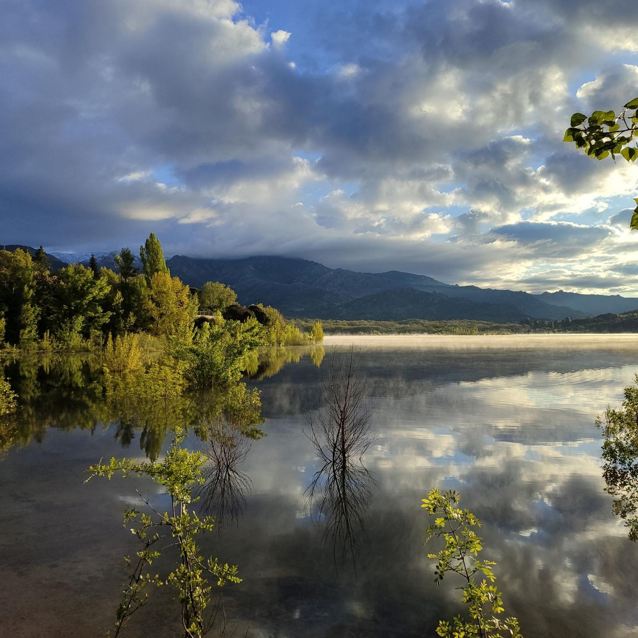
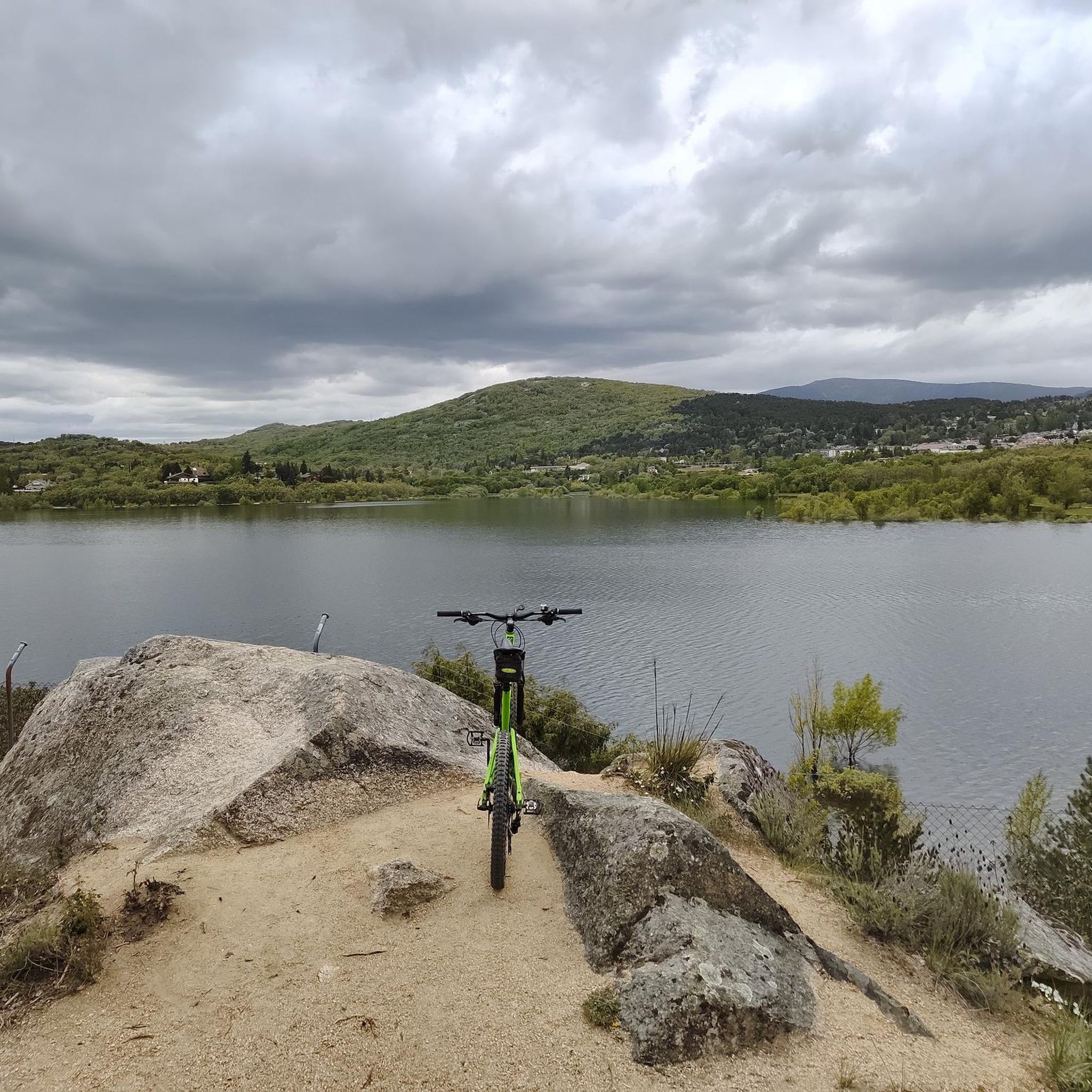
From the path that surrounds the Navacerrada reservoir, we will always have beautiful views.
0
0
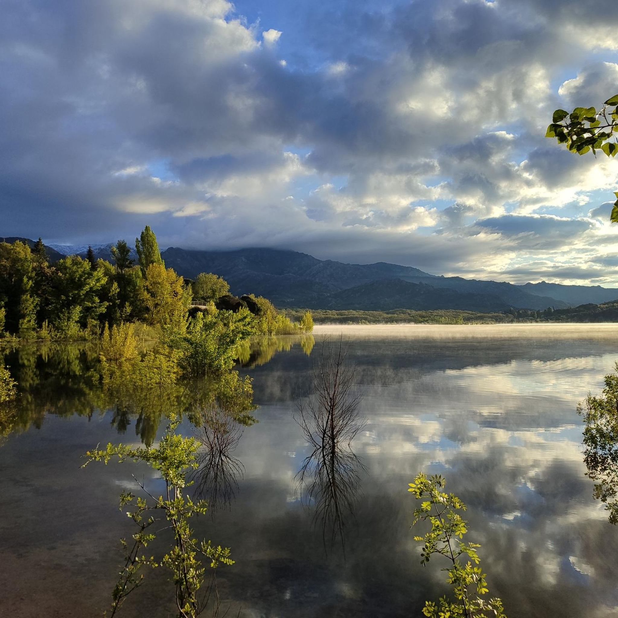
This reservoir is located in the beautiful Barranca valley
0
0
Beautiful chapel located on the road between Manzanares and Matalpino
0
0
The Puente de las Cuevas (Cave Bridge) is a stone bridge built to carry the Madrid-Segovia railway line, which is still in operation. Its construction allowed livestock from Guadarrama and Los Molinos to cross from one side to the other. It is crossed by the Arroyo de la Peñota (Peñota Stream), a tributary of the Guadarrama River. Currently, the bridge is closed off by a fence.
0
0

Eternal testament to the love for the forests of the Sierra
0
0

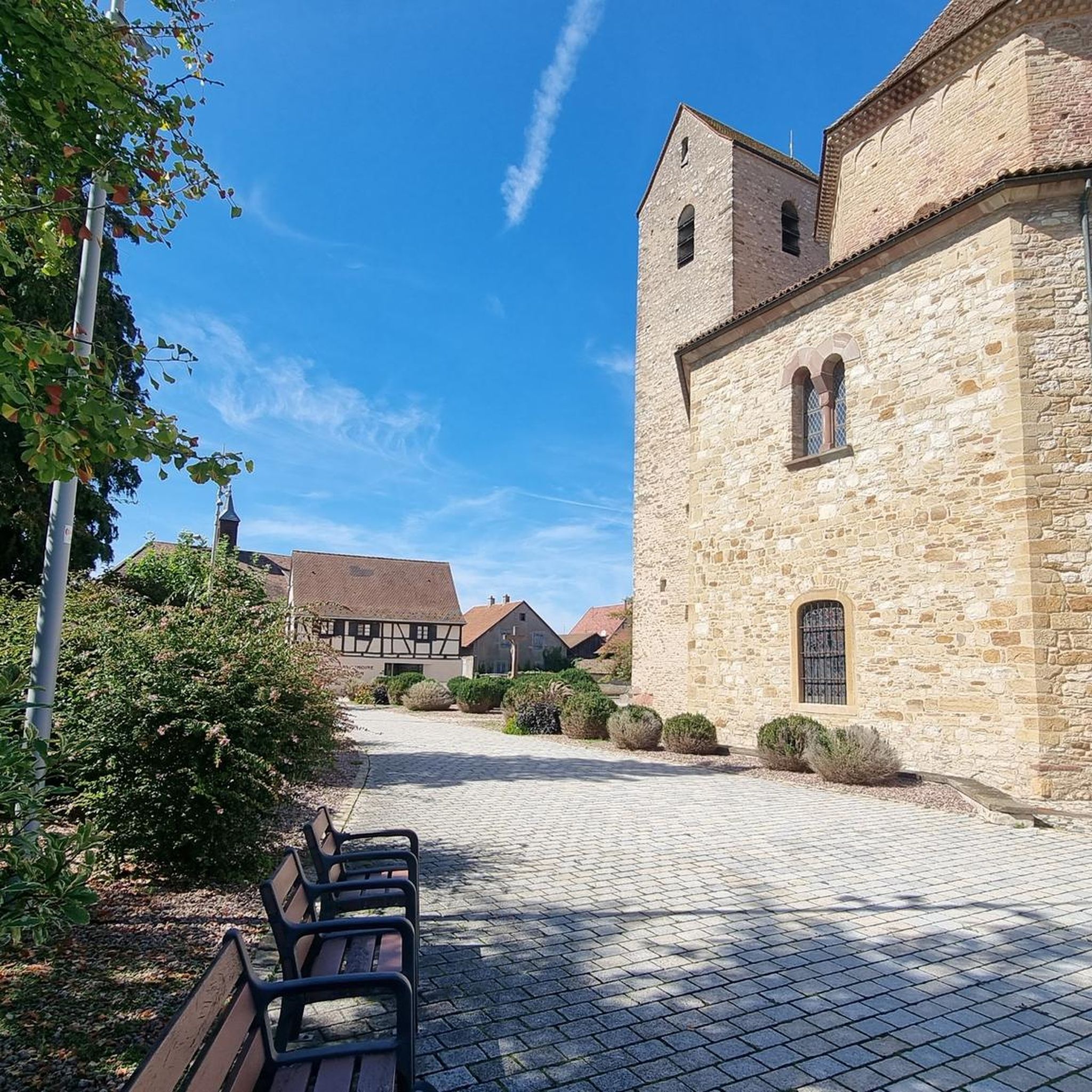
At the foot of the significant Peña Mediodía peak, and next to the ecological recreational area of the same name, the Hermitage of San Isidro is located on the slopes of El Boalo, very close to the town center. It is situated in a unique and enviable setting, surrounded by magnificent landscapes.
0
0
The Mirador de las Canchas is one of the most outstanding panoramic points in the Sierra de Guadarrama, located in the Barranca Valley, within the municipality of Navacerrada, Madrid. From this viewpoint, located at an altitude of approximately 1,754 meters, you can enjoy stunning views of iconic mountains such as La Maliciosa and La Bola del Mundo, as well as the extensive pine forest in the valley and, on clear days, even the city of Madrid in the distance. The route to reach the viewpoint is of moderate difficulty and begins at the La Barranca parking lot. The route, approximately 9 kilometers round trip, runs mainly along a forest track with a gradient of approximately 350 meters, making it accessible to most hikers. During the ascent, you will cross lush pine forests and pass near landmarks such as the Fuente de la Campanilla and the remains of the old Guadarrama Sanatorium.
0
0
Frequently Asked Questions
How many mountain bike trails are there around Embalse de Navacerrada?
There are over 200 mountain bike routes available around Embalse de Navacerrada. These trails cater to various skill levels, with 59 easy, 61 moderate, and 106 difficult options.
What kind of terrain can I expect on mountain bike trails in this region?
The terrain around Embalse de Navacerrada is diverse, featuring pine forests, streams, and significant elevation changes within the Sierra de Guadarrama. You'll find a mix of completely cyclable paths, as well as sections with stones, roots, and rocky 'pedrolera' areas, offering varied challenges and technical singletracks.
What are the best times of year for mountain biking around Embalse de Navacerrada?
Spring and summer are generally considered the best times to enjoy mountain biking around Embalse de Navacerrada, allowing riders to fully appreciate the natural surroundings. The region offers an incredible environment year-round, but these seasons provide optimal conditions.
Are there any family-friendly mountain bike routes near Embalse de Navacerrada?
Yes, there are 59 easy routes suitable for families or beginners. While specific family-friendly routes aren't detailed, the presence of many easy trails suggests options for less experienced riders. Always check the route details for suitability before heading out.
Can I bring my dog on the mountain bike trails?
While the region is popular for outdoor activities, specific regulations regarding dogs on mountain bike trails within the Sierra de Guadarrama National Park can vary. It's always best to check local signage or the park's official guidelines regarding pets to ensure a pleasant and compliant ride.
What interesting landmarks or viewpoints can I see along the mountain bike trails?
Many routes offer stunning views of the Embalse de Navacerrada reservoir and the majestic Maliciosa mountain range. You can also pass by the Navacerrada Reservoir Dam, ride along the Shore of the Navacerrada Reservoir, or experience the Ascent to the Navacerrada Pass. Some trails even offer glimpses of the legendary Bola del Mundo.
Are there any circular mountain bike routes available?
Yes, many routes in the area are designed as loops. For example, the moderate Path through pine forests – Navacerrada Reservoir loop from Navacerrada is a 24.1 km circular trail. Another option is the difficult Views of La Pedriza – San Isidro Hermitage loop from Navacerrada, covering 29.7 km.
What do other mountain bikers enjoy most about mountain biking in Embalse de Navacerrada?
The area is highly rated by the komoot community, with an average score of 4.6 stars from over 750 reviews. Riders often praise the diverse terrain, the scenic views of the reservoir and mountains, and the extensive network of trails that cater to different ability levels, from moderate paths to challenging technical singletracks.
Are there any challenging mountain bike trails for experienced riders?
Absolutely. The region boasts 106 difficult routes for experienced mountain bikers. Trails like the Air Force Reservoir – Mingo Fountain loop from Navacerrada offer significant ascents and descents through varied, demanding terrain. The 'Senda Ortiz' is known for its roots and rocks, and 'Las Canchas' features a rocky, intricate trail with impressive valley views.
Is it possible to reach the mountain bike trails using public transport?
The nearby mountain village of Navacerrada serves as a great base for exploring the surrounding natural environment. While specific public transport links directly to trailheads are not detailed, the village's proximity suggests it may be accessible via public transport, from which trails can be reached.
What is the longest mountain bike route I can find in the area?
Among the listed routes, the Path through pine forests – Cercedilla train station loop from Navacerrada is one of the longest, covering 39.4 km. Another substantial option is the San Isidro Hermitage – Santillana Reservoir Bridge loop from Navacerrada, which is 39.3 km long.
Are there any routes that offer views of La Pedriza?
Yes, the difficult Views of La Pedriza – San Isidro Hermitage loop from Navacerrada is specifically designed to offer vistas of the stunning La Pedriza rock formations, making it a popular choice for those seeking dramatic landscapes.
Most popular routes around Embalse de Navacerrada
Most popular attractions around Embalse de Navacerrada

Get inspired with the komoot mobile app


Explore more
Browse the best MTB trails in other regions.
