The best walks and hikes around Hulcote And Salford
4.6
(1350)
9,460
hikers
539
hikes
Hiking around Hulcote and Salford offers opportunities to explore a landscape characterized by a mix of arable land, grassland, and woodland. The area features a clay soil base from the Oxford Clay Formation, with alluvium along watercourses. A small stream, a tributary of the River Ouzel, flows through the parish, creating diverse vegetation. Elevations range from 250 feet along the stream to 386 feet in the north-east, providing gentle inclines and descents.
Best hiking trails around Hulcote And Salford
- The…
Last updated: July 6, 2026
4.5
(2)
15
hikers
Easy hike. Great for any fitness level. Easily-accessible paths. Suitable for all skill levels.
4.0
(2)
6
hikers
9.24km
02:28
100m
100m
Moderate hike. Good fitness required. Easily-accessible paths. Suitable for all skill levels.

Sign up for free
3
hikers
5.47km
01:28
60m
60m
Easy hike. Great for any fitness level. Easily-accessible paths. Suitable for all skill levels.
6
hikers
7.56km
02:02
90m
90m
Moderate hike. Good fitness required. Easily-accessible paths. Suitable for all skill levels.
4.0
(1)
3
hikers
7.00km
01:47
20m
20m
Easy hike. Great for any fitness level. Easily-accessible paths. Suitable for all skill levels.
Get access to more routes and recommendations from other explorers.
Sign up for free
Already have an account?
Our route recommendations are based on thousands of hikes, rides, and runs completed by other people on komoot.
Start today with a free account
Your next adventure awaits.
Login or Signup
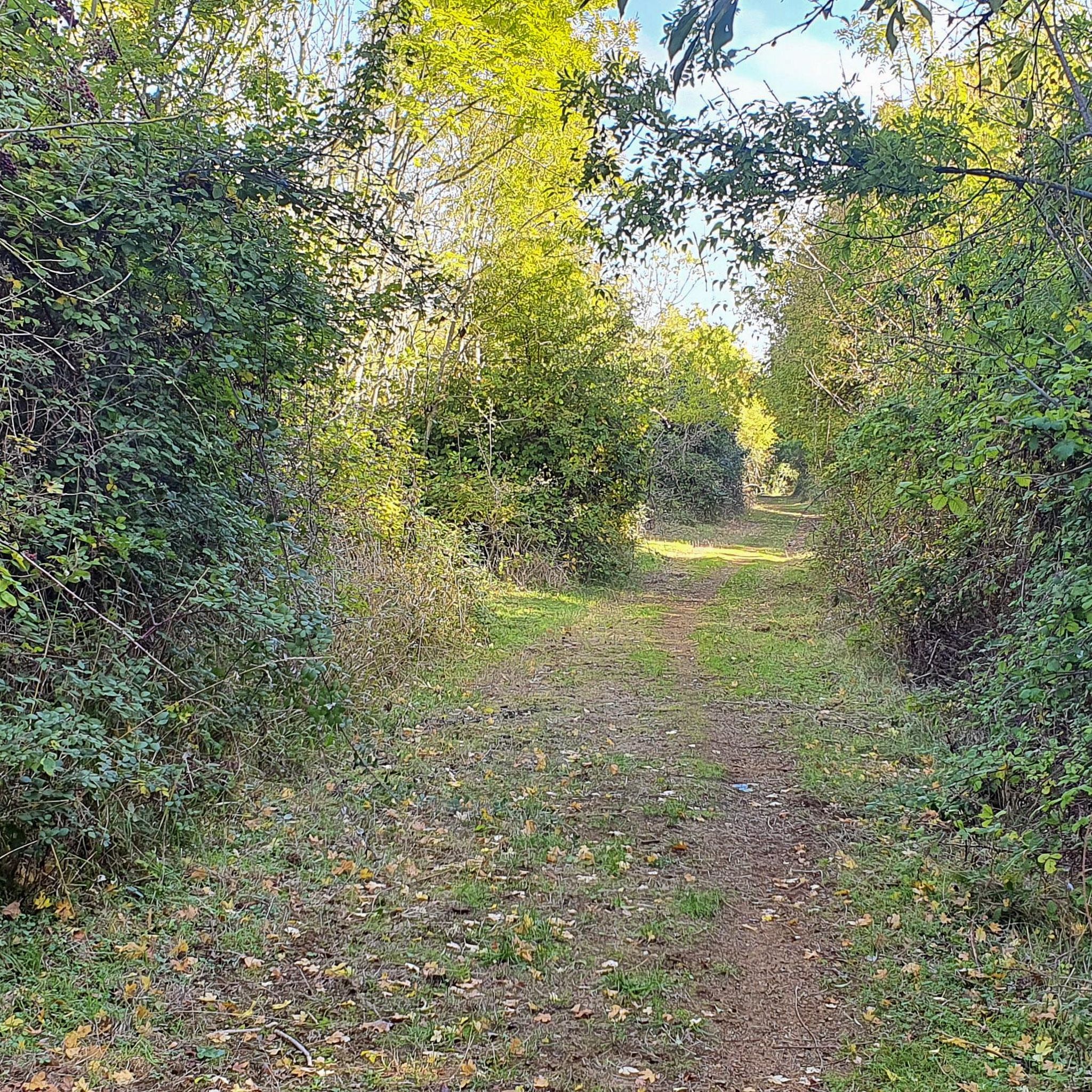
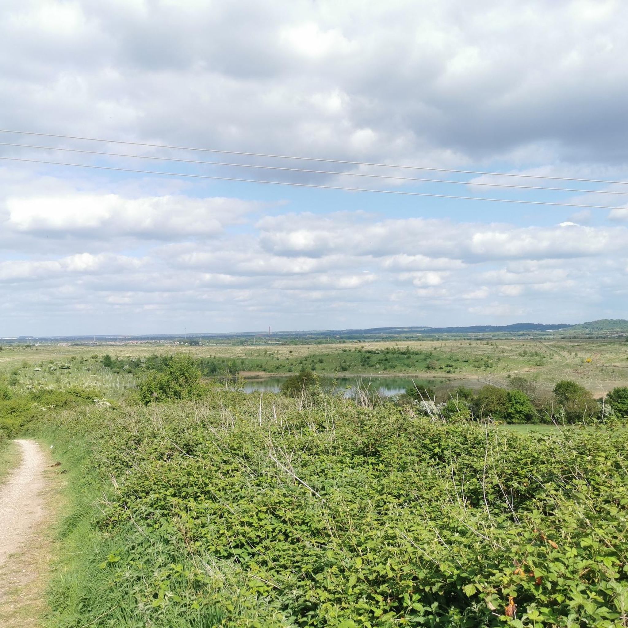
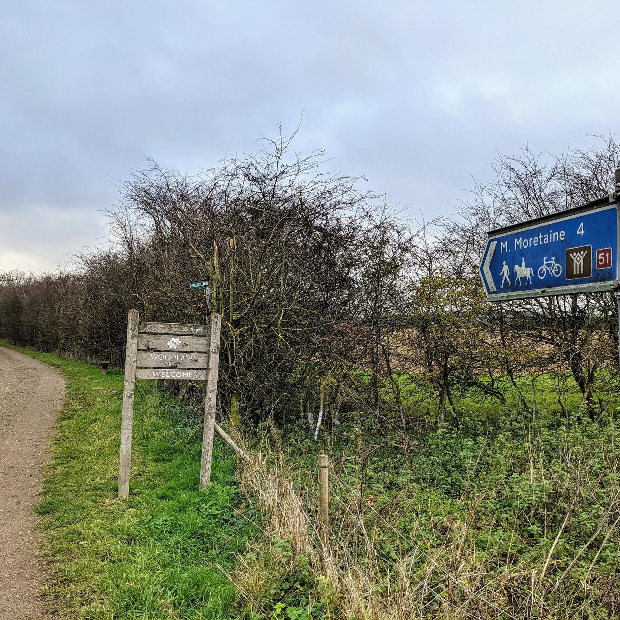
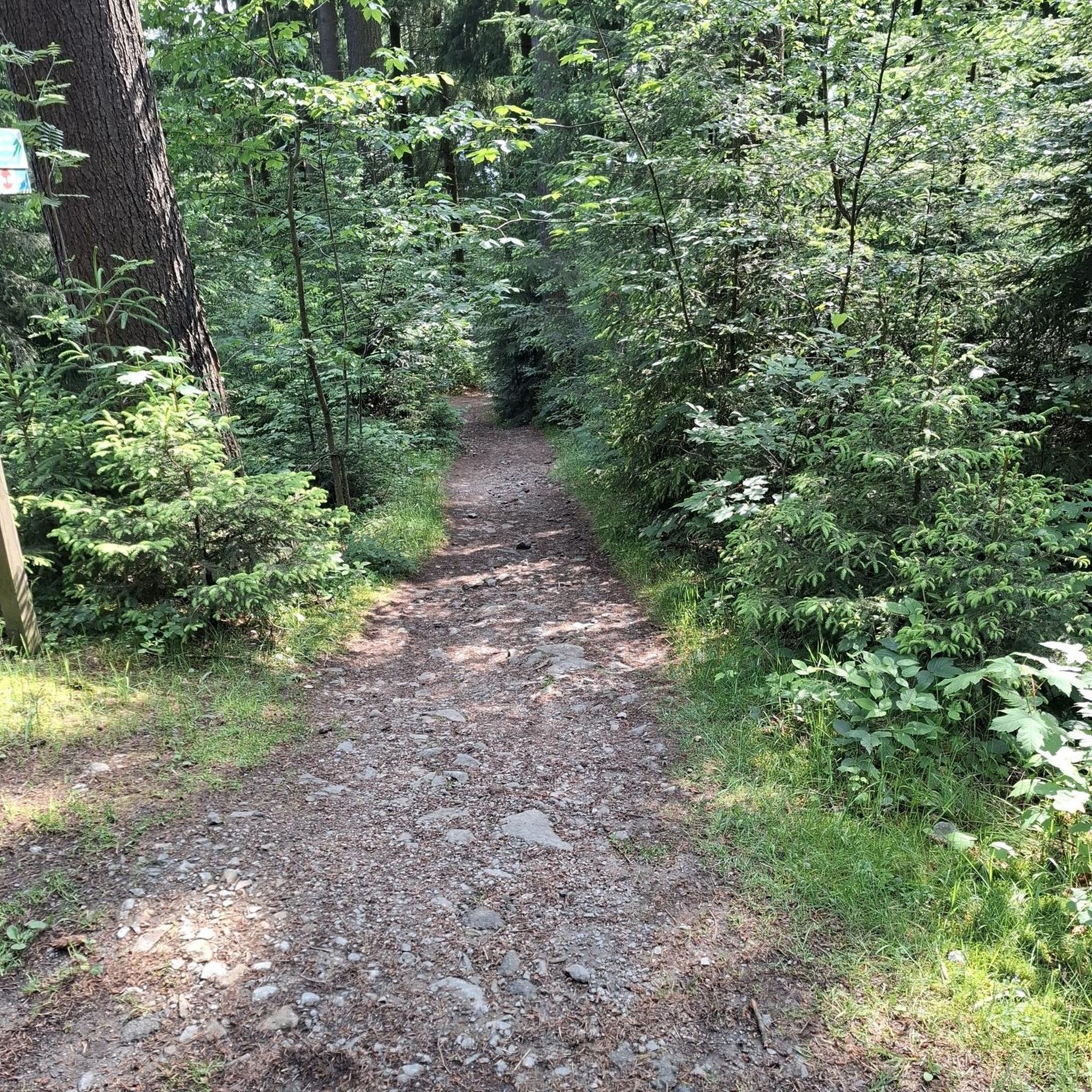

Tips from the Community

Anchor pub Aspley Heath. Perfect stopping point halfway round. Lots of lunch options as well as main meals. Nice terrace out the front and looks great inside. Recommended.
0
0


The Milton Keynes Boundary Walk is a scenic circular walk around Milton Keynes. It is a long walk of around 60 miles long and this section is abutting Woburn Golf Club.
0
0
Aspley Guise is the quintessentially charming English village with the obligatory church, pub, village hall and a couple of eating places.
0
0
As its name implies, the Milton Keynes Boundary Walk is a circular walk around Milton Keynes. It is about 60 miles long and this section going through the woods abutting Woburn Golf Club is particularly nice and tranquil.
0
0
Wavendon Wood is a mixture of beautiful conifer woodland with some areas of semi-ancient woodland and heathland and it is just outside Milton Keynes. The woodland also contains Danesborough Iron Age Hill Fort. It is a beautiful tranquil place to come for your hike or run.
0
0

Aspley Guise is a charming little village near Woburn that features a church, pub and a couple of places to eat including Blue Orchid Restaurant.
1
0
Frequently Asked Questions
How many hiking trails are available in Hulcote And Salford?
There are over 500 hiking routes around Hulcote And Salford, offering a wide variety of options for exploring the local countryside. These trails are highly rated by the komoot community, with an average score of 4.5 stars.
Are there easy hiking routes suitable for beginners in Hulcote And Salford?
Yes, Hulcote And Salford offers many easy hiking routes perfect for beginners or those looking for a gentle stroll. Over 300 of the available trails are rated as easy. An example is the Mill Way Gravel Byway – Aspley Guise Village Centre loop from Woburn Sands, which is about 3.5 miles long and takes around 1 hour 30 minutes to complete.
Can I find circular walking routes in the Hulcote And Salford area?
Many of the hiking routes in Hulcote And Salford are designed as circular walks, allowing you to start and end at the same point without retracing your steps. These loops often traverse the mix of arable land, grassland, and woodlands characteristic of the area.
Are the trails in Hulcote And Salford suitable for families with children?
The gentle terrain and numerous easy routes make Hulcote And Salford suitable for family walks. The landscape, characterized by fields, woodlands, and small streams, provides a pleasant environment for children to explore. Consider routes with minimal elevation gain for younger hikers, such as the Eats Beans Leaves Café – Cranfield Airport loop from Cranfield.
Are dogs allowed on the hiking trails around Hulcote And Salford?
Generally, dogs are welcome on public footpaths and bridleways in the Hulcote And Salford area. However, it's always recommended to keep dogs on a lead, especially when walking through farmland with livestock or during nesting seasons in wooded areas. Please ensure you follow the Countryside Code.
What kind of natural features or landscapes can I expect to see while hiking here?
Hiking in Hulcote And Salford offers a peaceful experience through a landscape of arable land, grassland, and woodlands. You'll encounter small streams, tributaries of the River Ouzel, which create areas of diverse vegetation. The terrain features gentle inclines and descents, with the highest point reaching 386 feet at Holcot Wood.
Are there any interesting landmarks or attractions near the hiking trails?
While Hulcote and Salford itself is a tranquil rural area, the broader region offers points of interest. Nearby, you can find various lakes such as Tongwell Lake or Caldecotte Lake. The area also has historical roots, with mentions of Hulcote Mill and Hulcote Manor dating back to the Domesday Book, adding a layer of interest to local walks.
What do other hikers enjoy most about hiking in Hulcote And Salford?
The komoot community highly rates the hiking experience in Hulcote And Salford, with an average score of 4.5 stars from over 1200 reviews. Hikers often praise the peaceful rural paths, the mix of fields and woodlands, and the gentle elevation changes that make for enjoyable and accessible walks.
Are there any moderate hiking trails for a bit more challenge?
Yes, for those seeking a bit more challenge, there are over 200 moderate hiking trails in the area. A popular moderate route is the Danesborough MTB Trail – Wavendon Wood loop from Aspley Guise, which is about 6.1 miles long and includes varied terrain through Wavendon Wood.
What is the best time of year to go hiking in Hulcote And Salford?
The best time to hike in Hulcote And Salford is generally during the spring, summer, and early autumn months when the weather is milder and the paths are drier. Spring brings blooming wildflowers, while autumn offers beautiful foliage. Even in winter, the trails can be enjoyable, though some paths may be muddier due to the clay soil.
Where can I find parking for hiking trails in Hulcote And Salford?
As a rural parish, specific designated car parks for every trail may be limited. However, you can often find roadside parking in or near the villages of Hulcote and Salford, or at the start points of some of the longer routes. Always ensure you park responsibly and do not obstruct local residents or agricultural access.
Are there any pubs or cafes near the hiking routes in Hulcote And Salford?
While Hulcote and Salford are small villages, the surrounding area and nearby towns offer options for refreshments. Some routes, like the Eats Beans Leaves Café – Cranfield Airport loop from Cranfield University, are named after local establishments, indicating places where you might find a cafe or pub to stop at during or after your hike.
Most popular attractions around Hulcote And Salford

Get inspired with the komoot mobile app


Explore more
Browse the best Hikes in other regions.
