The best walks and hikes around Loch Macaterick
4.4
(37)
331
hikers
11
hikes
Hiking around Loch Macaterick offers diverse trails within East Ayrshire, Scotland, nestled in the vast Galloway Forest Park. The region is characterized by the serene loch itself, surrounded by impressive peaks like Macaterick and Craigfionn. Hikers can expect to encounter mossy forests and areas that can be notably wet underfoot, contributing to the wild character of the landscape. Expansive panoramic views are a common reward along many routes.
Best hiking trails around Loch Macaterick
- The most popular hiking route is Cornish Hill Trail, an easy 3.5 miles (5.6 km) trail that takes 1 hour 33 minutes to complete. This path offers panoramic vistas and leads through mossy woodlands to the tranquil Cornish Loch.
- Another top favourite among local hikers is Loch Doon Castle Ruins – Loch Doon Castle Ruins loop from Wee Hill of Craigmulloch, an easy 2.8 miles (4.5 km) path. This route provides historical intrigue and views of Loch Doon.
- Local hikers also love the West Side of Loch Bradan – Loch Braden loop from Water of Girvan, a 6.7 miles (10.8 km) trail leading through varied terrain, often completed in about 2 hours 50 minutes.
- Hiking around Loch Macaterick is defined by impressive peaks, mossy forests, and expansive panoramic views. The network offers options for different ability levels, from easy paths to more demanding routes.
- The routes in Loch Macaterick are highly rated by the komoot community with an average score of 4.4 stars from more than 30 reviews. More than 300 hikers have used komoot to explore Loch Macaterick's varied terrain.
Last updated: June 25, 2026
4.0
(2)
23
hikers
10.8km
02:49
80m
90m
Moderate hike. Good fitness required. Easily-accessible paths. Suitable for all skill levels.
8
hikers
3.53km
01:01
90m
90m
Easy hike. Great for any fitness level. Easily-accessible paths. Suitable for all skill levels.

Sign up for free
5.0
(3)
19
hikers
Easy hike. Great for any fitness level. Easily-accessible paths. Suitable for all skill levels.
4.8
(19)
159
hikers
5.56km
01:33
110m
110m
Embark on the Cornish Hill Trail, an easy hike spanning 3.5 miles (5.6 km) with a gentle elevation gain of 365 feet (111 metres). This route offers a pleasant journey through varied landscapes, transitioning from quiet, mossy forest paths to more open moorland. You will find yourself enjoying panoramic views across the Ayrshire countryside from the summit of Cornish Hill, and on a clear day, you might even spot Ailsa Craig in the distance. The entire experience should take you around 1 hour and 33 minutes to complete at a comfortable pace.
To begin your adventure, head to the large car park located at Stinchar Bridge, which serves as a convenient starting point for the trail. While the path is generally well-maintained, be aware that some sections can be rocky and uneven underfoot. For this reason, wearing good walking boots is recommended to ensure proper ankle support and comfort throughout your hike. Plan your visit during daylight hours to fully appreciate the scenery and ensure a safe return.
This trail is a highlight within Galloway Forest Park, offering a peaceful escape into nature. Beyond the summit views, you will also encounter the tranquil Cornish Loch, which beautifully reflects the surrounding natural environment. It is an ideal choice if you are looking for a straightforward outdoor activity that provides both scenic beauty and a sense of calm without demanding strenuous effort.
5.0
(1)
4
hikers
13.7km
04:41
540m
540m
Moderate hike. Good fitness required. Mostly accessible paths. Sure-footedness required.
Get access to more routes and recommendations from other explorers.
Sign up for free
Already have an account?
Our route recommendations are based on thousands of hikes, rides, and runs completed by other people on komoot.
Start today with a free account
Your next adventure awaits.
Login or Signup
Popular around Loch Macaterick
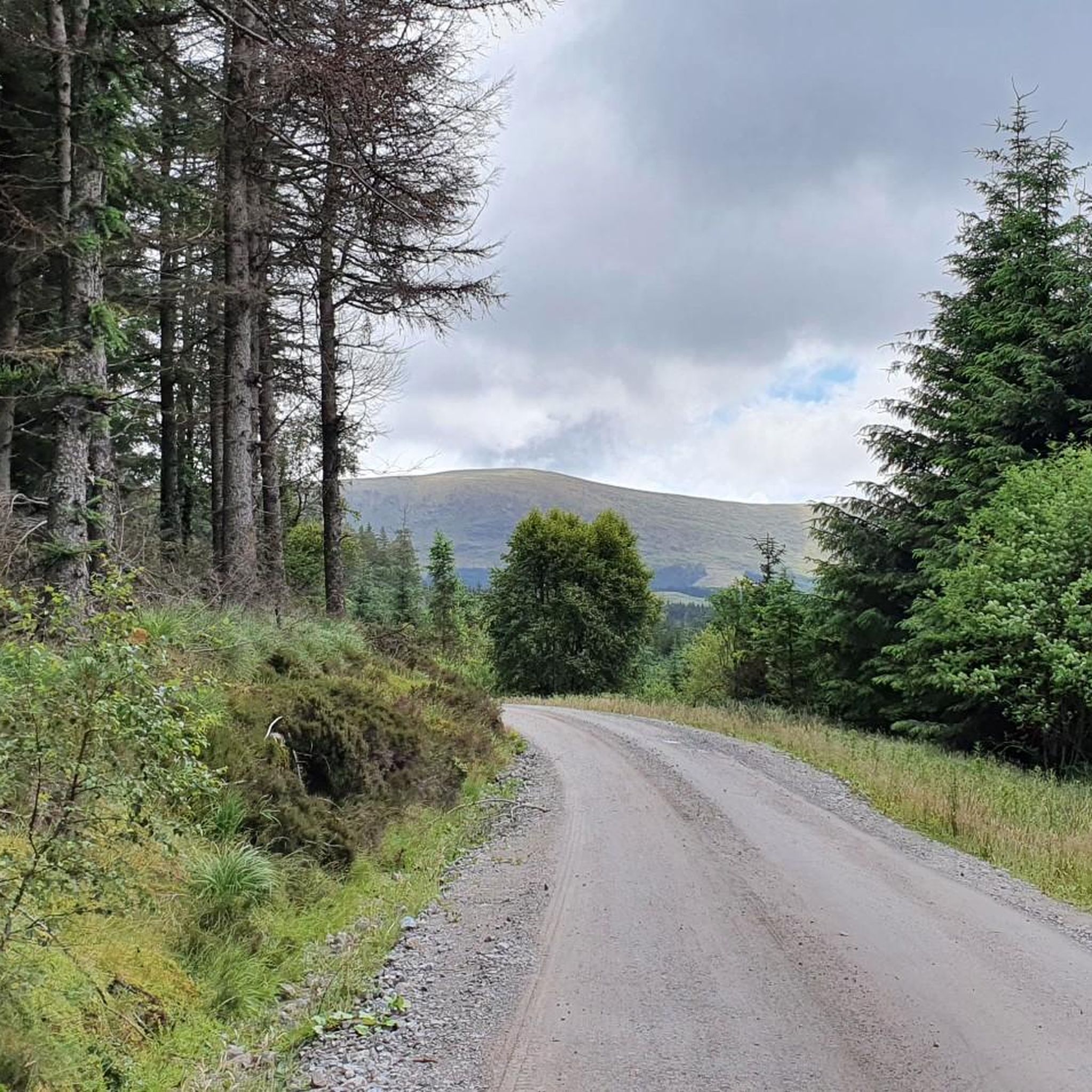
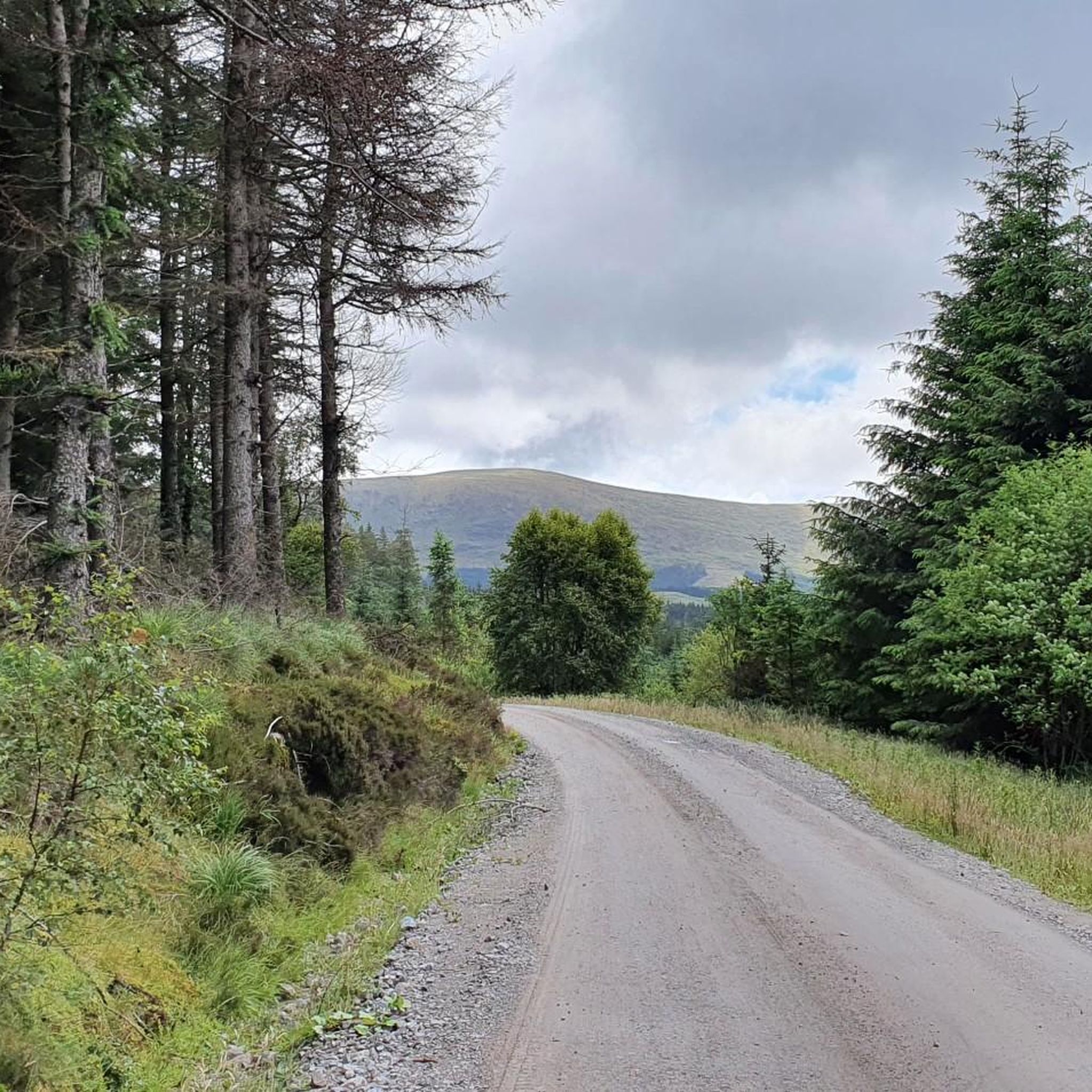
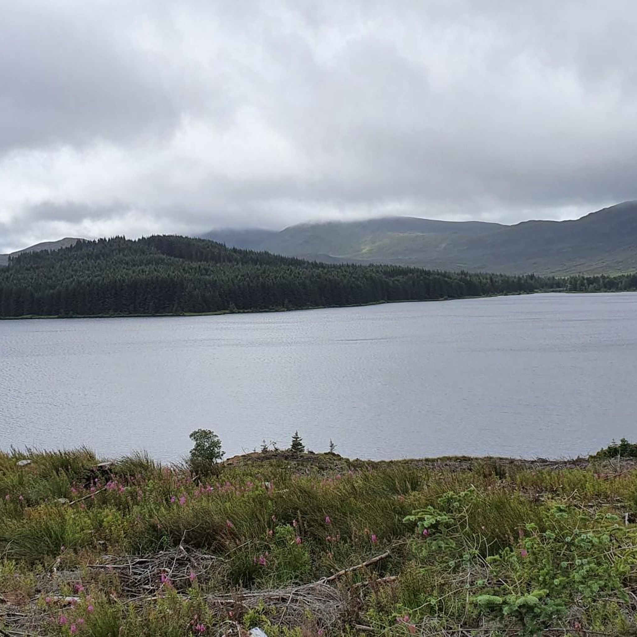
Tips from the Community

Even at the height of summer (and there has been very little rain this summer) this is a very boggy walk and you need to be very sure footed with good waterproof footwear. The views are excellent on a clear day. Would I do it again, probably not.
0
0


You can’t continue on this road and take the forrest track on to Stration.
0
0

Fantastic views across the wild rolling hills of Ayrshire. On a clear day, you should be able to spot Loch Braden.
1
0
This secluded and peaceful loch is nestled in the wide-open hills of south Ayrshire. Take a seat and enjoy the views.
1
0

Castle ruins on the side of Loch Doon. According to reports the ruins are currently fenced off (Oct 2022). but it's still worth stopping by the site for a look.
0
0
Unfortunately the Health and Safety mob have fenced off this ruin as they are doing to many such structures in Scotland.
0
0

Loch Doon Castle used to be located on an island within Loch Doon. It was dismantled and rebuilt on the side of the loch after the loch water level was raised in the 1930s for a hydro-electric scheme. Plenty of history to appreciate as the caslte was built in the 14th century and important in the Scottish wars of independence. Great views of the Loch too, so a good place to stop and explore.
0
0
Frequently Asked Questions
How many hiking trails are available around Loch Macaterick?
There are over 10 hiking trails around Loch Macaterick, offering a variety of experiences for different skill levels. The komoot community has explored these routes over 300 times.
What kind of terrain can I expect on hikes around Loch Macaterick?
Hikers around Loch Macaterick can expect diverse terrain, including mossy forests and areas that can be notably wet underfoot, contributing to the wild character of the landscape. You'll encounter impressive peaks and be rewarded with expansive panoramic views.
Are there any easy trails suitable for beginners or families?
Yes, there are several easy trails perfect for beginners or families. The Cornish Hill Trail is an accessible 3.5-mile path offering panoramic vistas and leading through mossy woodlands. Another easy option is the Loch Doon Castle Ruins loop, which provides historical intrigue and views of Loch Doon.
What are some notable natural features or landmarks to look out for?
The region is rich in natural beauty. You'll find the serene Loch Macaterick itself, surrounded by impressive peaks like Macaterick and Craigfionn. The Cornish Hill Trail leads to the tranquil Cornish Loch, and the broader Galloway Forest Park is known for its mossy forests. While not directly on Loch Macaterick, nearby Loch Enoch features white, sandy beaches.
Are there any historical sites accessible via hiking trails?
Yes, the Loch Doon Castle Ruins loop offers a chance to explore the ruins of a 14th-century castle. Although it was fenced off in October 2022, it still provides historical intrigue and excellent views of Loch Doon, having been significant in the Scottish Wars of Independence.
Can I find circular hiking routes around Loch Macaterick?
Yes, several routes are designed as loops. For example, the Loch Doon Castle Ruins loop is an easy circular path. Another option is the West Side of Loch Bradan – Loch Braden loop, which is a moderate 6.7-mile trail.
Is the area suitable for dog walking?
Loch Macaterick and the surrounding Galloway Forest Park are generally very welcoming for dogs, offering a remote and quiet ambiance for walks. However, always ensure your dog is under control, especially near livestock or wildlife, and follow the Scottish Outdoor Access Code.
What do other hikers enjoy most about the trails here?
The trails around Loch Macaterick are highly rated by the komoot community, with an average score of 4.4 stars. Hikers often praise the expansive panoramic views, the wild and authentic character of the landscape, and the serene beauty of the lochs and mossy forests.
Are there opportunities for wildlife spotting?
Yes, the Galloway Forest Park, which encompasses Loch Macaterick, is known for its wildlife. Enthusiasts might be fortunate enough to spot ospreys in the area, among other native species.
What is the best time of year to hike around Loch Macaterick?
While the region offers beauty year-round, the terrain can be notably wet underfoot. Spring and summer provide longer daylight hours and generally milder conditions, making them ideal for exploring. Autumn brings beautiful foliage, though paths may become wetter.
Are there any challenging routes for experienced hikers?
Yes, while there are many easy options, the area also offers more demanding routes that necessitate good fitness and sure-footedness. These trails often lead to impressive peaks like Macaterick and Craigfionn, providing a rewarding challenge.

Get inspired with the komoot mobile app


Explore more
Browse the best Hikes in other regions.
