The best running trails around Loch Dochard
4.8
(4)
185
runners
5
runs
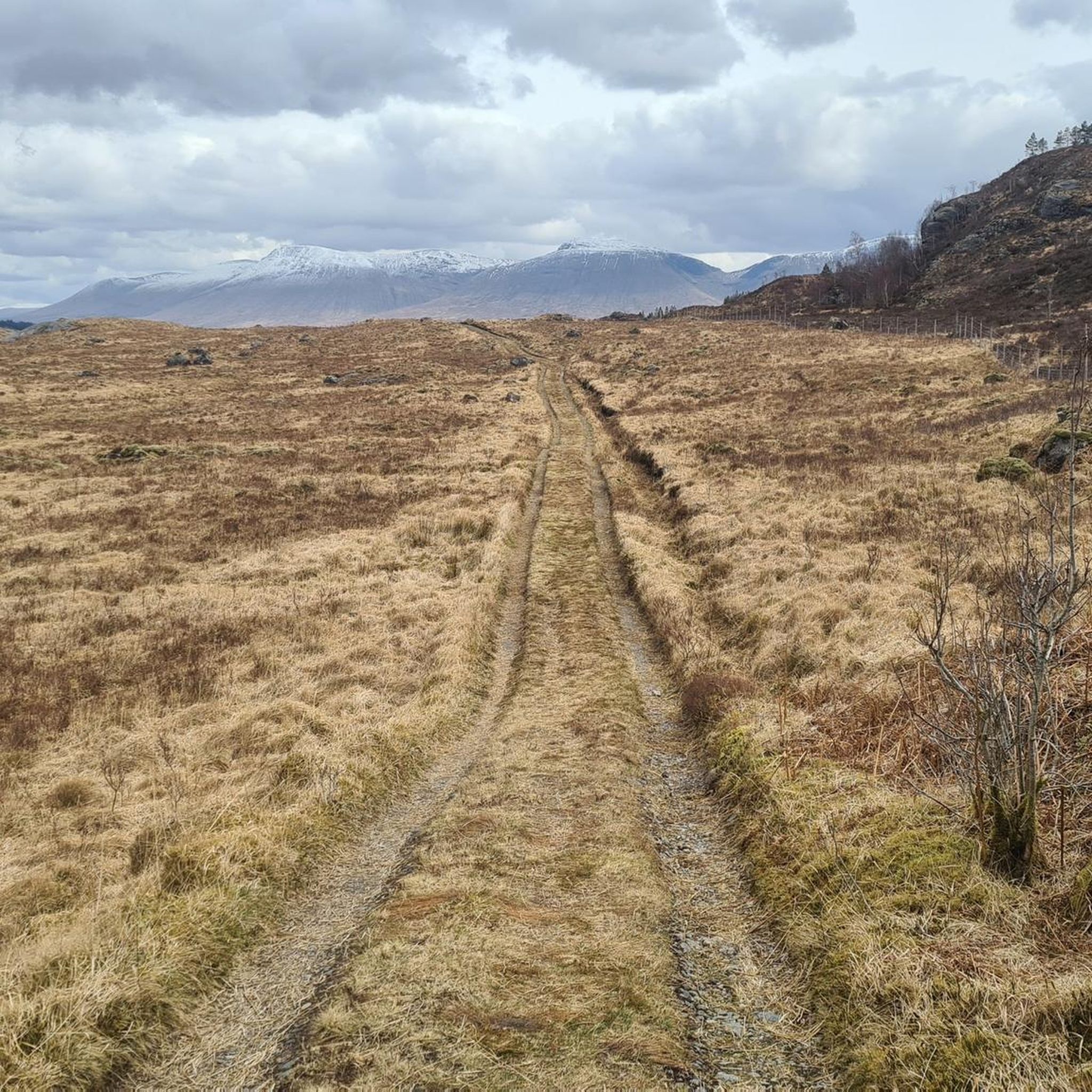
Jogging routes around Loch Dochard traverse a landscape shaped by towering mountains, lush forests, and glacial valleys within Scotland's Loch Lomond & The Trossachs National Park. The region features the interconnected Loch Dochart and Loch Iubhair, linked by the River Dochart, offering extensive scenic paths along the water's edge. This area provides a tranquil environment for running, characterized by its striking Scottish Highlands scenery. The terrain includes varied paths, from forest tracks to more challenging mountain trails, suitable for different…
Last updated: July 1, 2026
5.0
(1)
37
runners
16.6km
04:17
1,120m
1,120m
Hard run. Very good fitness required. Sure-footedness, sturdy shoes and alpine experience required.
22.6km
04:10
1,160m
1,160m
Hard run. Very good fitness required. Sure-footedness, sturdy shoes and alpine experience required.

Sign up for free
5.0
(1)
55
runners
Hard run. Very good fitness required. Mostly paved surfaces. Suitable for all skill levels.
12
runners
12.6km
02:24
750m
750m
Hard run. Very good fitness required. Sure-footedness, sturdy shoes and alpine experience required.
1
runners
Hard run. Very good fitness required. Sure-footedness, sturdy shoes and alpine experience required.
Our route recommendations are based on thousands of hikes, rides, and runs completed by other people on komoot.
Start today with a free account
Your next adventure awaits.
Login or Signup
Popular around Loch Dochard
Tips from the Community

Excellent ridge route, a little exposed in places.
0
0
Not as exciting as it's neighbour but still worthwhile.
0
0

Rannoch Moor is a wild area of boggy moorland west of Loch Rannoch and bordered on the east by the mountains of Glen Etive and the Glen Coe’s majestic Buachaille Etive Mòr. The West Highland Way long distance trail crosses the moor on its way north to Fort William. This is close to the highest point on the moor, where a large cairn is set in memory of Peter Fleming (brother of author Ian Fleming), owner of Black Rock Estate. He had a heart attack and died when shooting on 18th August 1971.
0
0
The Glencoe Ski Resort is a brilliant base for adventures, with walking, running and mountain bike trails in the summer and ski runs in the winter. There is a café and other facilities at the centre and accommodation on site. The West Highland Way trail passes close to the centre and makes a very easy detour. This is mile 71 (114 km) and acts as checkpoint five of the West Highland Way Race.
0
0

A beautiful section of the West Highland Way where you can hardly take your eyes off the mountain massif.
0
0

Just before the Kingshouse Hotel is a small block with public toilets and showers, open to the public. You can use them as you pass through or even camp just 5 minutes before.
0
1

nice contrast. This white house in the landscape full of yellow and brown tones in autumn.
1
0
Frequently Asked Questions
What is the general difficulty level of running routes around Loch Dochart?
The running routes currently featured around Loch Dochart are generally considered difficult. They often involve significant elevation gain and cover mountainous terrain, making them suitable for experienced runners seeking a challenge. For example, routes like Stob Ghabhar and Stob a'Choire Odhair trail running loop from Loch Tulla involve over 1,100 meters of ascent.
Are there any family-friendly running paths near Loch Dochart?
While the specific routes highlighted in this guide are challenging, the broader Loch Dochart area, nestled within Loch Lomond & The Trossachs National Park, offers a variety of terrains. The region research indicates that there are trails ranging from under 3 miles with minimal elevation gain, suitable for all skill levels, to more demanding options. You can find forest tracks and paths along the loch's edge that might be more suitable for families, though specific easy routes are not detailed in the current selection.
Can I bring my dog on the running trails around Loch Dochart?
Loch Dochart is a natural area within a National Park, and generally, dogs are welcome on trails. However, it's crucial to keep dogs under control, especially due to the presence of wildlife such as Red Deer, Otters, and various bird species. Always follow the Scottish Outdoor Access Code, which advises keeping dogs on a lead or under close control, particularly near livestock or during bird nesting seasons.
What kind of landscapes can I expect to see while running in the Loch Dochart area?
Runners in the Loch Dochart area will experience breathtaking Scottish Highlands scenery. The routes traverse a landscape shaped by towering mountains, lush forests, and glacial valleys. You'll encounter the tranquil waters of Loch Dochart and Loch Iubhair, connected by the River Dochart, offering extensive scenic paths. The region is also known for its rich biodiversity, providing opportunities for wildlife spotting.
Are there any circular running routes available?
Yes, several routes in the area are circular. For instance, the Rannoch Moor – River Ba Bridge loop from Eilean na h-Ainnis is a circular trail covering 29.5 km. Another example is the Stob a' Choire Odhair loop from Eilean na h-Ainnis, which is a 14.7 km circular route.
What are some notable landmarks or points of interest along the running routes?
While running in the Loch Dochart area, you can enjoy views of the majestic scenery of the Breadalbane region. A significant historic landmark is Castle Dochart, dating back to the late 1500s, located on a wooded island in Loch Dochart. The River Dochart also leads to the famous Falls of Dochart in the nearby village of Killin, offering another scenic point of interest.
How long do the running routes typically take to complete?
The duration of the running routes varies significantly based on distance and difficulty. For example, the challenging Stob Ghabhar and Stob a'Choire Odhair trail running loop (16.6 km) typically takes around 4 hours 17 minutes. A longer route like the Aonach Eagach and Stob Ghabhar ridge run (22.6 km) can take approximately 4 hours 10 minutes.
What is the best time of year to go running around Loch Dochart?
The Loch Dochart area offers stunning scenery year-round. However, for optimal running conditions, spring and autumn often provide cooler temperatures and fewer midges, with vibrant foliage or blooming wildflowers. Summer offers longer daylight hours, but can be warmer. Winter running is possible, but requires very good fitness and alpine experience due to potential snow and ice, especially on higher mountain trails.
Are there options for public transport to access the running trails?
The region's proximity to the West Highland Way, a renowned long-distance route, suggests some accessibility. However, specific public transport options directly to the trailheads around Loch Dochart are limited. It's advisable to check local bus services or consider car access, especially for routes starting from more remote locations like Eilean na h-Ainnis.
Where can I find parking for the running routes?
While specific parking locations for each trailhead are not detailed in the guide data, many outdoor activity areas in Scotland, especially within National Parks, offer designated parking facilities. For routes starting from more remote points, roadside parking might be available, but always ensure you park responsibly and do not obstruct access or damage verges.
What do other runners say about the trails in Loch Dochart?
The running routes in Loch Dochart are highly rated by the komoot community, with an average score of 5.0 stars from over 2 reviews. Runners often praise the challenging mountainous terrain and the extensive views of the surrounding Highlands, offering a sense of seclusion and peace immersed in nature.
Are there any cafes or facilities near the running trails?
The Loch Dochart area is known for its tranquil and natural environment, meaning facilities like cafes might not be directly at every trailhead. It's recommended to plan your run with provisions and check for amenities in nearby villages such as Killin or Crianlarich, which are within reasonable driving distance.
Most popular routes around Loch Dochard

Get inspired with the komoot mobile app


Explore more
Browse the best Running Trails & Routes in other regions.
