The best mountain hikes around Loch Restil
4.5
(6)
64
hikers
4
hikes
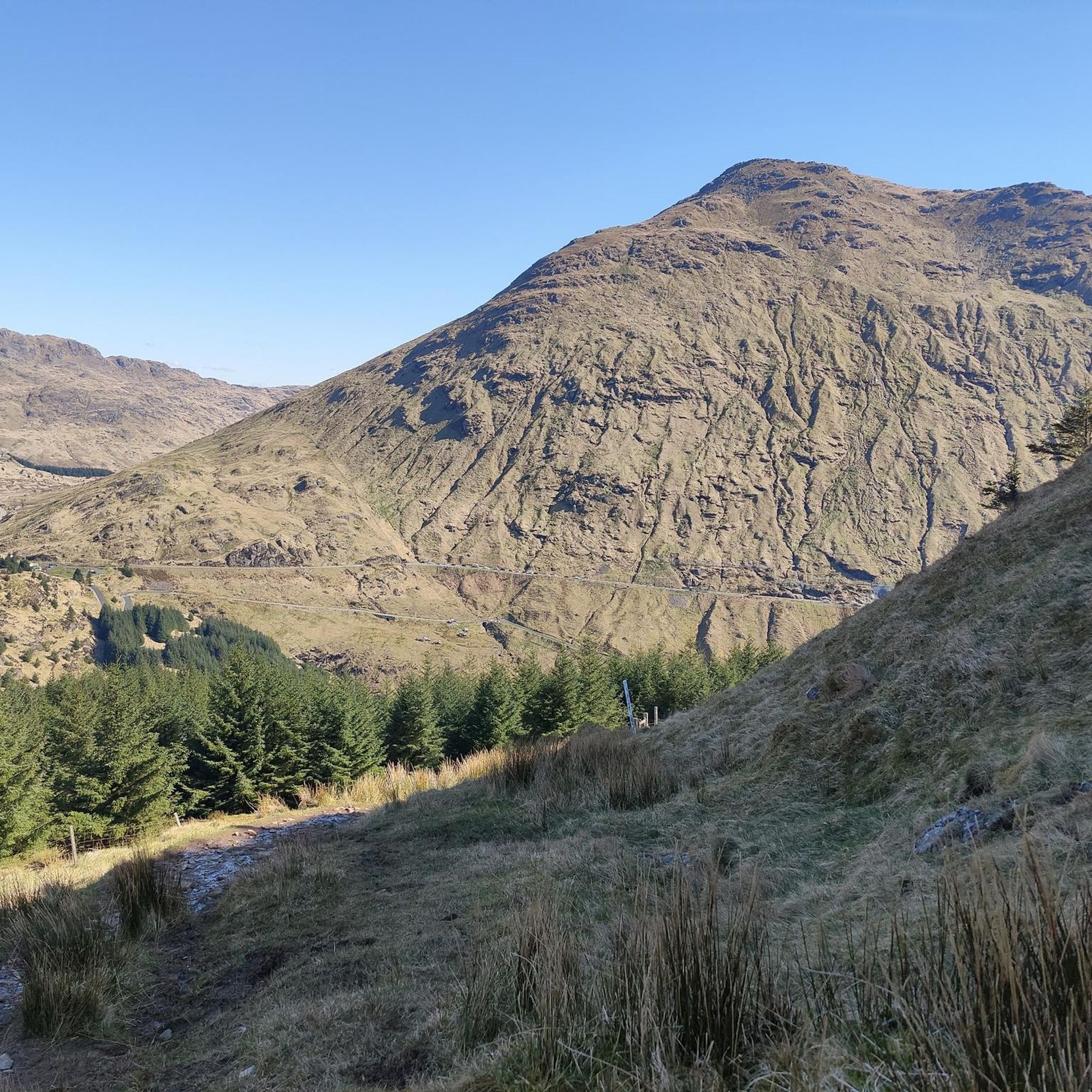
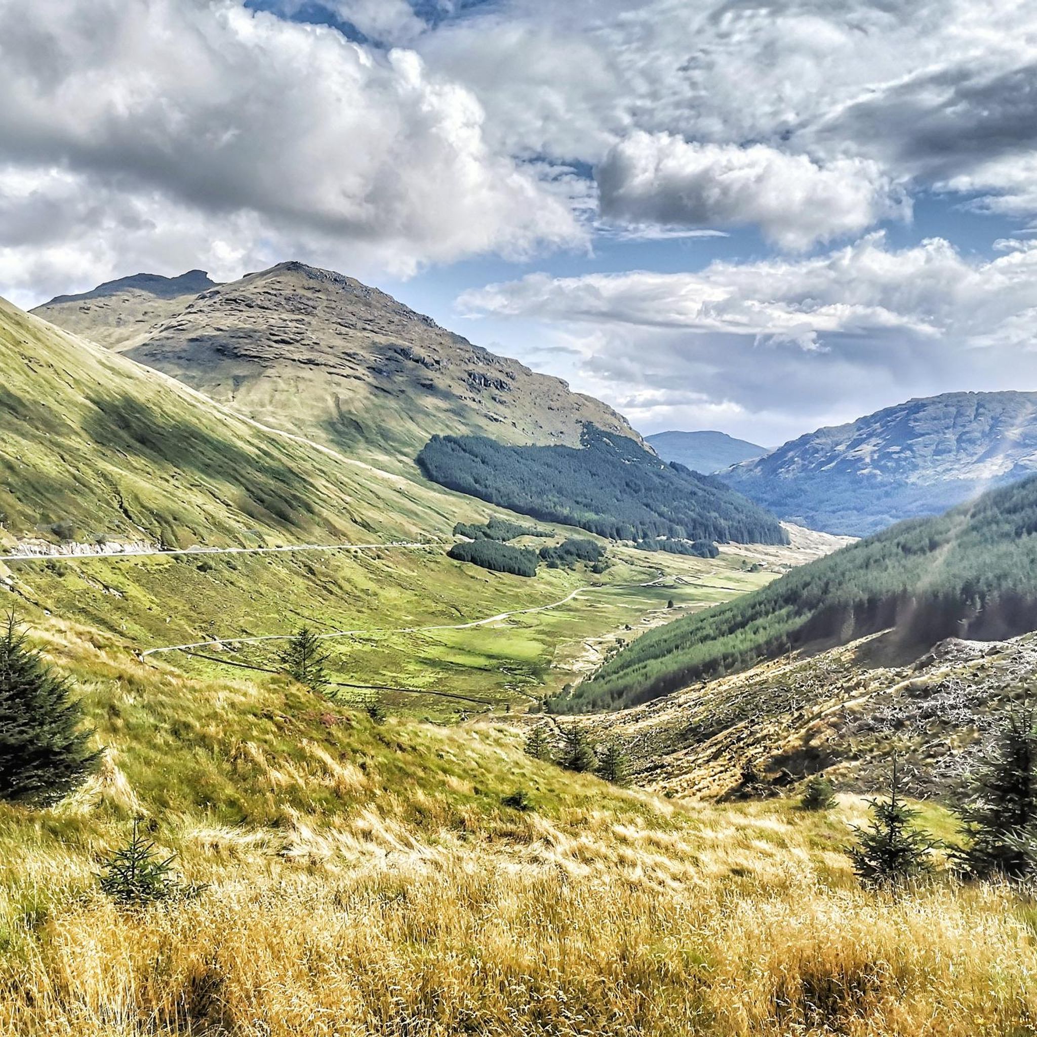
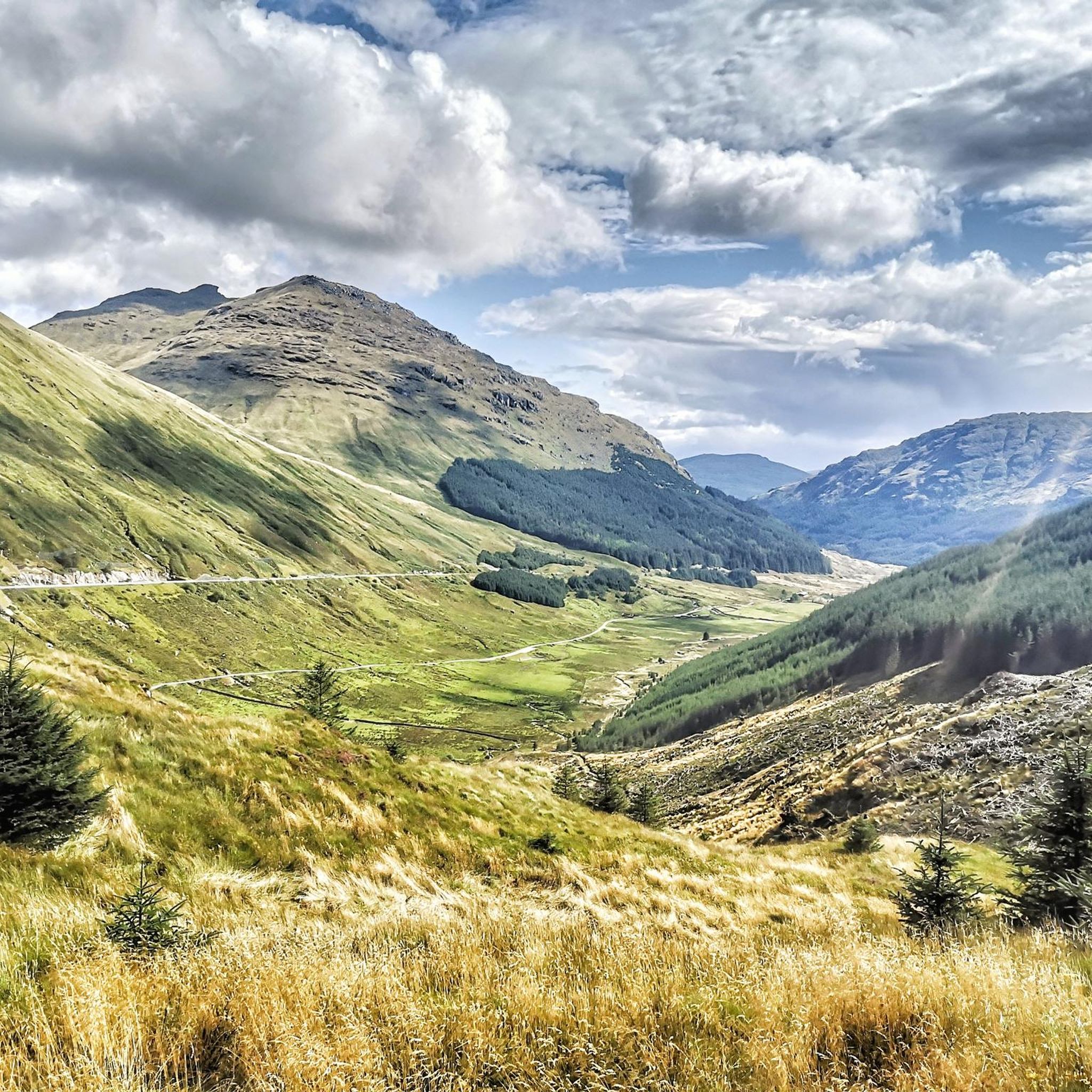
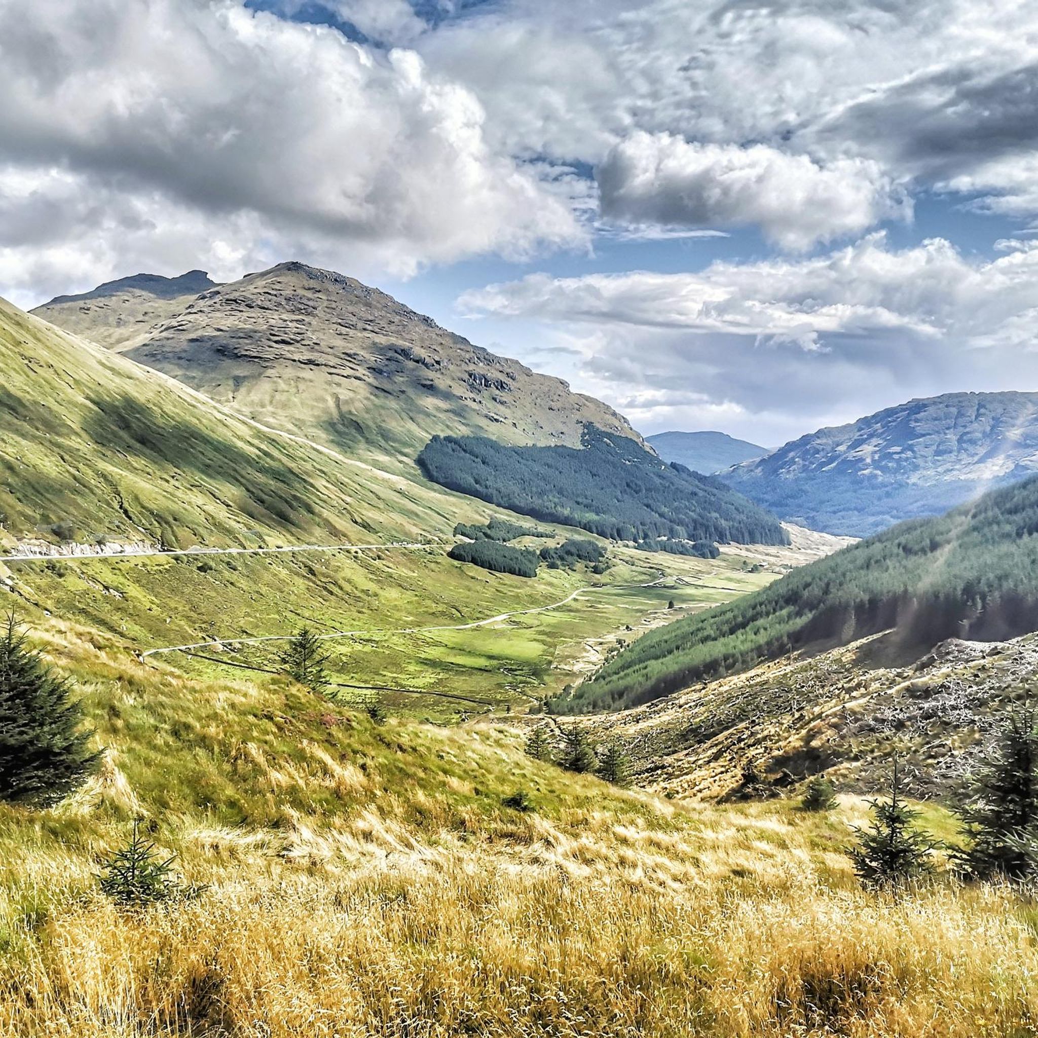
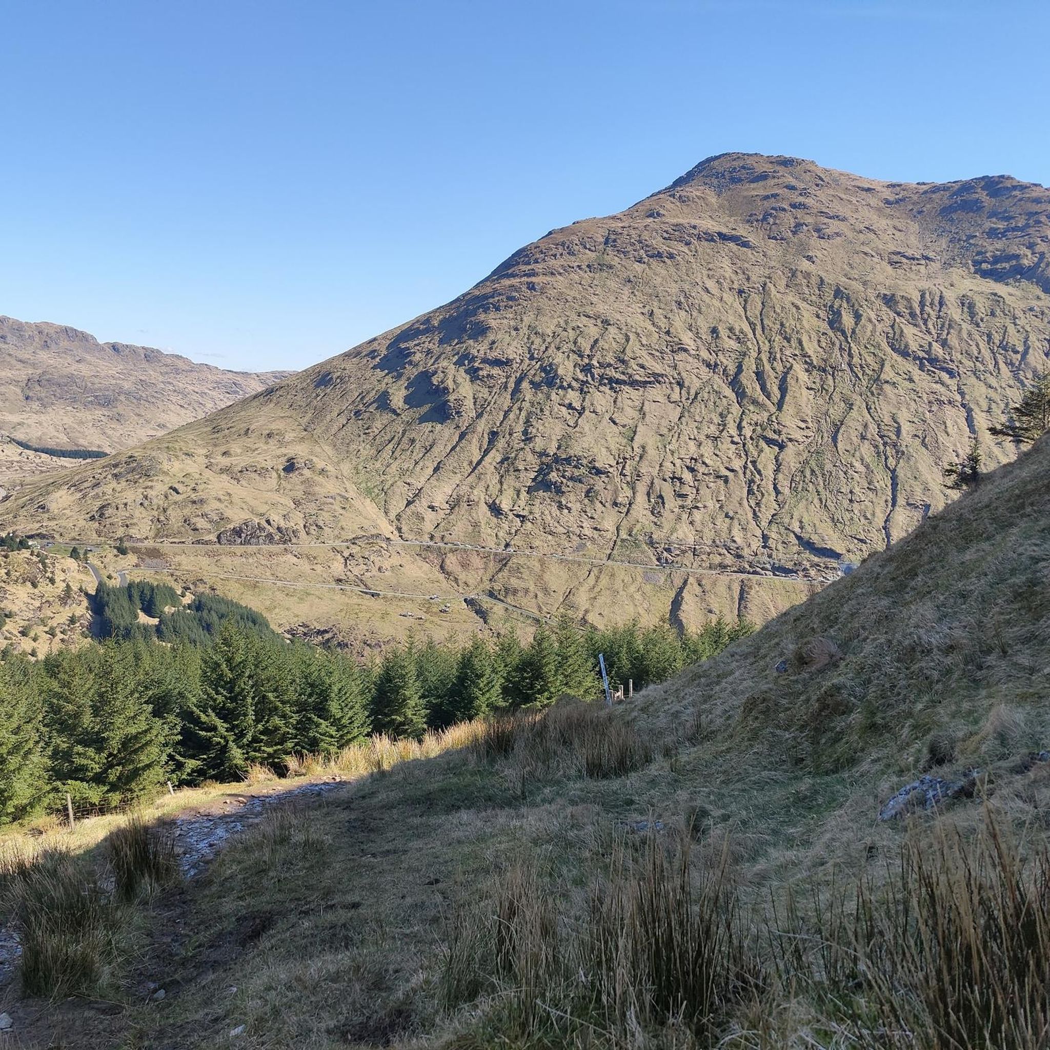
Mountaineering routes around Loch Restil are situated on the Cowal peninsula within both the Argyll Forest Park and the Loch Lomond & The Trossachs National Park. The region is characterized by rugged, mountainous terrain, forming part of the Arrochar Alps, with steep, rocky peaks and deep glens. This area offers a diverse natural environment for mountaineers, featuring ascents to prominent summits and paths with views of the freshwater loch.
Best mountaineering routes around Loch Restil
- The most popular mountaineering route…
Last updated: June 24, 2026
1
hikers
Moderate mountaineering route. Good fitness required. Easily-accessible paths. Suitable for all skill levels.
5.0
(2)
6
hikers
15.5km
06:24
1,130m
1,130m
Hard mountaineering route. Very good fitness required. Mostly accessible paths. Sure-footedness required.

Sign up for free
4.0
(4)
40
hikers
12.0km
04:57
840m
840m
Hard mountaineering route. Good fitness required. Sure-footedness, sturdy shoes and alpine experience required.
17
hikers
14.4km
06:16
1,240m
1,240m
Hard mountaineering route. Very good fitness required. Mostly accessible paths. Sure-footedness required.
Our route recommendations are based on thousands of hikes, rides, and runs completed by other people on komoot.
Start today with a free account
Your next adventure awaits.
Login or Signup
Tips from the Community

Beautiful view of Long Loch and the mountain Ben Lomond behind. There is also a bench nearby, so you can rest if you are tired after the little climb.
5
0

This route shows off the best side of the Cobbler.
0
0

Travelled here January this year when it just snowed the night before. Ascended from the north after The Cobbler, and the snow was pretty deep (over ankle), making the journey strenuous. The way down was blazing beautiful under the sunset, but it was quite dangerous as the passage was steep, narrow and slippery with all the snow. Ice axe stopped a couple of slips that could end up very unfavourably for me : ) But overall it's an unforgettable day
0
0

I've cycled up it a few times - good alternative to the main road and its contra-flow
0
0

Unfortunately, dogs are not allowed on more than half of the Toure
0
0

In Feb. 2022 'done' this beautiful top in 2 attempts. The first day it stormed, so I decided to return halfway and pitch my tent again in the same spot. The next day the weather was beautiful as shown in the video below. The entire report of this adventure can be found here: https://www.bldhiking.nl/schotland-februari-2022/ https://youtu.be/lSSNLefJ8oo?si=5ZsaTBJts5CQf976
0
0
Frequently Asked Questions
How many mountaineering routes are available around Loch Restil?
There are 4 distinct mountaineering routes detailed around Loch Restil, offering a range of challenges from moderate to difficult ascents within the Arrochar Alps.
What is the best time of year for mountaineering around Loch Restil?
The region around Loch Restil, part of the Arrochar Alps, offers rewarding mountaineering experiences throughout the year. However, for the most favorable conditions, late spring to early autumn (May to October) generally provides more stable weather and longer daylight hours. Winter mountaineering is possible but requires appropriate gear and experience due to potential snow, ice, and rapidly changing conditions.
Are there any family-friendly mountaineering options near Loch Restil?
While many routes in the Arrochar Alps are challenging, there is a moderate option suitable for families with some hiking experience. The View of Loch Restil – Rest and Be Thankful Bus Stop loop from Beinn an Lochain is a 4.8-mile trail that offers scenic views of the loch and surrounding mountains without extreme difficulty.
Can I bring my dog on the mountaineering trails around Loch Restil?
Yes, dogs are generally welcome on trails around Loch Restil, provided they are kept under close control, especially near livestock or wildlife, in accordance with the Scottish Outdoor Access Code. Always ensure your dog is capable of handling the terrain and distance of your chosen route. For example, the View of Loch Restil – Rest and Be Thankful Bus Stop loop from Beinn an Lochain is a good option for a moderate outing with your dog.
What are the parking options for accessing mountaineering routes in the Loch Restil area?
Parking is typically available at common starting points for routes in the Arrochar Alps, such as near the 'Rest and Be Thankful' pass or in villages like Succoth and Ardgartan. Specific parking details may vary by trailhead, so it's advisable to check local signage upon arrival.
Is it possible to reach the mountaineering routes around Loch Restil using public transport?
Public transport access to the Loch Restil area is limited but possible. Buses serve some of the main roads, including those passing through the 'Rest and Be Thankful' area or near villages like Arrochar, which can be starting points for some routes. It's recommended to check current bus schedules and routes in advance, as services can be infrequent.
What kind of terrain can I expect on mountaineering routes near Loch Restil?
The terrain around Loch Restil is characteristic of the Arrochar Alps, featuring rugged, mountainous landscapes with steep, rocky peaks and deep glens. You can expect varied paths, from well-trodden trails to more challenging rocky ascents, offering a true mountaineering experience.
Are there any circular mountaineering routes in the Loch Restil region?
Yes, several routes in the area are circular, allowing you to return to your starting point without retracing your steps. An example is the Beinn Narnain Summit loop from Ardgartan, which offers a challenging circular ascent to a prominent summit.
What is the average duration for mountaineering routes in this area?
The duration of mountaineering routes around Loch Restil varies significantly based on difficulty and distance. A moderate trail like the View of Loch Restil – Rest and Be Thankful Bus Stop loop from Beinn an Lochain can take around 2 hours 13 minutes, while more difficult ascents such as the Ben Arthur (The Cobbler) loop from Succoth typically require about 4 hours 54 minutes.
What do other mountaineers enjoy most about the Loch Restil area?
The Loch Restil area is highly rated by the komoot community, with an average score of 4.5 stars. Mountaineers frequently praise the dramatic landscapes, the challenging ascents to rugged peaks, and the picturesque views of the freshwater loch and surrounding glens. The diverse trail network also offers options for various skill levels.
Are there any particularly challenging mountaineering routes for experienced climbers?
For experienced mountaineers seeking a significant challenge, the Loch Restil area, being part of the Arrochar Alps, offers several difficult routes. The Beinn Narnain Summit – Beinn Ìme loop from Succoth is a demanding 14.4-kilometer trail with over 1200 meters of elevation gain, providing a strenuous and rewarding experience.
Where can I find accommodation or refreshments after a mountaineering trip near Loch Restil?
Nearby villages such as Arrochar, Cairndow, and Inveraray offer various options for accommodation, including pubs with rooms, B&Bs, and hotels. You can also find cafes and pubs in these areas to refuel and relax after your mountaineering adventure.
Most popular routes around Loch Restil

Get inspired with the komoot mobile app


Explore more
Browse the best Mountain Hikes & Routes in other regions.
